Get Lost Mountaineering
You are here: Ireland » East » Wicklow Mountains
Scarr from Glenmacnass Waterfall Car Park
Scarr from Glenmacnass Waterfall Car Park
Start/Finish
Glenmacnass Waterfall car park on the Sally Gap to Laragh road. From Blessington, on the N 81 main road, drive north for about 4 miles/ 6 km to reach a minor road on the right signed for Sally Gap. Follow this for about 8 miles/13 km to the diagonal crossroads at Sally Gap. Turn right, S, and follow the narrow twisting road for about 7 miles11 km to Glenmacnass Waterfall which is signed. If you go past it, you will see the waterfall on your right as the car park comes first. If driving from Laragh, take the Sally Gap road and drive up to the car park which is just past the waterfall. Warning: The official car parks in this area have warning signs about cars being broken into so do not leave anything of any value in your car and especially on view as you may come back to broken windows.
Distance/Time
5 km. About 2 hours
Peaks
Scarr, 641 m, O 013 018. (Irish National Grid System)
Irish OS Discovery Series Map 56 (1:50000)
Introduction
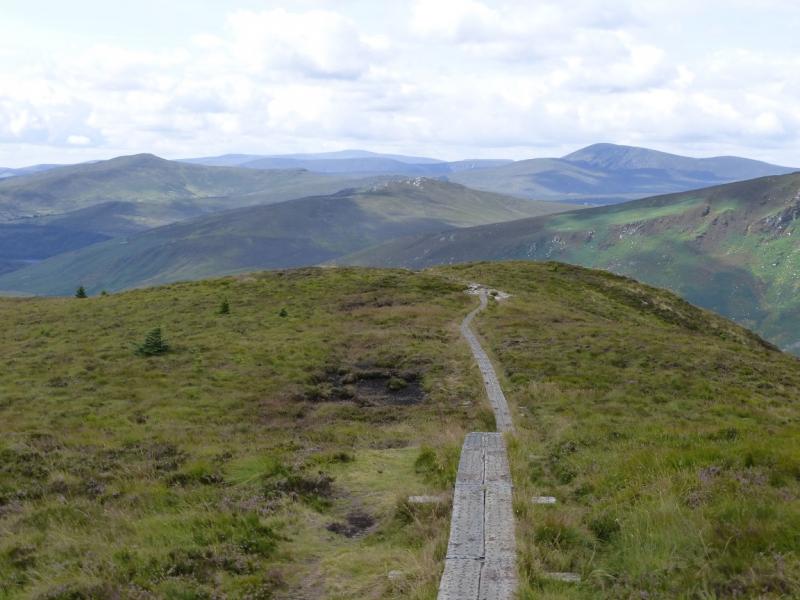
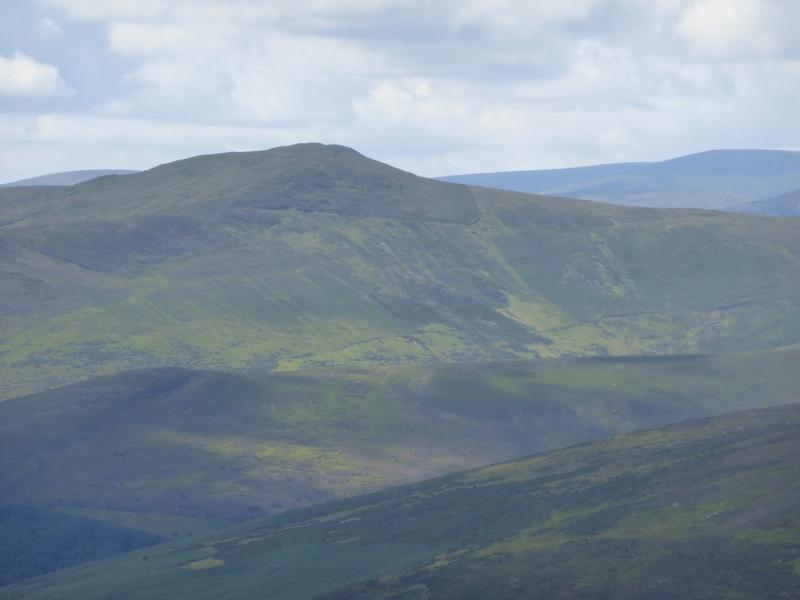
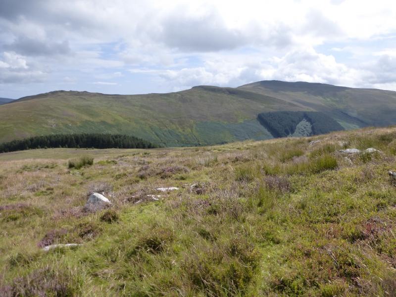
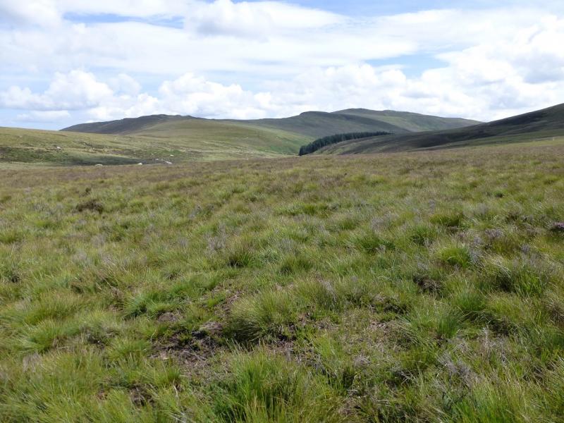
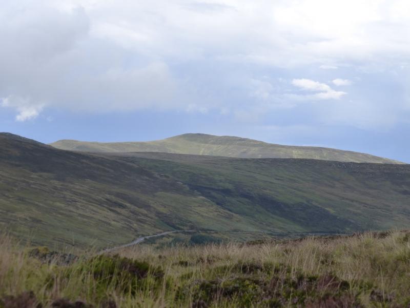
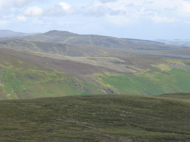
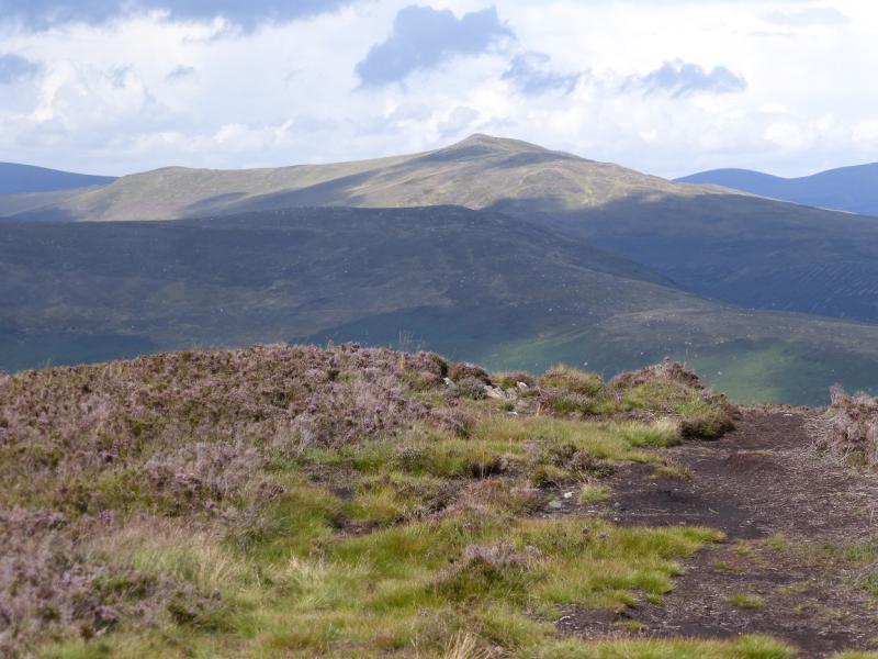
This is a pleasant ridge walk with some peaty and boggy sections. Views are good and include the Mullaghcleevaun range, Djouce Mountain, Tonelagee, Turlough Hill (pump storage reservoir) and Ludnaquilla.Navigation in mist would be a little taxing and the bogs would be harder to avoid. You should be able to easily reset your GPS to the Irish National Grid System.
Route
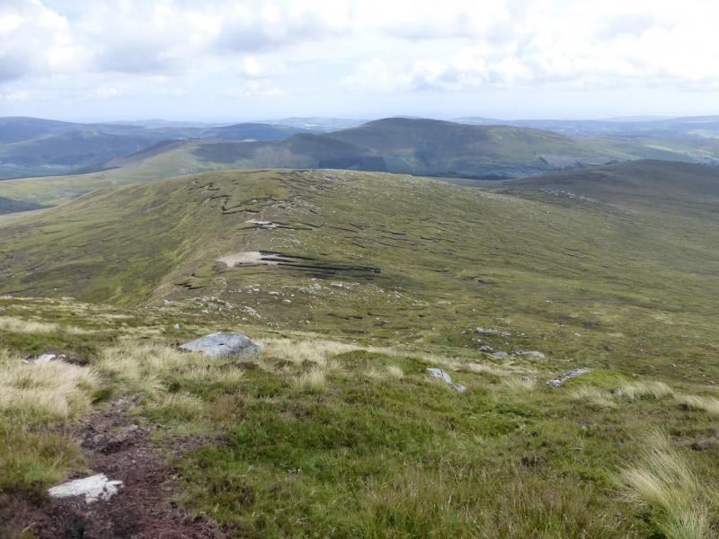
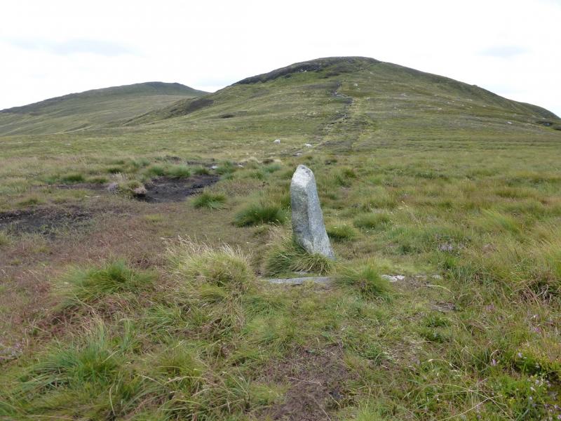
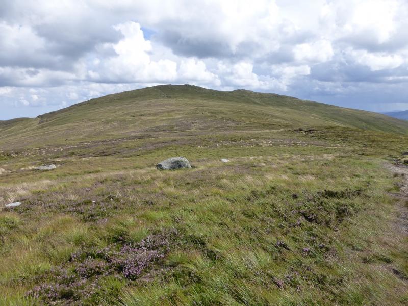
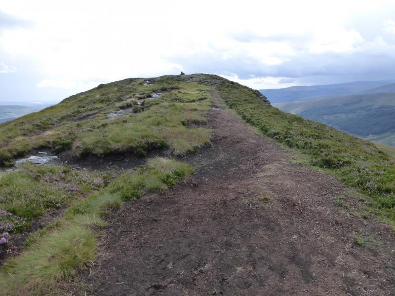
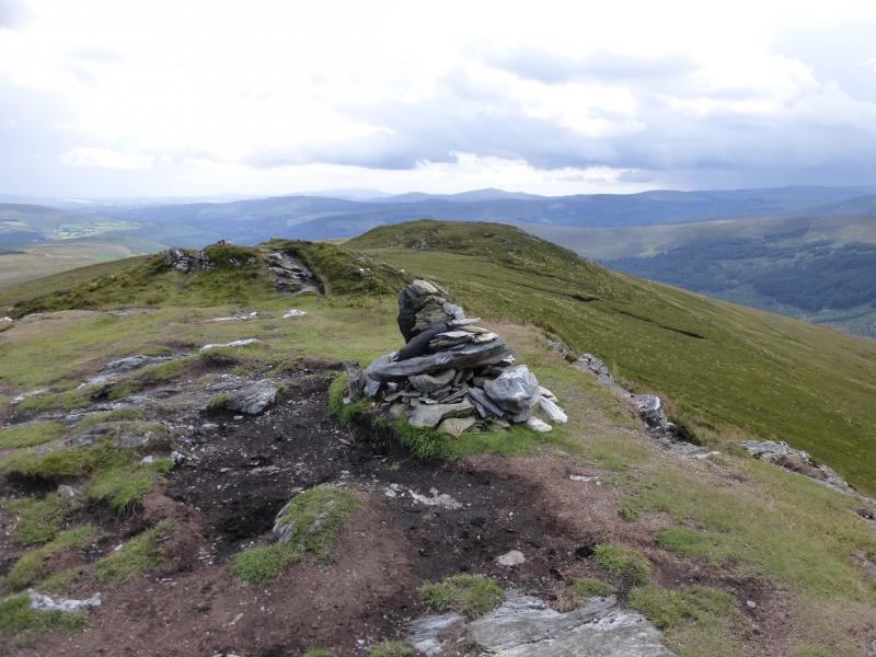
(1) From the car park, walk about 30 m up the road to where a path starts. On the opposite side to the car park. Follow this path up then on a gently rising traverse, roughly SE, to reach the crest of the ridge just before a sharp and narrow standing stone. Continue on the path over top 561 which is little more than a shoulder before a steeper section leads up on to the summit crest at its N end where there is a cairn. Go S along the summit crest to reach a medium cairn which is the summit of Scarr, 641 m.
(2) Retrace the outward route.
Notes
(a) This walk took place on 9th August, 2014.
(b) There is an excellent camping and caravan site, in the village of Donard, called Moat Farm. It has beautiful landscaped grounds, including a stone circle (!) and is very well laid out with free hot showers. There is a large campers’ kitchen with tables and sinks but bring your own cooking equipment and pans. There is a fridge and freezer. There is also a sitting room with a TV. The owner and staff are very welcoming, very friendly and very helpful. You would be hard pressed to find a nicer site. Donard is about 4 miles from the Glen of Imaal stores (where you can buy a sandwich). Donard is signposted off the N 81 main road between Blessington and Baltinglass. More about Moat Farm in its own section!
Photos - Hover over photo for caption. Click on to enlarge. Click on again to reduce.