Get Lost Mountaineering
You are here: Scotland » 02 River Tay to Rannoch Moor » Glen Lochay Hills
Creag Mhor & Beinn Heasganich
Creag Mhor & Beinn Heasgarnich from Glen Lochay
Start/Finish
Drive up Glen Lochay from Killin to Kenknock then take private road (usually open) which goes over to Glen Lyon. This is marked as a track on the map and has a few pot holes which need to be crossed at low speed. In recent years, this track has deteriorated and, in 2010, was in danger of being closed. Park where a track goes off to the left at about NN 461 370.
Distance/Time
22 km About 9 hours
Peaks
Stob nan Clach, 956 m, NN 387 351.
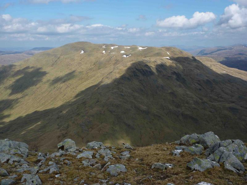
Creag Mhor, 1047 m, NN 391 361.
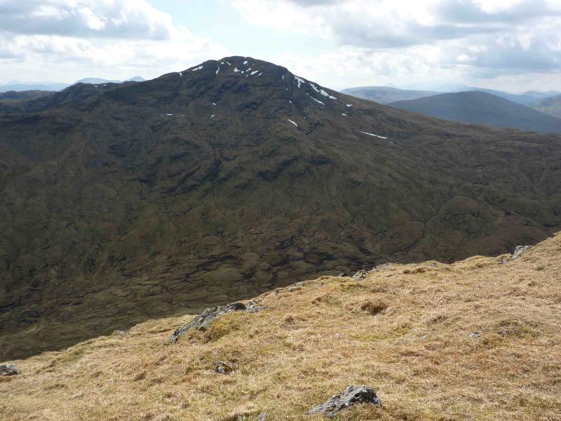
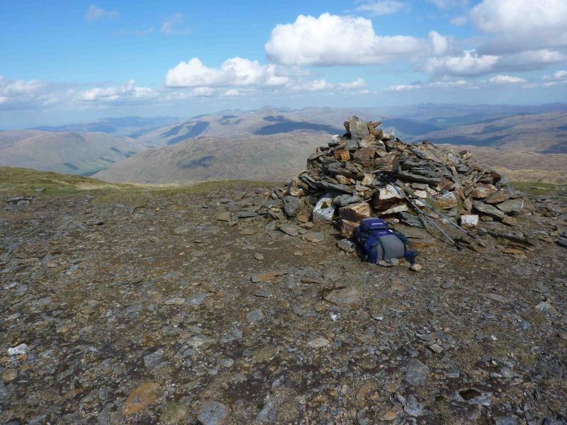
Beinn Heasgarnich, 1078 m, NN 413 383. OS Sheets 50 & 51.
Introduction
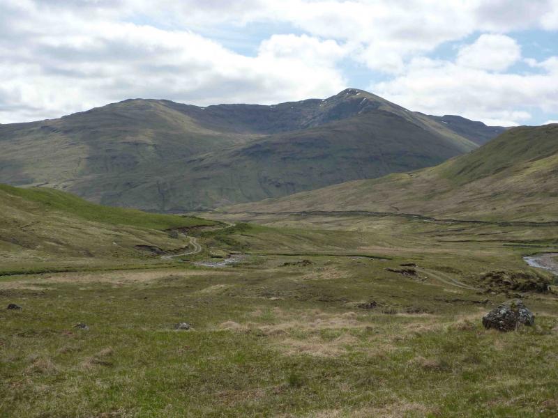
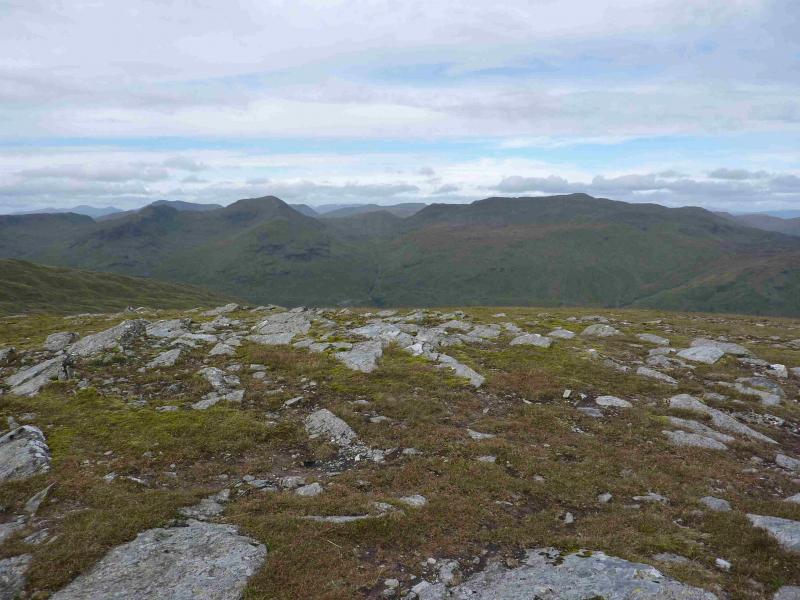
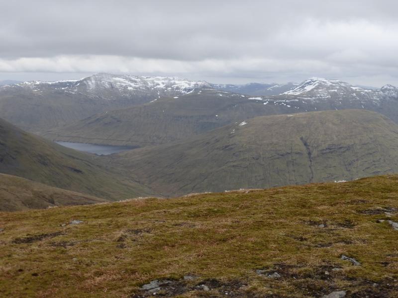
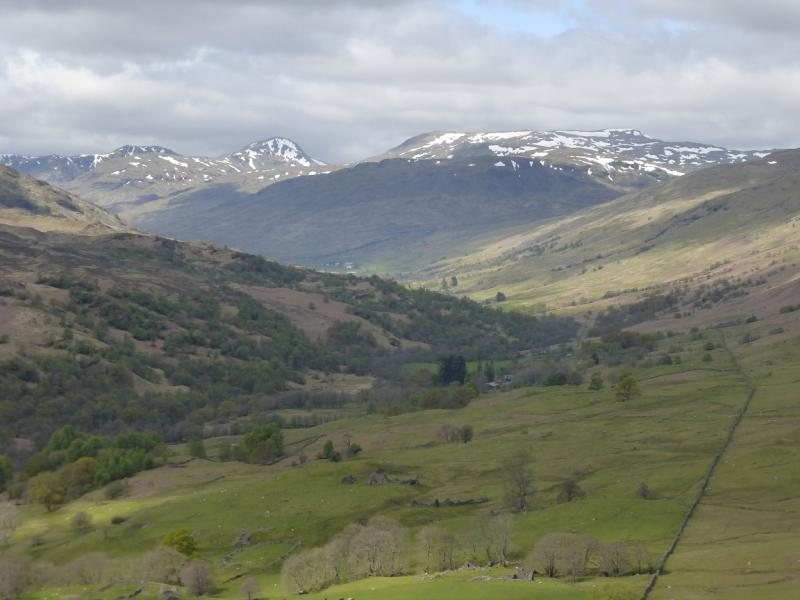
This is a tough walk with a lot of pathless terrain and some steep slopes. Navigation would be quite testing in mist. Nevertheless there are fine views in all directions including the Ben Lawers range, the other Glen Lochay hills, the Crianlarich hills and the Bridge of Orchy hills.
Route
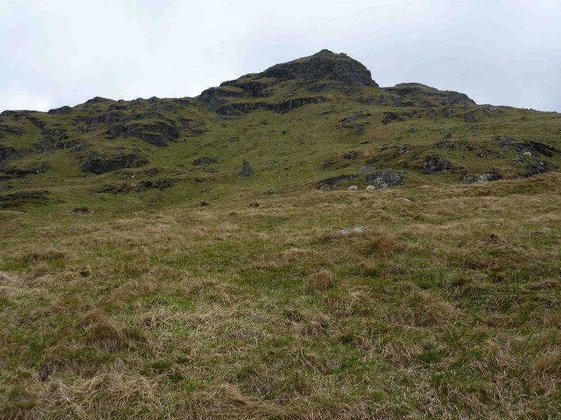
(1) Walk W along the track for about 7 km until the Allt Cheathaich is crossed. Leave the track at any suitable point and start ascending the pathless terrain NW on mainly grassy slopes. You are aiming for the SE ridge of Stob nan Clach which is well guarded by crags so outflank these by going to their left (SW) then ascending steep grassy pathless slopes to reach the ridge crest. A path can now be followed over easier ground to the medium summit cairn of Stob nan Clach, 956 m.
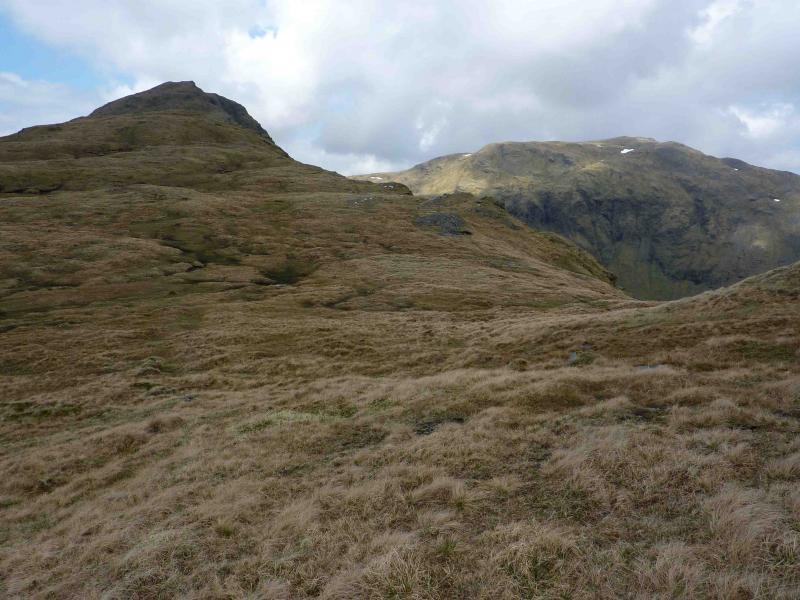
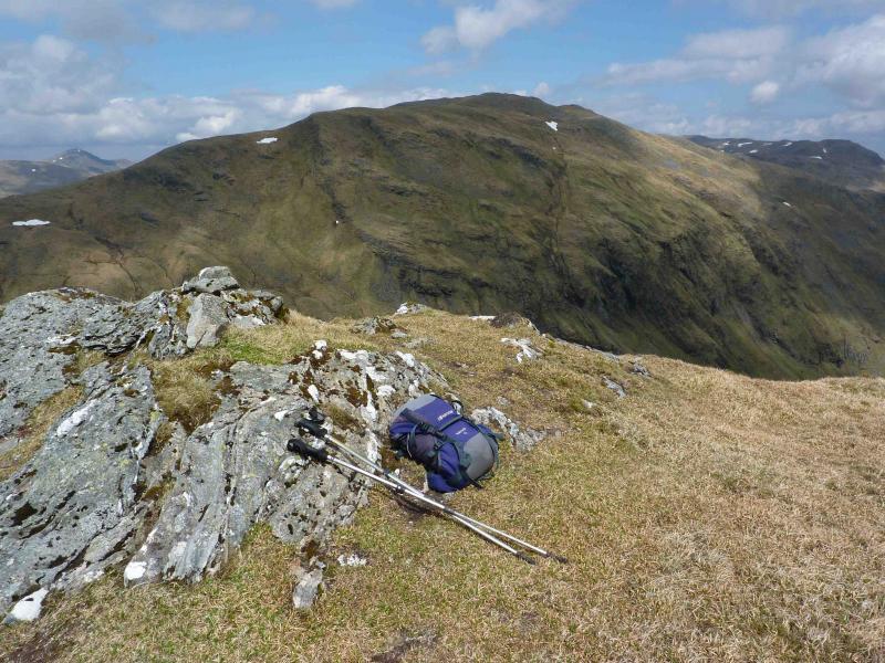
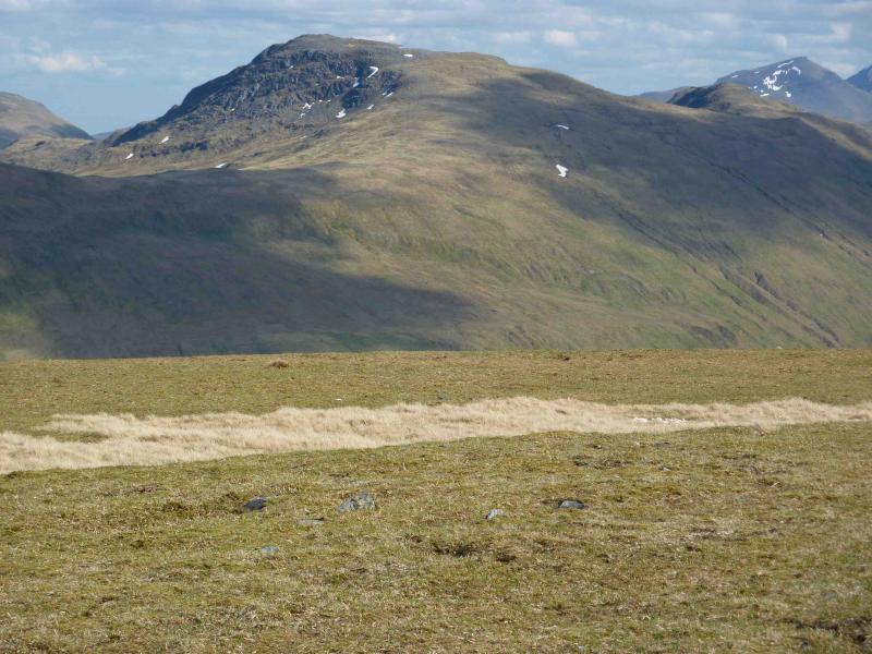
(2) Descend NW along the obvious crest, on a path, which gradually curves right, towards NE, around the rim of Coire-cheathaich to reach a shallow bealach. Continue around the rim, still on a path to reach the flat summit area where a large cairn marks the summit of Creag Mhor, 1047 m.
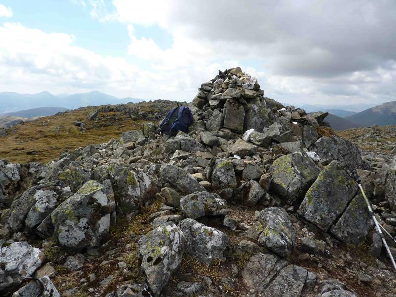
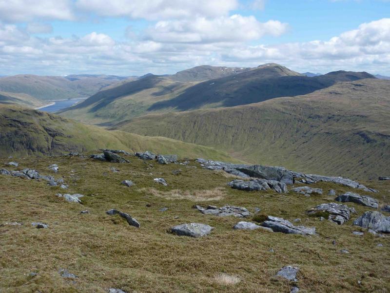
(3) Descend N/NW on a path which leads from the summit on grassy slopes above the boulder fields then turn N down grassy slopes towards the bealach below Meall Tionail. At, or before, the bealach, turn ESE down mainly grassy slopes to a large, open, ill-defined bealach in which there are a few peat hags. From the bealach head NE up steepish grassy slopes. There is a path but it can be difficult to locate from the bealach so trend left aiming for the obvious ridge and you should meet the distinctive path. The path can then be followed, with various meanderings, up on to the start of the long summit ridge of Beinn Heasgarnich. Follow the path along the long ridge which might be confusing in mist. The path gradually swings N to reach the large summit cairn of Beinn Heasgarnich, 1078 m.
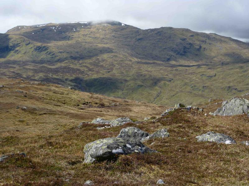
(4) There are two sensible ways back to the start. Option 1 is to descend SE to the small lochan at NN 415 382, follow the burn back to the private road, where a bicycle could be left, then follow the road back to the start. Option 2 is to descend roughly SSE and follow a burn down to the outward track above Badour then walk back along the track.
Notes
(a) This walk took place on 25th October, 1994, 11th August, 2006 and 22nd May, 2010.
(b) The track is good enough to cycle along and using a bicycle can save about 10 km of walking on option 2. For option 1, a bicycle could be left at the top of the private road allowing one to “freewheel” most of the way back to the start.
Photos - Hover over photo for caption. Click on to enlarge. Click on again to reduce.