Get Lost Mountaineering
You are here: Ireland » East » Wicklow Mountains
Scarr from Oldbridge
Scarr from Oldbridge
Start/Finish
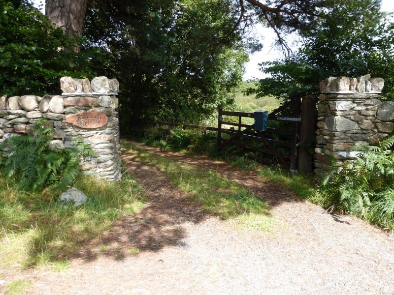
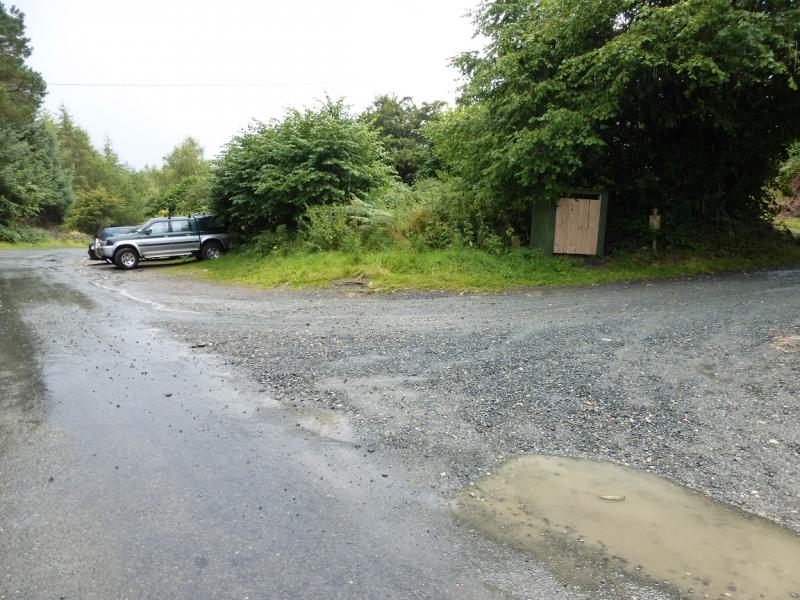
From Laragh, take the minor road north between the R115 Sally Gap road and the R755 Roundwood road. Drive up this road for about 3 miles/5 km and take the left turn for Lough Dan. Park on the wide verge/gravel on the left of the road just before a lane opposite Avonmore Cottage. Warning: The official car parks in this area have warning signs about cars being broken into so do not leave anything of any value in your car and especially on view as you may come back to broken windows.
Distance/Time
10 km. About 3 – 4 hours
Peaks
Scarr, 641 m, O 013 018. (Irish National Grid System)
Irish OS Discovery Series Map 56 (1:50000)
Introduction
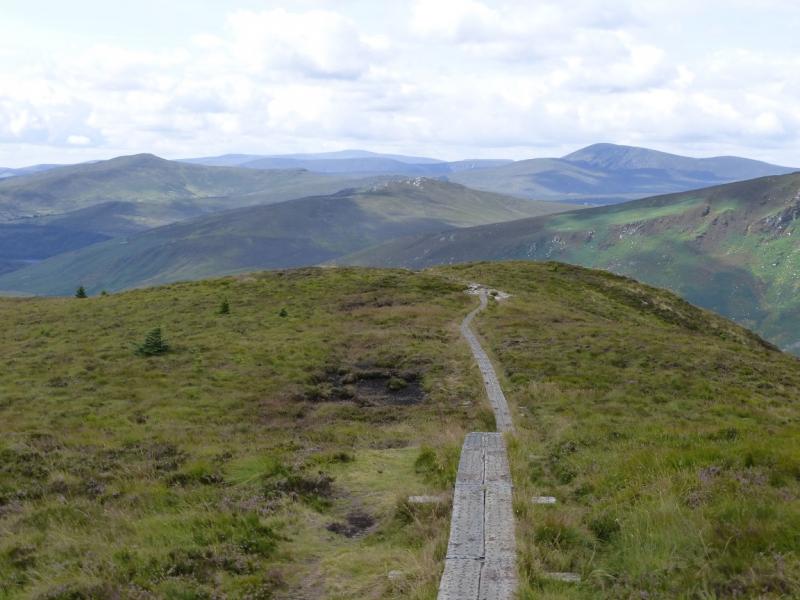
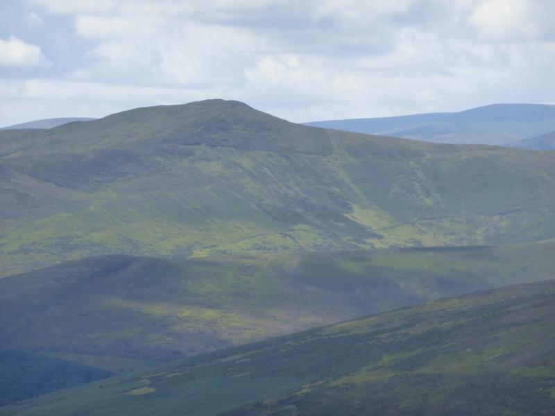
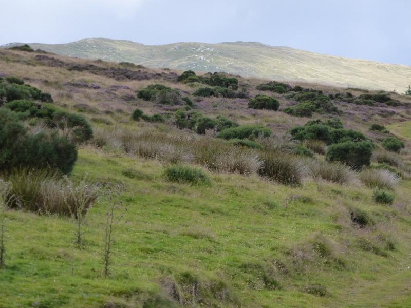
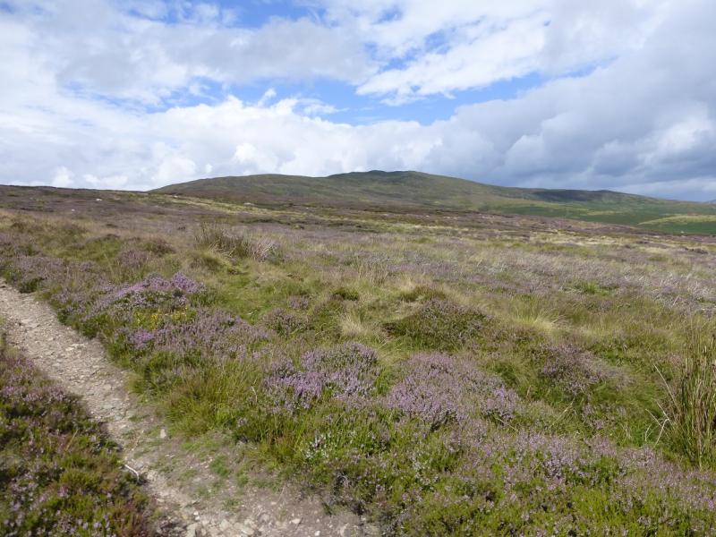
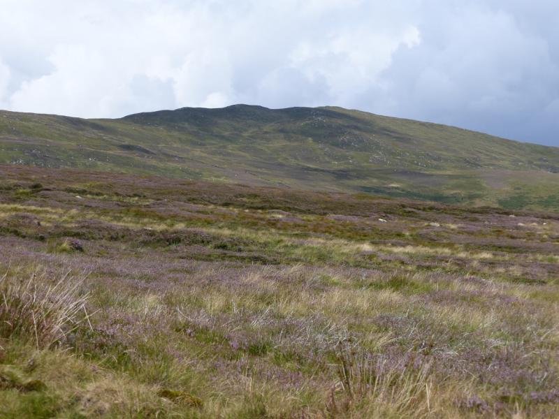
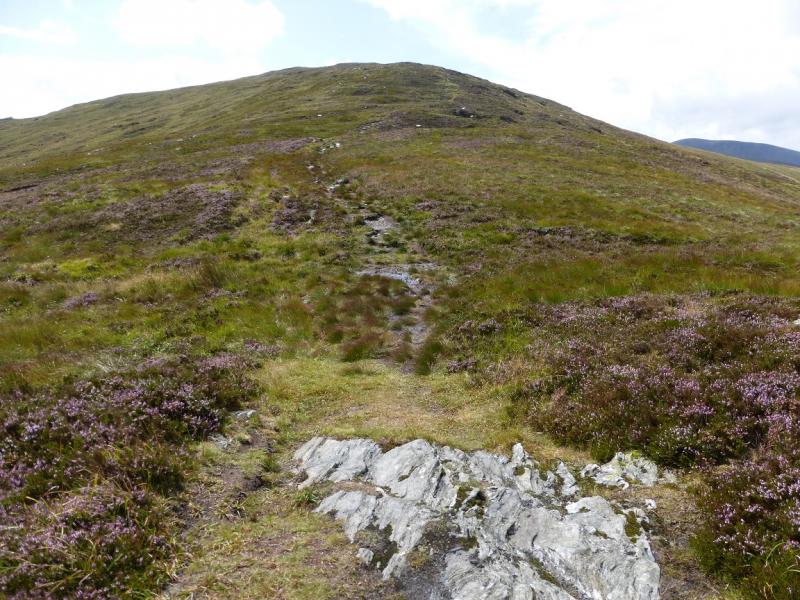
Once off the road and Wicklow Way this is a pleasant ridge walk with only a few peaty and boggy sections. Views are good and include the Mullaghcleevaun range, Djouce Mountain, Tonelagee, Turlough Hill (pump storage reservoir) and Ludnaquilla.Navigation in mist would be a little taxing. Some on road walking is unavoidable so this is got out of the way at the start of the walk. You should be able to easily reset your GPS to the Irish National Grid System.
Route
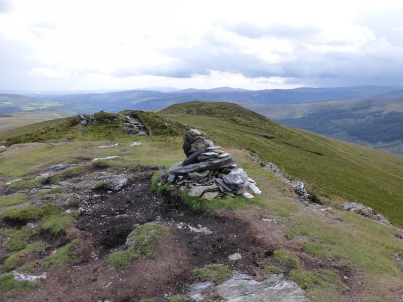
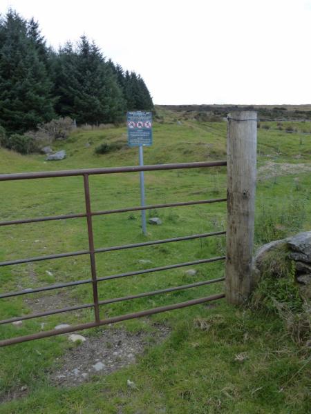
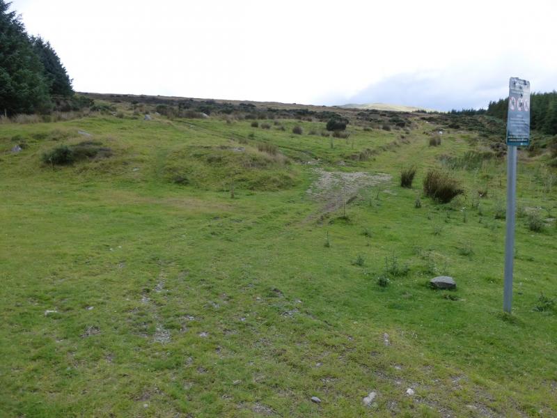
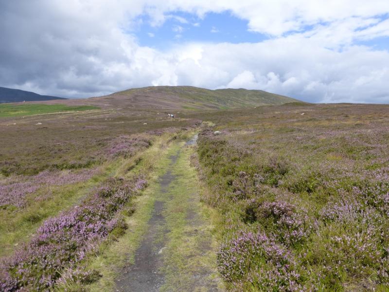
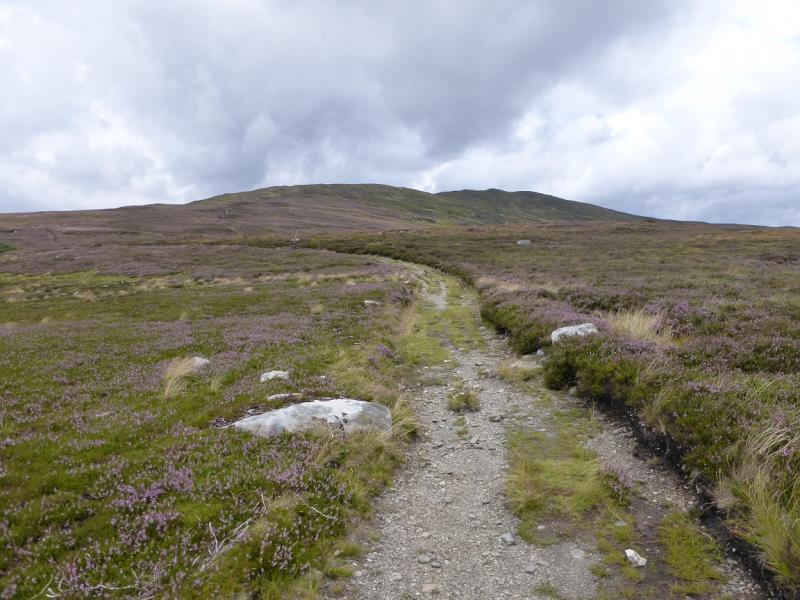
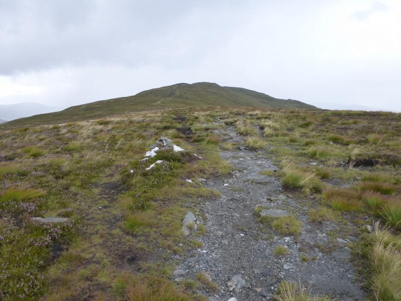
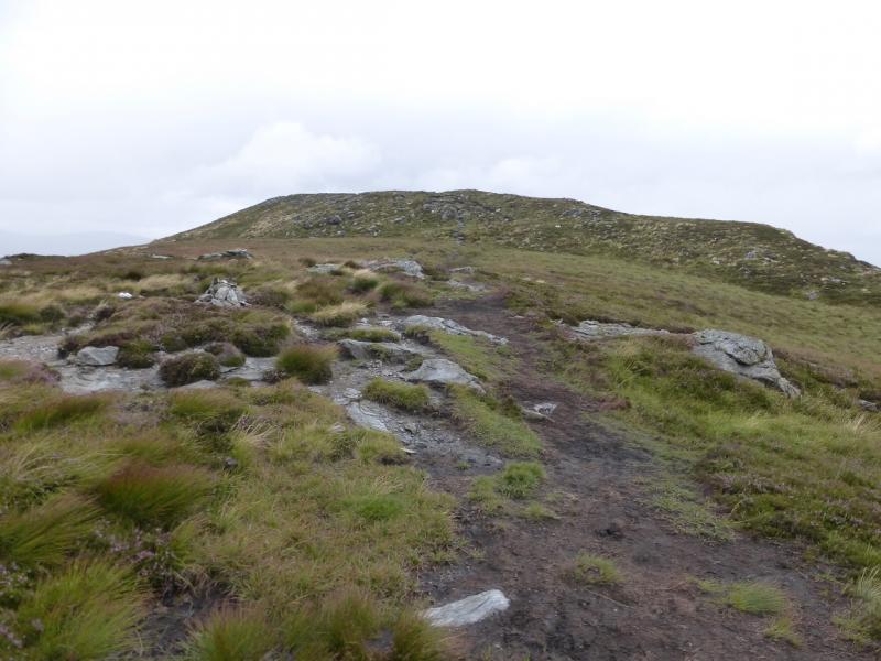
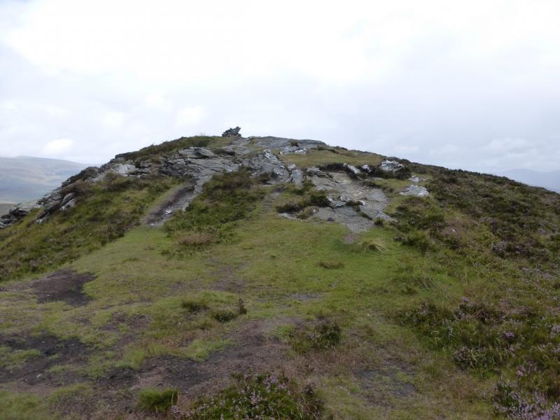
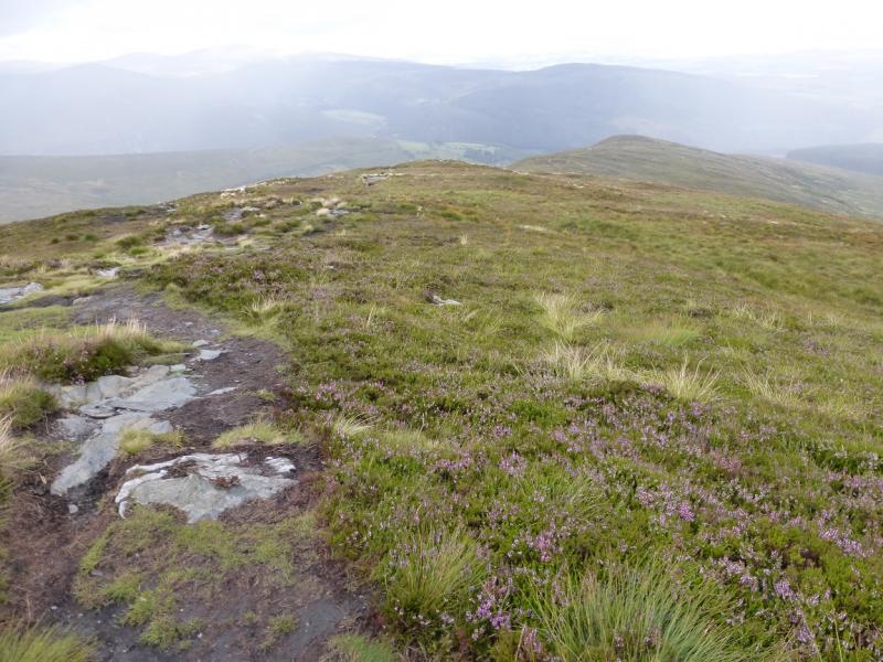
(1) From the car parking verge, walk back up the road for about 2 km to where the Wicklow Way (signed) goes right up a lane. Follow this on a track for about 1 km to reach an old iron gate with a notice on the other side. This is between the corners of two woods. Go through the gate. The Wicklow Way goes left. Go straight ahead up the side of the wood on a rough track. Follow this just past its highest point where it joins a better track coming from the S. Follow this track, which later becomes a path, for about 2 km, all the way to the medium cairn which is the summit of Scarr, 641 m. A cairn on a shoulder is passed before the summit.
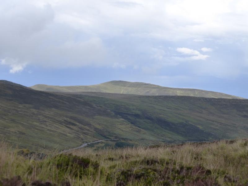
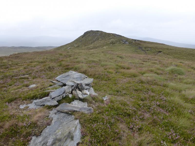
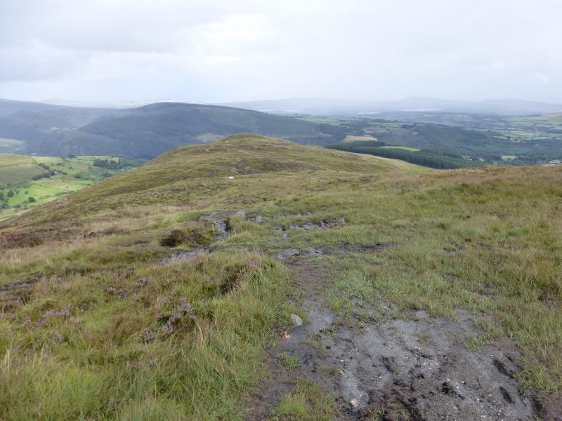
(2) Continue beyond the summit and soon reach a smaller cairn where the ridge splits. Descend ENE down a fairly obvious path. Follow the ridge all the way down to the left hand corner of a wood enjoying views of Lough Dan and Djouce Mountain beyond. The easiest way back from here is to follow the edge of the wood S to its SW corner to meet a track which becomes a lane and leads down to the lane by the start. Alternatively, go down the N edge of the wood, on a track. When the track swings left, it can be followed down to a lane which leads to the road by Lough Dan where one turns right for the start. This alternative has not been checked out so there may be access problems although this seems unlikely in this area. The last alternative is to continue ahead when the track swings left and follow a path down to dense forestry. The path goes over a rough stile then traverses roughly S to meet an old wall which it follows for a short distance before going straight downhill to meet the road at its public end. In summer, this path is overgrown with ferns and some brambles and most will find it unpleasant especially after a shower when the ferns are wet.
Notes
(a) This walk took place on 12th August, 2014.
(b) There is an excellent camping and caravan site, in the village of Donard, called Moat Farm. It has beautiful landscaped grounds, including a stone circle (!) and is very well laid out with free hot showers. There is a large campers’ kitchen with tables and sinks but bring your own cooking equipment and pans. There is a fridge and freezer. There is also a sitting room with a TV. The owner and staff are very welcoming, very friendly and very helpful. You would be hard pressed to find a nicer site. Donard is about 4 miles from the Glen of Imaal stores (where you can buy a sandwich). Donard is signposted off the N 81 main road between Blessington and Baltinglass. More about Moat Farm in its own section!
Photos - Hover over photo for caption. Click on to enlarge. Click on again to reduce.