Get Lost Mountaineering
You are here: Scotland » 03 North-west Argyll, Appin and Glencoe » Blackmount & East of Glen Etive
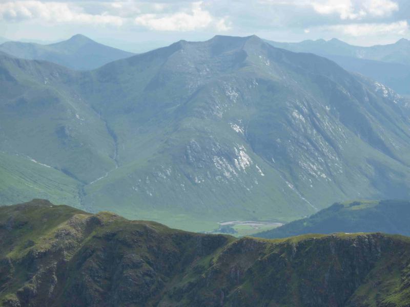
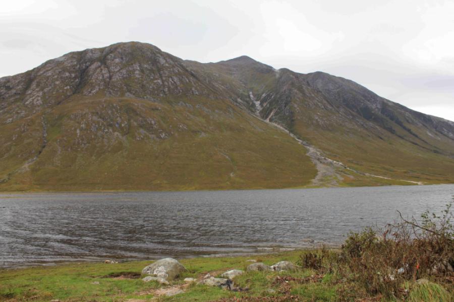
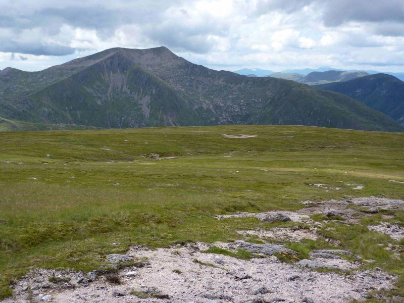
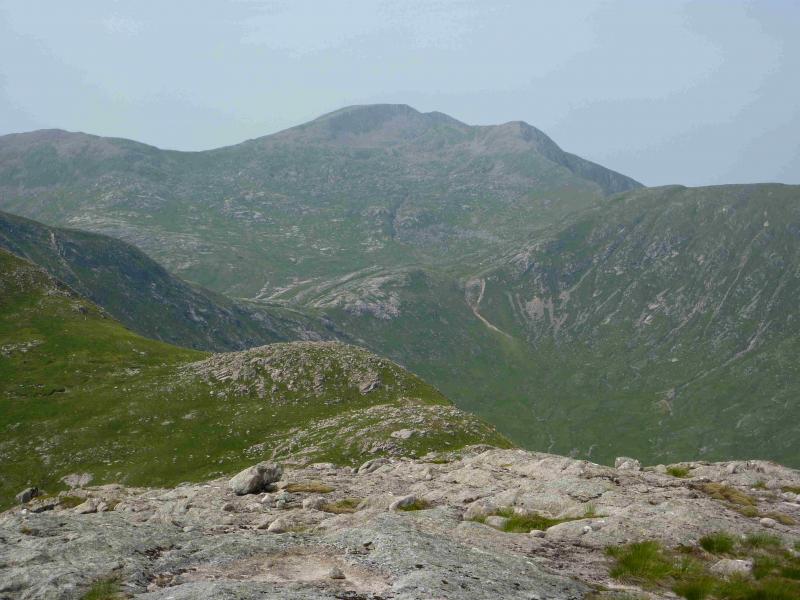
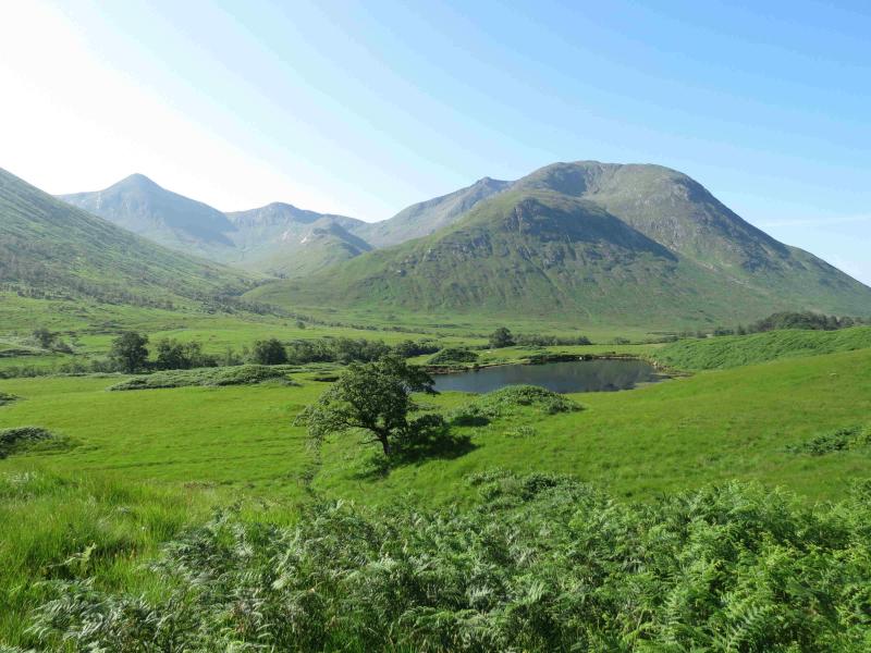
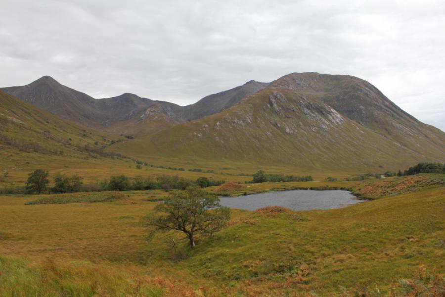
Ben Starav from lower Glen Etive
Ben Starav from lower Glen Etive
Start/Finish
Small “car park” (holds about 4 cars) at about NN 137 468 in lower Glen Etive. This is just before the track which cuts back down to the River Etive to Coiletin and about 2 miles before Loch Etive.
Distance/Time
15 km. About 7 hours
Peaks
Ben Starav, 1078 m, NN 125 427.
Stob Coire Dheirg, 1028 m, NN 131 426. OS Sheet 50.
Introduction
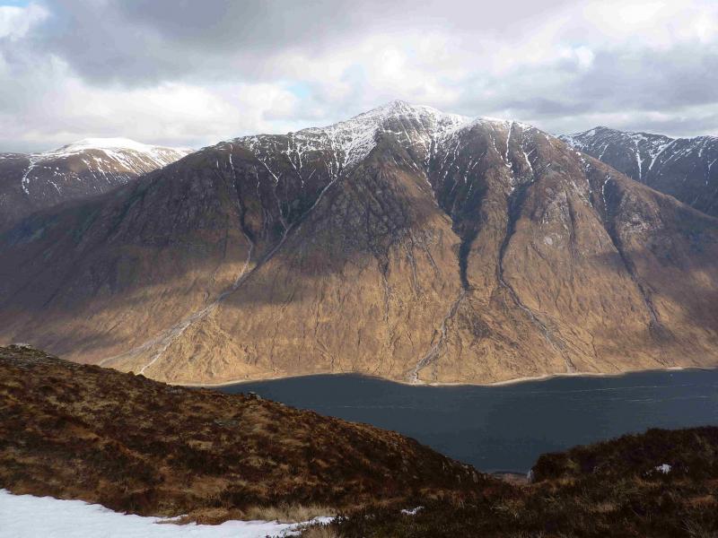
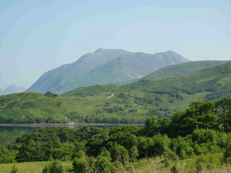
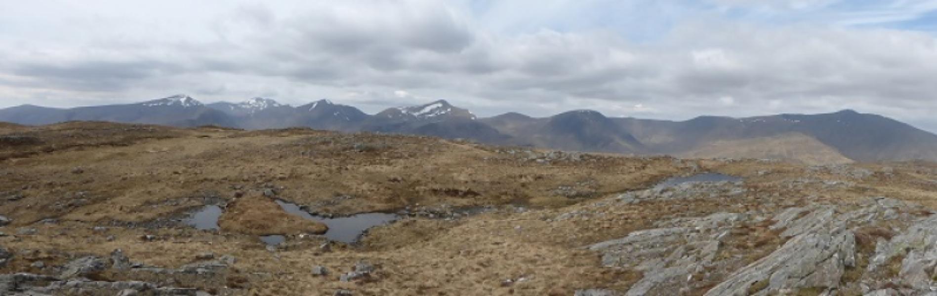
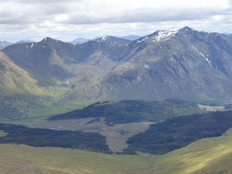
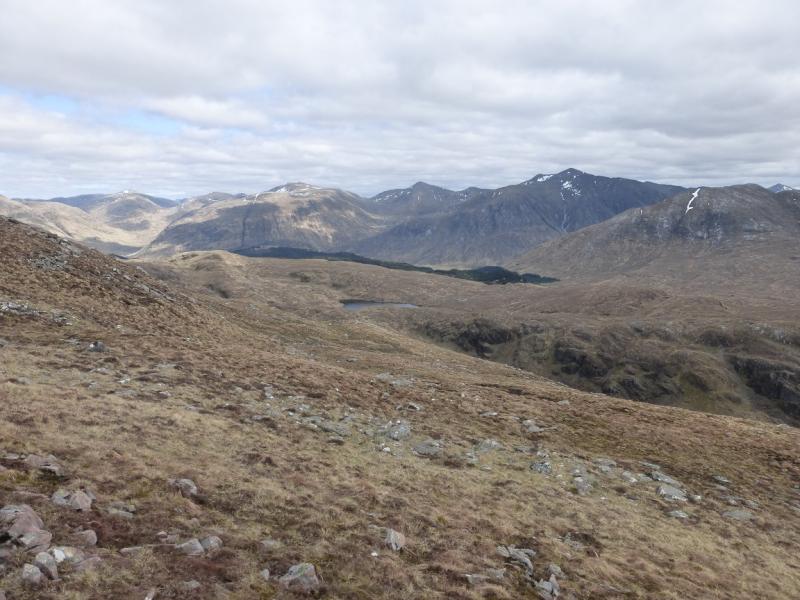
This is a very strenuous ascent up the north ridge of Ben Starav with lots of rough and boggy ground. It can be especially boggy lower down and in the glen. On a clear day, the views are as good as they get with all the Glencoe and Blackmount peaks visible plus Ben Nevis and Ben Cruachan. Many people also include Glas Bheinn Mhor which adds about 7 km and 2- 3 hours. This walk has been posted separately.
Route
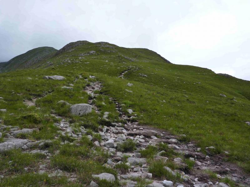
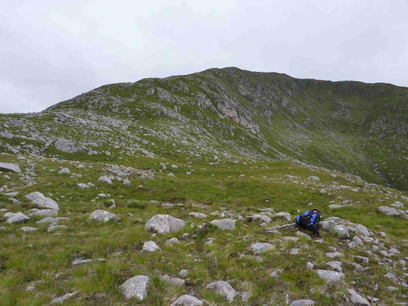
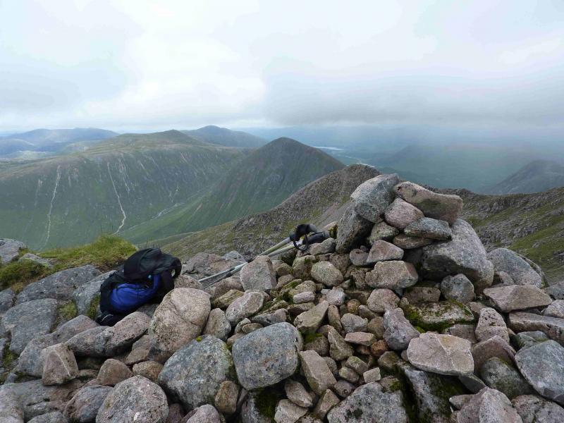
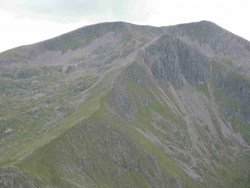
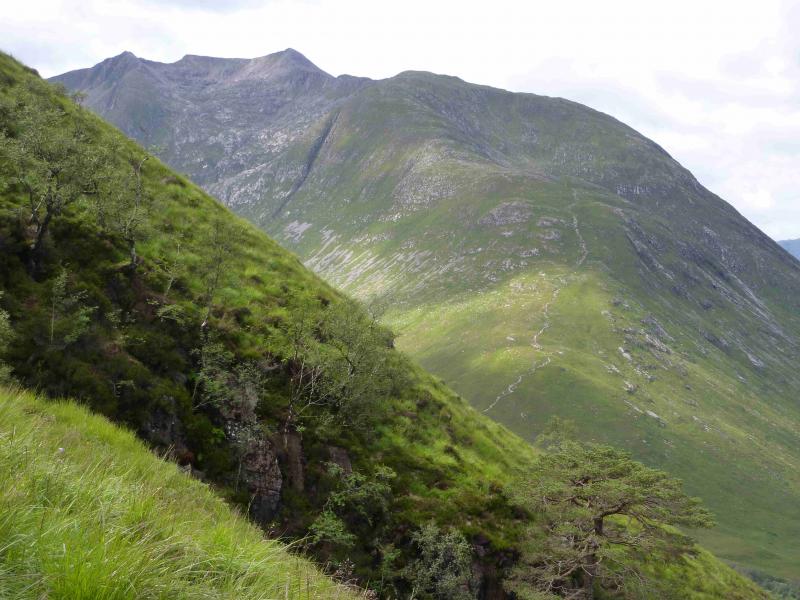
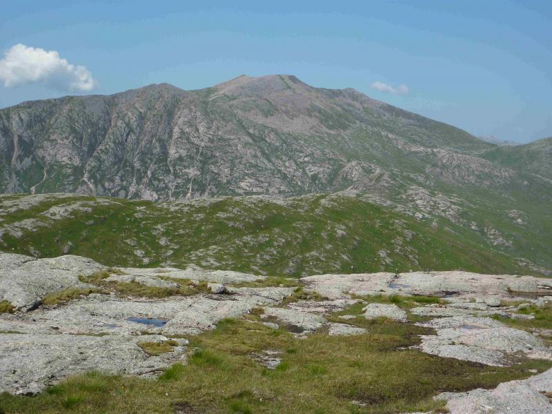
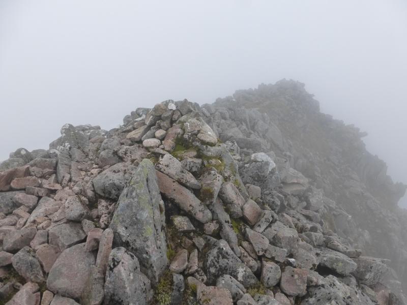
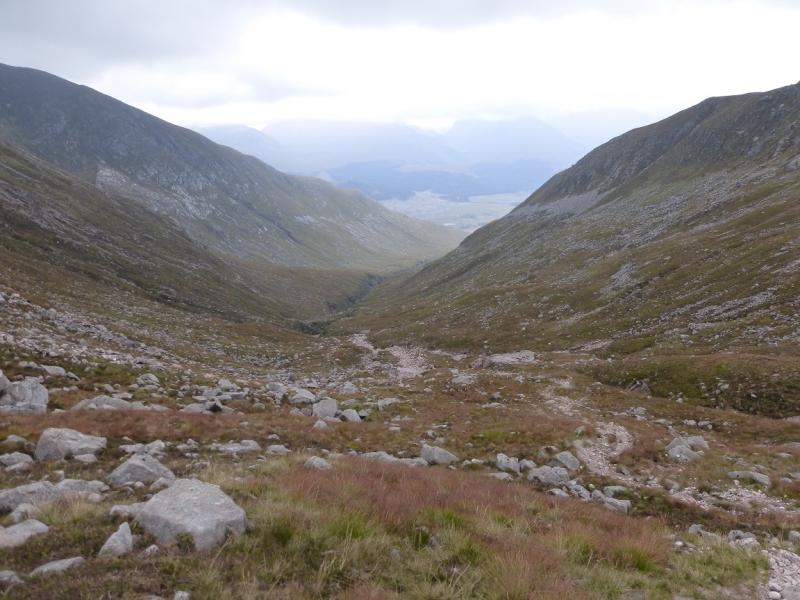
(1) From the car park, walk about 50 m towards Loch Etive then take the track down to the bridge over the River Etive. Continue across the bridge, ignoring the left turn, to reach the boundary of the renovated, and now inhabited, cottage at Coiletin. Walkers are now directed around the boundary fence which is quite wet and boggy in places. Once back on the proper path (no longer a track), follow this to the bridge over the Allt Mheuran, ignoring the path going off left after Coiletin, and walk up the boggy path on the opposite bank. The most distinct path goes over the N ridge of Ben Starav and follows the Allt nam Meirleach. It is easy to miss the path going up the N ridge of Ben Starav but once located it is quite distinct and climbs the N ridge. A few shoulders ease the grind of the long ascent. The last 100 m go through a boulder field and the path becomes intermittent before emerging on to the plateau where there is a medium cairn and the remains of a circular trig point which is the summit of Ben Starav, 1078 m.
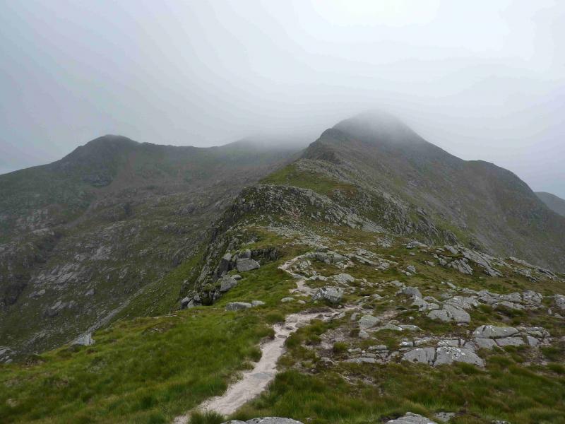
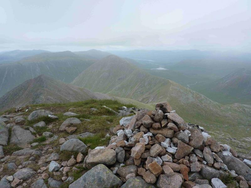
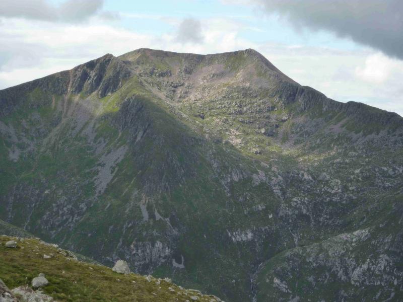
(2) Walk SE along the rim of the plateau to another cairn then descend the narrow ridge going ENE. There is quite a distinctive path. The crest undulates a little and is bouldery in places but can be avoided by a path on the right. Soon the ridge climbs and on the rocky crest is a small cairn which is the summit of Stob Coire Dheirg, 1028 m. It is the only cairn on this ridge after Ben Starav is left.
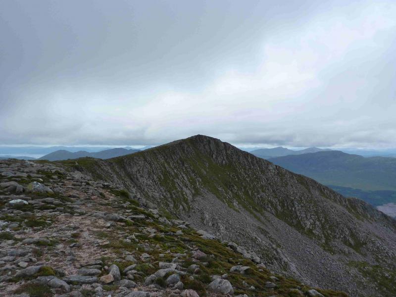
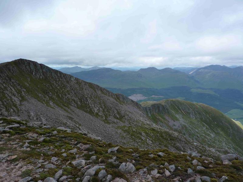
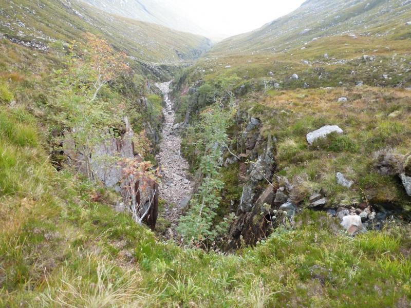
(3) Continue descending along the ridge which goes E then SE, with a good path. The ground becomes less rocky as height is lost. After about 1 km, the bealach (no cairn) is reached with an obvious path descending left, N, to the Allt nam Meirleach. Do not be tempted by any other “path” before the bealach. Follow this path down; it is well defined. At one point it passes to the left of a gorge, not on the 1989 map, and is quite exposed. Continue down and eventually reach the outward route at the foot of the N ridge of Ben Starav.
Notes
(a) This walk took place on 18th September, 2014..
Photos - Hover over photo for caption. Click on to enlarge. Click on again to reduce.