Get Lost Mountaineering
You are here: Scotland » 04 Loch Leven and Loch Linnhe to Loch Ericht » Mamores to Corrour
Cow Hill, by easy tracks, from Braveheart Car Park in Glen Nevis
Cow Hill, by easy tracks, from Braveheart Car Park in Glen Nevis
Start/Finish
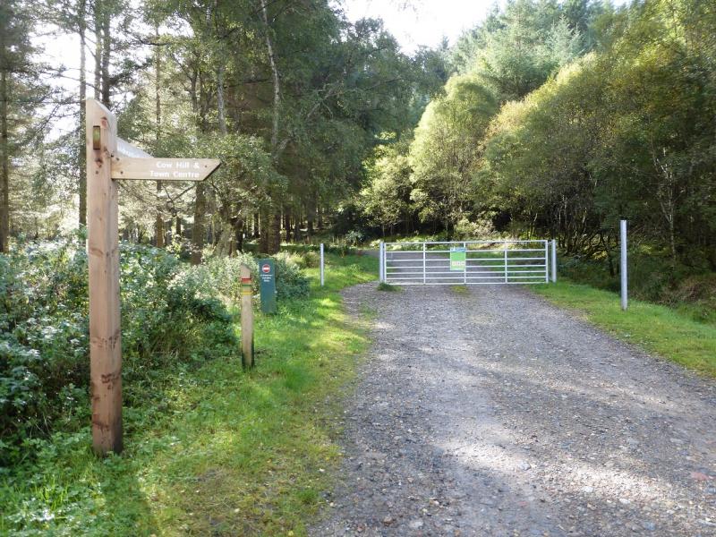
Braveheart car park which is the first car park on the right down Glen Nevis. From the railway station in Fort William, follow the A82 north (Inverness) until Glen Nevis is signposted off a roundabout. On 26/9/14, parking was free.
Distance/Time
9 km. About 2 - 3 hours
Peaks
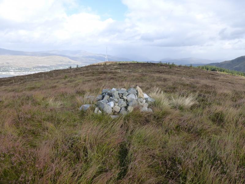
Cow Hill, c 290 m, NN 111 729. OS Sheet 41.
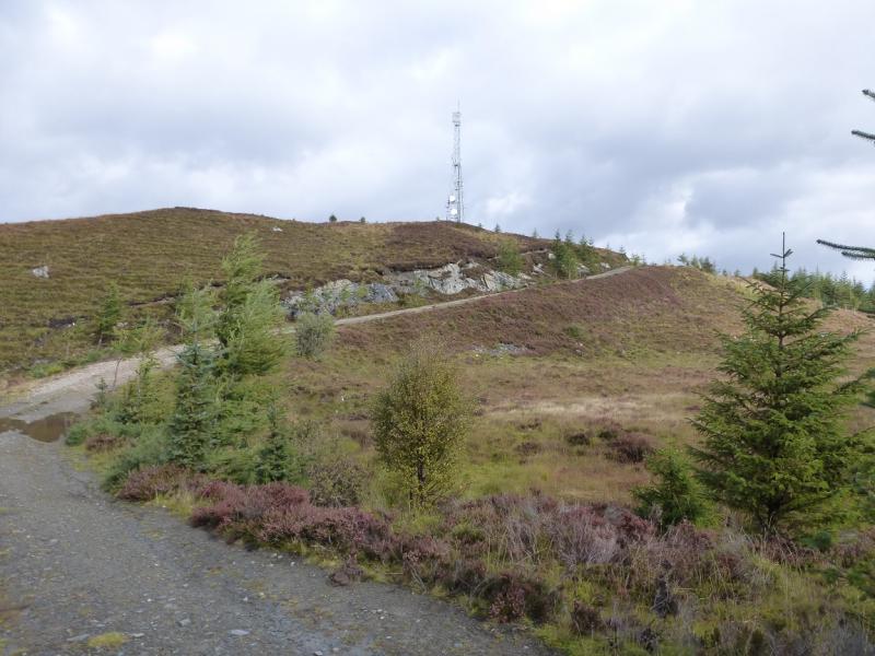
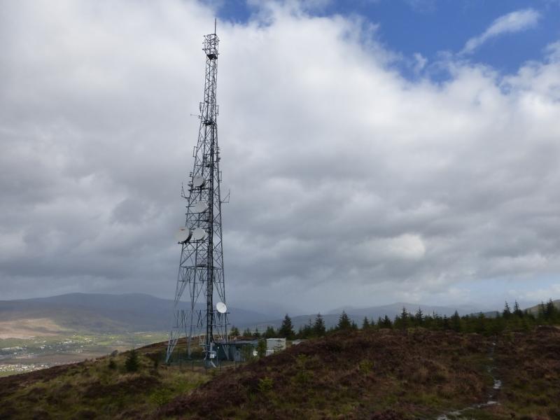
On the 1991 map, Cow Hill is shown slightly further north than this at 287 m. This is the location of the obvious aerial which is clearly lower than the point above to the south.
Introduction
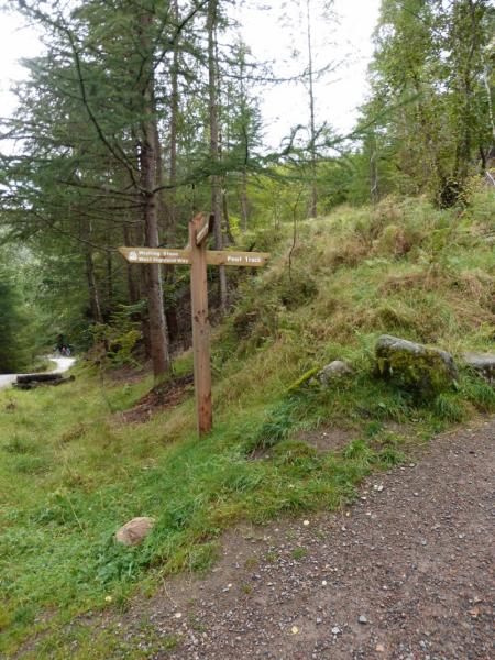
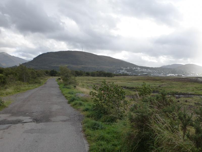
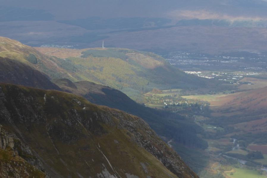
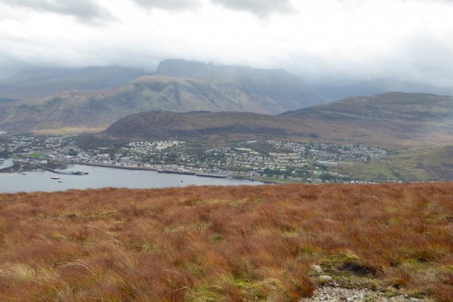
This is a straight forward walk with fine views up Glen Nevis to Meall an t-Suidhe, Ben Nevis, Sgurr a' Mhaim, across Loch Linnhe to Meall an t-Slamain, Stob Coire a' Chearcail and Druim Fada. And many more. Even Beinn a' Bheithir (Ballachulish can be seen). It is an excellent viewpoint. The walk may done in either direction but if reversing the route below, note that the sign up Cow Hill from the bottom track says “Peat Track”.
Route
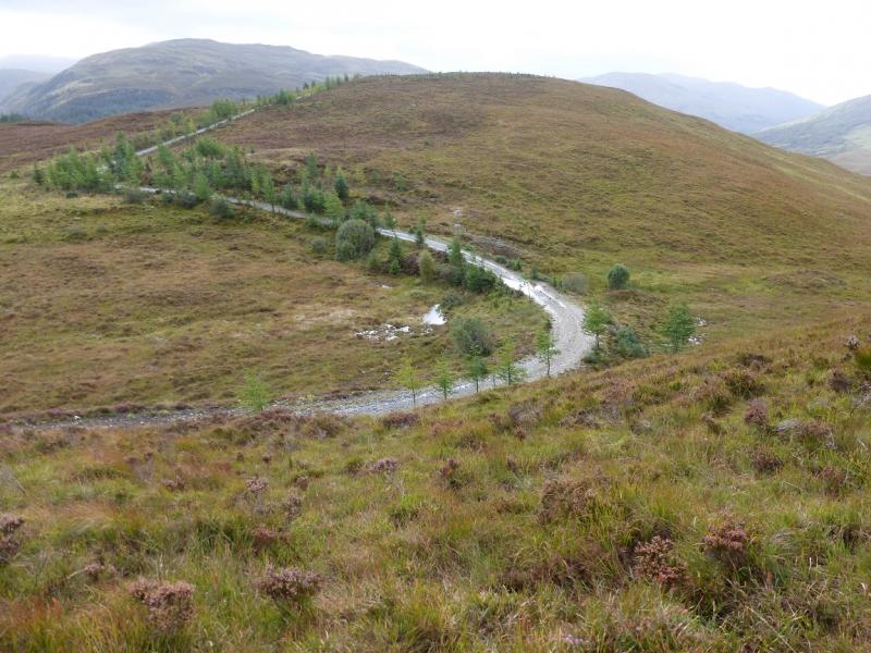
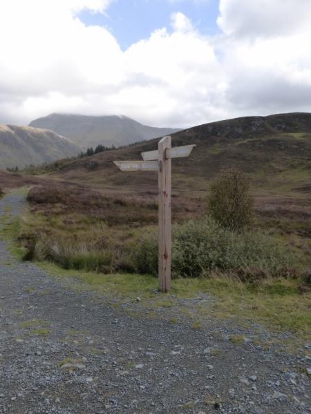
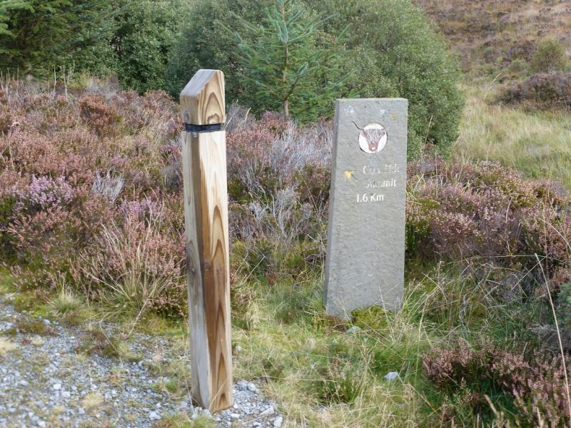
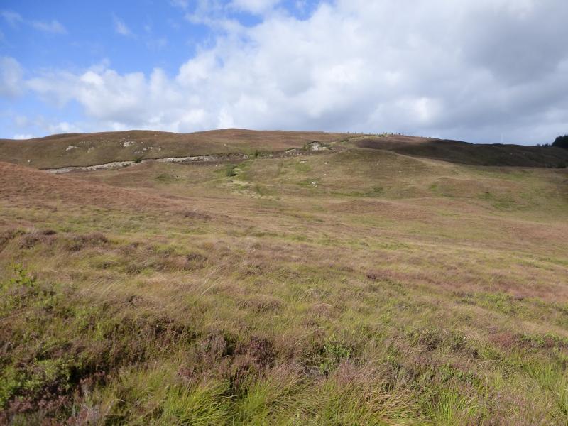
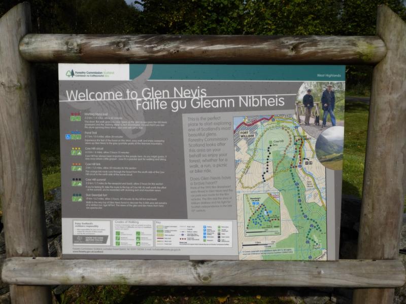
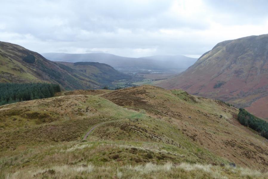
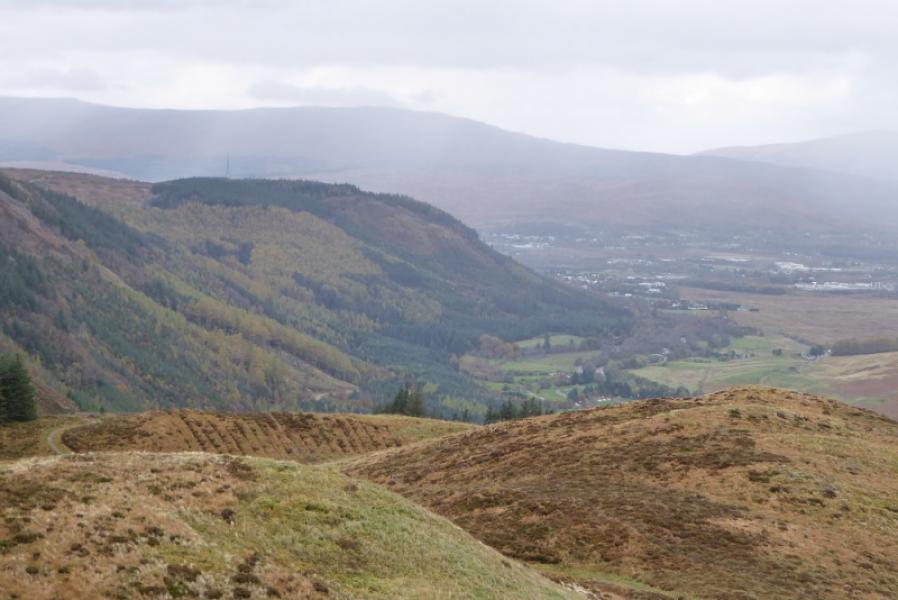
(1) Looking at the information board, there is a path to the left which goes off to the right from where it starts in the car park. Follow this good path which goes around the front of Cow Hill and gives good views across Loch Linnhe. Various sign posts are passed. Follow the signs for Cow Hill Circuit until one is south of the hill when one will reach one which says Cow Hill summit off a track. The direction indicated (good track) actually goes to the aerial not the summit but follow it to the aerial. From the aerial, look back and the area where the actual summit lies is obvious. Return along the track and leave it on a crest. Go right on to the rough ground then turn left, S, and pick a way (no path) to the highest point where a small cairn marks the highest point on Cow Hill, c 290 m.
(2) Return to the track and follow it back to the circuit track. Turn left and follow the path/track down hill. Note that this section of path is called the “Peat Track” and is signed as such when one reaches the bottom track in the glen where one turns left and follows the track back to the start.
Notes
(a) This walk took place on 26th September, 2014.
Photos - Hover over photo for caption. Click on to enlarge. Click on again to reduce.