Get Lost Mountaineering
You are here: Scotland » 02 River Tay to Rannoch Moor » North of Glen Lyon to Pitlochry
Farragon Hill & Meall Tairneachan
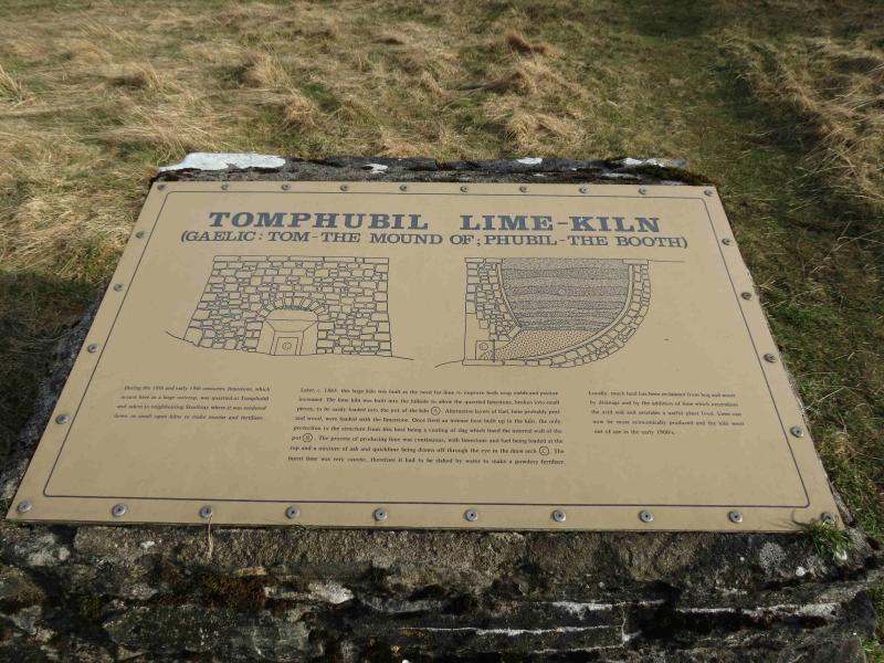
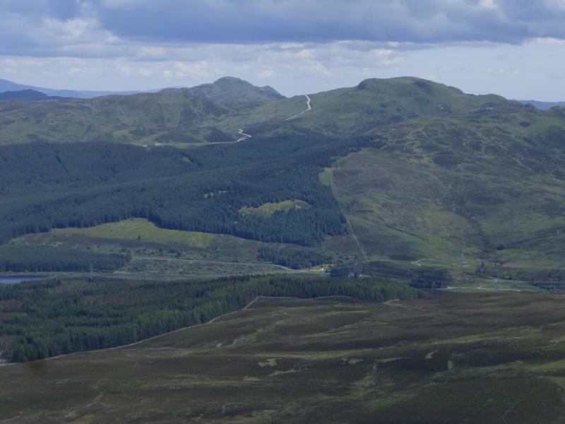
Farragon Hill & Meall Tairneachan from the limekiln on the B846
Start/Finish
From Aberfeldy, take the B846 road towards Tummel Bridge. At about the highest point, just after Schiehallion Road, on the left, there is a public car park by an old limekiln at NN 778 546.
Distance/Time
16 km About 7 hours
Peaks
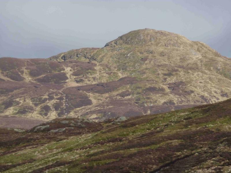
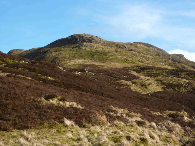
Meall Tairneachan, 787 m, NN 840 553.
Farragon Hill, 787 m, NN 807 543. OS Sheet 52.
Introduction
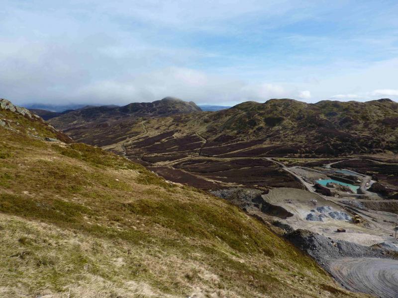
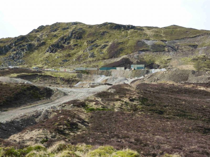
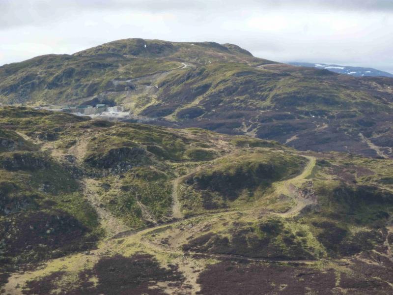
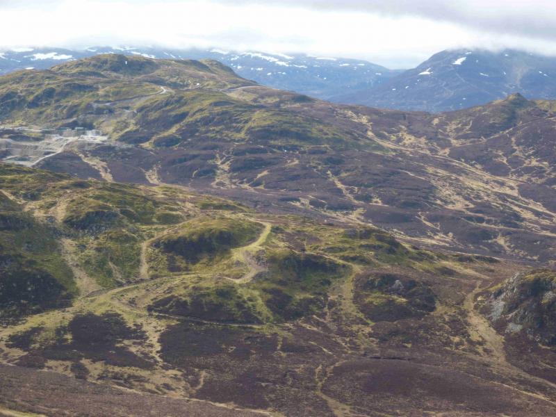
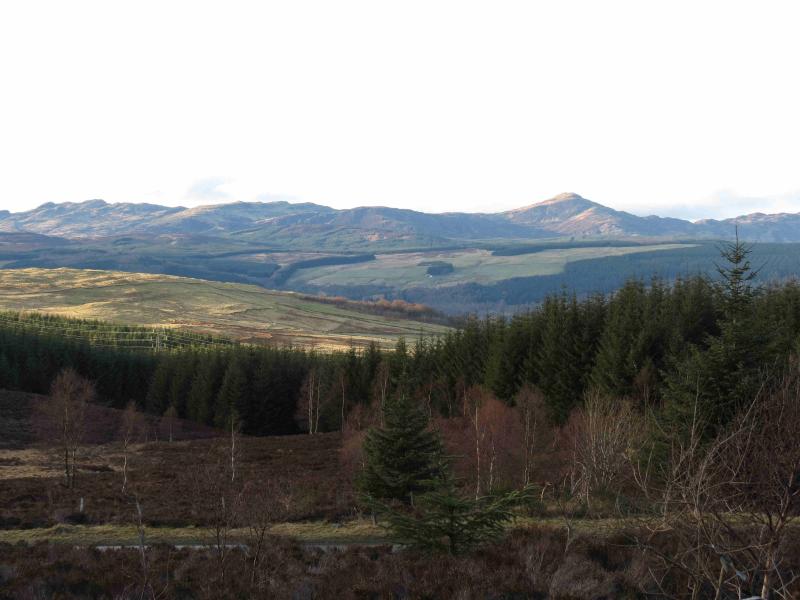
One would expect these two hills, in the shadow of Schiehallion, to be good examples of wild moorland hills. They would be but for a huge barytes mine in their midst with a service road! Farragon Hill is the prominent peak seen when descending into Aberfeldy on the A826 where there are good views of both peaks from the picnic spot near the N end of the huge forest. The track for the mine starts about 2 km N of the limekiln. It is possible to cycle up it but some sections are steep. On a clear day, there are extensive views in all directions but Schiehallion dominates being so close.
Route
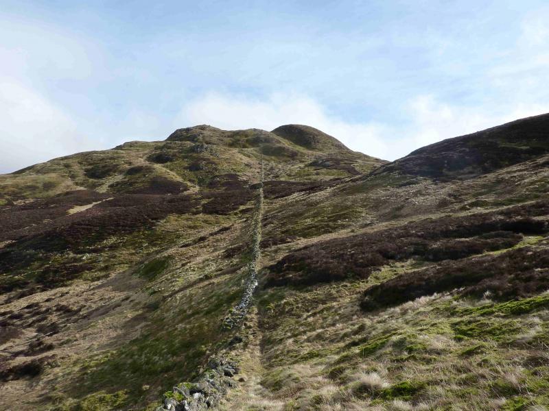
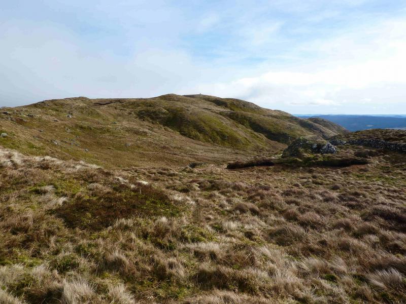
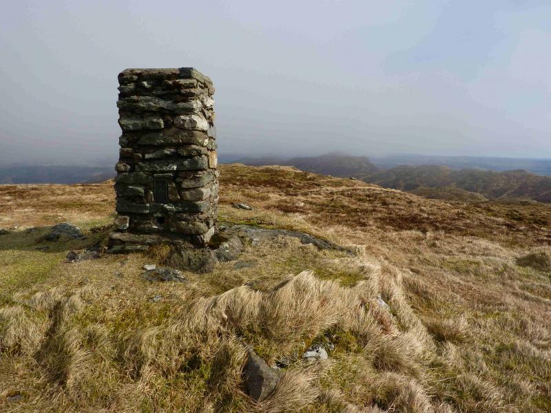
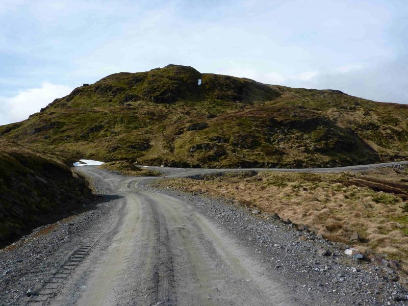
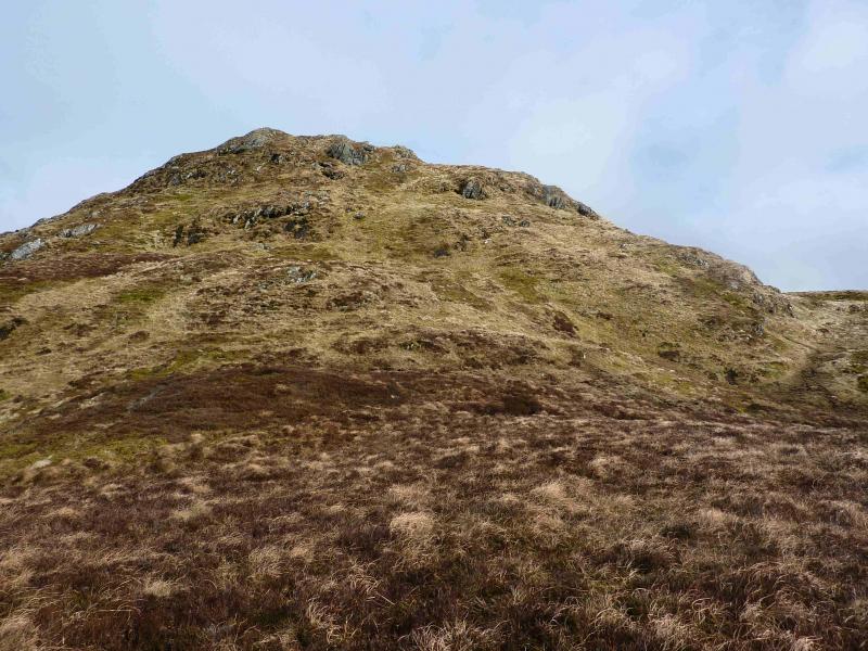
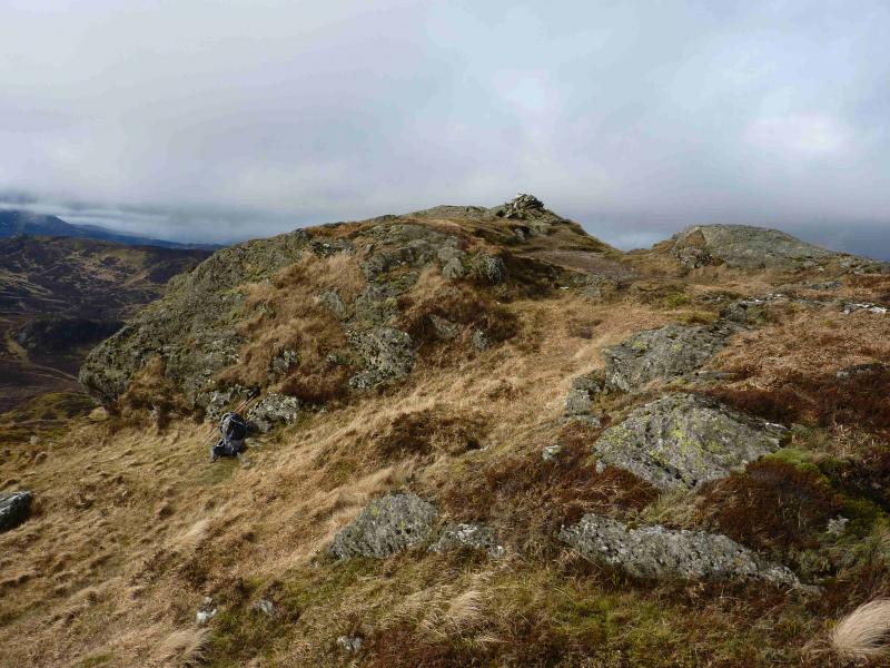
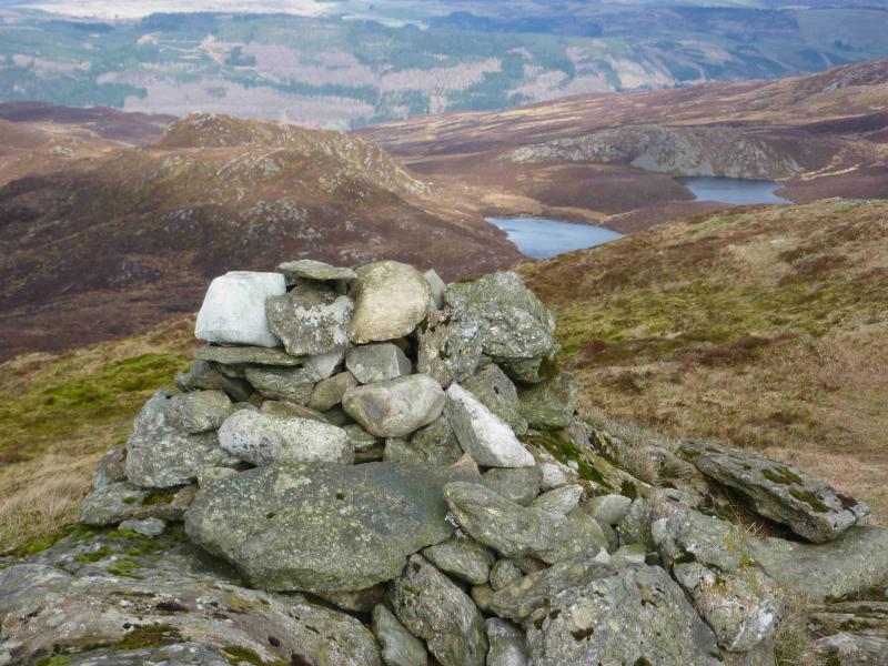
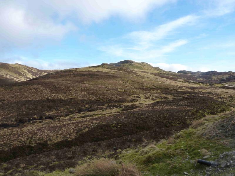
(1) Ascend behind the limekiln. Go through a gate (wet ground) and walk up the side of the forest. There is a new deer fence on the left and an old stone wall which goes almost to the summit. There is a path on both sides of the wall but it is not that well defined. Follow the stone wall up fairly steep grassy/heathery slopes. Higher up the fence goes off left and crosses the track to the mines. There is a low top just above the forest with a short descent beyond into a grassy hollow. Higher up the stone wall is completely broken when it meets the small crags but re-emerges a little higher. Not much further, another wall goes off left, ascending a gentle ridge, with the original wall descending into a large hollow. Across this hollow is the summit but do not follow the original wall as it descends then goes S. Instead, follow the wall going off left which soon ends at a small cairn at a height of 780 m. From here, a narrow grassy path curves around, to the right, on a gently undulating ridge to soon reach a tapering square stone trig point (not cylindrical as in the SMC Corbetts book) which marks the summit of Meall Tairneachan, 787 m.
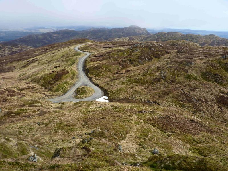
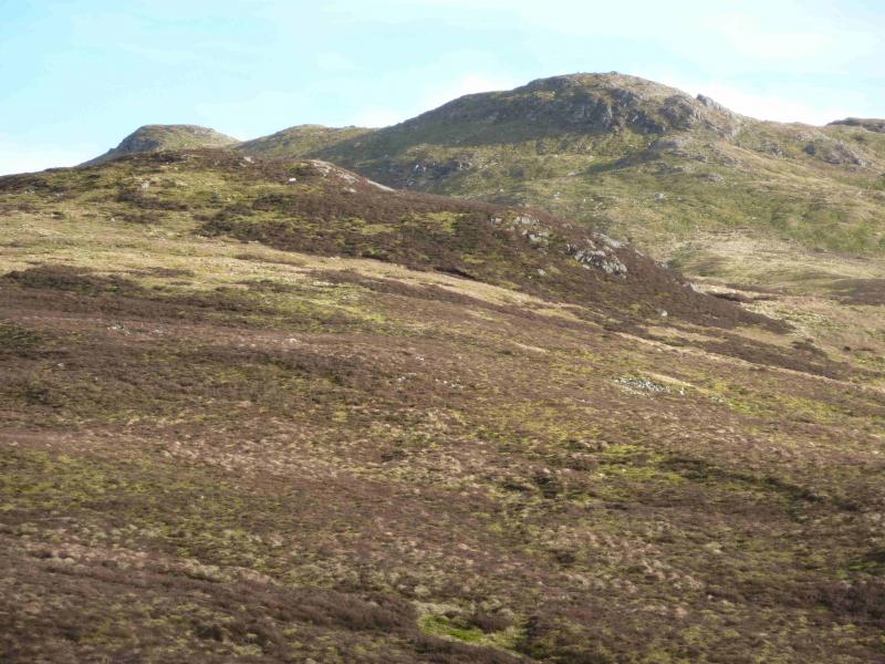
(2) Descend NE down grassy slopes, initially steep, with some avoidable small crags to reach the track, possibly at a small “island” in the track. Turn right and ascend the track to its summit before descending into the extensive mine area. Staying on the main track which sweeps around to the right of the workings is probably best. The track descends then reascends then descends again, gradually becoming more grassy before finally petering out. Farragon Hill is almost due E of here. Descend into the grassy hollow where there is some wet ground and pick a way up the obvious grassy strip on the far side. This drifts left before cutting back right after some boulders leaving one below the steeper final slopes of Farragon Hill which are mainly grassy. Pick a way up to the top where there is a small cairn which marks the summit of Farragon Hill, 783 m.
(3) Return by the route of ascent with all its ups and downs. Alternatively, go roughly SW from the summit on a faint path and pick a way across the grassy/heathery slopes, crossing the outflow from Lochan Lairig Laoigh, to reach the end of the track. This avoids losing unnecessary height but is hardly any quicker. Follow the track through the mine workings, past Meall Tairneachan then down the hill and through the forest to the road. At one point, a gap in the trees gives a very good view of Loch Kinardoch with Schiehallion behind. Once on the road it is just under 2 km, with about half of it up hill, back to the car park.
Notes
(a) This walk took place on 29th October, 2008 and 11th March, 2012.99999
Photos - Hover over photo for caption. Click on to enlarge. Click on again to reduce.