Get Lost Mountaineering
You are here: England » Lake District » 7 Western Fells
Seatallan, Middle Fell & Buckbarrow
Seatallan, Middle Fell & Buckbarrow from Greendale
Start/Finish
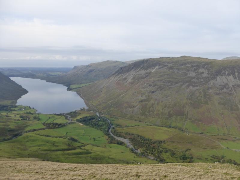
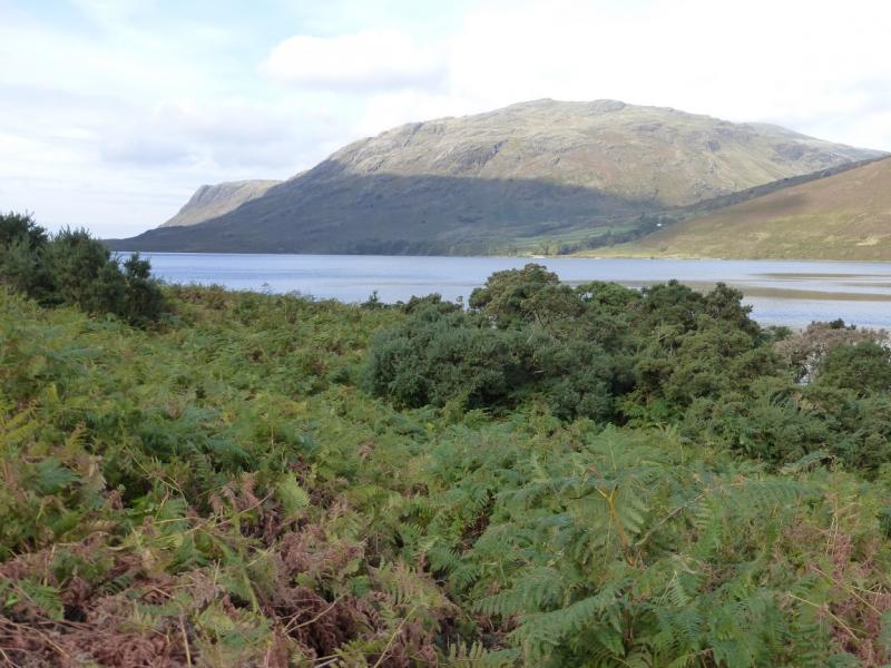
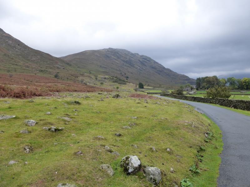
Greendale which is a cluster of holiday cottages about 0.5 miles up the road to Gosforth from Wastwater. There is some parking on a wide grassy verge on the north side of the road just to the east of the cottages.
Distance/Time
10 km About 4 - 5 hours
Peaks
Buckbarrow, 420 m, NY 136 058.
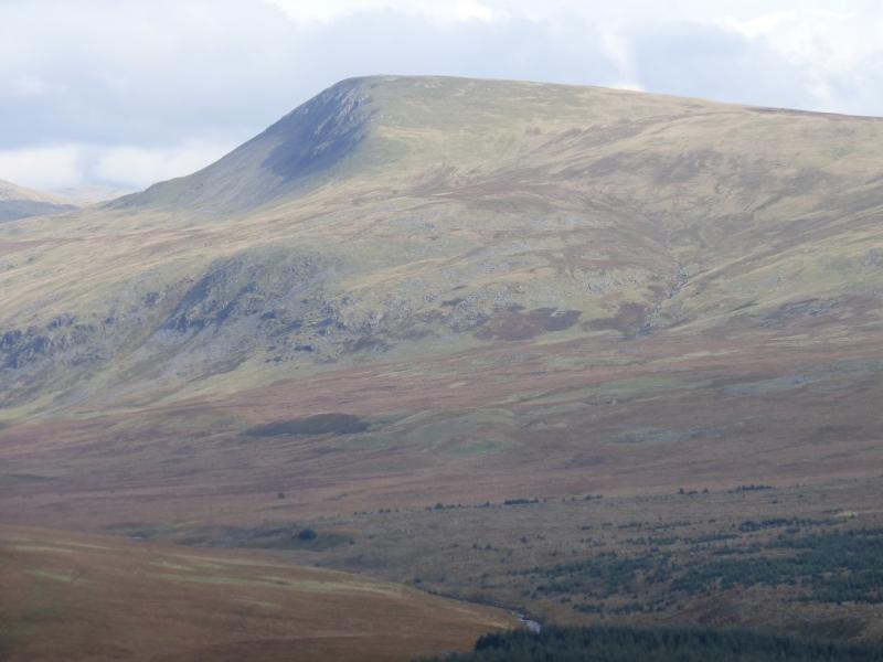
Seatallan, 692 m, NY 140 084.
Middle Fell, 582 m, NY 151 072. OL6 South Western Lakes
Introduction
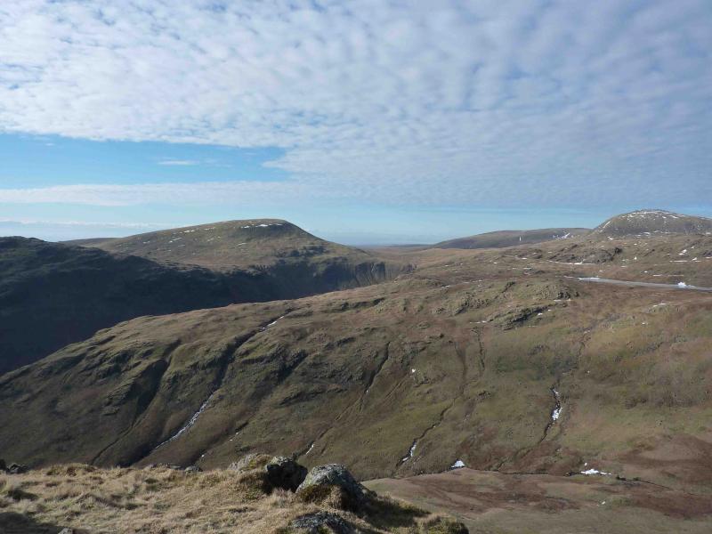
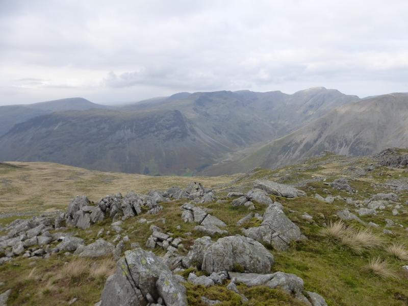
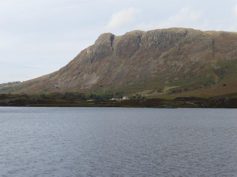
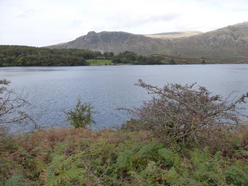
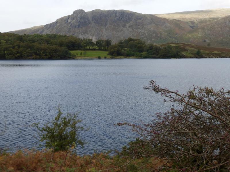
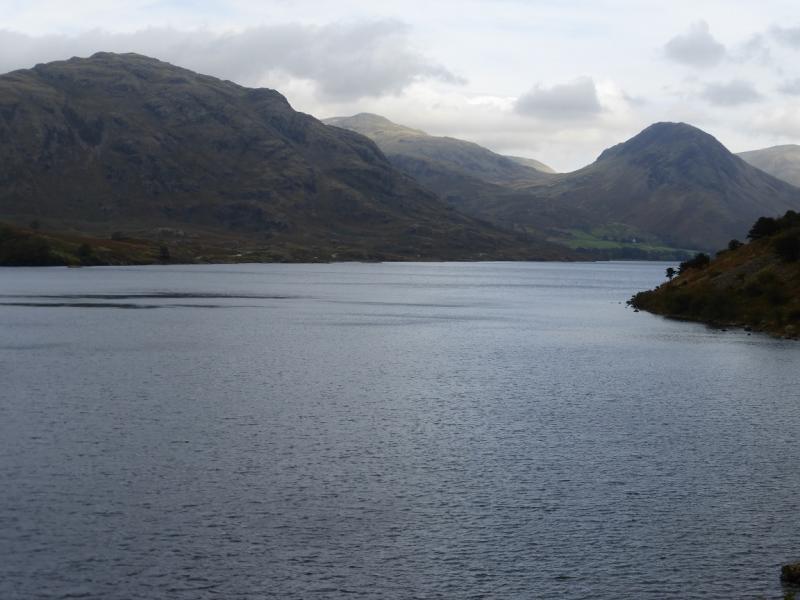
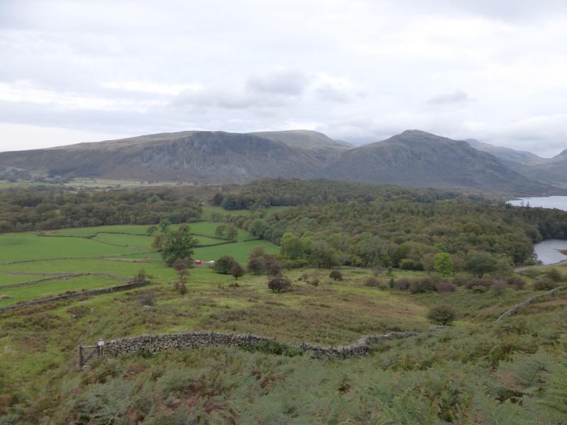
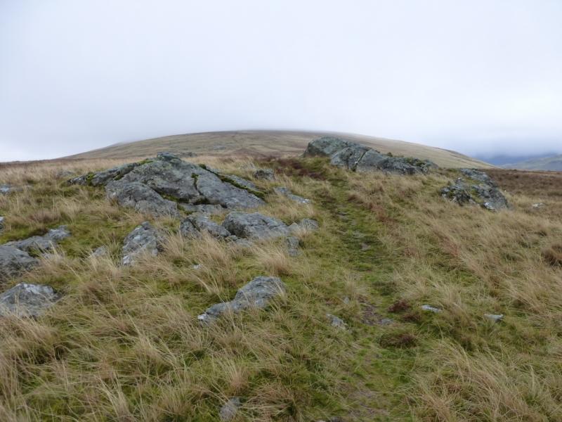
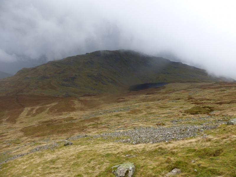
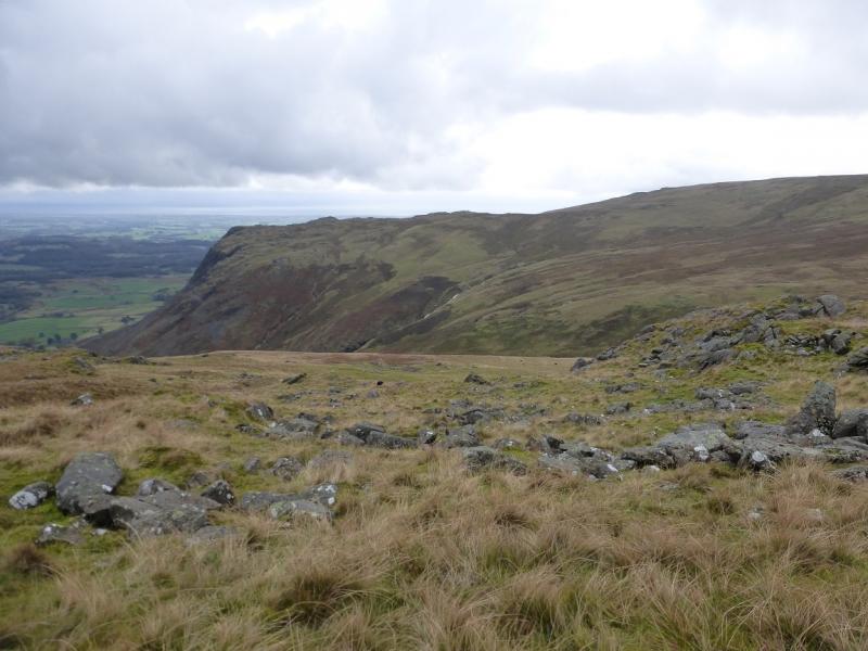
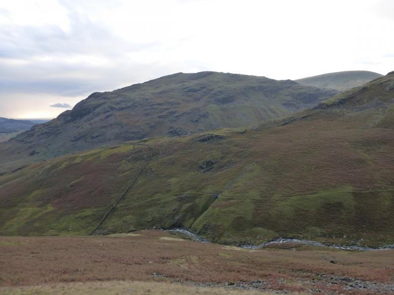
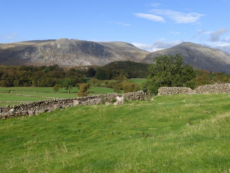
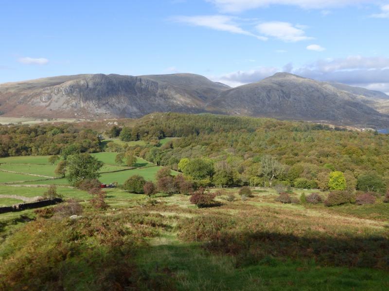
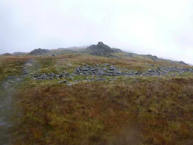
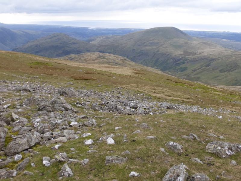
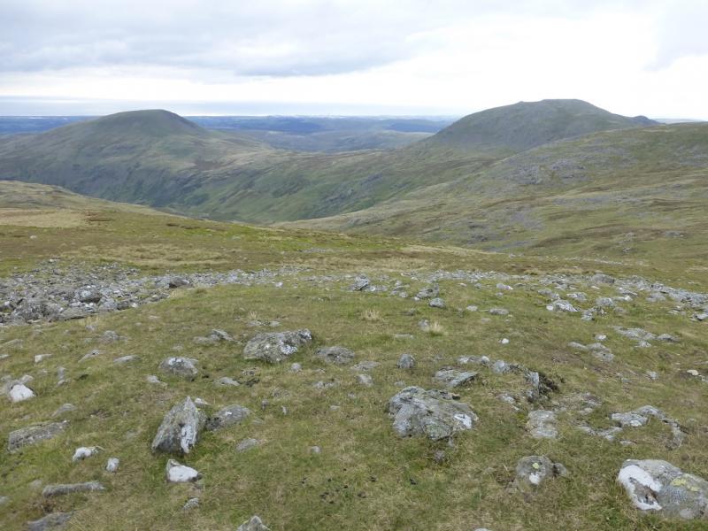
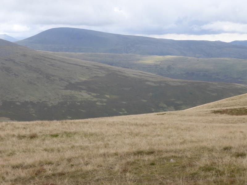
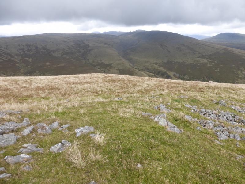
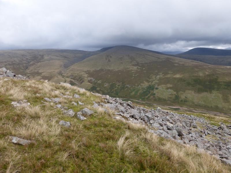
This is a pleasant walk over quite varying ground. Buckbarrow is craggy, Seatallan is mainly grassy and Middle Fell is mainly stony with outcrops. In wet weather, the grassy sections can become quite wet and paths often double as streams. Navigation is fairly straightforward even in mist. On a clear day, there are excellent views to the surrounding hills including Whin Rigg, Illgill Head, Yewbarrow, Haycock, Scoat Fell, Pillar and the Scafells. Buckbarrow has many cairns on its various tops. It is arguable where the highest point is but it is not on the top of the crags but further back. However, many people take the cairn on the top of the crags as the summit and this is the one quoted above.
Route
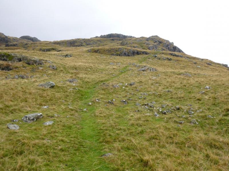
(1) Walk W along the road, for about 2 km, passing under the crags of Buckbarrow. Walk past the first wood on the right. Just past it is Gill Beck. Between the beck and the wood is a path going up the side of a wall. Higher up it becomes more distinctive and drifts right to cross a stream to the E before continuing up to the W end of the crags. It is worth visiting each cairn, especially the one sittting on the top of the crags as it is the “summit” of Buckbarrow, 420 m. There are other higher cairns further back from the crags. All are connected by paths.
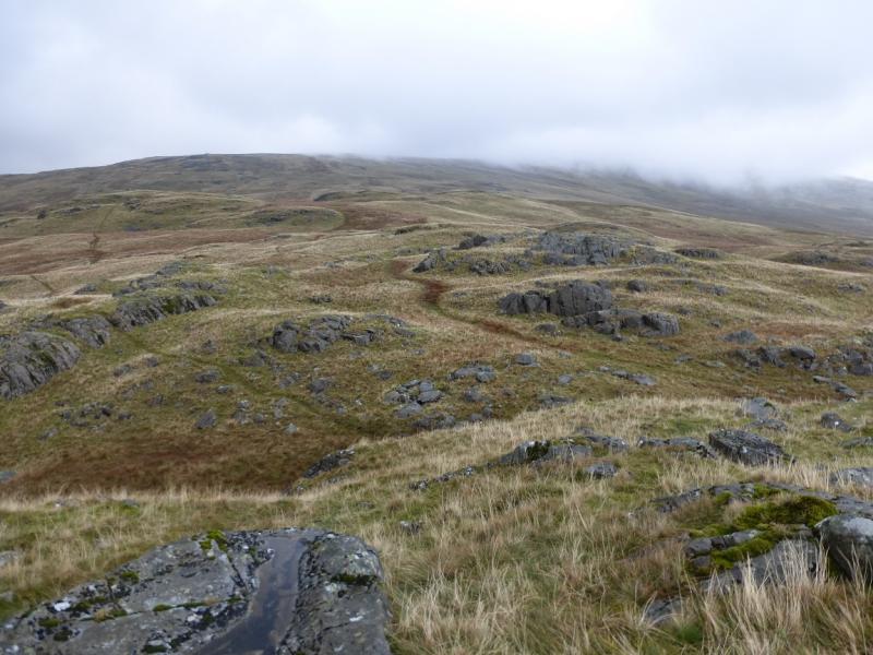
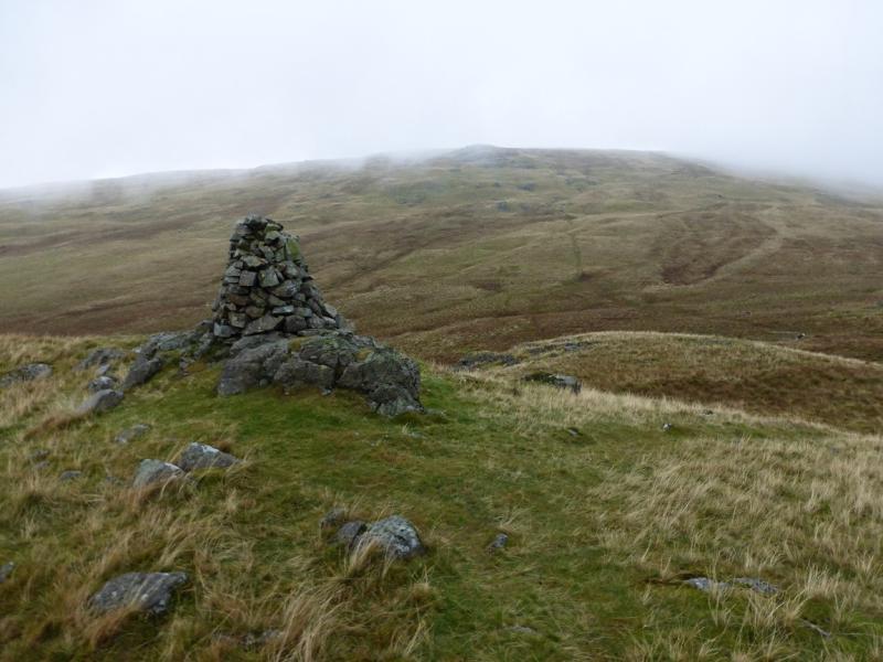
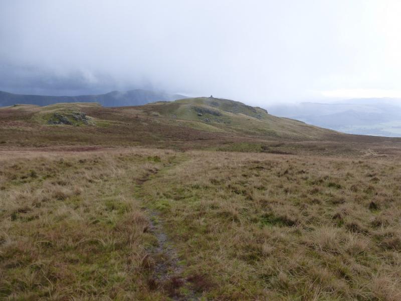
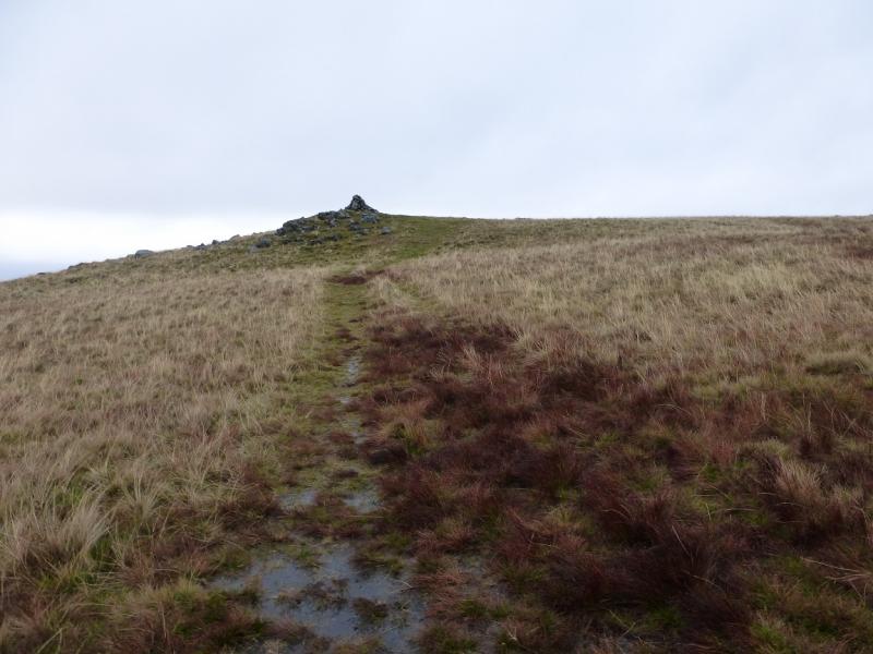
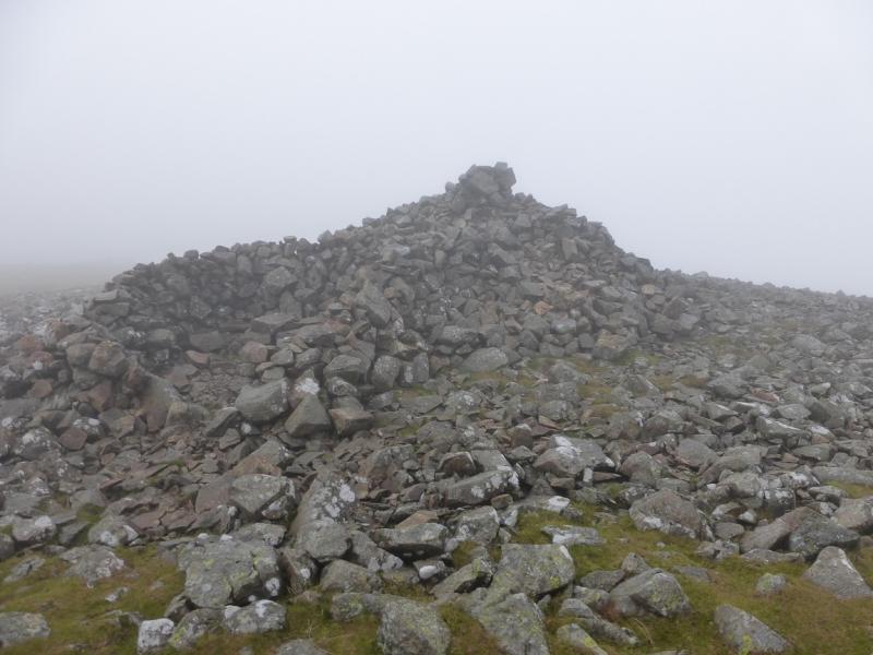
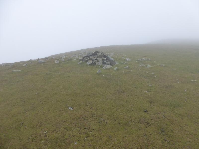
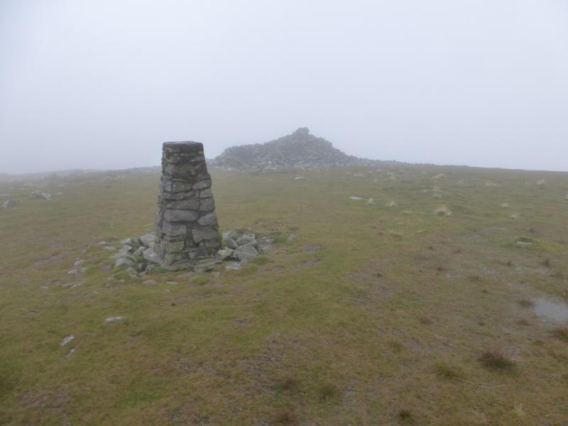
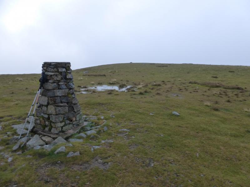
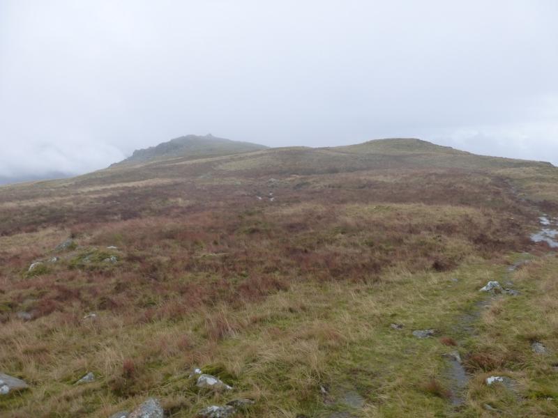
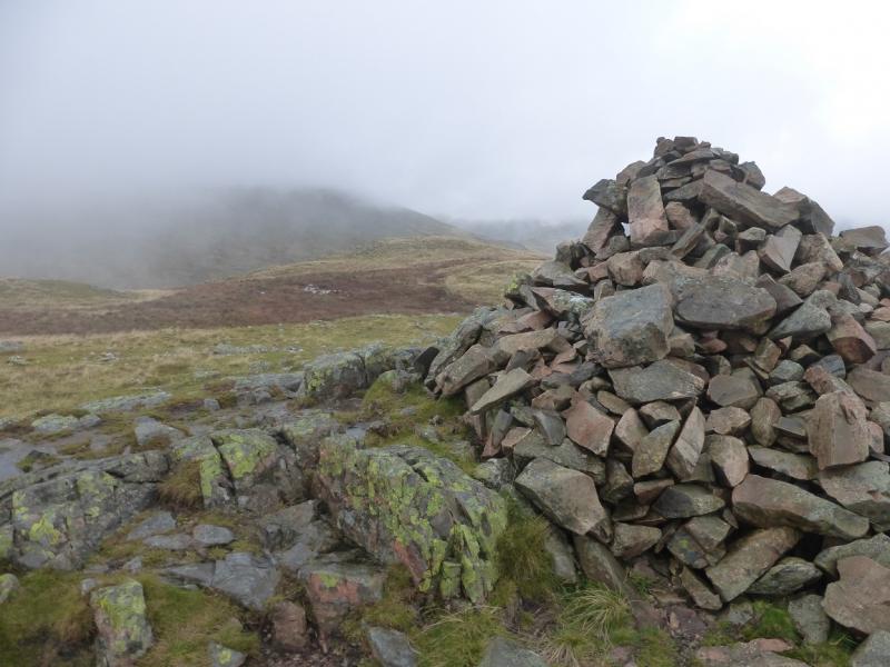
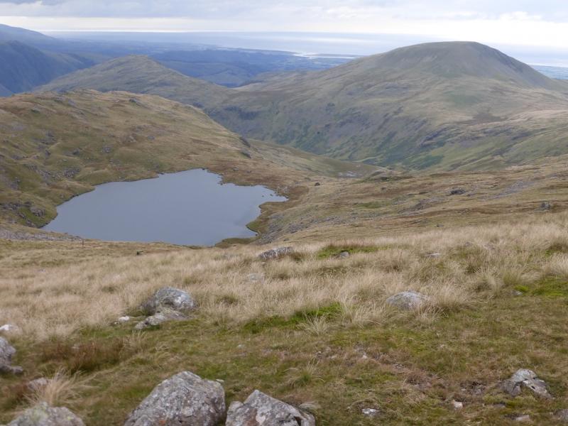
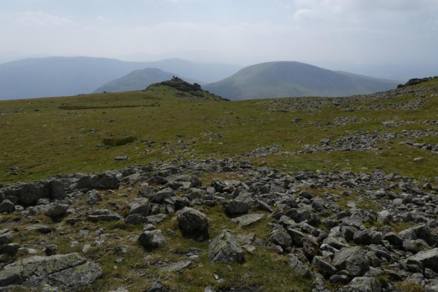
(2) Pick a way to the other tops, visiting the highest and furthest back one last which is the largest of all the cairns on Buckbarrow. From here, a path goes roughly N, across a shallow dip, to reach a larger, prominent, tall cairn, sitting on a small outcrop, which is Glade How. The path continues across a shallow grassy dip then ascends to another prominent cairn which is Cat Bields. The paths ascends grassy ground, heading NNE, and is easy to follow until patches of short grass are encountered. Care will be needed here in mist but the summit is close and sits on the edge of a steep slope dropping to the NW. There are three summit features: a trig point close to a very large summit cairn and a small cairn further on but still on the edge. In thick mist, the smaller cairn may not be visible from the trig point. A simple way to locate it is to walk from the shelter cairn to the trig point then turn left at right angles and walk about 200 m. It is difficult to tell which of these features is the highest point but, observations on the ground suggest it might be the smaller cairn which is the summit of Seatallan, 692 m but visit all three to be sure!
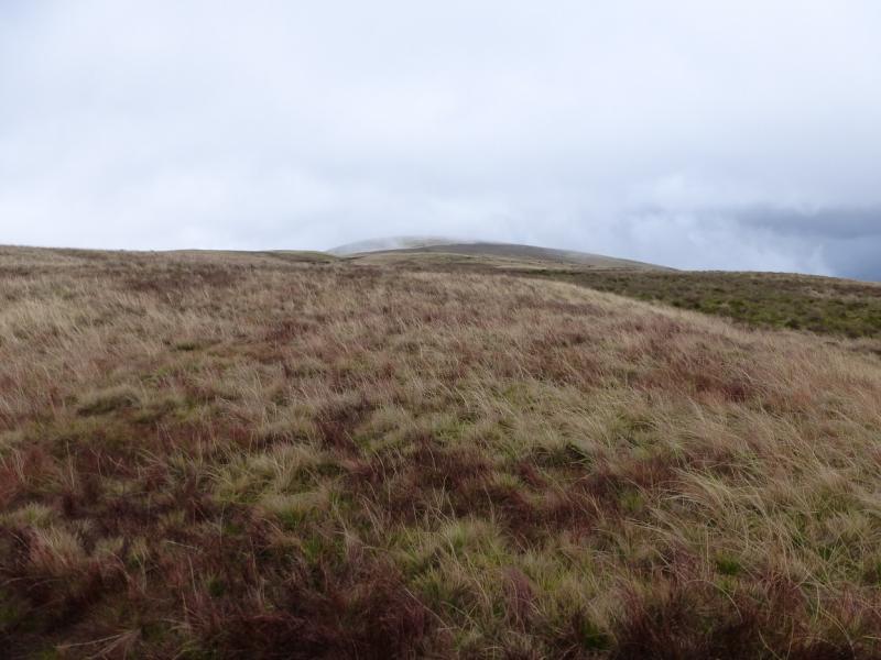
(3) Descend almost due E from Seatallan towards the 485 col. On such a line, there is no path, it lies further to the north but is not easy to find in mist. The direct descent is mainly grassy but can be wet. The col is broad and often wet.. A distinctive path leads up from it heading SE then S up Middle Fell. This eventually leads to a large cairn which is the summit of Middle Fell, 582 m.
(4) A path descends roughly S though it it is not that easy to find its start at the summit but, once located, it is easy to follow and leads down grassy/stony ground to join the path from Greendale Tarn and then back to the start.
Notes
(a) This walk took place on 9th October, 2014.
Photos - Hover over photo for caption. Click on to enlarge. Click on again to reduce.