Get Lost Mountaineering
You are here: England » Lake District » 2 Far Eastern Fells
Tarn Crag and Grey Crag from Sadgill
Tarn Crag and Grey Crag from Sadgill
Start/Finish
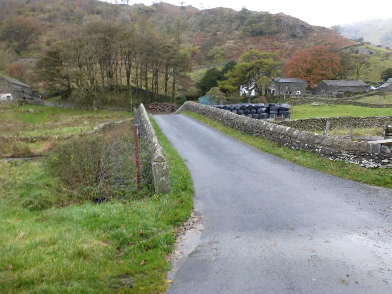
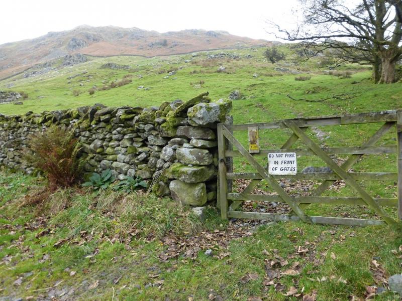
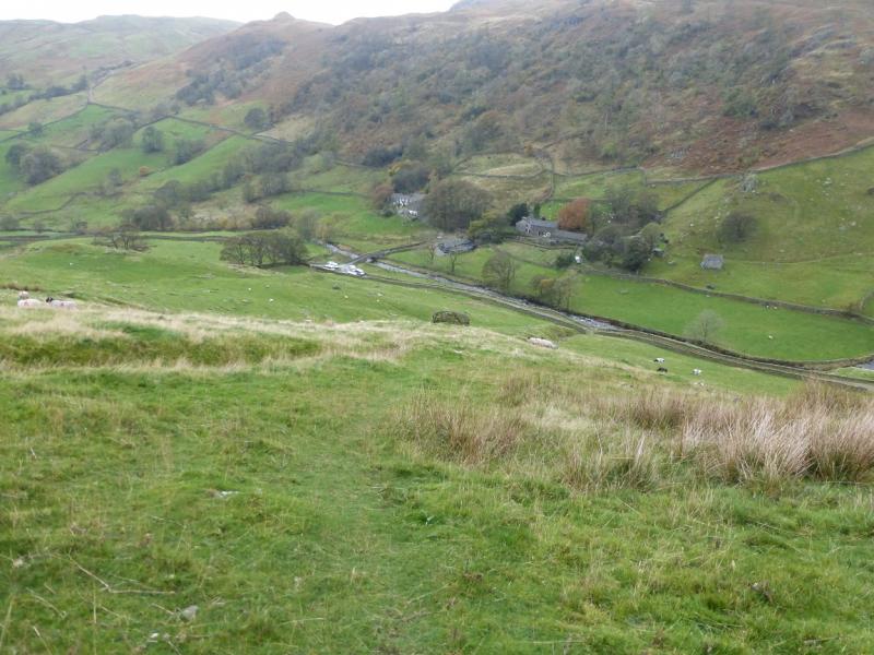
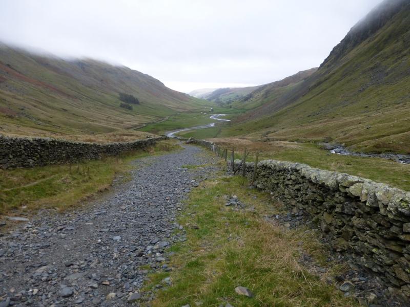
Sadgill which is at the end of the public road in Long Sleddale. From Kendal, drive north on the A6 for about 4 miles until the left fork for Long Sleddale is reached. Drive up the narrow road to its end. Passing places are few so if you meet an oncoming vehicle, expect to have to reverse. There is limited parking at Sadgill but no proper car park. There are toilets about half way up the valley opposite St. Mary's Church.
Distance/Time
9 km About 3 – 4 hours
Peaks
Grey Crag, 638 m, NY 497 072.
Tarn Crag, 664 m, NY 488 078. OS 1: 50 000, sheet 90.
OS 1: 25 000 Outdoor Leisure 7, English Lake District SE Area.
Introduction
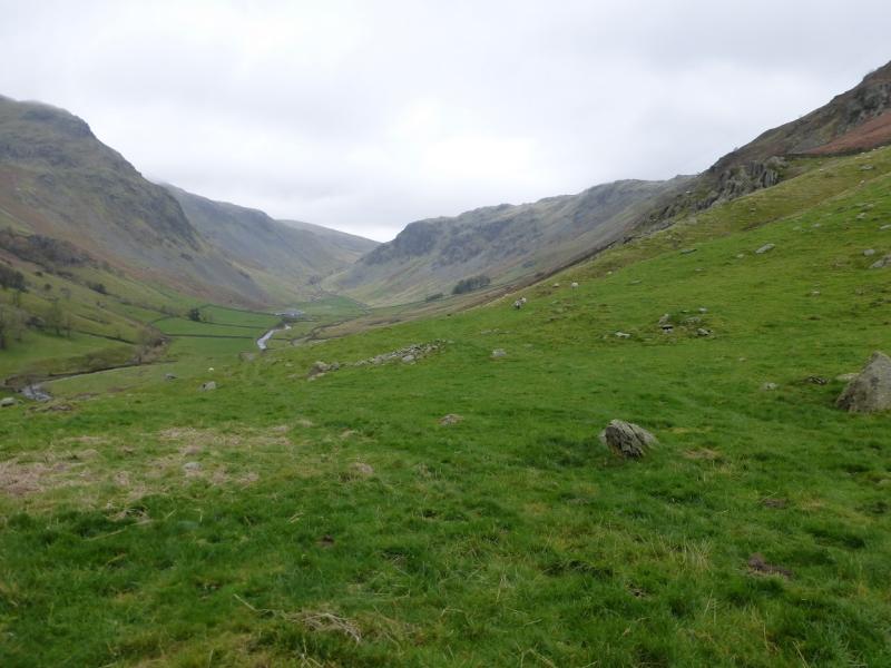
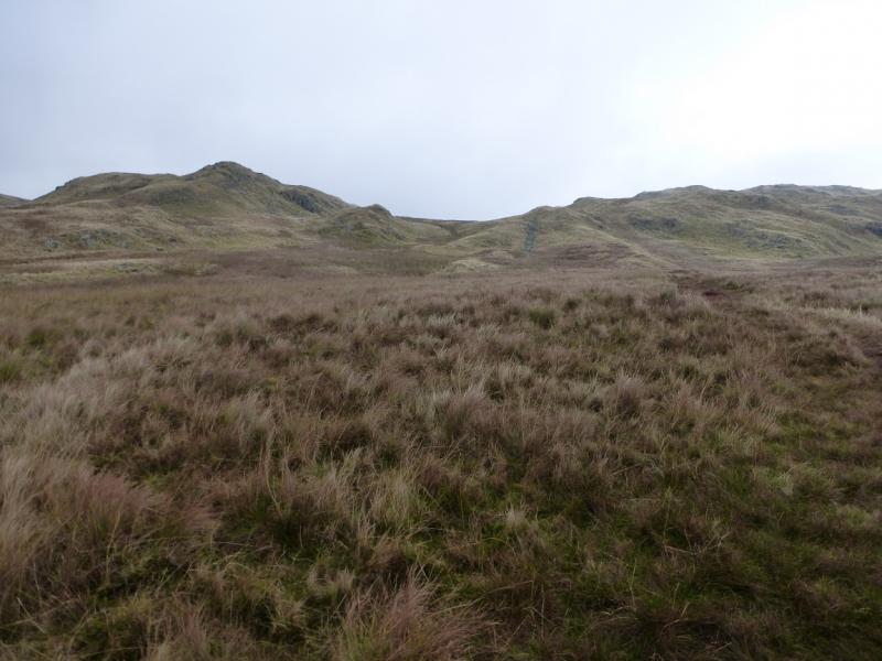
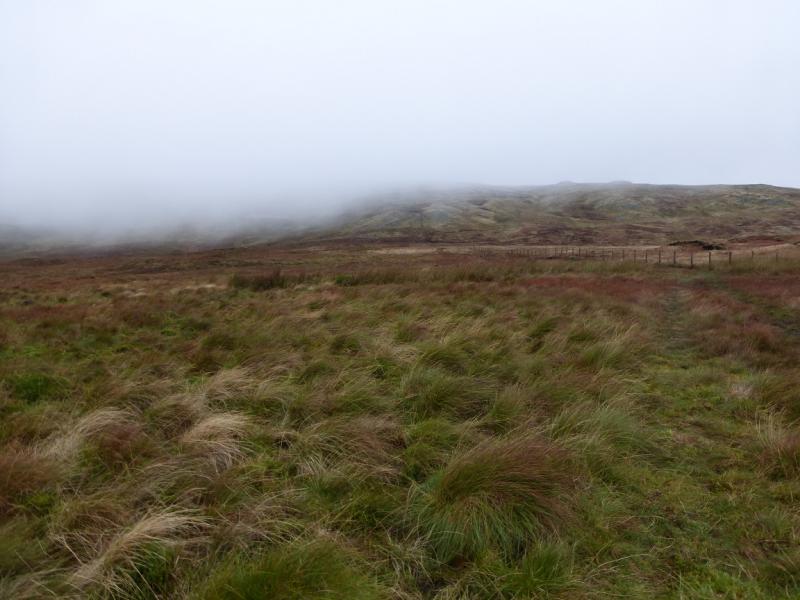
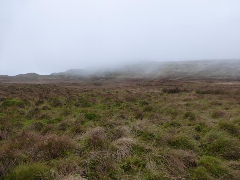
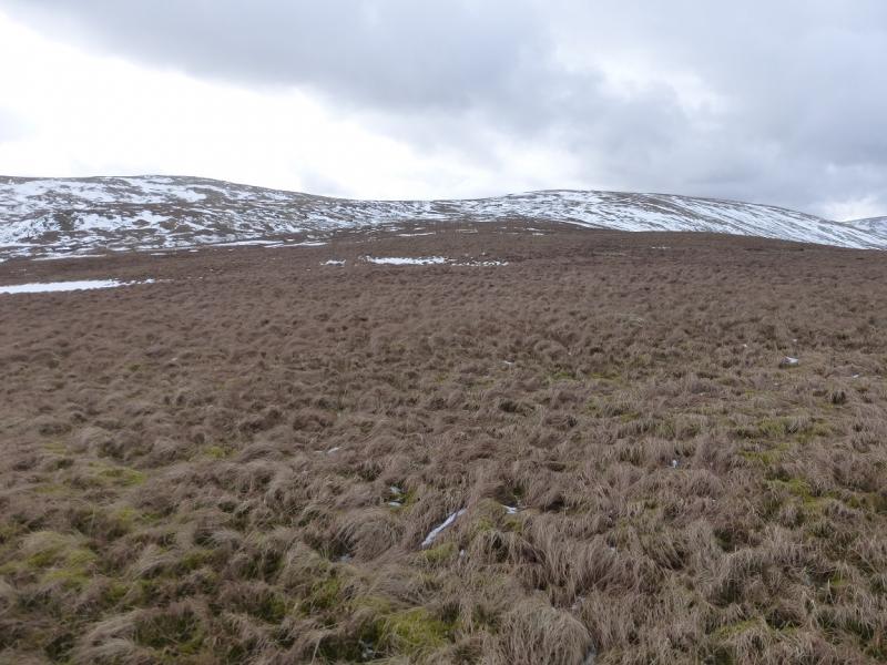
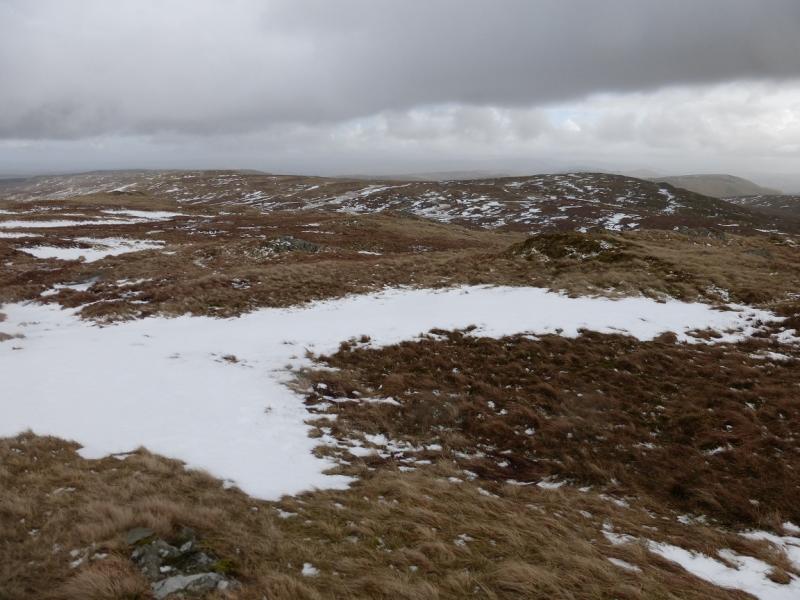
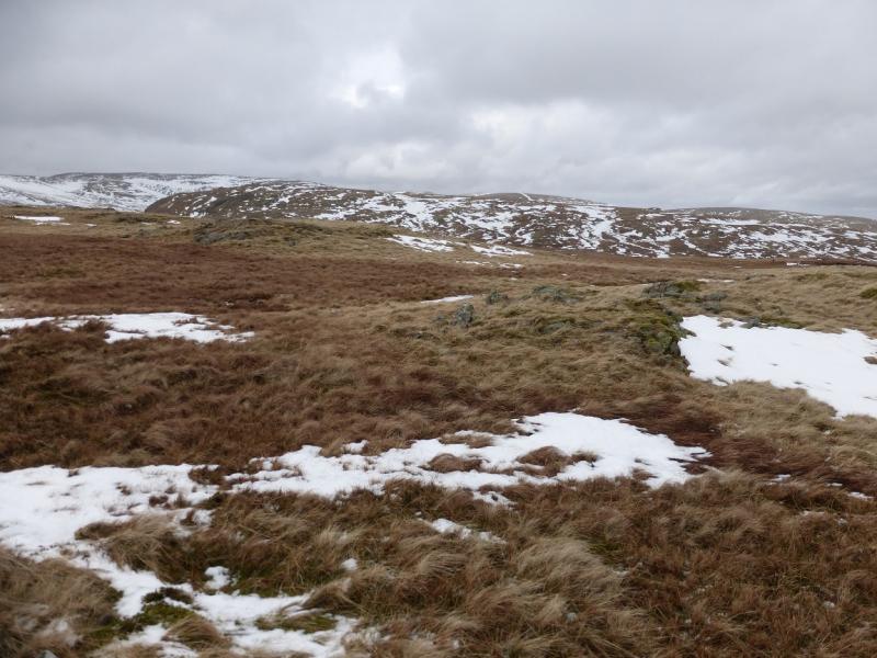
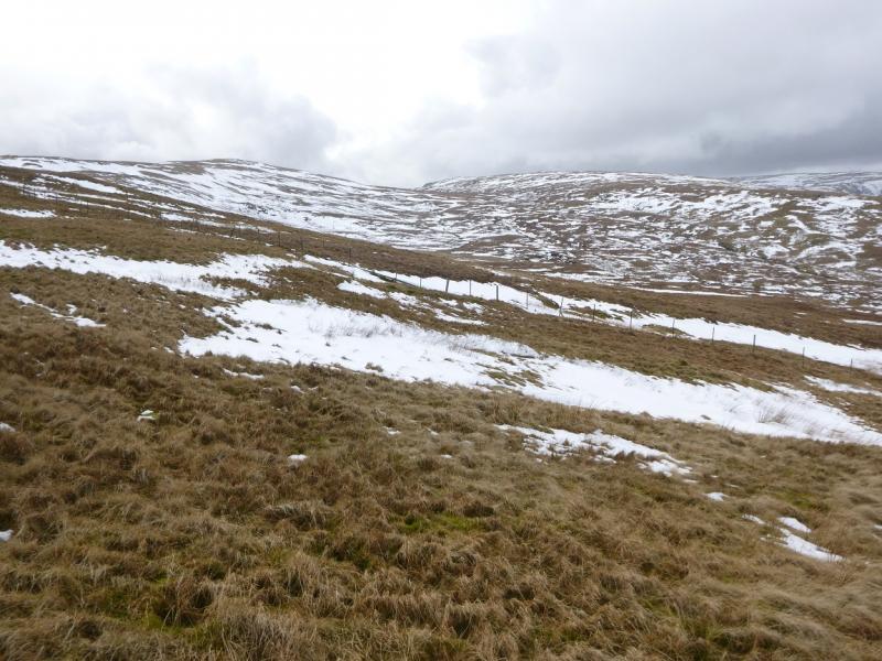
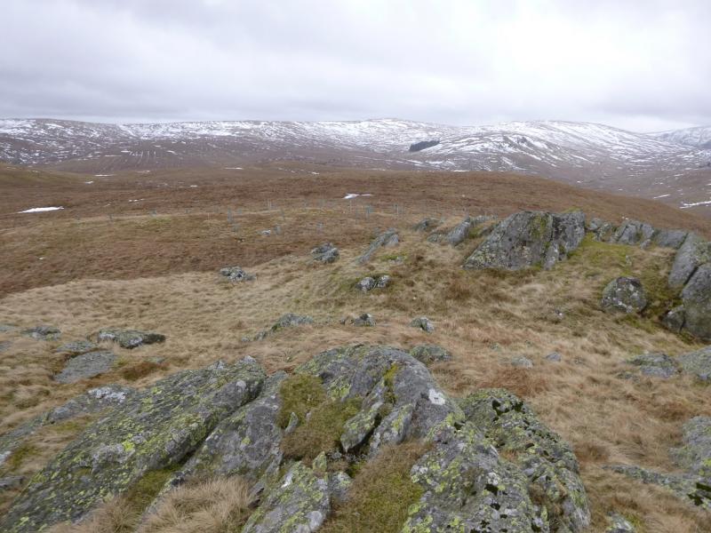
This is essentially a high moorland walk. After a steep start, the gradients are fairly gentle. The ground can be very wet and mossy especially in the cols. In clear weather, there are good views to Branstree, Harter Fell, High Street and Kentmere Pike. Apart from the first field, there is a path all the way so navigation is not difficult even in mist.
Route
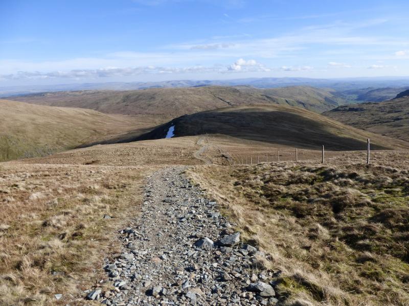
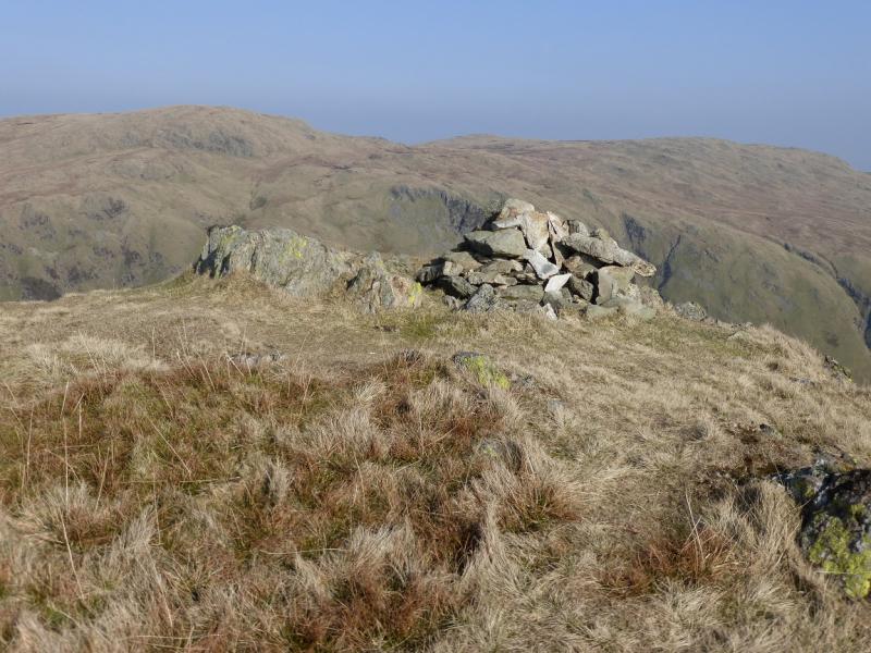
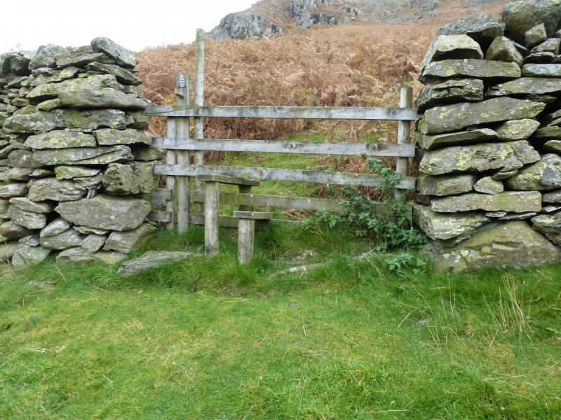
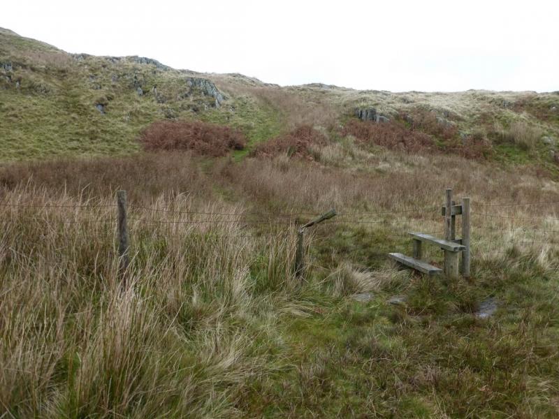
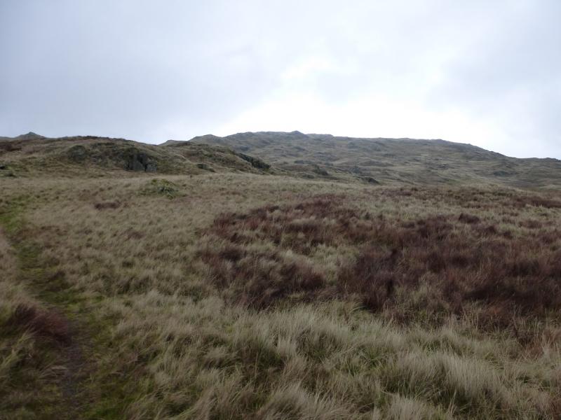
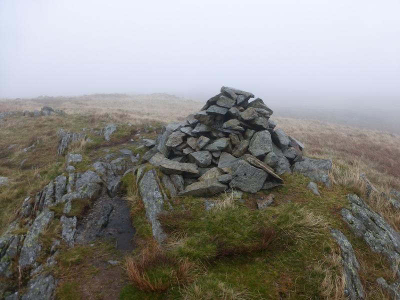
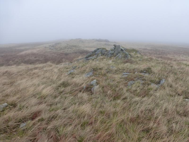
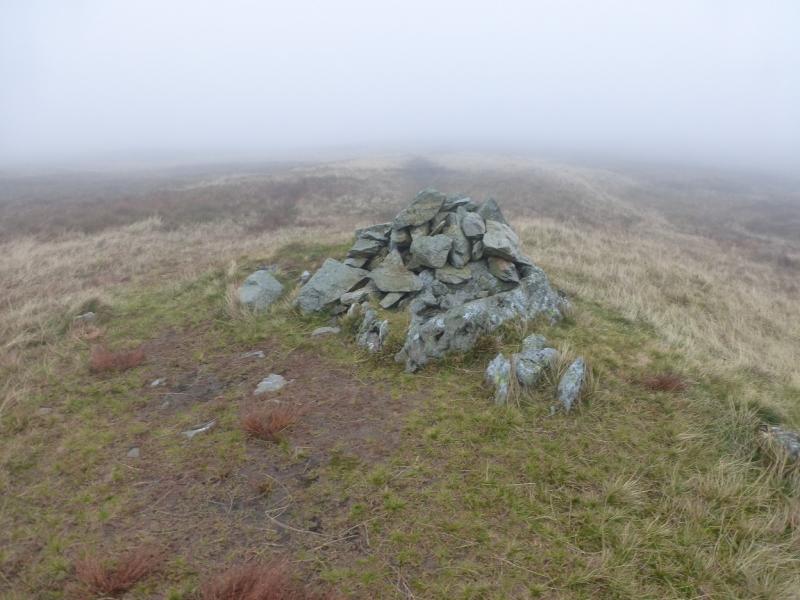
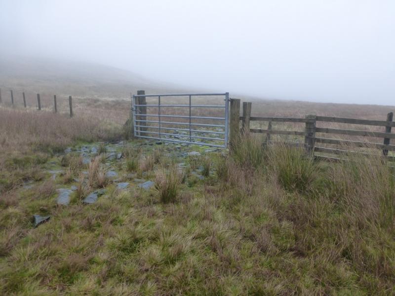
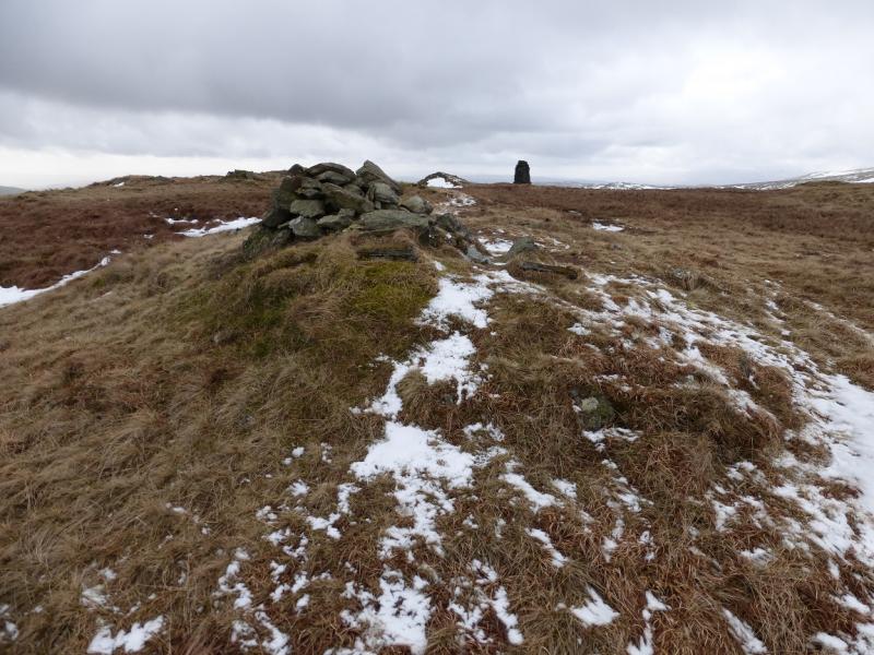
(1) Go through the gate on the right by the parking area and slant diagonally up the field towards a crag in the top left corner. When it is close, notice a stile through the top stone wall. Cross this and follow the path on the other side. Follow this up, initially by a tiny stream which will be dry most of the time. When the path splits, take the left fork which winds its way up Great Howe followed by a more level moorland section before the path drifts right and picks its way up to the medium cairn which is the summit of Grey Crag, 638 m. There is a smaller cairn about 40 m further which is of similar height.
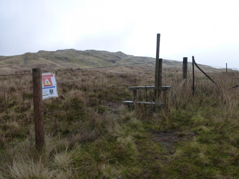
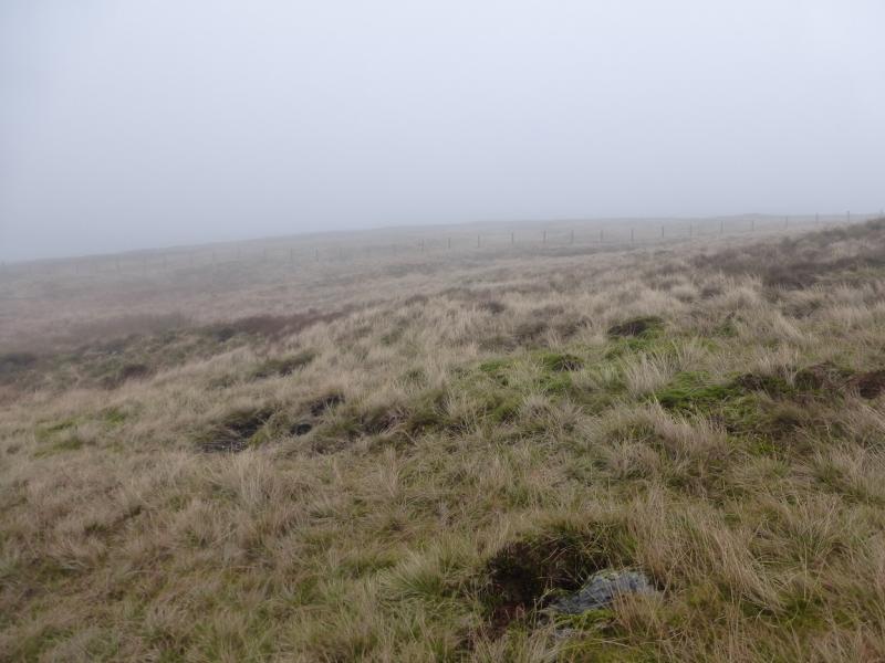
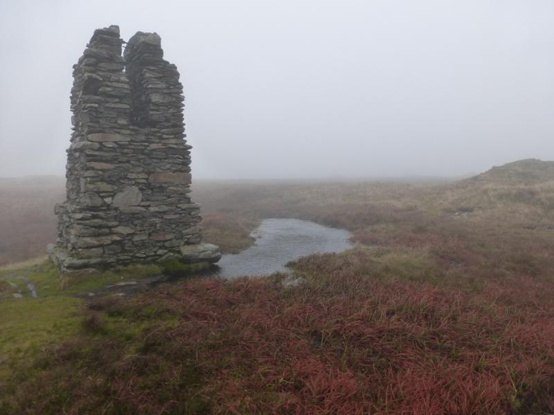
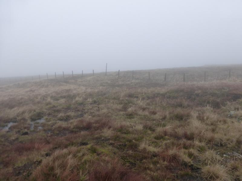
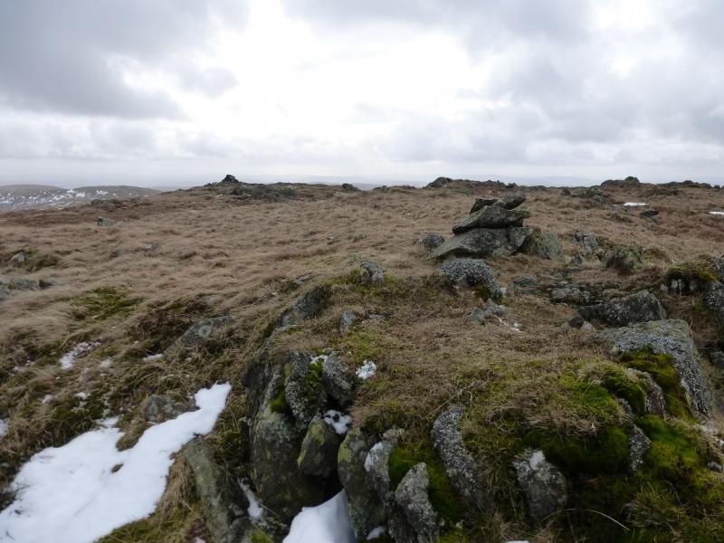
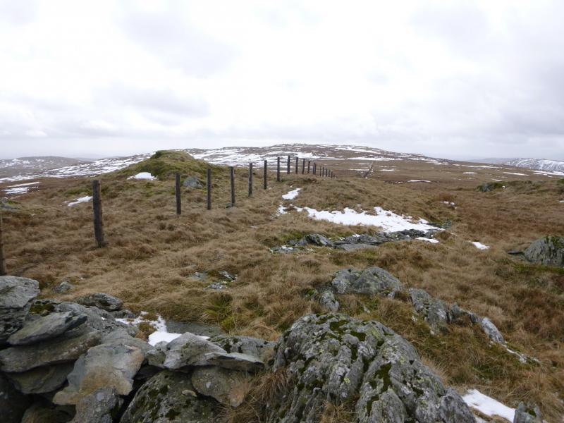
(2) Follow a path heading roughly NW which descends gentle slopes and converges with a fence coming in from the right. Follow the path and fence across a wet col then up on to the NE ridge of Tarn Crag where the path splits. Take the left fork which goes to the medium cairn which is the summit of Tarn Crag, 664 m. A little further is a tall pillar closer to the edge overlooking Long Sleddale.
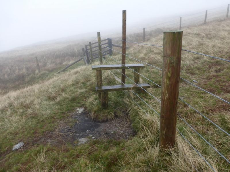
(3) Descend easy slopes, on a path, going about NNW to meet up with the fence again. Follow this down to a broad and wet col. Continue to a gate on the right then go left on a wet and mossy track which leads down to the head of Long Sleddale. Reach a track and follow it S back to Sadgill.
Notes
(a) This walk took place on 22nd October, 2014.
Photos - Hover over photo for caption. Click on to enlarge. Click on again to reduce.