Get Lost Mountaineering
You are here: England » Peak District » Bleaklow, Higher Shelf Stones & Cock Hill from Old Glossop & Snake Pass
Yellow Slacks Ridge, Higher Shelf Stones & Cold Harbour Moor
Yellow Slacks Ridge, Higher Shelf Stones & Cold Harbour Moor
from Old Glossop
Start/Finish
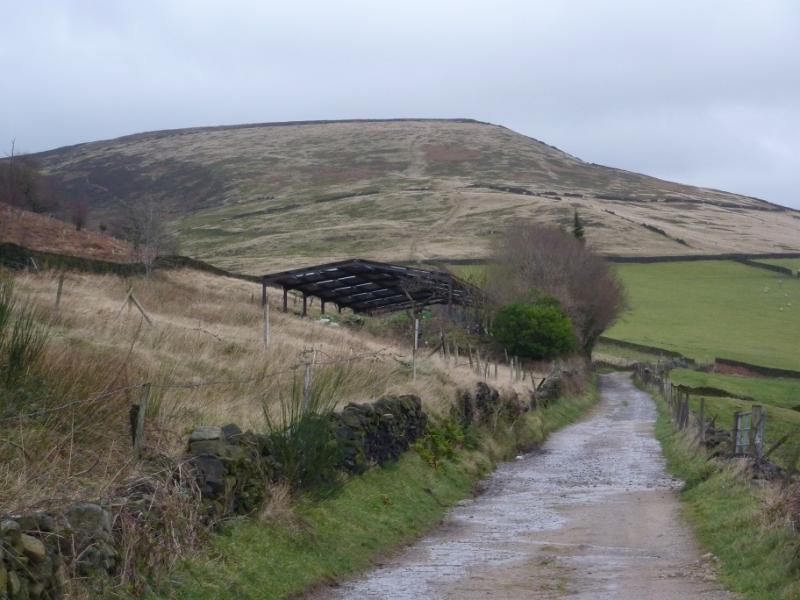
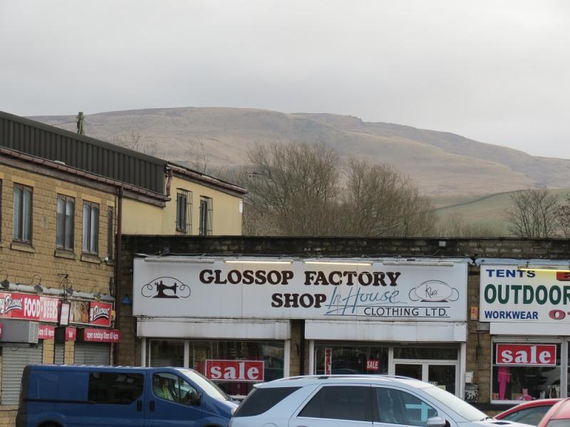
The turning circle at the end of Shepley Street in Old Glossop. From Glossop, take the Snake Pass road. Go through the first roundabout then take the next left at the Commercial Inn which goes up Manor Park Road. Higher up, the road seems to go right which is Shepley Street (there is a street sign). Follow this to its end at a turning circle just after a large factory on the left. Do not park in the turning circle but park sensibly close by.
Distance/Time
14 km About 5 hours
Peaks
Higher Shelf Stones, 621 m, SK 088 947.
OS Outdoor Leisure 1: Dark Peak. OS 1 : 50 000 Sheet 110.
Introduction
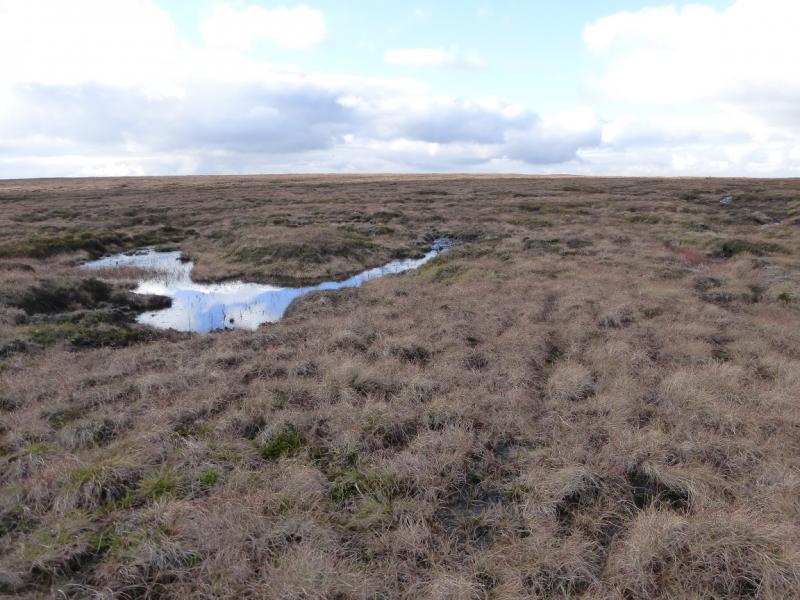
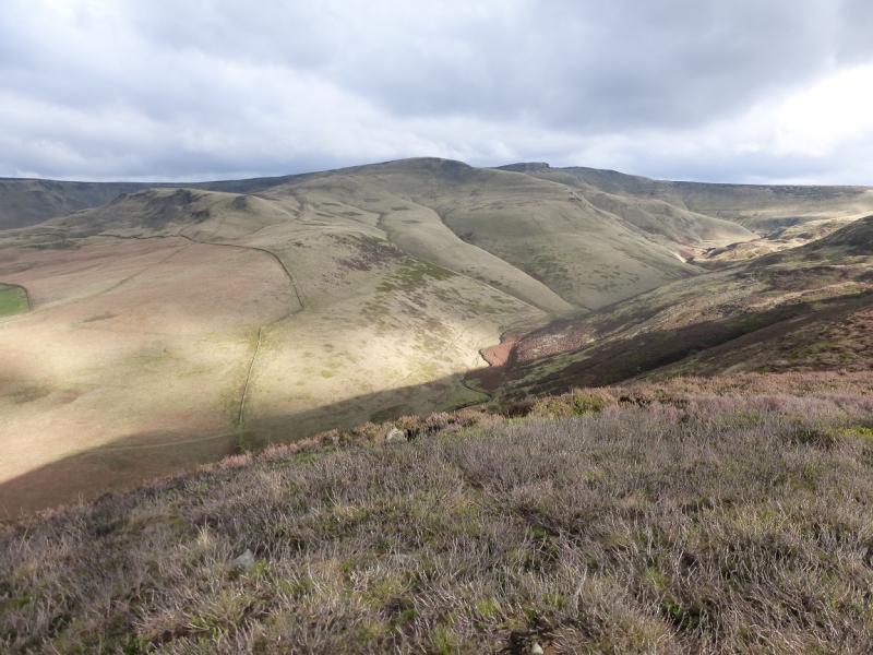
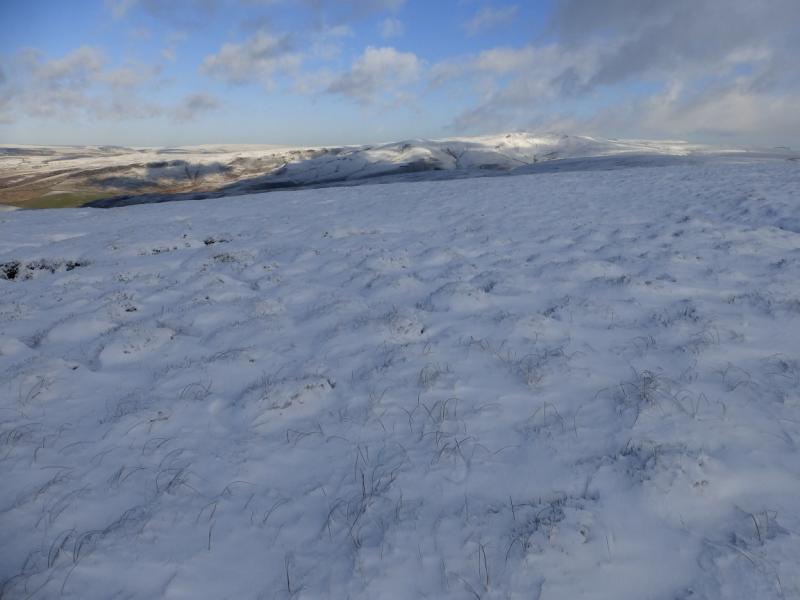
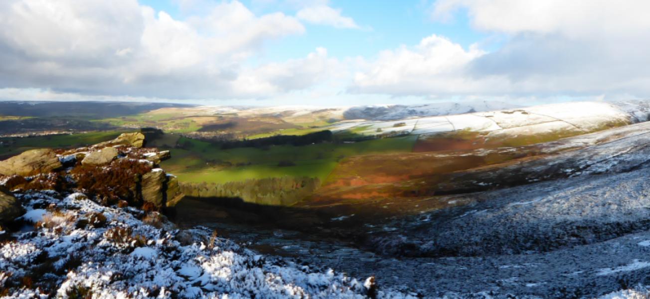
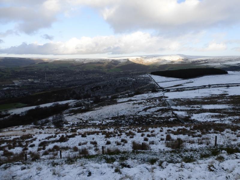
This is a fine walk in the Dark Peak which, in good weather has good views of the surrounding countryside including Black Hill, the Howden Edge, Kinder and Win Hill. Some of the going is boggy, even in a dry spell, and gaiters are recommended. This walk can easily be accomplished on a short winter's day. It is recommended when the ground is frozen as that makes it less boggy! Because of the nature of the terrain, this walk is best undertaken in clear weather. The route crosses Shelf Brook quite low down on the return and this may be a problem after rain, in which case, try to cross higher up.
Route
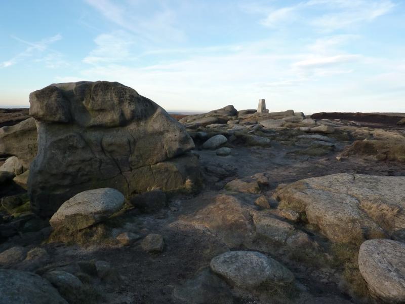
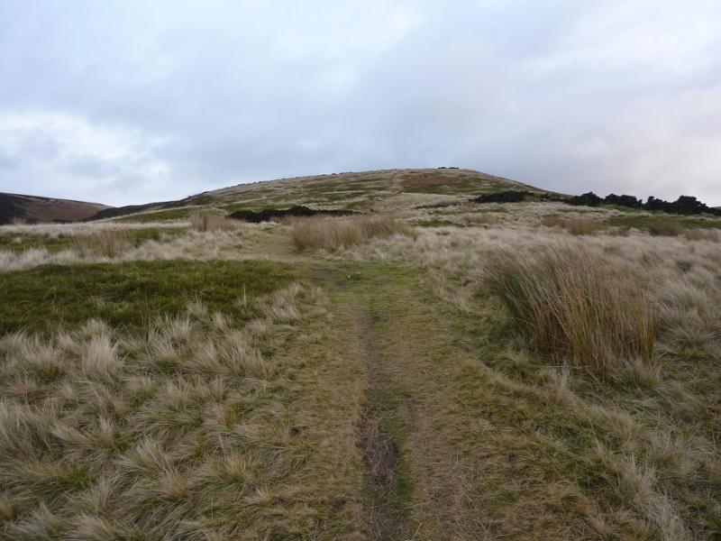
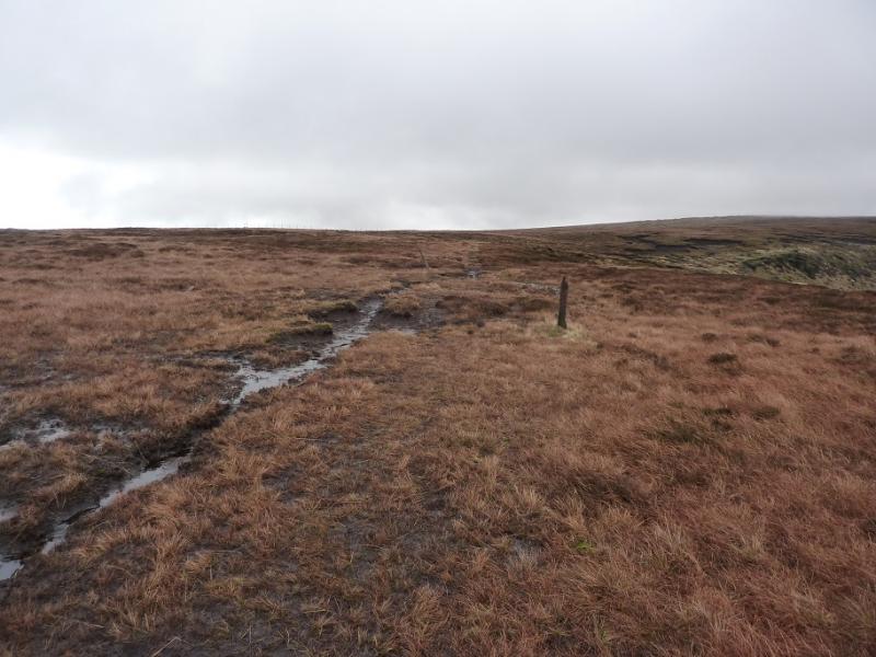
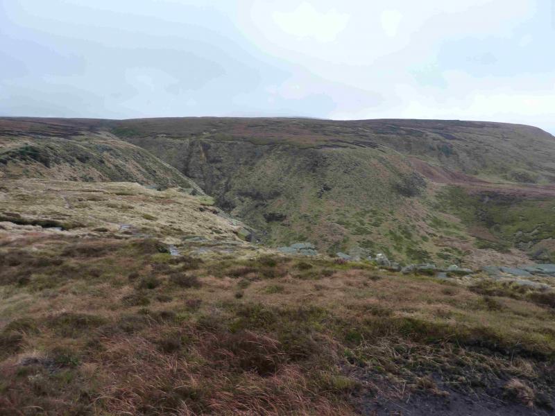
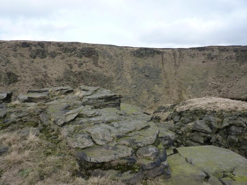
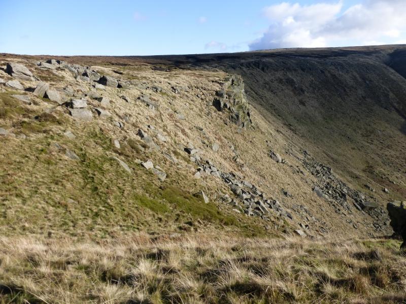
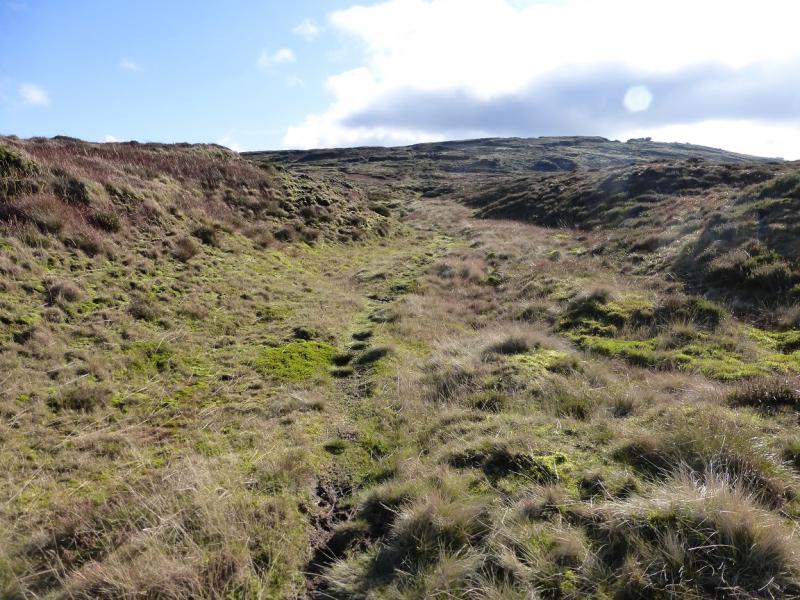
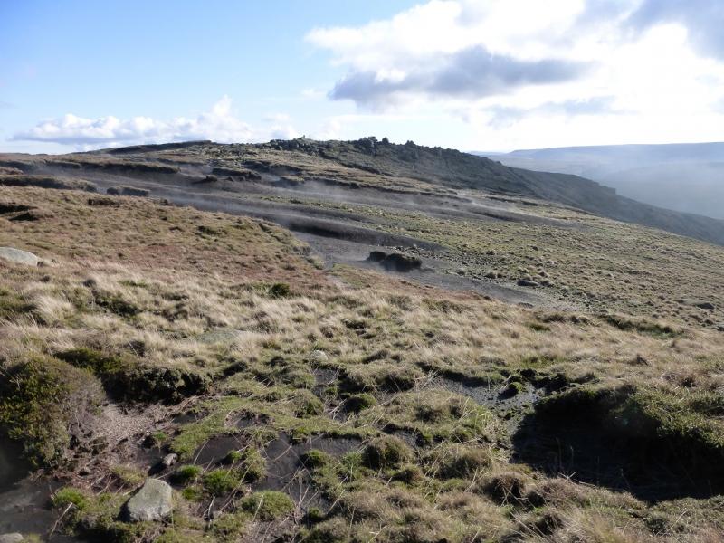
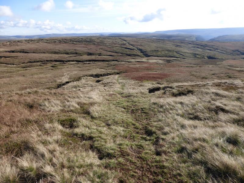
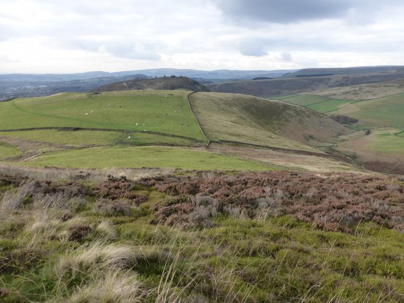
(1) Walk up the track alongside Shelf Brook which is the continuation of Shepley Street beyond the turning circle. After about 800 m and just after crossing the bottom of Small Clough ( the bottom of Small Clough is named as Shittern Clough on 1 : 25 000 maps), there is a gate across the track with a small gate to the left. Go through the small gate and follow the path up between a stone wall and a barbed wire fence. This “confinement” is short lived and one is soon out on open land. Continue up the Yellow Slacks ridge on the obvious path. A large cairn is passed and the path reaches the start of Dowstone Clough which is impressively deep and rocky. Continue on the path which is still quite distinctive. About 200 m after the clough becomes less deep, look for a faint path going down into the clough then a more distinctive path, slanting right, ascending the other side. The clough is no more than about 10 m deep here. Once up the opposite bank, the path splits; follow the one at right angles to the clough, heading roughly SSE. The path is fairly obvious, almost straight and the going is generally on grass with little gradient. When the gradient steepens slightly, the path becomes fainter so drift right on to peaty gravel and continue in roughly the same direction. Some outcrops will be reached and soon after a major path will be reached. Go left, E, and follow this easily to the trig point, set amongst outcrops, which is the summit of Higher Shelf Stones, 621 m. The rocks provide shelter, if needed, from any cold winds.
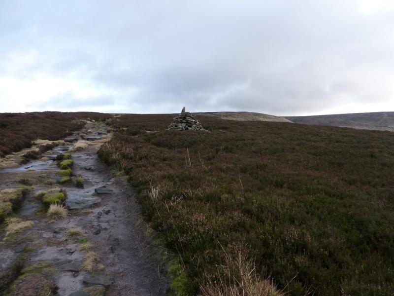
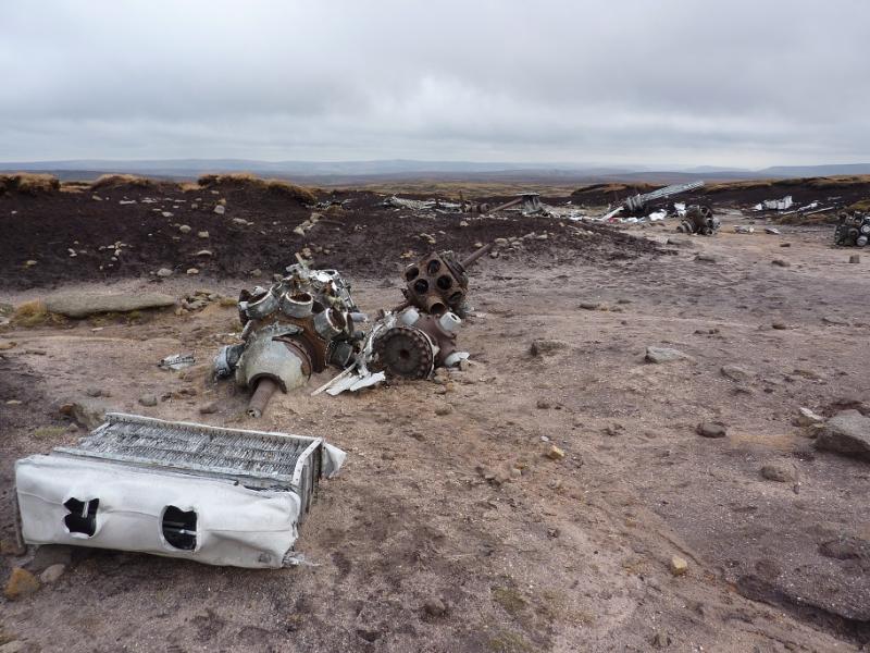
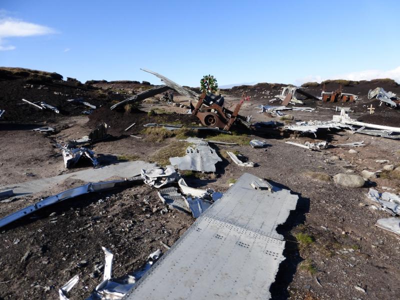
(2) Head roughly NNE and soon reach some aircraft wreckage from the Second World War. Follow the long line of wreckage then follow the path heading roughly E towards the top of Crooked Clough. The path is fairly distinctive but wet and boggy in places. Once the clough is crossed, continue, still following the path, roughly E, until it reaches the obvious Pennine Way path. Turn right and head generally S to reach the A57 road at the top of the Snake Pass where there are some road side rocks to sit on if wished.
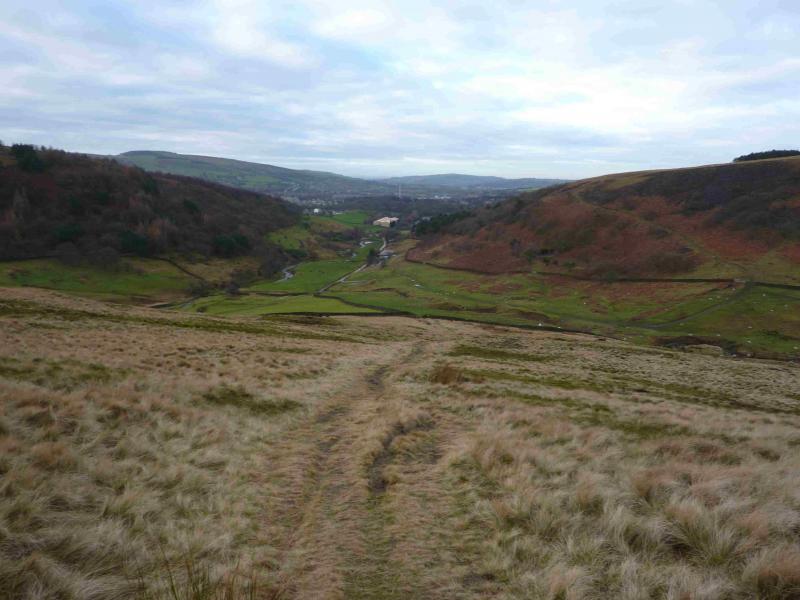
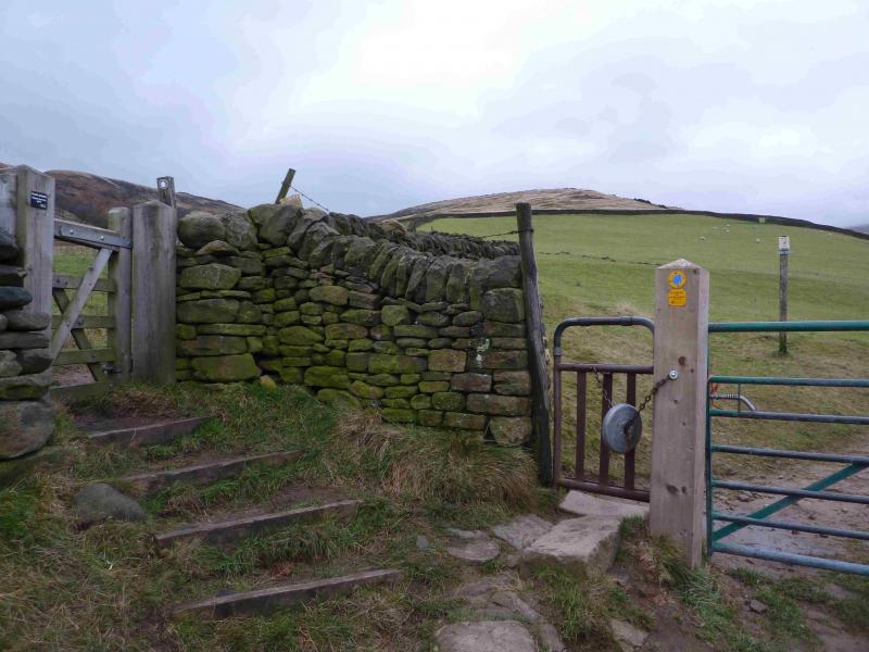
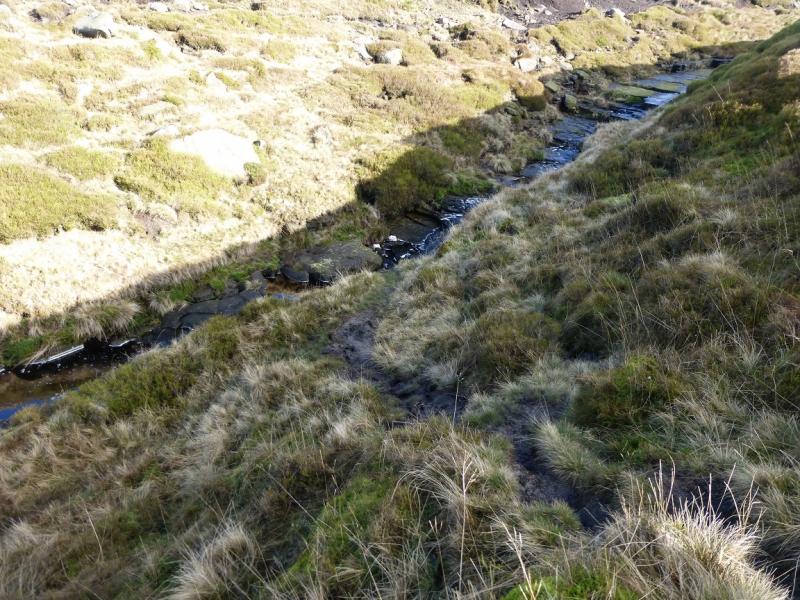
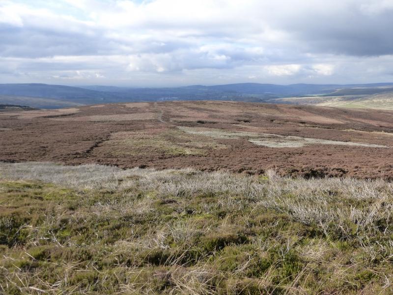
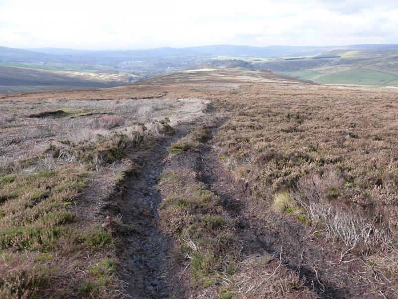
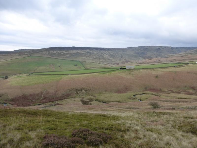
(3) Walk W along the road for about 200 m then pick a way to a stile off to the right. There is no path from the road nor is there one after the stile so head roughly WNW over rough, sometimes boggy and heathery ground. Once the highest point is reached (hardly any gradient), a long gentle ridge stretches down towards Shire Hill – the wooded hill with a quarry on it. Continue down, aiming for a track coming in from the right. Once on the track, follow it down until it drifts left towards the road. Go right here to reach the crest of the ridge just before Lordship Hill which is small but distinctive. Continue down to reach a stone wall crossing the ridge before Wash Brow which is a very green hill. Go right, aiming for a gate where there is a notice saying “Private Land – No Access”. Do not go through the gate but slant diagonally down to the right, initially on a faint grassy path which soon peters out. Continue down, gradually converging with a stone wall. A fence on the right meets this wall at a narrow gate. Go through the gate and continue down to a main gate just before Shelf Brook. Go through the gate. If the brook is in spate, try and cross as soon as possible, otherwise continue down until blocked by a high stone wall. Cross the brook here and squeeze through the small gap between the wall and a fence then pick a way up the bank to the track. Turn left on to the track and follow it to a bridge soon after. Go right and follow the track back to the start, picking up the outward route soon after.
Notes
(a) This walk took place on 4th November, 2014.
Photos - Hover over photo for caption. Click on to enlarge. Click on again to reduce.