Get Lost Mountaineering
You are here: England » Peak District » West of Glossop to Hayfield Road including Chinley & Charlesworth
Lantern Pike & Coombes Edge
Lantern Pike & Coombes Edge from near Plainsteads Farm
Start/Finish
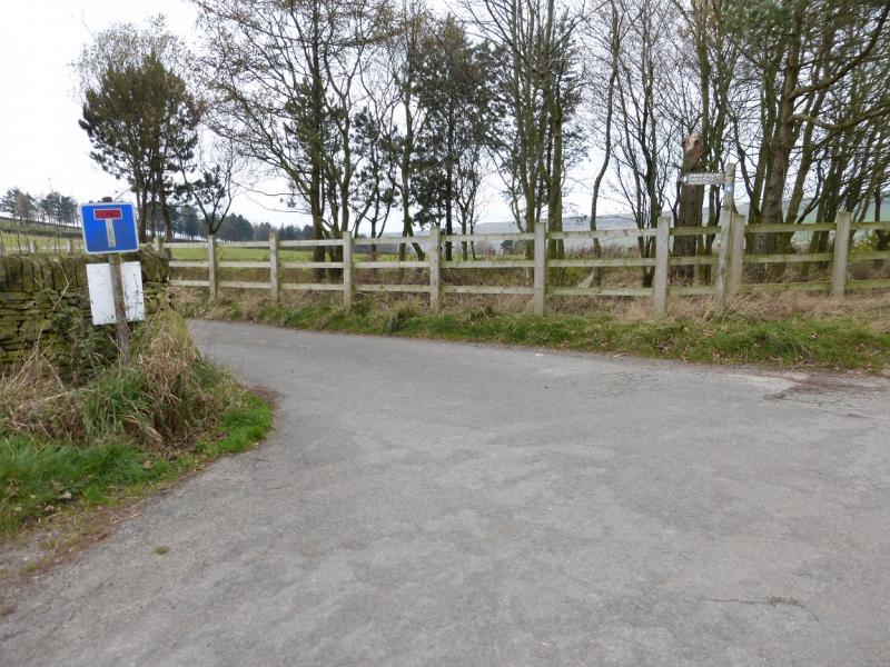
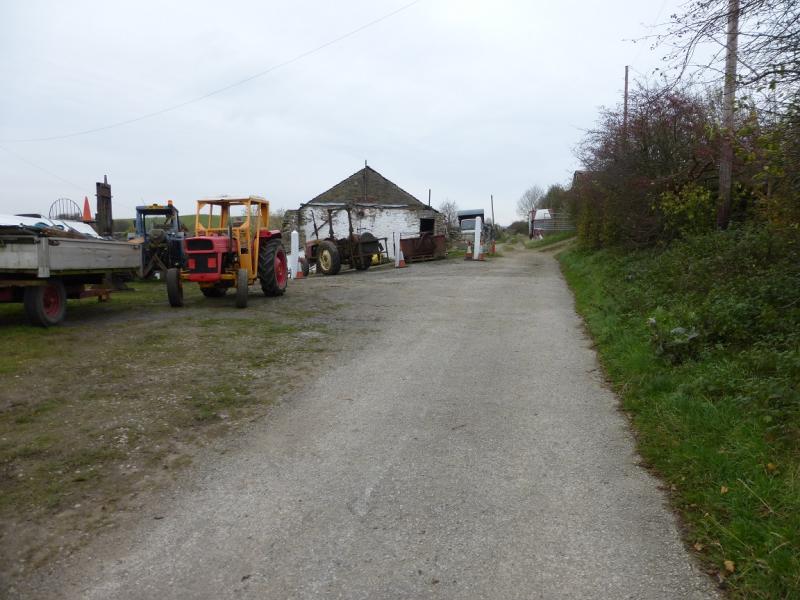
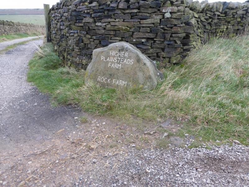
Casual gravel verge parking on minor road from Plainsteads Farm which is on Monk's Road which leaves the A624 Hayfield to Glossop road about 400 m south of the Grouse Inn. Monk's Road starts on the highest point of the A624 and is signed for Charlesworth. Plainsteads Farm is about 0.7 miles down the Monk's Road.Coming from Buxton, take the A6 to Chapel-en-le-Frith then follow signs to Glossop. Coming from Chesterfield, take A619 to Baslow then A623 through Calver to Chapel-en-le-Frith then follow signs for Glossop. From Sheffield, take A57, Snake Pass, to Glossop then take A624 towards Hayfield.
Distance/Time
13 km About 3 – 4 hours
Peaks
Lantern Pike, 373 m, SK 026 881.
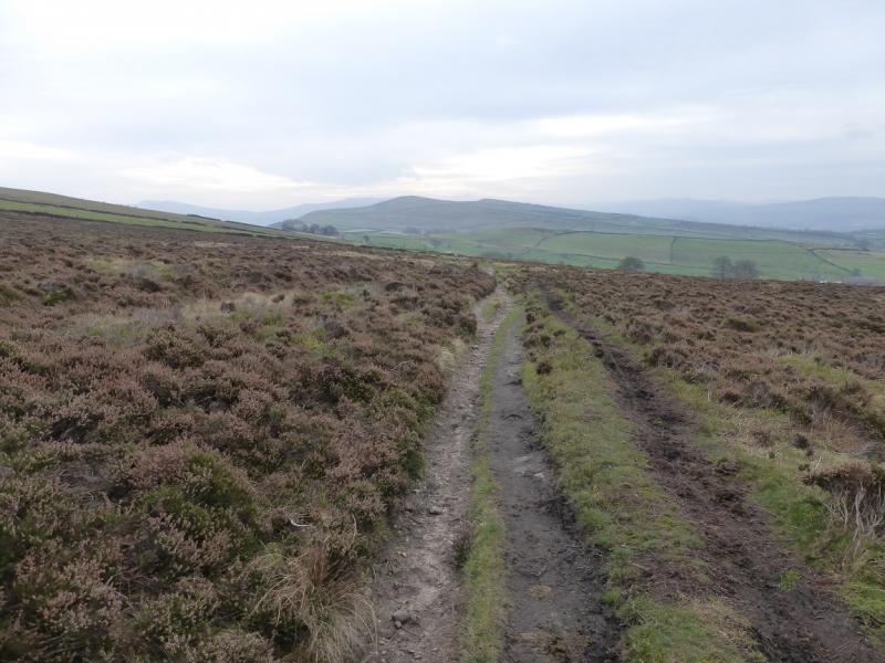
The rest of the walk is on edges, ridges and open moorland.
OS Outdoor Leisure 1: Dark Peak. OS 110 (1:50 000).
Introduction
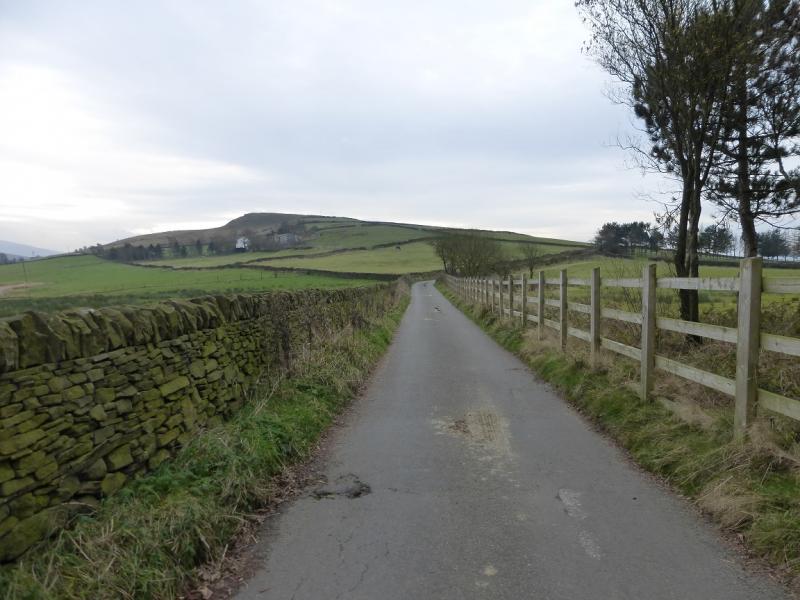
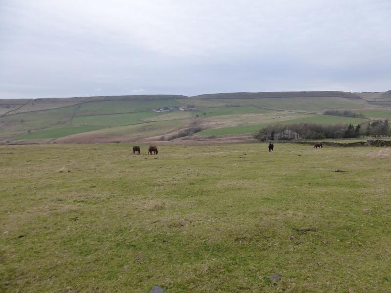
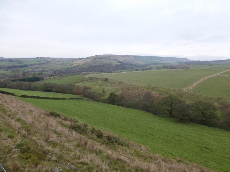
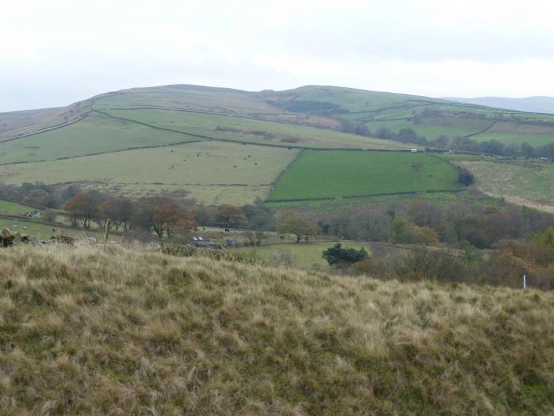
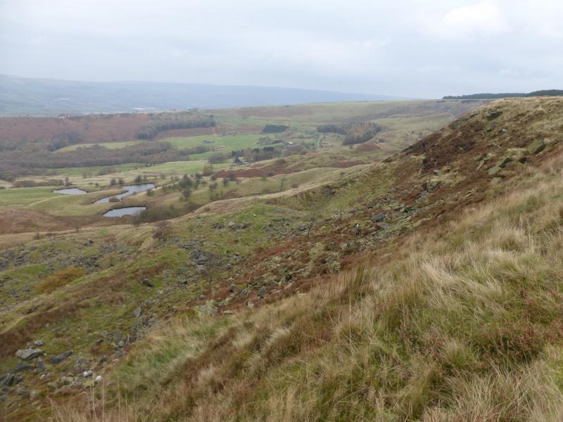
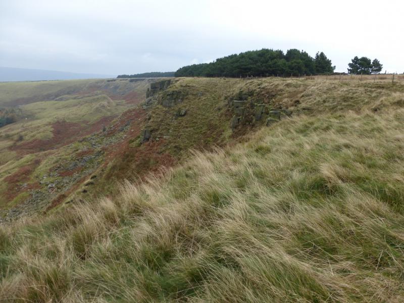
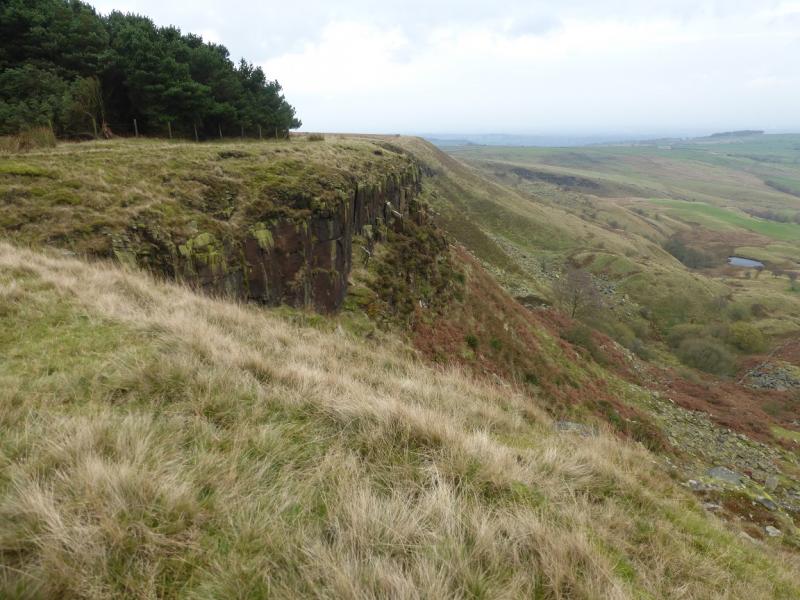
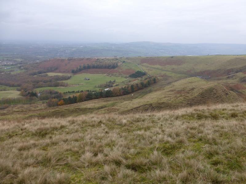
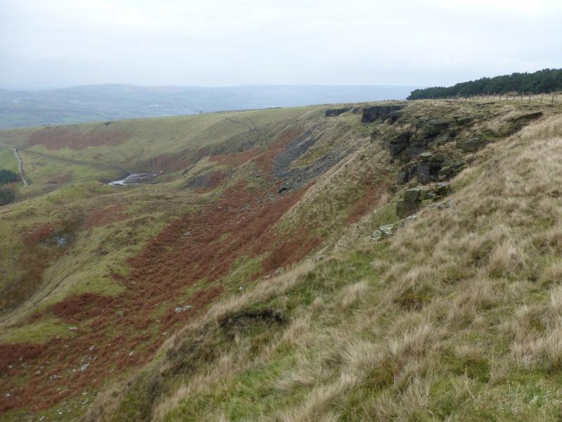
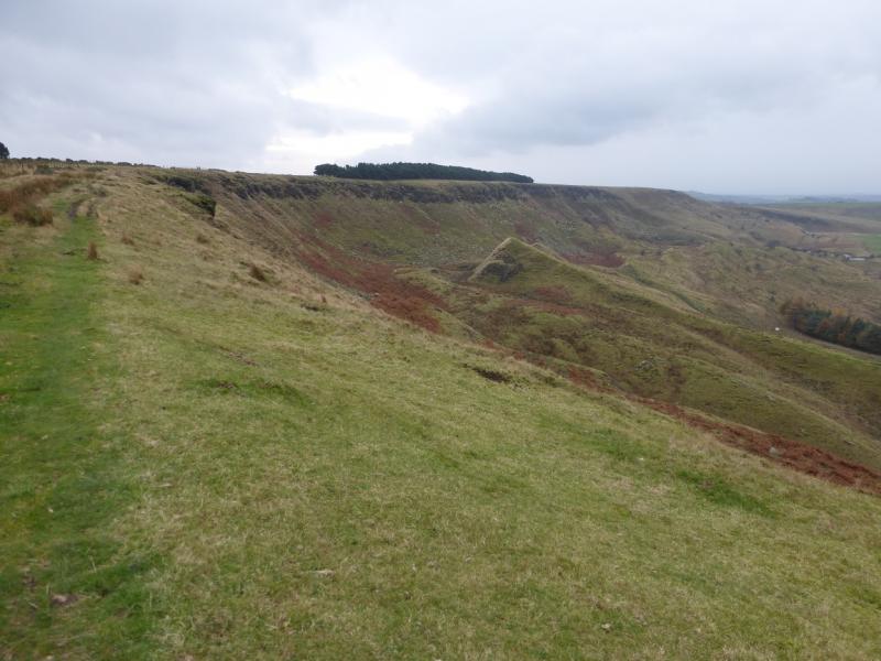
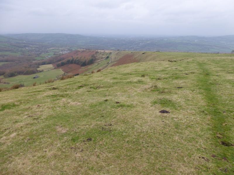
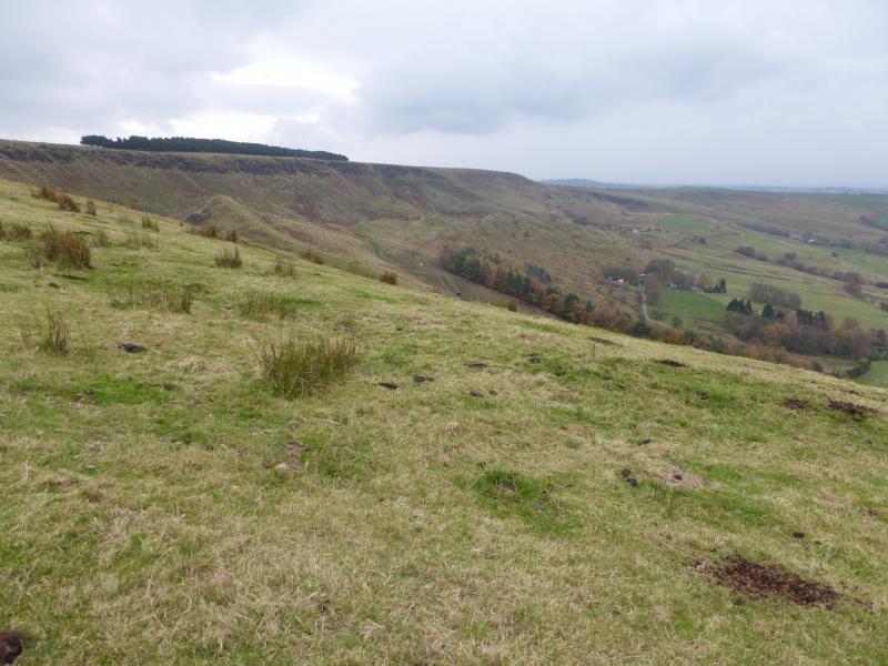
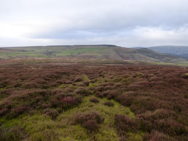
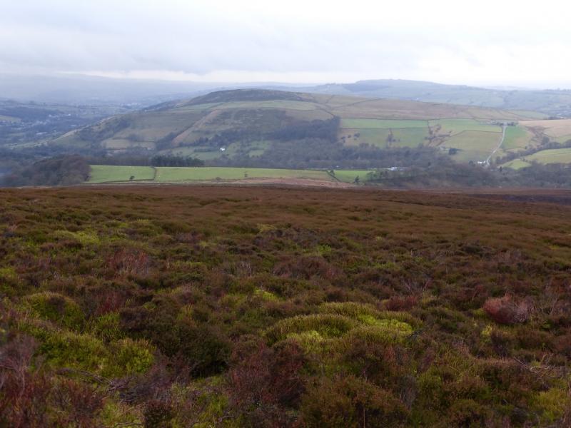
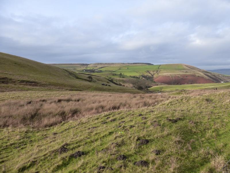
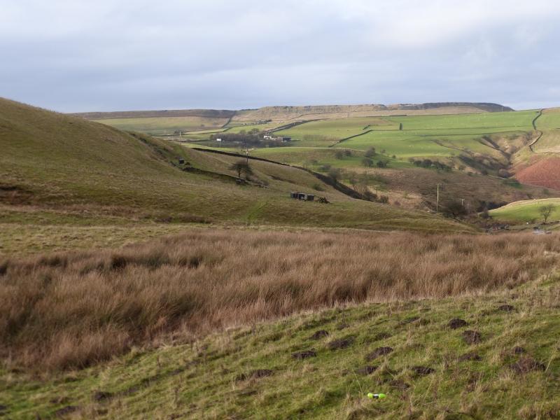
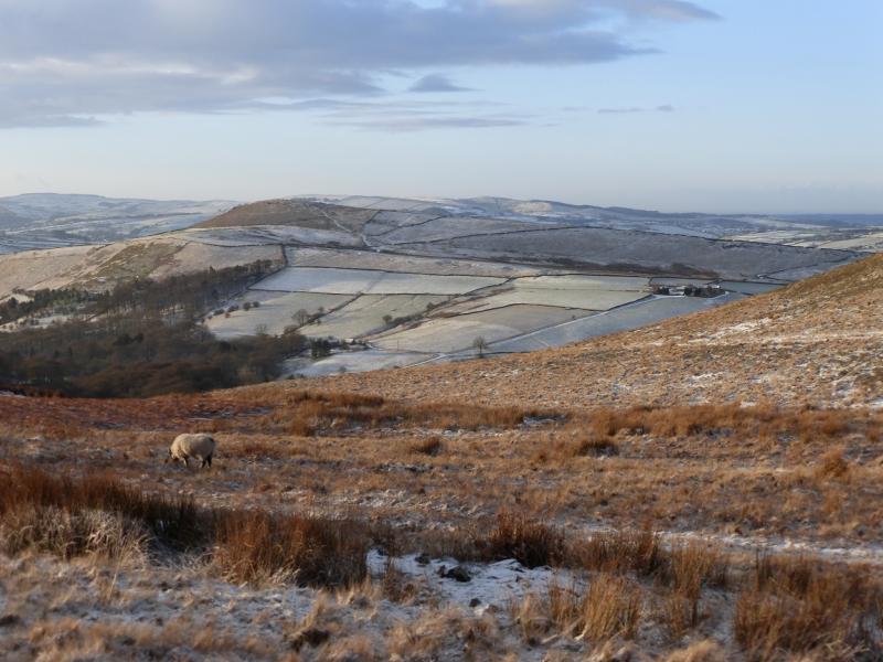
This is a pleasant walk ideal for a short winter's day. The going is generally good on signed paths and bridleways. On a clear day, there are excellent views to Mill Hill, Kinder, South Head, Chinley, Bleaklow and Higher Shelf Stones. The second half of the walk goes along Coombes Edge which is the NW edge on a ridge where Cown Edge is the on the SE side.
Route
(1) Take the tarmac bridleway going left just after the parking place. Follow this to a corner. Go ahead, through a gate, and follow a path roughly S. Before long, reach another bridleway going SSE and follow it for just over 1 km to reach the foot of Lantern Pike where there is a multi path sign post. Follow the Lantern Pike direction across a grassy field then on to a bridleway. Soon after, a path fork right signed for Lantern Pike. Follow this up and soon reach the view indicator which is the summit of Lantern Pike, 373 m.
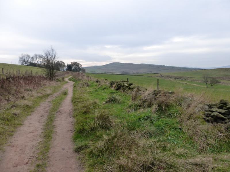
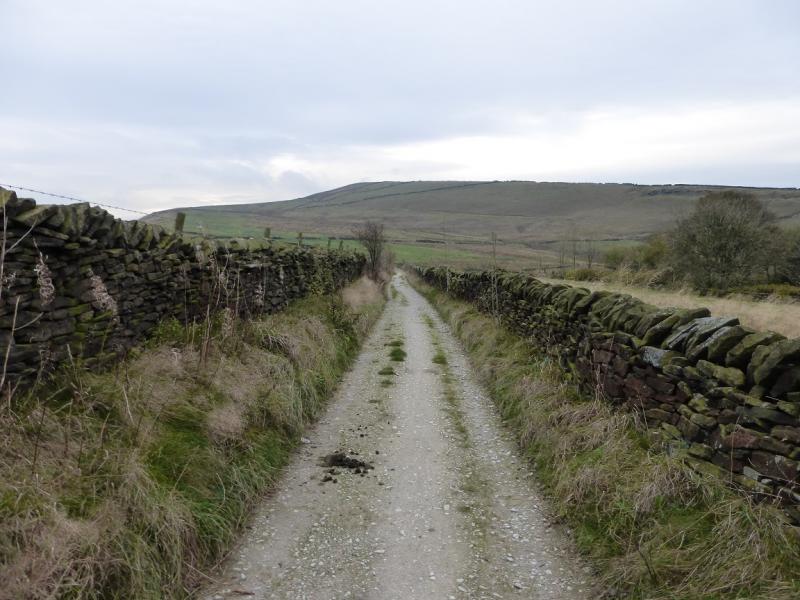
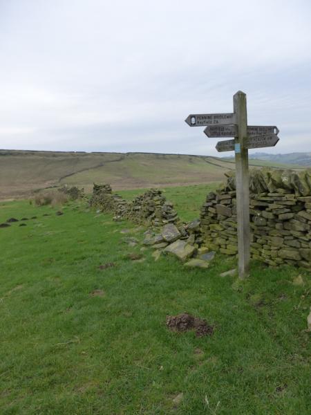
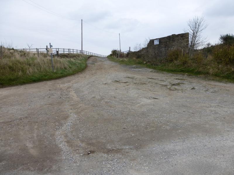
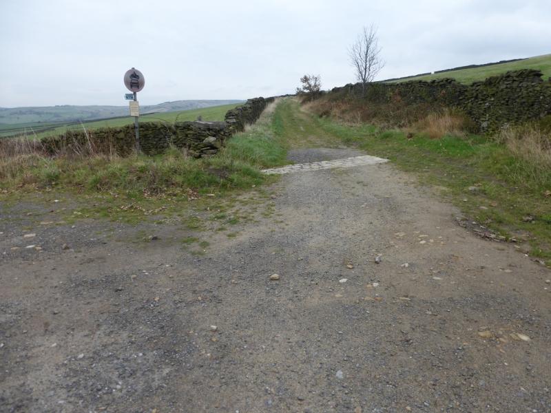
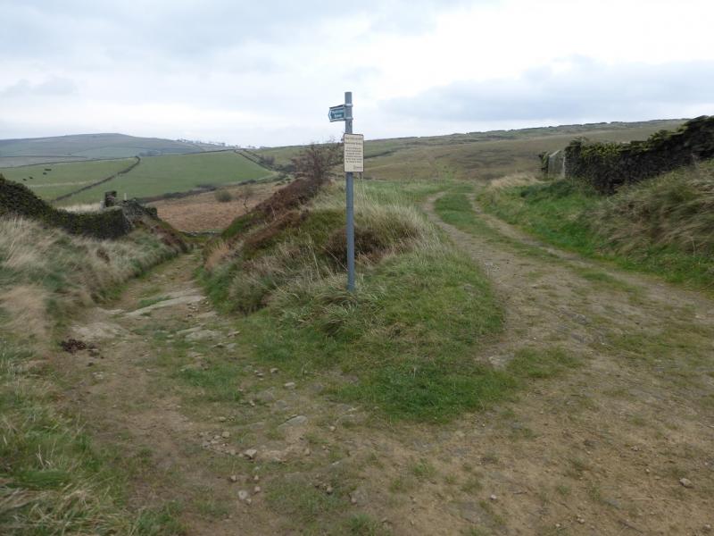
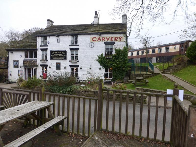
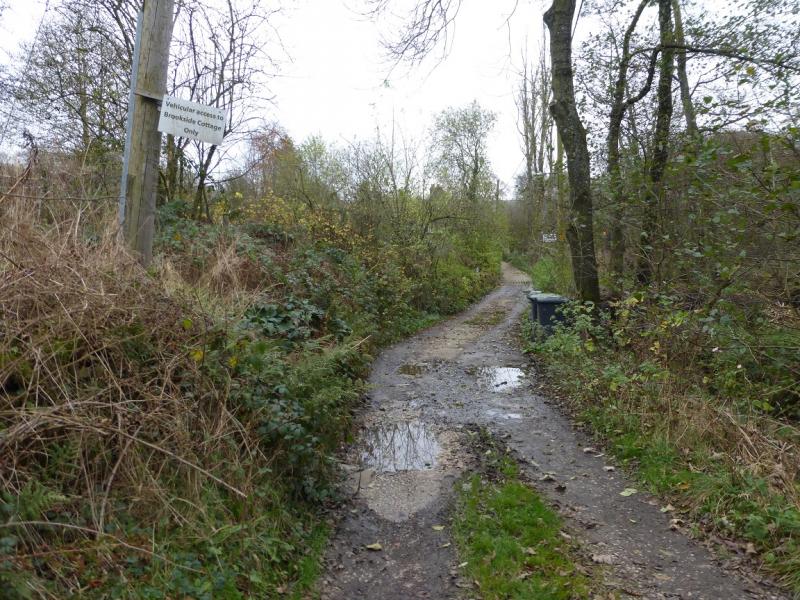
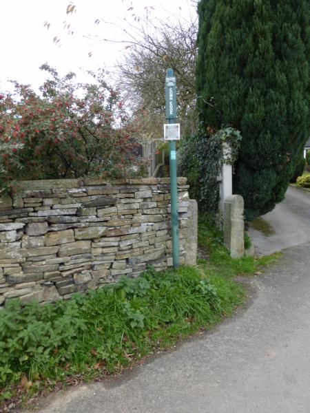
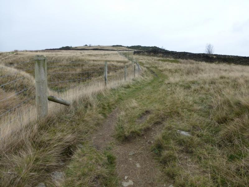
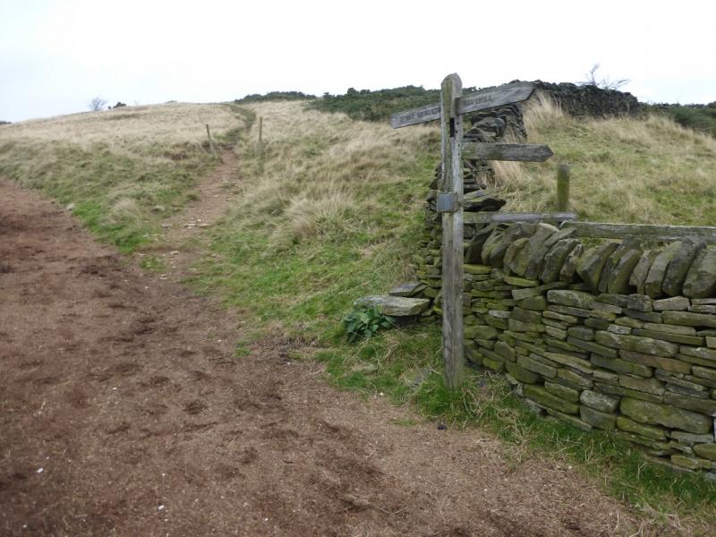
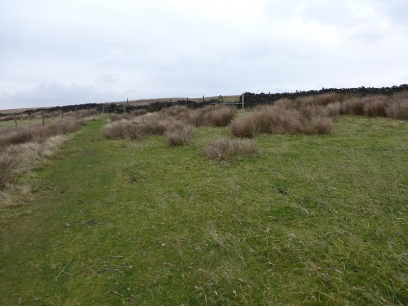
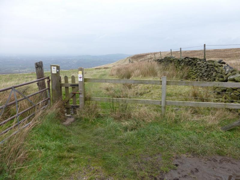
(2) Continue ahead, on the obvious path and follow it down, roughly N with a left turn at a wall, soon after which the bridleway is rejoined. Turn right and continue down to reach a track/tarmac road and turn right. Continue to reach a minor road at a row of terraced cottages. Opposite these is an interesting sign about parking. Turn right, past the de-restricted speed sign and walk uphill for about 400 m to reach a very wide opening to a track on the right. Walk up the track past Wethercotes. Soon after, ignore a left turn and continue ahead. Further on, the track splits. Take the left fork going downhill and follow this towards Rowarth to reach the start of a tarmac road. Continue on the road to reach the Little Mill Inn which has a Pullman coach behind it. Go past the Inn and its car park then turn right up a rough track after the first house. Follow the track/path to reach a road near an old red telephone box. Walk up the road to a T junction. Turn right and soon after reach the narrow path signed for Cown Edge which is on the left. Follow the path up past the houses and continue upwards heading roughly N. There are useful signs at key junctions. The path is slightly to the west of the crest on a grassy strip. When the path crosses a very obvious track which is in a groove, turn left and descend slightly to Coombes Edge then go right through a small gate to gain the path going N along the edge. Follow this path along the edge until it curves around to the W. By now, Monk's Road should be close (under 100 m) and visible and can be reached via a stile and path. Once on the road, turn right and follow the road for about 1.3 km, past Sitch Farm until the track going to Higher Plainsteads Farm is reached. Cross the old fashioned stile on the left and the car park should be visible at the bottom of the field.
Notes
(a) This walk took place on 6th November, 2014.
Photos - Hover over photo for caption. Click on to enlarge. Click on again to reduce.