Get Lost Mountaineering
You are here: England » Lake District » 5 Northern Fells
Blencathra via Mungrisdale Common & Blease Fell from the Blencathra Centre
Blencathra via Mungrisdale Common & Blease Fell
from the Blencathra Centre
Start/Finish
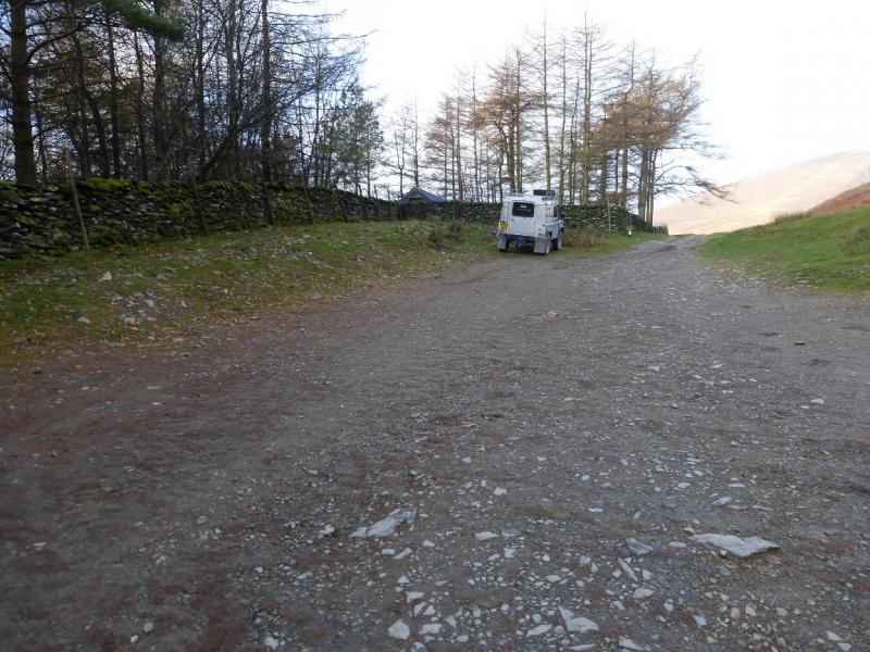
Car parking area just past the Blencathra Centre. From Keswick, take the A66 towards Penrith. A few miles from Keswick, turn left into Threlkeld village. Drive through the village until a left turn signed for the Blencathra Centre is reached. Follow this minor tarmac road to where it enters the centre. Go straight ahead, on a rough track (drive slowly), to reach the car parking area. There is space for about 12 cars so arrive early during the busy season otherwise you may have to park some way back along the road.
Distance/Time
10 km 4 – 5 hours.
Peaks
Mungrisdale Common, 633 m, NY 312 292.
Blencathra, 868 m, NY 323 277. OS 1:50 000, Sheet 90
OL5 North Eastern Lakes and OL4 North Western Lakes
Introduction
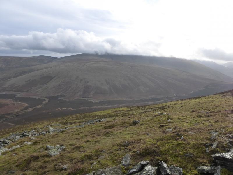
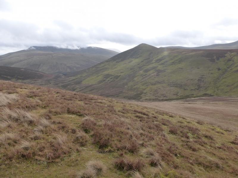
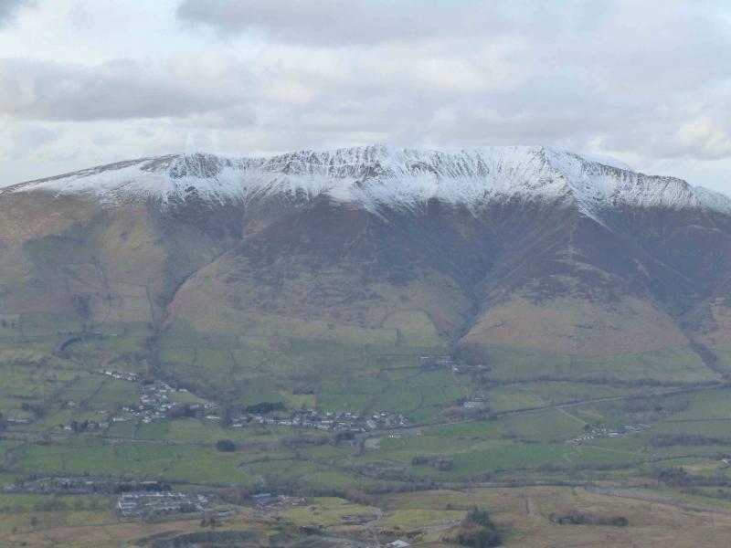
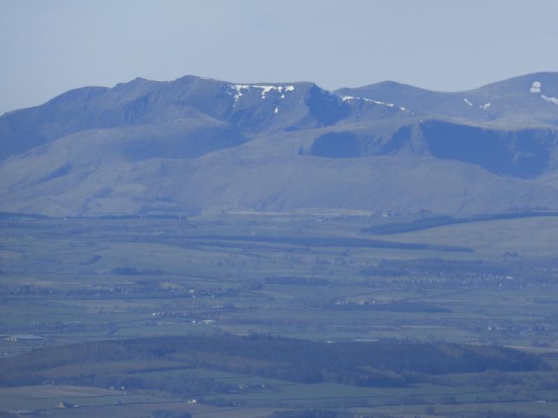
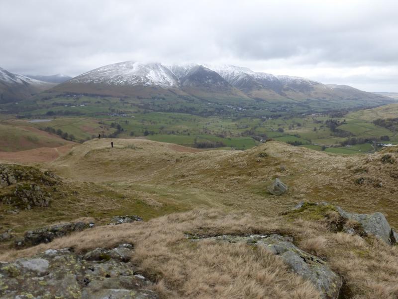
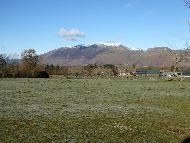
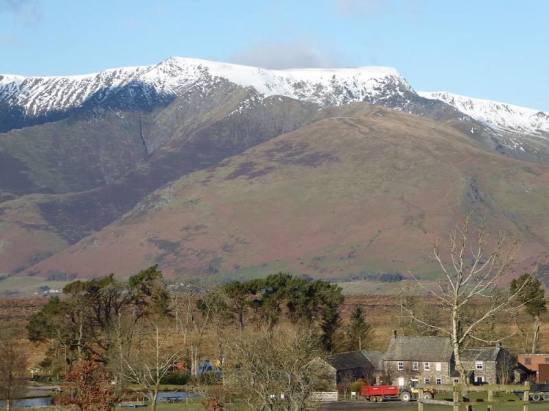
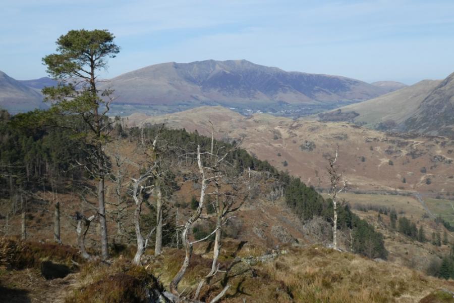
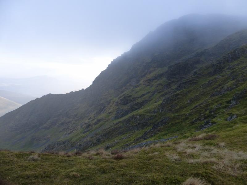
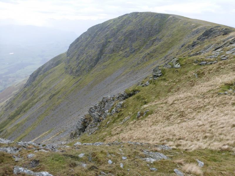
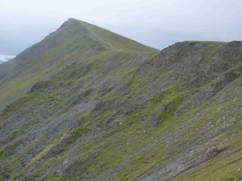
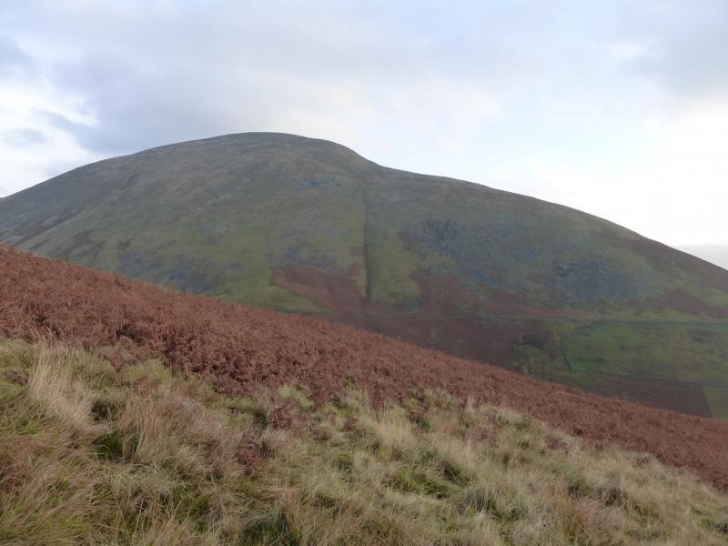
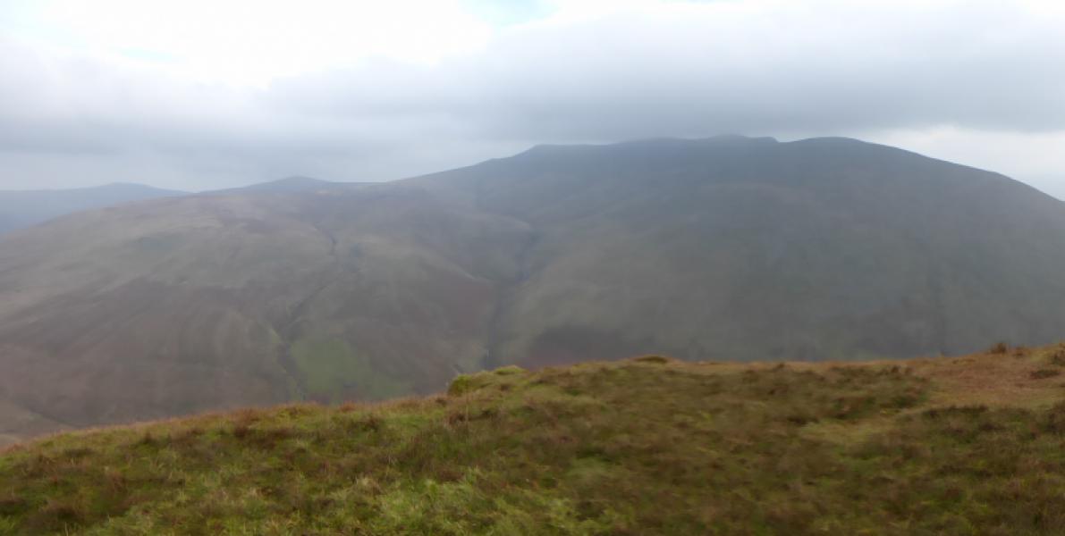
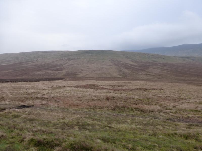
Blencathra is a magnificent mountain, especially when seen from the south where it presents a series of ridges separated by deep gullies. The finest route up Blencathra is via Sharp Edge (posted as a separate walk) but this can be intimidating for many. This route is, probably, the gentlest circuit available to take in Blencathra and takes one around to the back (north) of Blencathra where there is much wild and unspoilt scenery. The route goes along the Blencathra crest so there are plenty of views down the south facing gullies and ridges. On the north side, the ground is hardly rocky at all and is, essentially, high moorland which can be wet underfoot but there are no major bogs. On a clear day, views are outstanding and include Lonscale Fell, Little Man, Skiddaw, Great Calva, Clough Head, Derwentwater, Grisedale Pike and many more. Even the coast can be seen. Mungrisdale Common is hardly a separate summit but just a very minor rise on a long broad ridge. When walking from Mungrisdale Common towards Blencathra, the height lost is, at most, 15 m!
Route
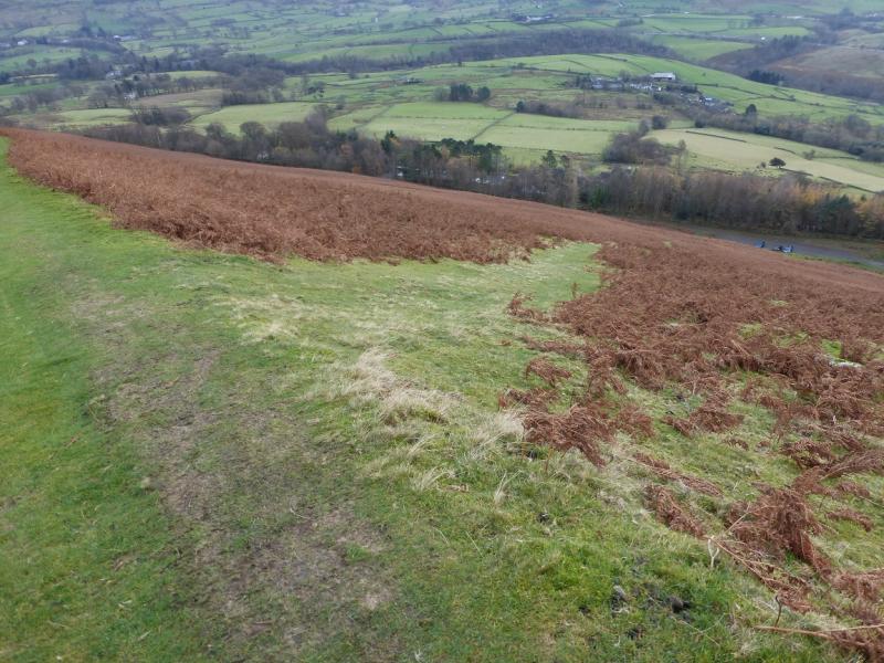
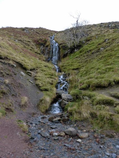
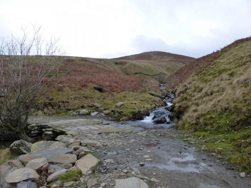
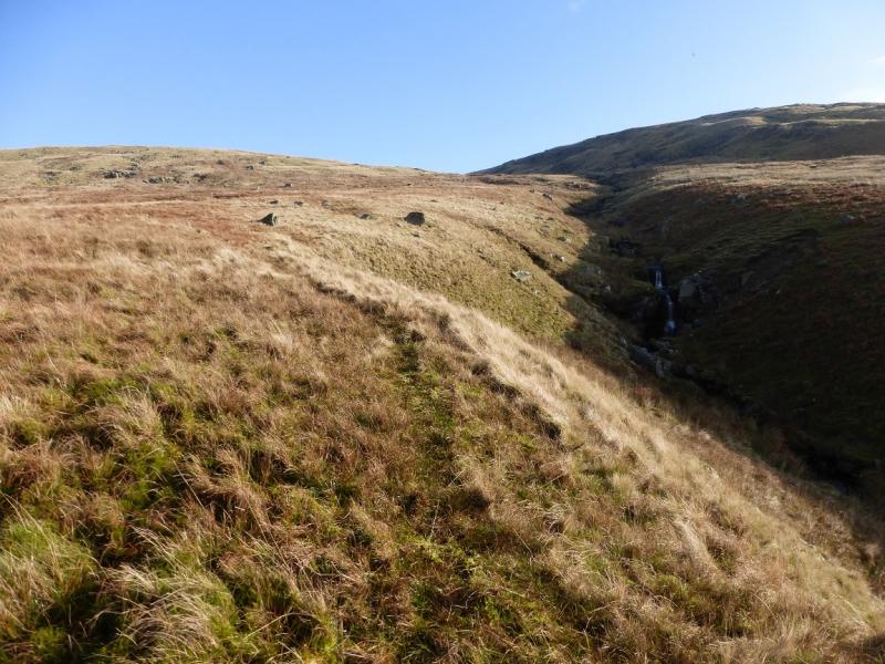
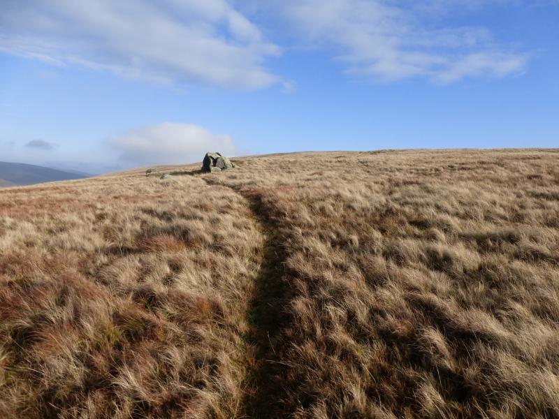
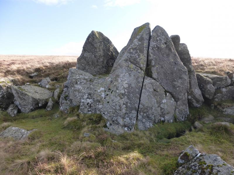
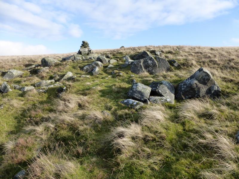
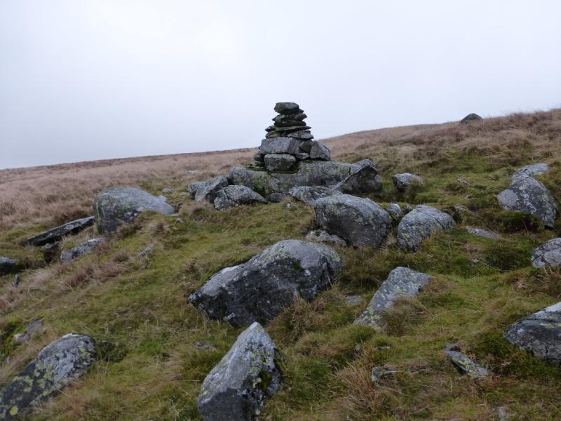
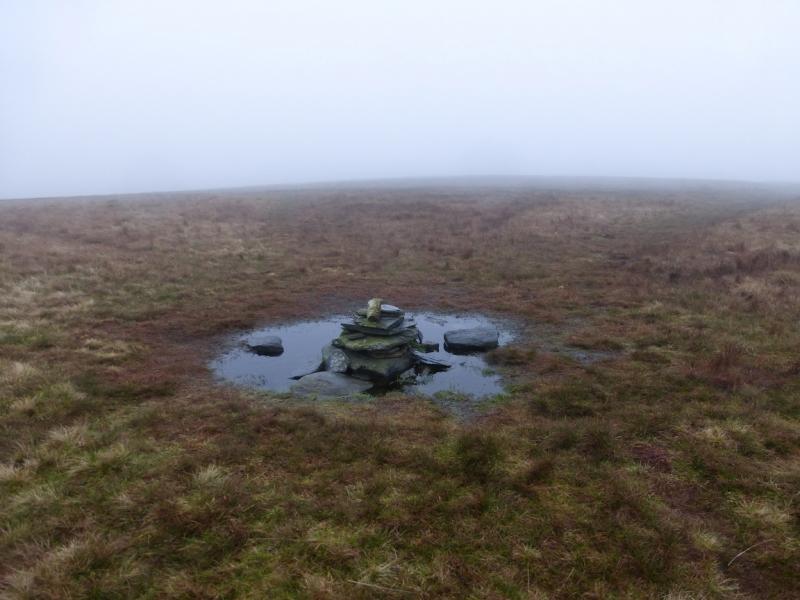
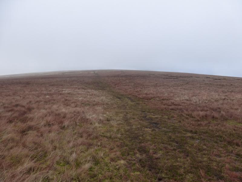
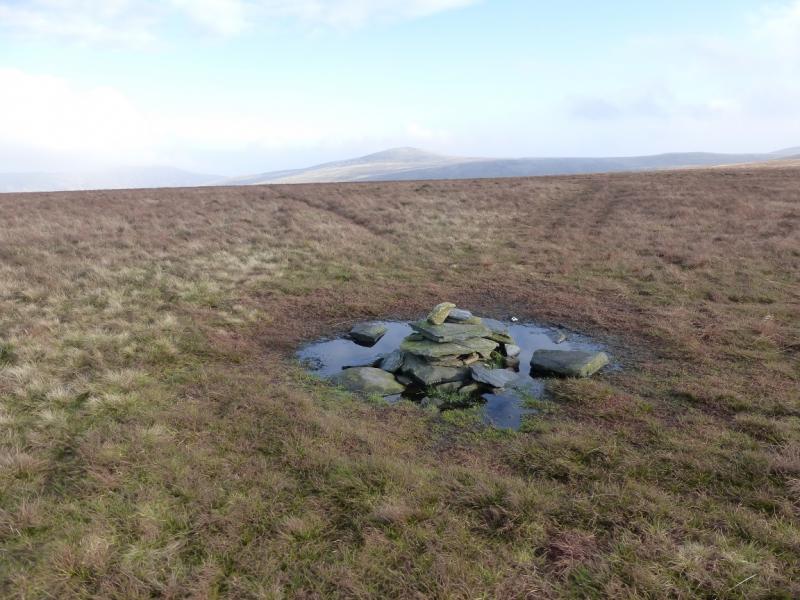
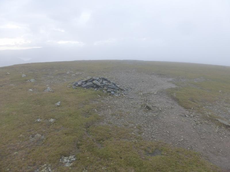
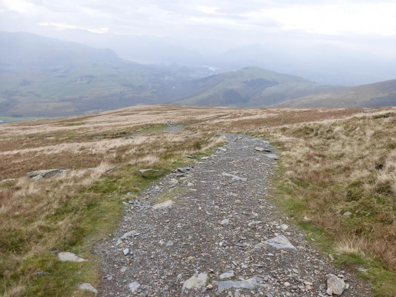
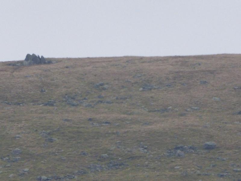
(1) From the car park, continue along the track which soon turns N, well above Gleneraterra Beck with the imposing Lonscale Fell on the other side. After about 1.5 km, a minor stream with a waterfall is crossed. About 750 m further, Roughten Gill is crossed by a low bridge. Continue for about another 250 m to reach Sinen Gill where the tracks turns sharply left. Cross the gill then pick a way up the crest of the far bank. There is a faint path which roughly follows the crest but it can be difficult to find. If wanting to visit the Cloven Stone then gradually drift left or take a traverse path just before the gradient eases. If drifting left, you might reach a path going uphill which leads to the Cloven Stone. If a pointed cairn is reached higher up then the Cloven Stone has been missed. From the Cloven Stone, a good path leads up to this cairn. From the cairn, a faint path goes uphill and joins another path before reaching a small cairn, often in a puddle, which marks the summit of Mungrisdale Common, 633 m. On 19/11/14, 8 paths converged at this summit! None of these are probably on any map!
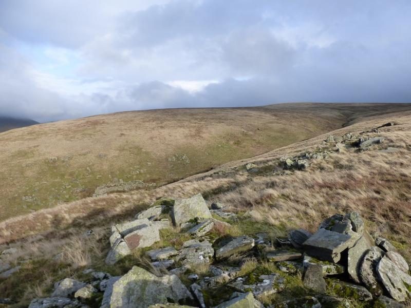
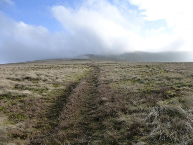
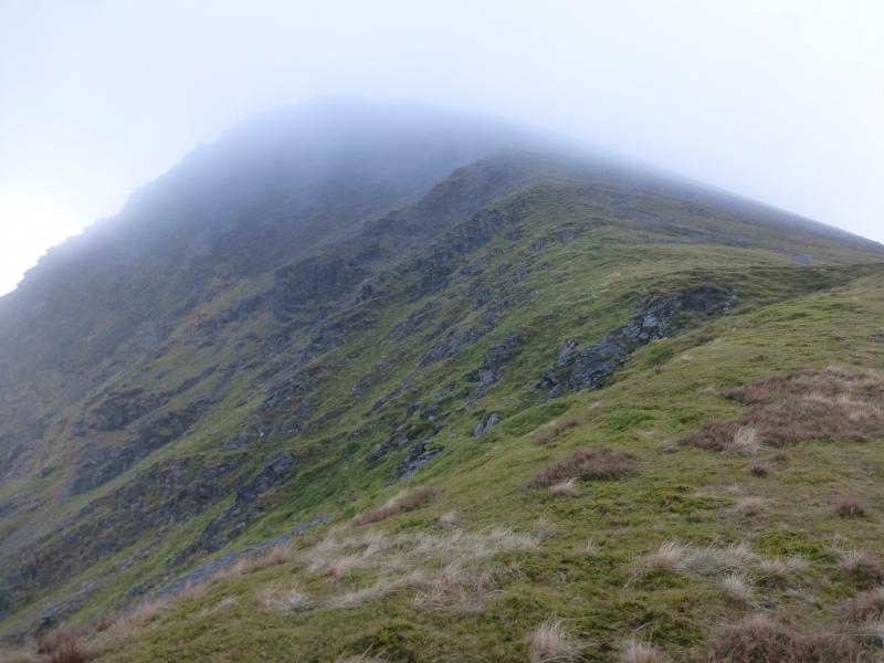
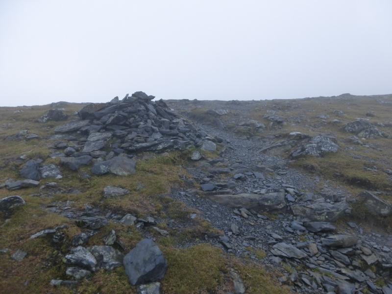
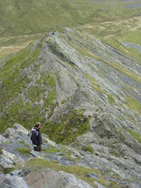
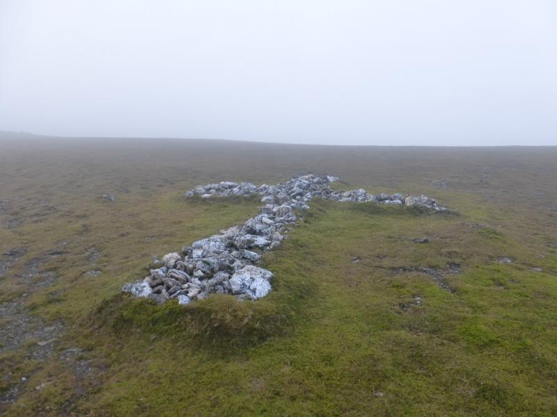
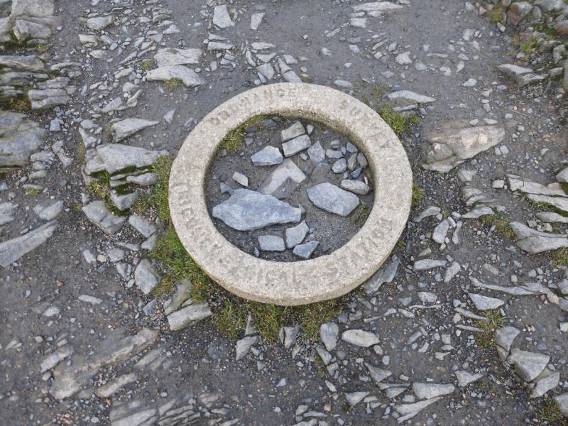
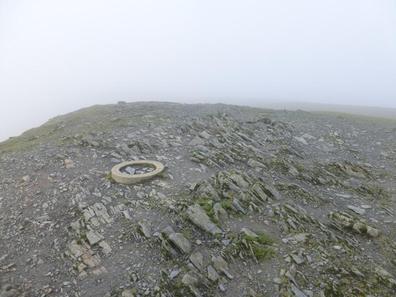
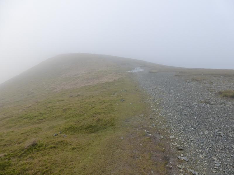
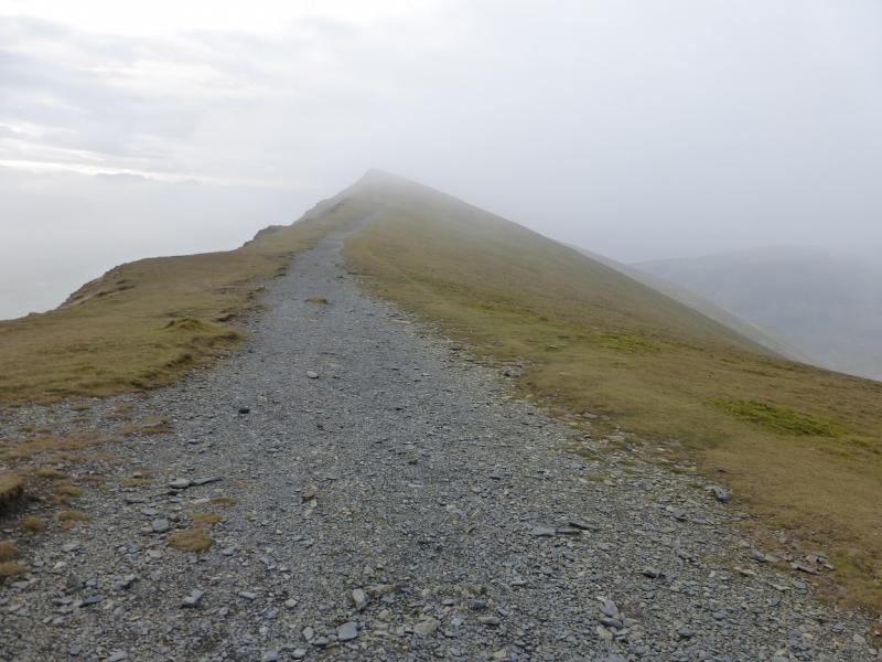
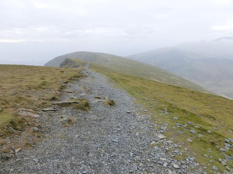
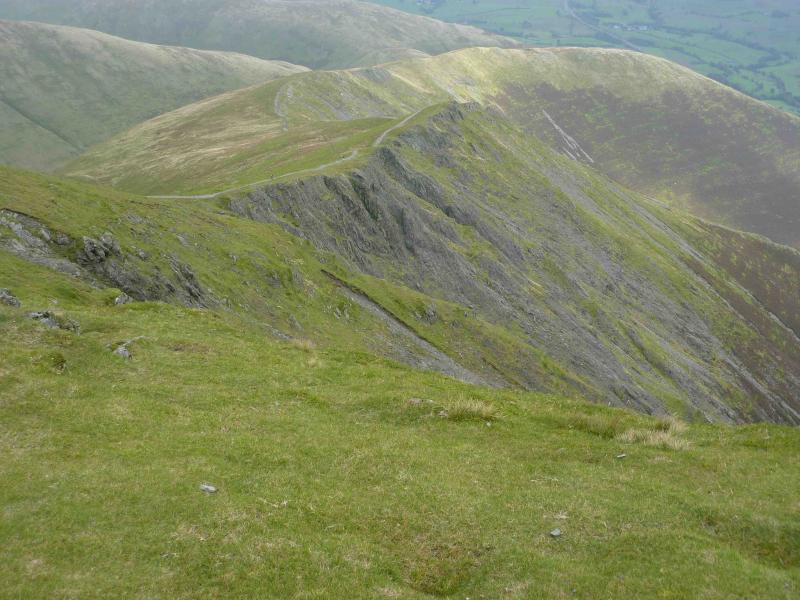
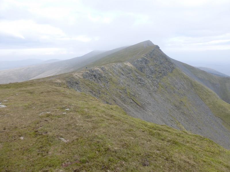
(2) Follow a rough grassy track going mainly SE on almost level ground at first. This is fairly easy to follow, although wet in places, until the angle increases and the grass shortens when it becomes more difficult to follow. Continue in the same direction and soon reach a major path to the N of Foule Crag. Turn right, S, and follow the path, steep in places, up on to the crest to a cairn which is the top of Foule Crag. Do not go left as this leads down the very steep Foule Crag then on to Sharp Edge! Go right, on almost level ground to reach a cairn. Continue on the path passing a few more cairns until a large cross, formed on the ground is reached in the middle of a plateau. In mist, it can be confusing on this plateau and map and compass may be needed. In clear weather, head for the edge path on the left. This is just over the edge so is not visible until almost reached. In mist, heading SW should lead one to the main edge path if it has been lost. Some of the cairns can add to the confusion. There is only one significant flat area so if that is where you are, go SW! Follow the main path S then make a short ascent to a T junction where a path goes left and right. This is Blencathra summit, 868 m, correctly called Hall's Fell Top. It is notable for having a small circular concrete ring in the ground at the highest point.
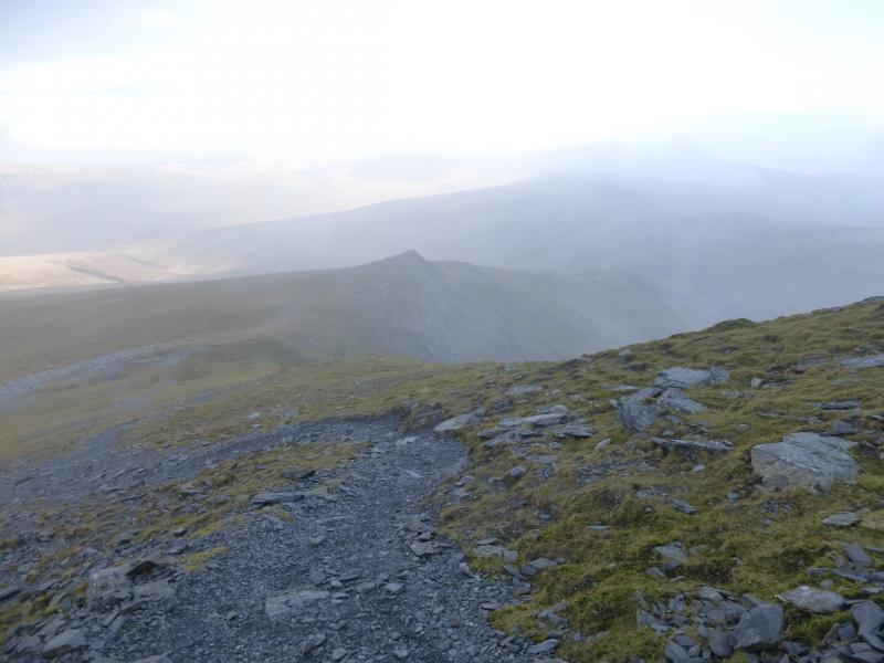
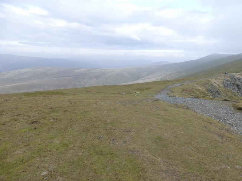
(3) Turn right, W then SW, on a very obvious path and follow it along the edge then up on to Knowe Crags which is a small grassy plateau with a small cairn. Continue on the very obvious path, descending mainly SW. The path becomes a series of zig zags on gravel. These finish at a small cairn where the path splits. Take the right fork and follow the grassy path across then down. The Blencathra Centre is out of sight so cannot be aimed for but, if clear, Latrigg is a useful indicator. When the cars become visible, the path splits. The shorter, but steeper, one goes directly to the car park. For a gentler alternative, continue then go right.
Notes
(a) This walk took place on 19th & 20th November, 2014, and 18th February, 2001.
(b) If one only wishes to visit Mungrisdale Common then a bicycle can be used to reach Sinen Gill and the route to Mungrisdale Common retraced back down to the track.
Photos - Hover over photo for caption. Click on to enlarge. Click on again to reduce.


 from Lonscale Fell traverse path.JPG)
 from Lonscale Fell traverse path.JPG)