Get Lost Mountaineering
You are here: Scotland » 02 River Tay to Rannoch Moor » Glen Lochay Hills
Meall nan Subh
Meall nan Subh from Glen Lochay – Glen Lyon watershed
Start/Finish
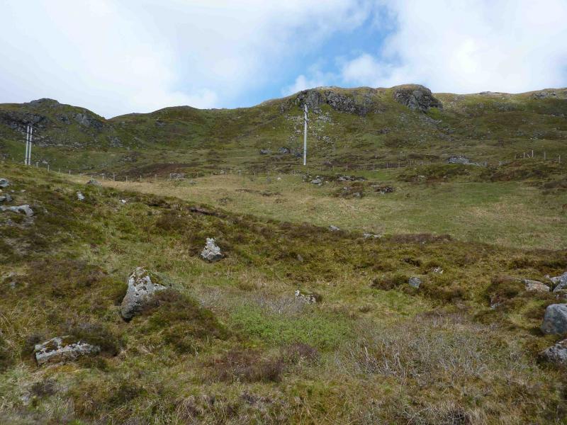
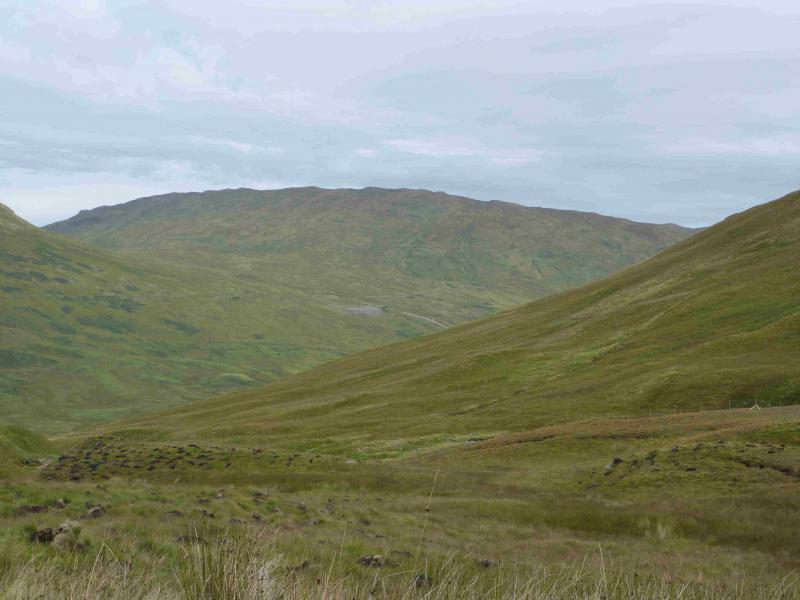
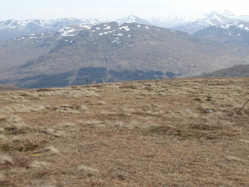
Drive up Glen Lochay from Killin to Kenknock then up the private road (usually open) which goes over to Glen Lyon. This is marked as a track on the map. The road is full of pot holes which can only be crossed a very low speed. In 2010, this road was facing imminent closure due to its deteriorating condition. In time it will revert to a track which will only allow access by bicycle or on foot adding considerably to the time for the walk. There is a gate (usually open) near to the top of the road beyond which is a small parking area on the left. The worst of the track is on the Glen Lochay side so access from the Glen Lyon side may be preferable although it could entail a longer drive via the Bridge of Balgie.
Distance/Time
3 km. Approx 3 hours.
Peaks
Meall nan Subh, 806 m, NN 460 397. OS Sheet 51.
Introduction
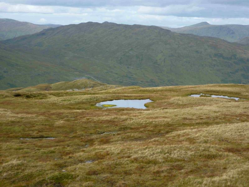
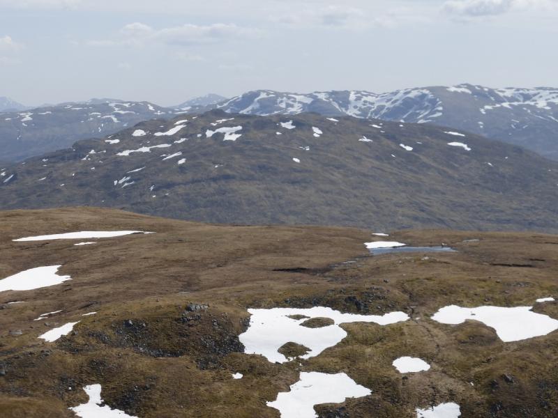
This is a fine little mountain which offers quick access and fine views in all directions including Meall Ghaordaidh, the Glen Lochay hills, the Glen Lyon hills and further. There is no really obvious path but plenty of strong hints of one almost everywhere. There is an obvious temptation to save this for a bad day – that would be a mistake.
Route
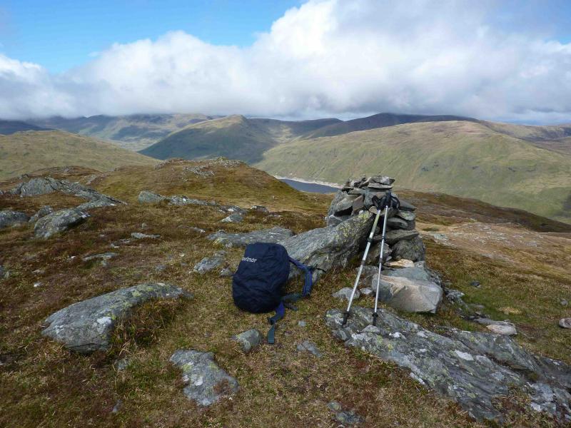
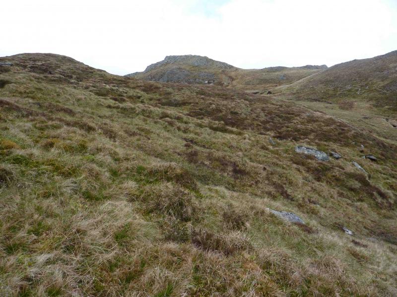
(1) From the gate follow the right hand side of a fence going up the steep sided grassy/craggy slopes. After a short distance, go through a gate at a fence junction and follow the left hand side of the fence up towards a large crag. Pass the crag on its left to reach a shoulder. Continue following the fence until it swings right. Continue ahead, ENE, and soon reach a flat peaty area. The summit is on the far left connected to a lower top on its right. Another top is nearer on the left. Contour NE to the right of this nearer top to reach the twin tops on the E side of the summit crest. The summit of Meall nan Subh, 806 m, is the N top of the two twin tops and has a medium sized cairn. The summit about 200 m NW of here has an iron post in a concrete base. There is also a finger cairn on a summit to the SE across the peaty area.
(2) Return by a similar route.
Notes
(a) This walk took place on 7th August, 2008 and 27th May, 2010.
Photos - Hover over photo for caption. Click on to enlarge. Click on again to reduce.