Get Lost Mountaineering
You are here: England » Lake District » 5 Northern Fells
Bowscale Fell & Bannerdale Crags Anti-clockwise from Mungrisdale Village
Bowscale Fell & Bannerdale Crags Anti-clockwise
from Mungrisdale Village
Start/Finish
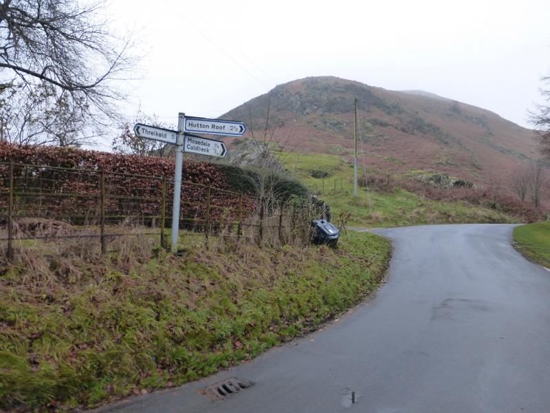
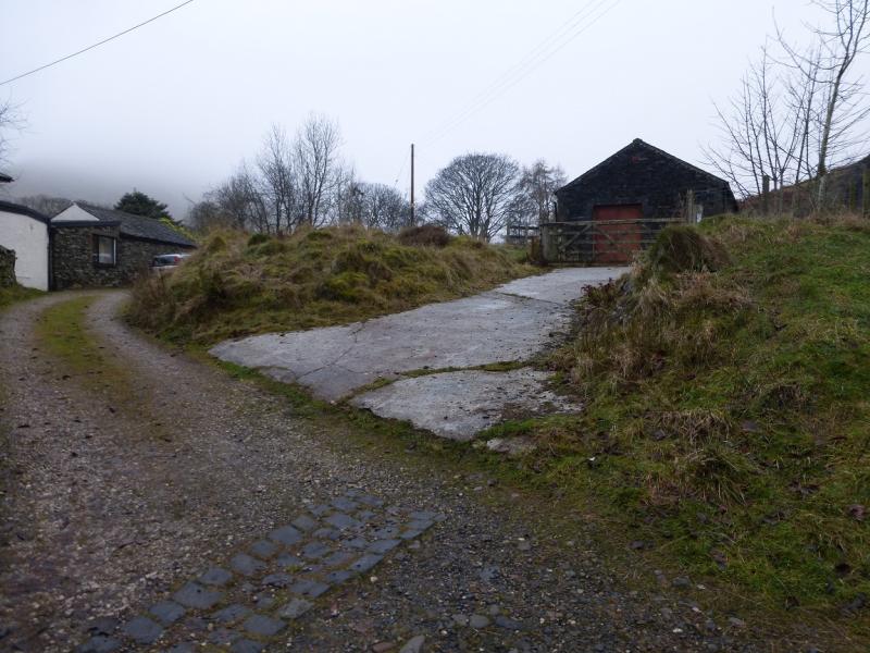
Mungrisdale village which is on the minor road to Caldbeck about 2 m north from the A66. From the A66 Keswick to Penrith road, the minor road for Caldbeck and Mungrisdale is about 7 miles East of Keswick and about 10 miles west of Penrith. There is car parking opposite the village hall and down the lane by the phone box but you must park on the opposite side of the lane to the phone box. In 2014, it was £2 a day in both spots.
Distance/Time
9 km About 3 – 4 hours
Peaks
Bowscale Fell, 702 m, NY 333 306.
Bannerdale Crags, 683 m, NY 335 291. OS 1:50 000, Sheet 90. OL5 North Eastern Lakes
Introduction
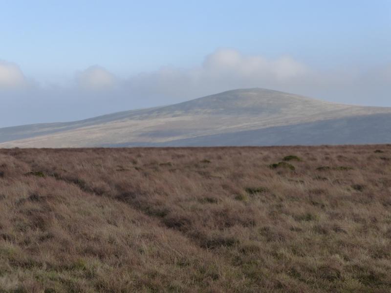
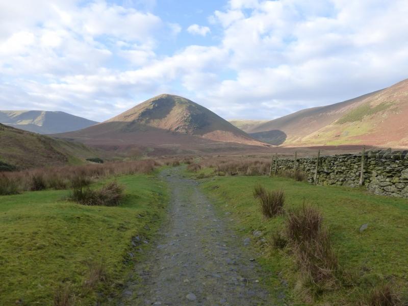
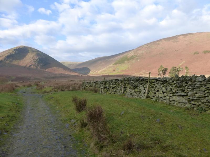
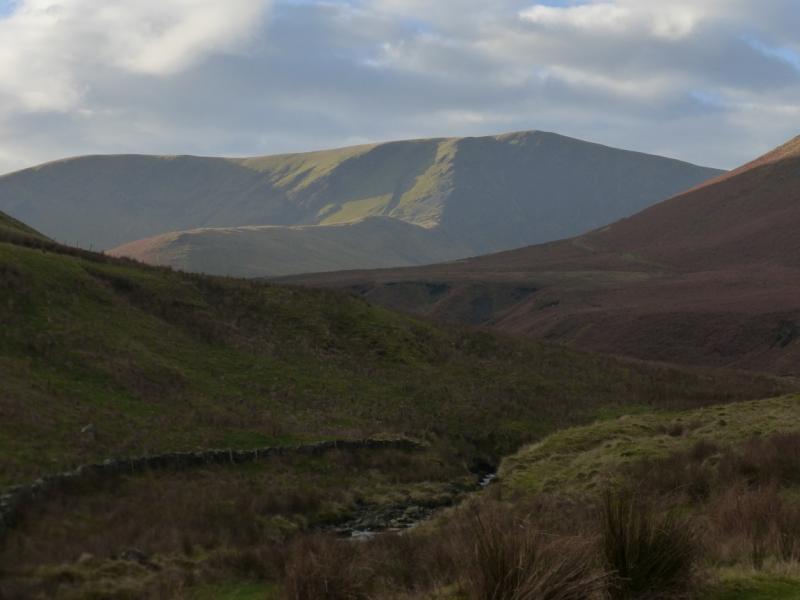
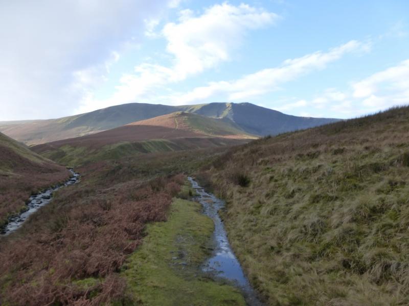
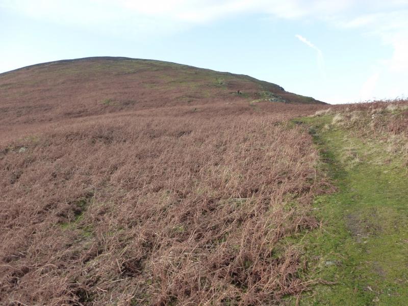
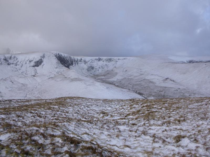
This is a fine walk and has excellent views on a clear day especially to Blencathra, Skiddaw, Knott, Carrock Fell and High Pike. Cross Fell may also be seen to the east as well as the lakeland fells south of the A66. The closest of these is Great Mell Fell. Much of the walk is on high moorland which, apart from the odd wet section, is pleasant to walk. The descent off Bannerdale Crags is on a path with lots of slate which can be slippery when wet. Navigation is relatively straightforward even in mist as there are paths much of the way except on the higher part of Bowscale Fell where navigation can be “challenging” in thick mist although there are several cairns for those approaching via its east ridge. The ascent path goes through some gorse bushes so shorts are not recommended!
Route
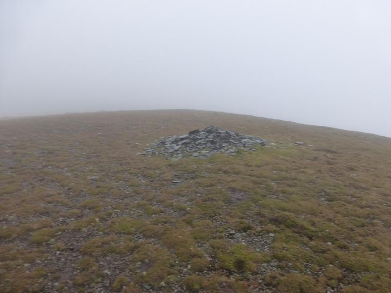
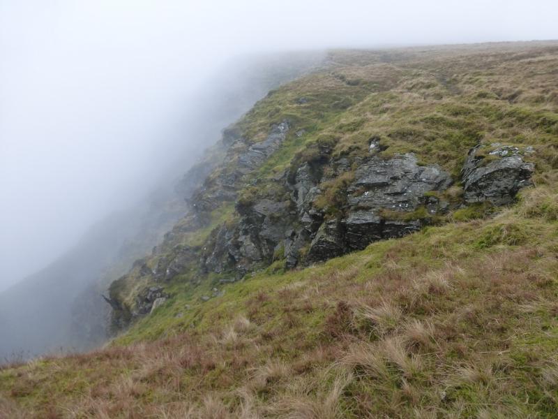
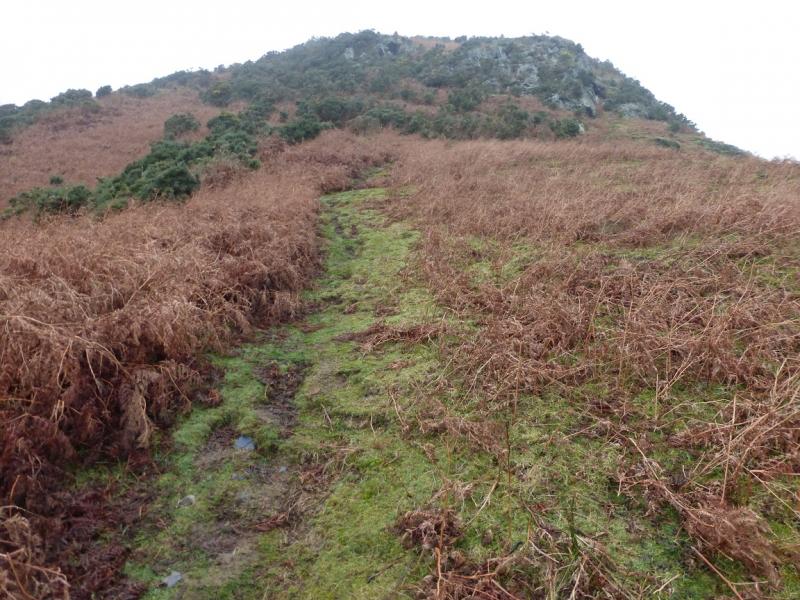
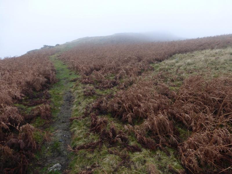
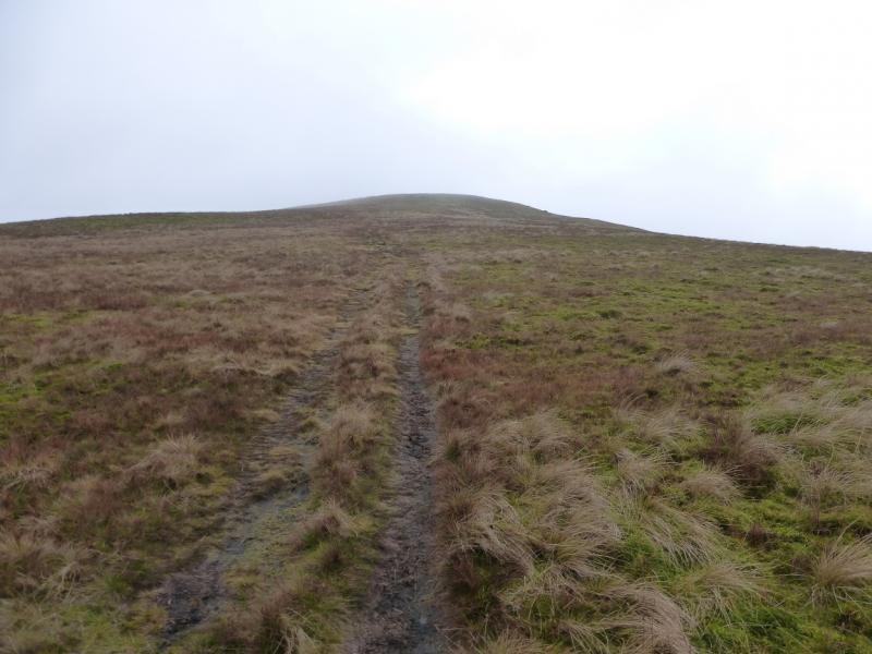
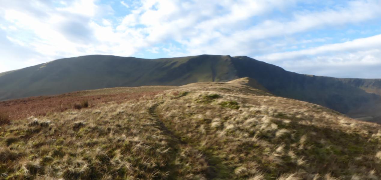
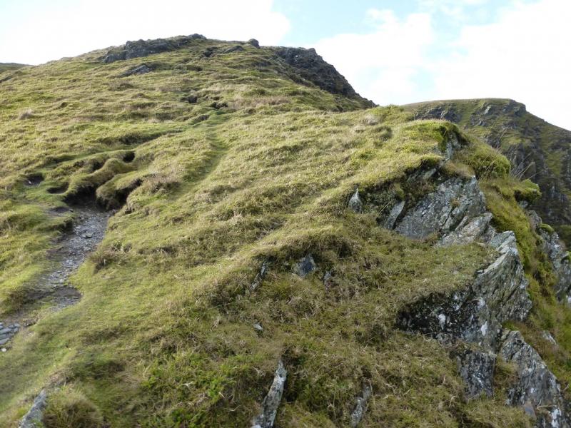
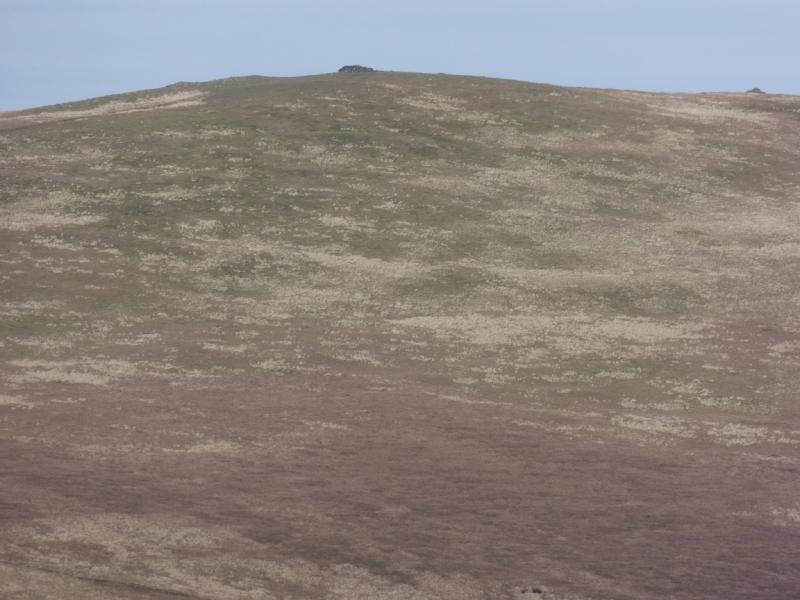
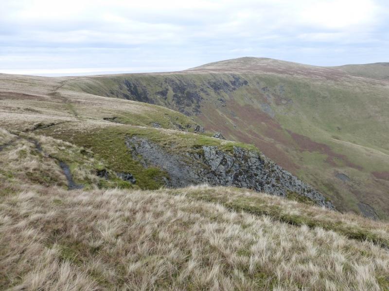
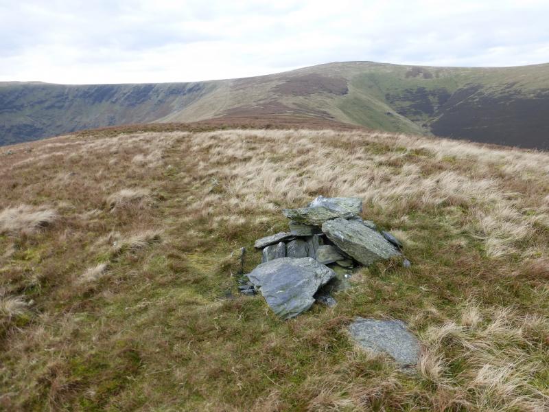
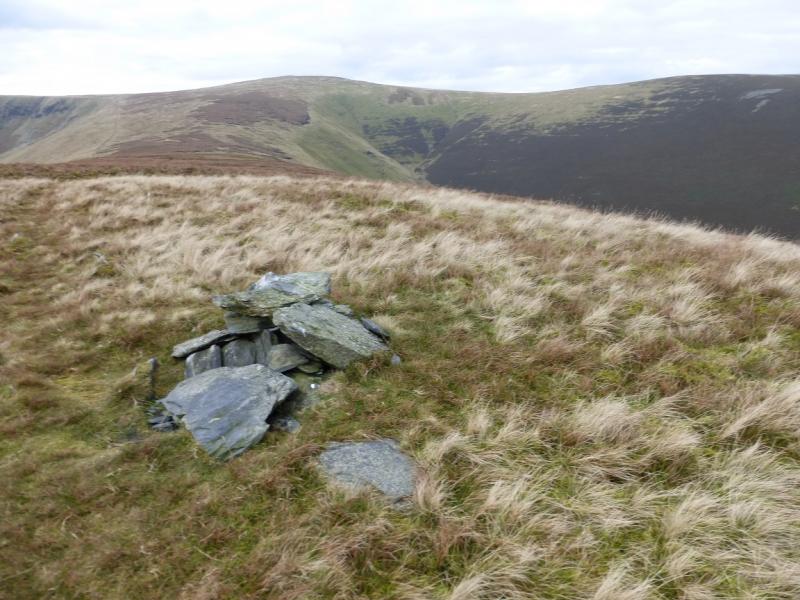
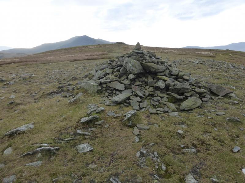
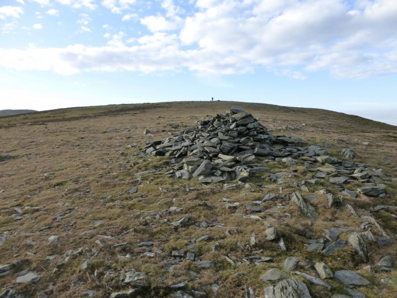
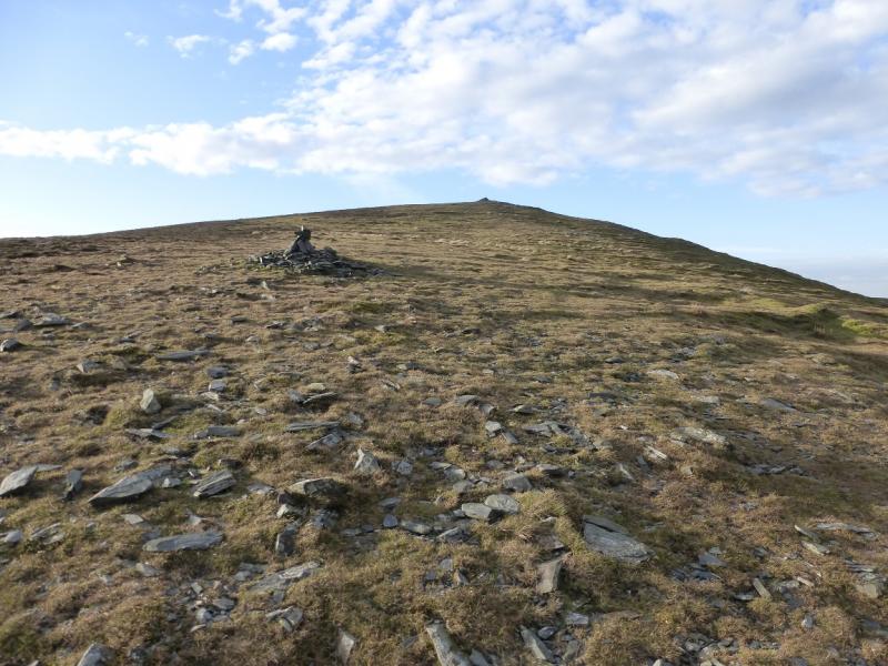
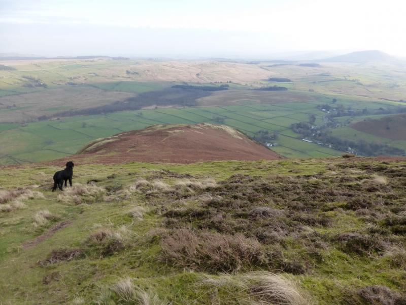
(1) Walk N up the Caldbeck road, past the church, until the right turn for Hutton Roof is reached at the end of the village. This turning is signed. Almost opposite the right turn, but a little further up the road, a lane goes off to the left. Go through the gate and enter the lane. There are houses to the left. To the right is a very low crag behind a small stone building. Walk just past the crag to pick up a path slanting diagonally up the hill. Follow the path which soon steepens and twists and turns its way through the gorse bushes. The E ridge is soon reached and the path continues along the crest; it is easy to follow. The path eventually reaches a cairn, the first of nine. In very thick mist, an inexperienced walker might mistake this for the summit but that is still someway off. Continue along the crest, gradually curving around to the SSW. There may be no obvious path in a few places. The sixth cairn is shaped like a pillar. The ninth cairn is a large shelter cairn which marks the summit of Bowscale Fell, 702 m; it seems to be just a little higher than the eighth cairn.
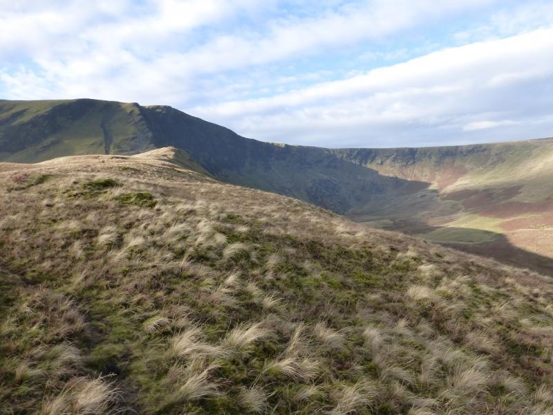
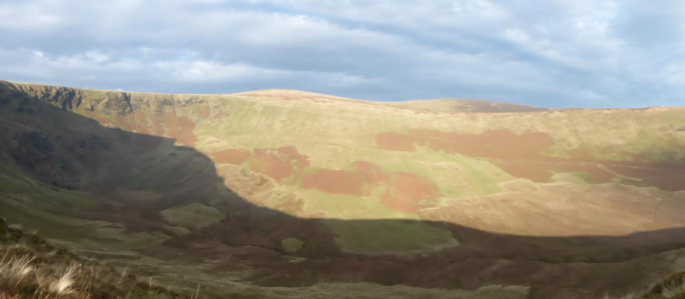
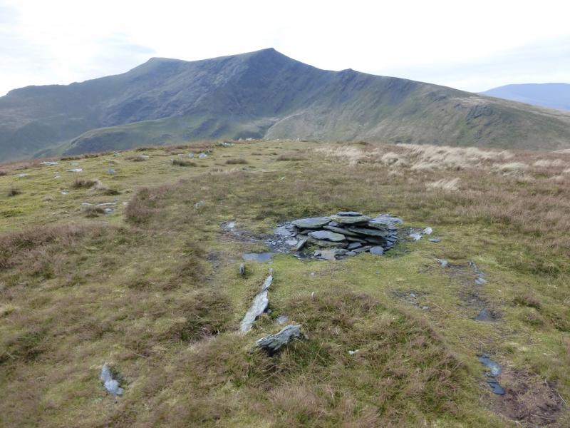
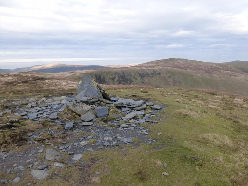
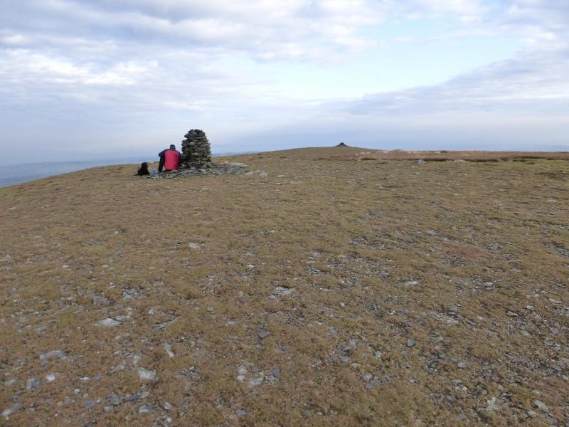
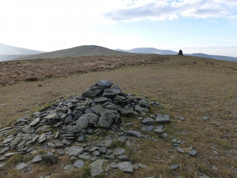
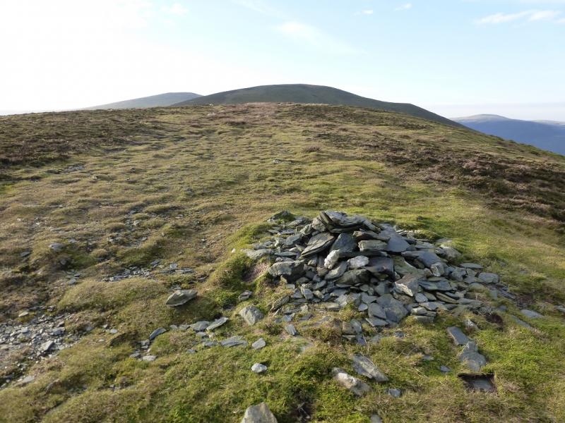
(2) There is no obvious path from the summit so walk roughly SSE and soon pick up a path which continues, with hardly any descent, over some wet and boggy ground before reaching the edge of Bannerdale Crags where there are steep drops on the left, N. In mist, stay with the main path from Bowscale Fell, ignoring all others. There are various paths along the edge of the crags. All lead to a cairn. This is not the summit which is about 200 m W up a very gentle grassy path. It is smaller than the edge cairn but this is the summit of Bannerdale Crags, 683 m.
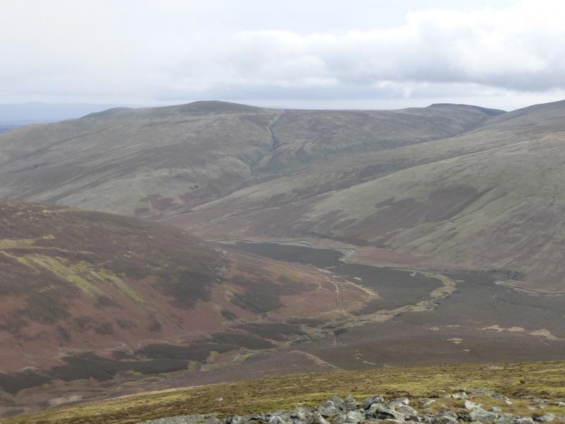
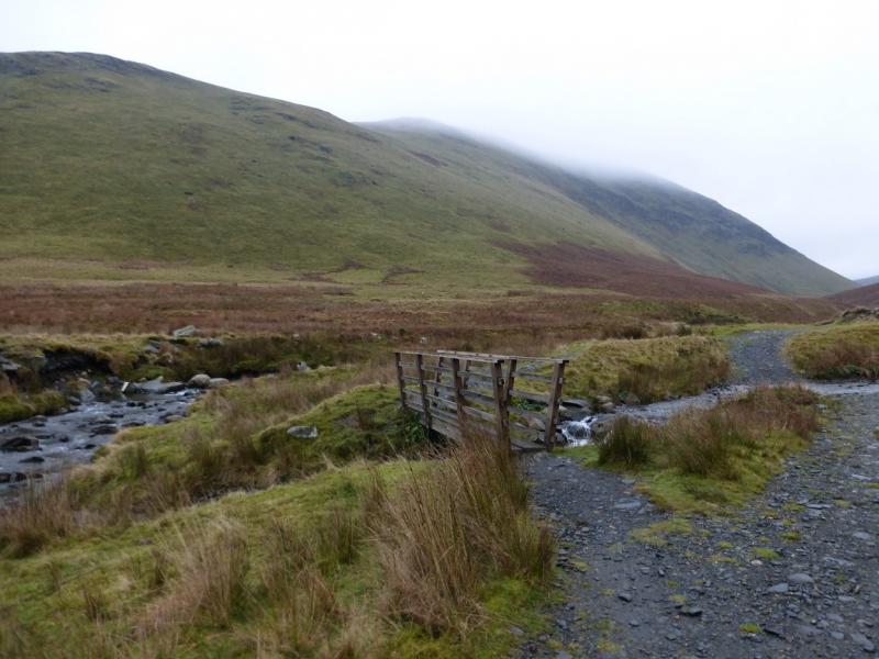
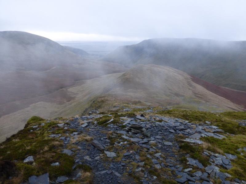
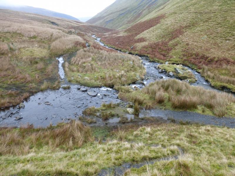
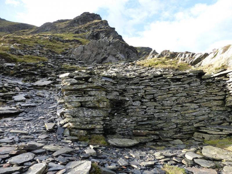
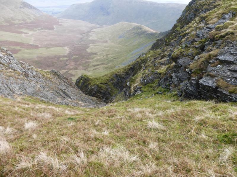
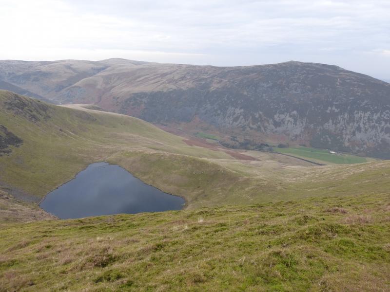
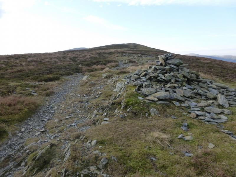
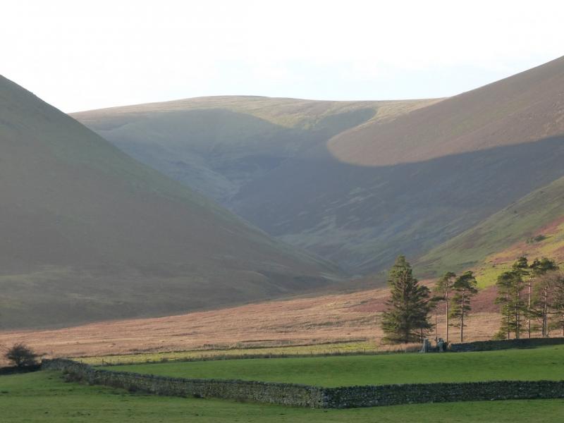
(3) Return to the edge cairn. Walk, roughly SE, continuing around the edge of the crags. There is a path SE from the cairn and it soon heads almost due E down the ridge which goes to the confluence of Bannerdale Beck and the River Glenderamackin. The ridge is steep and rocky in places but the path is well defined. Unfortunately, the rock is slate which can be very slippery when wet so take it slowly and carefully. It is possible to walk on grass in places. Once down to the valley, cross Bannerdale Beck. There is no bridge but, unless it is a very wet spell, there should be no difficulties in crossing although the rocks are slippery. Continue along the obvious path by the River Glenderamackin. This has a few very wet and boggy sections but soon leads back to Mungrisdale.
Notes
(a) This walk took place on 27th and 28th November, 2014, both days in thick mist! The walk was repeated on 29th November, 2014, in good weather but in reverse. This is posted separately.
Photos - Hover over photo for caption. Click on to enlarge. Click on again to reduce.