Get Lost Mountaineering
You are here: England » Lake District » 5 Northern Fells
Little Calva, Great Calva, Knott, Great Sca Fell, Meal Fell & Great Cockup from near Peter House Farm on Orthwaite road
Little Calva, Great Calva, Knott, Great Sca Fell, Meal Fell & Great Cockup from near Peter House Farm on Orthwaite road
Start/Finish
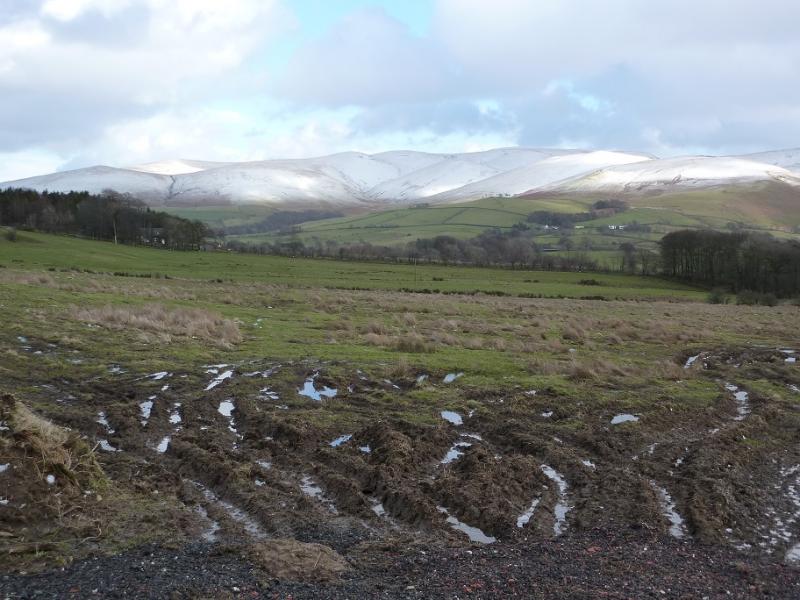
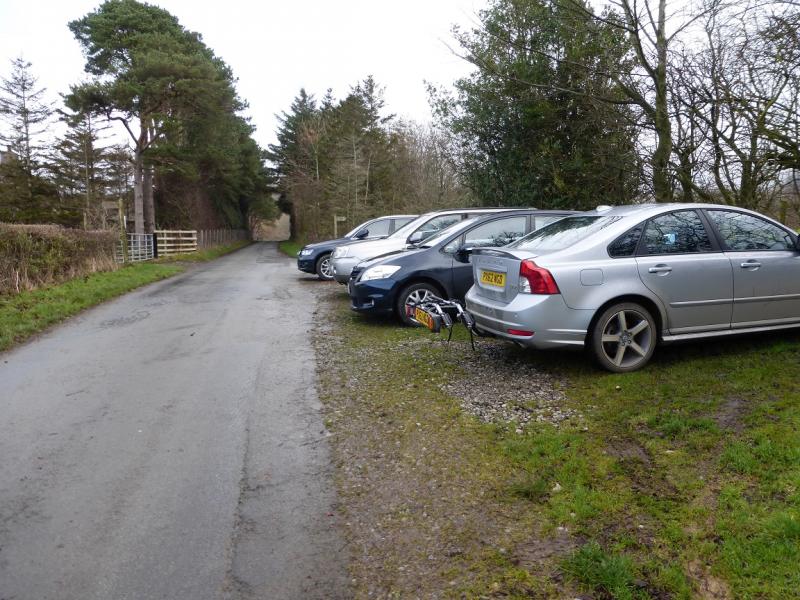
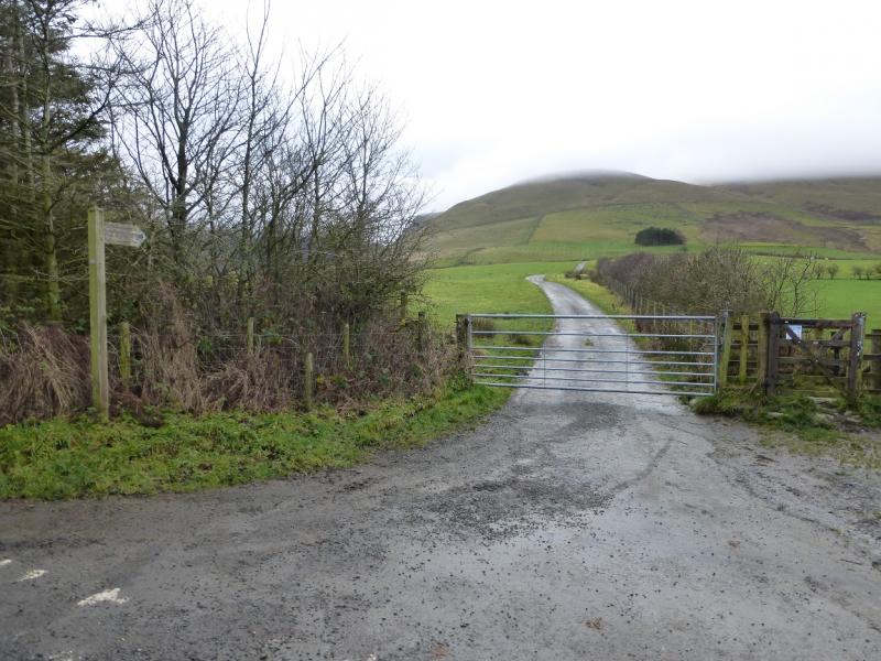
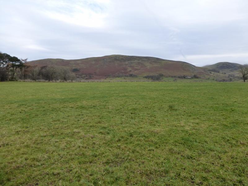
Rough car park – holds about 6 cars – near Peter House Farm. From Keswick, find the roundabout at the junction of the A66 and A591 (Carlisle). Take the A591. Follow it past the Applethwaite turnings, Dodd Wood and the Ravenstones Hotel. About half a mile past the hotel, leave the A591 and take the right fork signed for Orthwaite. Continue through a steep hollow to cross Chapel Beck, then pass Melbecks before reaching the car parking spaces on the right before Peter House Farm which is about 1.3 miles from the Orthwaite fork. The parking spaces can fill up quickly in the busy season so arrive early as nearby parking is almost non-existent.
Distance/Time
15 km About 6 – 7 hours
Peaks
Little Calva, 642 m, NY 282 314.
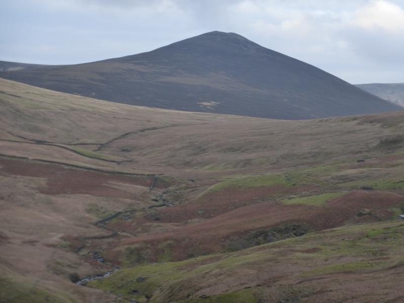
Great Calva, 690 m, NY 291 312.
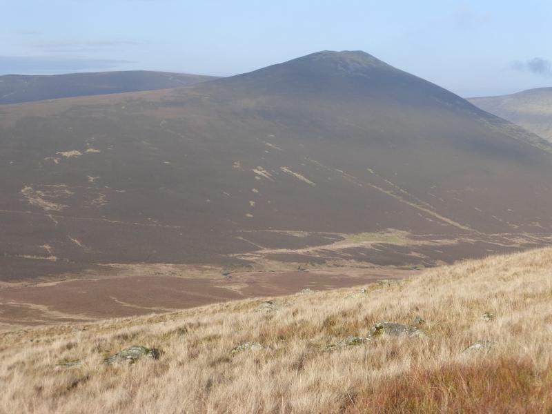
Knott, 710 m, NY 296 330.
Great Sca Fell, 651 m, NY 291 339.
Meal Fell, 550 m, NY 283 337.
Great Cockup, 526 m, NY 273 333. OS 1:50 000 Sheet 90. OL4 North Western Lakes
Introduction
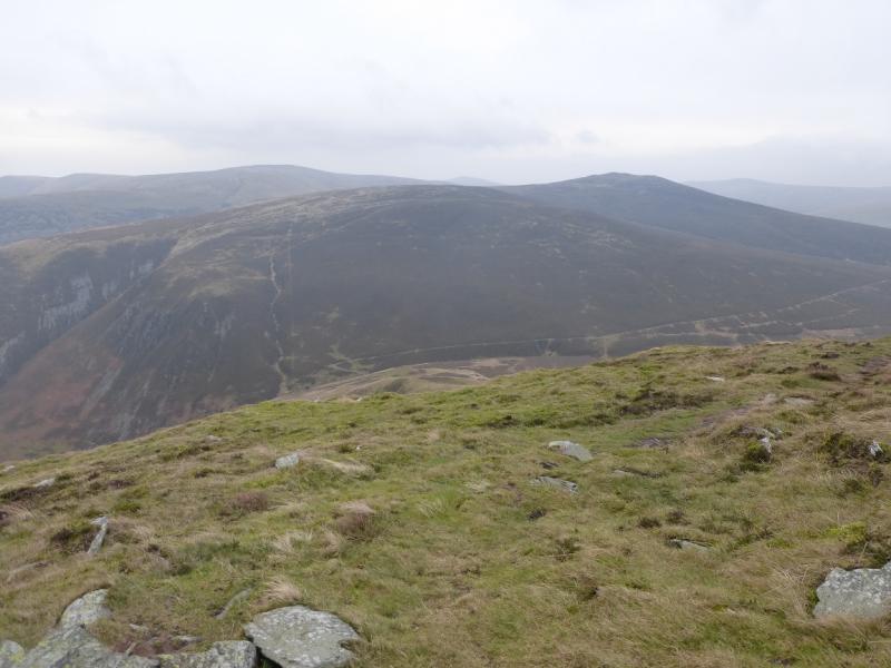
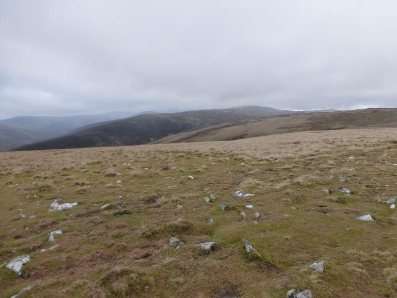
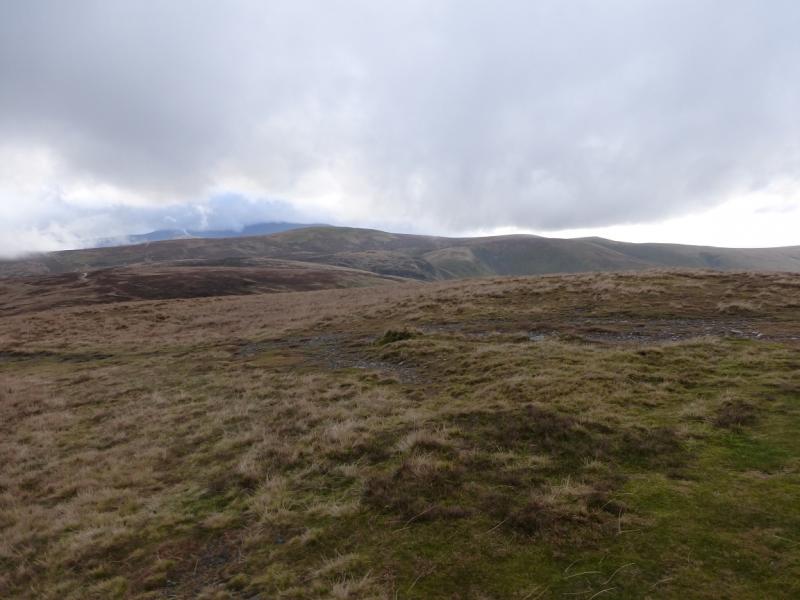
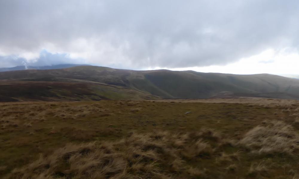
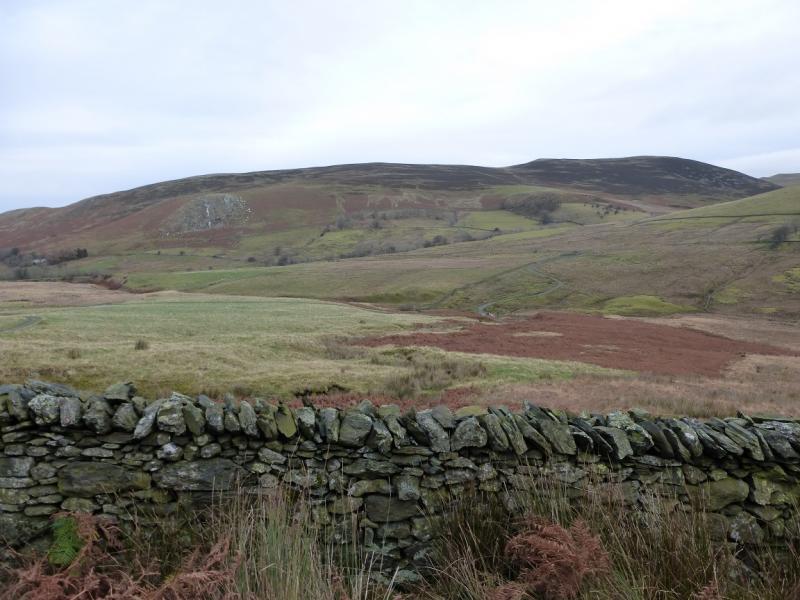
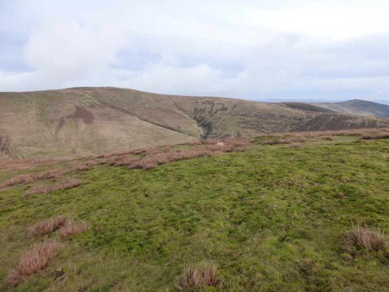
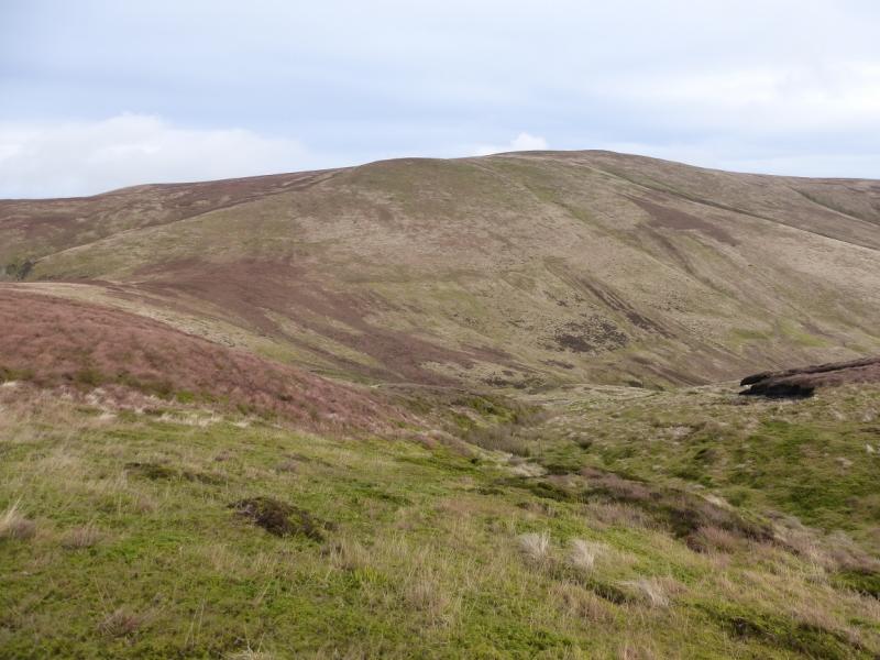
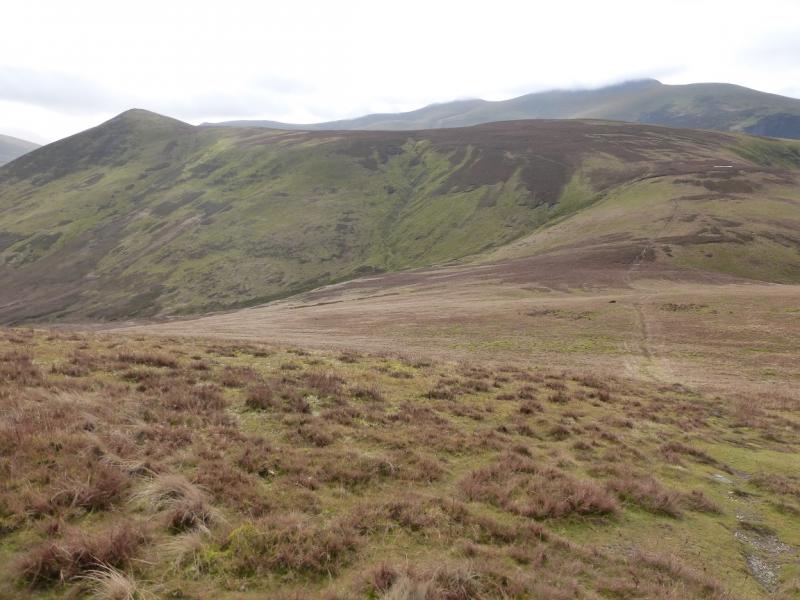
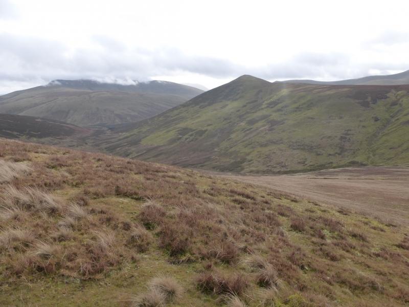
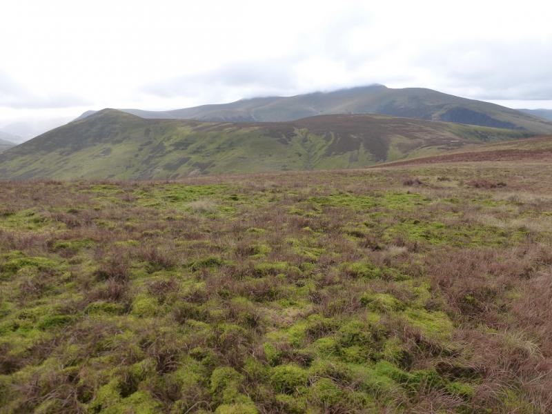
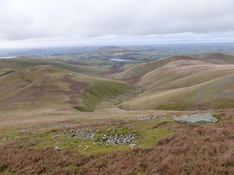
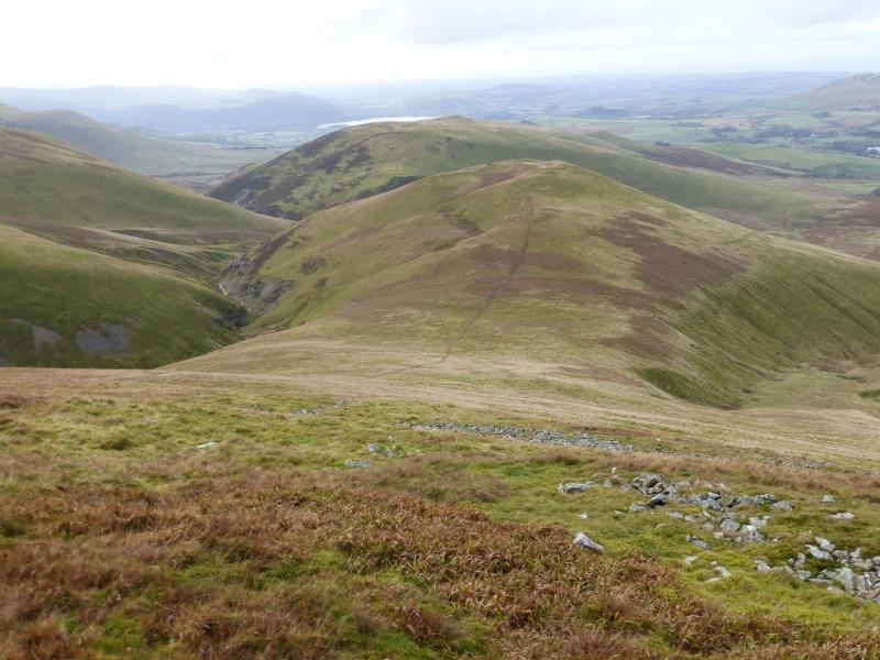
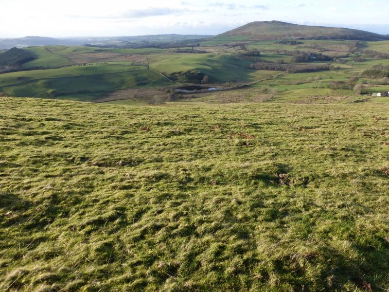
This walk has some very good views but some of the walking is on quite boggy ground especially from Dash falls to Great Sca Fell. Views extend to Skiddaw, Blencathra, Lonscale Fell, High Pike & Carrock Fell and beyond. On a very clear day this can include to the Solway Firth and Scotland.Observations on the ground, from many viewpoints, suggest that Great Cockup is actually higher than Meal Fell. This may be investigated using GPS on a future occasion. From Great Cockup, Meal Fell looks distinctly lower.
Route
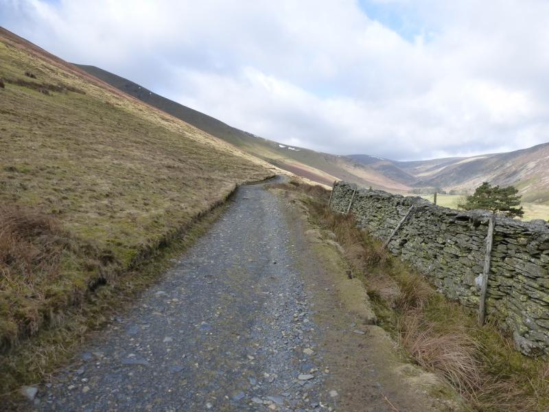
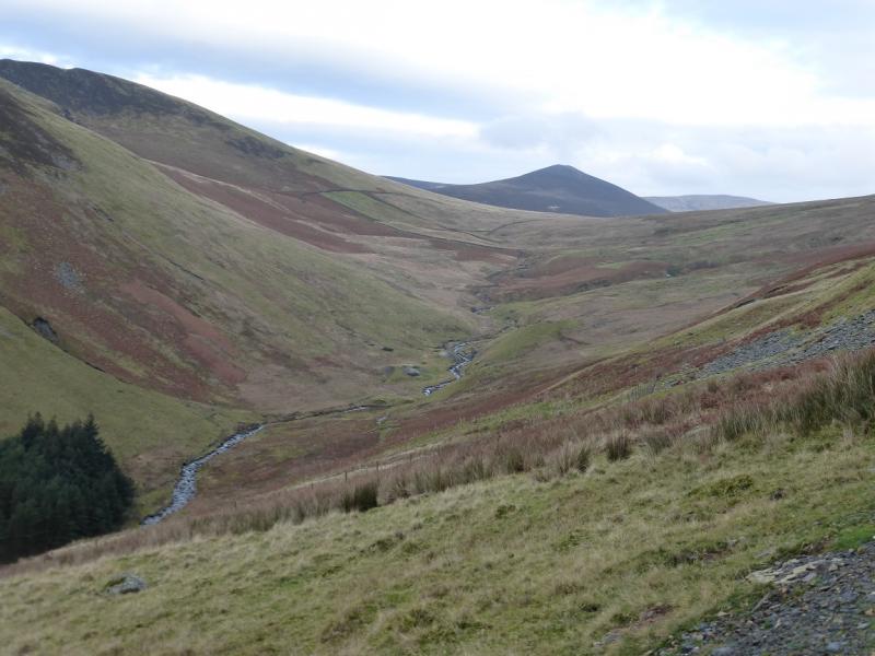
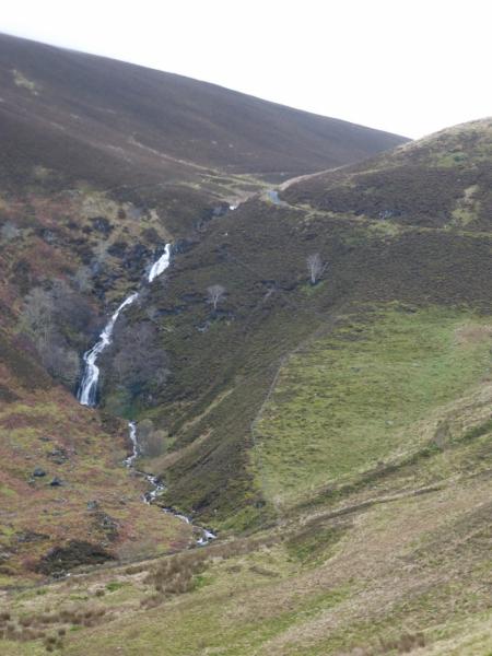
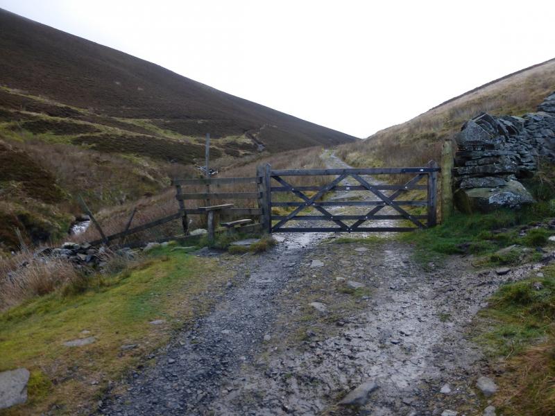
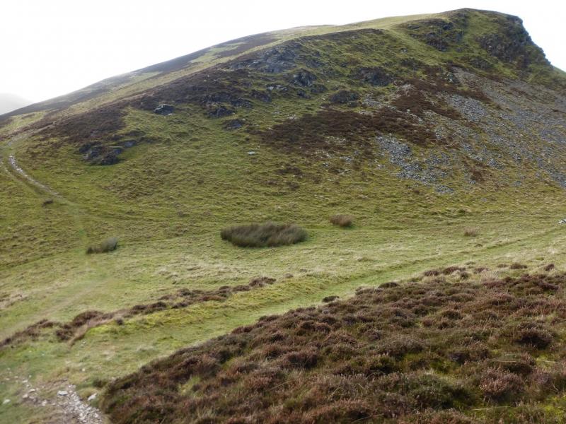
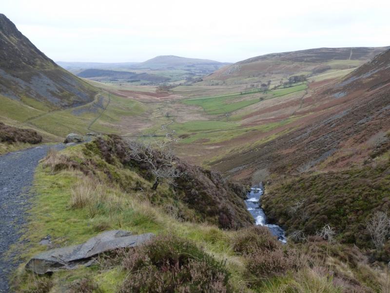
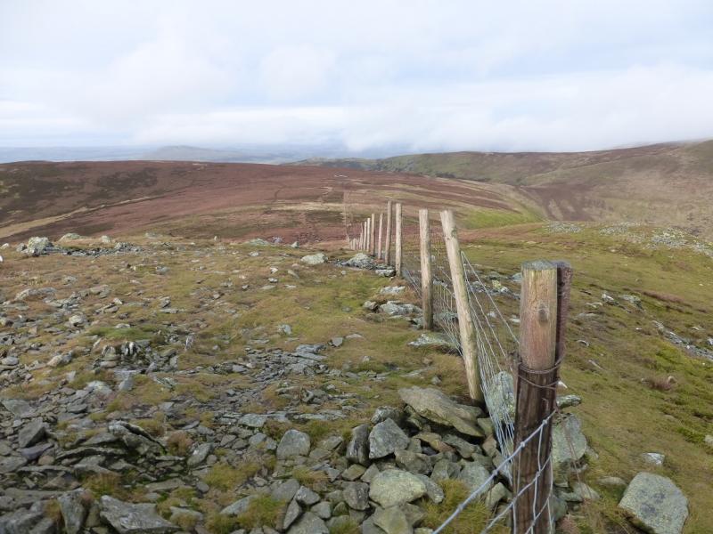
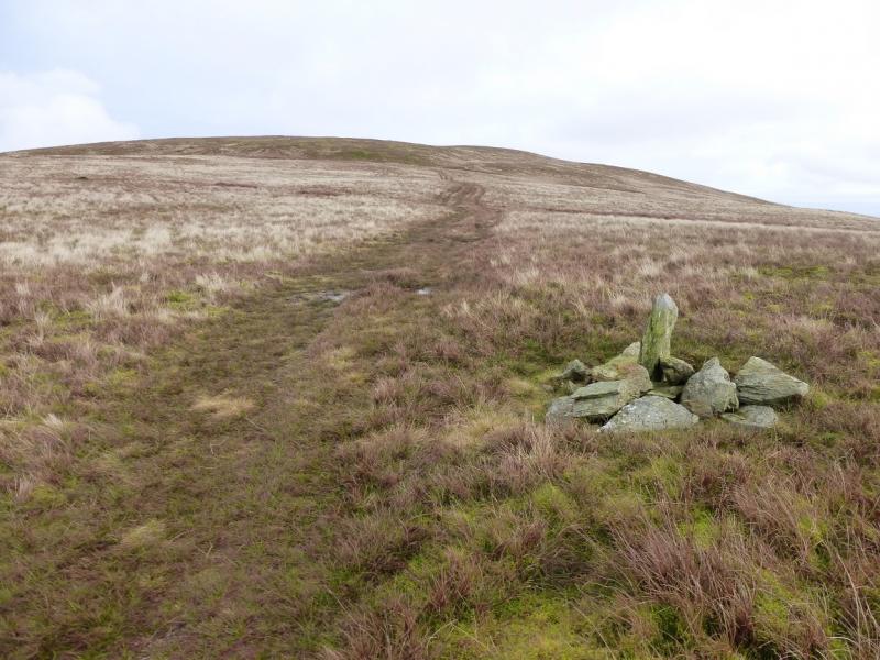
(1) At the NE end of the car spaces, a signed track (more like a tarmac road) for Skiddaw House heads SE. Follow this for just over 1 km to where it splits and the tarmac road forks left to Dash Farm. Fork right on to the gravel track and follow it to what most people call Dash Falls but is called Whitewater Dash on OS maps! Either way, it is very distinctive. Go through the gate at the top of the falls. The fence going left here leads to the summits of both Little Calva and Great Calva but do not follow it yet. Instead stay on the track to cross the beck. On the next bend, take the faint path going to the fence. Follow the fence up on the narrow but distinctive path which has been encroached by heather in places. Dry Gill is on the left beyond the fence. Higher up, the path swings right away from the fence. This is just cutting a corner so follow the path and the fence will return soon after. Continue with the ground now quite boggy. The fence will be heading roughly SE but soon turns NE then about 250 m further, the path goes away from the fence, for about 10 m, to a small cairn which marks the summit of Little Calva, 642 m.
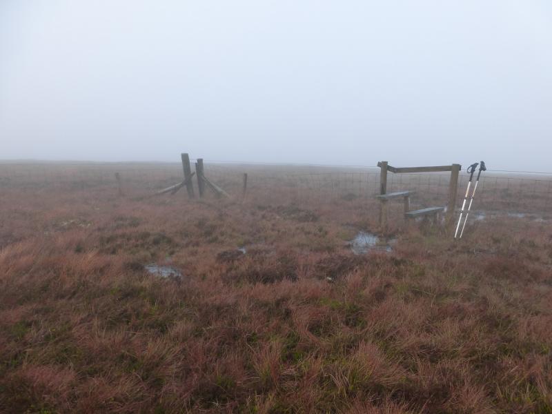
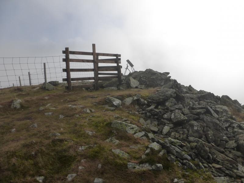
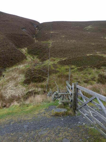
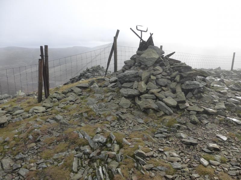
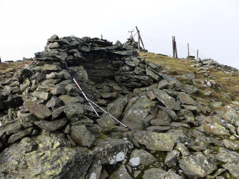
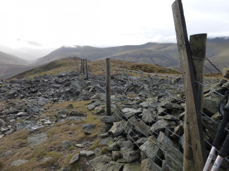
(2) Continue on the path which immediately rejoins the fence. Follow the fence to a corner where there is a stile. Do not cross but continue following the fence to a second stile just after an old gate. Remember this point as it where the path to Knott starts. Continue following the fence and ascend up, with the last section being on a stony path, to a medium cairn which is the summit of Great Calva, 690 m. There is a shelter cairn on the other side of the fence. Between Little Calva and Great Calva, the main path drifts right to cut the fence corner. This can be followed in clear weather but, in mist, it is best to stay with the fence. If there is any doubt as to whether you are on the summit, continue S on the fence. In 200 m, the fence will go E at a cairn. The true summit will have to be returned to though!
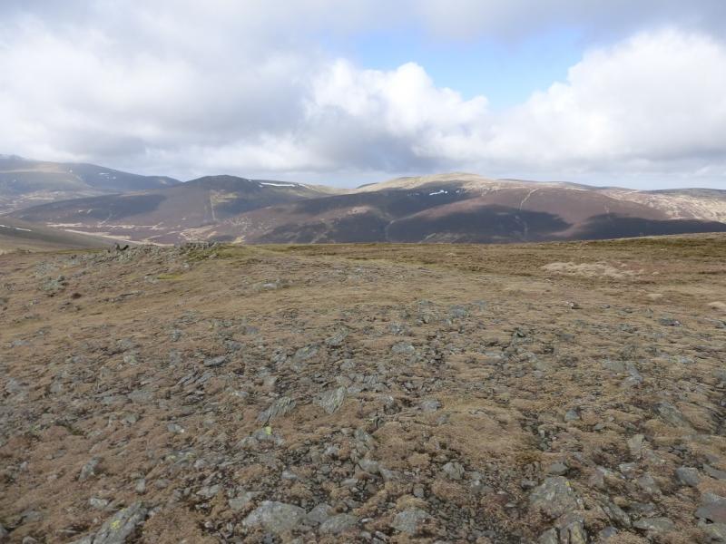
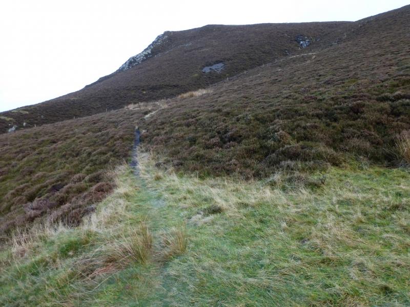
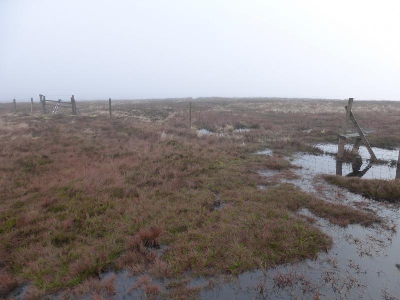
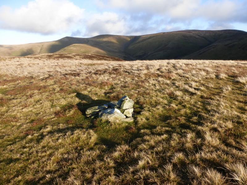
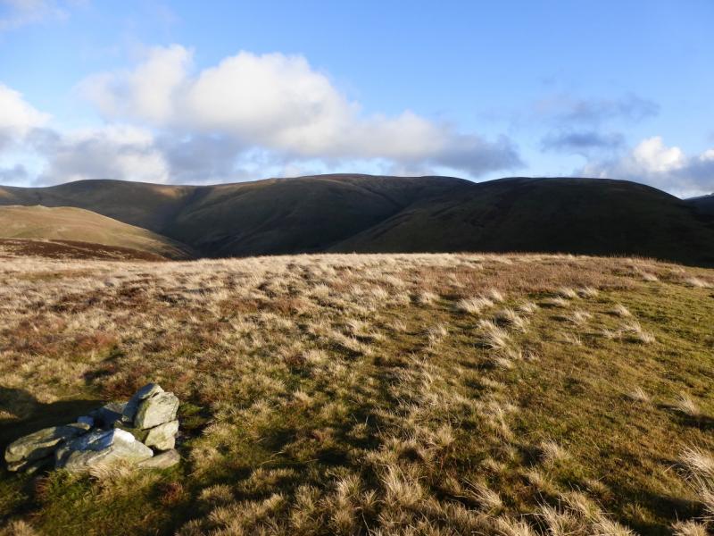
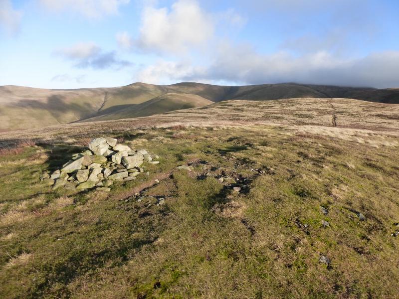
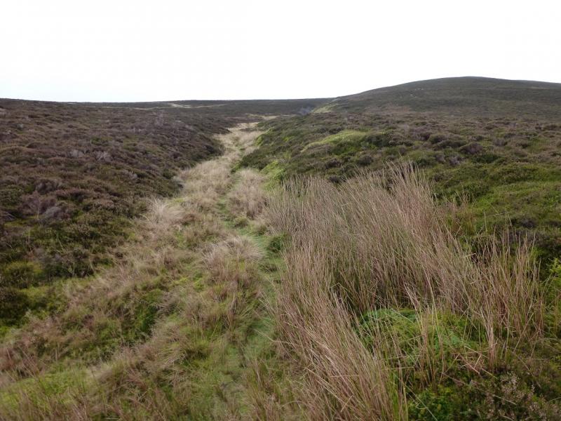
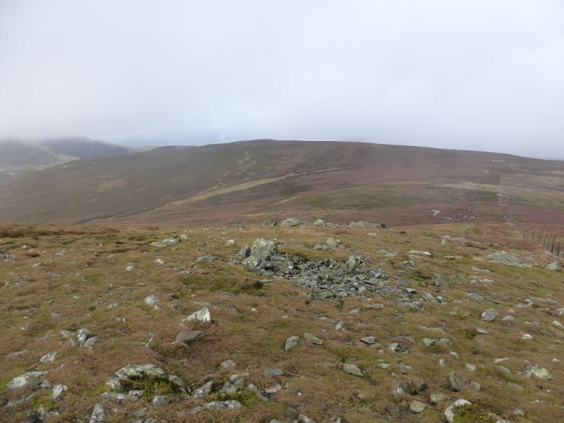
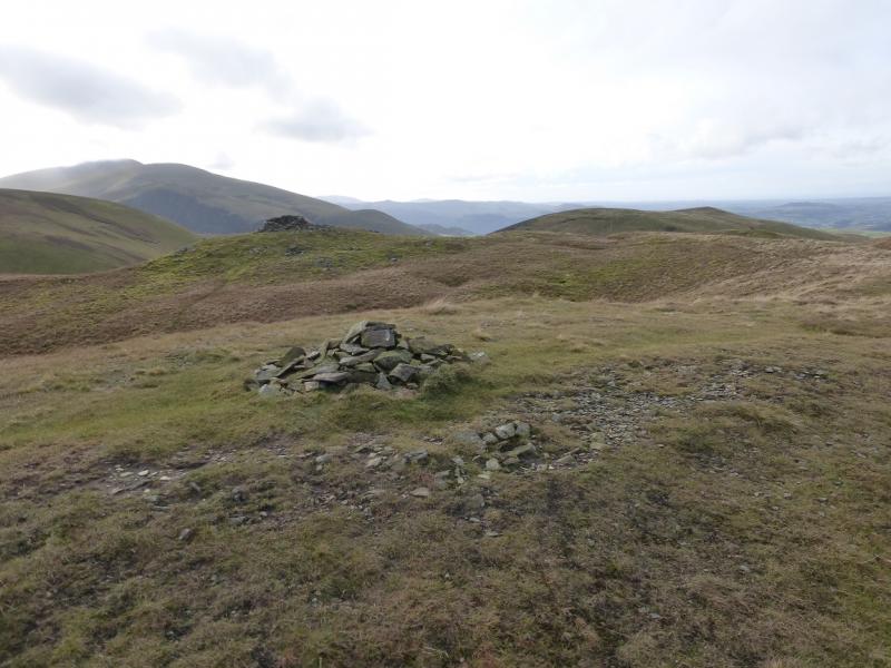
(3) From Great Calva summit, return along the fence to the stile by the old gate. This is the first stile coming from Great Calva. Cross the stile and follow a boggy path roughly NW. The path never goes on to the broad crest which runs N from the first stile between Little Calva and Great Calva. Even in thick weather, the path is fairly obvious but can be very mossy and boggy. It curves around to the N then goes NE down to a broad col before continuing up in the same direction. The ground gradually improves. A small cairn is passed before a medium cairn is reached on a plateau which is the summit of Knott, 710 m.
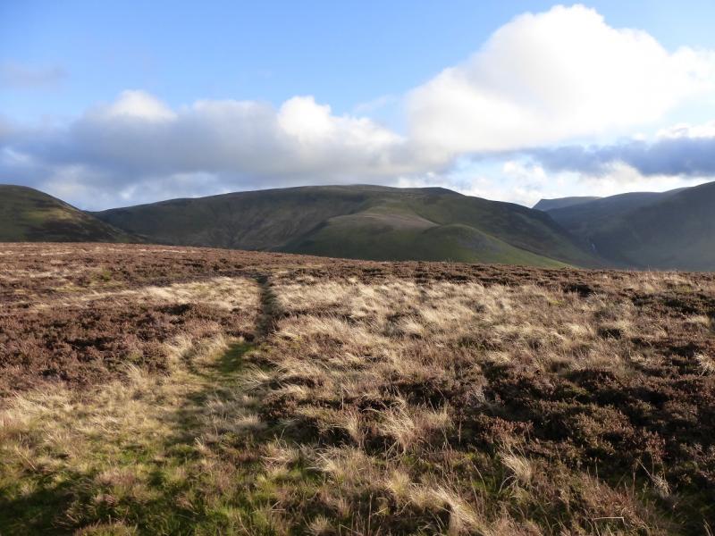
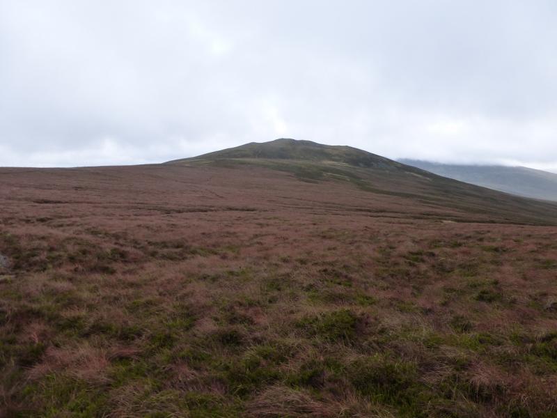
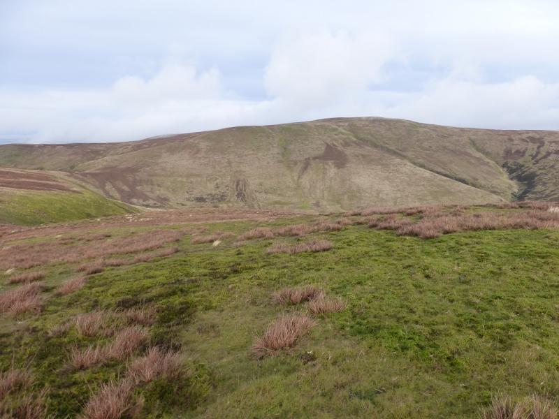
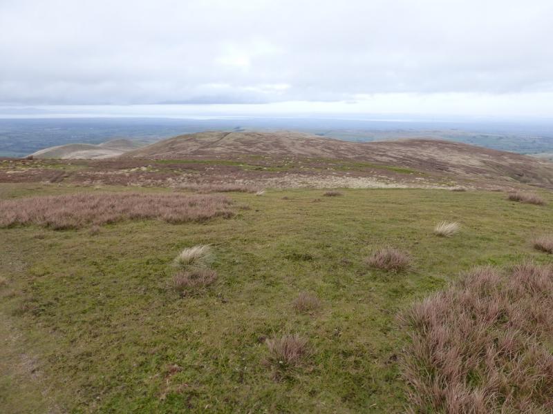
(4) It would be very easy to go wrong here, especially in mist. If necessary, take a bearing (slightly W of N) for Great Sca Fell and walk that way. There is a path but it is a little left of the bearing. Follow this down gentle but boggy ground then up the other side to reach another flat top where a medium cairn marks the summit of Great Sca Fell, 651 m.
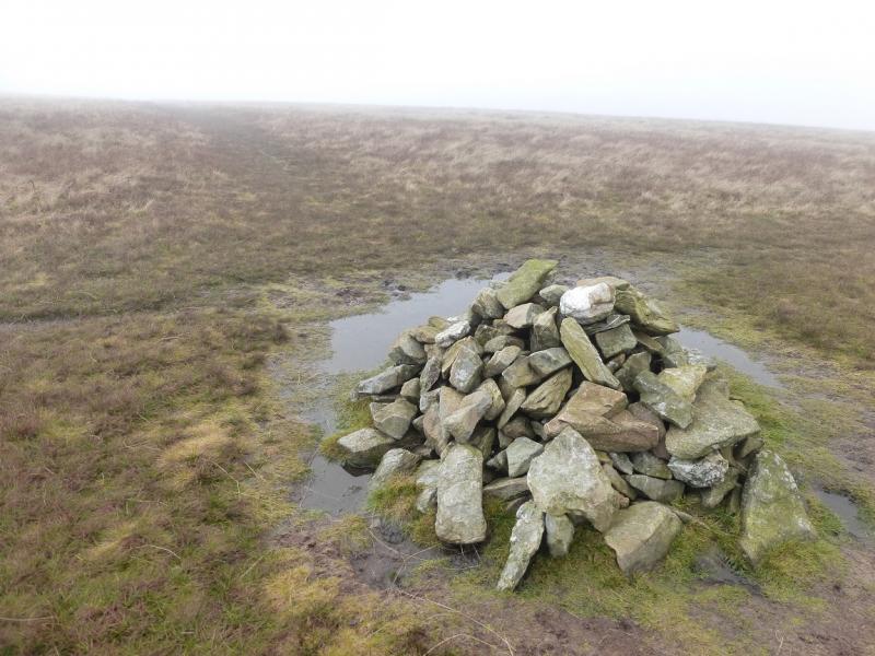
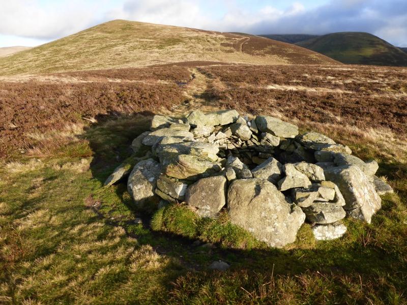
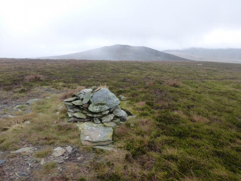
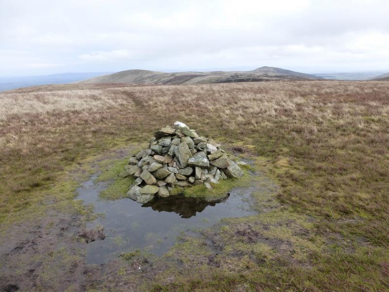
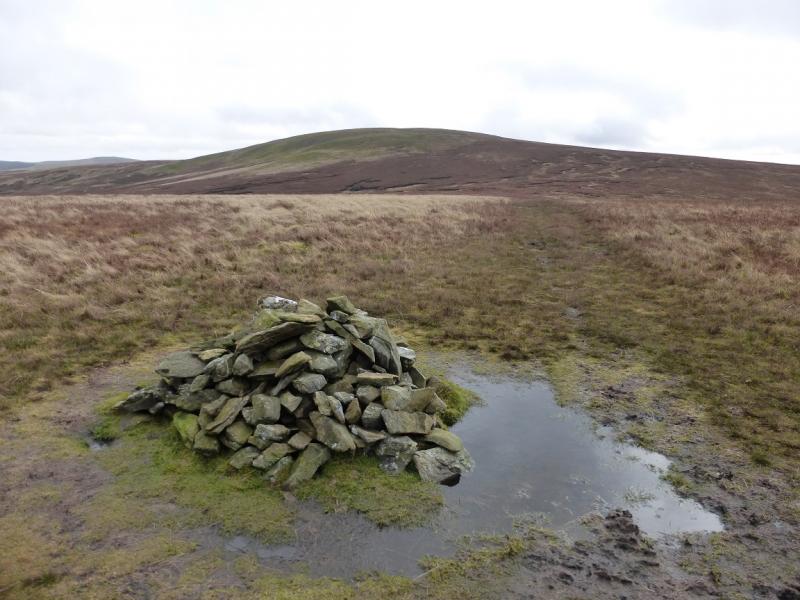
(5) From the summit, a path goes slightly S of W and leads down grassy slopes to a broad col before continuing up the other side. In clear weather, the shelter cairn on Meal Fell will have been visible for some time. The path leads to a small cairn then curves around to the large shelter cairn, about 50 m away in a straight line across a shallow dip, which is the official summit of Meal Fell, 550 m. It is arguable which of the two cairns is the higher but, observations on the ground, suggest it might just be the smaller cairn. This may also be checked by GPS on a future occasion. There is a third cairn which is clearly lower.
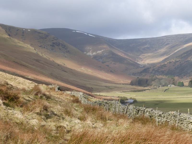
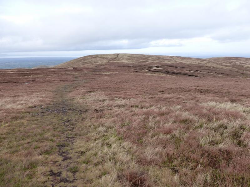
(6) Continue, roughly WSW, on the path down to a narrow col known as Trusmadoor. A much better path crosses the ridge here but do not take it. Instead follow the path ahead up the edge of the crags above Trusmadoor then go W along the crest. A small cairn is passed which is the E Top before the crest path reaches a medium cairn which is the summit of Great Cockup, 526 m.
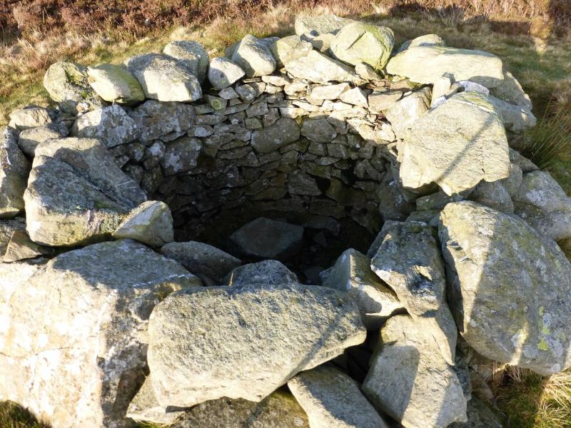
(7) Continue W along the crest and descend down to a level section where one will come across what looks like a round deep shelter cairn but is actually a grouse butt. Continue along the crest. Lower down, the path becomes harder to follow but the crest is still fairly distinct. Other minor paths will appear. If it is clear, aim for Binsey. Better still, aim for Little Tarn which looks like a large pond. Further right are some white houses, a farm, a wood then Over Water. You need to stay well to the left of the line for the houses. Eventually, you will meet a wall across the lower ridge with farmland beyond. Go left here without crossing the wall. It leads down to a gate on a track. Go through and walk N, reaching the road in about 50 m. Follow the road S (reverse left fork) for about 1.6 km back to the start.
Notes
(a) This walk took place on 23rd and 24th November, 2014.
Photos - Hover over photo for caption. Click on to enlarge. Click on again to reduce.


 from Meal Fell.JPG)
 from near Peter House Farm.JPG)


 & Mirkholme from near Peter House Farm.JPG)