Get Lost Mountaineering
You are here: England » Lake District » 5 Northern Fells
Skiddaw via Ullock Pike & Bakestall from near High Side on Orthwaite road
Skiddaw via Ullock Pike & Bakestall from near High Side on Orthwaite road
Start/Finish
Rough car park – holds about 8 cars – near High Side. From Keswick, find the roundabout at the junction of the A66 and A591 (Carlisle). Take the A591. Follow it past the Applethwaite turnings, Dodd Wood and the Ravenstones Hotel. About half a mile past the hotel, leave the A591 and take the right fork signed for Orthwaite. Reach the parking area in about 300 m. This can fill up quickly in the busy season so arrive early as nearby parking is almost non-existent.
Distance/Time
12 km About 4 – 5 hours
Peaks
Ullock Pike, 690 m, NY 244 287.
Longside Edge, 734 m, NY 249 284.
Carl Side, 746 m, NY 255 281.
Skiddaw, 931 m, NY 260 291.
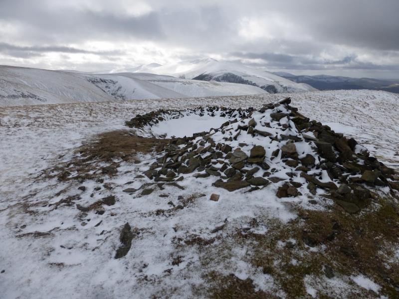
Bakestall, 673 m, 266 307. OL4 North Western Lakes
Introduction
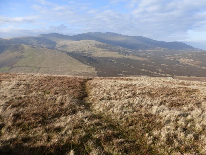
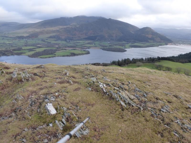
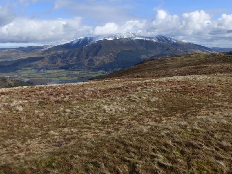
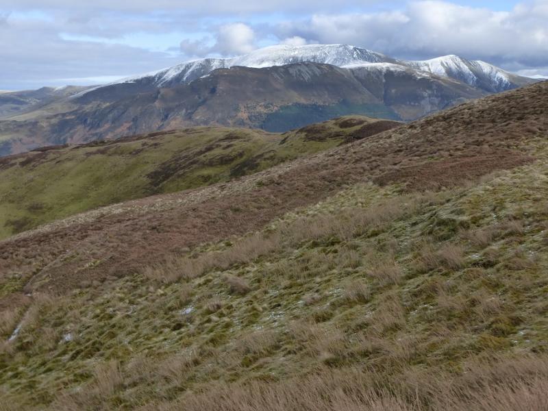
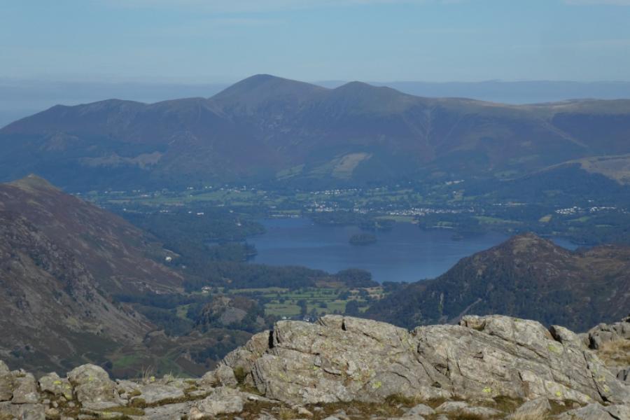
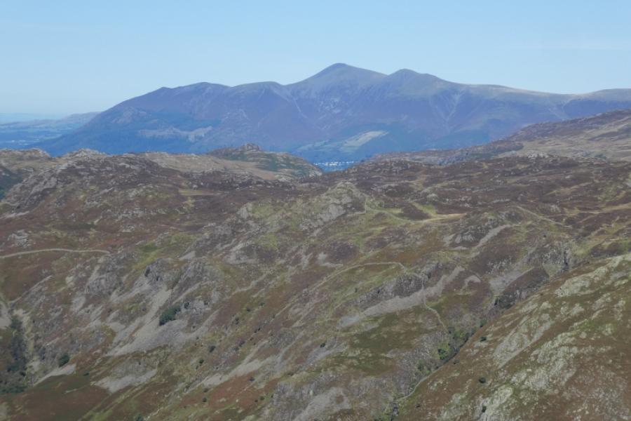
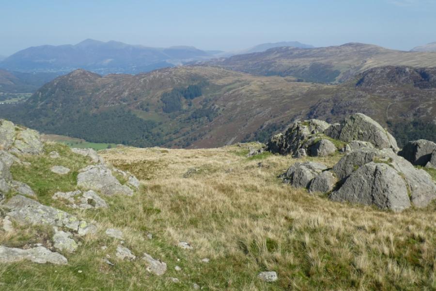
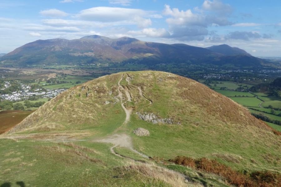
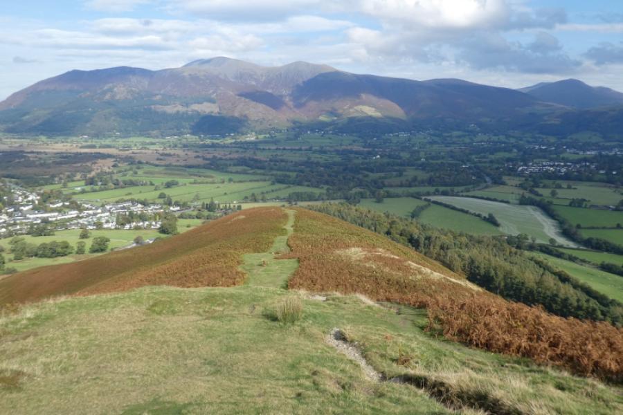
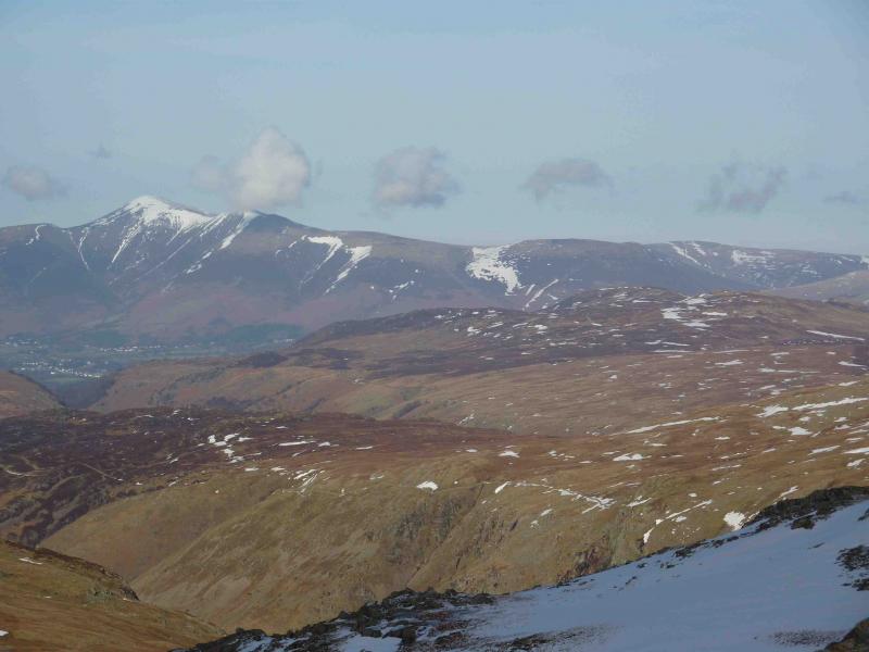
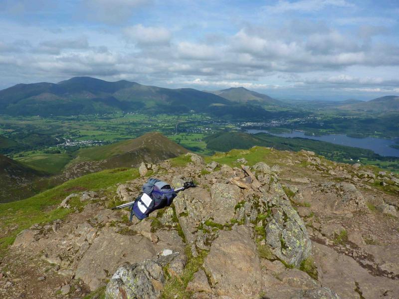
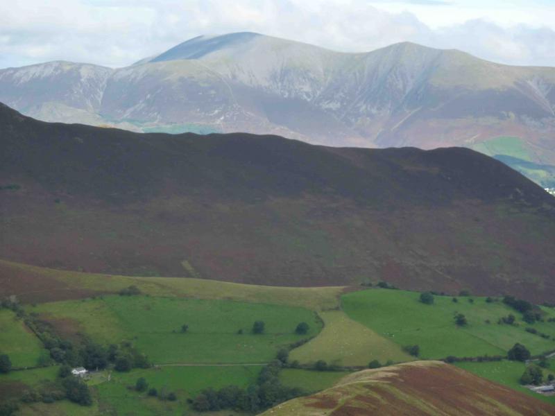
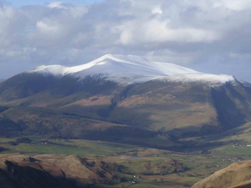
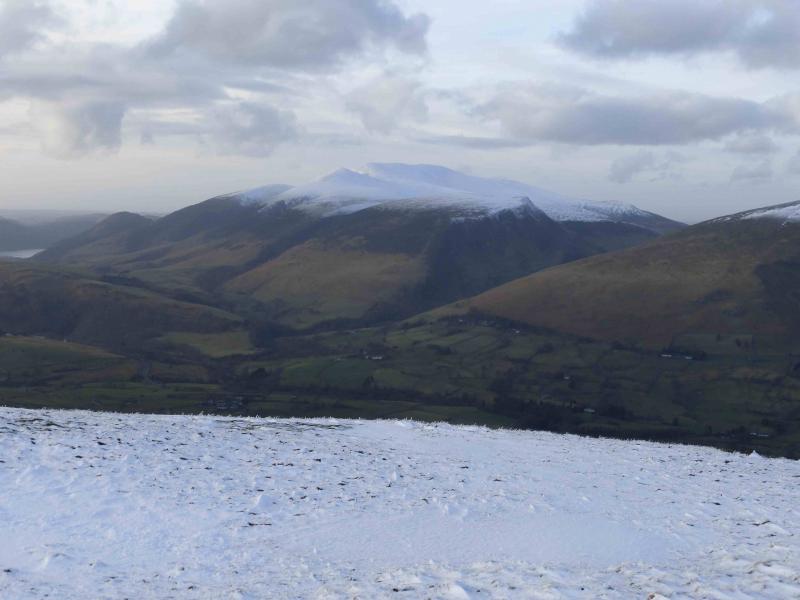
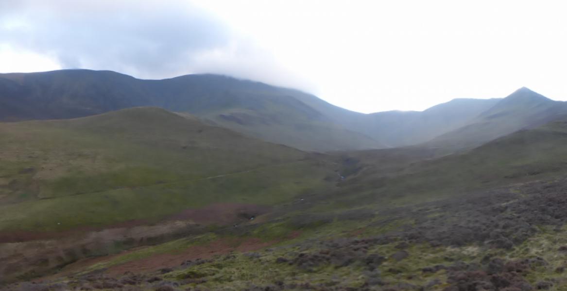
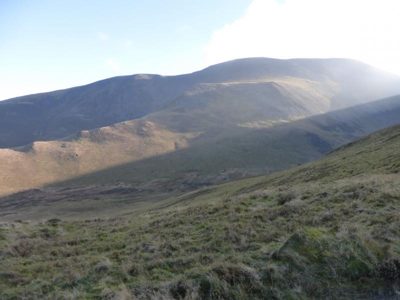
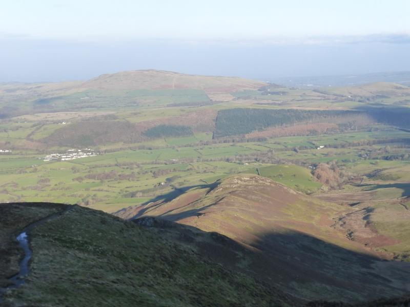
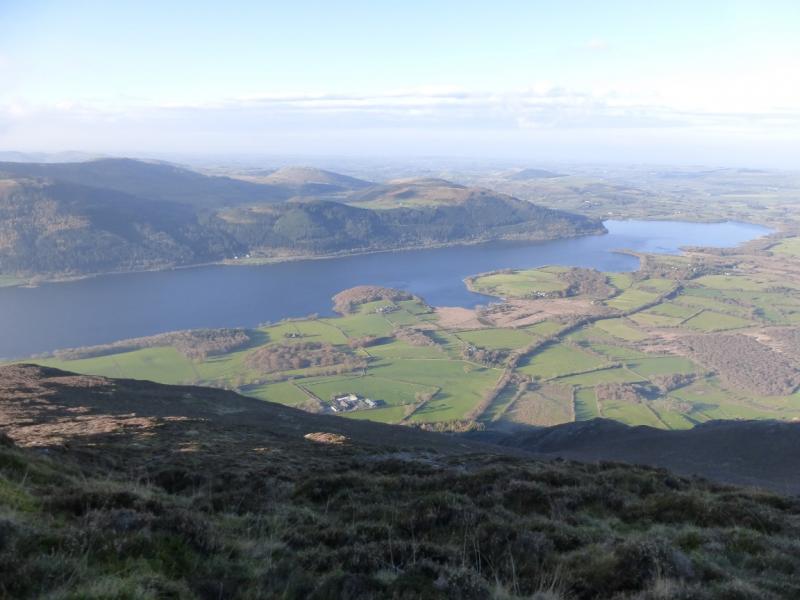
This is a fine walk and has excellent views on a clear day. It can easily be accomplished on a short winter's day but is not for the inexperienced in winter conditions. Views extend to Derwentwater and the surrounding fells, Blencathra, Lonscale Fell, the Caldbeck Fells but especially to Bassenthwaite Lake from The Edge approach to Ullock Pike. The worst thing about this walk is that both sides of the map have to be used. Much of the walk is on the south sheet but north of Bakestall the north sheet has to be used.
Route
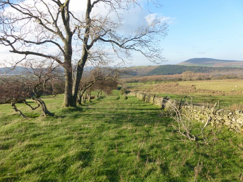
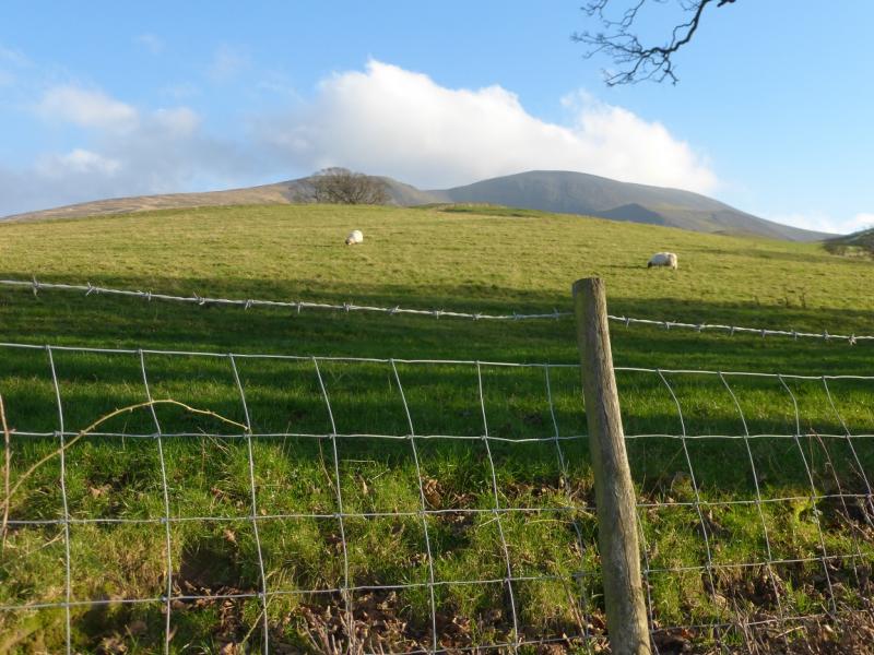
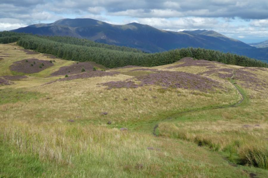
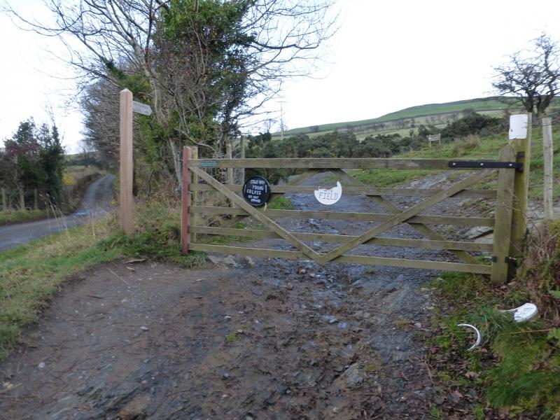
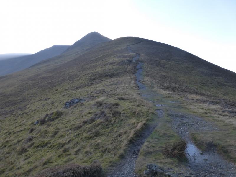
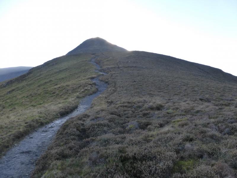
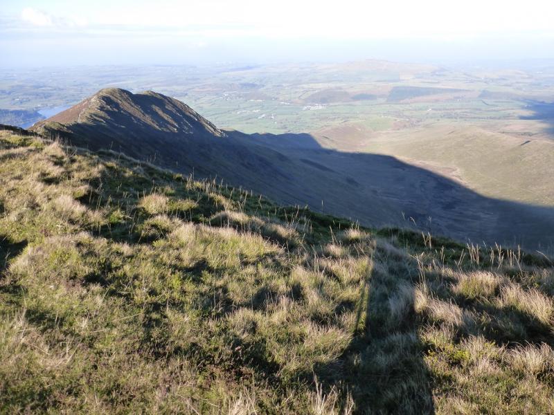
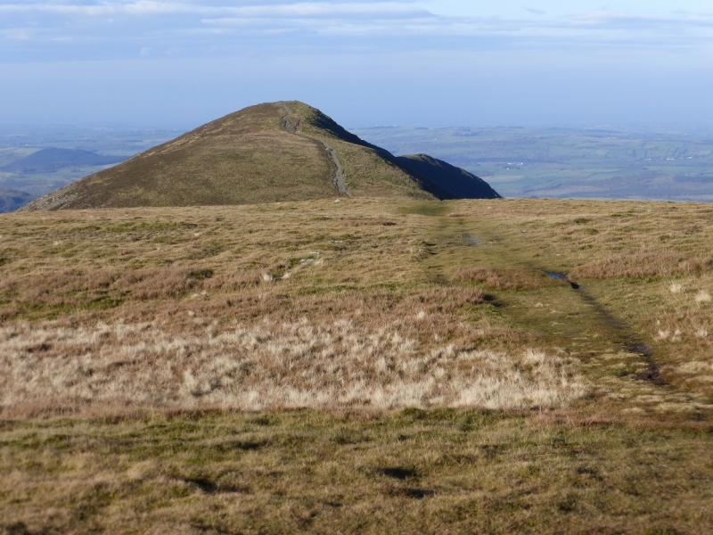
(1) From the car park, walk up the road less than 50 m to reach a footpath sign. Follow this but do not cross the small stream reached almost immediately. Instead, follow an obvious track going gently uphill. This soon fades but looking at about 10 o'clock is a gate which a rutted grass track goes through. Go through the gate then turn right, hardly any path, and follow the wall up steeper grassy ground to reach a small gate which gives access to the open fell and the foot of the ridge which becomes The Edge and leads to Ullock Pike. Once through the gate, a path becomes increasingly more distinctive. At Ling How, the path from Ravenstones joins and the path is now very, very obvious. Continue up on The Edge to the first steepening where the path splits offering a choice of routes including some short rocky sections for those who wish to indulge. All soon lead to a small cairn which marks the summit of Ullock Pike, 690 m.
(2) Continue along the ridge, descending slightly then a short ascent leads to another similar sized cairn which is the summit of Longside Edge, 734 m.
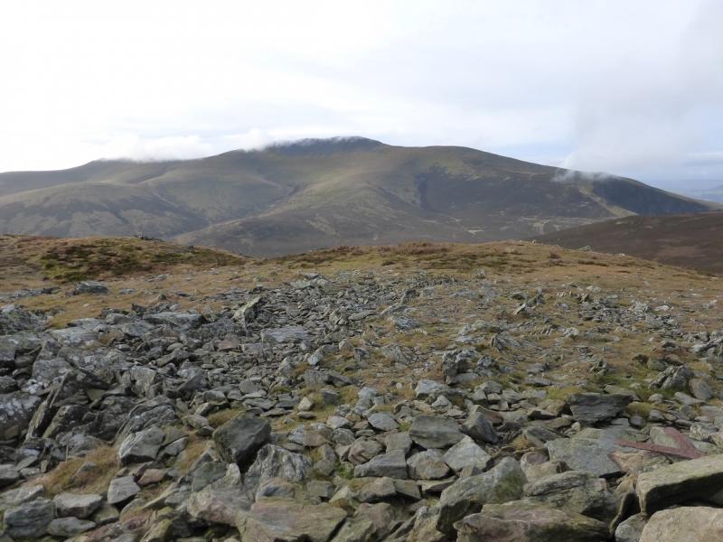
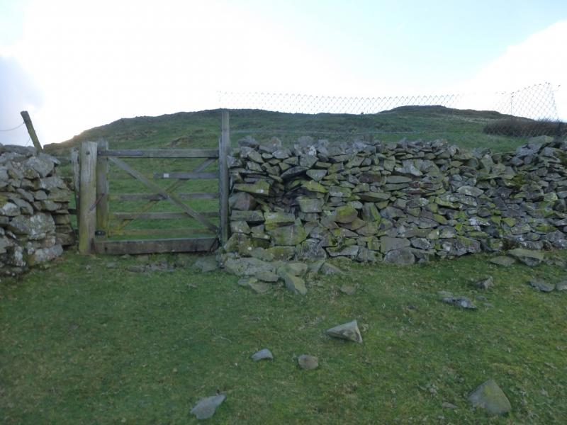
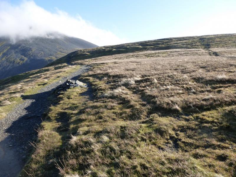
(3) Continue along the ridge, descending to a col where the path splits. The major path forks left and avoids Carl Side rejoining the described route on the NE side of Carl Side. Take the minor grassy path, straight ahead, and follow it up to a plateau where a medium cairn marks the summit of Carl Side, 746 m. At the summit, a very distinctive path will be seen coming up from the S. If needed, this path leads down to Millbeck but has not been checked out.
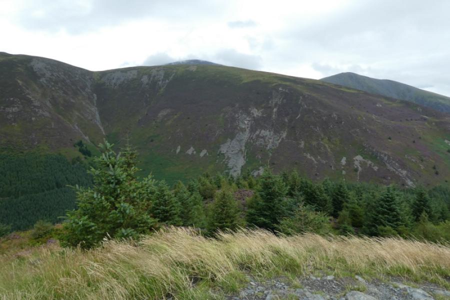
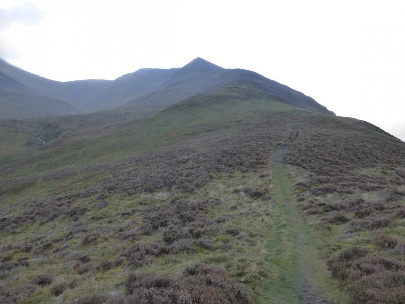
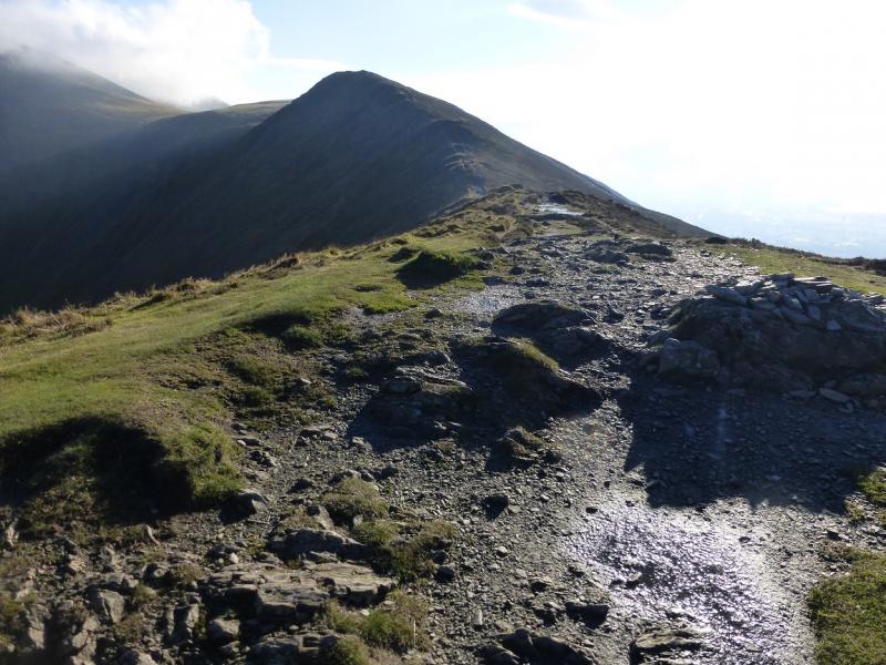
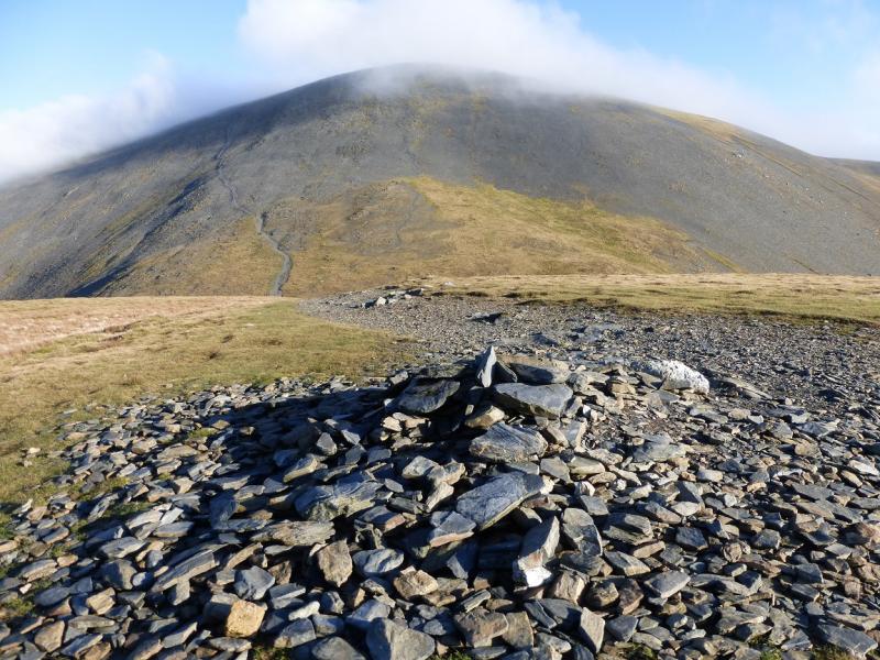
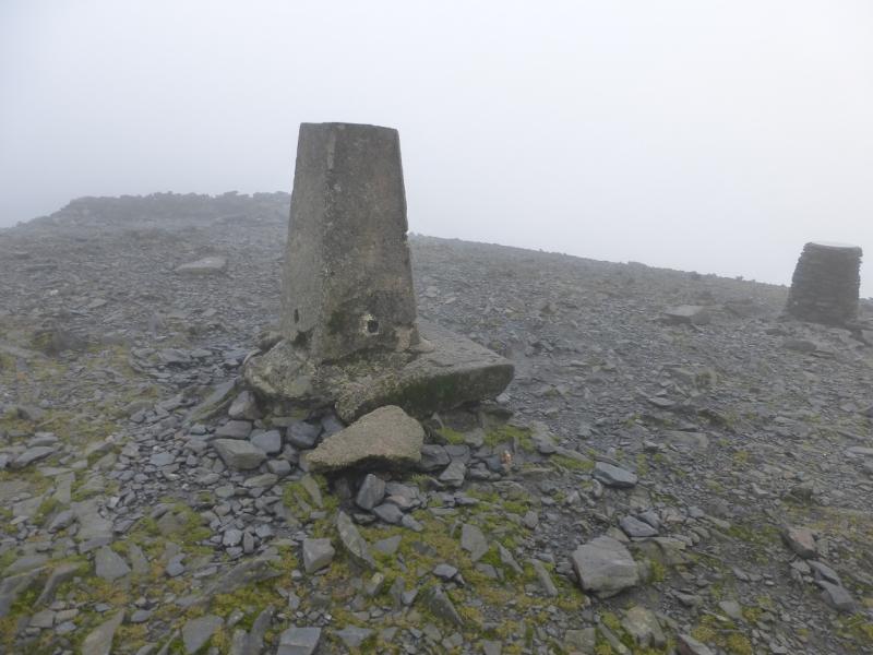
(4) Take the distinctive path NE and descend to the NE col where the traverse path from Longside Edge is rejoined near to Carlside Tarn which is small enough to dry up in a sustained hot spell. Follow this path up, steep and loose in places, on the NW flank of Skiddaw. It reaches the crest of Skiddaw after a large cairn and there is a shelter cairn once the crest is reached. Turn left, N, and follow an obvious path, at first level then gently ascending, to the trig point which marks the summit of Skiddaw, 931 m. There is also a view point indicator and a large, but low, shelter cairn. Note that on the Ullock Pike approach, it can appear, wrongly, that the summit is S of where the crest is joined but resist this temptation or you will end up on Little Man!
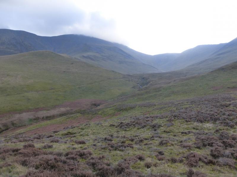
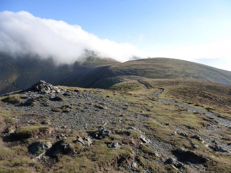
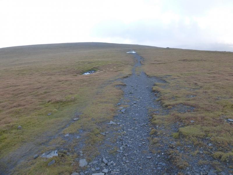
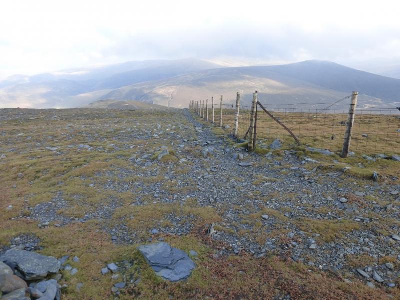
(5) Walk N from the summit on a reasonably distinct path which descends to a level grassy section then suddenly disappears but a fence comes in from the right which is a useful aid to navigation. Follow the fence which has a path by it. It soon turns NE then NNE before turning ENE near a cairn which is the summit of Bakestall, 673 m. Another path leaves the fence here and goes N, soon reaching another medium cairn which is the N Top of Bakestall, 673 m, and a finer viewpoint.
(6) From the N Top, look for a faint stony path drifting left off the ridge, roughly WNE but it does meander. This path becomes more grassy and distinctive and crosses Dead Beck where there is a more distinctive path on the other side. The path drifts left away from the beck towards Cockup but splits before the top. Take the left fork which traverses Cockup on its W side and continue on the path. A bit further, look for another path going off left at about right angles. Follow this down keeping well to the N of Cockup Gill. If clear, a very straight track will be seen lower down. Aim for this. A wall will be on your right lower down and a line of trees on your left. Continue down and reach the Orthwaite road at Melbecks on a corner. Turn left and follow the quiet road for about 1.5 km back to the start. Note that this road is well hidden and not seen until reached. To avoid the road, the map shows a track going left just before the road which goes to Barkbeth then comes out at the sign post by the start. This alternative has not been checked out.
Notes
(a) This walk took place on 18th November, 2014 and many times previously.
Photos - Hover over photo for caption. Click on to enlarge. Click on again to reduce.

.JPG)