Get Lost Mountaineering
You are here: England » Lake District » 6 North Western Fells
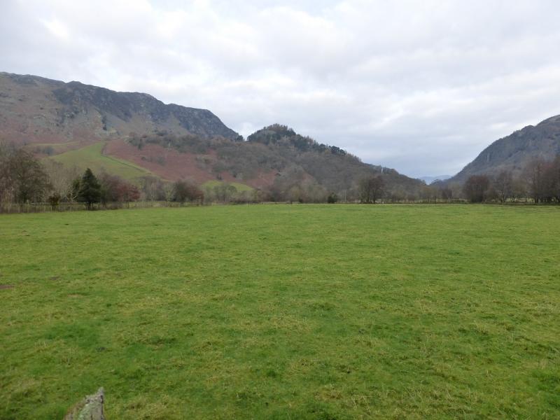
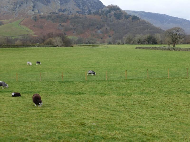
Castle Crag from Rosthwaite in Borrowdale
Castle Crag from Rosthwaite in Borrowdale
Start/Finish
Car park (limited parking) in Rosthwaite which is about 6 miles down the Borrowdale valley from Keswick. There are 2 pay car parks down the road on the right as the village is entered from the Keswick direction. Just down this road is a car park on the left with a barrier across it. Do not park here even if the barrier is up as it may be locked without warning and your car could be trapped for days. The public car parks are a little further by the telephone box next to the toilets.
Distance/Time
6 km About 2 hours
Peaks
Castle Crag, 290 m, NY 249 159. OS 1:50 000 Sheet 90. OL4 North Western Lakes
Introduction
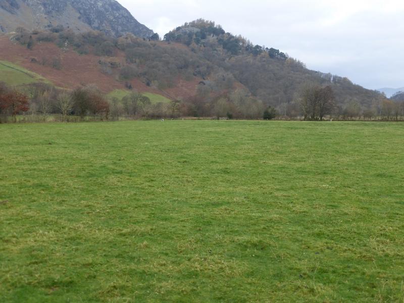
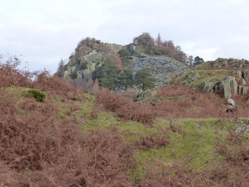
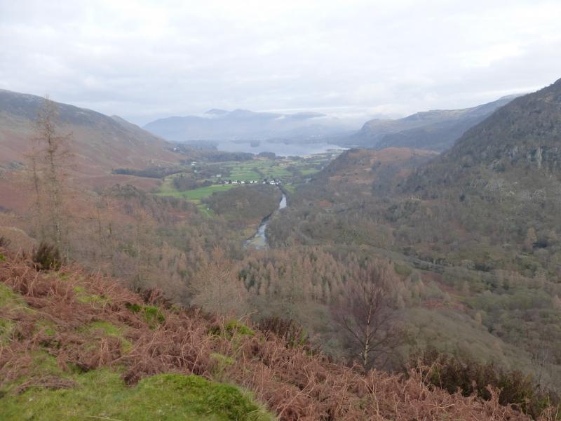
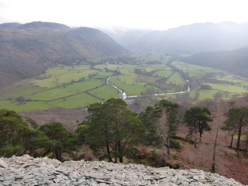
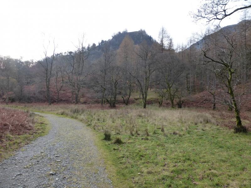
Castle Crag dominates the view up the River Derwent from Grange in Borrowdale. Despite its modest height, it is an impressive viewpoint especially down Borrowdale to Derwentwater and Skiddaw. The paths up are good but moderately steep in places with no technical difficulties unless one wanders off the path.
Route
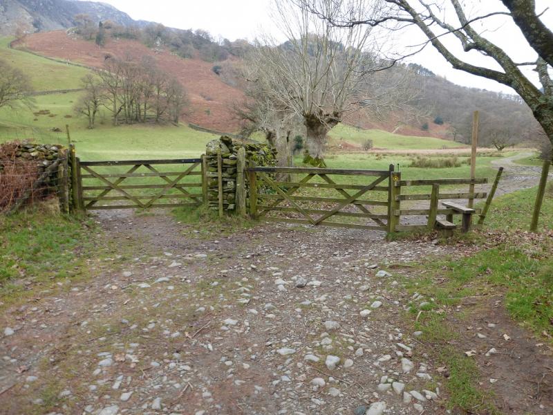
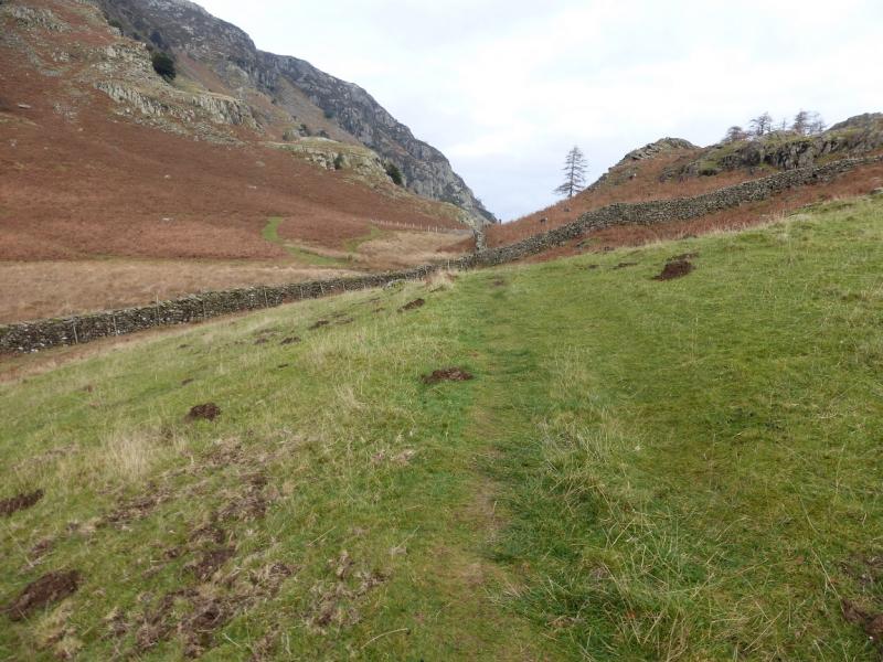
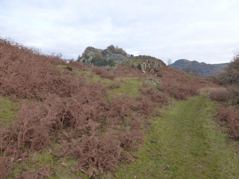
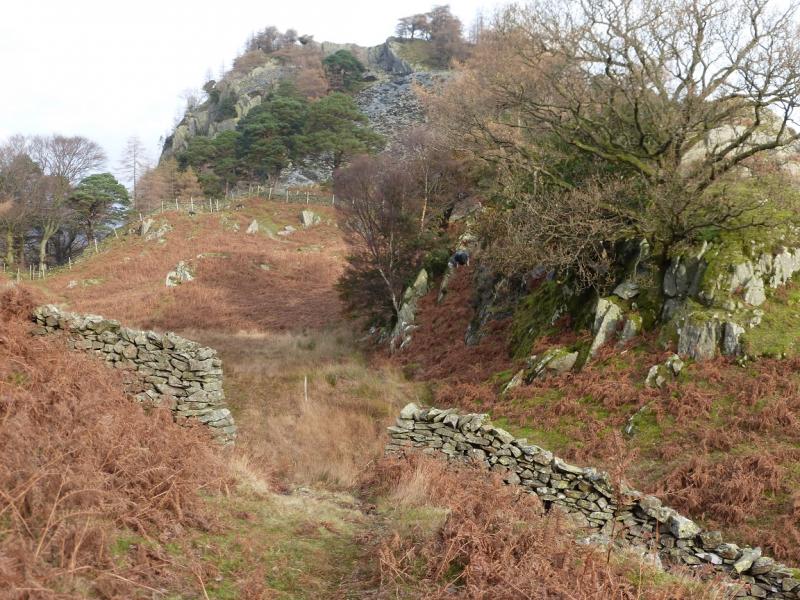
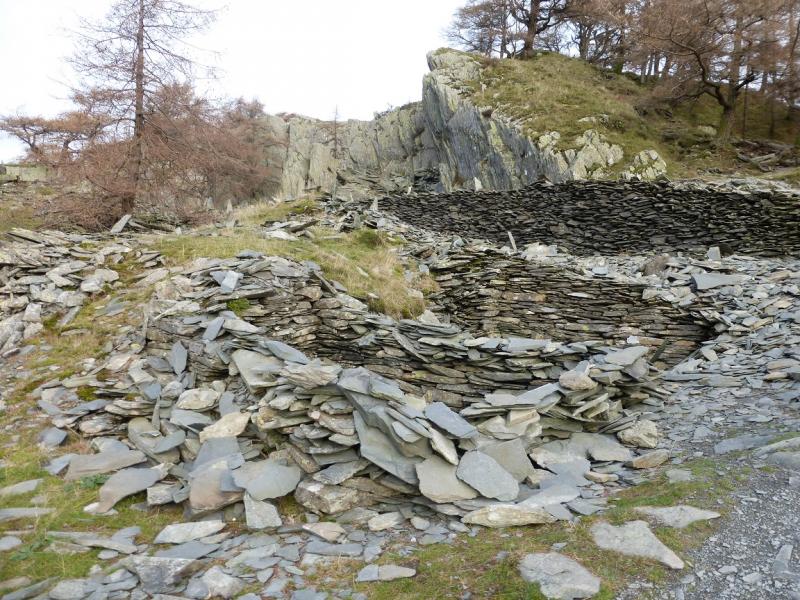
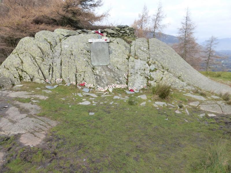
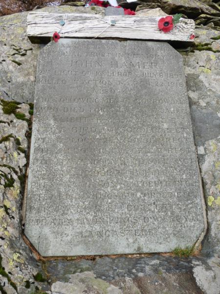
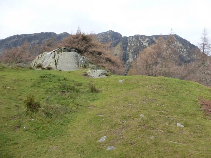
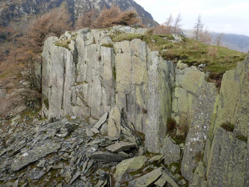
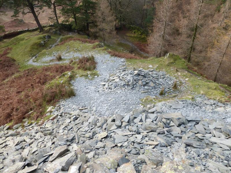
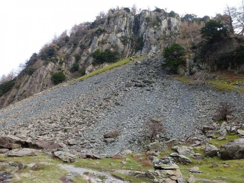
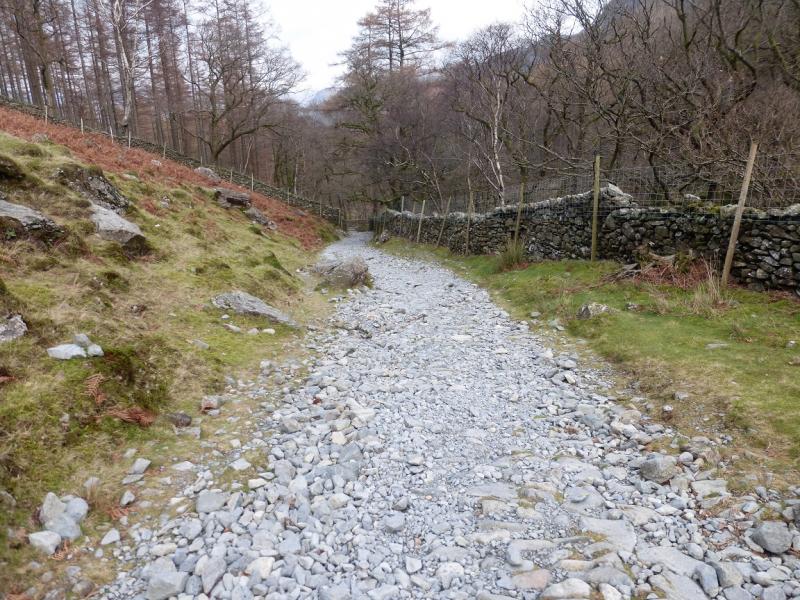
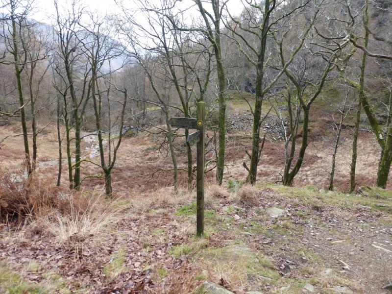
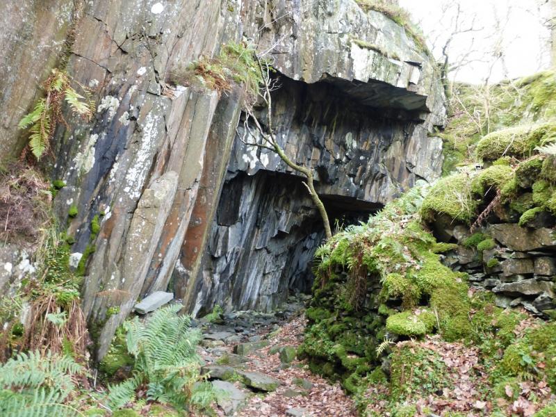
(1) From Rosthwaite, continue down the side road past the telephone box and car parks. Follow the track when the road runs out. This becomes cobbled and passes over a stone bridge. A little further, the track splits at two gates both with footpath arrows. Take the left path and follow it up Lingy Bank. Just before it crosses a minor stream, leave this path and head up to a gate. Go through the gate and follow a faint path which soon becomes more distinct. Follow this to a hole in a wall where, presumably, there used to be a gate. Continue across a damp and rough meadow to reach the lower of two stiles. Cross over and follow the path up the side of the wall past the upper stile. Continue zig-zagging up the path on an old slate spoil heap to reach the top quarry where there is a path into it guided by an “avenue” of standing slate stones. There is no route for walkers out of the quarry so take the path up the grassy rib on the right which soon leads to a cairn on a large boulder with a memorial plaque; this is the summit of Castle Crag, 290 m.
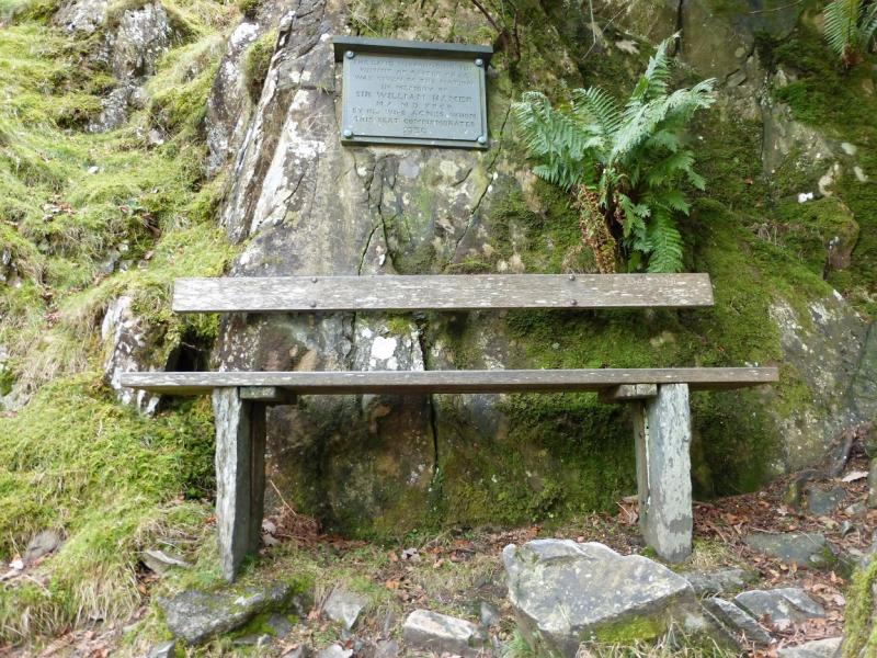
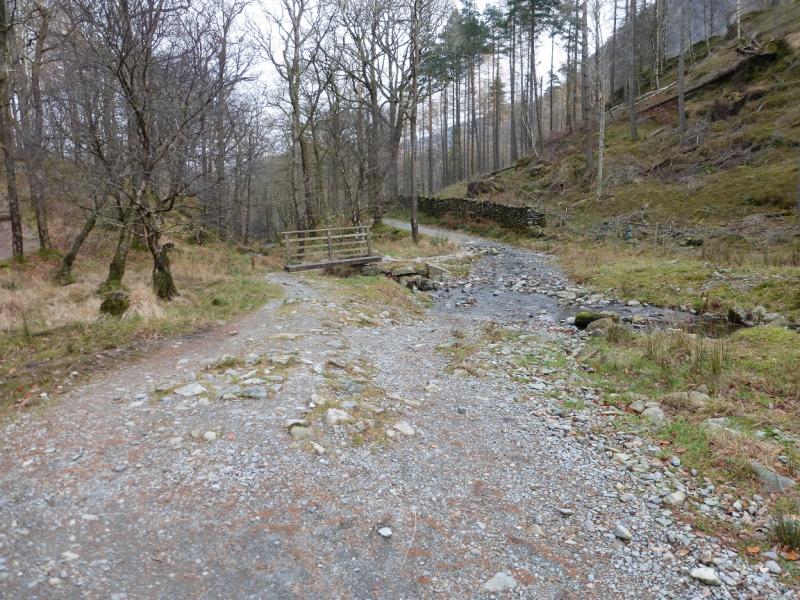
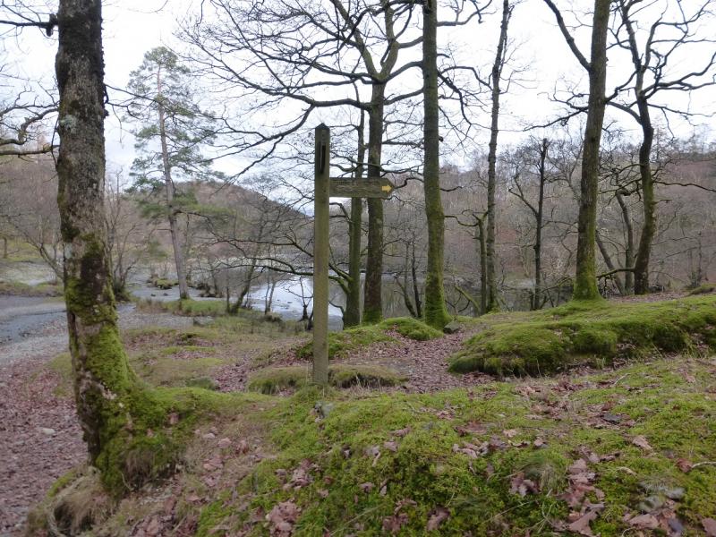
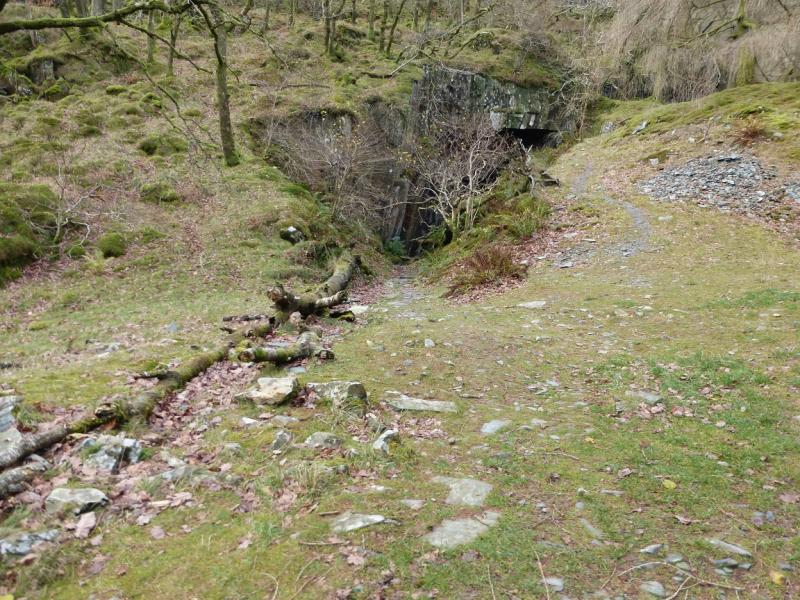
(2) Retrace to the entrance to the top quarry then continue down the zig-zags but don't go as far as the stiles on the wall. At a large cairn, another rpath zig-zags down to meet the Allerdale Ramble track (on the W side of Castle Crag) near a seat and plaque. Once on the track, turn right and walk N, descending down to the River Derwent. Turn right (sign post) and follow the path for Rosthwaite. Later on, take a left branch, also signposted, for Rosthwaite which leads back to the double gate near the stone bridge. On the way, there is some ascending and some caves are passed.
Notes
(a) This walk took place on 25th November, 2014, and many times previously.
Photos - Hover over photo for caption. Click on to enlarge. Click on again to reduce.