Get Lost Mountaineering
You are here: England » Peak District » Kinder, Winhill, Castleton, Mam Tor, Rushup Edge, Brown Knoll & South Head from Ladybower/Bamford to Chapel-en-le-Frith Road
Mam Tor via NE Ridge and E Ridge from near Castleton
Mam Tor via NE Ridge and E Ridge from near Castleton
Start/Finish
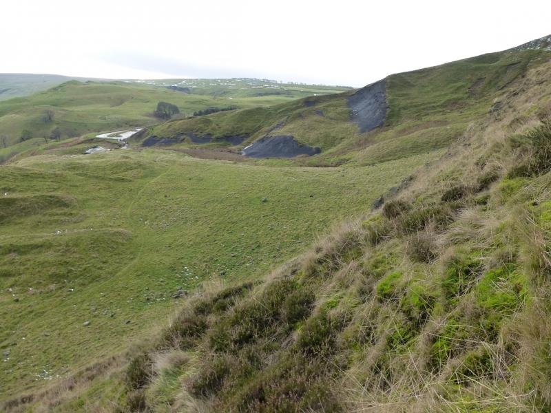
West of Castleton village. Approaching Castleton from the east on the A625 from Hope and Hathersage, go through the village past the main car park in the middle. Stay on the road west, ignoring the road through Winnats Pass. The road goes past the Peak Cavern and ends by the Odin mine on the left. This is actually the old main road which kept land slipping and eventually was closed. Park as close to the Odin mine as possible. Parking is usually free but this may change.
Distance/Time
2 km About 1 - 2 hours
Peaks
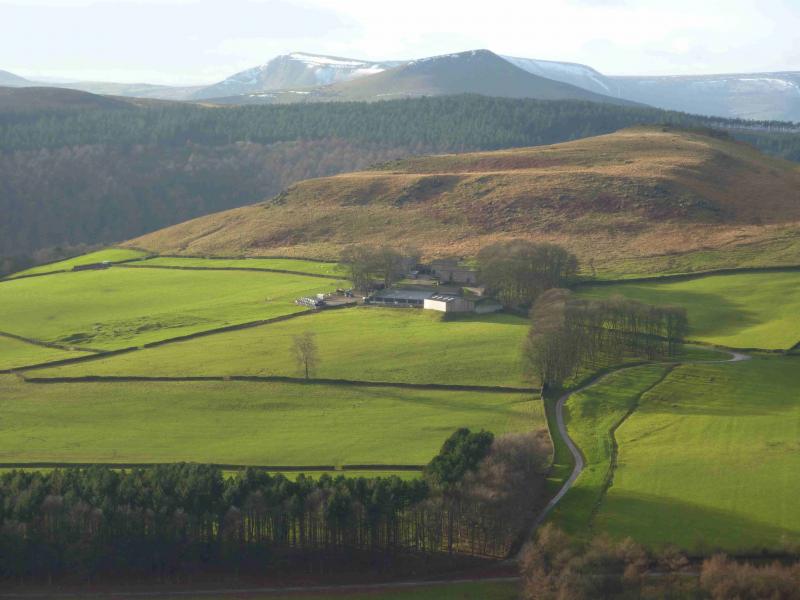
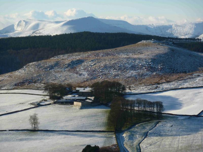
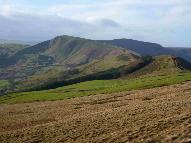
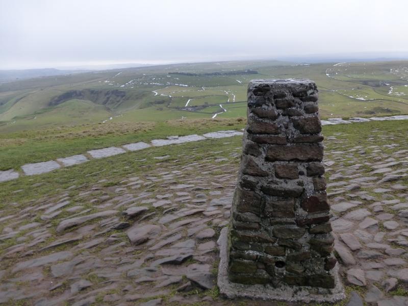
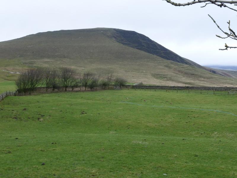
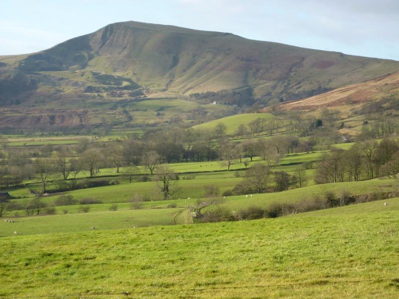
Mam Tor, 517 m, SK 127 836. OS Outdoor Leisure 1: Dark Peak
Introduction
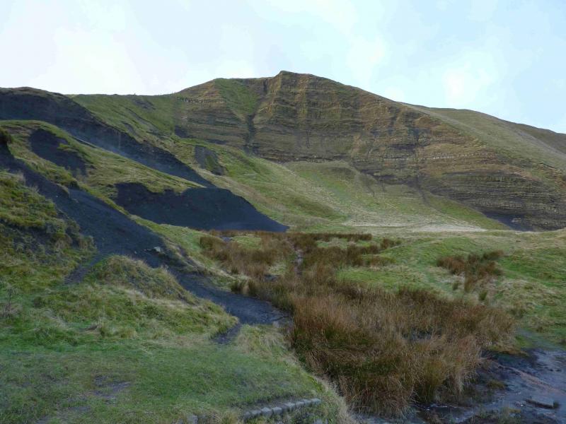
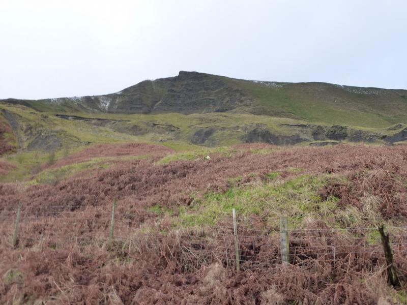
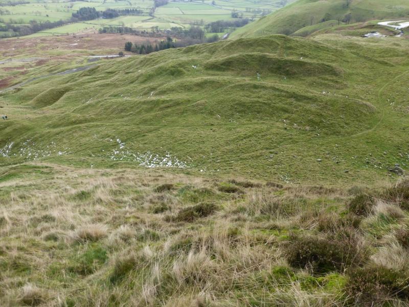
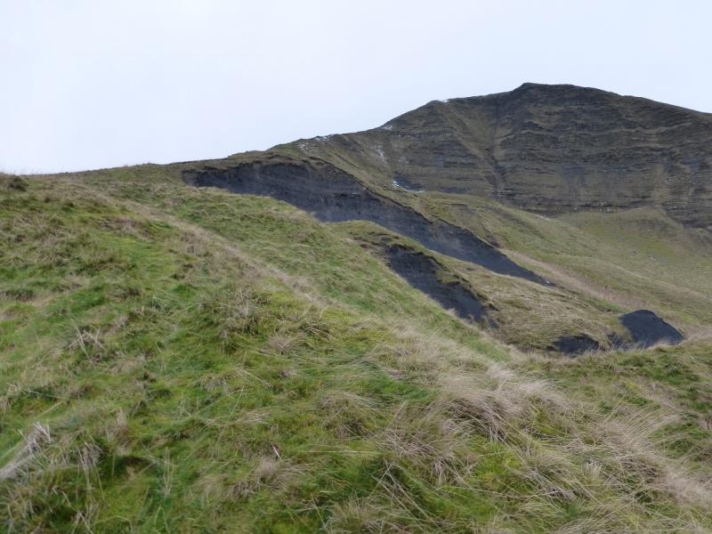
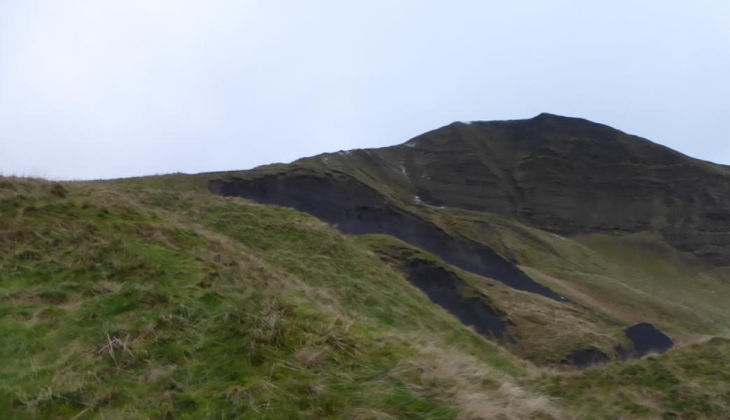
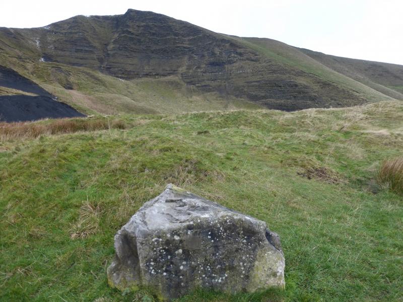
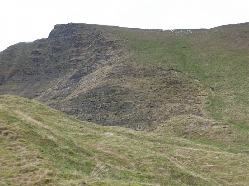
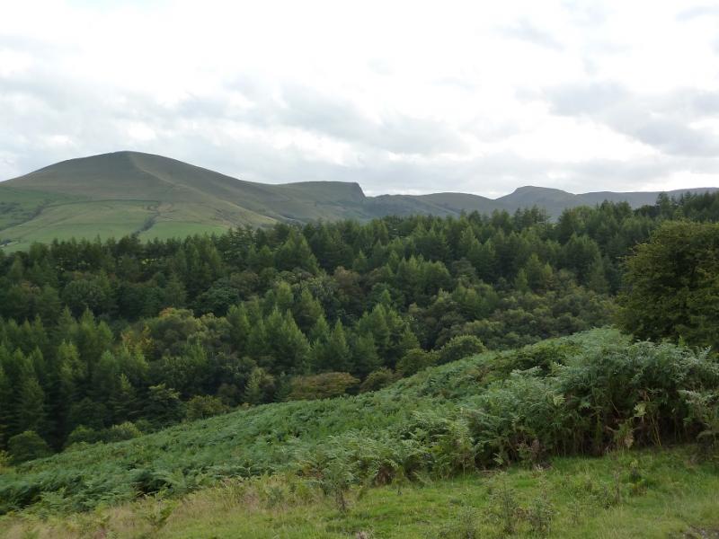
This is the quickest and most direct route up and down Mam Tor without using the steps up its west ridge. The ascent route goes up the very steep north east ridge which can be slippery when wet or under snow. It descends the slightly less steep east ridge which is also quite slippery then follows the land slipped road back to the start. The road now has miniature tar cliffs and tarry “crevasses” as a result of land slipping. The route is not for those who might be nervous on steep grass as a slip could result in a long slide. Because of its frequent land slips, Mam Tor is often referred to as “The Shivering Mountain”. Route finding should not be a problem even in bad weather but high winds can be very unnerving, especially on Mam Tor.
Route
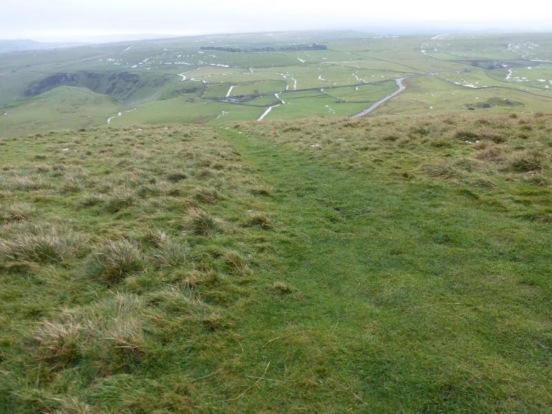
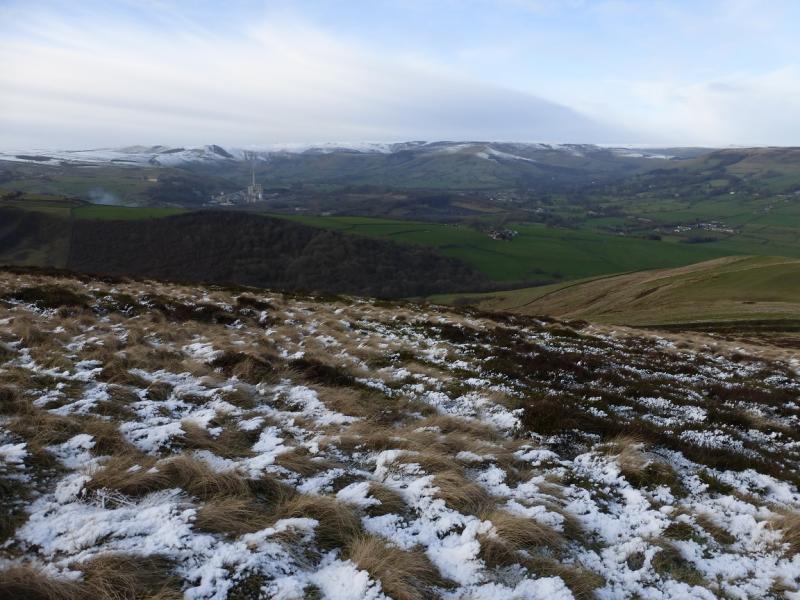
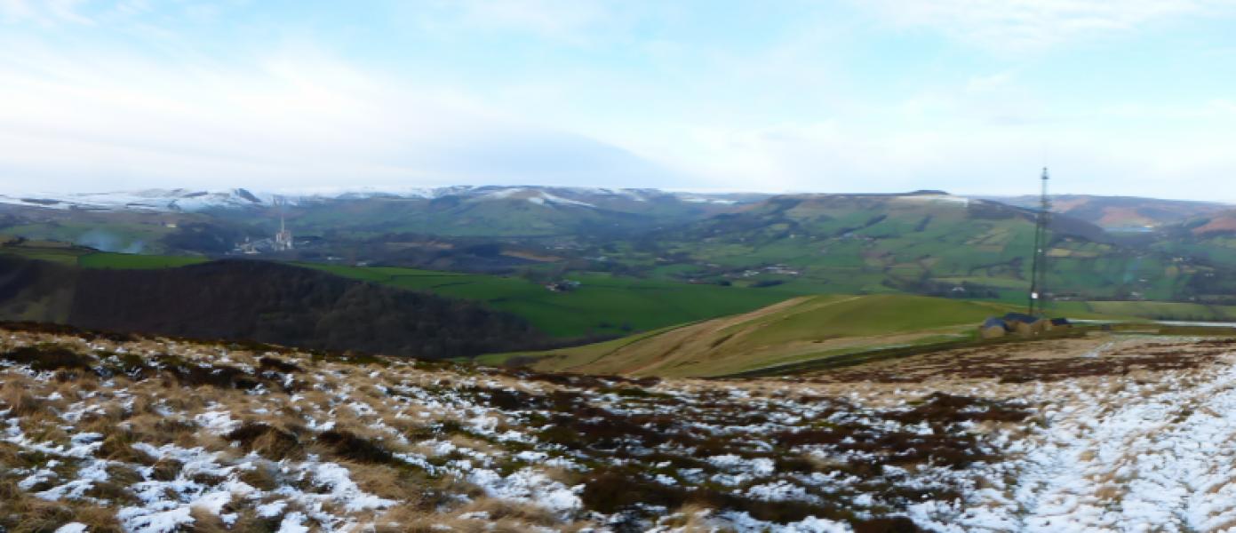
(1) Continue up the road past the Odin mine, past the notice and (almost) hidden white mile stone on the left behind a fence. Reach a small gate and take the path through it which cuts off a big corner on the old road. When the upper road is reached, cross over and head for the edge of the loose broken crags on the right, NE of Mam Tor. A faint path goes up the very steep ridge. It is quite a pull but, eventually, the angle eases and the slabbed path, coming from Hollins Cross, is reached. Go left, SSW, and soon reach the trig point which is the summit of Mam Tor, 517 m. Despite its modest height the summit is quite exposed and can be very windy.
(2) Walk almost due E from the summit and follow a grassy path down the E ridge. Whilst not as steep as the NE ridge, it can be very slippery so take it slowly. Lower down, the path joins the old road. Go left and follow this down hill back to the start walking through the most damaged section carefully as there are some drops which are easily avoided if noticed.
Notes
(a) This walk took place on 14th December, 2014.
Photos - Hover over photo for caption. Click on to enlarge. Click on again to reduce.