Get Lost Mountaineering
You are here: England » Peak District » Kinder, Harry Hut, Burnt Hill, Mill Hill & Wormstones from Glossop to Hayfield Road
Harry Hut, Mill Hill & The Knott
Harry Hut, Mill Hill & The Knott from the Grouse Inn on Hayfield to Glossop Road
Start/Finish
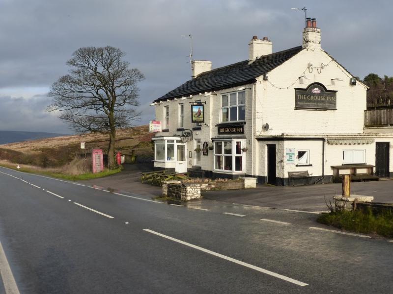
Long layby about 300 m N of Grouse Inn on Hayfield to Glossop road. Grouse Inn is about 2.5 miles from both Hayfield and Glossop on the A624. Coming from Buxton, take the A6 to Chapel-en-le-Frith then follow signs to Glossop. Coming from Chesterfield, take A619 to Baslow then A623 through Calver to Chapel-en-le-Frith then follow signs for Glossop. From Sheffield, take A57, Snake Pass, to Glossop then take A624 towards Hayfield.
Distance/Time
8 km About 2 - 3 hours
Peaks
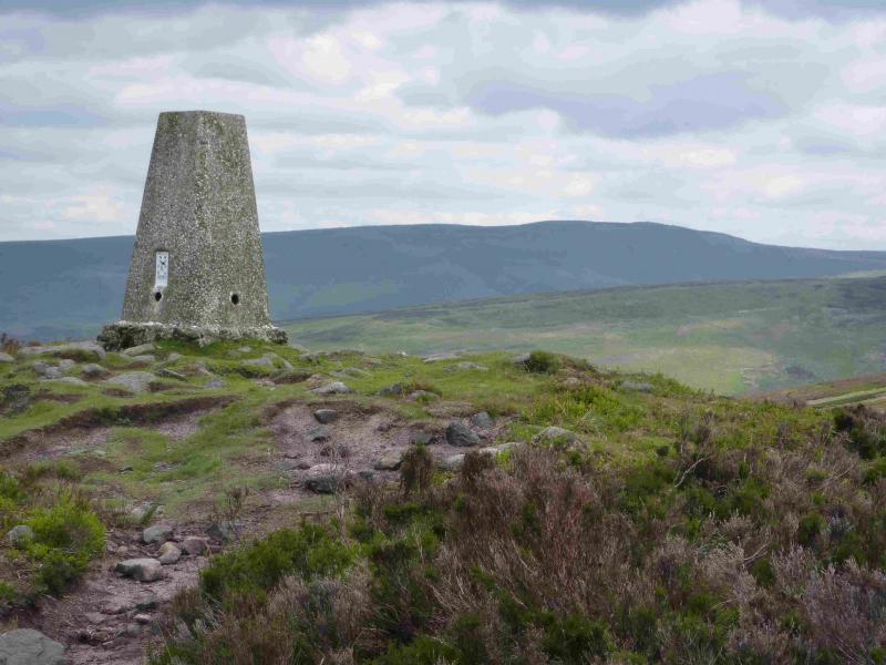
Harry Hut, 440 m, SK 044 907.
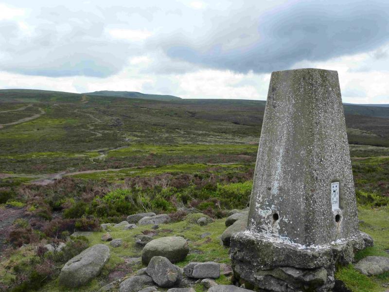
Mill Hill, 544 m, SK 061 504.
The Knott, 454 m, SK o46 893.
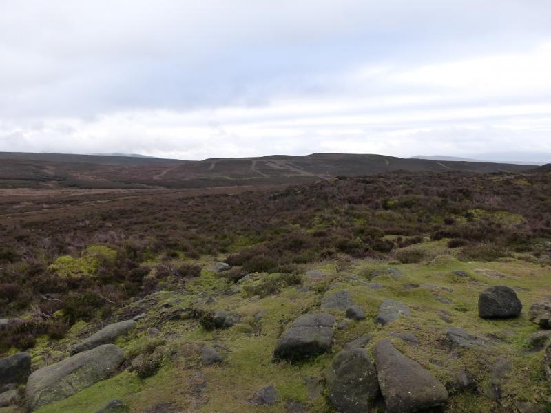
The rest of the walk is on edges, ridges and open moorland.
OS Outdoor Leisure 1: Dark Peak. OS 110 (1:50 000).
Introduction
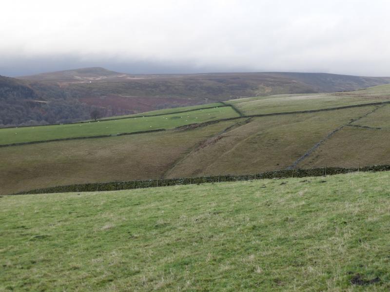
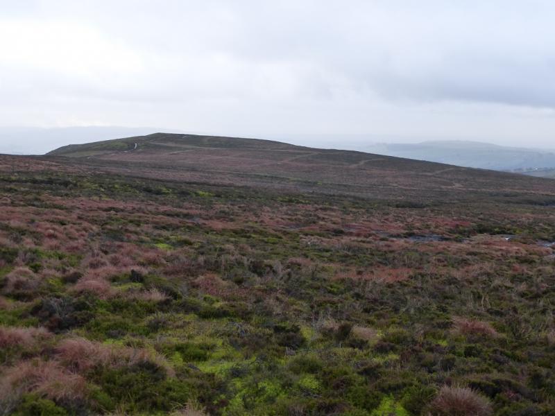
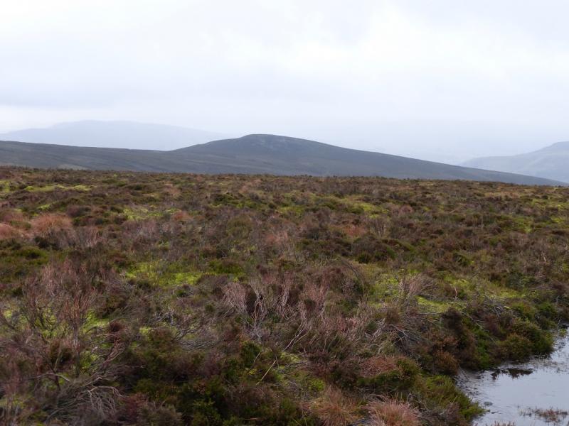
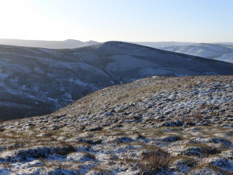
This is a short but pleasant walk which takes in three tops. Paths are good as far as Mill Hill, not too bad to The Knott but there are small patches of deepish heather on the descent from The Knott. Note that heather burning can sometimes take place near to The Knott, especially on Middle Moor, and this may lead to the day's walk having to be postponed. There are good views to Kinder, Cown Edge and Lantern Pike. The Grouse Inn is well placed but on 16/12/14, it was closed and up for sale.
Route
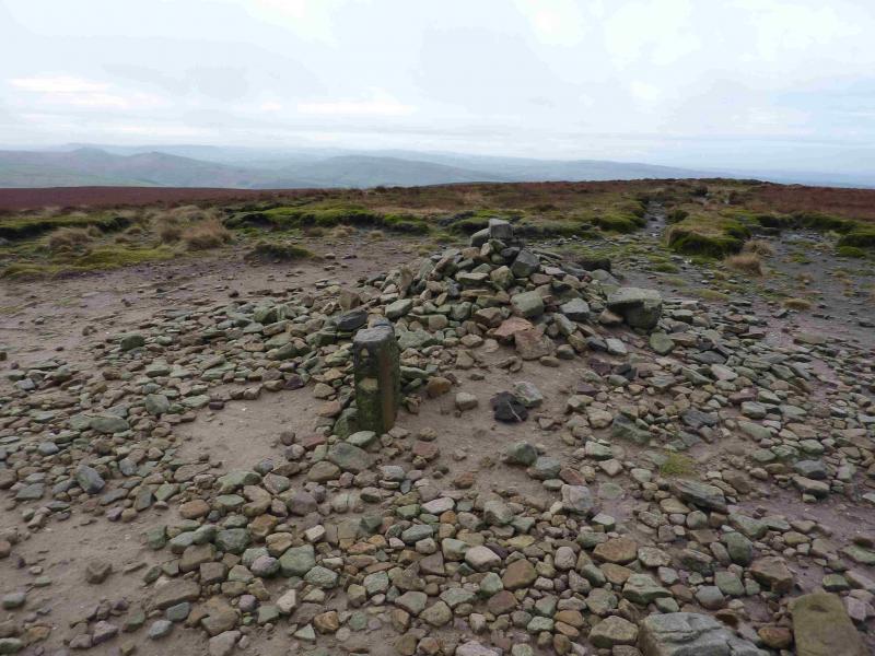
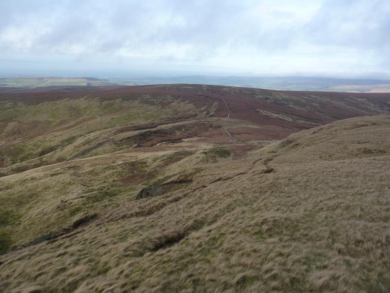
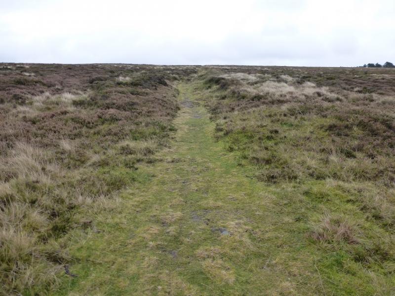
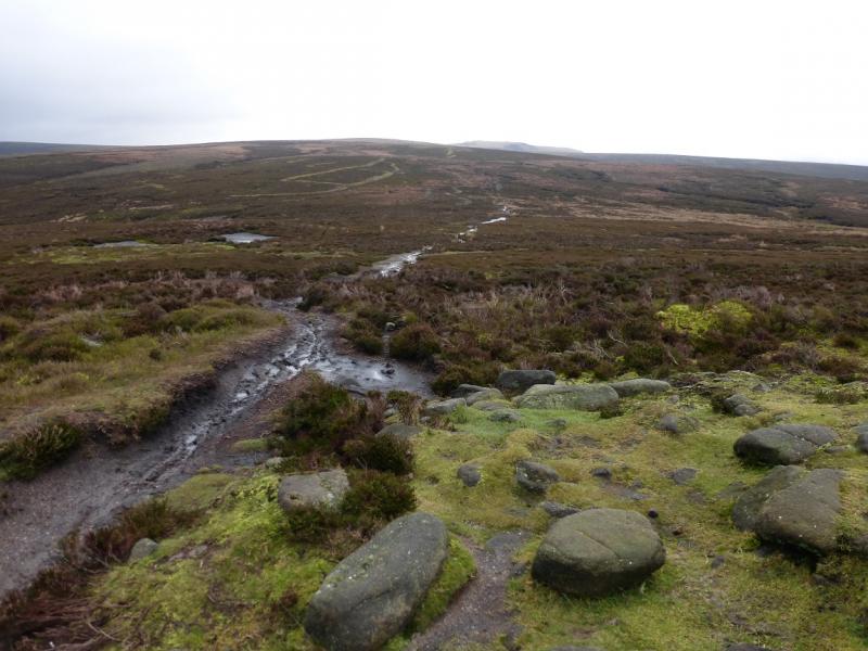
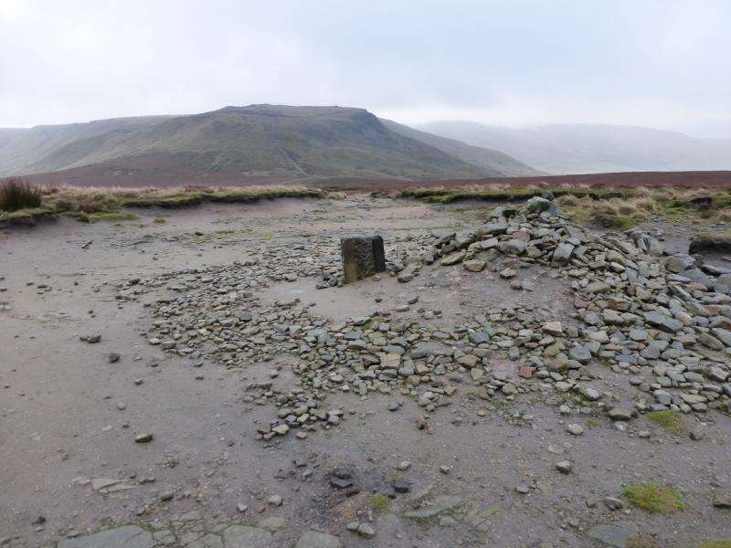
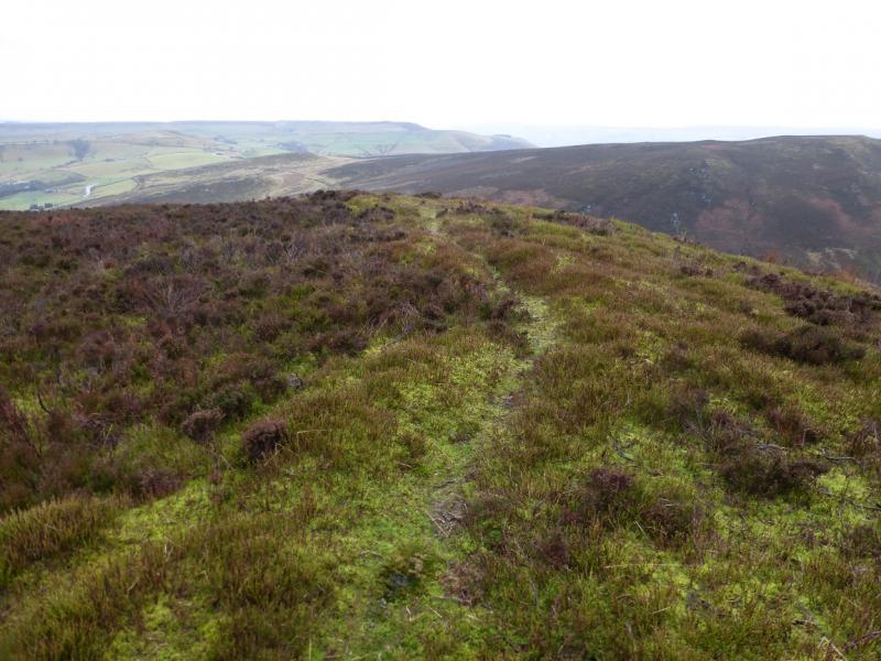
(1) Towards the end of the lay by furthest from the Grouse Inn, towards Glossop, is a stone stile. Go over this and follow the obvious path up a grassy strip through the heather. This gives an easy ascent which eventually leads to the trig point on Harry Hut, 440 m.
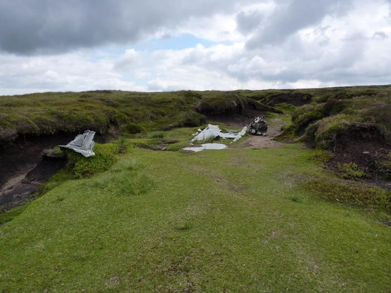
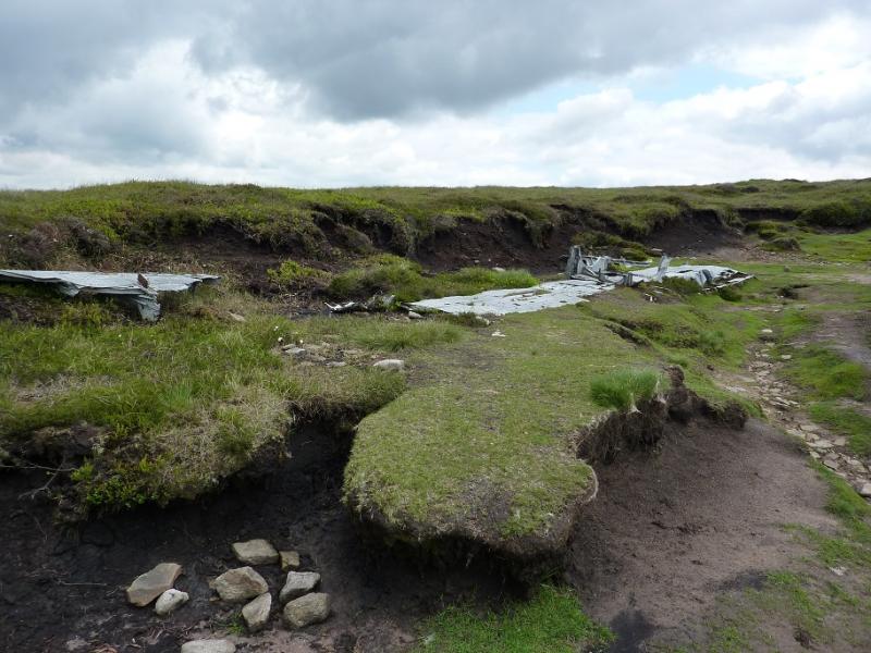
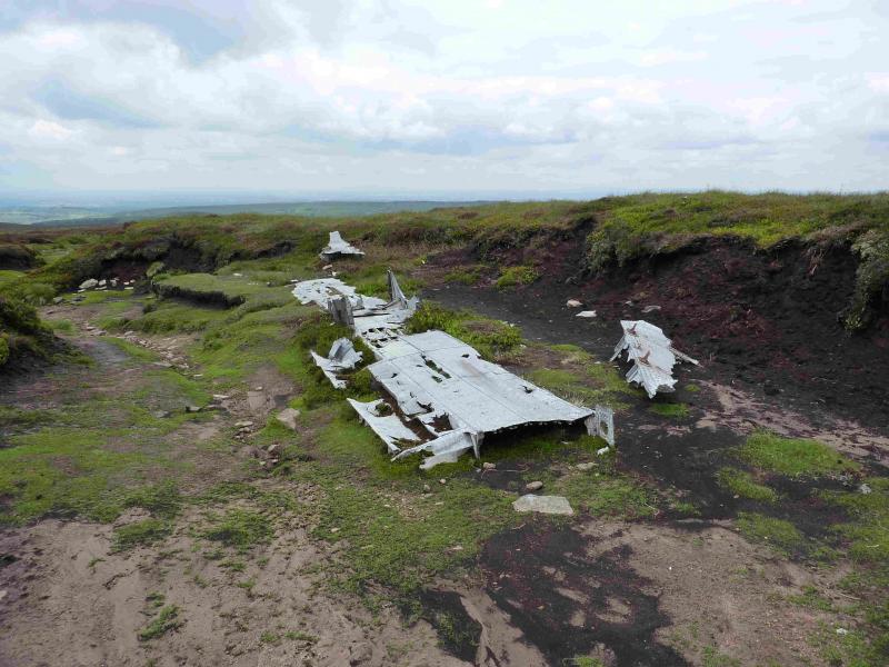
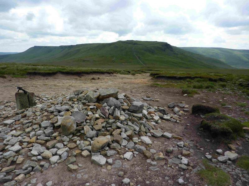
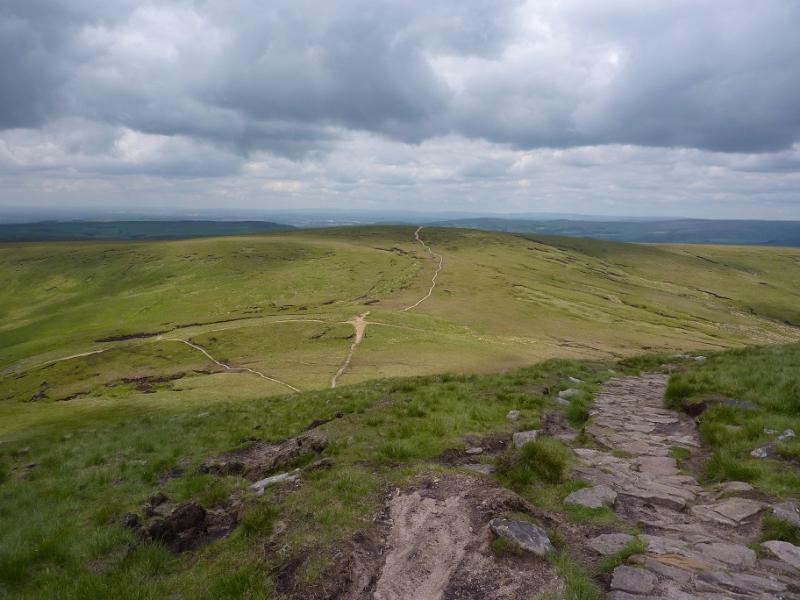
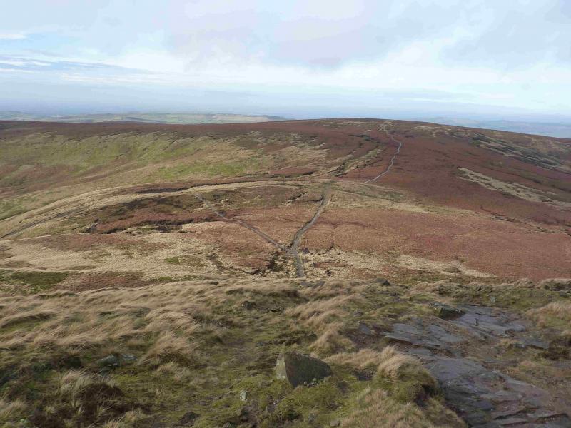
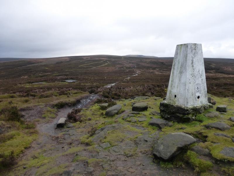
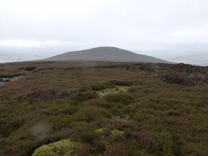
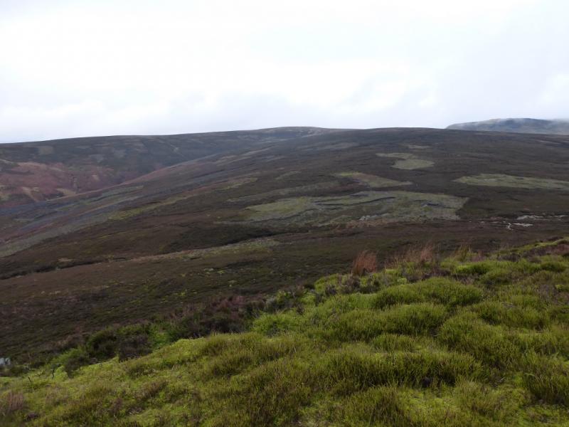
(2) Continue roughly right, descending slightly, still on the path which soon converges with a slabbed path coming from Burnt Hill to the south. Higher up, a clean grassy gully appears on the left in which there is some old aircraft wreckage. It is worth walking up this shallow gully as there is some more wreckage slightly higher up. The gully soon peters out and the slabbed path can be rejoined. Continue up, reaching a large but low cairn which is the summit of Mill Hill, 544 m. There is a crossroads of paths here. Ahead and left is the Pennine Way, to the right is a faint path heading towards Leygatehead Moor.
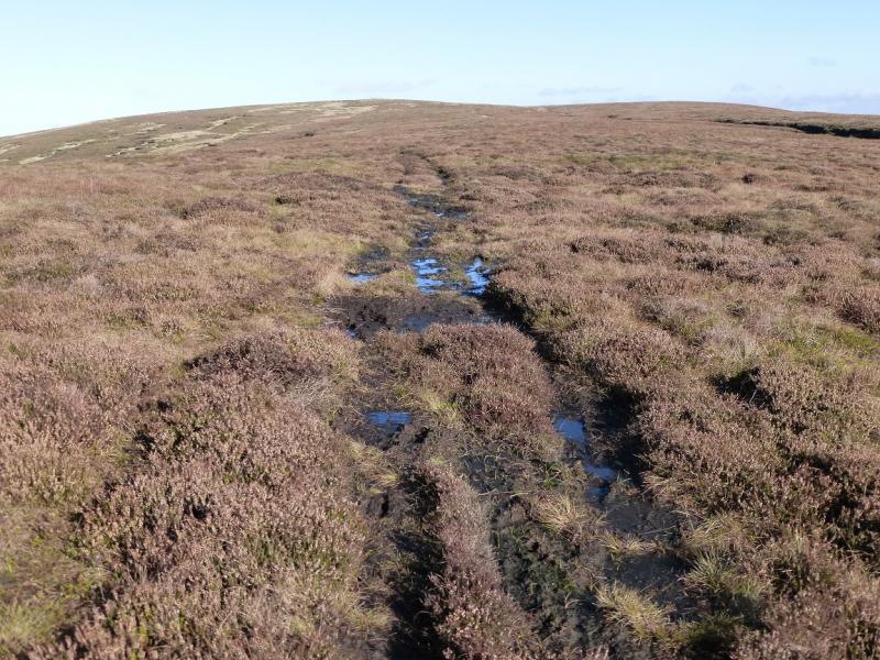
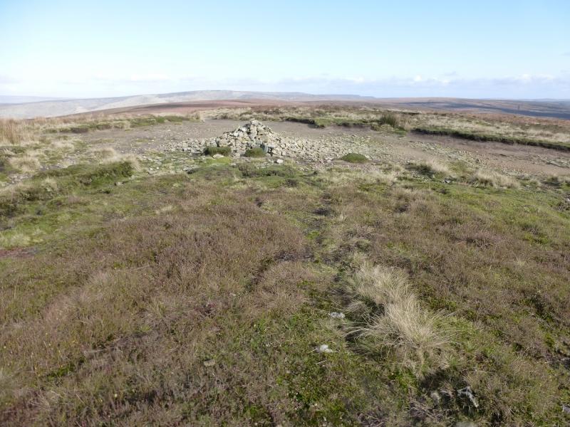
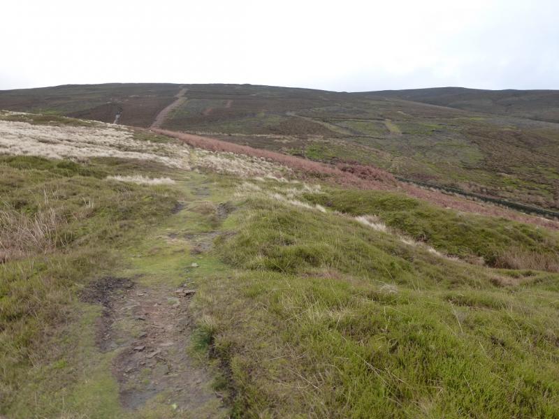
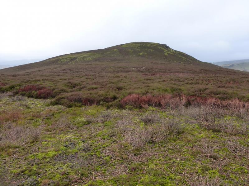
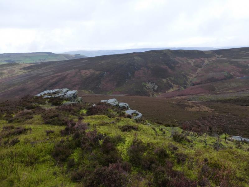
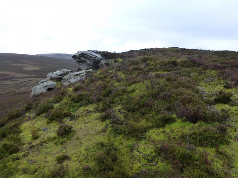
(3) With the path to Kinder straight ahead, there is a faint path and a wider path on the right towards Leygatehead Moor. Take the faint path (left fork from the wise path which is almost a track). Follow the path, roughly SW, which becomes more distinctive lower down. It appears to drift to the left of the line to The Knott but can be followed to a level section to the ENE of The Knott. Alternatively, take a more direct line but this can involve some rough heathery ground with just bits and pieces of paths. Once below The Knott, there is a path up, heathery in places, which soon leads to the grassy and heathery top where there seems to be no cairn but there is an outcrop just below the N edge. This is The Knott, 454 m.
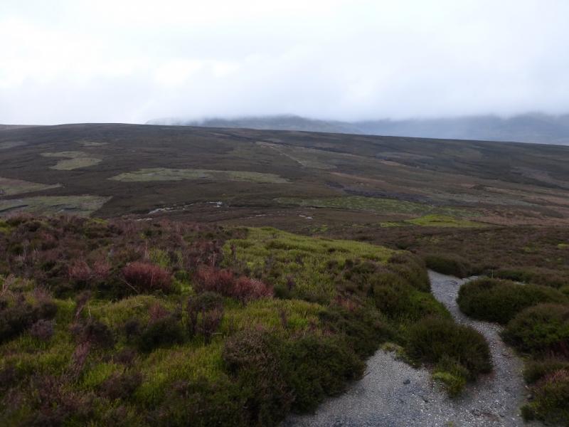
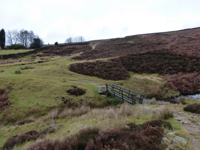
(4) Descend the W ridge, initially on a faint path but this can be difficult to follow where the heather is deeper so just pick the best way down, gradually drifting to the right towards the large and impressive Hollingworth Clough. Eventually, reach the bottom of the ridge where the path across Middle Moor can be joined just before crossing the footbridge at the bottom of Hollingworth Clough. Just before the path meets the road, it joins another track. Turn right on to this track and follow it uphill, shadowing the road. Ignore any turns which go away from the road and eventually reach the road at the turning for Charlesworth. Walk down the road for about 300 m to reach the Grouse Inn then a further 300 m to the car park.
Notes
(a) This walk took place on 16th December, 2014.
Photos - Hover over photo for caption. Click on to enlarge. Click on again to reduce.