Get Lost Mountaineering
You are here: Scotland » 02 River Tay to Rannoch Moor » North of Glen Lyon to Pitlochry
Stuchd an Lochain
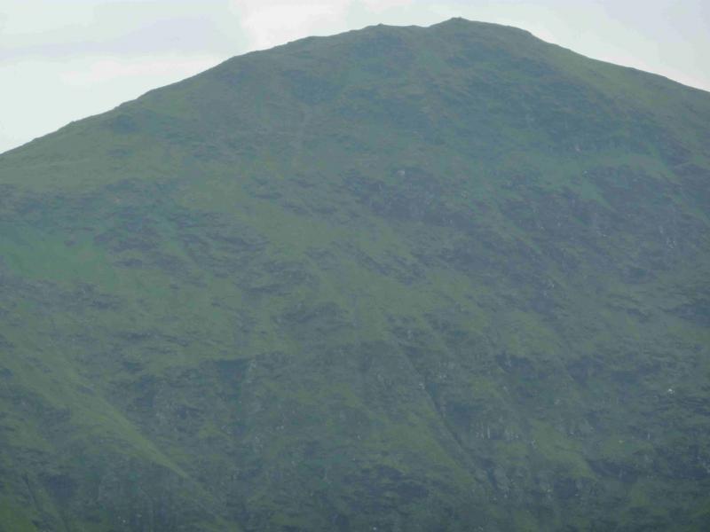
Stuchd an Lochain from Loch an Daimh off Glen Lyon
Start/Finish
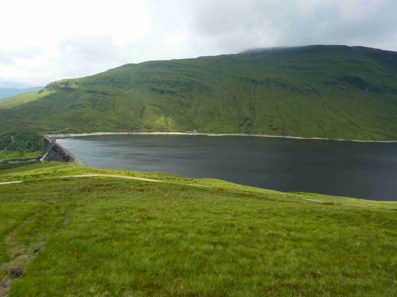
Loch an Daimh dam which is at the end of the road which branches off the main Glen Lyon road about 4 km west of the Bridge of Balgie which can be reached by driving over the high road from Loch Tay. Parking near the dam should not normally be a problem. Note that an alternative route from Killin using the road from upper Glen Lochay to Glen Lyon is no longer fit for cars and is now closed off to cars.
Distance/Time
9 km. About 4 - 5 hours.
Peaks
Sron Chona Choirein, 927 m, NN 493 445.
Stuchd an Lochain, 960 m, NN 483 448. OS Sheet 51.
Introduction
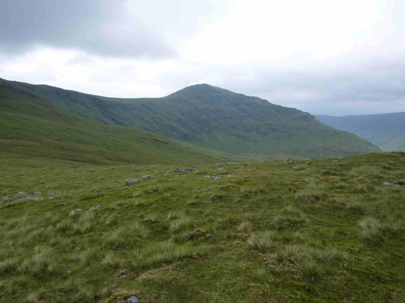
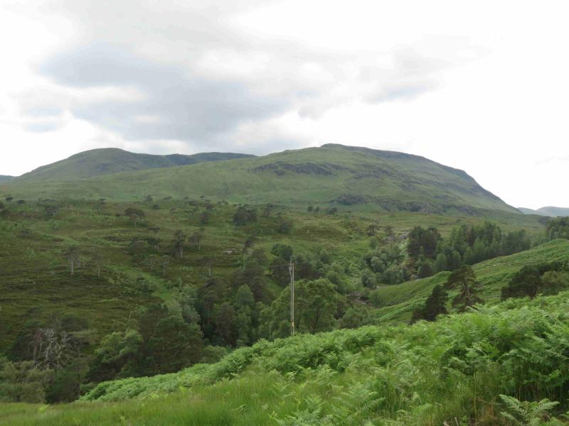
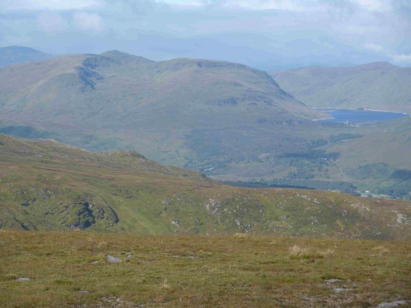
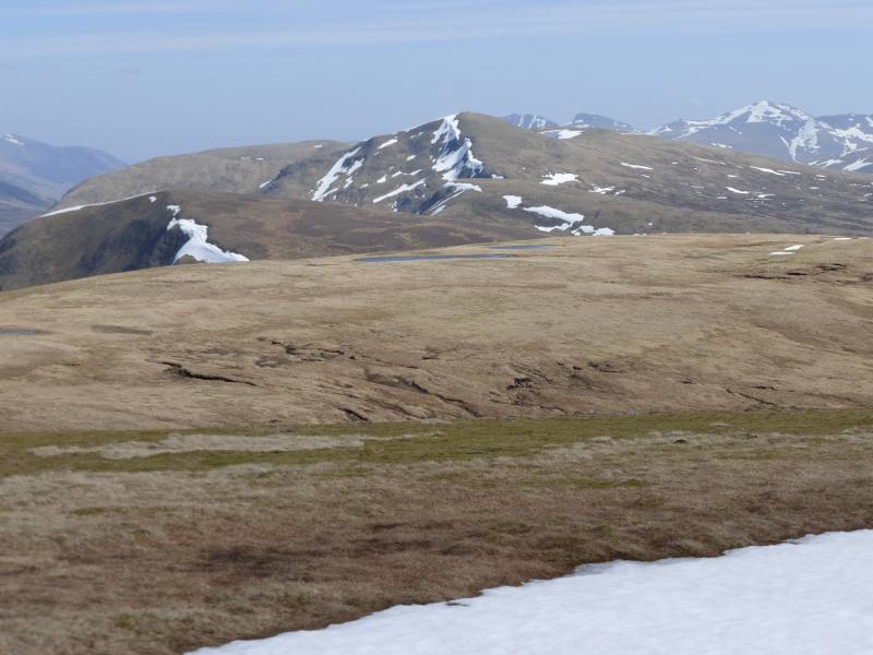
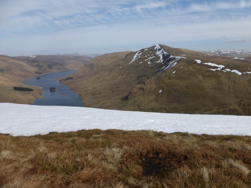
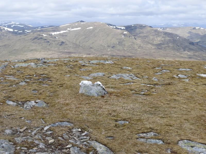
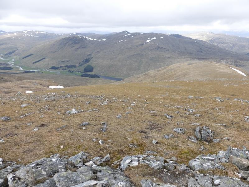
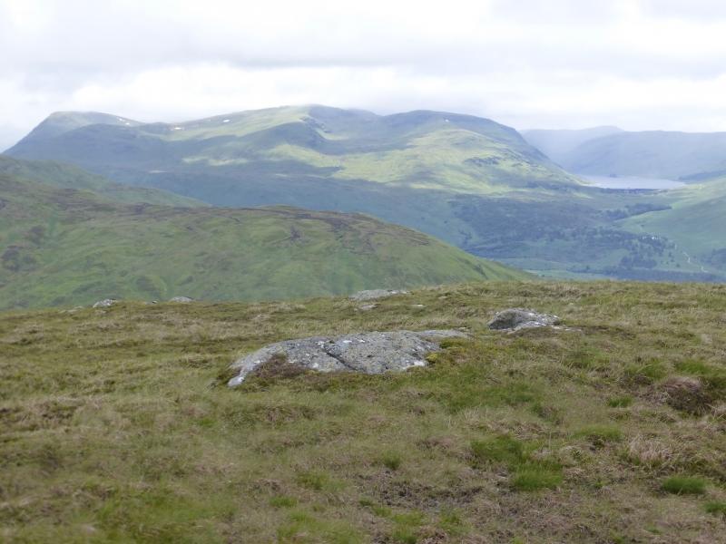
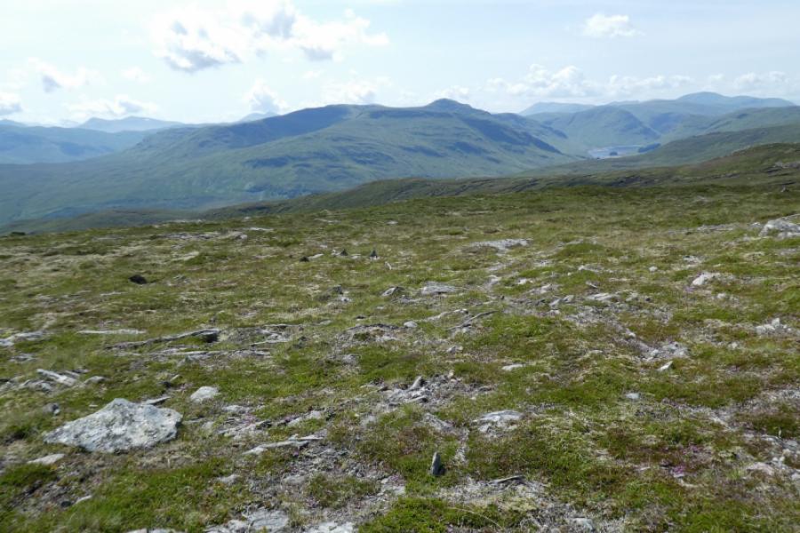
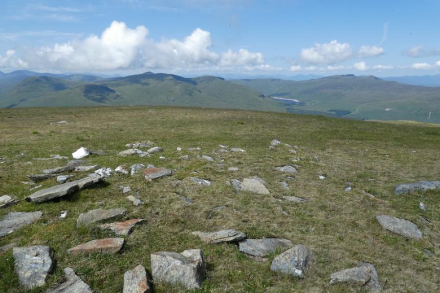
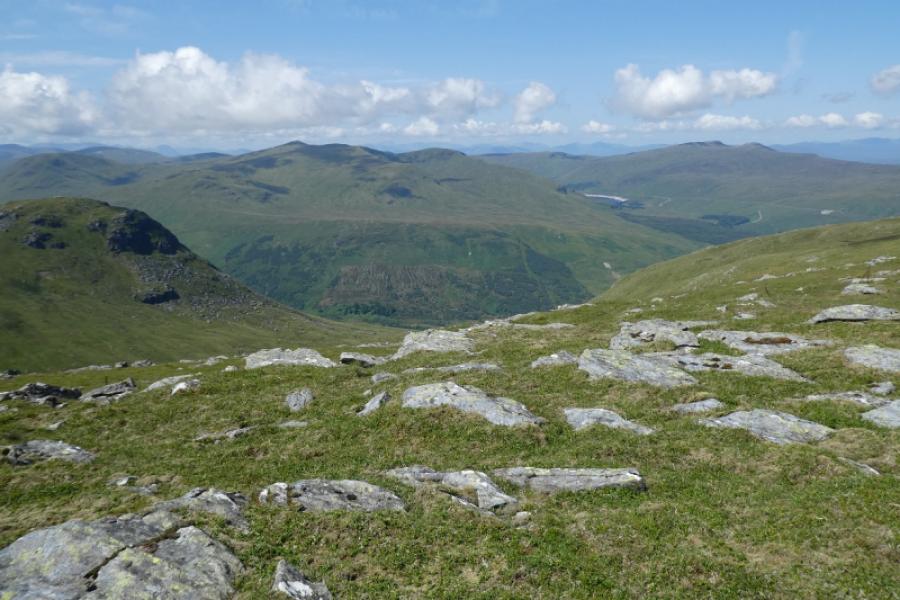
This is an easy high moorland mountain which offers fairly quick access and fine views in all directions including the Ben Lawers range, the Glen Lochay hills, the Glen Lyon hills and further. The ascent path is quite boggy in places. There are significant crags on the descent route but these are easily avoided in clear Summer conditions. Many walkers “rush” this hill to get back to the dam to climb Meall Buidhe (on the north side of Loch an Daimh) so descend by the ascent route as the quickest option. Descending the north ridge of Stuchd an Lochain gives a more pleasant circuit and, for most walkers adds less than an hour to the walk.
Route
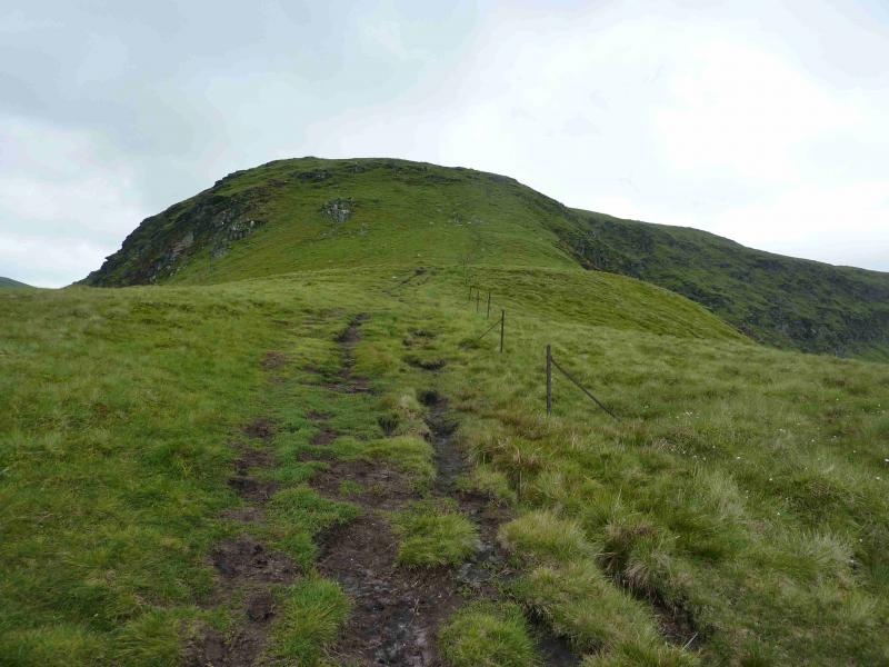
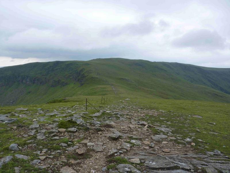
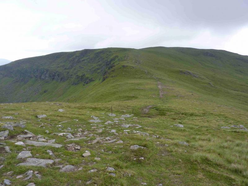
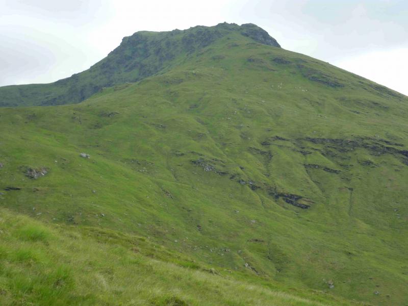
(1) Walk up the tarmac road to the south end of the dam. Continue on the track until the obvious path (small cairn) goes uphill just after a right hand bend. Follow the path as it slants gently across the hillside, with some boggy sections, before it turns south and climbs more steeply to reach the east ridge of Top 887 where a line of old fence posts is joined. Follow the fence posts to the small cairn on the summit of Top 887. Descend roughly S, still following the line of fence posts, into a bealach then ascend up the other side. The main path traverses Sron Chona Choirein on its N side but little extra effort is required to reach the summit so leave the main path and follow the line of fence posts which pass just to the north of the summit where there is a small cairn which marks the summit of Sron Chona Choirein, 927 m.
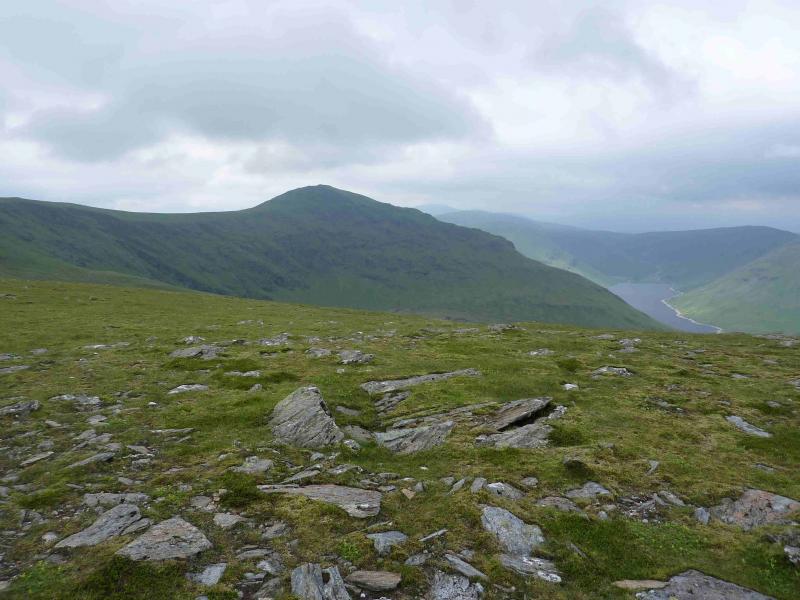
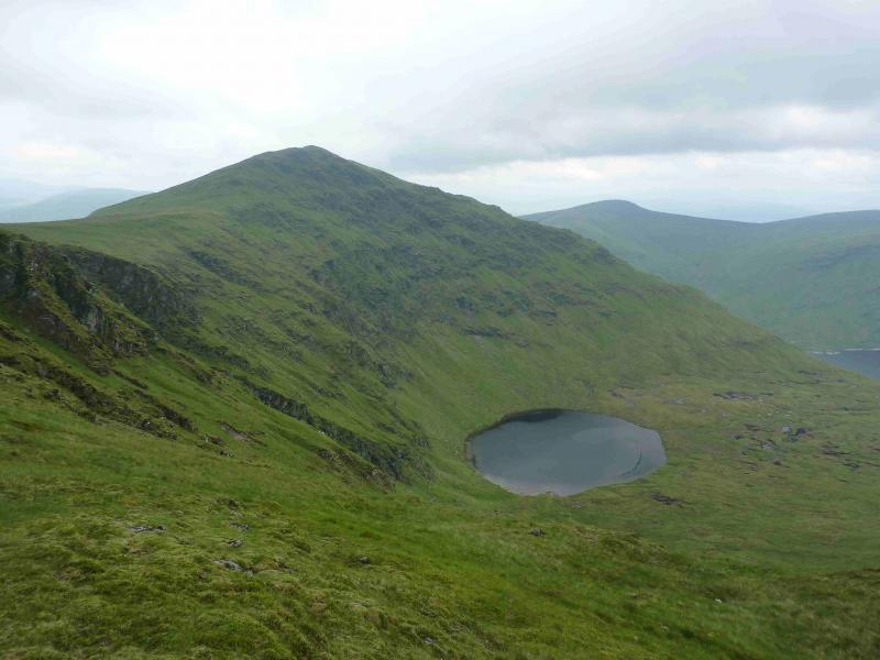
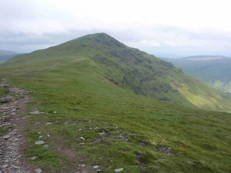
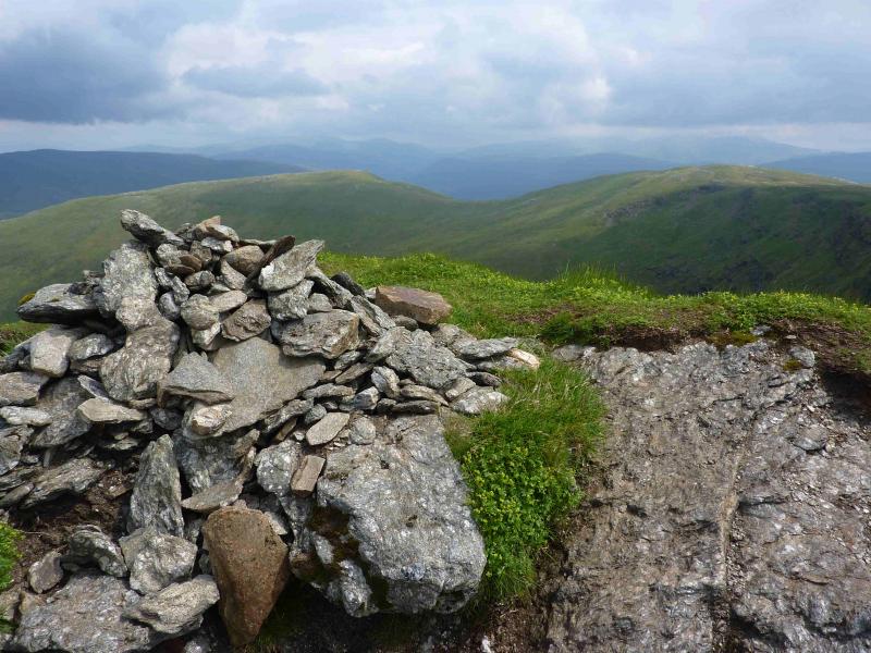
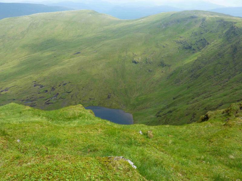
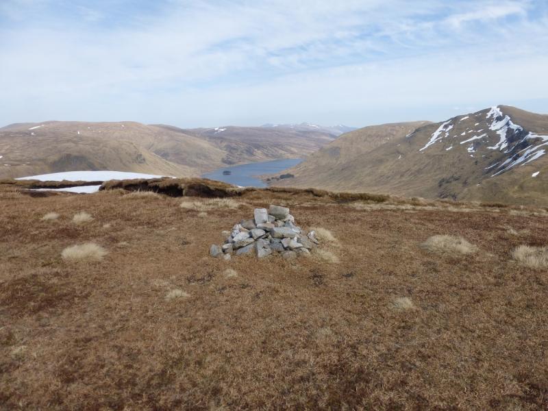
(2) Return to the line of fence posts and follow these, descending gently, until they rejoin the main path. Follow the path along the crest, noting the picturesque Lochan nan Cat below to the north, at the end of which is a short ascent to a medium cairn, on the edge of a steep drop, which marks the summit of Stuchd an Lochain, 960 m.
(3) The simplest descent is by the route of ascent but a pleasant circuit can be enjoyed by descending the N ridge. This is initially easy but lower down a large crag has to be turned on the right. A faint path helps here but then soon disappears. Lower down, the gradient steepens and there are more crags which need to be avoided – quite easy in Summer conditions. When almost down, aim for the obvious wood (shown on the map), cross the burn, not usually a problem, then pass the wood about 100 m to its S. From here, contour across the grassy hill side, with little hint of a path, until the boat house is reached then walk back along the track to the dam.
Notes
(a) This walk took place on 16th April, 1995, 9th August, 2007, and 6th July, 2012.
Photos - Hover over photo for caption. Click on to enlarge. Click on again to reduce.