Get Lost Mountaineering
You are here: England » Peak District » Kinder, Brown Knoll & South Head from Hayfield
Kinder NW & Down Fall via Sandy Heys
Kinder NW & Down Fall via Sandy Heys
from Hayfield campsite or Bowden Bridge car park
Start/Finish
Hayfield campsite or Bowden Bridge car park. If coming from the south or east, take the A619 from Chesterfield to Baslow before picking up the A623 signed for Manchester. Those approaching from Buxton, on the A6, will meet this route at a roundabout just before Chapel-en-leFrith. Soon after, take the A624 signed for Glossop. Continue on this road until the right turn into Hayfield village is reached. Turn in then go left and pass the church before crossing the river then follow the road on the N side of the river until past the Sportsman pub. Soon after there is a right turn, over a bridge, for the camp site. There are public toilets just across this bridge. The Bowden Bridge car park is a little further along the road after this turning. Those approaching from Glossop should fork left on the one way street into the village until the above route is joined. There are a few signs in the village for the camp site which may help.
Distance/Time
9 km About 4 - 5 hours
Peaks
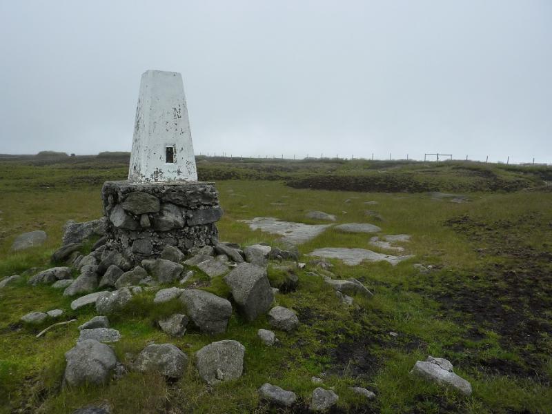
Kinder NW Trig Point, 624 m, SK 077 894.
OS Outdoor Leisure 1: Dark Peak. OS 110 (1:50 000).
Introduction
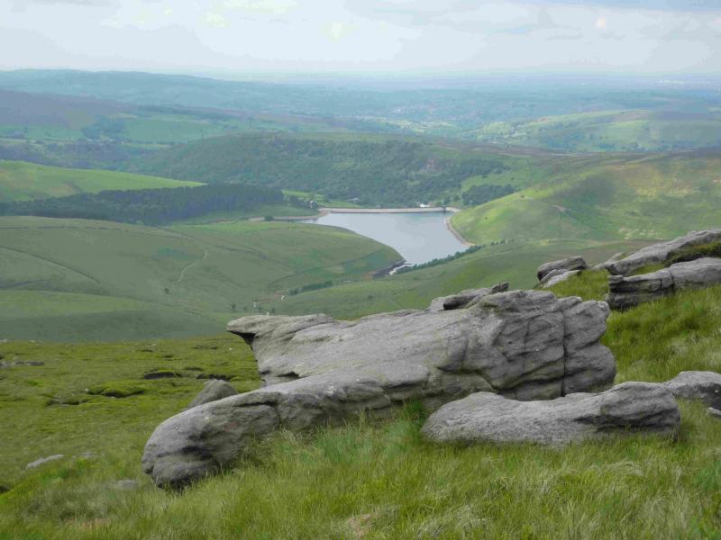
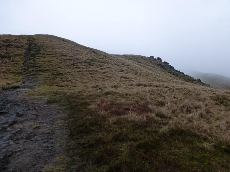
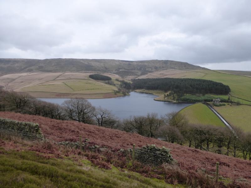
This is a lovely short walk which goes up a pleasant ridge to reach the edge of the Kinder plateau at Sandy Heys, goes along the west edge of Kinder, visiting the NW trig point en route then continues to Kinder Downfall before returning by the same route so this may not appeal to many. This route arose from a desire to get some better photos of the ridge up to Sandy Heys but the weather was poor on the ascent but improved later hence the decision to return the same way to take the photos. The camp site at Hayfield is very pleasant and well equipped. It is owned by the Camping and Caravanning Club. The rates for members, about £7 less per night, are very much below those for non-members. It may be worth joining as it only takes about six nights to break even. The path up the mainly grassy ridge to Sandy Heys is very easy to follow and only moderately steep. The route is not too boggy with the worst section being alongside Kinder Reservoir.
Route
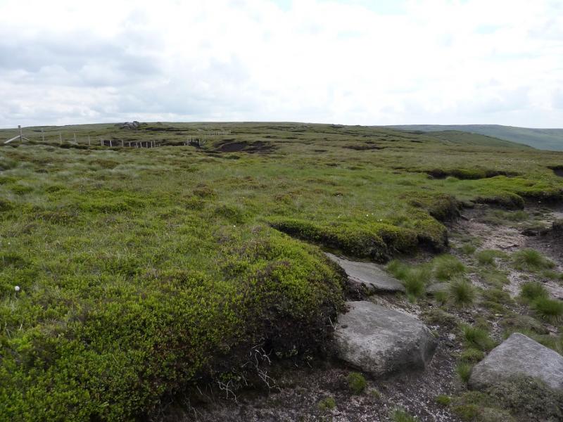
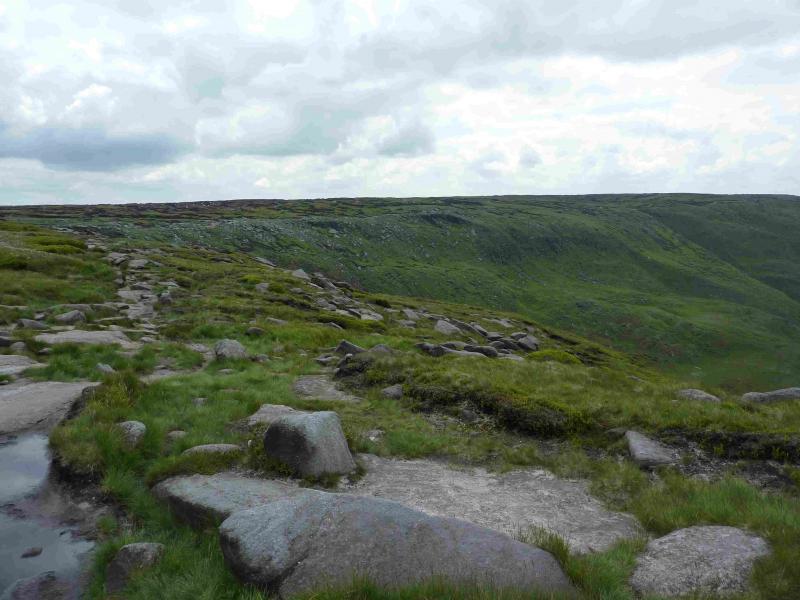
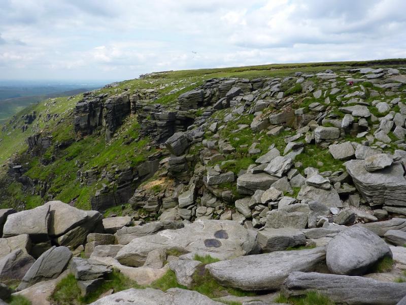
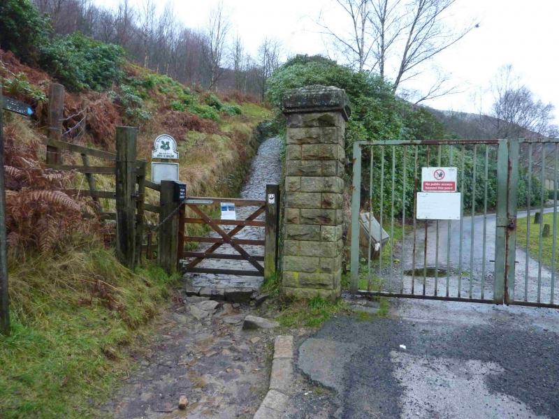
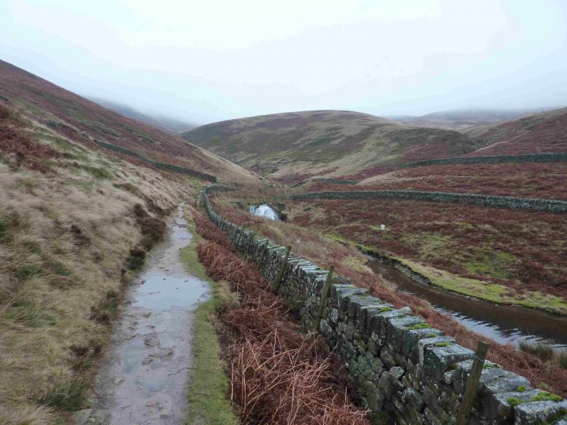
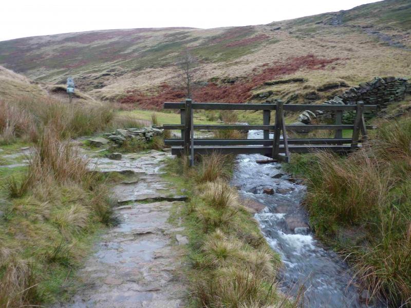
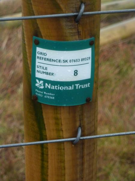
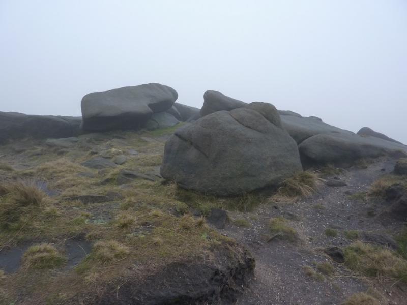
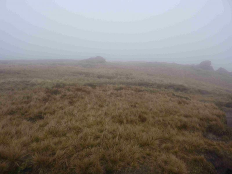
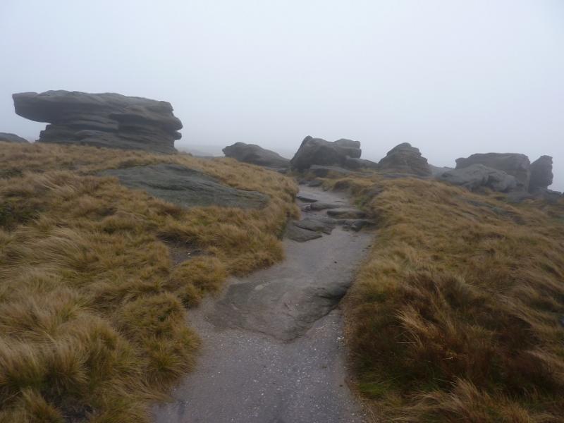
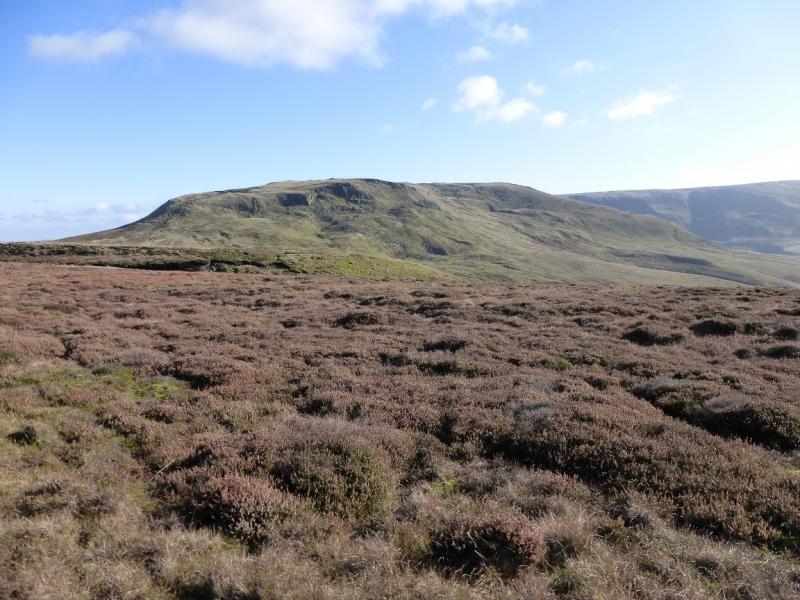
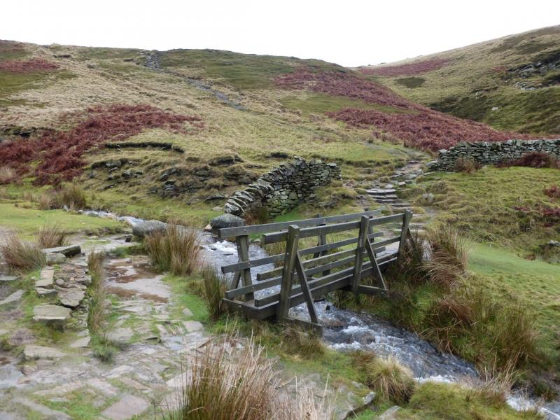
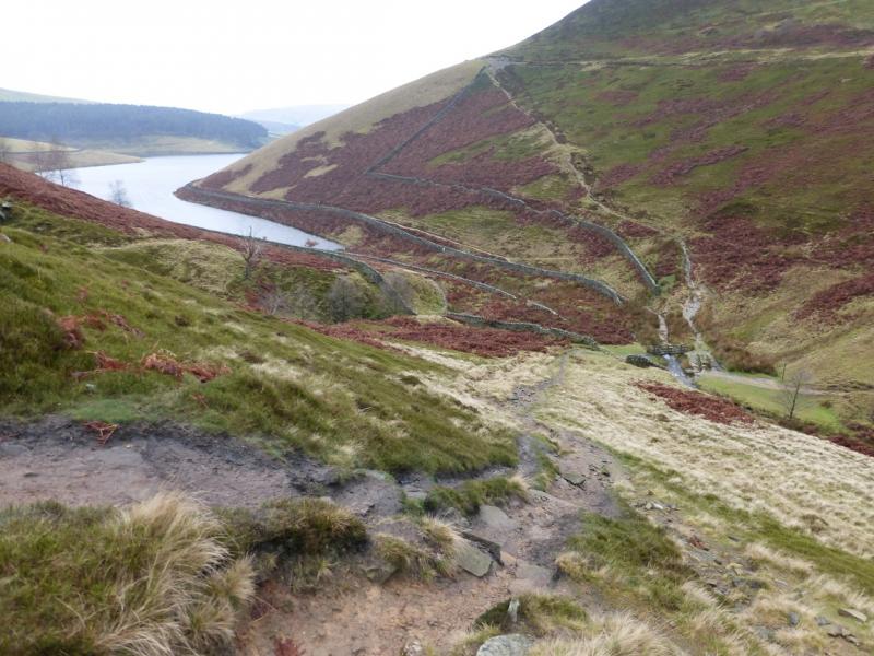
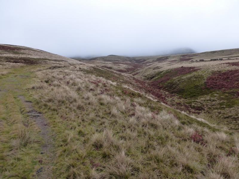
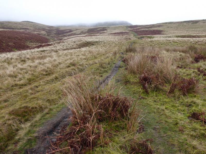
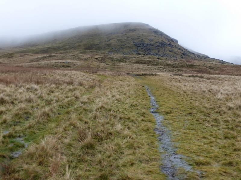
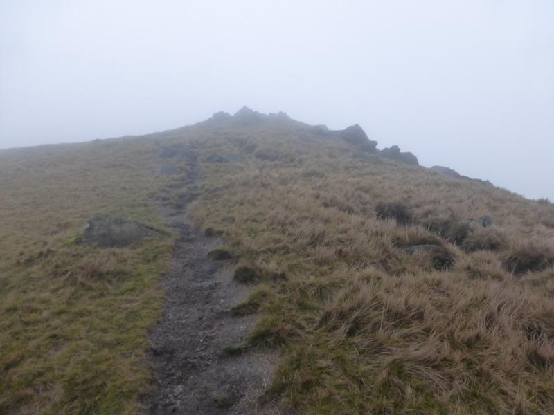
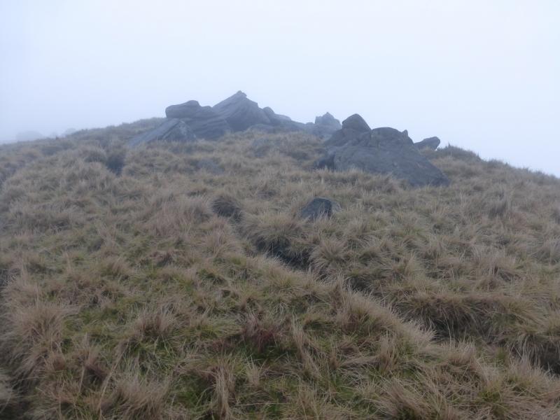
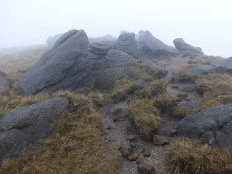
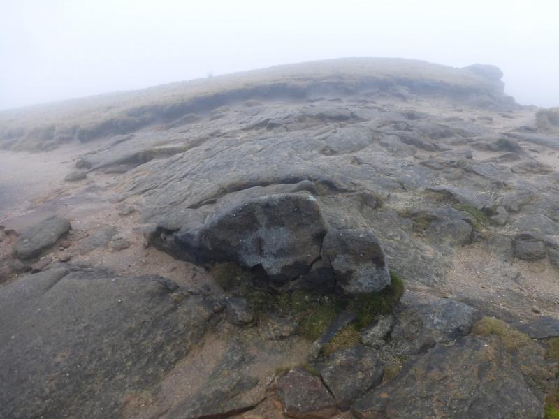
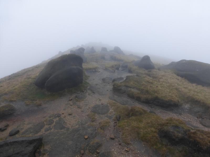
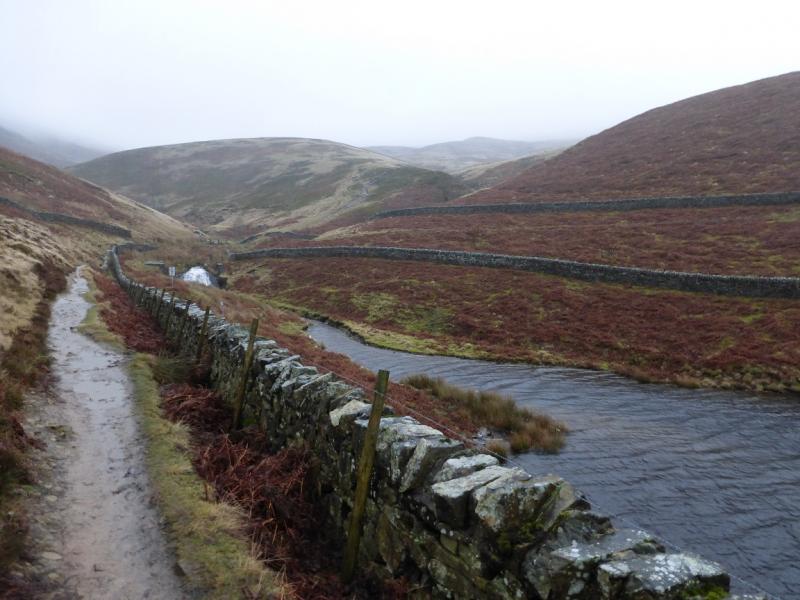
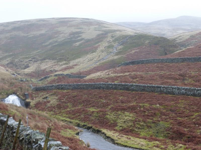
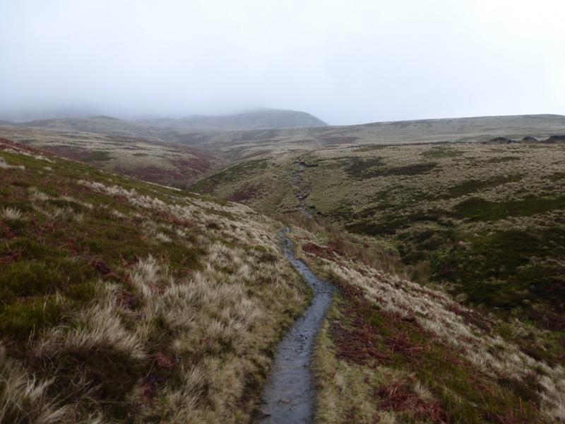
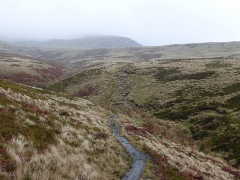
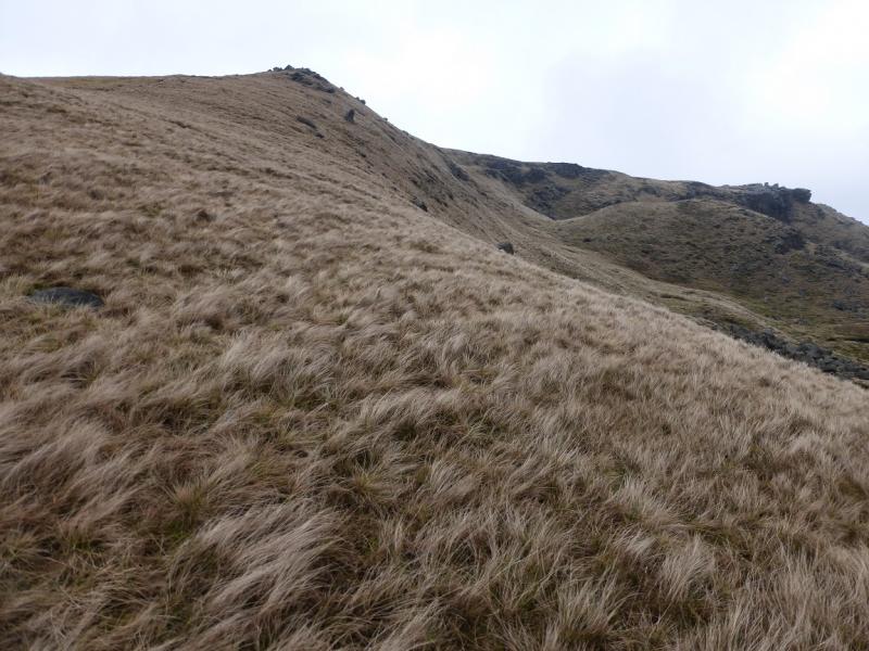
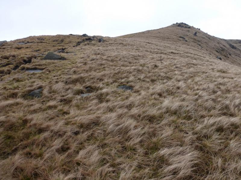
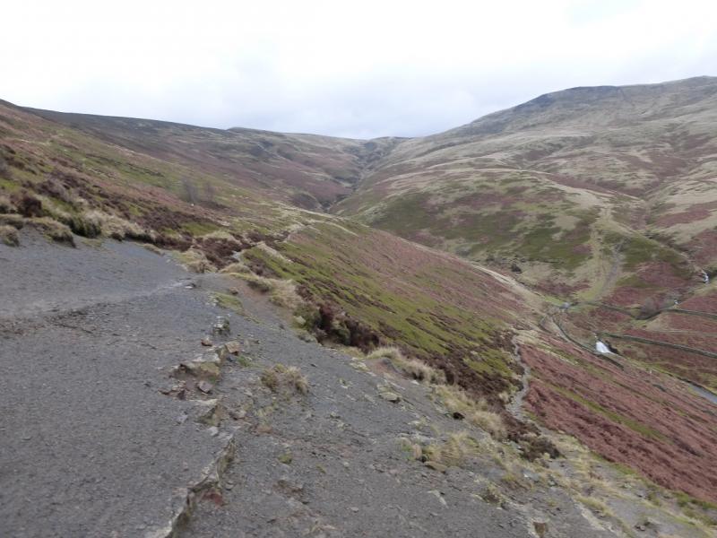
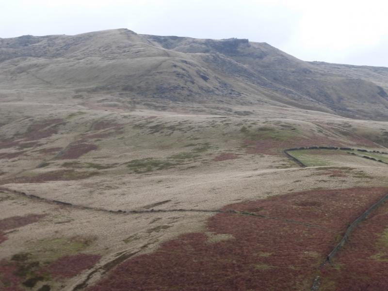
(1) From Bowden Bridge car park, continue up the road (do not cross the bridge by the car park). Soon the private road going up to Kinder Reservoir is reached. This usually has locked gates across it so turn right, cross the bridge then follow the footpath on the right of the river. This leads up to a footbridge which is crossed to gain the top of the private road by another gate. A small footpath gate is on the left of the large gate with a sign saying White Brow. Take this footpath, which is quite steep and cobbled. When it levels out, follow it along the wall on the W side of the reservoir and up the side of the N spur of the reservoir to reach a footbridge. Just beyond the bridge is a sign saying William Clough. Cross the footbridge and follow the obvious path upwards. It is mainly grassy, not too boggy, very easy to follow and no more than moderately steep in places. Higher up, the path detours slightly left to avoid boulders on the ridge. Higher up, there are outcrops which are easily walked through. The ridge ends on the W edge of Kinder plateau where the edge path turns through a right angle. Follow the very obvious edge path to the right. Kinder NW Trig Point lies off this edge path and is on the Kinder Plateau. Follow the edge path to a “summit” by an outcrop after which the path descends. A fence, visible much of the way from the edge path should be seen to the left. In clear weather, the trig point itself may be seen. If not walk to the fence and follow it shadowing the edge. There are a few stiles but one is about 40 m from the trig point which is slightly to the right. This is actually labelled as Stile 8 and has its grid reference on it. Note that Kinder NW Trig Point, 624 m is not the highest point in this area. In thick weather, the fence may not be seen from the path “summit” so, if you are sure you are in the right place (!), walk at 1 o'clock from the “summit” to meet the fence then follow it to Stile 8. If you cannot see the Trig Point – it is white and does not stand out in mist – from Stile 8 then also walk at about 1 o' clock for about 40 m. An even surer way to reach Stile 8, although slightly longer, is to stay on the edge path until a fence crosses it then follow this fence back to Stile 8.
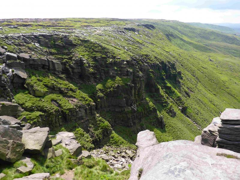
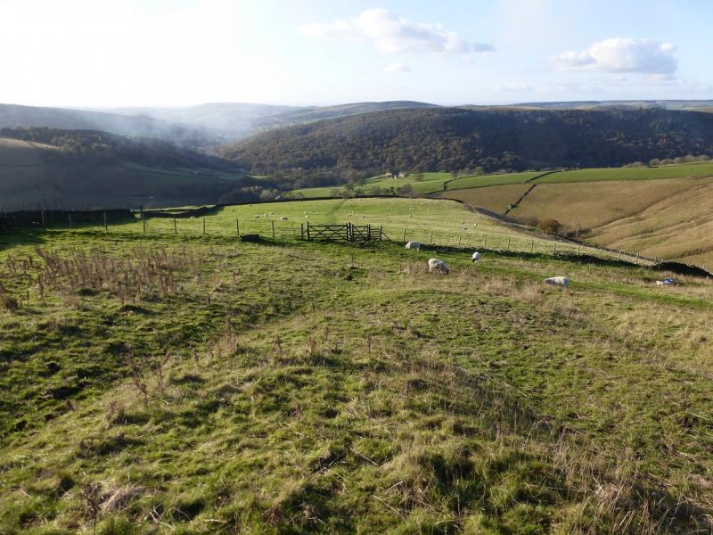
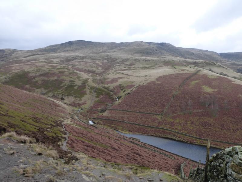
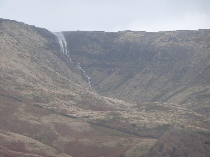
(2) From the trig point return to the stile then follow the fence the other way. It turns at right angles then meets the edge path soon after and this can be followed to the downfall. In just over 2 km from the NW corner, the edge path cuts into the plateau to reach Kinder Downfall with cliffs either side. This is a good place for lunch. Retrace the outward route but stay on the edge path as the NW trig point has already been visited. A short extension and variation can be made on the return. When the bridge at the foot of William Clough is crossed, take the path straight ahead which climbs on to White Brow from where there is a very good view of the ridge up to Sandy Heys. Follow this path until it splits. Take the left fork and soon reach the bridlepath which descends, left, down to the path by Kinder Reservoir.
Notes
(a) This walk took place on 12th January, 2015.
Photos - Hover over photo for caption. Click on to enlarge. Click on again to reduce.