Get Lost Mountaineering
You are here: England » Peak District » Kinder, Brown Knoll & South Head from Hayfield
Kinder NW Edge via Sandy Heys, Mill Hill, Leygatehead Moor & Middle Moor
Kinder NW Edge via Sandy Heys, Mill Hill, Leygatehead Moor & Middle Moor from Hayfield campsite or Bowden Bridge car park
Start/Finish
Hayfield campsite or Bowden Bridge car park. If coming from the south or east, take the A619 from Chesterfield to Baslow before picking up the A623 signed for Manchester. Those approaching from Buxton, on the A6, will meet this route at a roundabout just before Chapel-en-leFrith. Soon after, take the A624 signed for Glossop. Continue on this road until the right turn into Hayfield village is reached. Turn in then go left and pass the church before crossing the river then follow the road on the N side of the river until past the Sportsman pub. Soon after there is a right turn, over a bridge, for the camp site. There are public toilets just across this bridge. The Bowden Bridge car park is a little further along the road after this turning. Those approaching from Glossop should fork left on the one way street into the village until the above route is joined. There are a few signs in the village for the camp site which may help.
Distance/Time
10 km About 3 - 4 hours
Peaks
Kinder NW Edge (top of Sandy Heys ridge), c 600 m, SK 071 892.
Mill Hill, 544 m, SK 061 504. OS Outdoor Leisure 1: Dark Peak. OS 110 (1:50 000).
Introduction
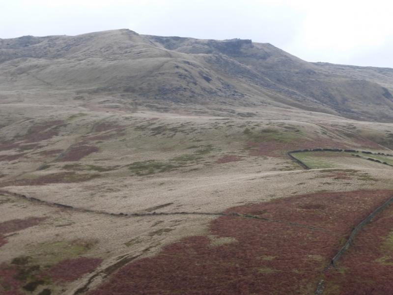
This is a lovely short walk which goes up a pleasant ridge to reach the edge of the Kinder plateau at Sandy Heys, goes north along the west edge of Kinder descends to the head of William Clough before ascending to Mill Hill and returning to Kinder Reservoir via Leygatehead Moor and Middle Moor. The path up the mainly grassy ridge to Sandy Heys is very easy to follow and only moderately steep. The route is not too boggy with the worst section being alongside Kinder Reservoir. Once on the edge of Kinder, the route is very obvious as far as Mill Hill but then follows a faint path over Leygatehead Moor through the heather to Middle Moor where a bridleway is followed down to Kinder Reservoir. The camp site at Hayfield is very pleasant and well equipped. It is owned by the Camping and Caravanning Club. The rates for members, about £7 less per night, are very much below those for non-members. It may be worth joining as it only takes about six nights to break even.
Route
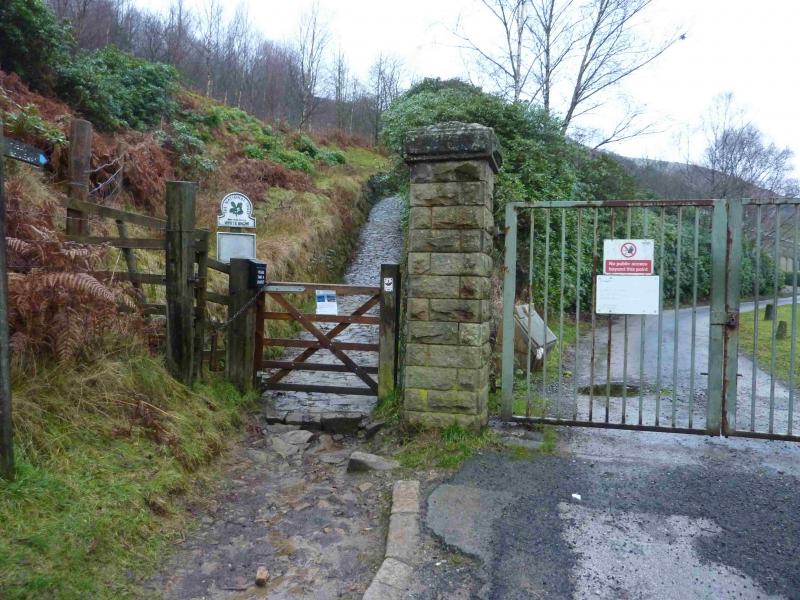
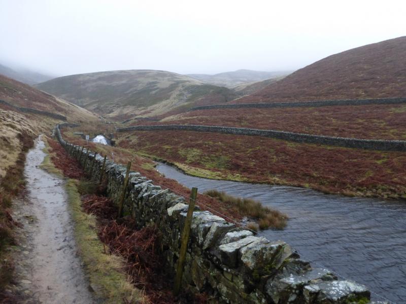
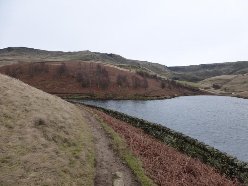
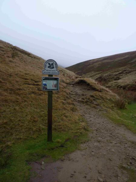
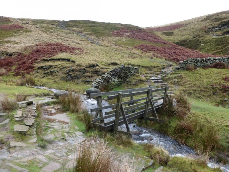
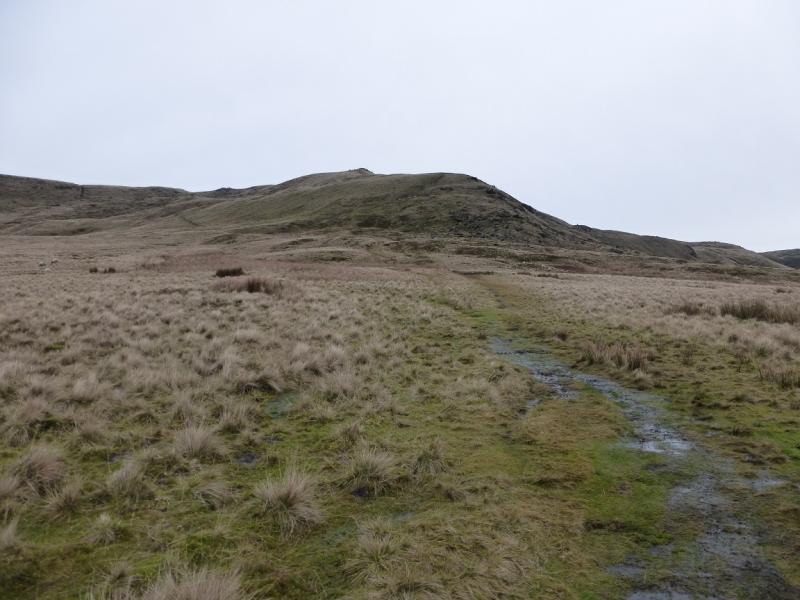
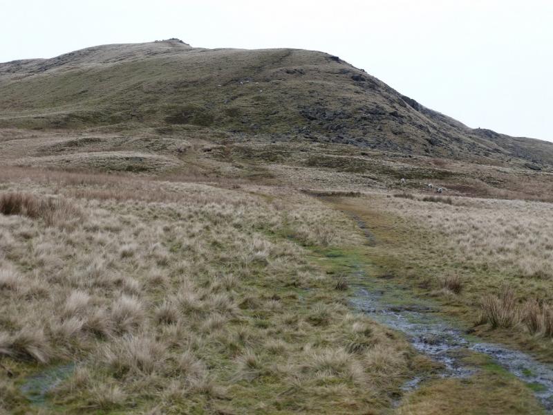
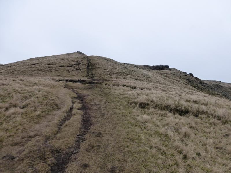
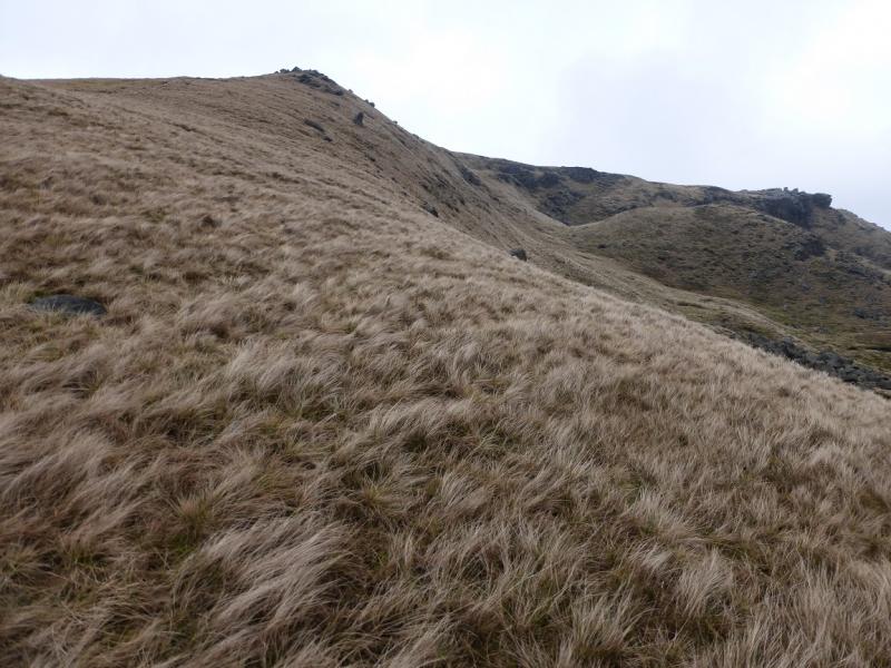
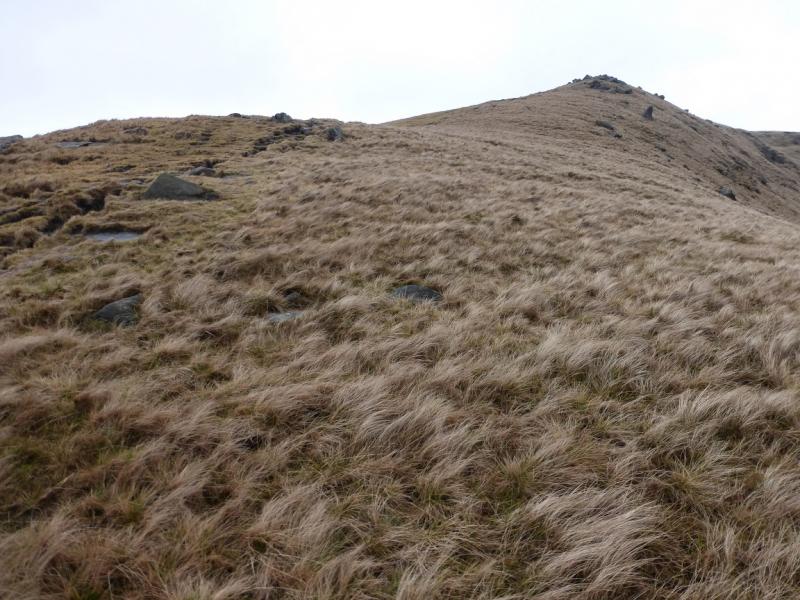
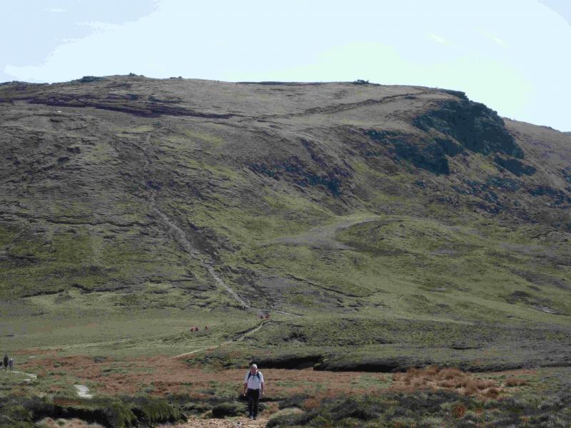
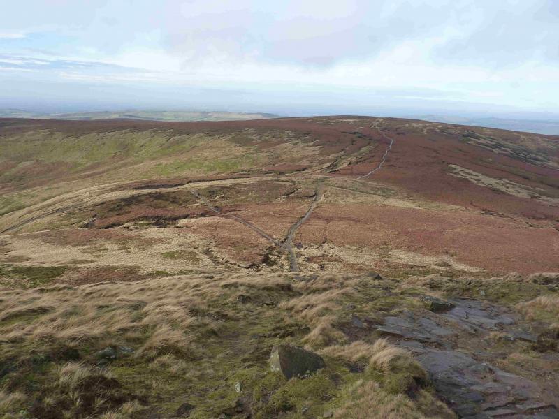
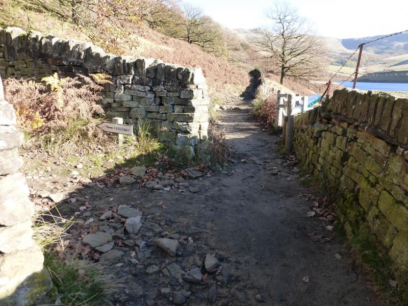
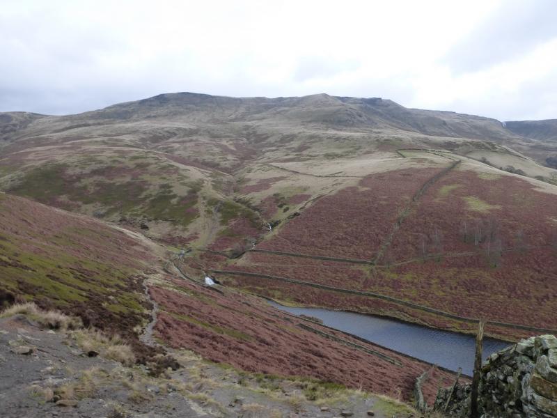
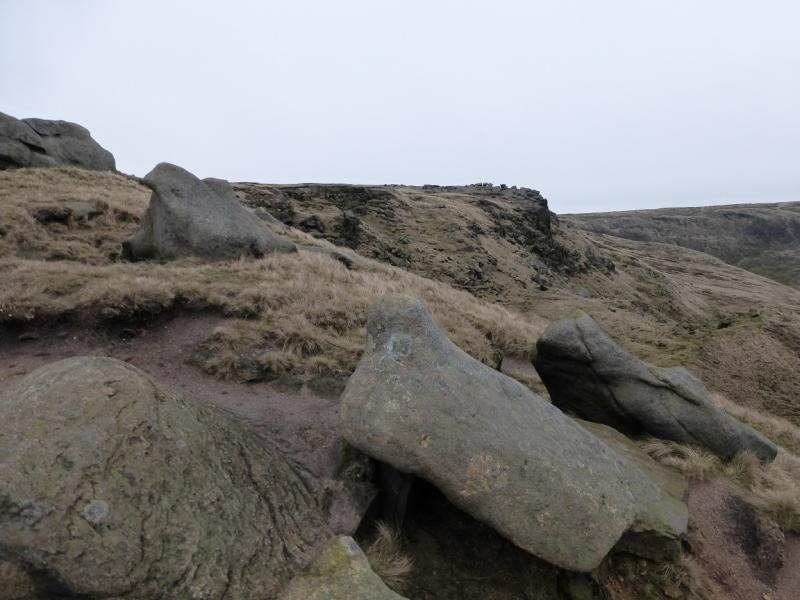
(1) From BowdenBridge car park, continue up the road (do not cross the bridge by the car park). Soon the private road going up to Kinder Reservoir is reached. This usually has locked gates across it so turn right, cross the bridge then follow the footpath on the right of the river. This leads up to a footbridge which is crossed to gain the top of the private road by another gate. A small footpath gate is on the left of the large gate with a sign saying White Brow. Take this footpath, which is quite steep and cobbled. When it levels out, follow it along the wall on the W side of the reservoir and up the side of the N spur of the reservoir to reach a footbridge. Just beyond the bridge is a sign saying William Clough. Cross the footbridge and follow the obvious path upwards. It is mainly grassy, not too boggy, very easy to follow and no more than moderately steep in places. Higher up, the path detours slightly left to avoid boulders on the ridge but it is easy to walk through the boulders and go up more directly. Higher up, there are outcrops which are also easily walked through. The ridge ends on the W edge of Kinder plateau where the edge path turns through a right angle. There is no cairn here but this is at an altitude of about 600 m.
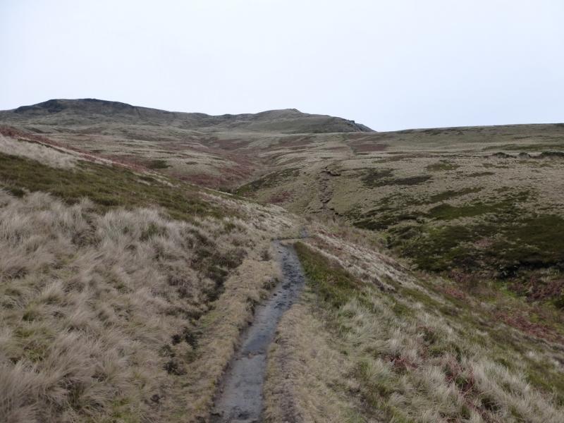
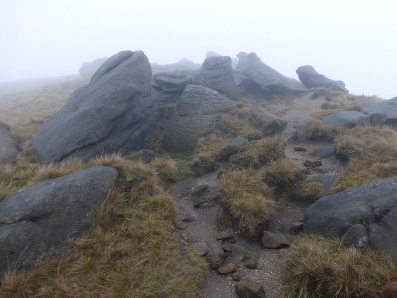
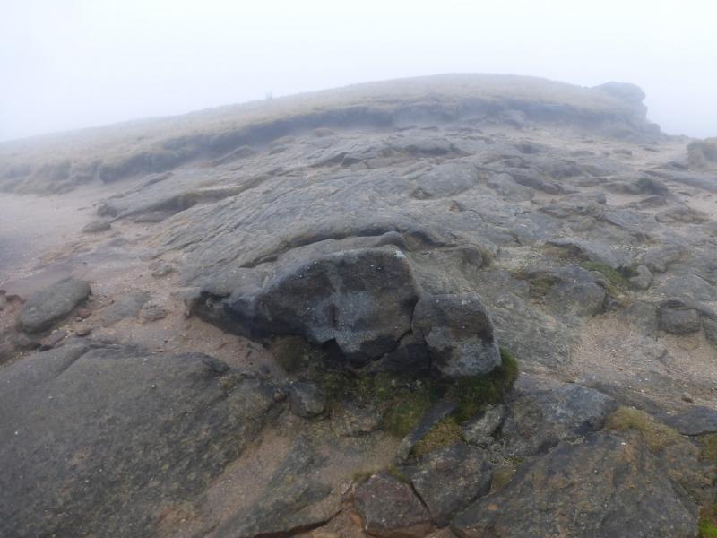
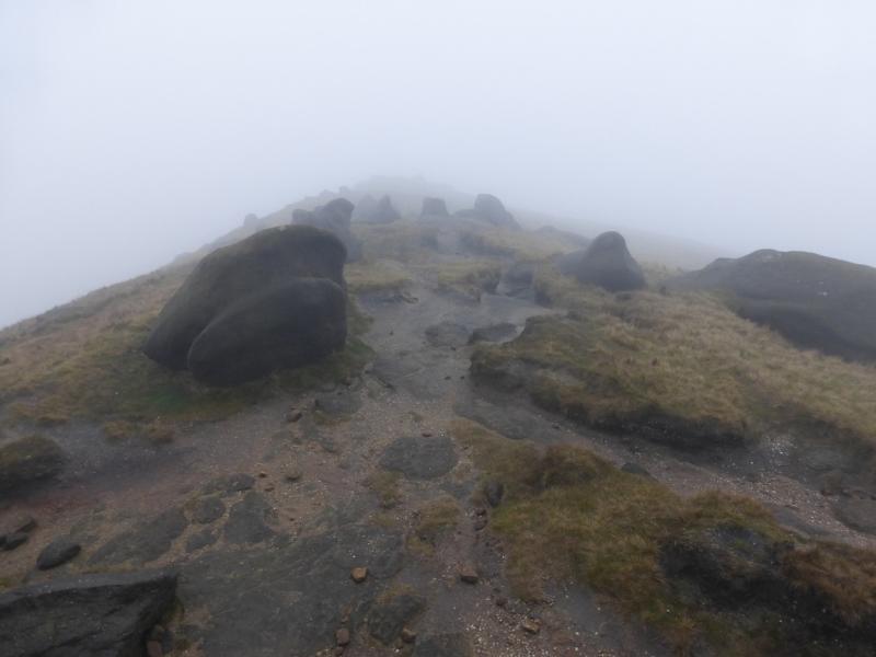
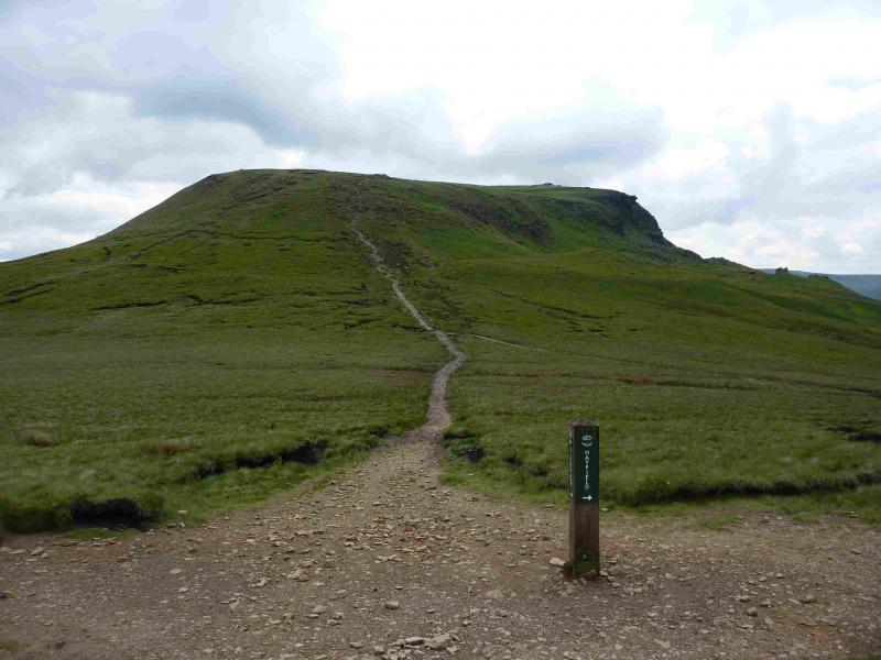
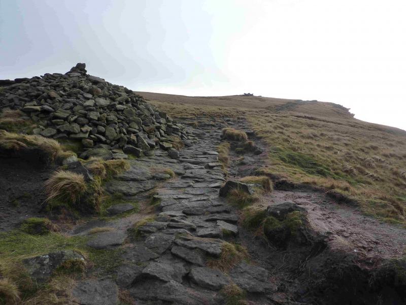
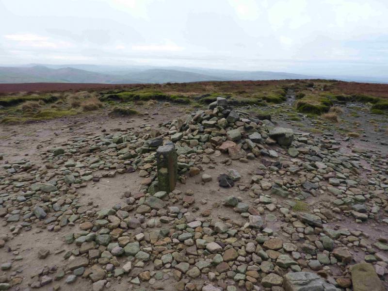
(2) Follow the very obvious edge path to the left, with the edge on your left, and follow this, roughly north, along the edge of the Kinder plateau. This path is part of the Pennine Way and, in less than 1 km, it descends down a steep stepped path to the head of William Clough. Once the path levels out, go straight ahead, ignoring the left fork (which goes down William Clough) to reach the prominent direction sign. Go ahead here, signed Bleaklow, and ascend to the summit of Mill Hill, 544 m where there is a very large cairn.
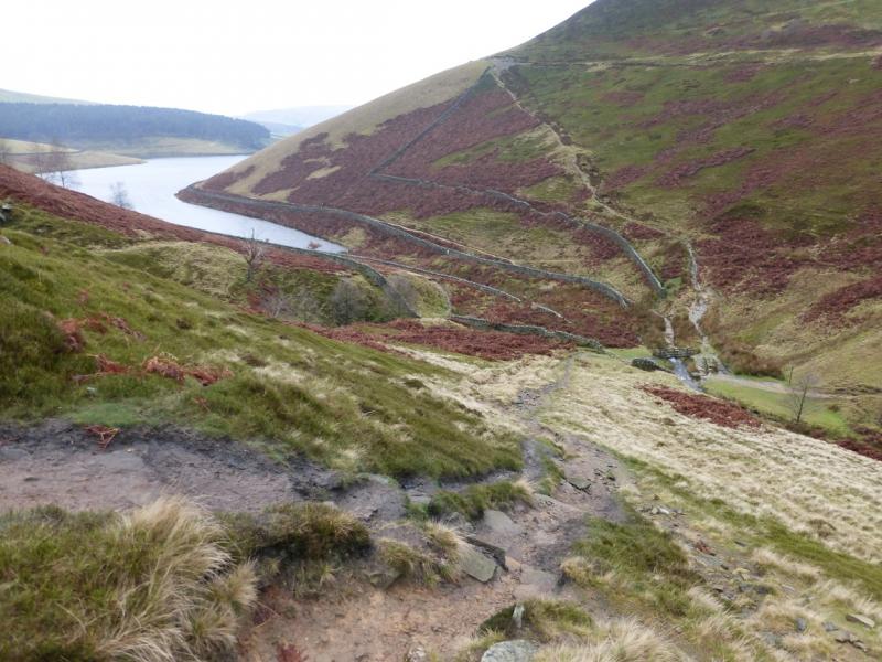
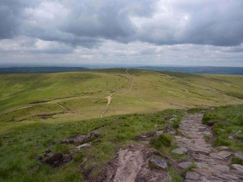
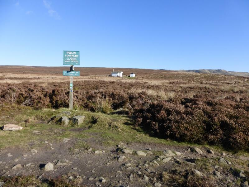
(3) The Pennine Way goes right; ahead is the path to Harry Hut and Burnt Hill but neither of these are taken. To the left are two paths. Take the more left and more minor of the two and follow it, heading roughly SW. The path becomes more defined further on and in places is virtually a track. There is little gradient and it soon passes over a minor, but wide rise. Follow the most obvious path which can be faint in places as it weaves its way through the heather lower down, passing some grouse butts. Lower down it drifts left and passes the shooting cabin before joining a bridleway running NW – SE. There is a sign near this junction. Go SE and follow the bridleway down to Kinder Reservoir then retrace back to the start.
Notes
(a) This walk took place on 13th January, 2015.
Photos - Hover over photo for caption. Click on to enlarge. Click on again to reduce.