Get Lost Mountaineering
You are here: England » Peak District » Kinder, Winhill, Castleton, Mam Tor, Rushup Edge, Brown Knoll & South Head from Ladybower/Bamford to Chapel-en-le-Frith Road
Win Hill Direct from Yorkshire Bridge
Win Hill Direct from Yorkshire Bridge
Start/Finish
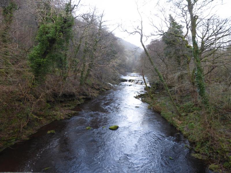
On the A6013 road which connects the A57 from Ladybower Reservoir to Bamford beyond which it joins the A625 Hathersage to Castleton road. Park just south of the Yorkshire Bridge Inn. There is a telephone box just south of the inn. Parking is limited and there are no car parks nearby. Just to the south of the phone box is a minor road going west down to the River Derwent. Some parking is possible on this minor road but not on its side streets.
Distance/Time
5 km About 2 - 3 hours
Peaks
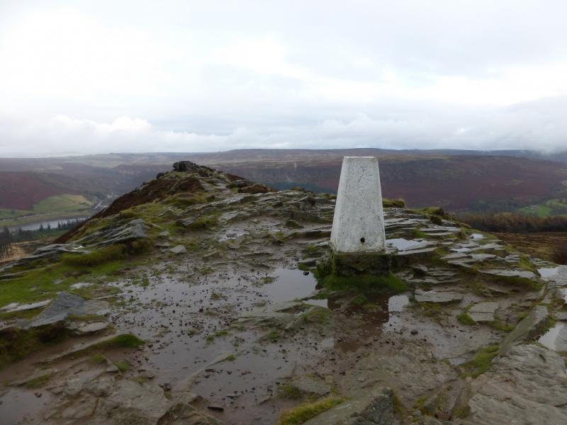
Winhill Pike, 462 m, SK 187 851.
OS Outdoor Leisure 1: Dark Peak OS 1:50 000 Sheet 110
Introduction
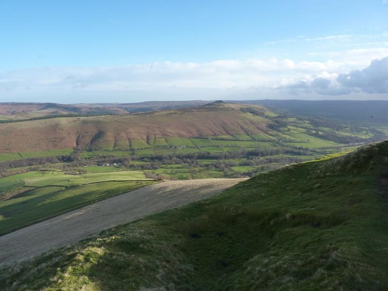
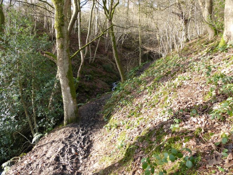
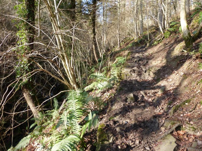
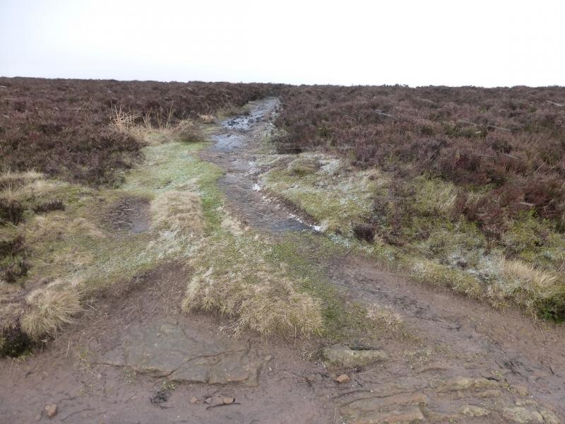
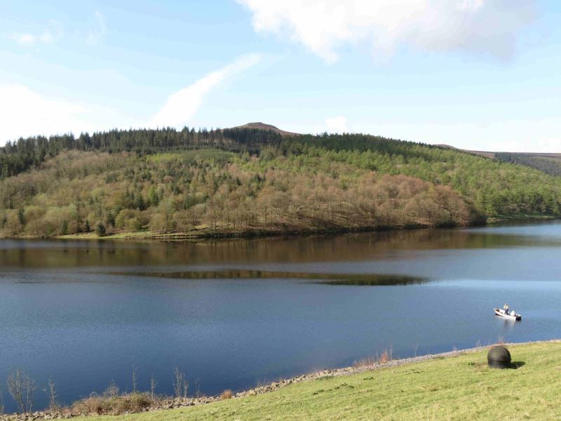
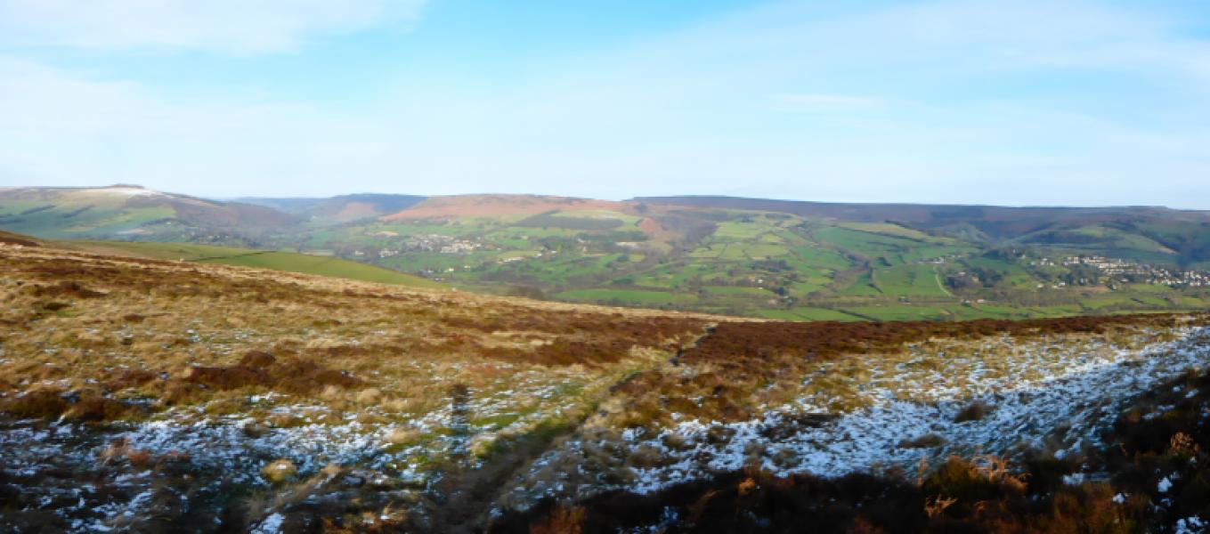
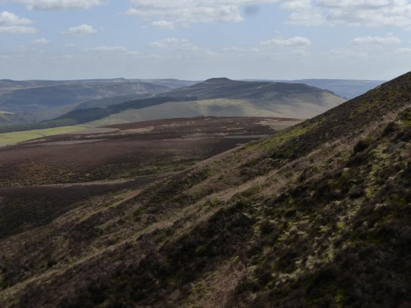
This is a very pleasant walk very good views in all directions. The ascent route goes up Parkin Clough which is quite steep and can be greasy and slippery after rain. The gradient eases higher up. The descent path has only a few very short boggy sections which are easily avoidable.
Route
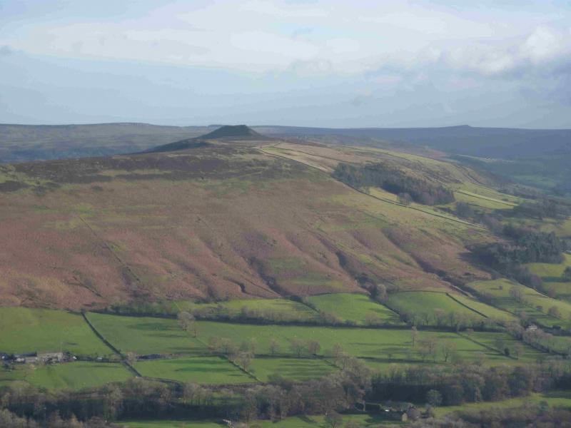
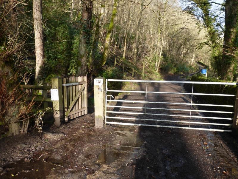
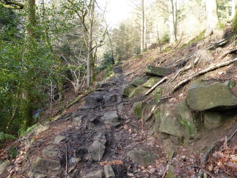
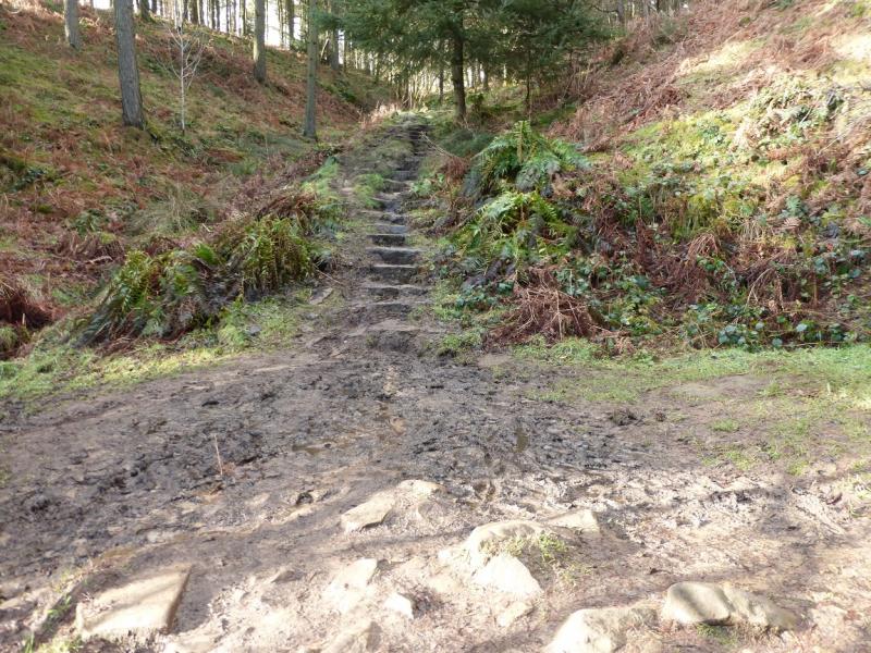
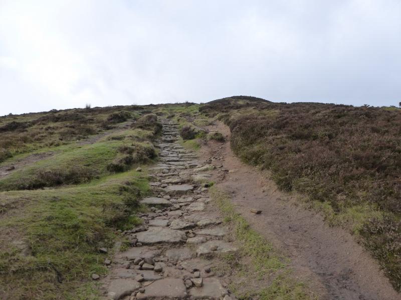
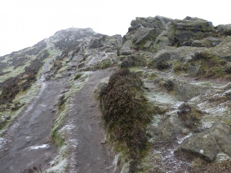
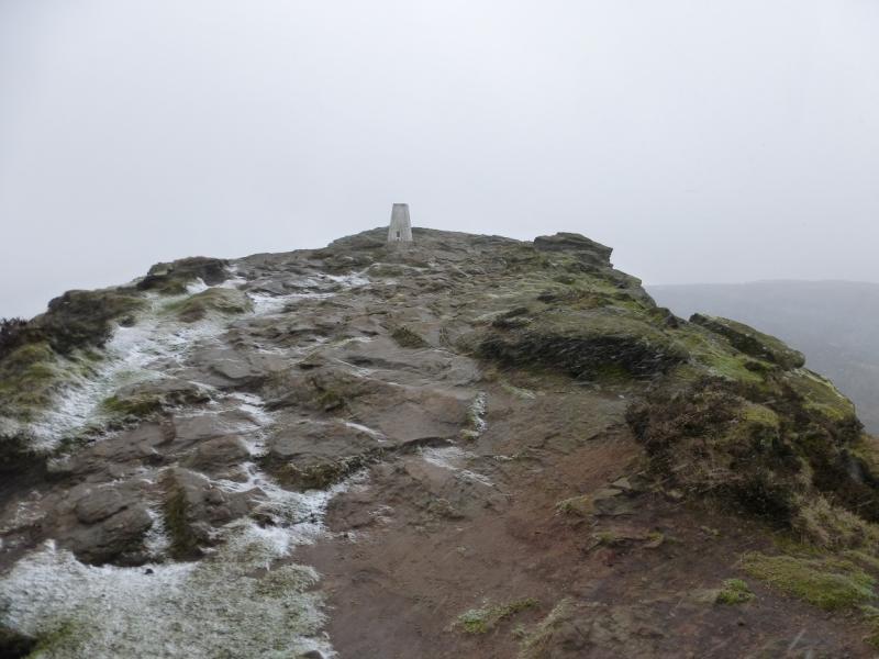
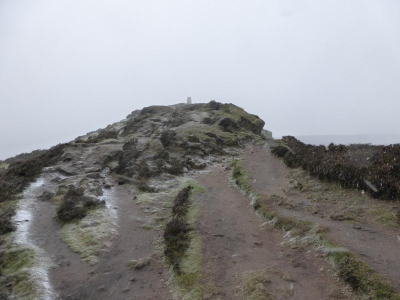
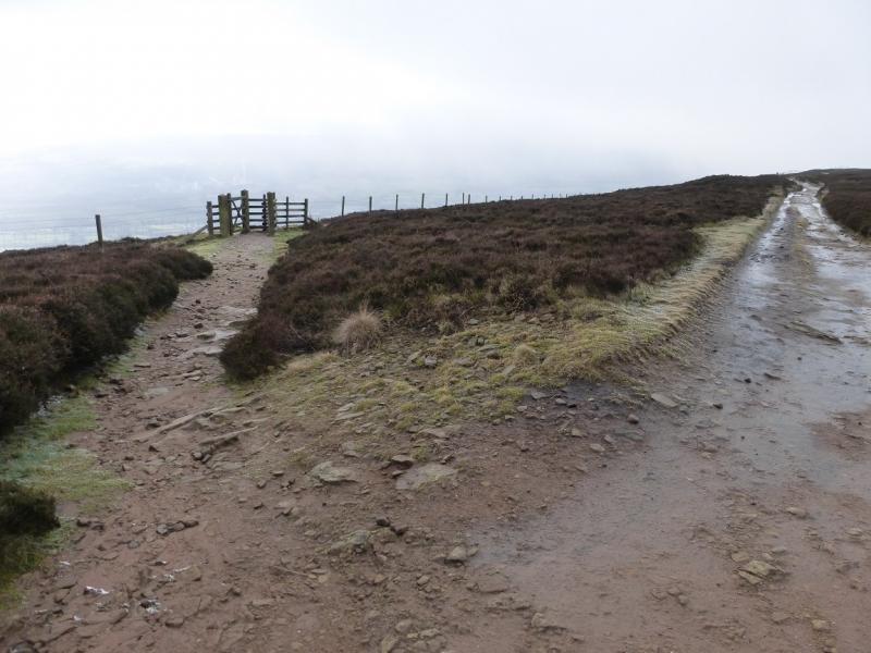
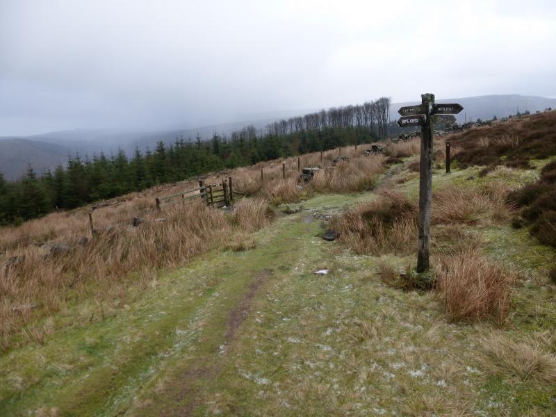
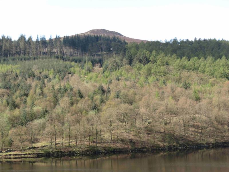
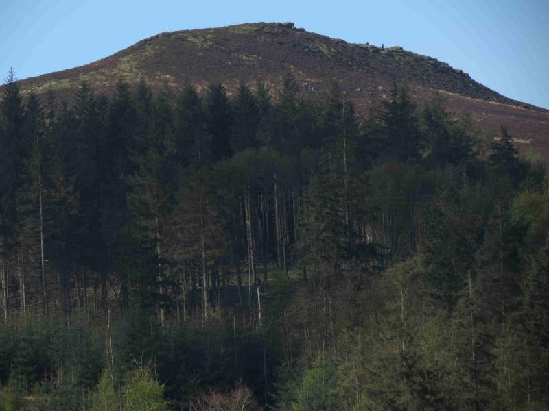
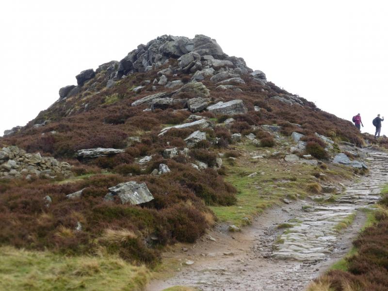
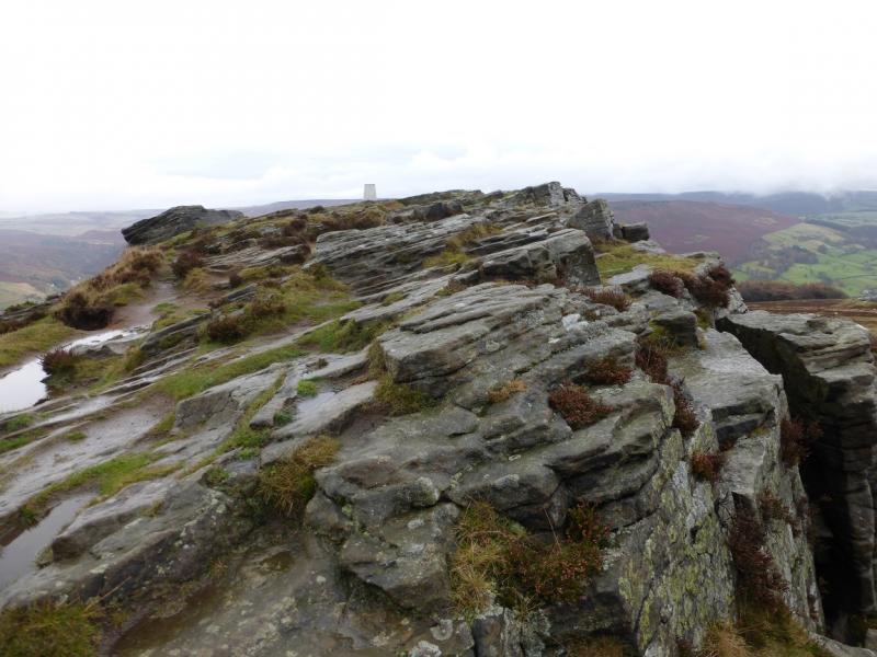
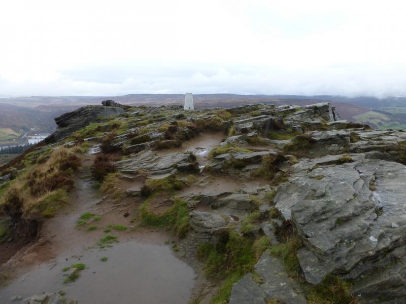
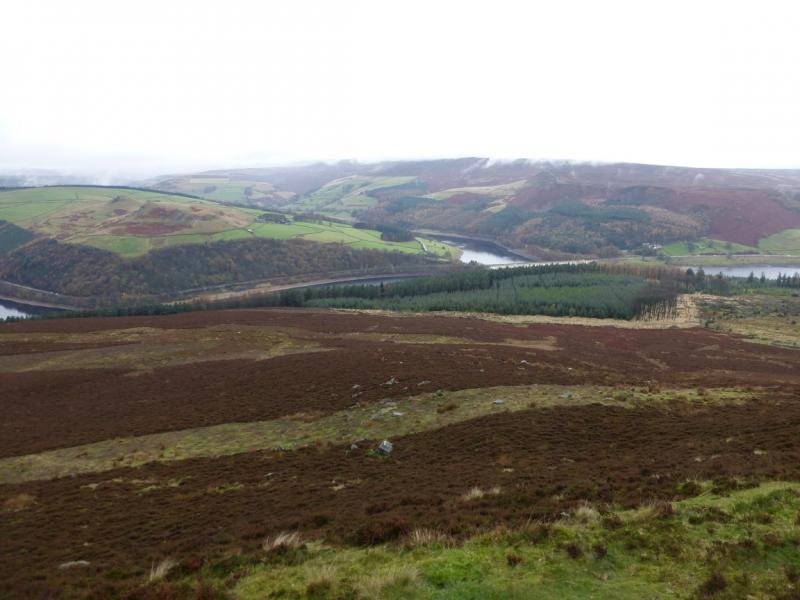
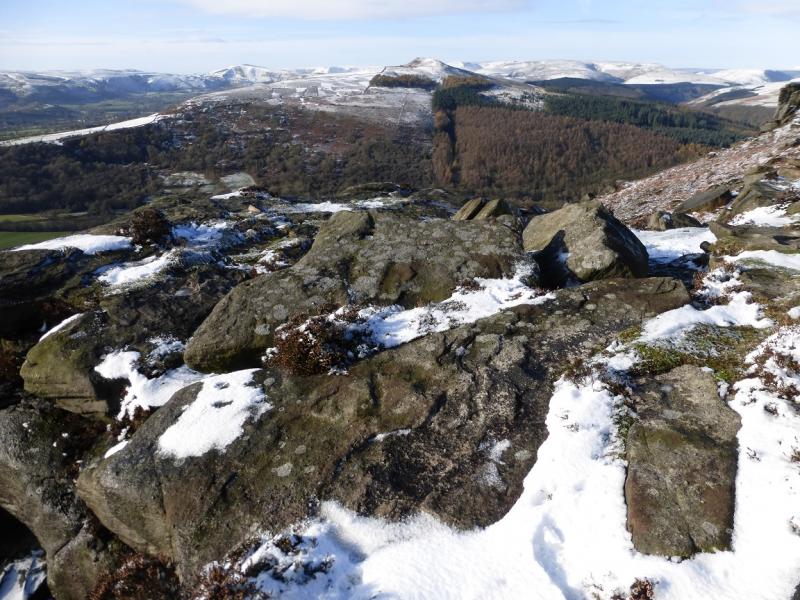
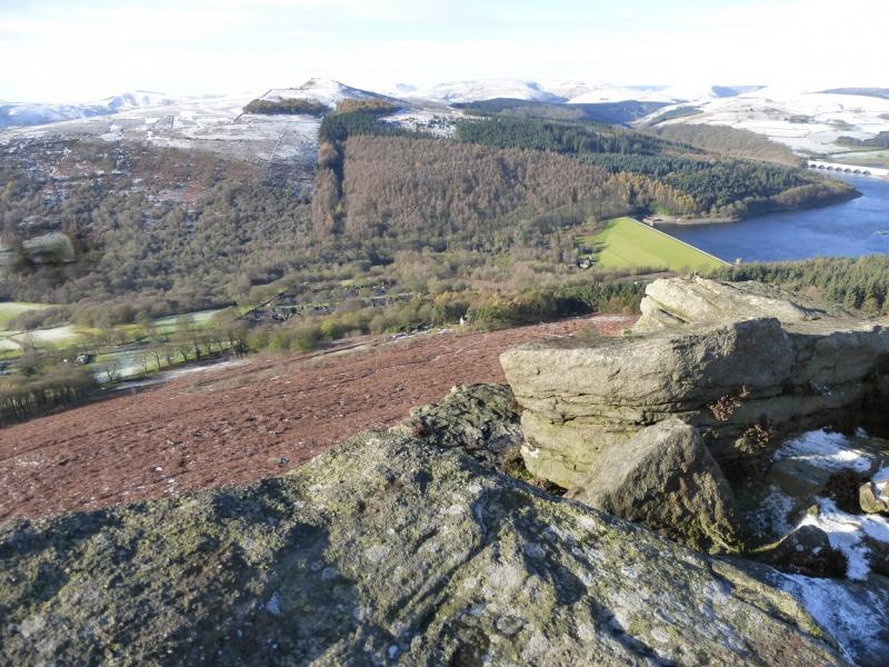
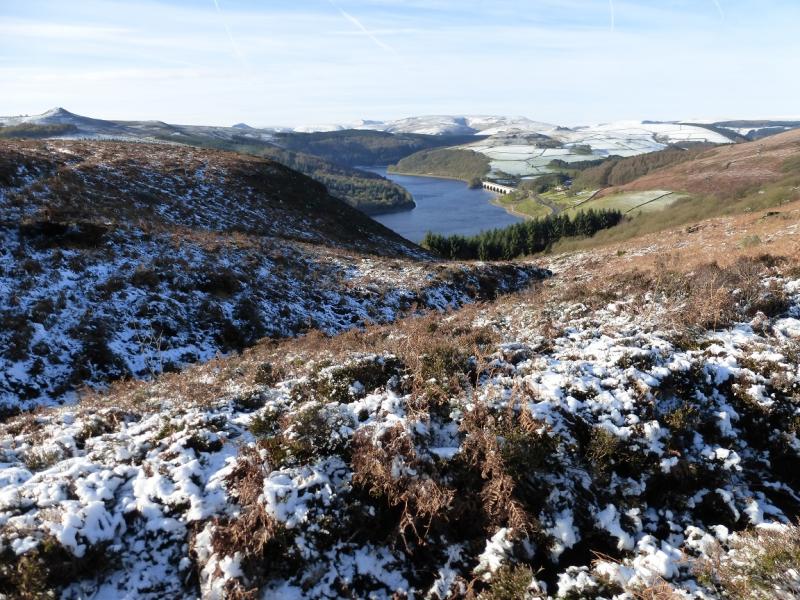
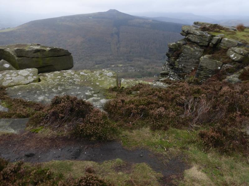
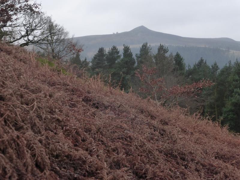
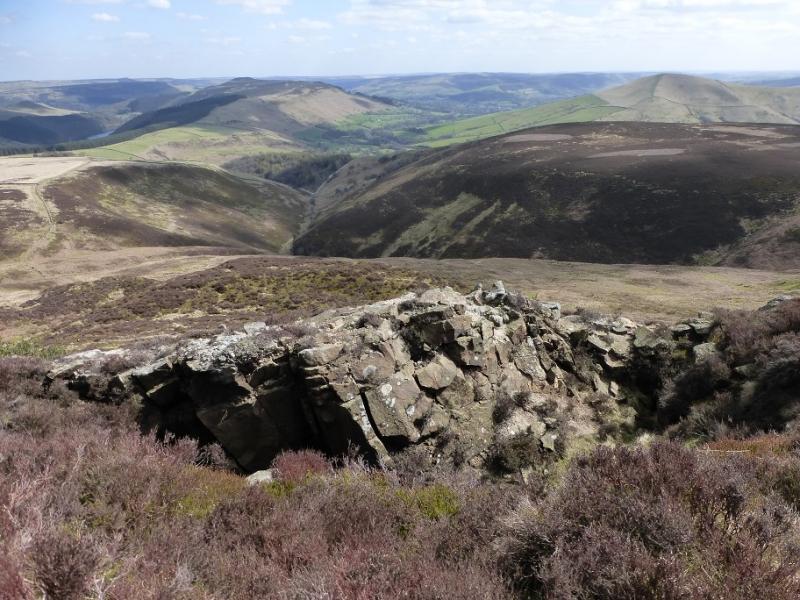
(1) From the main road, take the side road which descends W to Yorkshire Bridge. Continue across the bridge and turn right to soon reach the signed path, on the left, for WinHill. Go up the steps and soon cross a bridleway. Continue ahead on a narrow path up the wooded Parkin Clough with the stream on your left. This path finishes at a gate. Just beyond, a sign points the way, ahead. Continue up. The path becomes stepped higher up and the E end of the rocky summit crest is soon reached. Go W along the crest for a short distance to reach the trig point which marks the summit of Winhill Pike, 462 m.
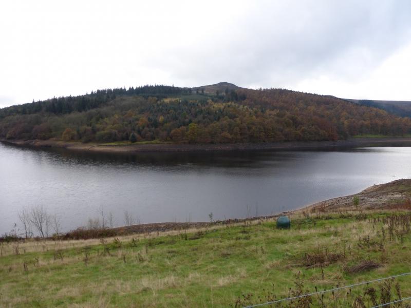
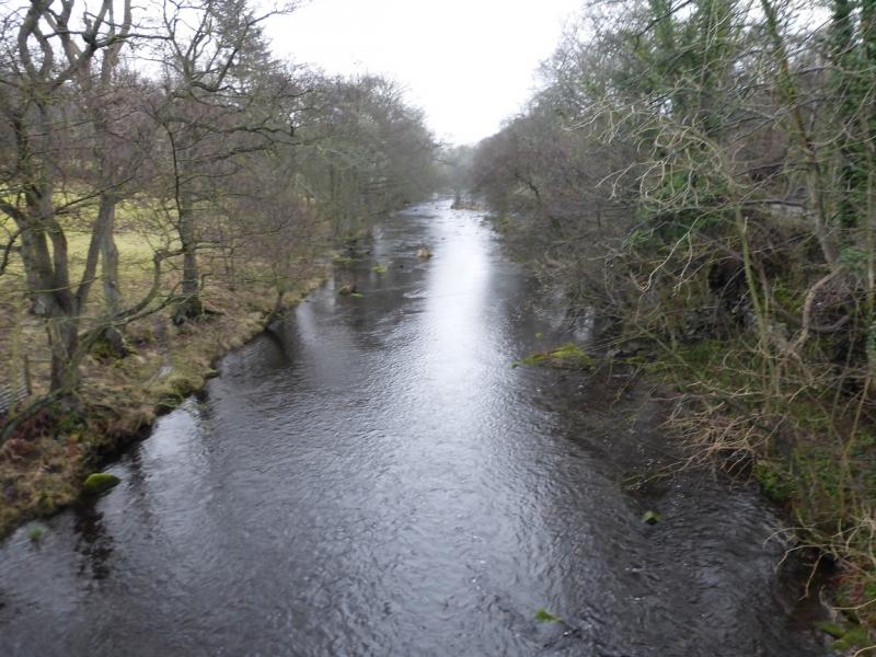
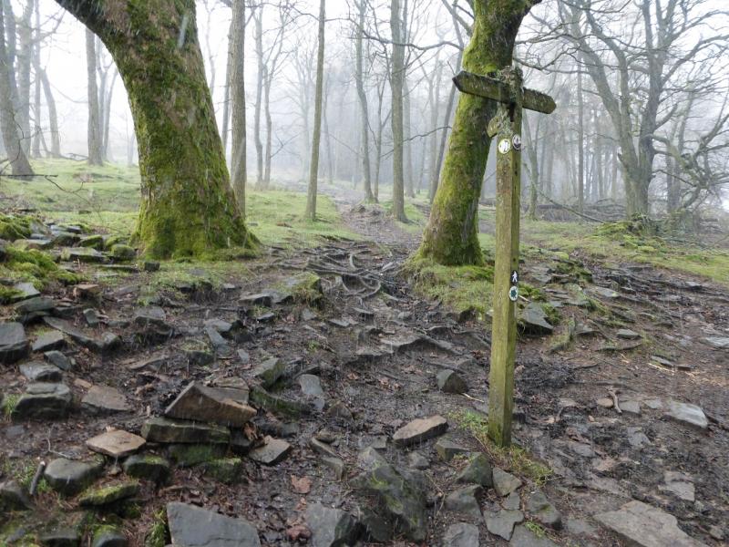
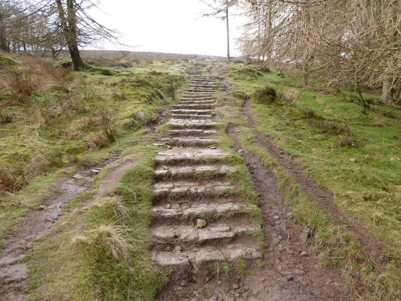
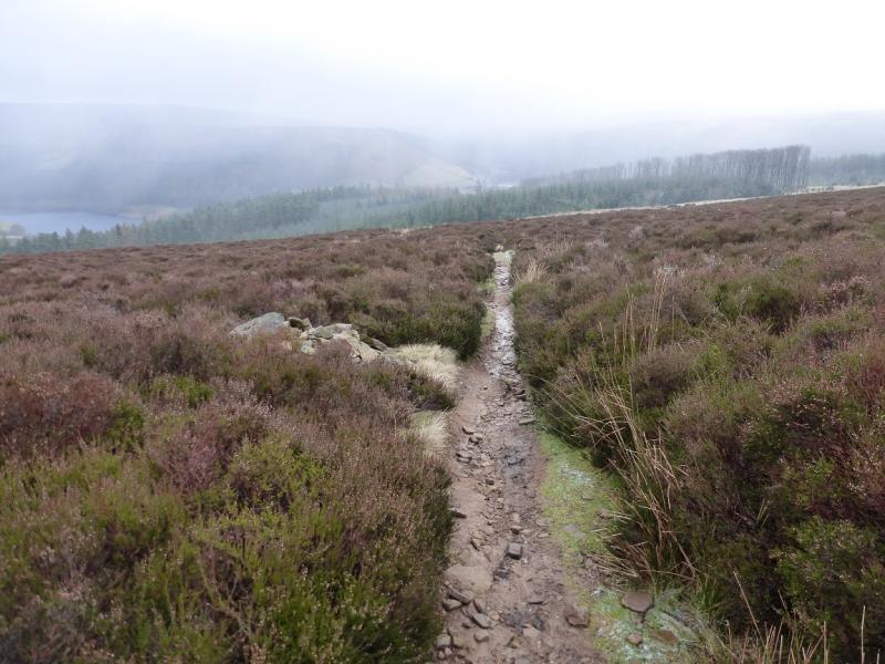
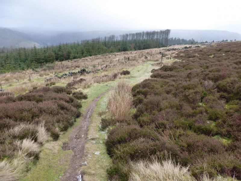
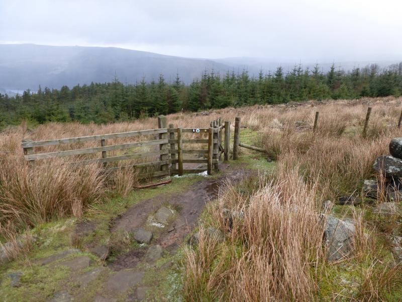
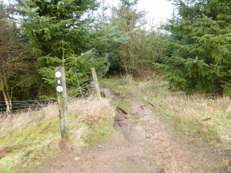
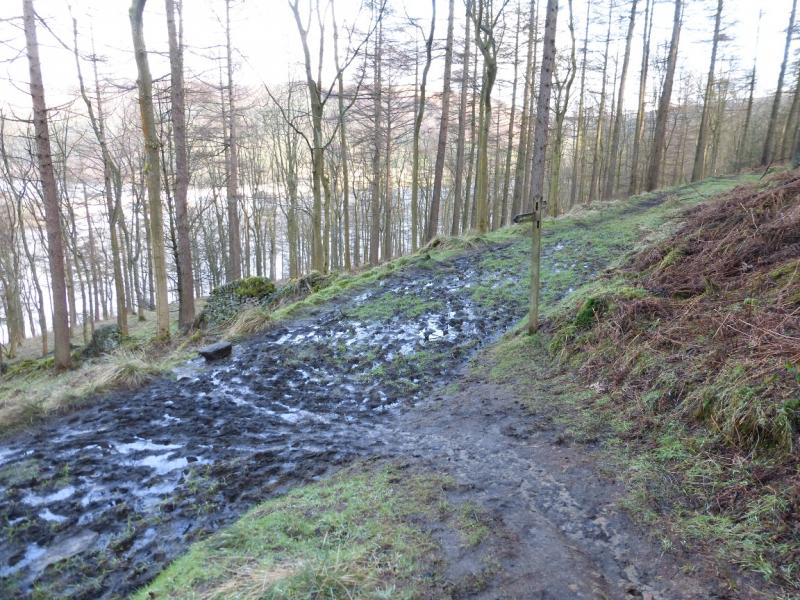
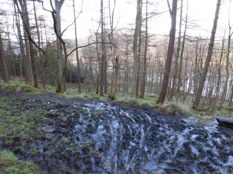
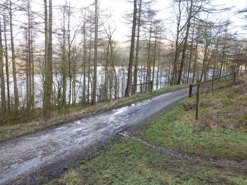
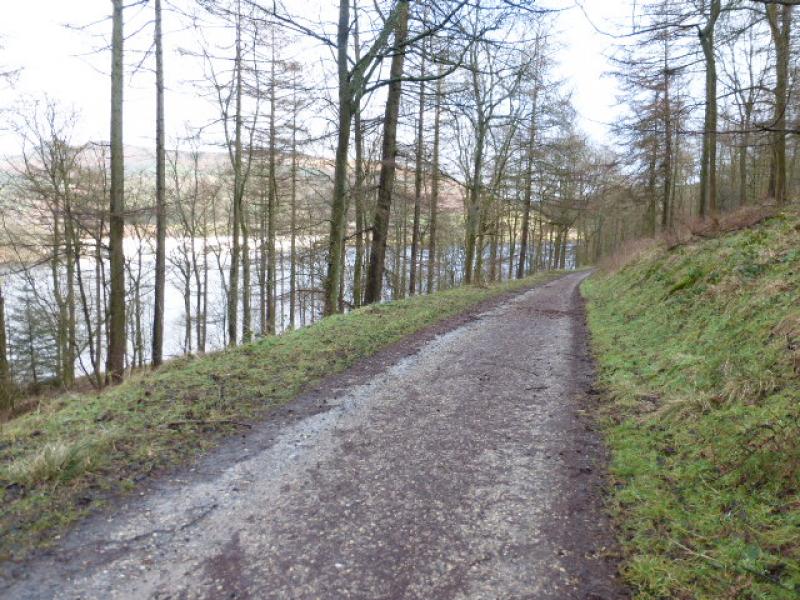
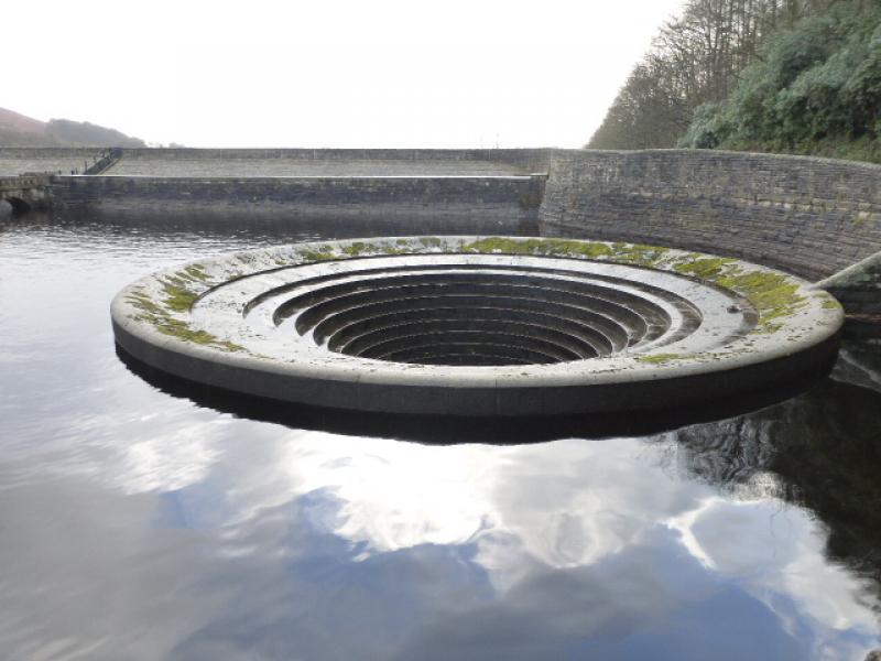
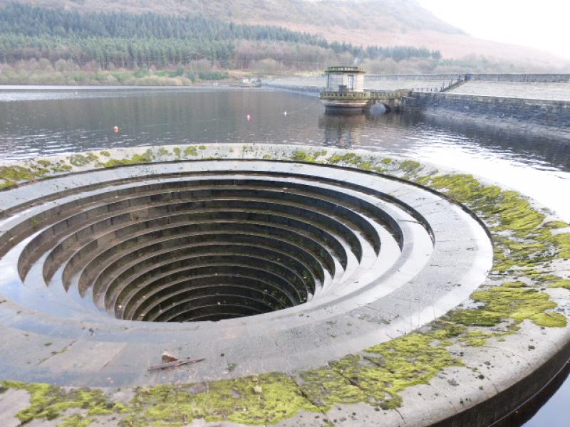
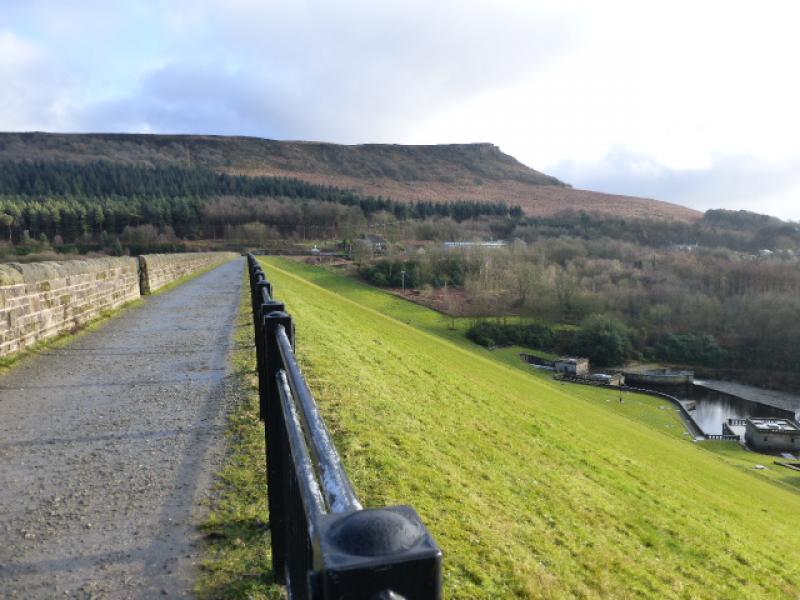
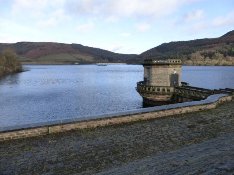
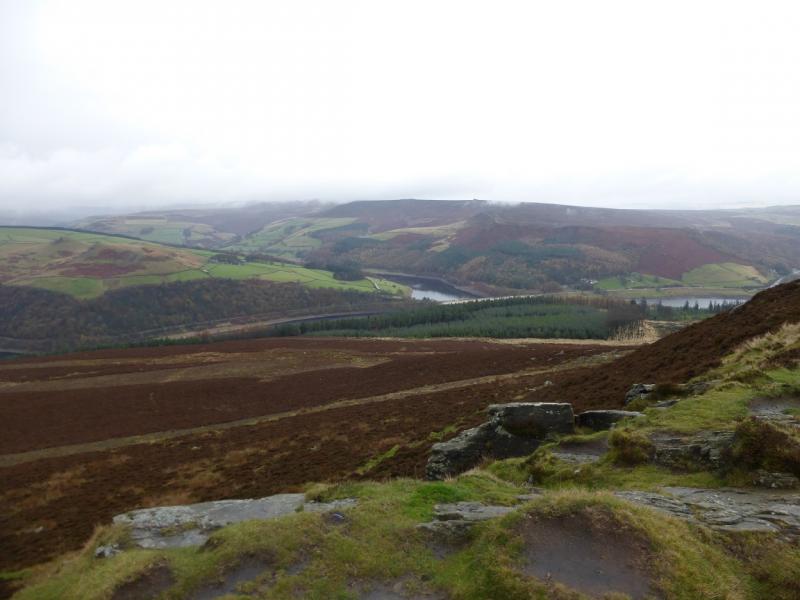
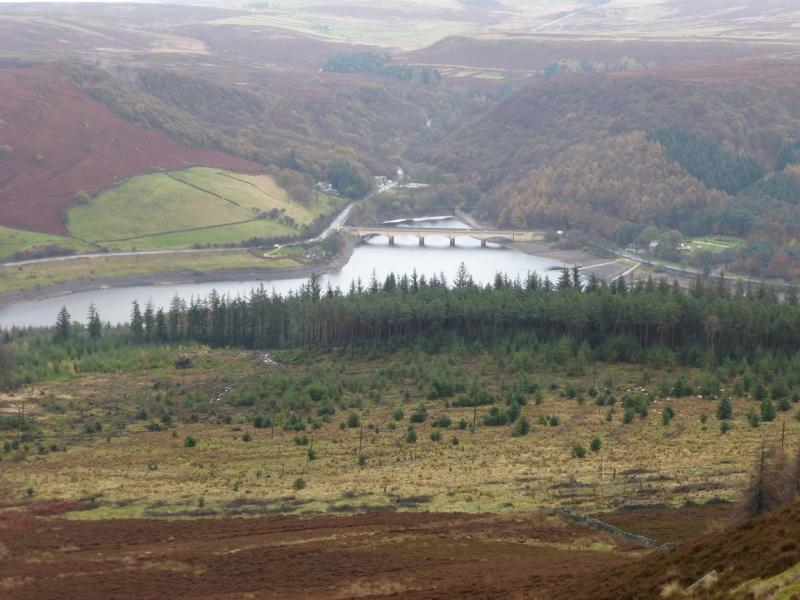
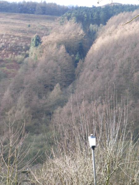
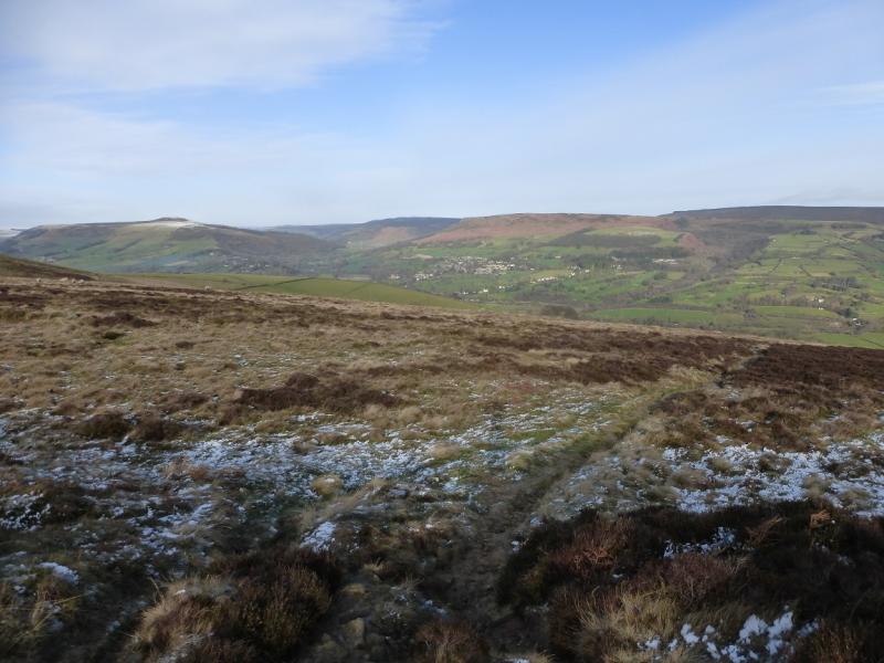
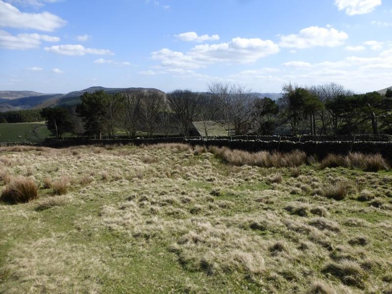
(2) Pick a way down the rocks on the S side to reach a good path going W along the broad ridge. Follow this until a small gate is seen on the left. Opposite on the right is a path going N through the heather. Take this path and follow it down to the edge of the forestry plantation. Continue on the path which goes through the forestry and soon reaches more natural woodland. Continue down, ignoring all turnings, until a sign post is reached on a very boggy section of track. The path is across this track and goes down to a good track by the side of Ladybower Reservoir. Turn right, E, and follow the track around the edge of the reservoir, past the dam and to Yorkshire Bridge from where the outward route can be retraced.
Notes
(a) This walk took place on 16th January, 2015.
(b) An alternative finish is to cross the Ladybower Dam then walk the short distance along the road past the Yorkshire Bridge Inn to the start.
Photos - Hover over photo for caption. Click on to enlarge. Click on again to reduce.