Get Lost Mountaineering
You are here: Scotland » 02 River Tay to Rannoch Moor » Ben Lawers Range including Tarmachan Ridge and Meall nam Maigheach
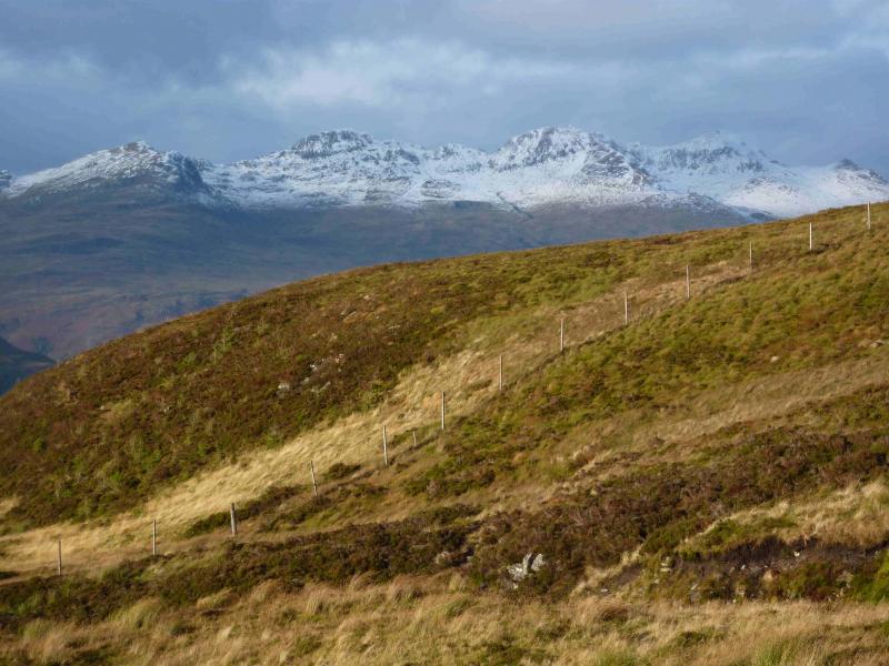
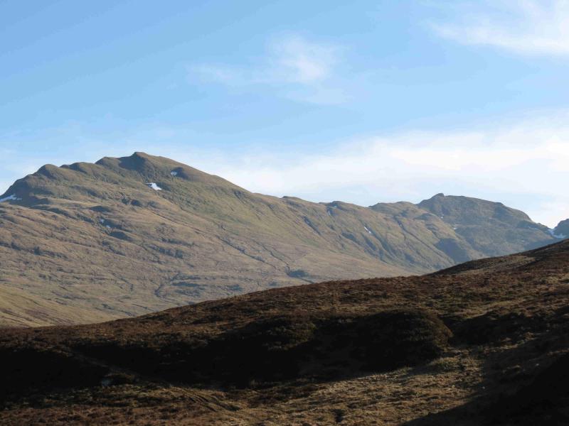
The Meall nan Tarmachan Ridge (including Creag na Caillich) from Bridge of Balgie road
The Meall nan Tarmachan Ridge (including Creag na Caillich) from Bridge of Balgie road
(Updated July 2024)
Start/Finish
National Trust car park on the Loch Tay to Bridge of Balgie road and about 1 mile S of the dam at the S end of Lochan na Lairige. In 2024, the parking charge was £4 per day. This start replaces the old starting point which was from the start of a track further up the road.
Distance/Time
14 km About 6 - 7 hours
Peaks
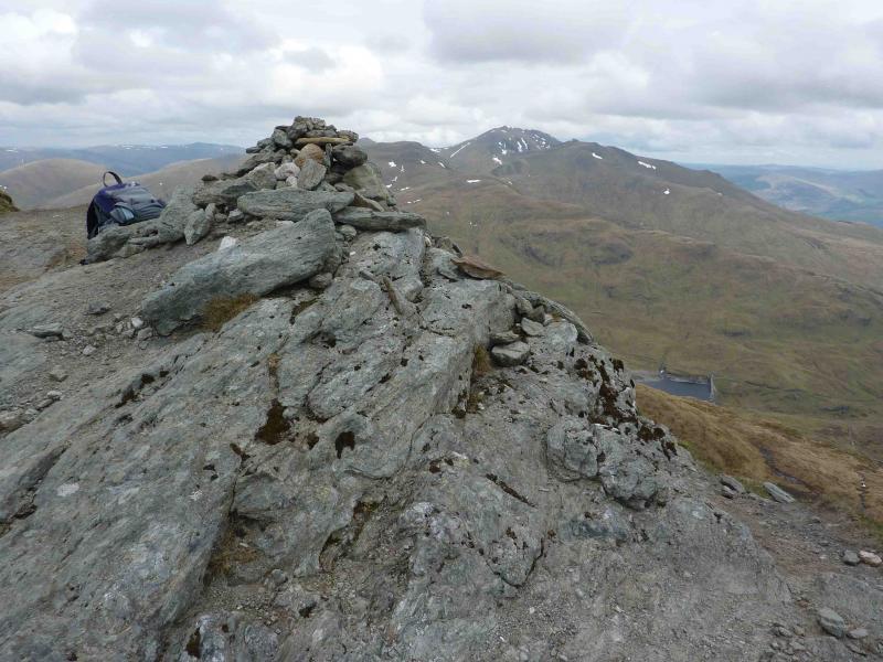
Meall nan Tarmachan SE Top, 923 m, NN 589 385.
Meall nan Tarmachan, 1043 m, NN 585 390.
Meall Garbh, 1026 m, NN 578 383.
Beinn nan Eachan, 1000 m, NN 570 383.
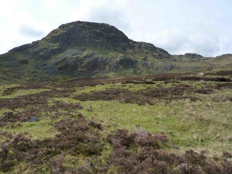
Creag na Caillich, 914 m, NN 562 377. Recently demoted. OS Sheet 51.
Introduction
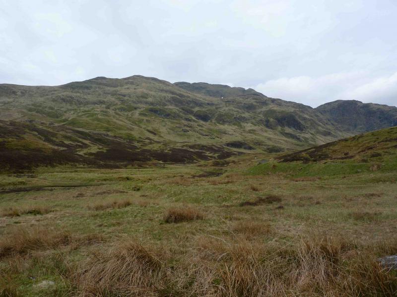
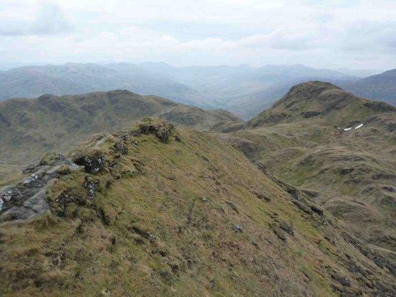
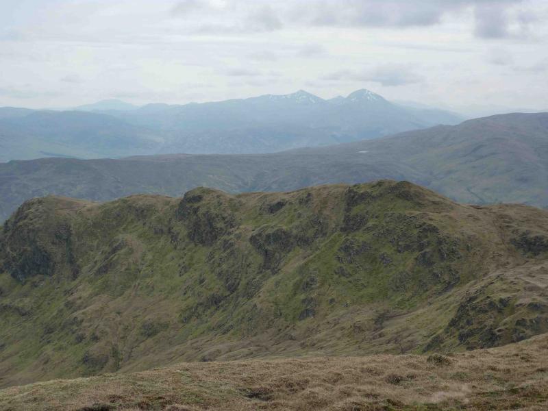
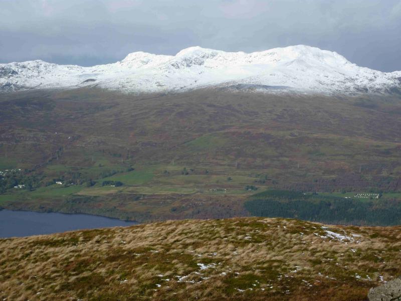
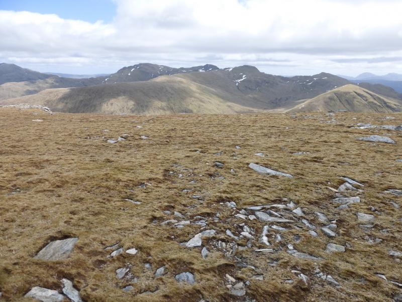
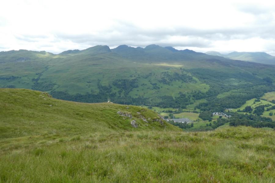
This is a fairly easy walk to navigate as there is a good path/track all the way. There are fine views to the Ben Lawers range, the Crianlarich Hills, the Glen Lyon hills, Ben Vorlich and Stuc a’Chroin and the Glen Lochay hills. Despite its ease of navigation, this walk is still best done on a clear day to enjoy the views. Note that in 2015 survey, Creag na Caillich was found to be slightly lower than Munro height so is no longer a Munro Top.
Route
(1) Cross the bridge on the track and continue through a gate. A few hundred metres further on, when track descends slightly, there is an obvious stony path going off on the right. Follow this path up on to the SE ridge where the path continues up this ridge on to a shoulder then to the small summit cairn on the SE Top of Meall nan Tarmachan, 923 m.
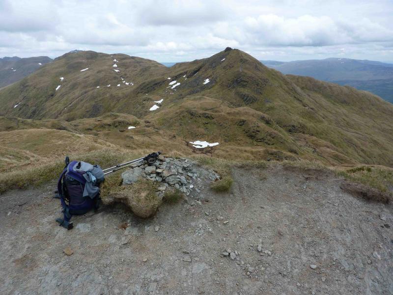
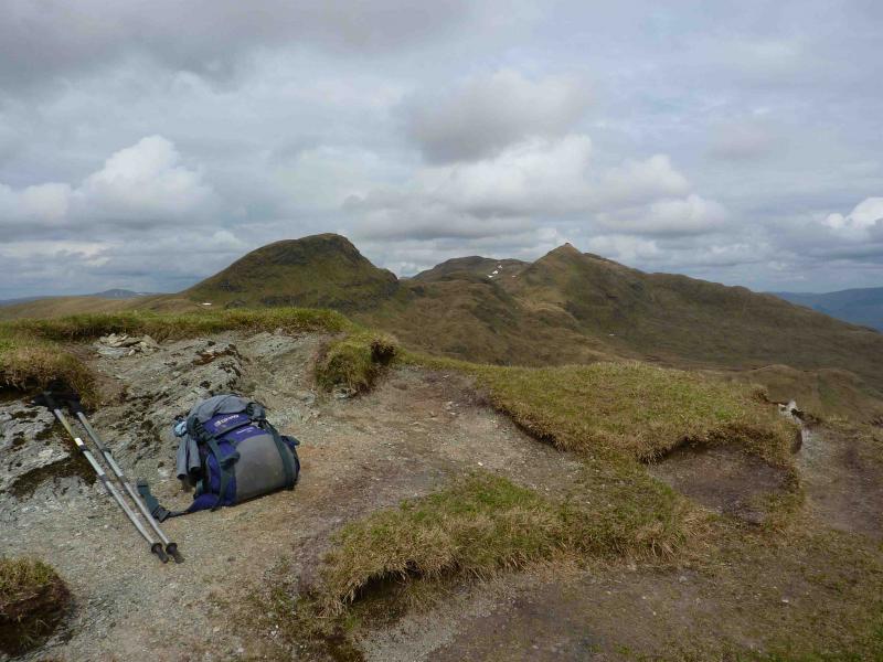
(2) The path then descends to a bealach before climbing towards the main top. There is a steep stepped section before the path goes right across the grass below the rocky face before reaching a grassy shoulder then cutting back left to reach the large summit cairn of Meall nan Tarmachan, 1043 m.
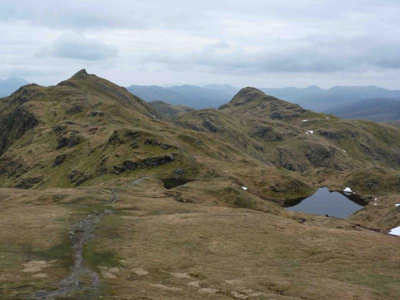
(3) The path continues down SW ridge to a bealach near two lochans before climbing up to the rocky cairned summit of Meall Garbh, 1026 m, arguably the finest summit in the range.
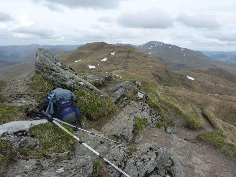
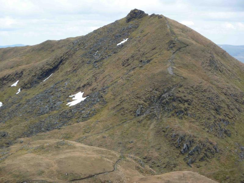
(4) Descend gently W along a narrow ridge before reaching the top of a “bad step”. This can be descended by a narrow gully on the right or by broken slabs on the left. The “bad step” can be avoided all together by going further right on the grass dome above it then descending on the grass between the “bad step” and the boulder field further right. A path soon appears which leads to the bottom of the “bad step”. The path then continues more gently down to a bealach then climbs, with many twists and turns, to the small summit cairn of Beinn nan Eachan, 1000 m.
(5) The path descends SW to the next bealach where a cairn marks the start of a path leading off the mountain. The path then starts ascending the final peak passing another exit path marked by a cairn before reaching the tiny summit cairn of Creag na Caillich, now 914 m.
(6) Either retrace to the two descent paths mentioned above or continue along the summit ridge on the obvious path. This path soon goes out on to the E face and is quite exposed for about 40 metres before reaching safer ground and gradually trending W, down easy grassy slopes, to avoid the steep S face. The path skirts a wide grassy bealach and descends E, becoming faint in places, to meet a stream at an intake weir from where an obvious track leads back to the start.
Notes
(a) This walk took place on 11th August, 1994, 14th August, 2006 and 21st May, 2010.
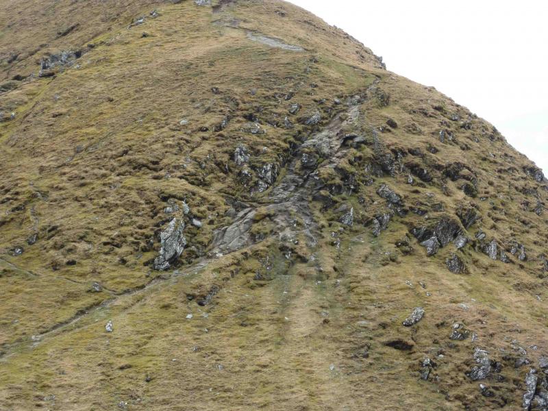
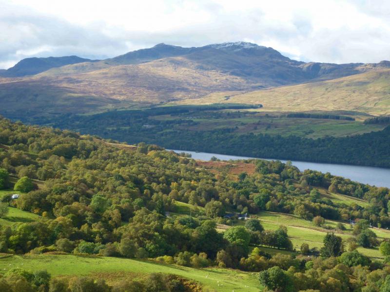
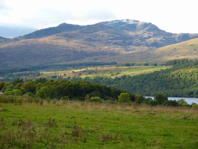
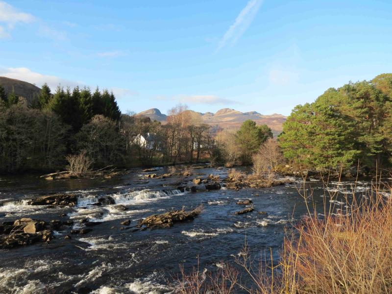
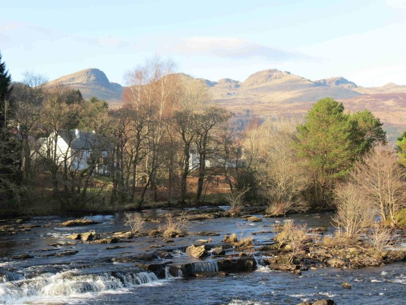
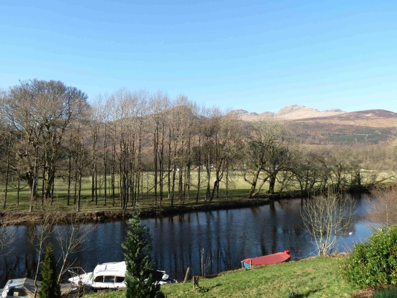
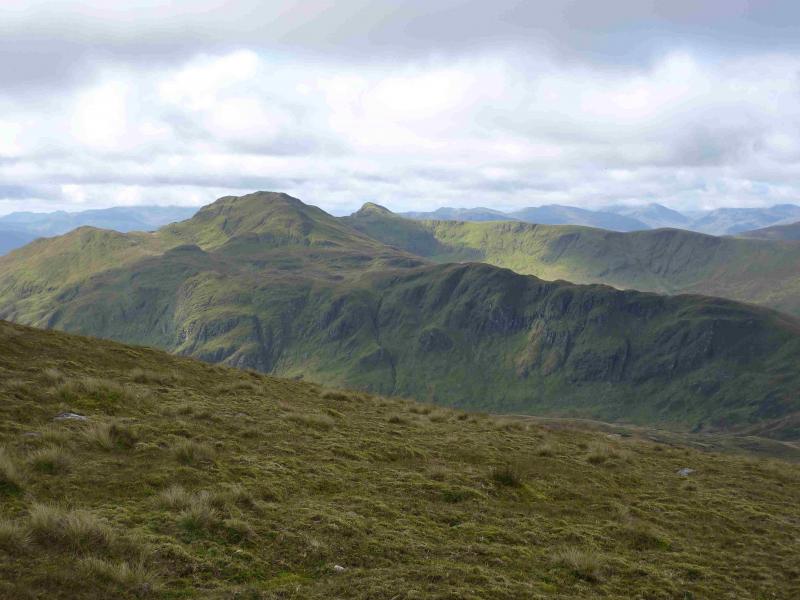
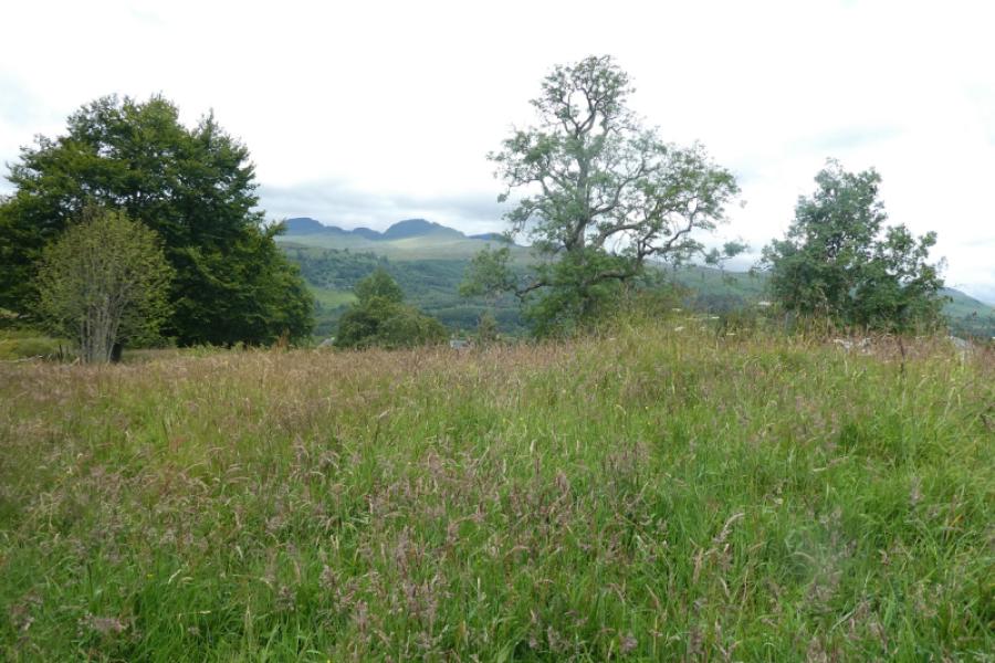
Photos - Hover over photo for caption. Click on to enlarge. Click on again to reduce.