Get Lost Mountaineering
You are here: Scotland » 00 Galloway and the Borders » Carsphairn Hills & Cairn Table
Cairn Table
Cairn Table from Kames near Muirkirk
Start/Finish
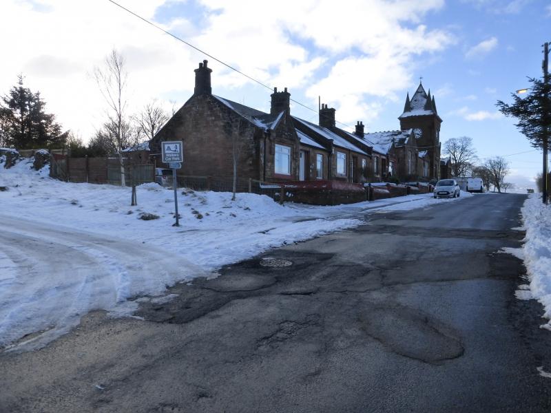
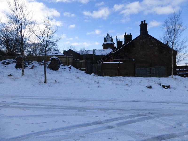
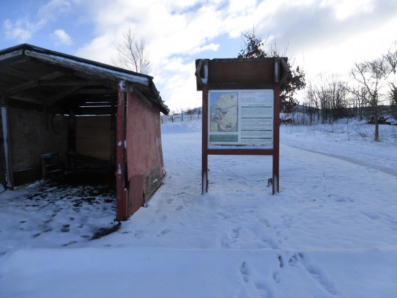
Walkers' car park at Kames which holds about 10 cars. Muirkirk is on the A70 road between Cumnock and Douglas. Take the minor road going south by the Coach House Inn (opposite a school) in Muirkirk. Follow the minor road for just over half a mile to the car park.
Distance/Time
8 km About 3 – 4 hours
Peaks
Cairn Table, 593 m, NS 724 243. OS Explorer sheet 328.
Introduction
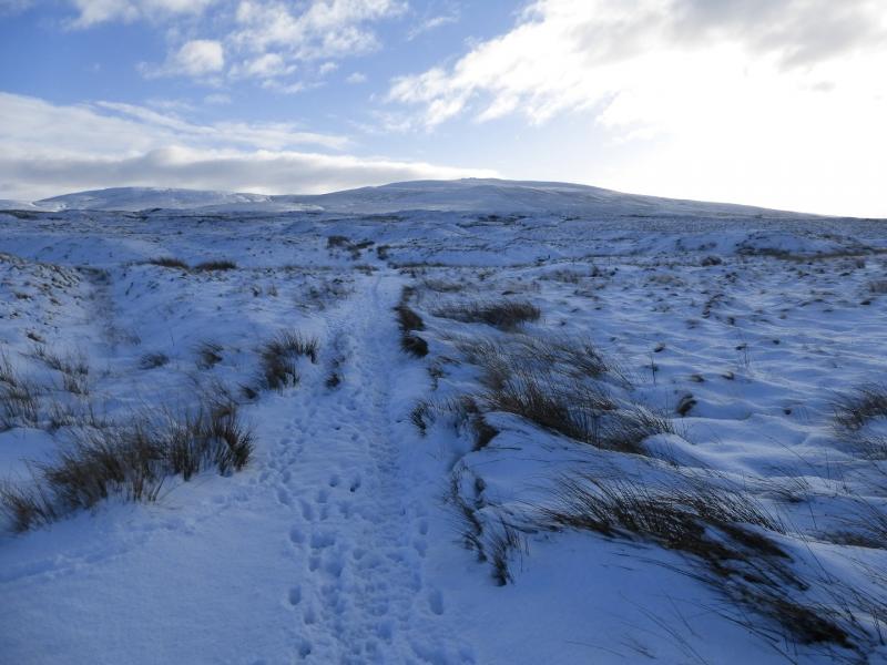
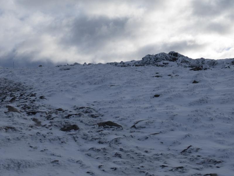
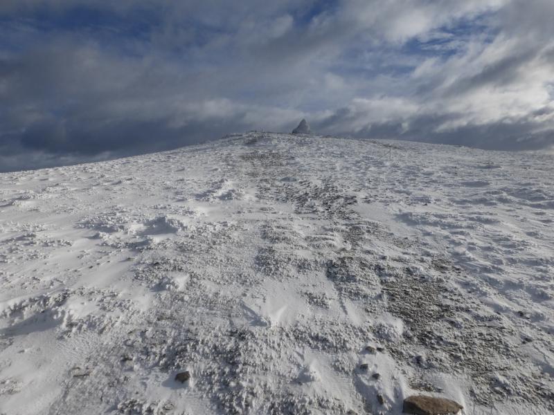
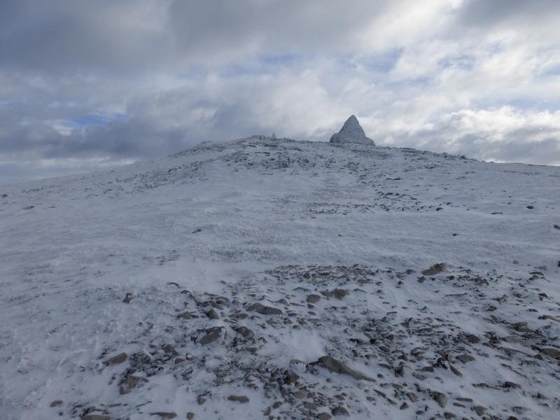
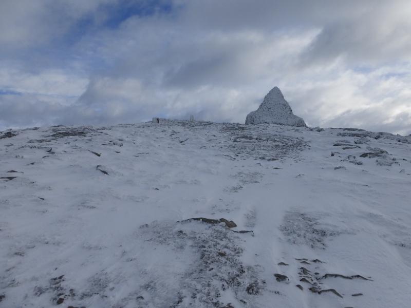
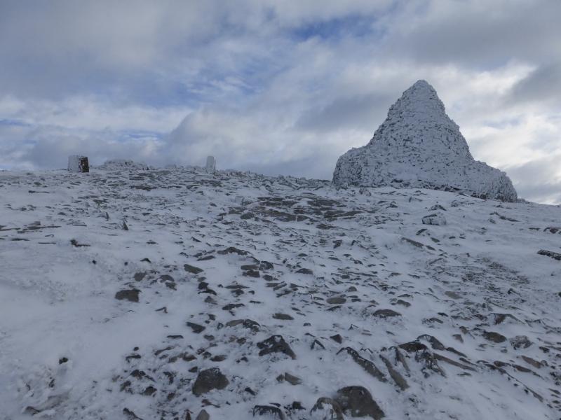
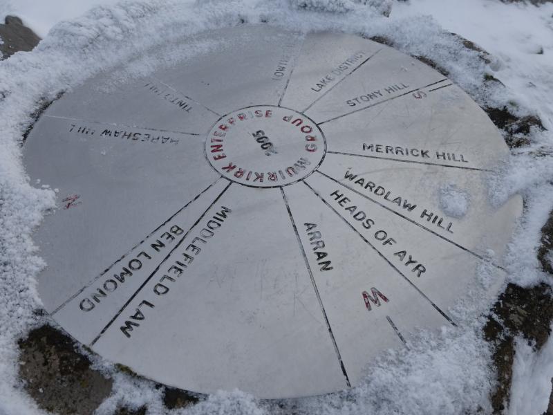
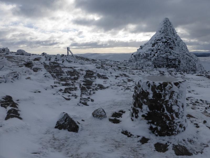
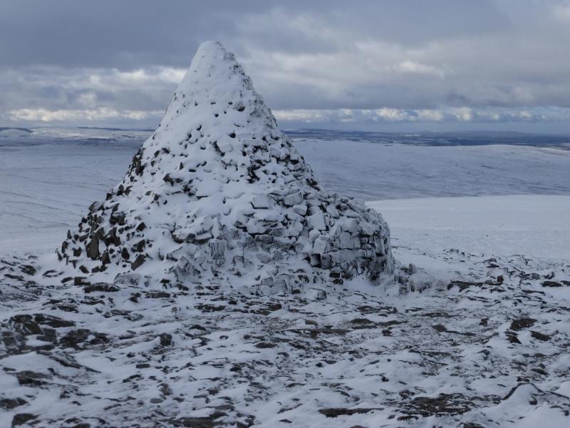
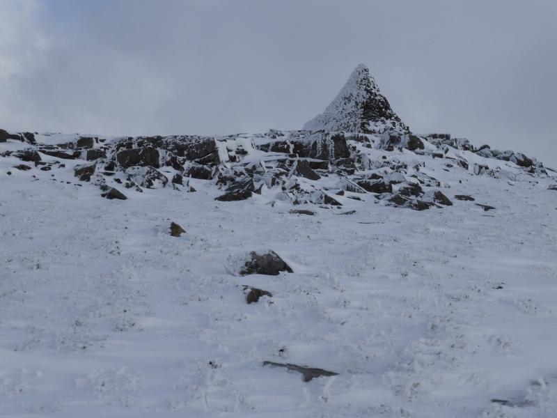
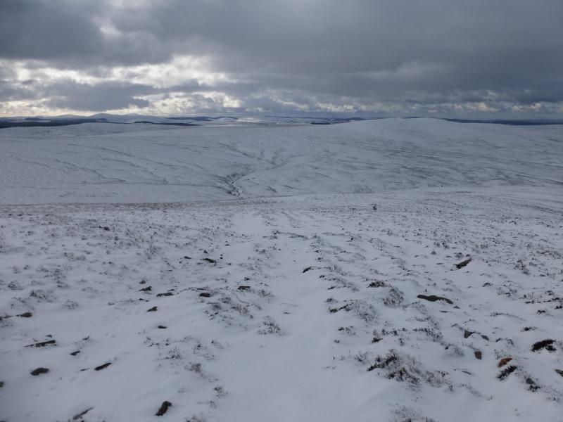
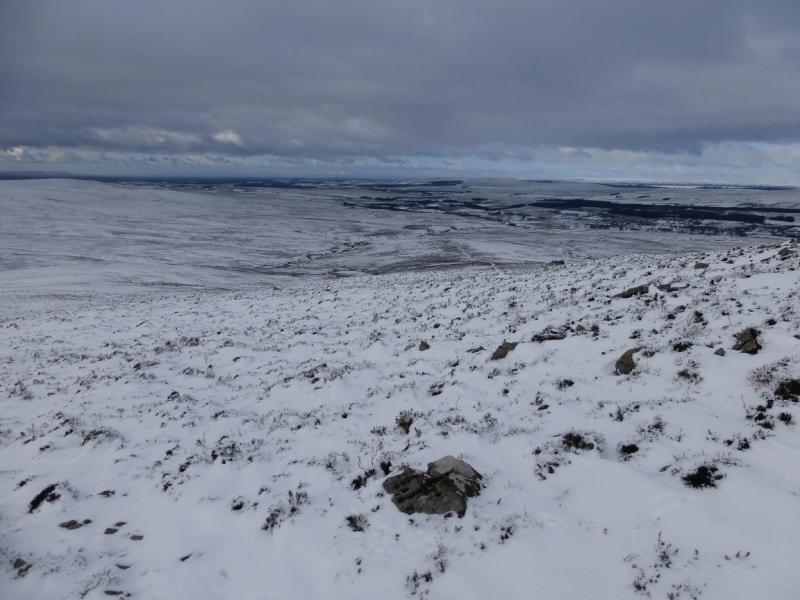
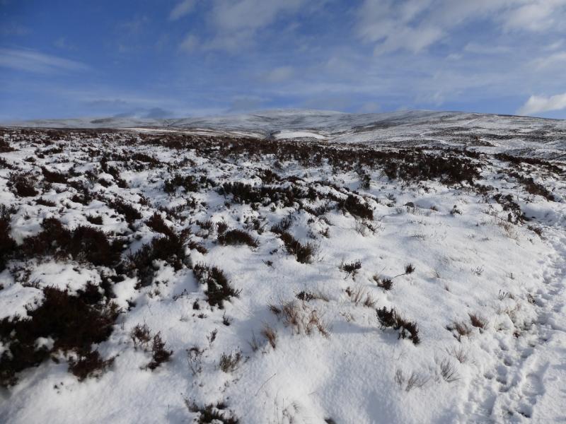
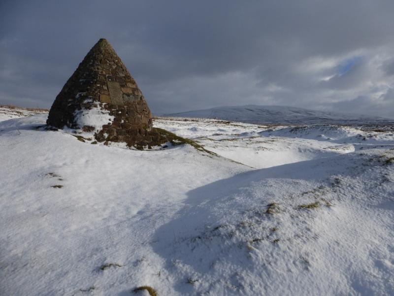
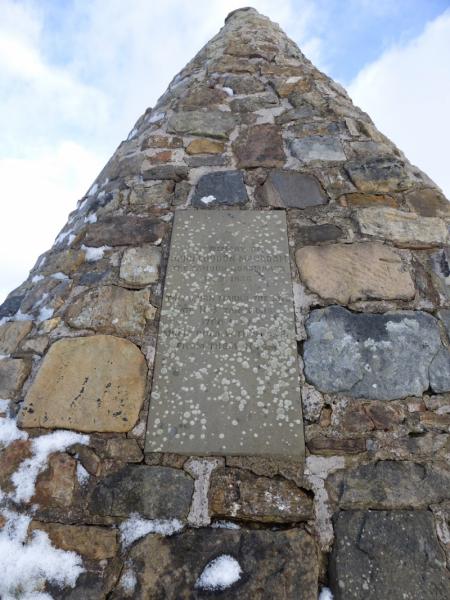
This is a high moorland hill which dominates the surrounding countryside and has good views to Tinto and the Lowther Hills. On a very clear day, Merrick and even Ben Lomond can be seen. There is a view point cairn on the summit. The route is easy but may be boggy in places. On the day in question, there had been heavy recent snowfall which probably made the route easier as it covered up the boggy sections. No winter gear such as crampons, ice axe or snow shoes were needed on the day in question as there are no steep sections but there is no guarantee that they would never be needed. The pointed cairn of Cairn Table is visible from the start on a clear day.
Route
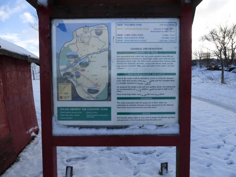
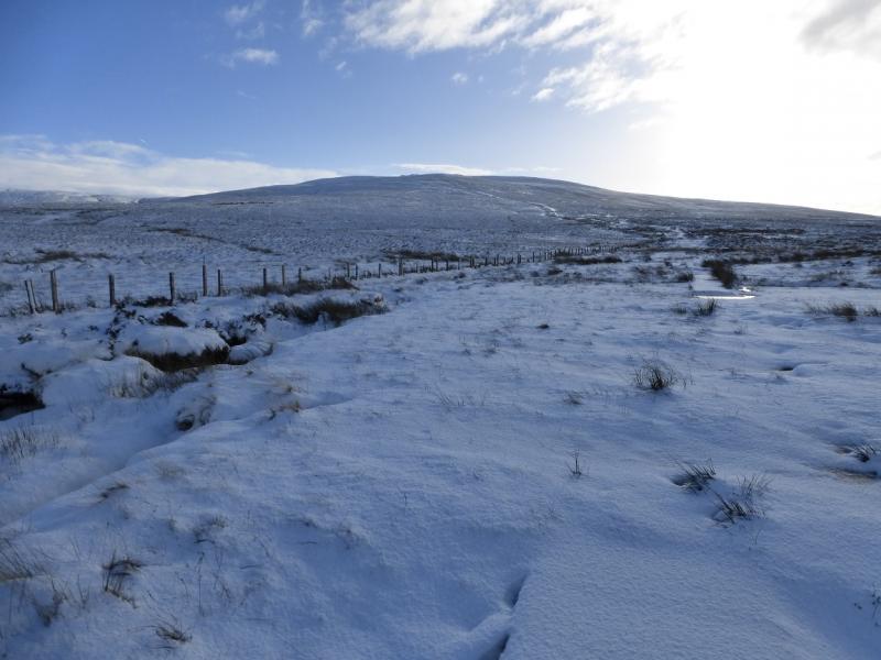
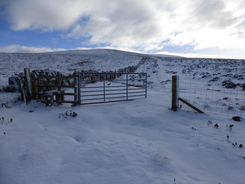
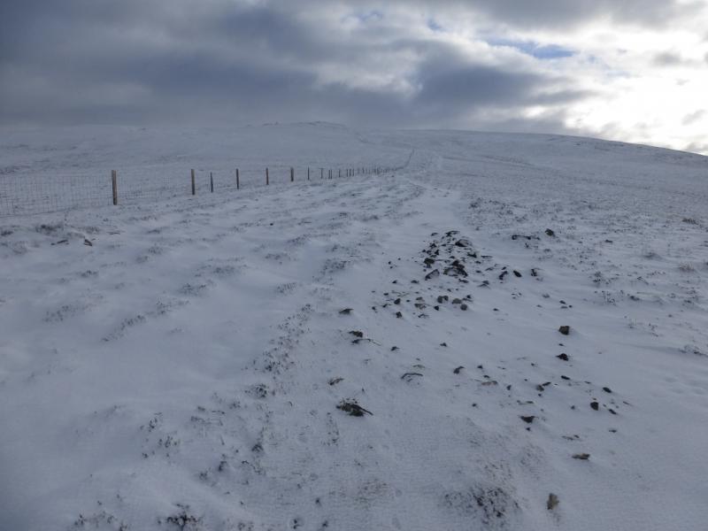
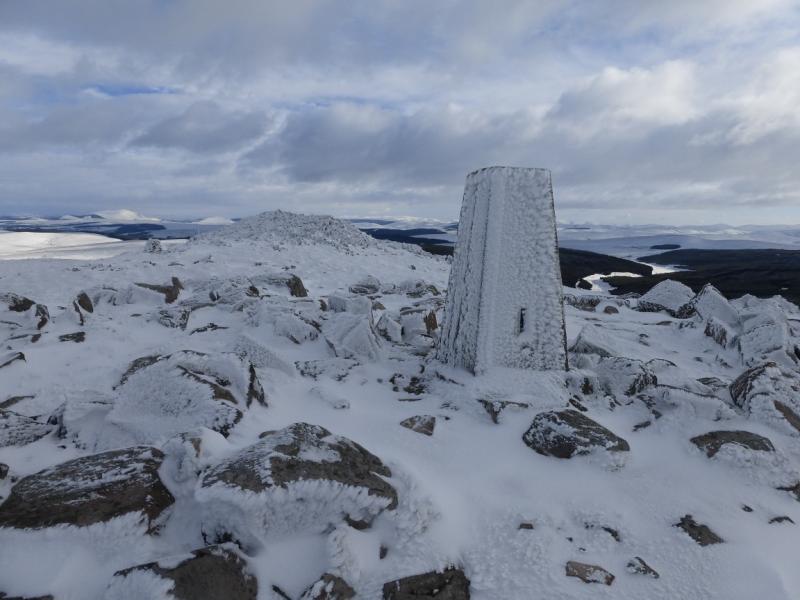
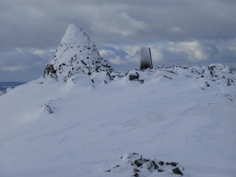
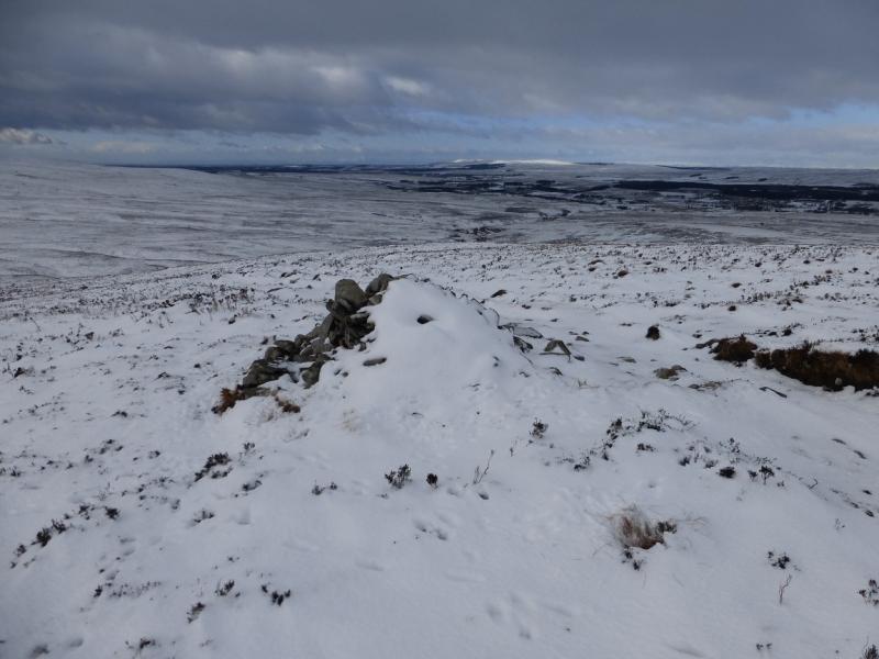
(1) Walk out of the back of the car park and go right on a track behind the houses. Follow this to just past the buildings to where a small gate is seen on the left by a small pre-fabricated hut. Go through the gate and pick a way through the old workings gradually drifting left until a track is reached. Follow this track, roughly SE. There is a fence on its left which goes high up on the hill. There are boggy sections but many of these have little flat wooden bridges with wire mesh on them. The fence is mainly straight. Much higher up, it turns left and a little further a track branches off to the right and leads to a pile of large stones then on to the summit where there is a view point cairn, a huge pointed cairn and a trig point which is the summit of Cairn Table, 593 m.
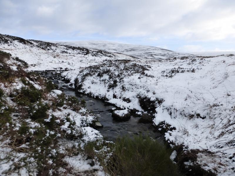
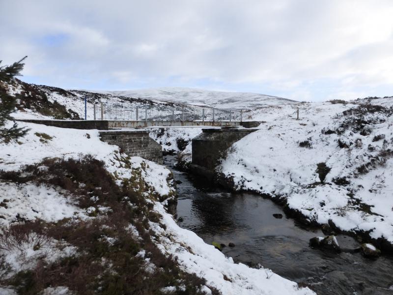
(2) From the summit, descend roughly W following a path which becomes a track lower down and heads for the highly meandering Garpel Water. When close to the burn, do not cross but follow a path on its E bank which leads down to where there is a bridge. It is actually possible to cross the burn higher up and pick up a track on its W bank which leads to this bridge. From the bridge, a track goes N and gradually diverges from Garpel Water (drifting right). This track leads back to the start passing Macadam's Cairn just before the buildings are reached.
Notes
(a) This walk took place on 31st January, 2015.
Photos - Hover over photo for caption. Click on to enlarge. Click on again to reduce.