Get Lost Mountaineering
You are here: Scotland » 00 Galloway and the Borders » Carsphairn Hills & Cairn Table
Blackcraig Hill, Blacklorg Hill, Meikledodd Hill & Alwhat
Blackcraig Hill, Blacklorg Hill, Meikledodd Hill & Alwhat
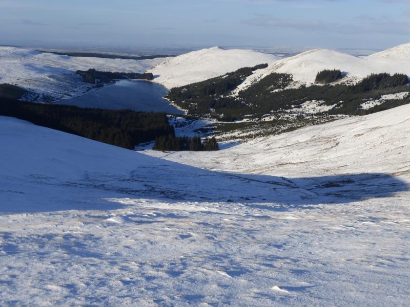
from near Blackcraig in Glen Afton
Start/Finish
There is limited parking on the road in Glen Afton near the track going to Blackcraig which leaves the road at NS 631 080. From the roundabout in New Cumnock which is by the large primary school, take the turning for Dalmellington then take the first left which is Afton Road. Follow this for just over 3 miles to the Blackcraig track. New Cumnock is on the A76 Kilmarnock to Sanquhar road.
Distance/Time
17 km About 6 – 7 hours (under snow)
Peaks
BlackcraigHill, 700 m, NS 647 064.
Blacklorg Hill, 681 m, NS 653 042.
Meikledodd Hill, 643 m, NS 661 027.
Alwhat, 628 m, NS 646 020. OS Explorer sheet 328.
Introduction
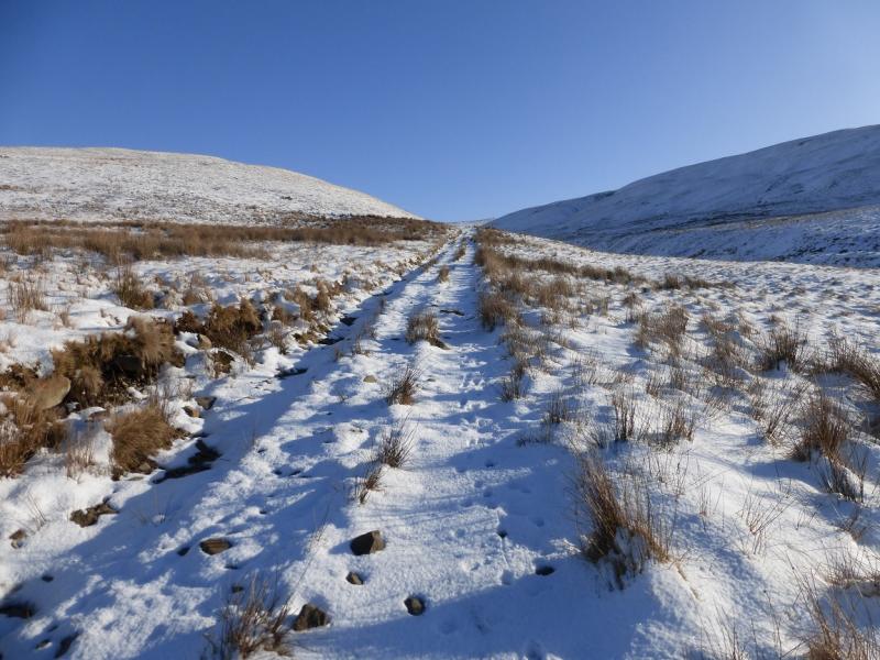
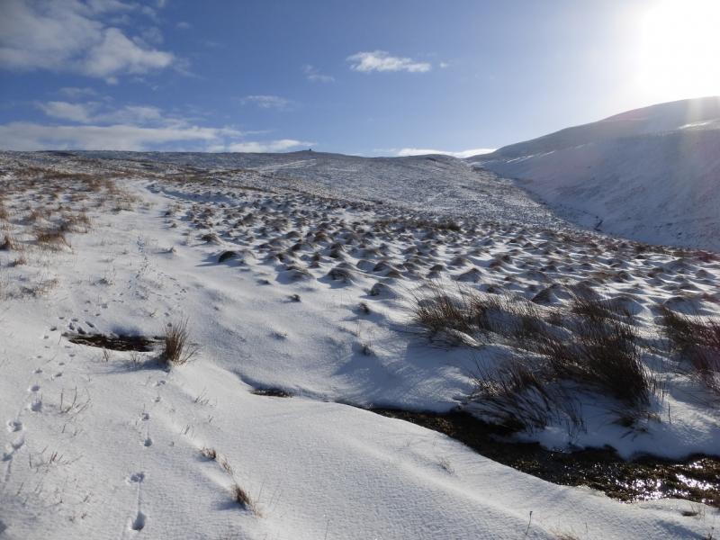
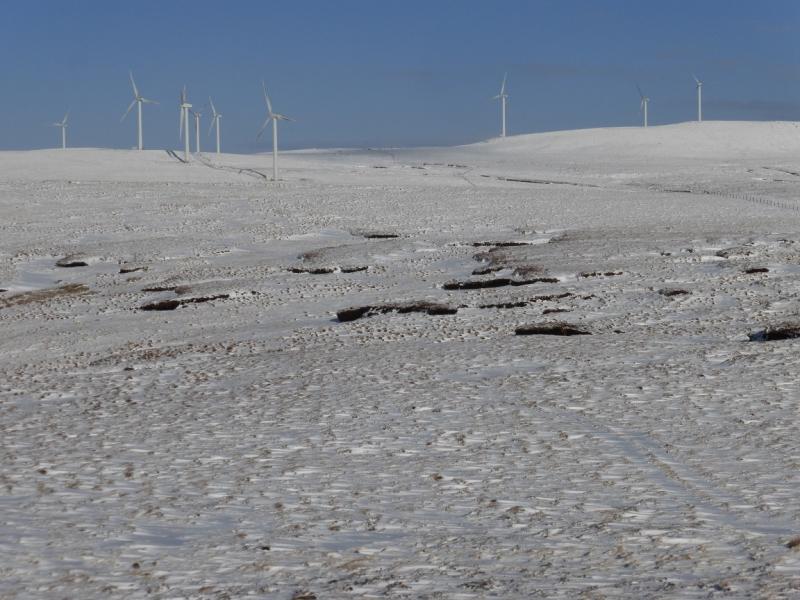
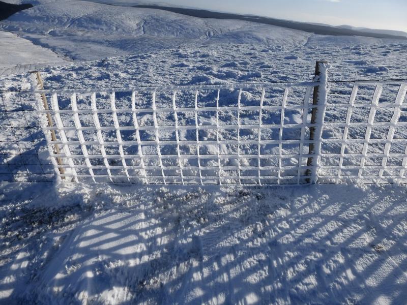
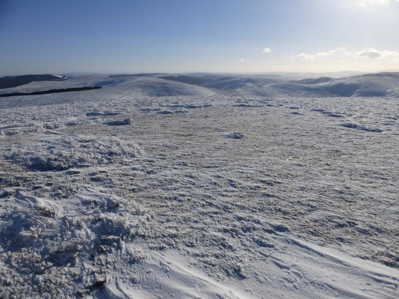
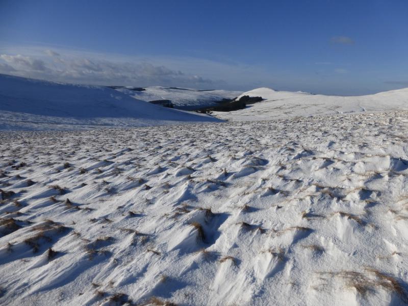
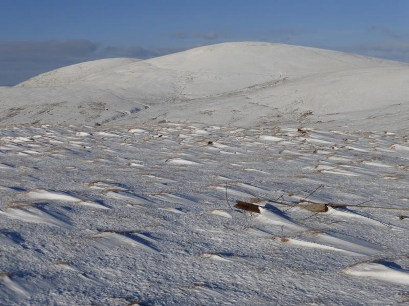
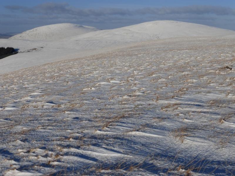
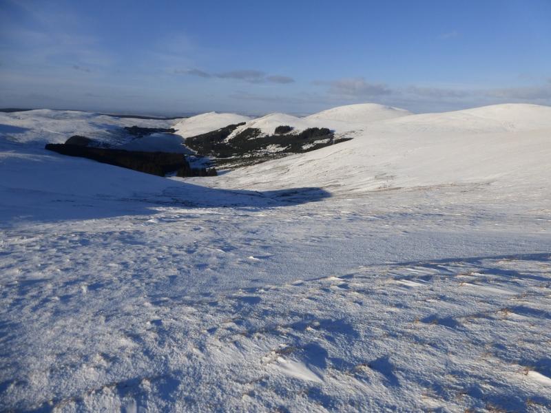
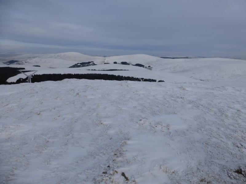
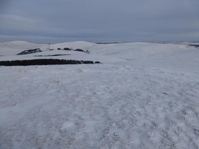
This is a tough high moorland walk – even tougher under snow. It is best saved for a clear day although fences guide much of the way. There are good views especially towards Windy Standard (with its wind farm) and Cairnsmore of Carsphairn. In winter conditions, snow shoes are probably a good idea and, at least instep crampons for any icy stretches.
Route
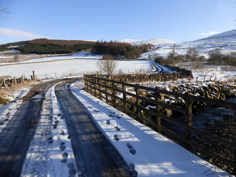
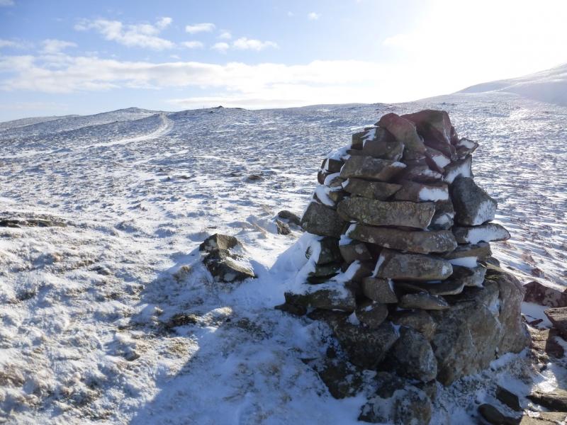
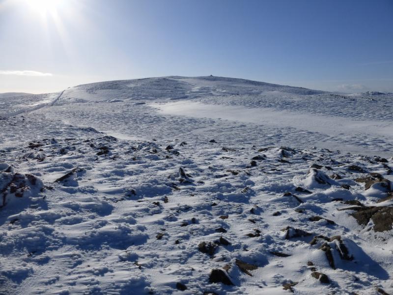
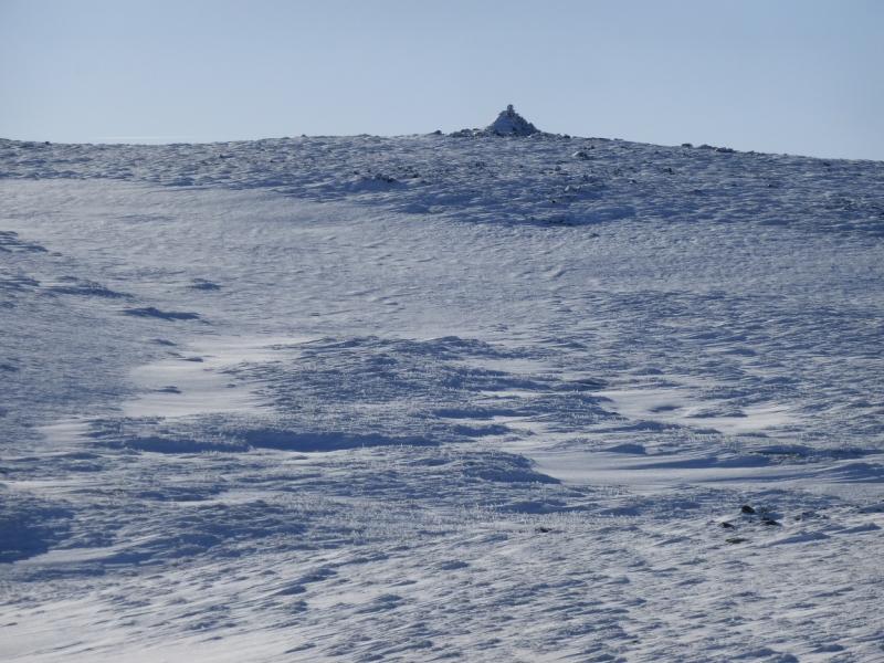
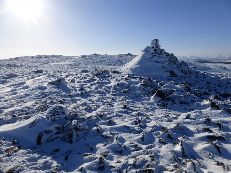
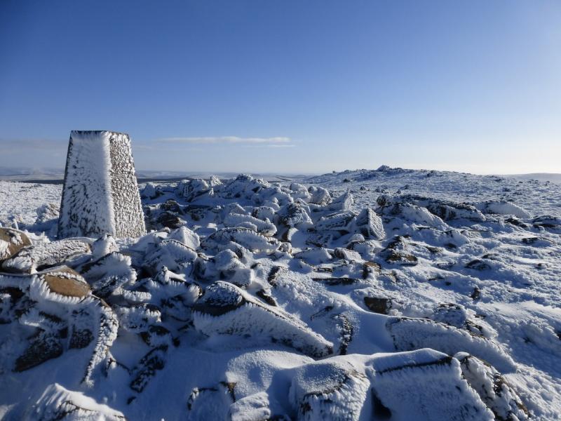
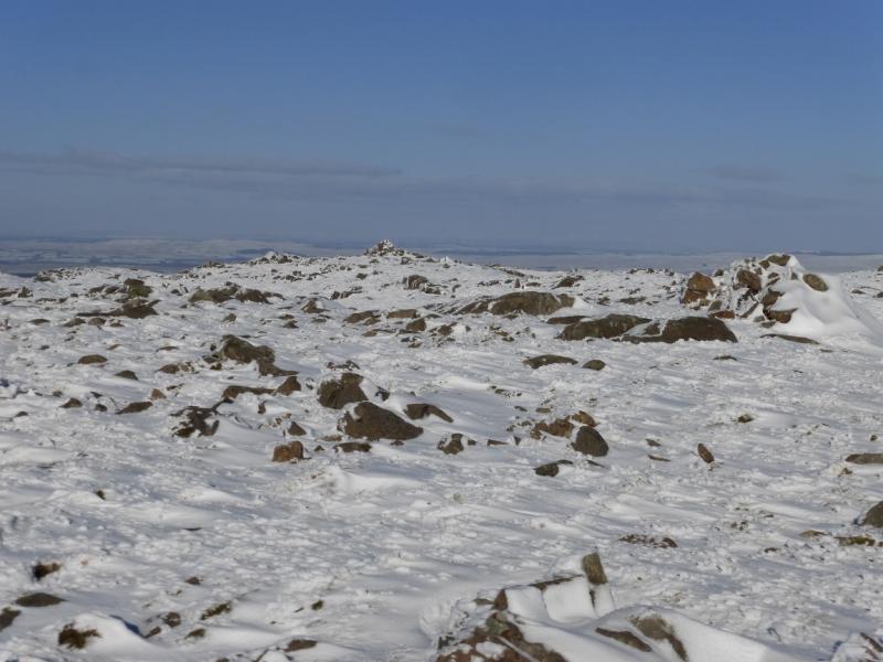
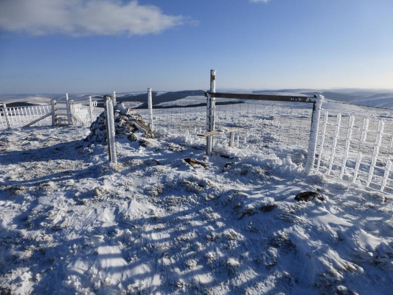
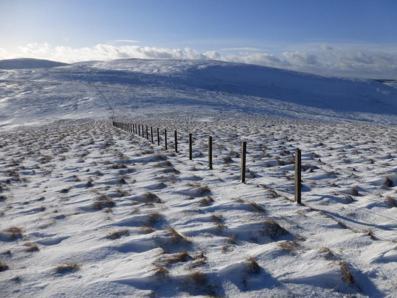
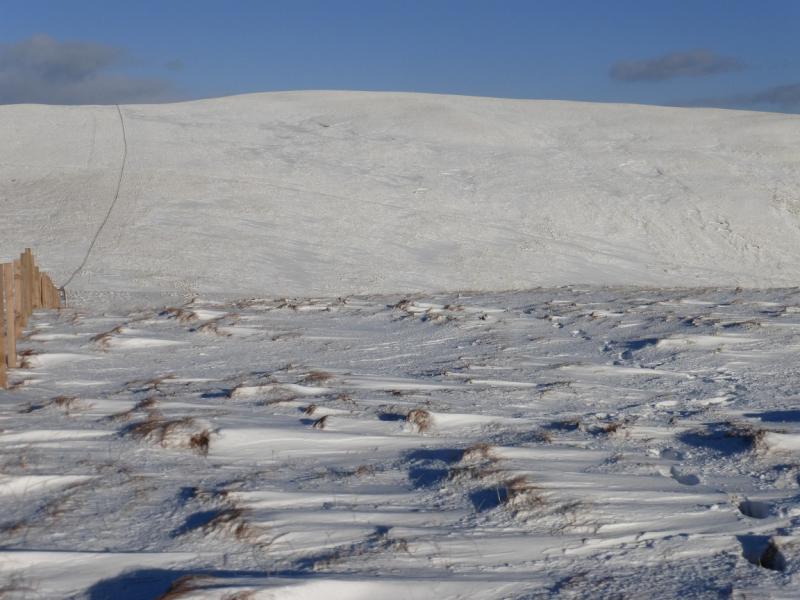
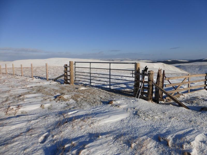
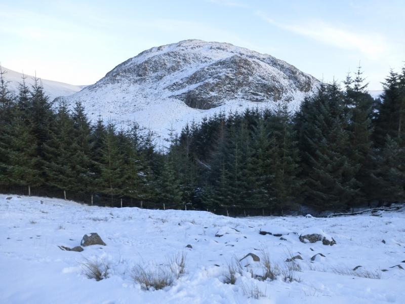
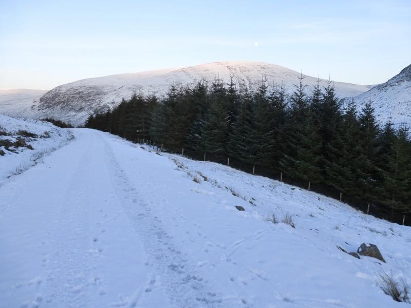
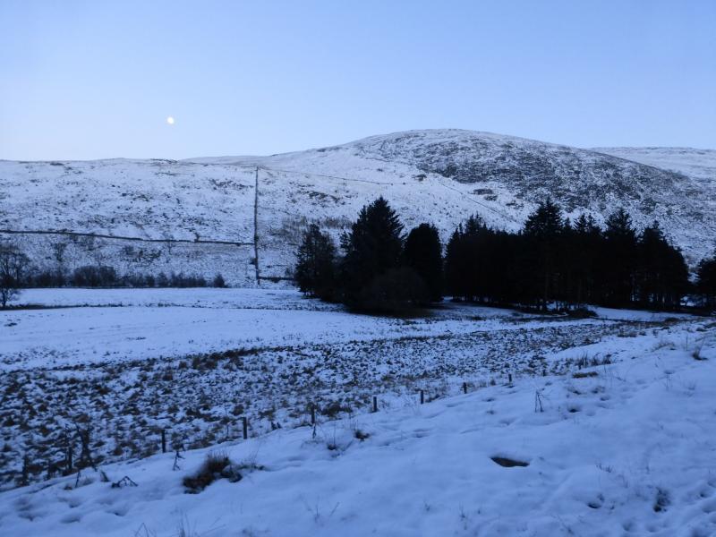
(1) Walk up the track to Blackcraig, following the track to the left of the buildings which goes up the side of a wood (on the right), goes through a gate, then continues uphill on the N side of Langlee Burn. Follow the track up, gradually curving around to the right and eventually reach a prominent cairn (not the highest point) on Quintin Knowewhich is essentially a shoulder on the NNE ridge of Blackcraig Hill. Continue on the track to another gate then follow the fence going roughly S. This has one steeper section which is likely to be the iciest part of the whole route in winter. Continue up, following the fence. Higher up, drift right to stay on the crest and reach a prominent cairn which marks the start of the summit plateau. Continue on, crossing a fence, and soon reach the trig point which marks the summit of Blackcraig Hill, 700 m. There are other cairns on the plateau.
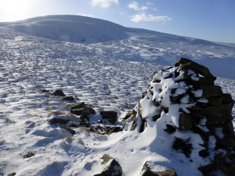
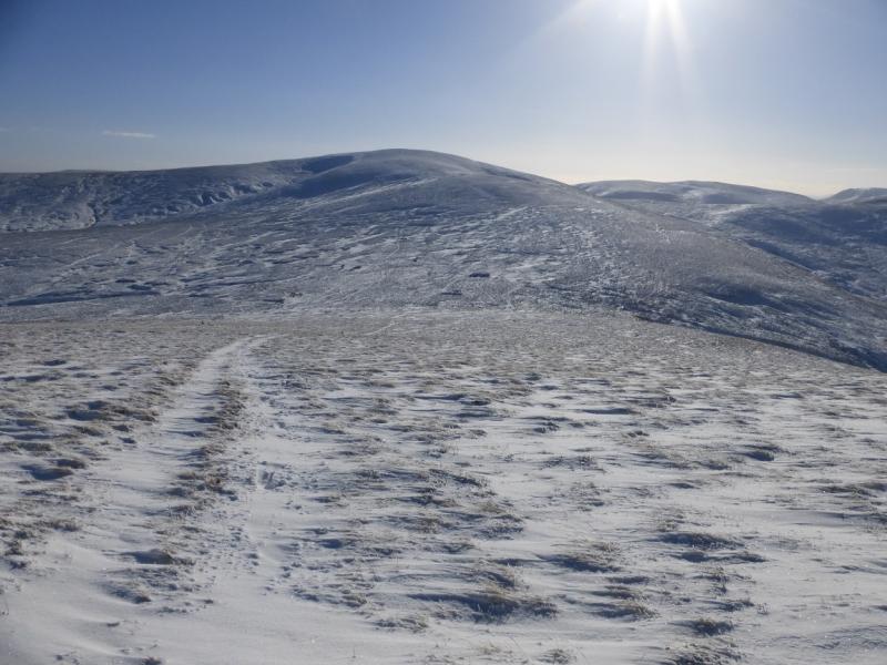
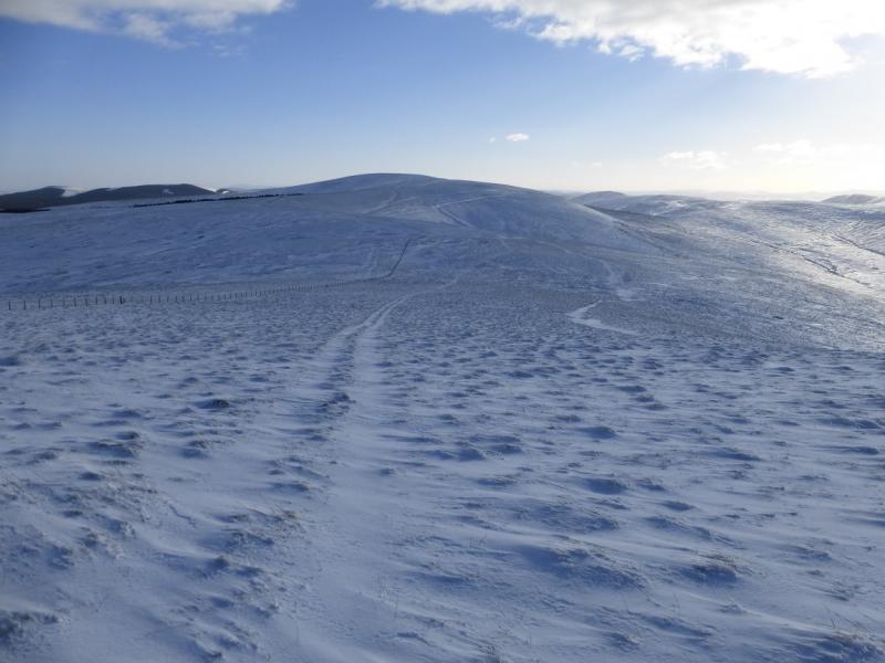
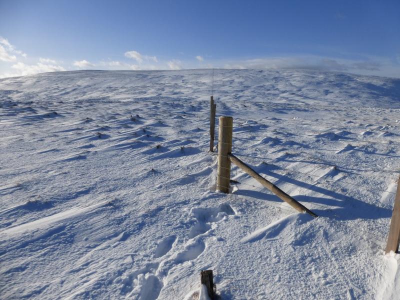
(2) Descend S, following the original fence down into a broad col then up on to a small plateau where a medium cairn, by the fence, marks the summit of Blacklorg Hill, 681 m.
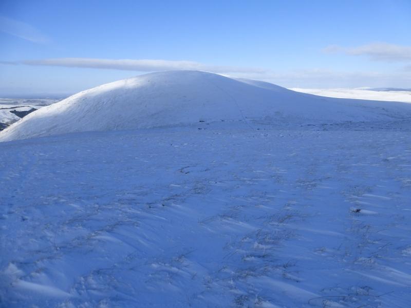
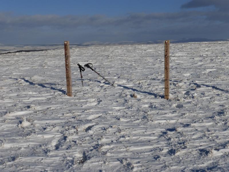
(3) Descend SSE, still following the fence, into a broad col then ascend up easy slopes, still following the fence, to reach the flat summit where there is no cairn (unless it is so small it is hidden under snow!) but the highest point seems to be by the highest point of the fence which will be the summit of Meikledodd Hill, 643 m.
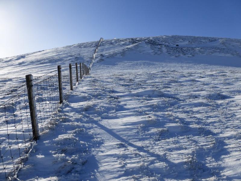
(4) Descend SW, following a fence, into a broad col then ascend, still following the fence which makes two changes of direction before reaching the highest point by a metal gate (there is no cairn) which marks the summit of Alwhat, 628 m.
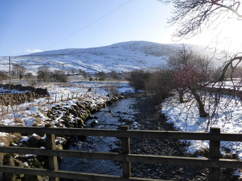
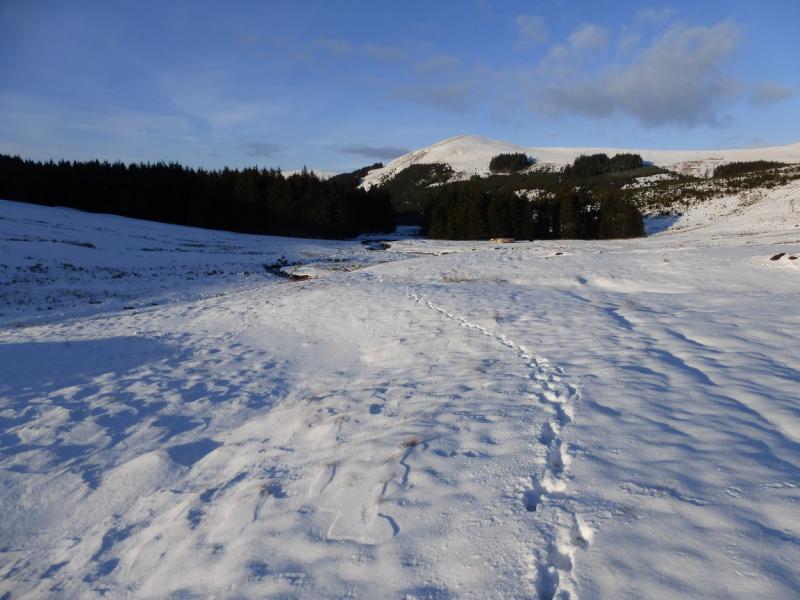
(5) Descend NNW down easy slopes (no fence to follow), aiming for Afton Water. Lower down, there is a track beside the river which follows it through a gap in the forestry before crossing the river at a bridge. Continue on the track which goes through the forestry on the W side of the reservoir. Stay on the main track, ignoring any footpath signs. Pass the dam and exit the forest. Continue on the track for over 2 km until it joins the road just to the N of Craigdarroch. Walk N along the road to the start.
Notes
(a) This walk took place on 1st February, 2015.
Photos - Hover over photo for caption. Click on to enlarge. Click on again to reduce.