Get Lost Mountaineering
You are here: Scotland » 00 Galloway and the Borders » Carsphairn Hills & Cairn Table
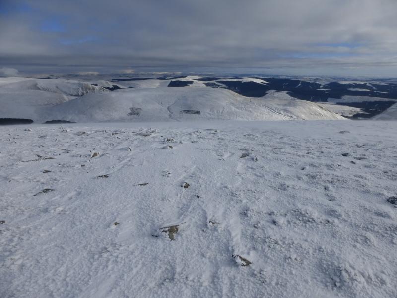
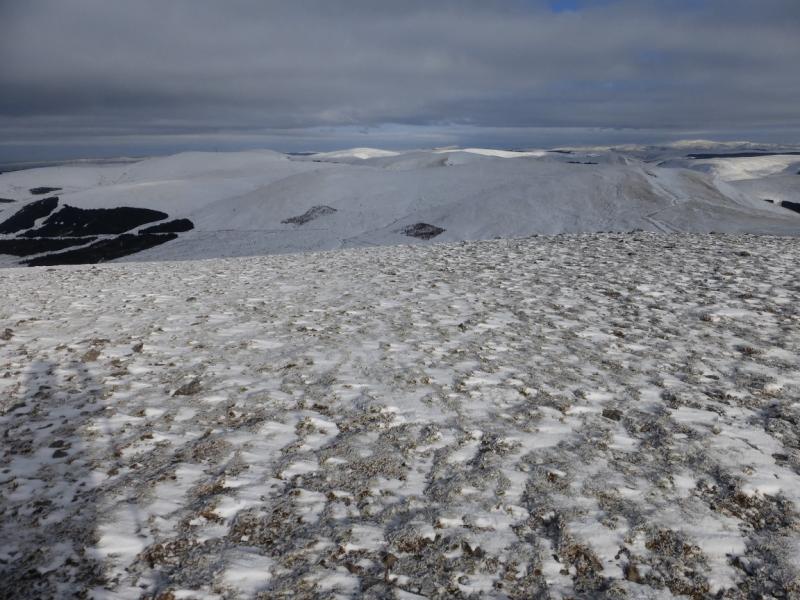
Moorbrock Hill, Keogh Rig & Windy Standard from the South
Moorbrock Hill, Keogh Rig & Windy Standard from the South
from Craigengillan in the Water of Ken Valley
Start/Finish
Craigengillan which is about 2 miles up the Water of Ken valley. Parking is very limited so arrive early on possible busy days. From the village of Carsphairn on the A713 Ayr to Castle Douglas road, drive for about 0.5 miles east along the A713 then turn left on to the B729 road for Moniaive. After about 4 – 5 miles, at Smittons Bridge, turn left up the Water of Ken valley.
Distance/Time
18 km About 6 – 7 hours (under deep snow)
Peaks
MoorbrockHill, 650 m, NX 620 983.
Keoch Rig, 611 m, NX 617 999.
Windy Standard, 698 m, NS 620 014. OS Explorer sheet 328.
Introduction
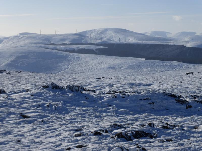
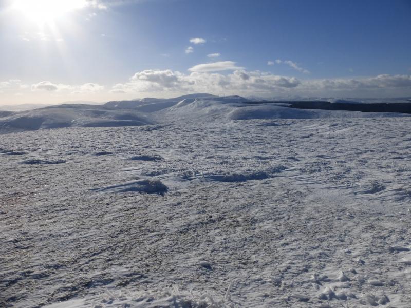
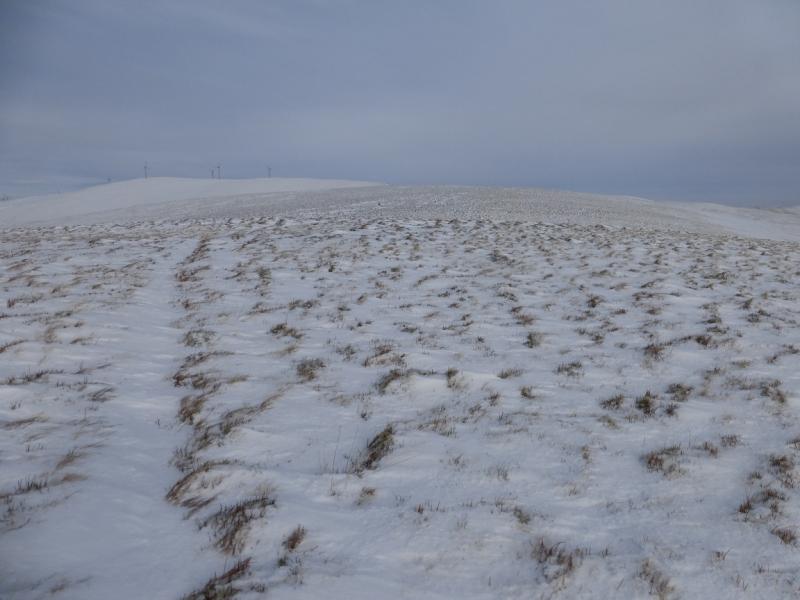
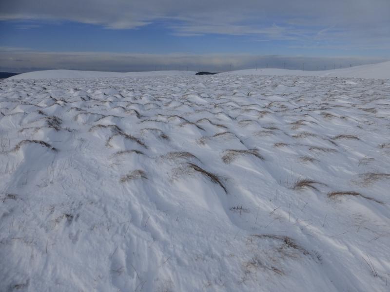
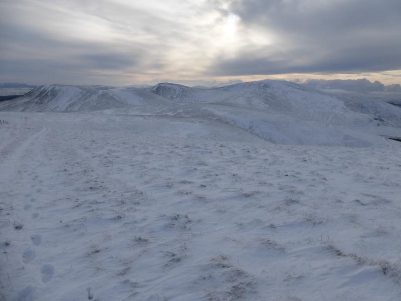
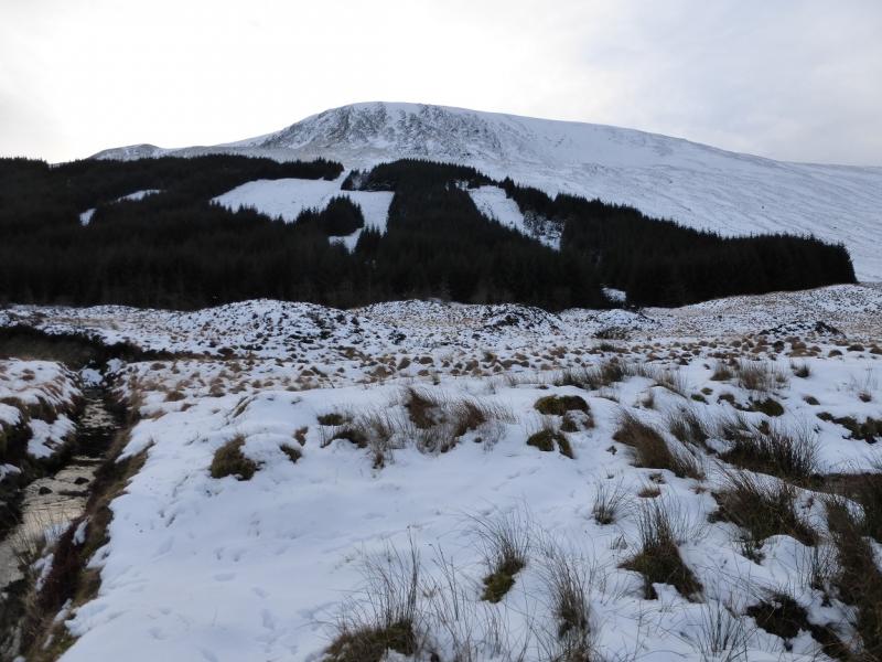
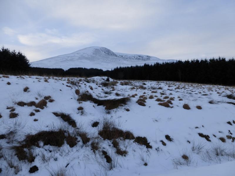
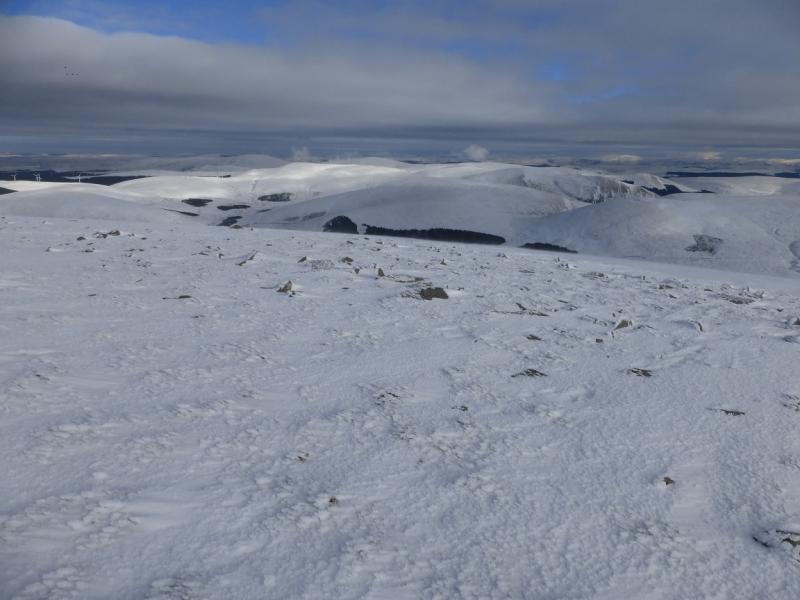
This is a tough high moorland walk – even tougher under snow. It is best saved for a clear day although fences and tracks guide much of the way. There are good views especially of Beninner and Cairnsmore of Carsphairn as well as to Blackcraig Hill and Blacklorg Hill plus further hills on very clear days. In winter conditions, snow shoes are probably a good idea and, at least instep crampons for any icy stretches. The route was walked under deep snow so some paths not shown on the map may not have been seen but, even under snow, there seem to be plenty of paths and tracks on these hills with hardly any being shown on the maps.
Route
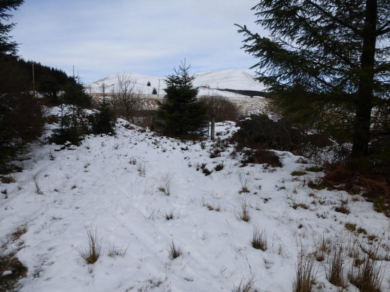
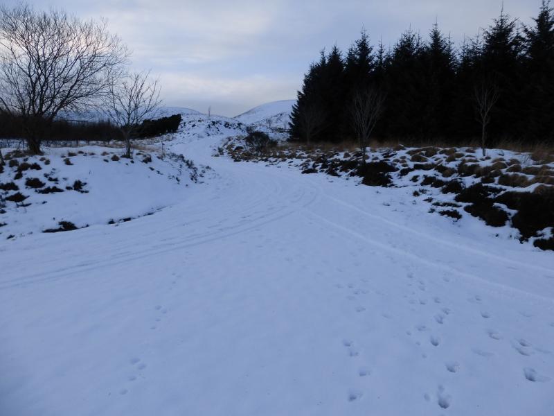
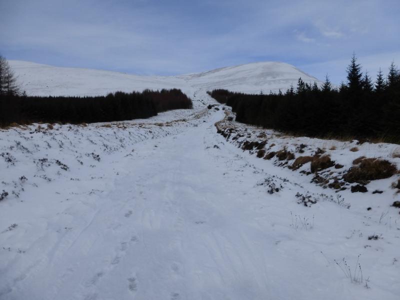
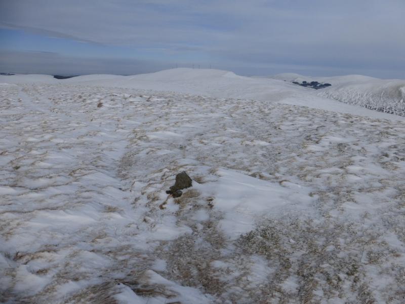
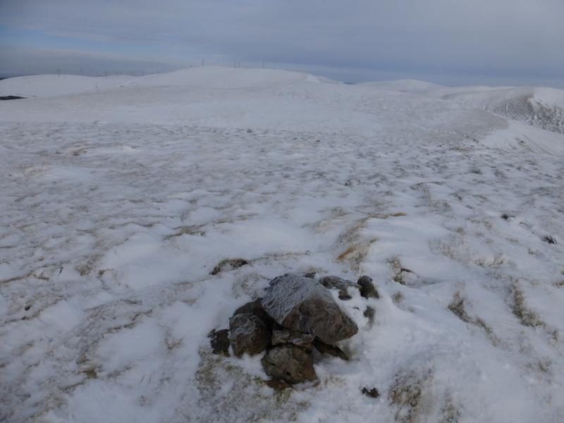
(1) Walk N up the track from Craigengillan for about 1.4 km to where the main track goes left towards the forestry. Directly ahead is a gate which gives access to the old track which soon crosses a burn by an old bridge. This track is rough, overgrown and boggy but relatively short and soon converges with the new, but longer, track to Moorbrock meeting the new track by a sign proclaiming “Moorbrock”. Continue up the new track and soon reach the modern houses at Moorbrock. Follow the track through Moorbrock then cross the Poltie Burn by a ford. Almost immediately, turn left and follow the track up the NE side of the burn. This goes through a wide gap in the forestry before turning left to contour around the SW flank of Green Hill giving good views of Beninner and Cairnsmore of Carsphairn. The track goes up and along the crest of Moorbrock Hill. There is a small cairn, to the right of the track, on the S end but the highest point is further N. Continue along the crest and soon reach a very small cairn which marks the summit of Moorbrock Hill, 650 m.
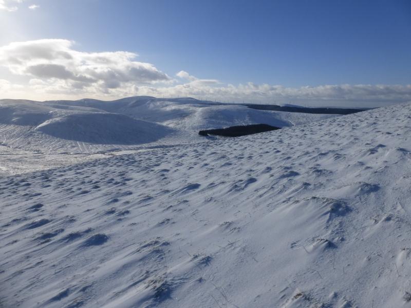
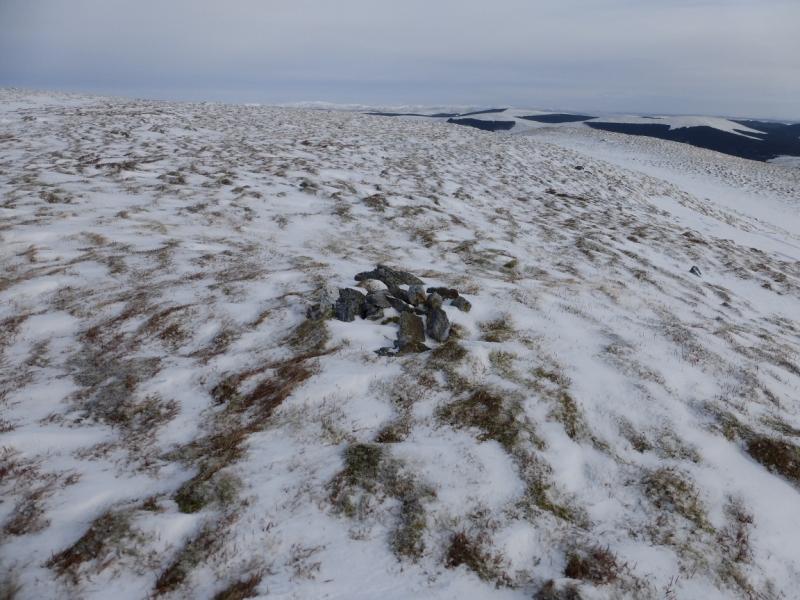
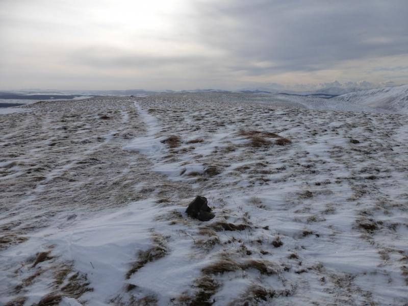
(2) Continue along the crest, still on the track which drifts NW to the NW top where there is a similar sized cairn. A descent NNW leads down to a broad col then up the other side to reach Alwhat. A track continues roughly NE to Keoch Rig which can be boggy when not frozen. Look around for the highest point as there is no cairn (unless very small and hidden under the snow!) to mark the summit of Keoch Rig, 611 m.
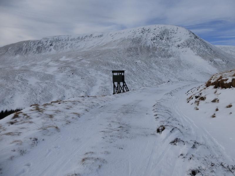
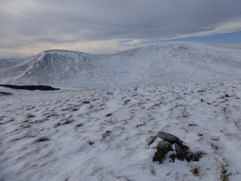
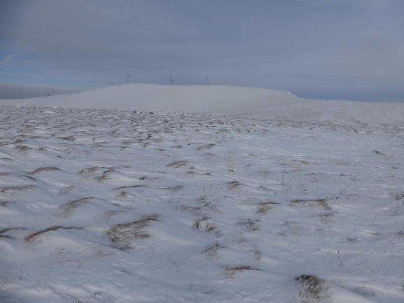
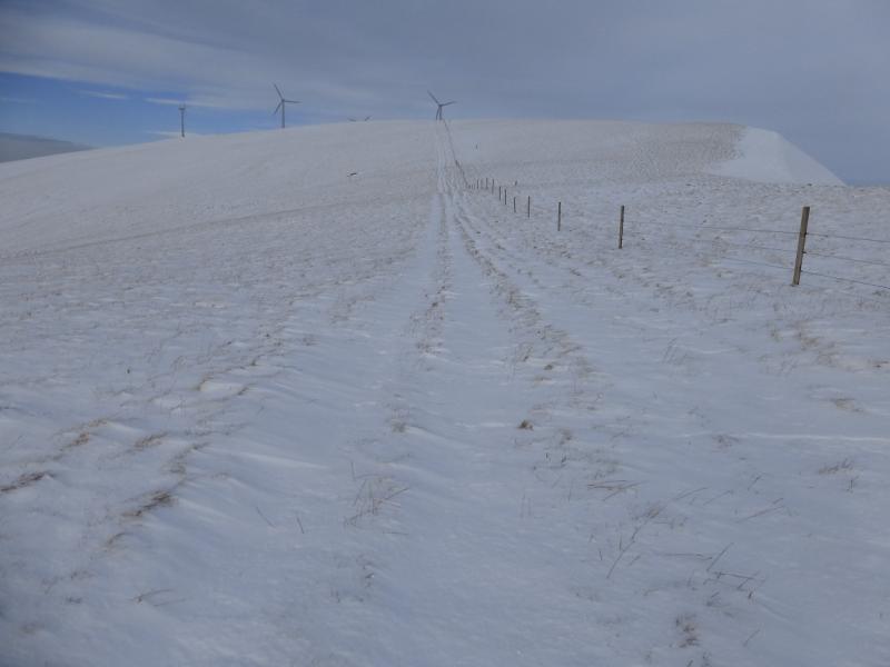
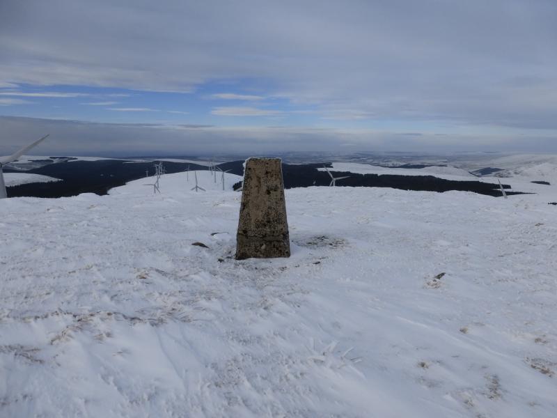
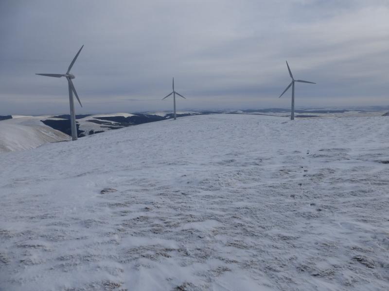
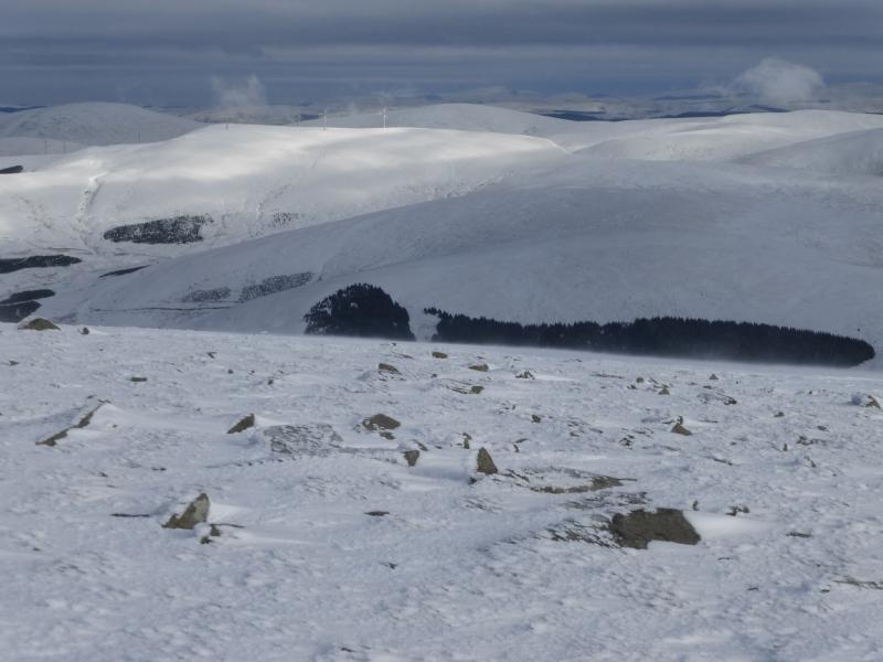
(3) Continue NE, with hardly any descent, to reach the S ridge of Windy Standard where a fence and track go up this ridge. Note that there are steep crags on the E side of the fence. The fence leads up on to the summit plateau where it meets a fence crossing the plateau at at old gate. Go through this and walk NW for about 400 m, through the wind turbines, to reach the trig point which marks the summit of Windy Standard, 698 m.
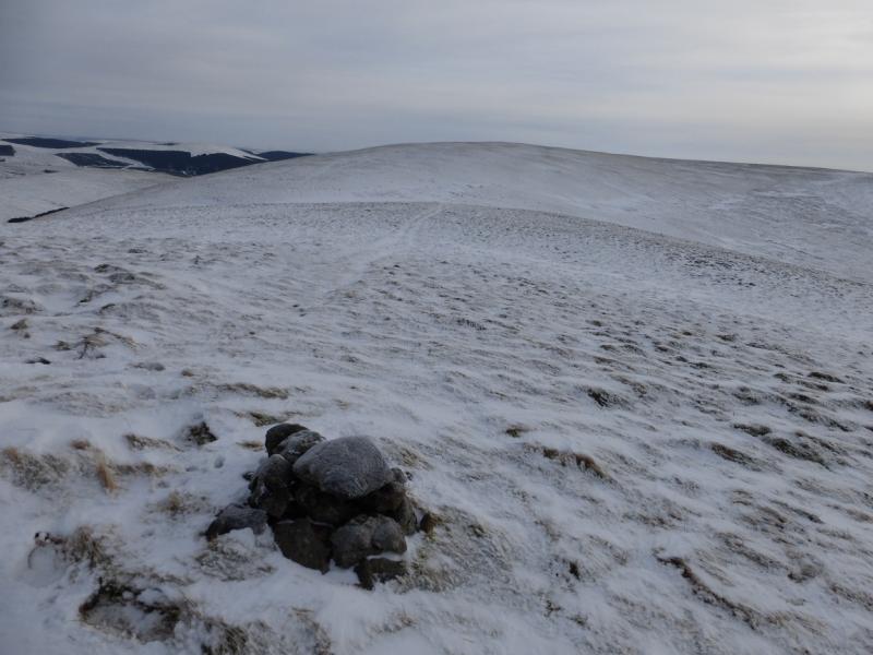
(4) Retrace down the S ridge of Windy Standard and follow the fence down into the col known as the Hags of Poljargen before Mid Hill of Glenhead. It is possible to continue over the Mid Hill ridge and down Glenhead Rig as described in various guide books such as “The Grahams” by Andrew Dempster but that route has not been checked out. This route, however, descends from the Hags of Poljargen down the Poljargen Burn towards the artificial lake at the bottom giving good views of the craggy side of Moorbrock Hill. The ground can be rough and boggy. Go around the W side of the lake then go S to reach the obvious track. Turn right and follow the track for about 2 km to reach Moorbrock from where the outward route can be retraced.
Notes
(a) This walk took place on 2nd February, 2015.
Photos - Hover over photo for caption. Click on to enlarge. Click on again to reduce.