Get Lost Mountaineering
You are here: Scotland » 00 Galloway and the Borders » Carsphairn Hills & Cairn Table
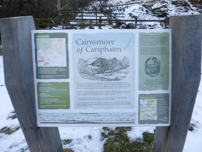
Cairnsmore of Carsphairn & Beninner
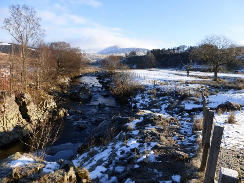
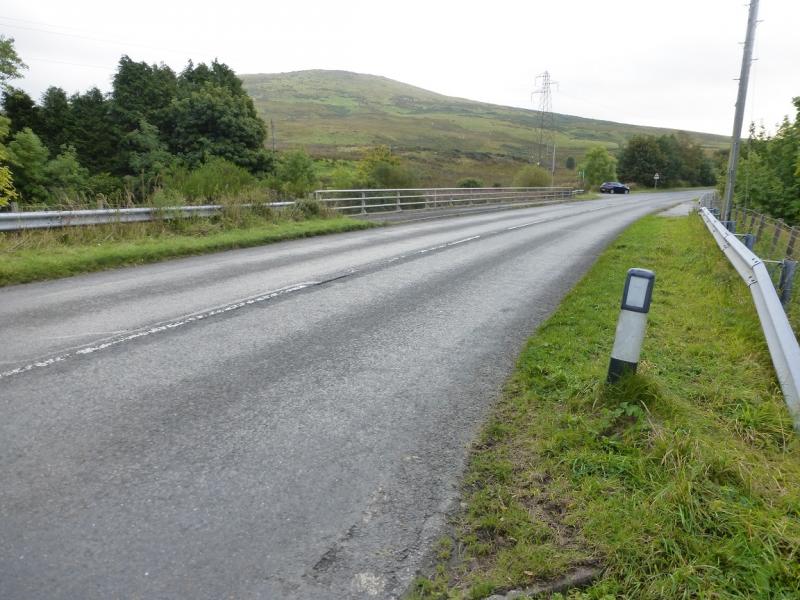
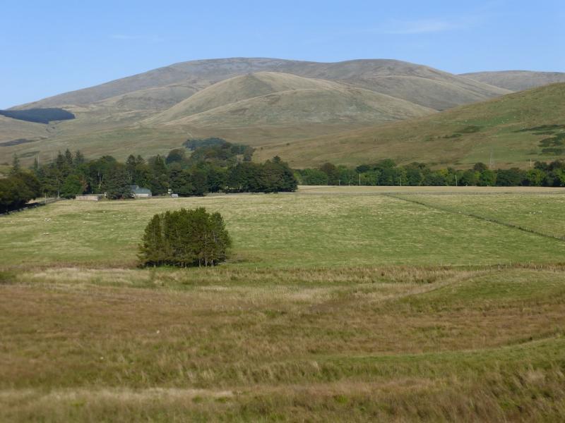
Cairnsmore of Carsphairn & Beninner from Bridge-end near Carsphairn
Start/Finish
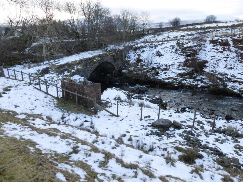
Bridge-end on the A713, Ayr to Castle Douglas road, where the road crosses the Water of Deugh about a mile north of the village of Carsphairn. There is some limited rough off road parking here. There are public toilets on the A713 in Carsphairn.
Distance/Time
14 km About 6 hours (under deep snow)
Peaks
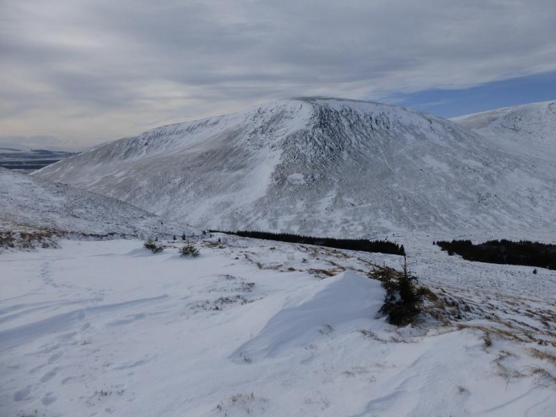
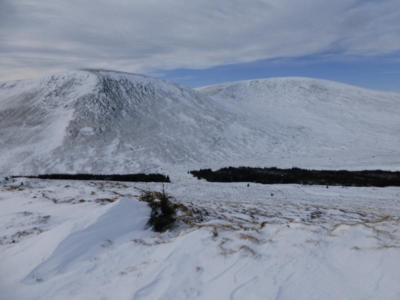
Cairnsmore of Carsphairn, 797 m, NX 594 979.
Beninner, 710 m, NX 605 971. OS Explorer sheet 328.
Introduction
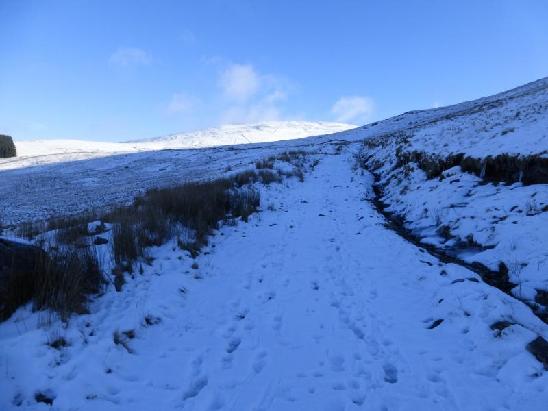
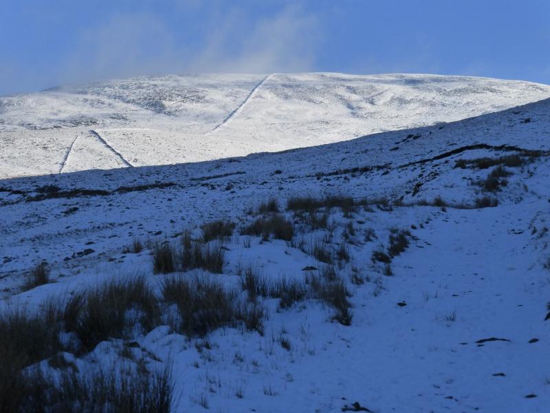
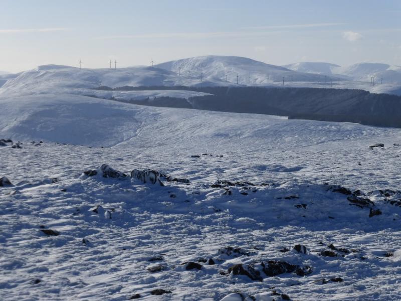
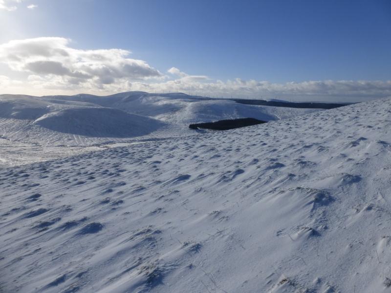
This is a pleasant walk to one of the highest peaks in Galloway. It is best saved for a clear day although fences and tracks guide much of the way. There are good views especially to the Windy Standard and Corserine ranges plus further hills on very clear days. In winter conditions, snow shoes are probably a good idea and, at least instep crampons for any icy stretches.
Route
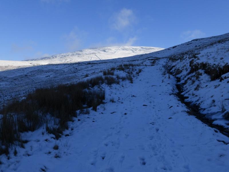
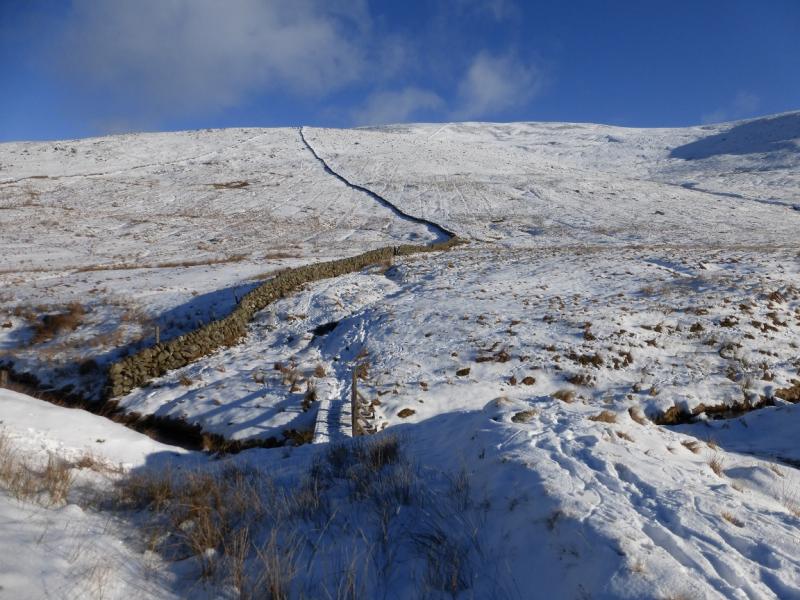
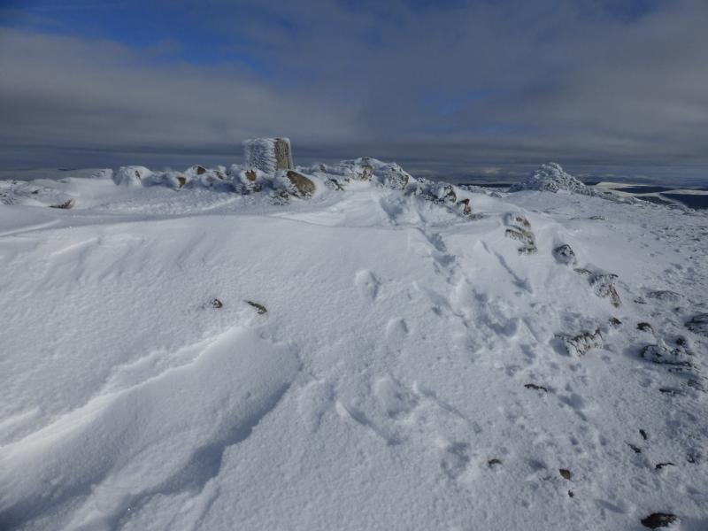
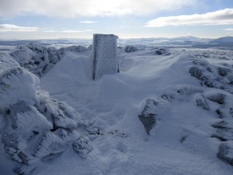
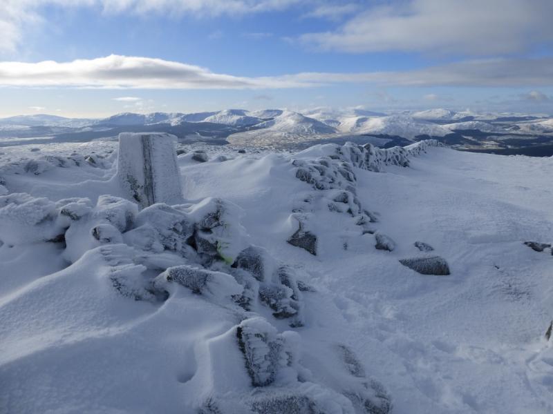
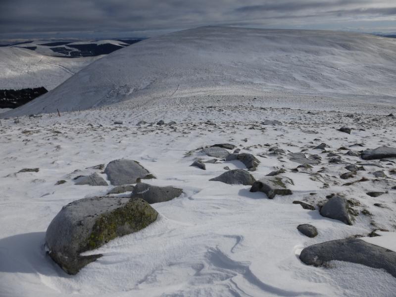
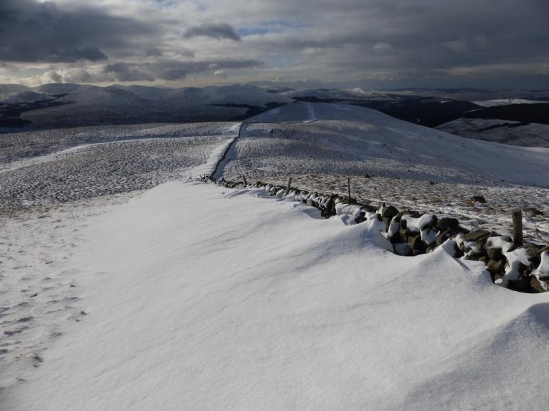
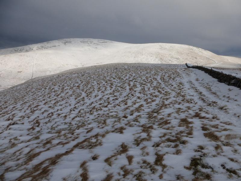
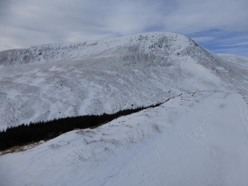
(1) Walk NNE up the track on the E side of the Water of Deugh. Follow this to its end then follow a path by the wall which goes up the WSW ridge, moderately steep in places, to reach the summit plateau where there is a large cairn and a trig point in a shelter cairn which marks the summit of Cairnsmore of Carsphairn, 797 m.
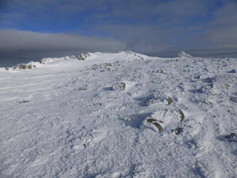
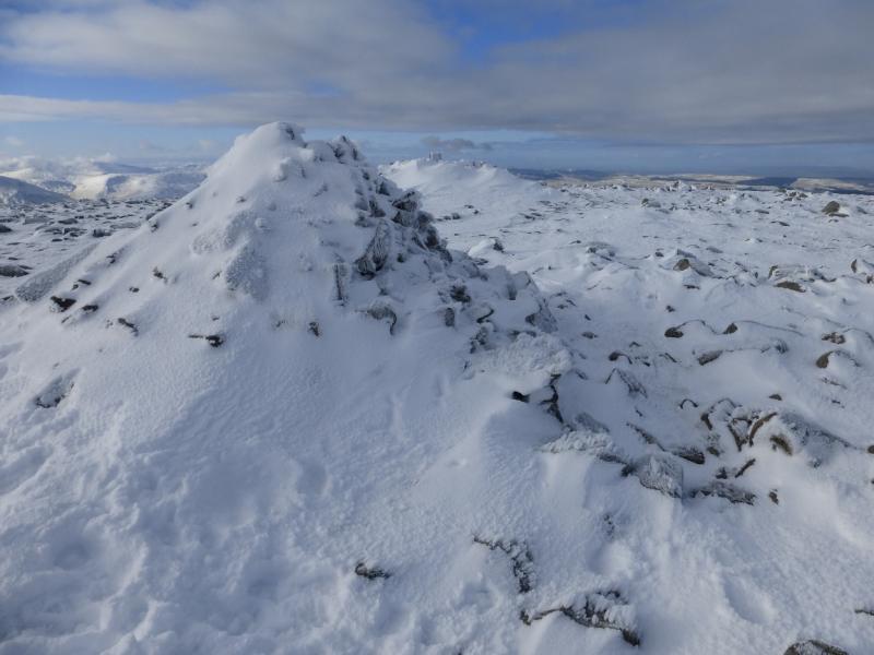
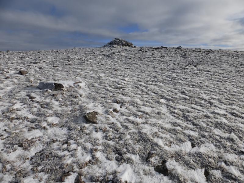
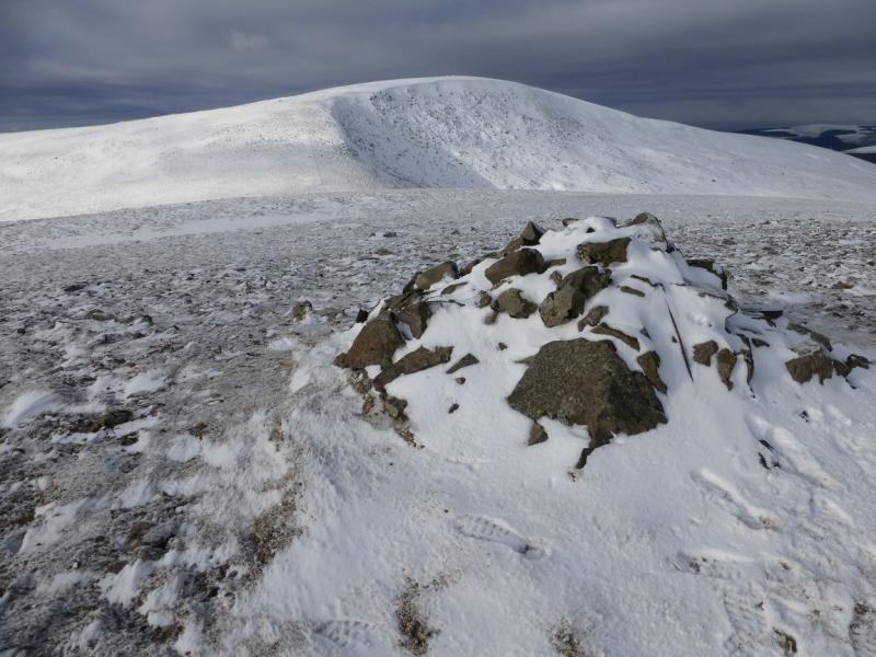
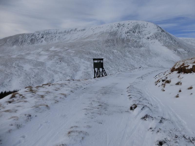
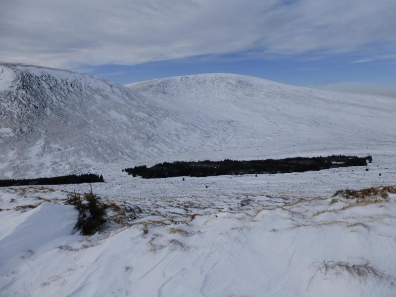
(2) From the summit, descend S, gradually curving round to the E, picking up a fence lower down, to reach the broad col with the curious name of Nick of the Lochans. Cross the fence at a stile then follow a path, roughly ESE, up to a stony plateau where a large cairn marks the summit of Beninner, 710 m.
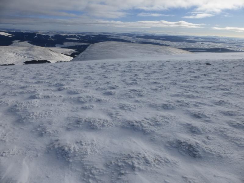
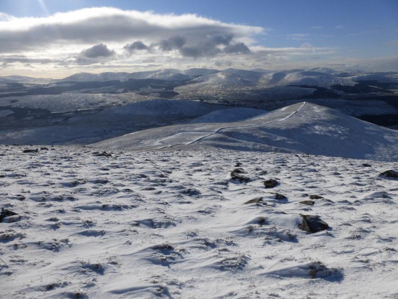
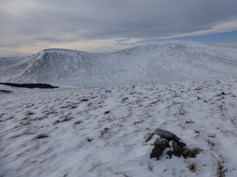
(3) Retrace to the col then follow the fence up as if returning to the summit of Cairnsmore of Carsphairn and continue following it when it turns S, before the summit, to go down the Black Shoulder ridge. Continue down, with the fence becoming a wall and follow it to the top of Dunool where there is a cairn. When the wall changes direction to descend to a col, continue ahead and descend the moderately steep, but not difficult, slope to reach the outward track just before a gate. Follow the track back to the start.
Notes
(a) This walk took place on 3rd February, 2015.
Photos - Hover over photo for caption. Click on to enlarge. Click on again to reduce.