Get Lost Mountaineering
You are here: Scotland » 00 Galloway and the Borders » Carsphairn Hills & Cairn Table
Alwhat, Alhang & Windy Standard from the North
Alwhat, Alhang & Windy Standard from the North
from near Craigdarroch in Glen Afton
Start/Finish
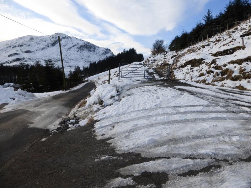
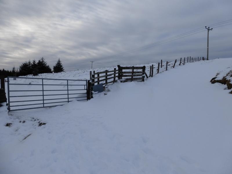
There is limited parking on the road in Glen Afton before and after the track going to Craigdarroch. The access track for the walk leaves the road just before Craigdarroch at NS 632 068. Try to avoid parking near the gate at the start of the access track as very large vehicles use this track. From the roundabout in New Cumnock which is by the large primary school, take the turning for Dalmellington then take the first left which is Afton Road. Follow this for just over 3 miles to the Blackcraig track. New Cumnock is on the A76 Kilmarnock to Sanquhar road.
Distance/Time
17 km About 6 – 7 hours (under snow)
Peaks
Alwhat, 628 m, NS 646 020.
Alhang, 642 m, NS 642 010.
Windy Standard, 698 m, NS 620 014. OS Explorer sheet 328.
Introduction
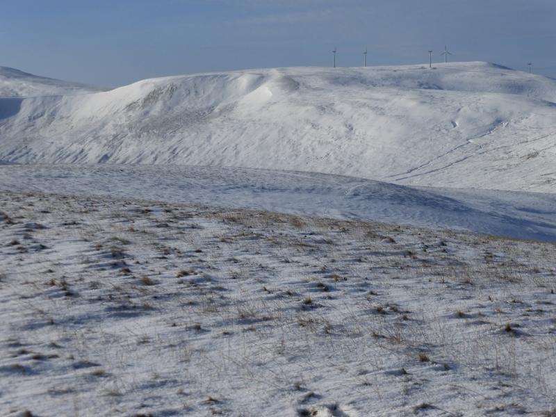
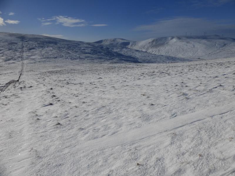
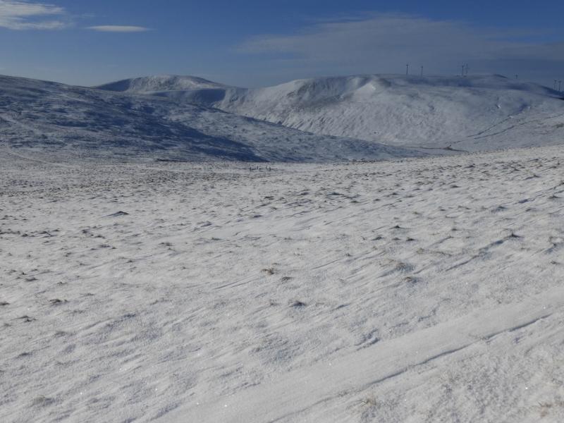
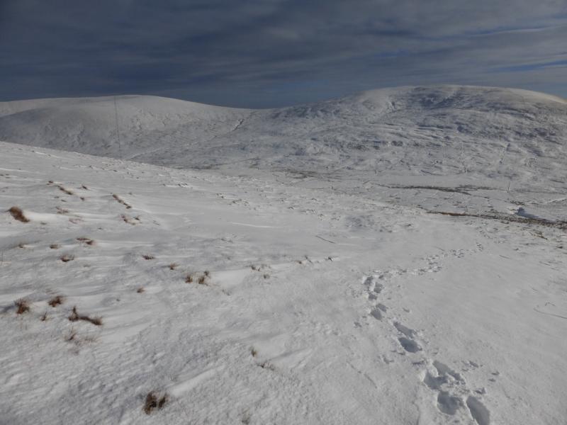
This is a tough high moorland walk – even tougher under snow. It is best saved for a clear day although fences and tracks guide much of the way. There are good views especially towards Blackcraig Hill, Blacklorg Hill, Moorbrock Hill, Beninner and Cairnsmore of Carsphairn. In winter conditions, snow shoes are probably a good idea and, at least instep crampons for any icy stretches.
Route
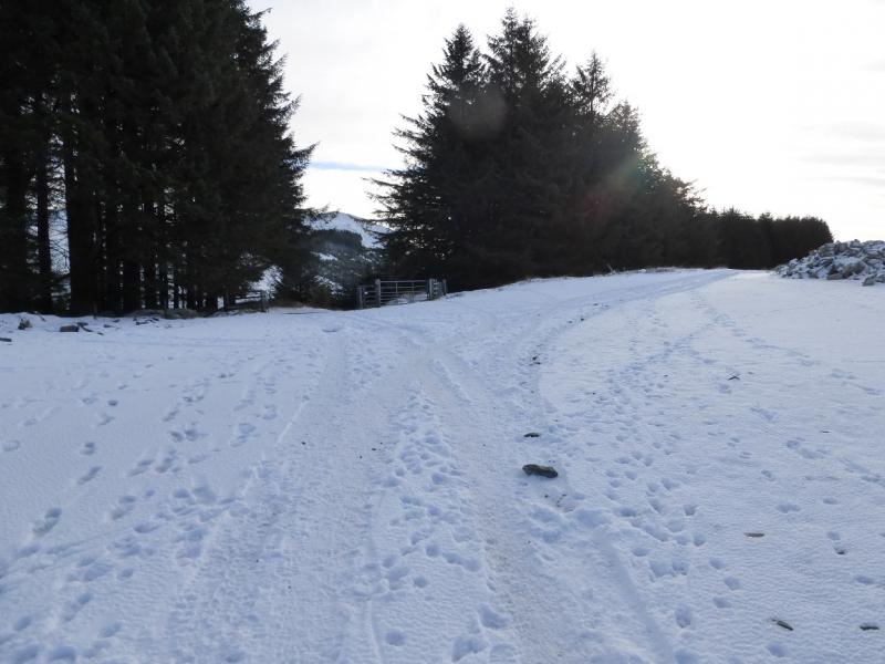
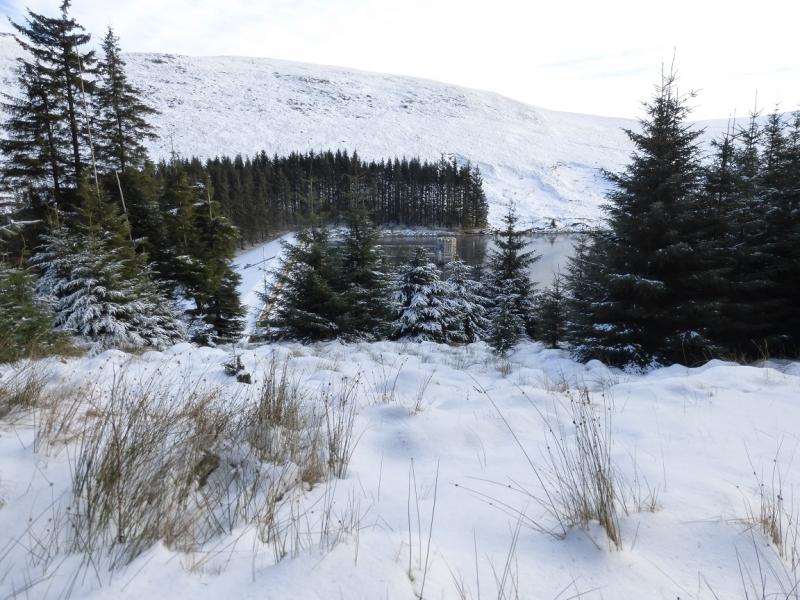
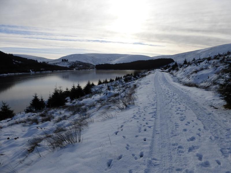
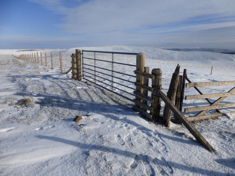
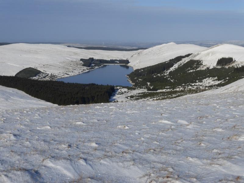
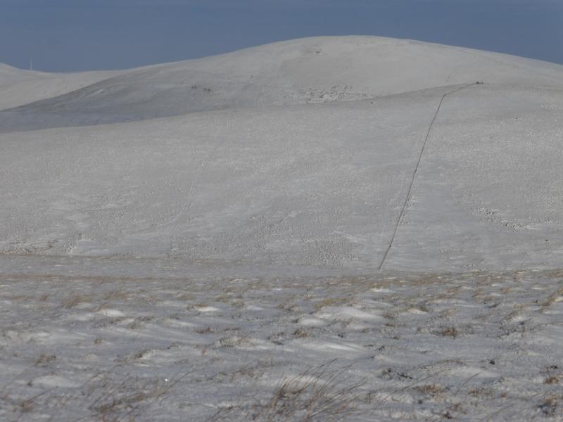
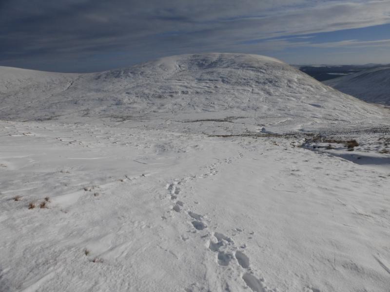
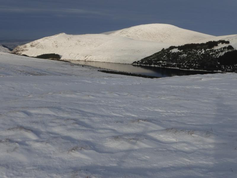
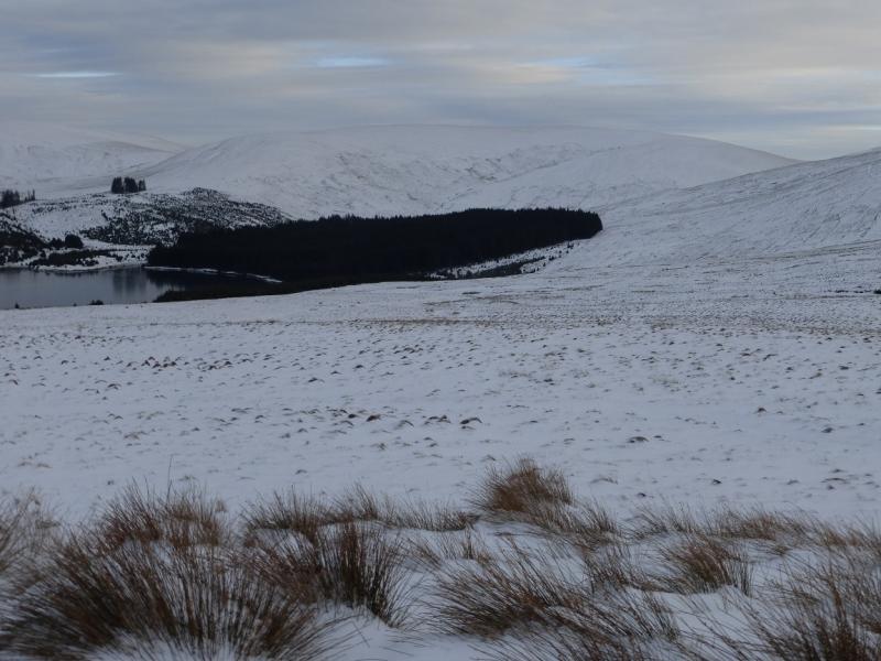
(1) Walk up the access track and follow it for about 2.5 km where it splits. Take the left fork which descends gently into the forest. (The right fork is used on the return from Windy Standard). Follow the track through the forest along the full length of Afton Reservoir. The track emerges from the forest and crosses a bridge over Afton Water. Follow another track up the side of Afton Water until well clear of the forestry. Alwhat lies directly ahead and there seem to be various paths and tracks going up its sides. It is relatively easy to ascend almost Due S, up Lagower Hill, then curve around SE becoming E to reach a fence on the crest where a large metal gate appears to mark the summit of Alwhat, 628 m.
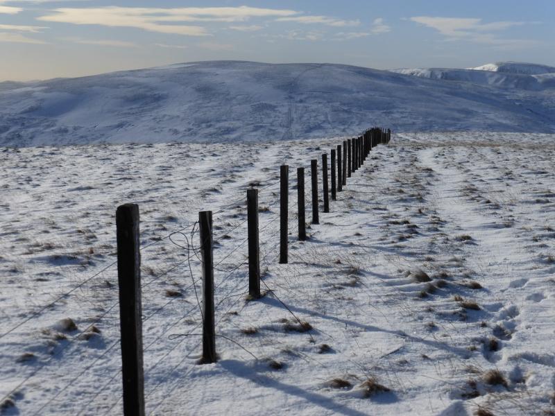
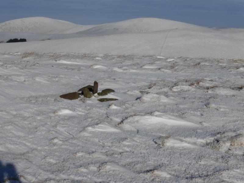
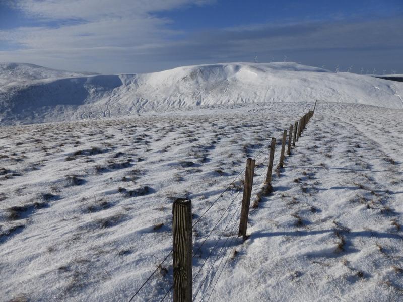
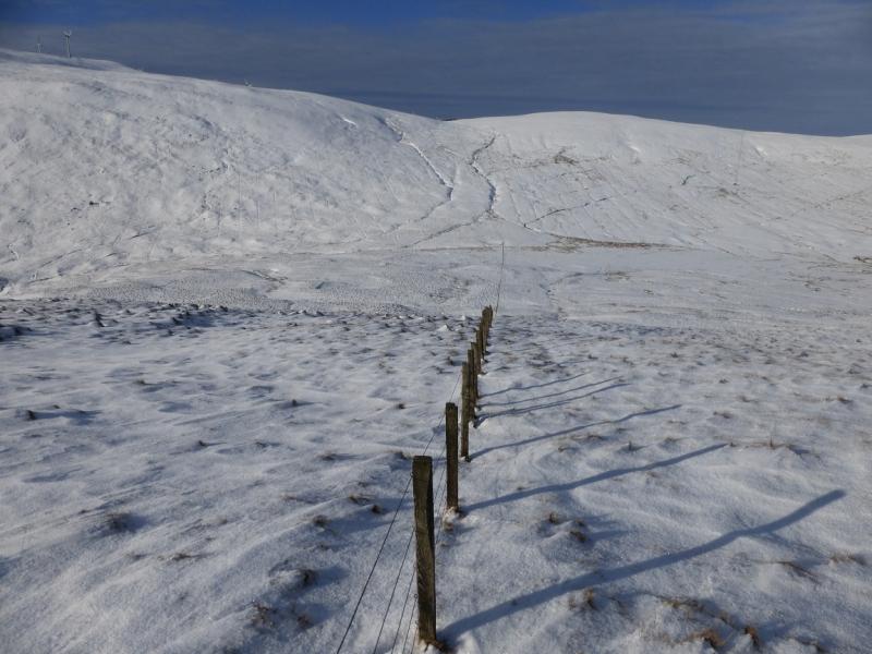
(2) Follow the fence SSW along the crest, descending to a broad col. Continue up the other side, still following the fence which passes to the N of the highest point so cross the fence and walk roughly E to reach a very small pile of stones which seems to mark the summit of Alhang, 642 m.
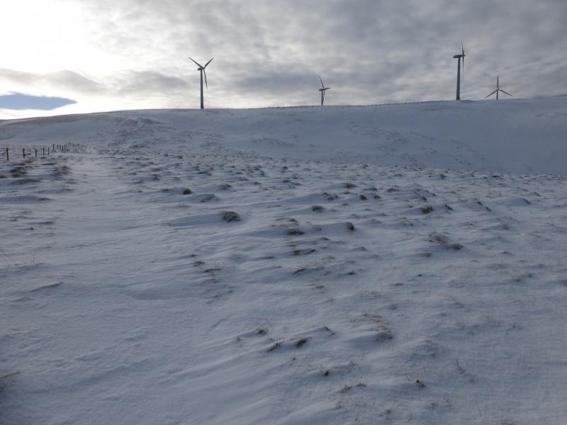
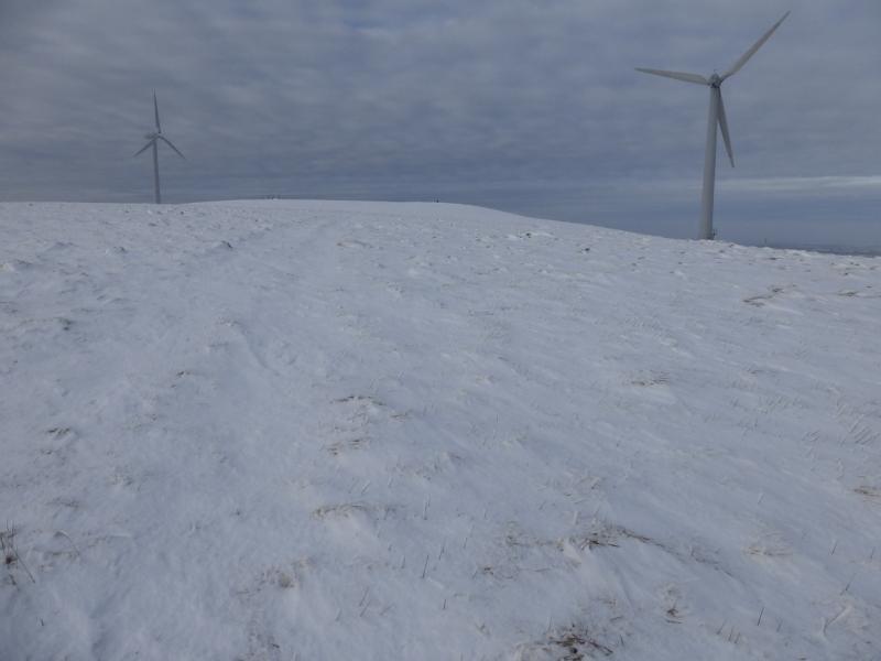
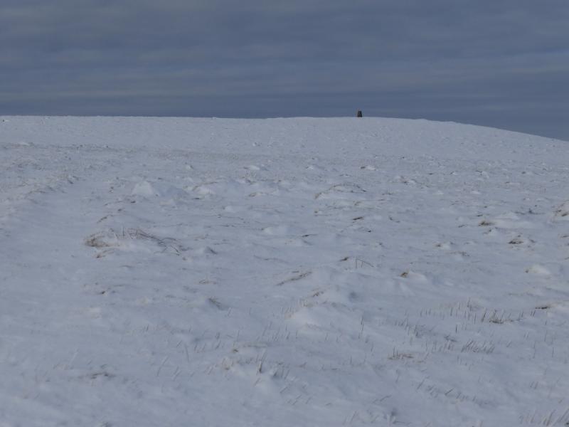
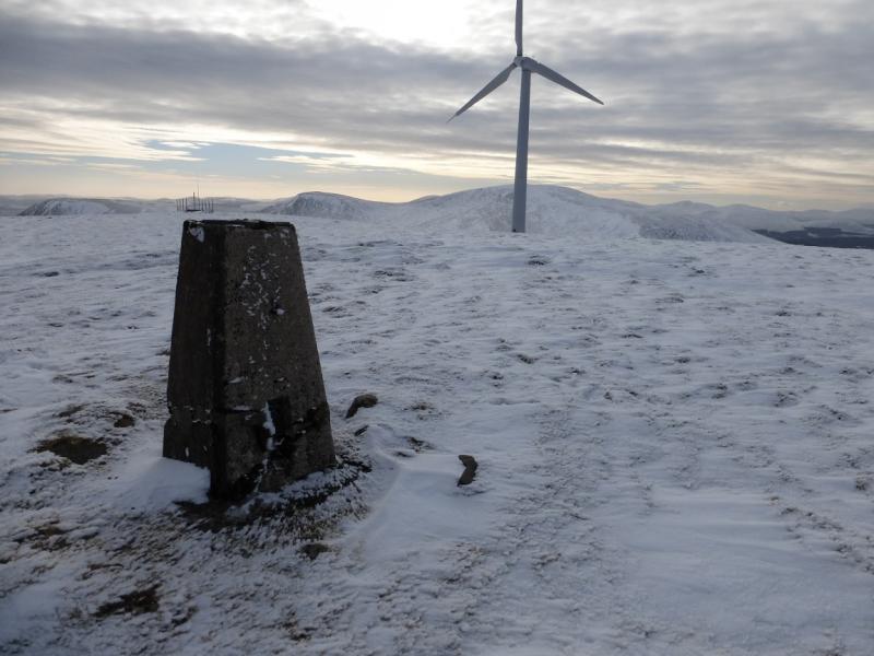
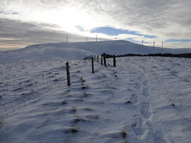
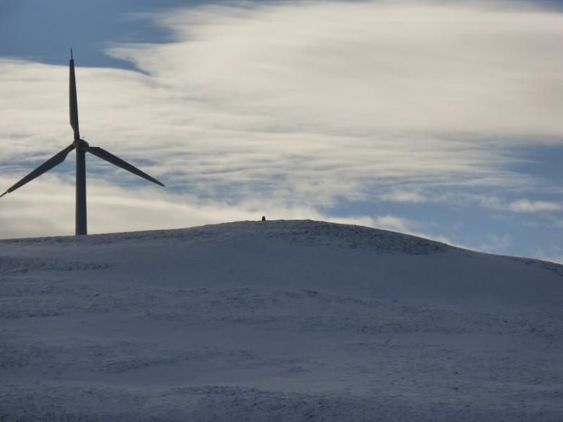
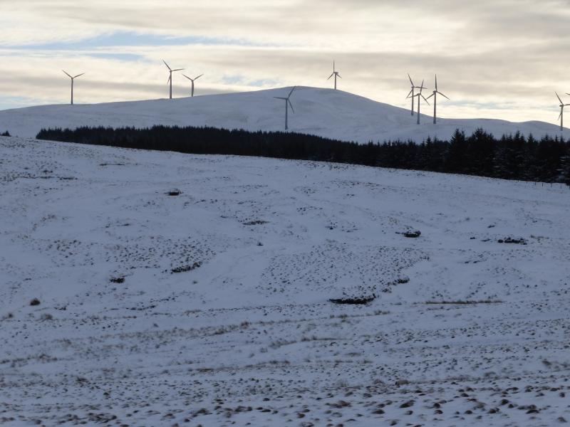
(3) Return to the fence which soon changes direction to NE then descends gentle slopes into a broad col. Continue up to reach the col between Windy Standard and Millaneoch Hill to meet another fence which can be followed SSW up on to the Windy Standard plateau at its SE end. Walk NW, through the wind turbines, for about 500 m, to reach the trig point which marks the summit of Windy Standard, 698 m.
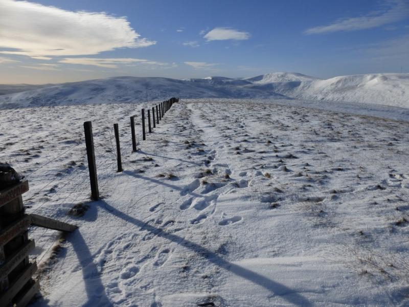
(4) Retrace to the col below Milleanoch Hill then walk NE along the fence keeping it on your right. There is a hint of a track by the fence. Go over Milleanoch Hill, Wedder Hill and Lamb Hill then continue along the fence to meet the main forestry track, by some telegraph poles, just before Black Hill. Turn right and follow the main track ENE downhill. The track curves round and meets the outward track at fork by the forest above the reservoir. Follow the outward track back to the start.
Notes
(a) This walk took place on 4th February, 2015.
Photos - Hover over photo for caption. Click on to enlarge. Click on again to reduce.