Get Lost Mountaineering
You are here: England » Peak District » West of Hayfield to Buxton Road
Taxal Edge, Cats Tor, Shining Tor, Shooter's Clough, Errwood Hall, Errwood & Fernilee Reservoirs
Taxal Edge, Cats Tor, Shining Tor, Shooter's Clough, Errwood Hall, Errwood & Fernilee Reservoirs from Taxal Church
Start/Finish
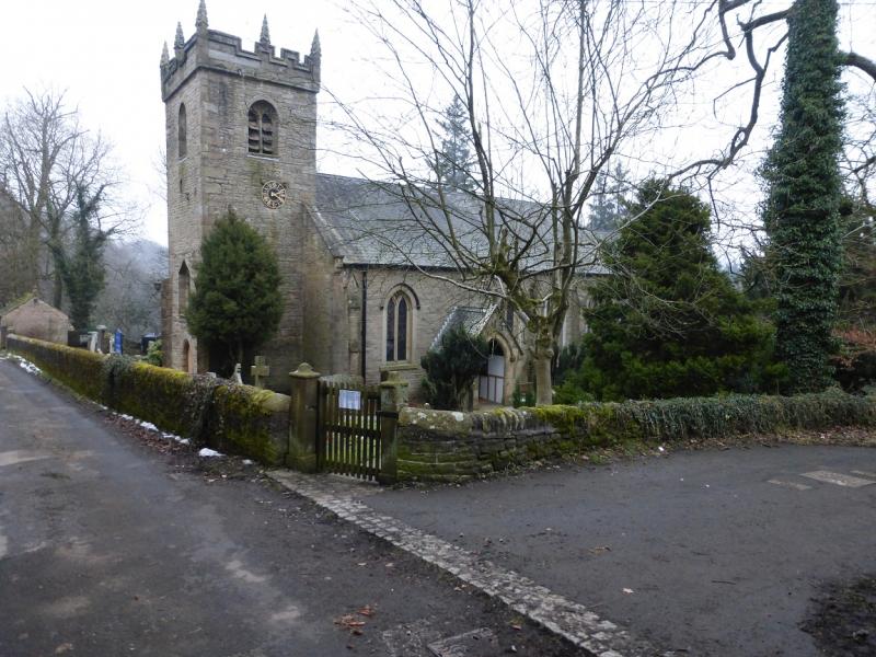
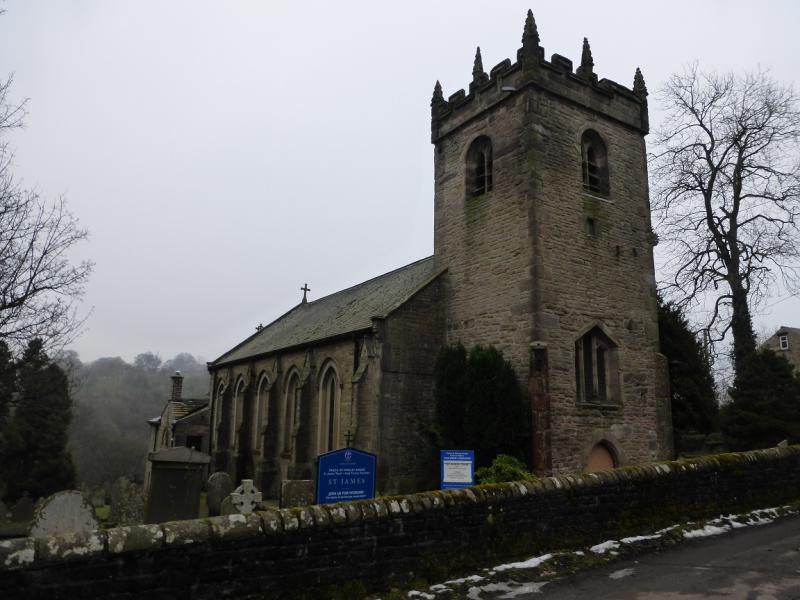
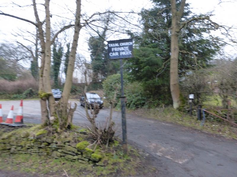
Taxal Church car park which is opposite the church at SK 006 797. This is almost at the top of the maps West sheet. Whilst the whole of the route is on map OL 24, the approach to the start is not. From the major crossroads at Horwich End, just to the south of Whaley Bridge where the A6 and A5002 meet, take the A5002 for Macclesfield. Go up the hill but before the top, turn left into Linglongs Road which is signed for Taxal. Follow this straight, ignoring where it seems to bend round to the right, and soon reach the church where there is a car park opposite. Parking is only allowed when the church is not being used so that rules out Sundays! A contribution is requested for parking. If parking here is not possible then the nearest place is across the River Goyt, on the A5002, about half a mile south of the crossroads from where it looks like paths and tracks lead, across the river, to the church, about 350 m away. This alternative start has not been checked out!
Distance/Time
17 km About 5 – 6 hours
Peaks
Cats Tor, c 530 m, SJ 995 758.
Shining Tor, 559 m, SJ 995 737. OS Outdoor Leisure 24: White Peak.
Introduction
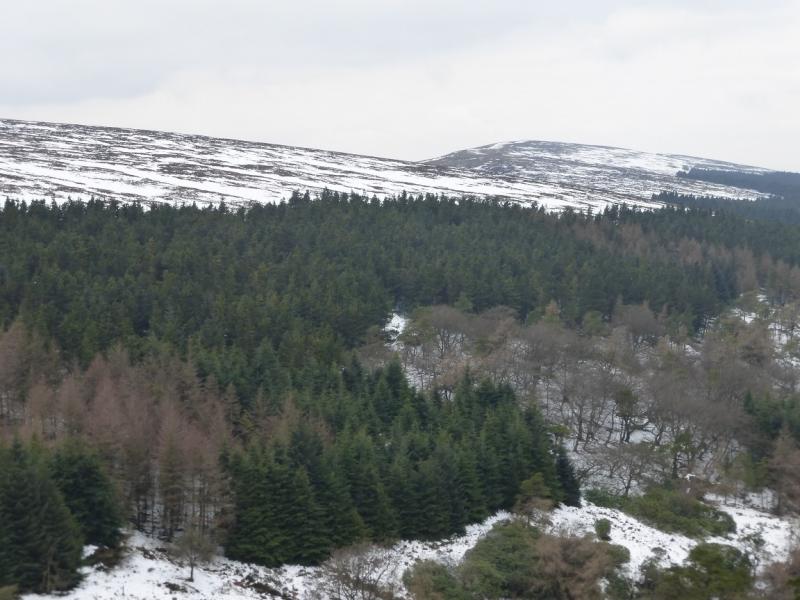
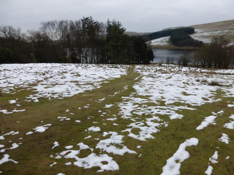
This is an easy and pleasant walk with excellent views on a clear day which include Shutlingsloe (nicknamed the “Cheshire Matterhorn”). On a misty day, navigation is not too taxing as there are good paths to follow. The paths can be boggy so this route can be more attractive when the ground is frozen. Snow is not uncommon in winter in these parts. This walk was undertaken in thick mist then repeated two days later in clearer conditions. Photos from both days are included to show the difference. There is a very similar walk uploaded which varies the route back from Shining Tor.
Route
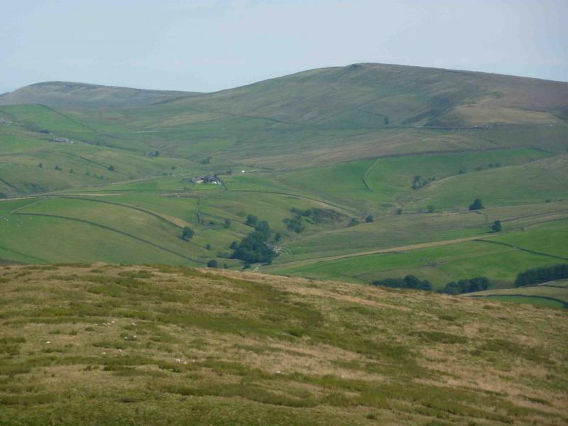
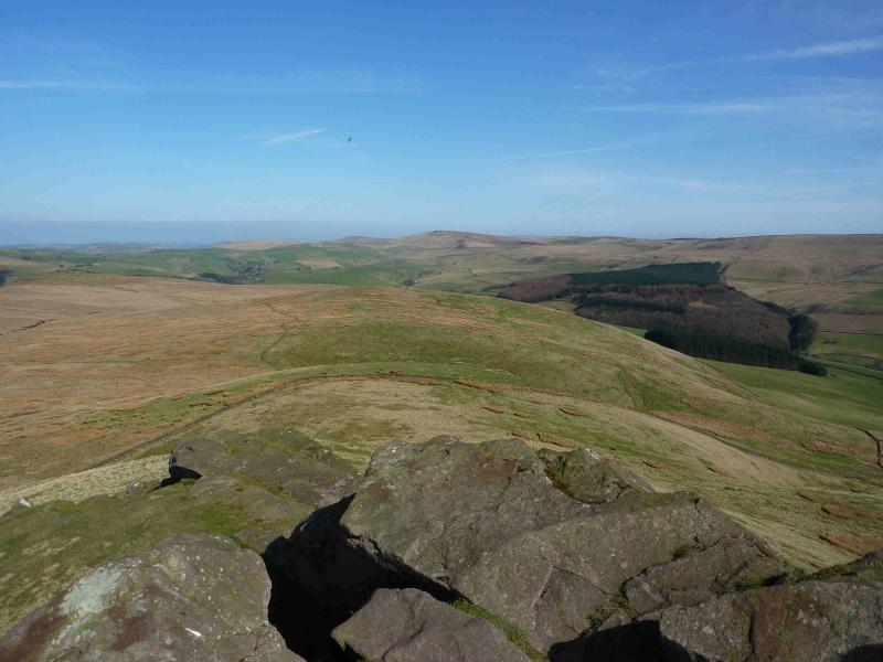
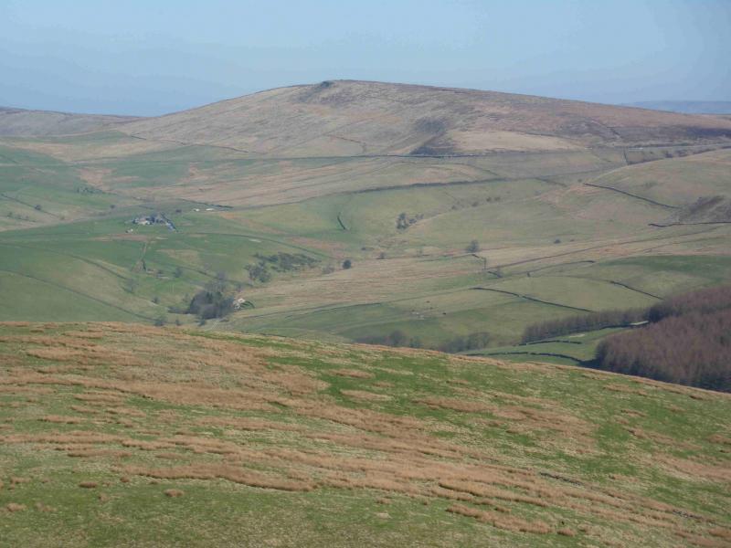
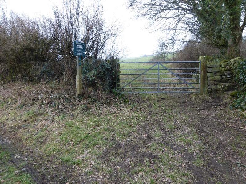
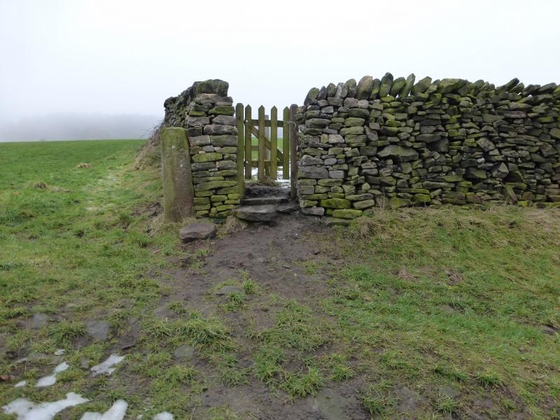
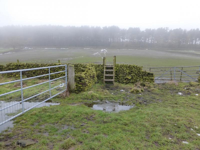
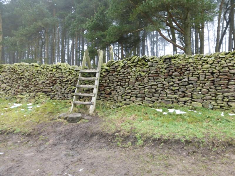
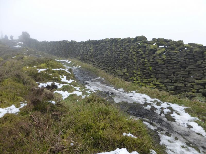
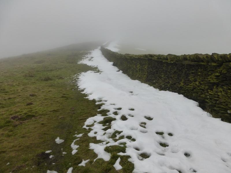
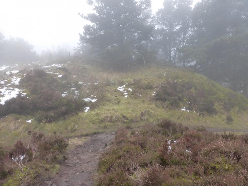
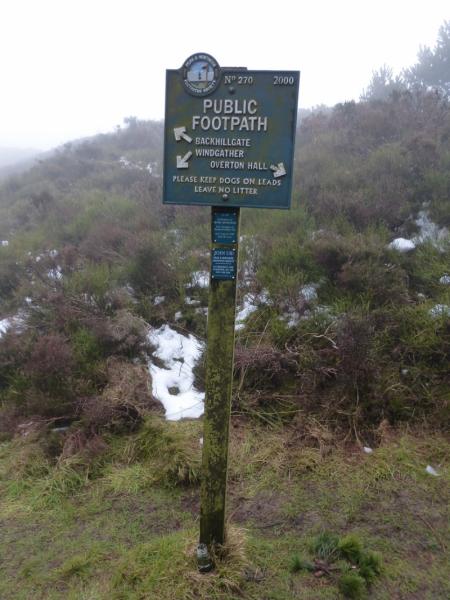
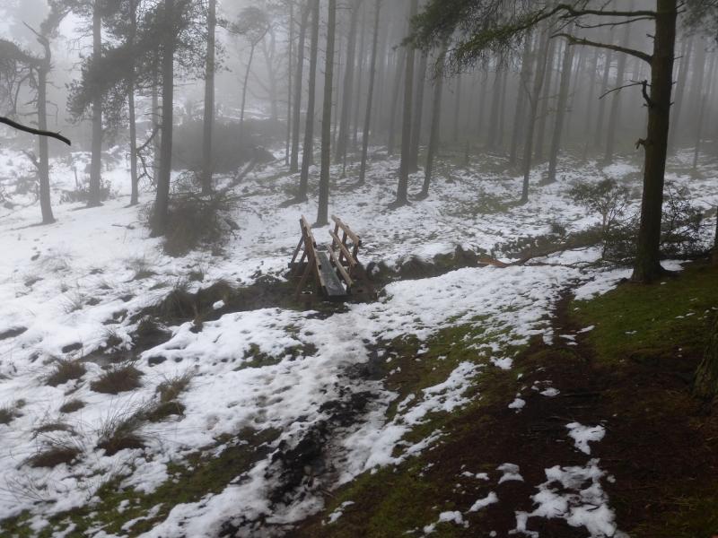
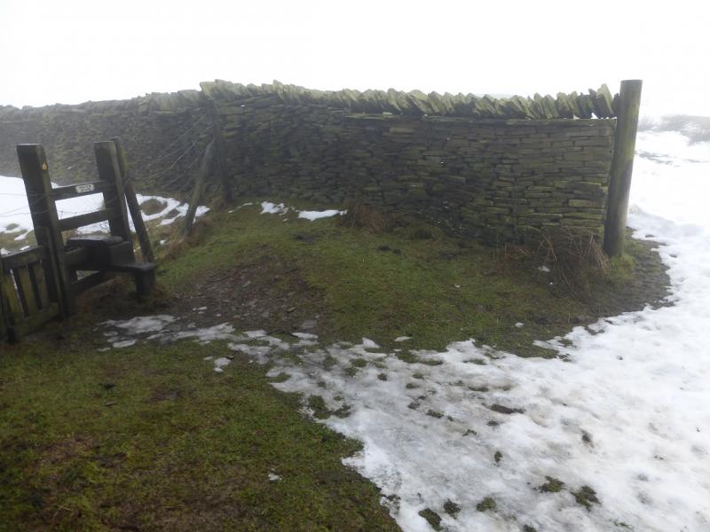
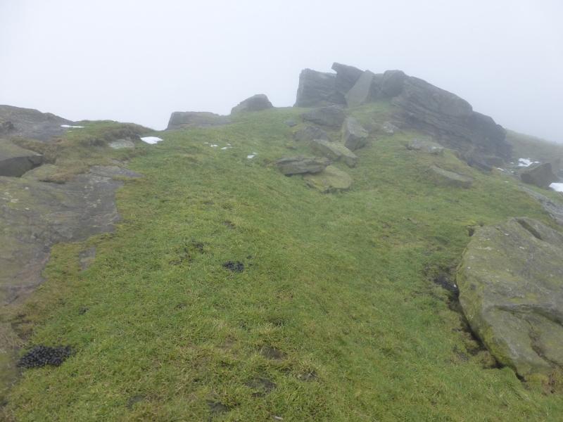
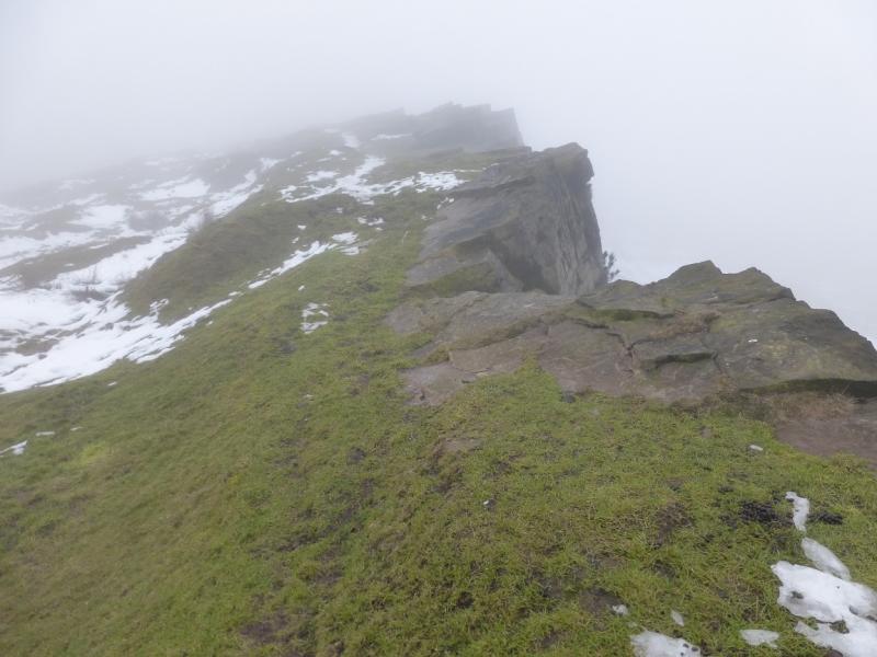
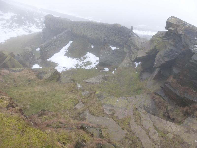
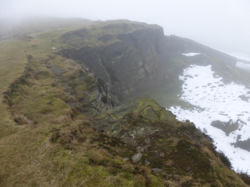
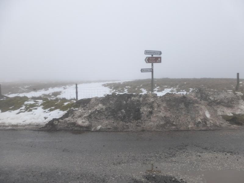
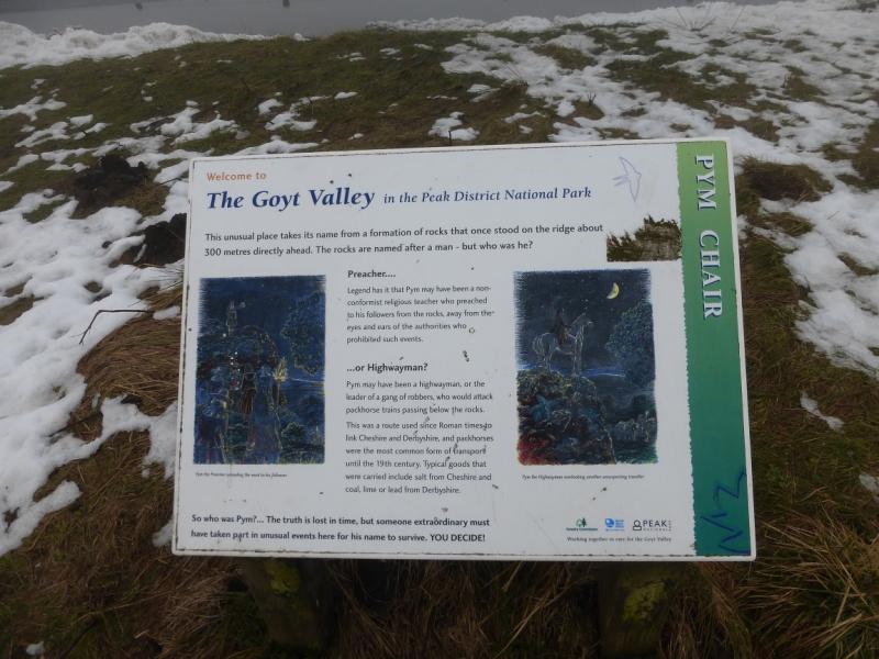
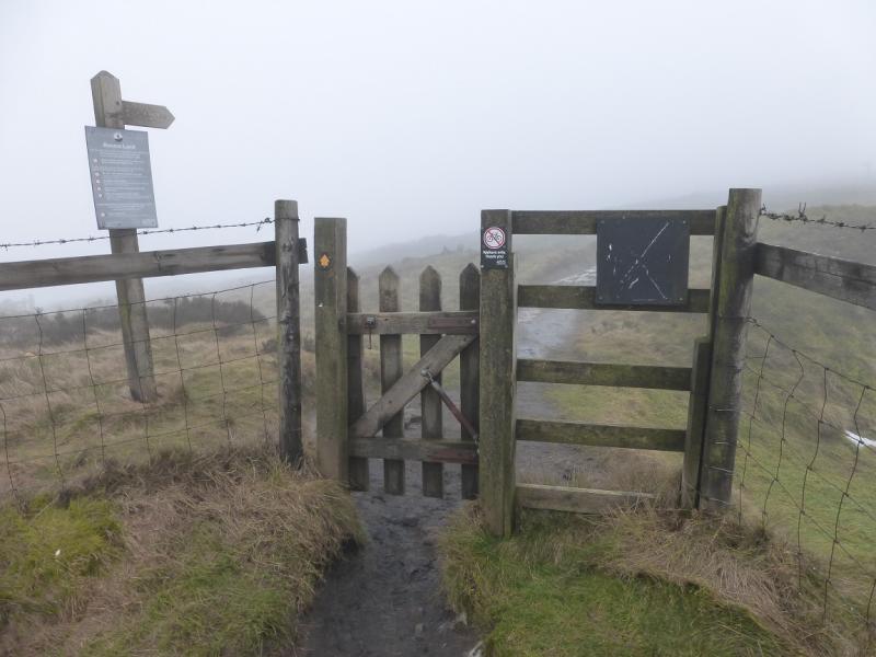
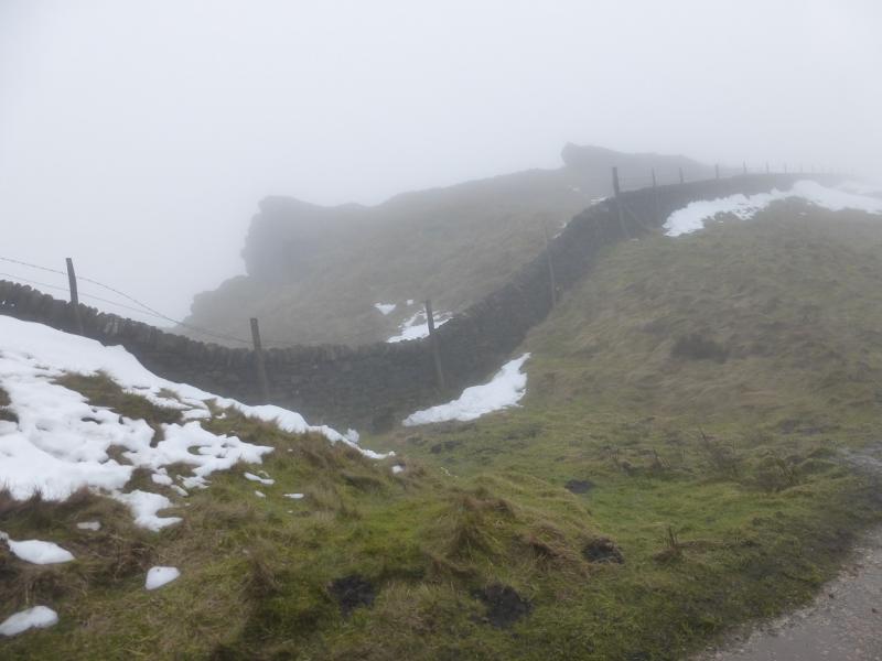
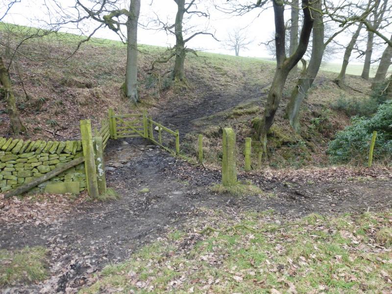
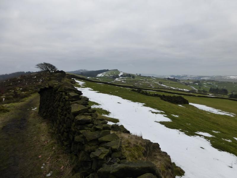
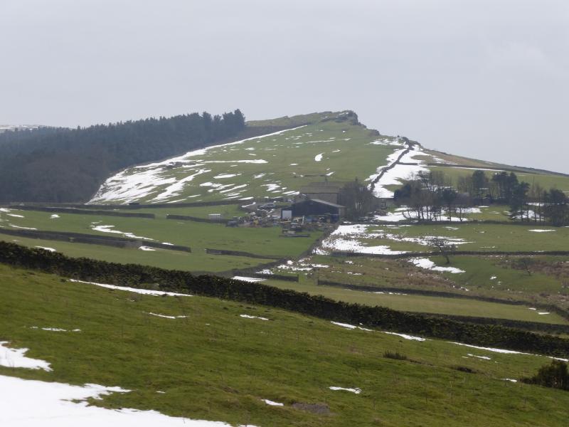
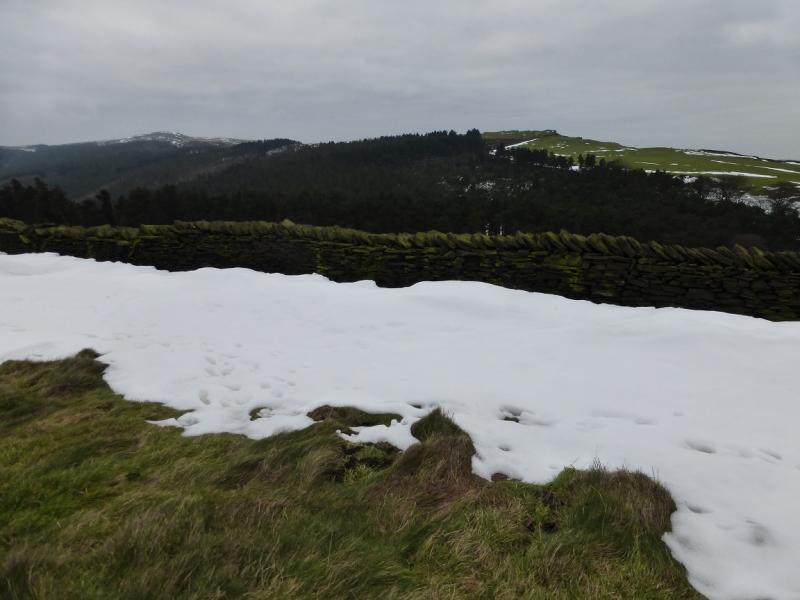
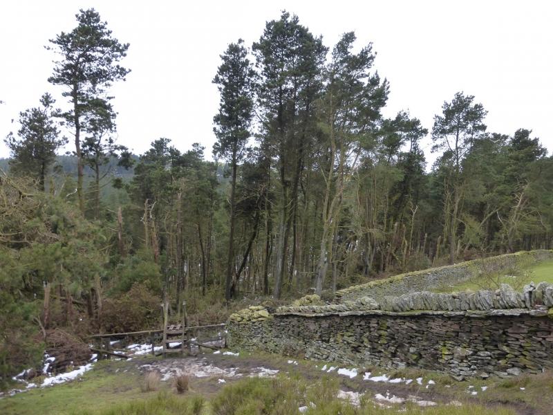
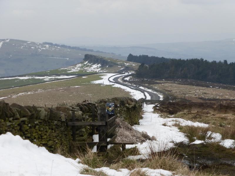
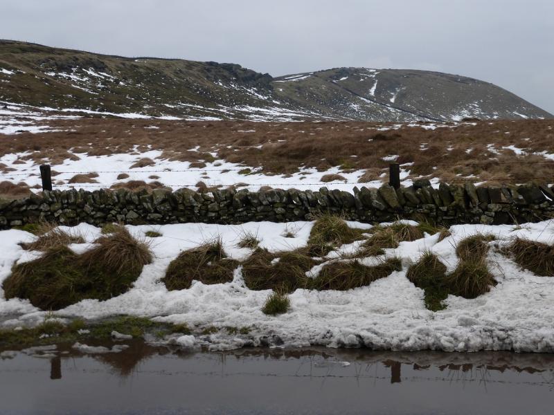
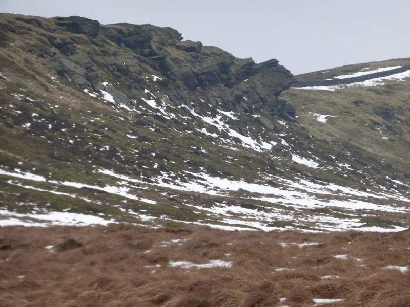
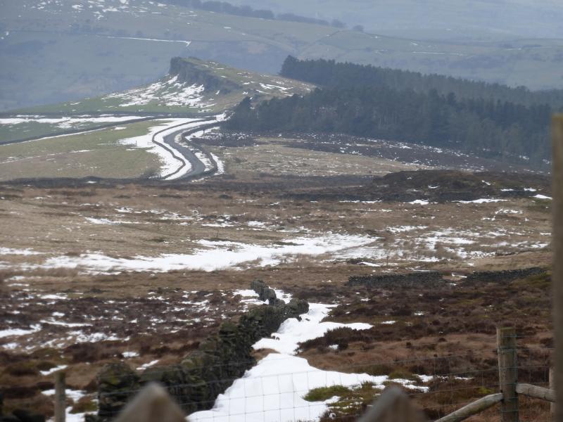
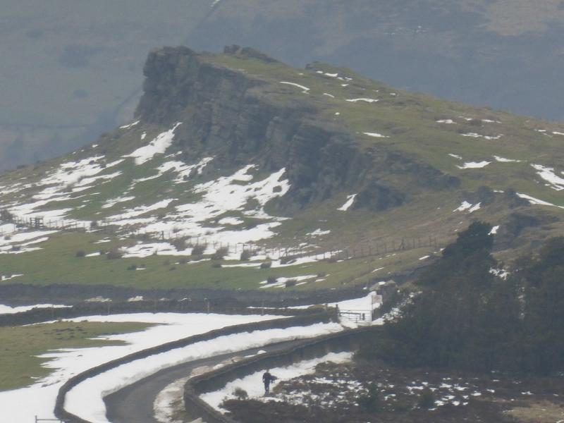
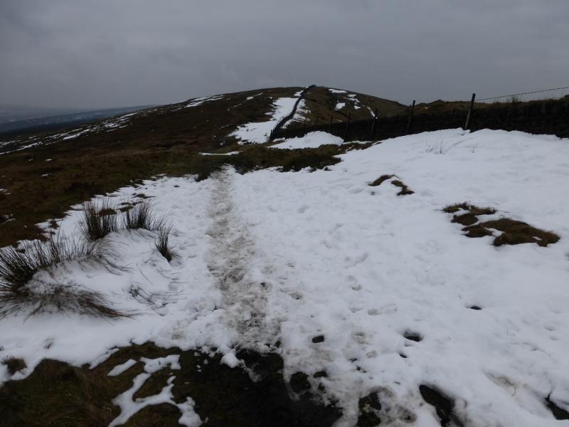
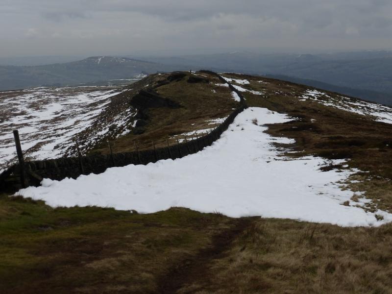
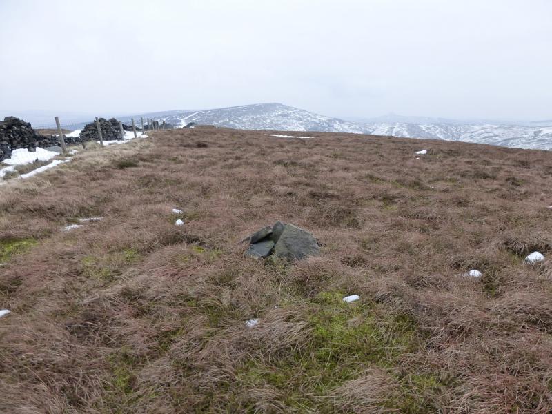
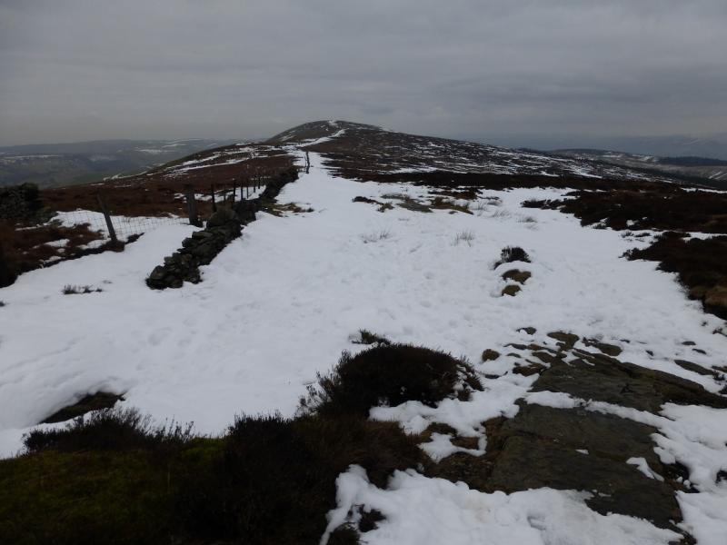
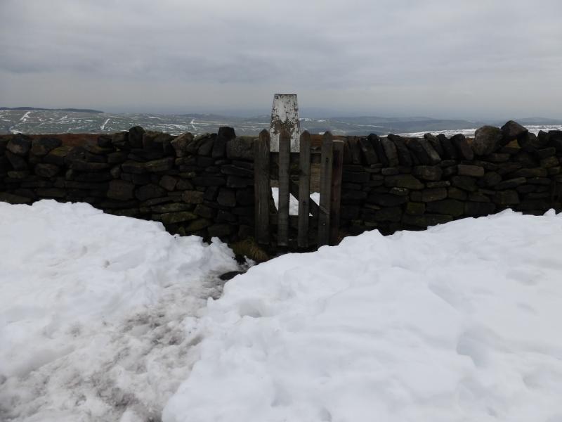
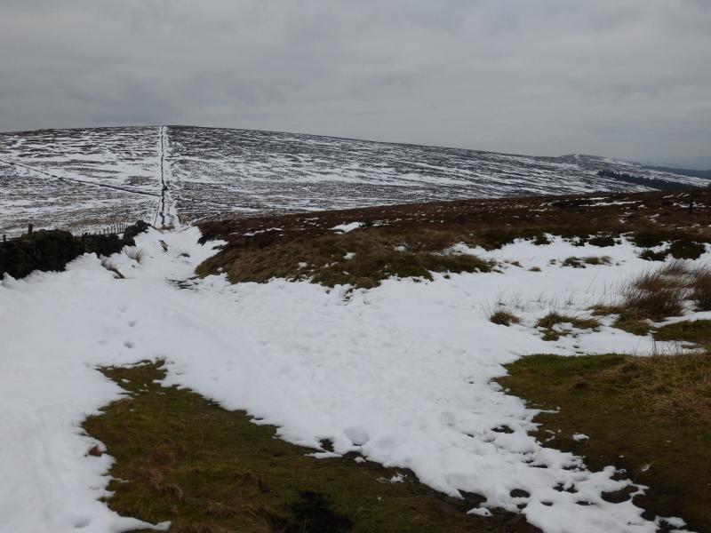
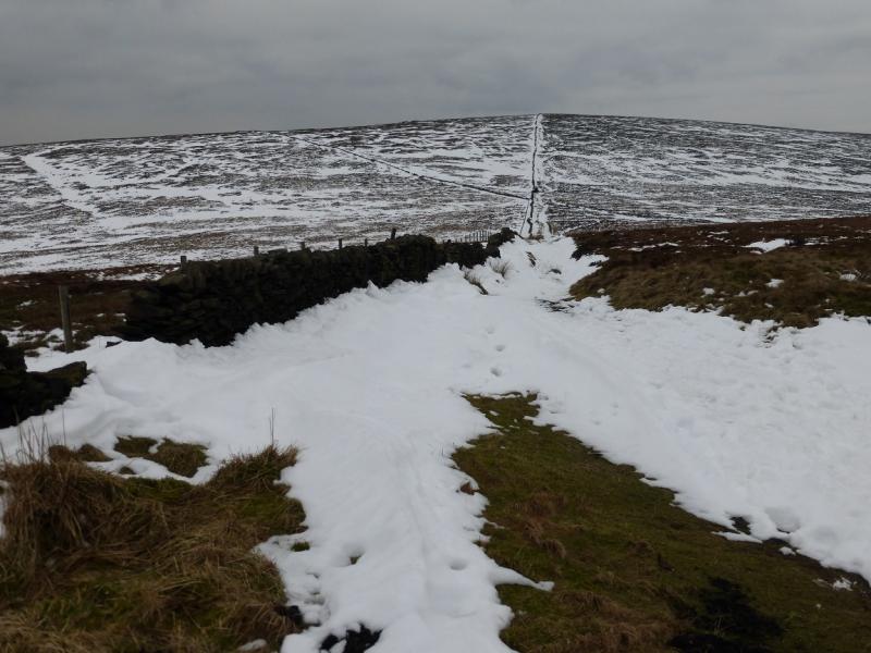
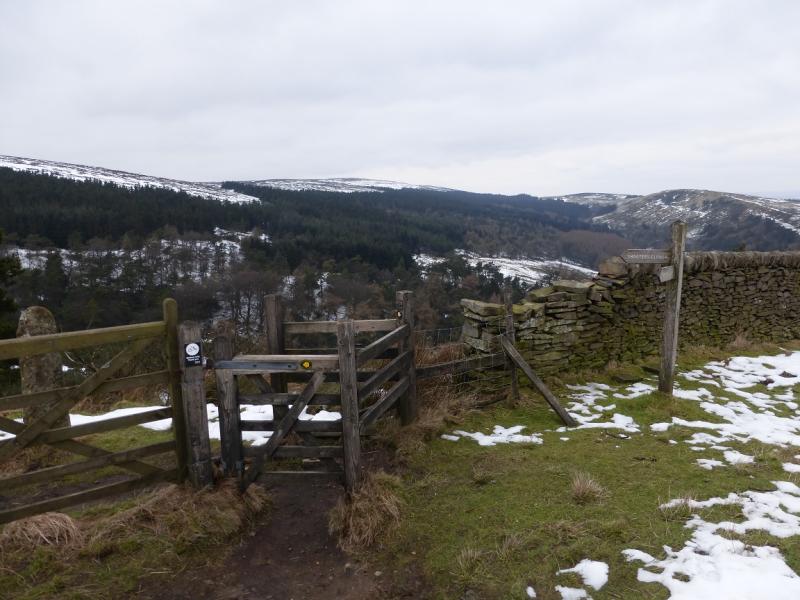
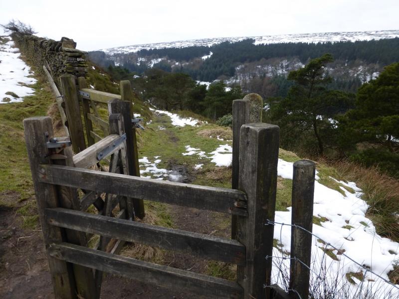
(1) From the church car park, continue up the road. Go past the rectory, on the right, to reach a footpath sign. Follow the path, through 4 fields, boggy in places, to reach Taxal Moor Road at a stile. Cross the road and go straight up the path, through a thin wood, opposite the stile to reach a wall. Follow a path, not shown on the map, on the E side of the wall which leads along a ridge to reach another path on the edge of a wood at SJ 999 787. Go right here and descend slightly to reach a sign post which points the way to Windgather Rocks, a path forking left down into the wood. Follow the path through the wood, crossing a small footbridge and heading almost due W. Reach the top of the wood and either follow its edge to a meeting of walls then turn right and soon reach the crest of Taxal Edge at Windgather Rocks. Better still, though, ignore the path along the top of the wood and go ahead through the gap in the wall to reach the edge then turn left and walk along the edge; this includes more of Windgather Rocks. Walk S past Windgather Rocks after which the path meets a road. There is a path on the E side behind a wall. Follow this S or, if it is boggy, just walk along the quiet road. If on the path, reach a small gate and join the road. Follow this to reach a T junction just after Pym Chair car park. Turn left, past an information sign which explains that Pym Chair was a feature (no longer exists) on an outcrop on the ridge to Cats Tor A path appears on the right of the road which soon goes through a gate, signed for Shining Tor. Take this path and follow it, by a wall, along the crest. The wall on the right is high with barbed wire on top. Further on, it becomes broken. At the highest point of the path, cross the wall and low fence to reach a tiny cairn which marks the summit of Cats Tor, c 530 m. In mist the cairn could easily be missed.
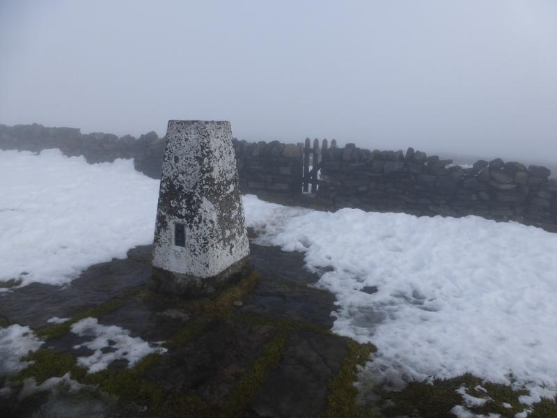
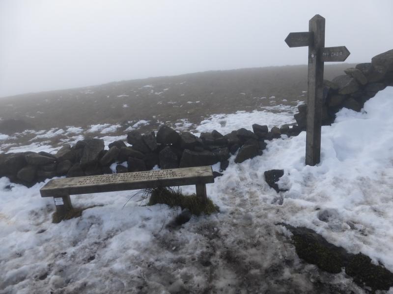
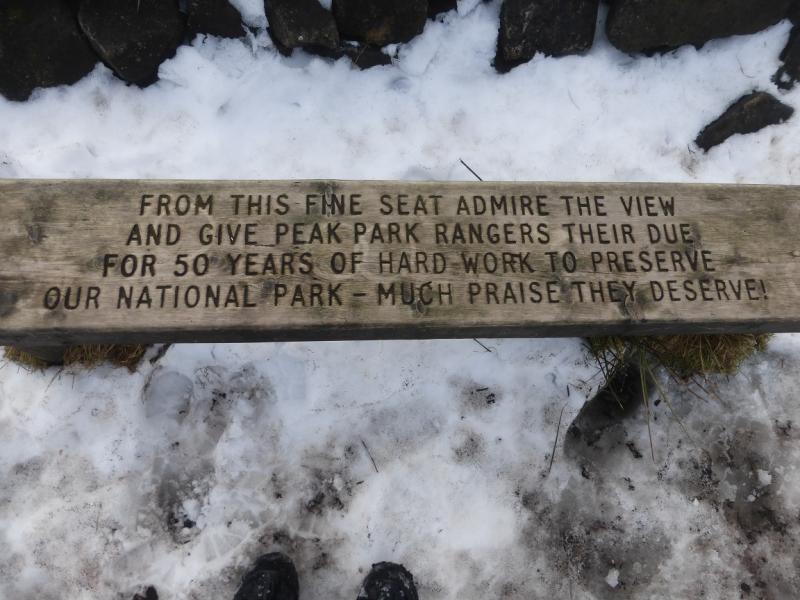
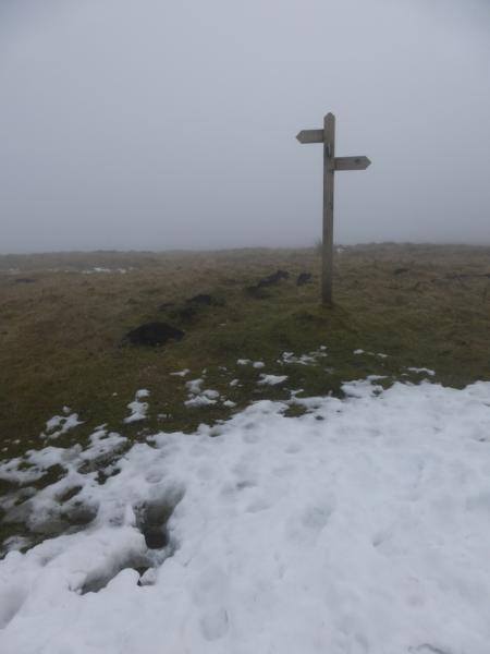
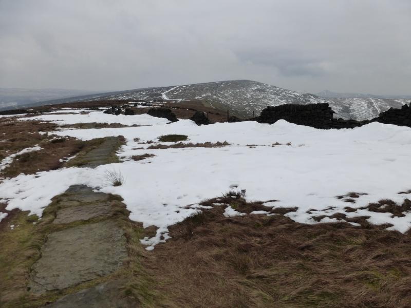
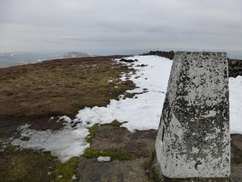
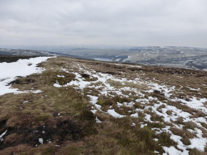
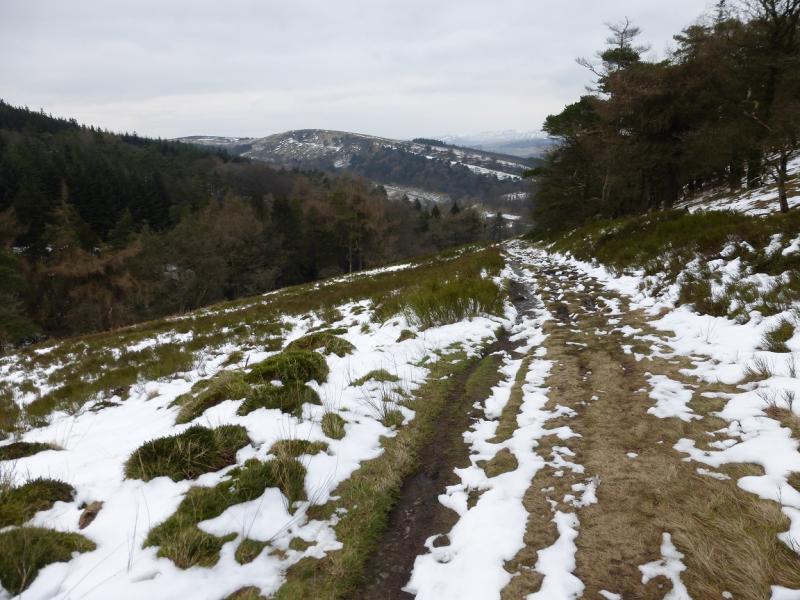
(2) Descend gently for about 1 km then ascend for about 2 km to reach the trig point, sign post and bench which mark the summit of Shining Tor, 559 m.
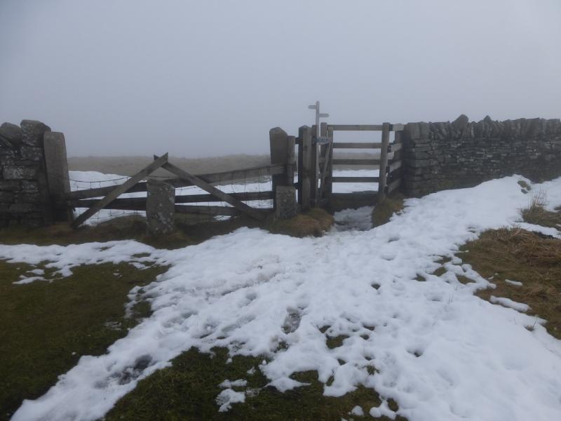
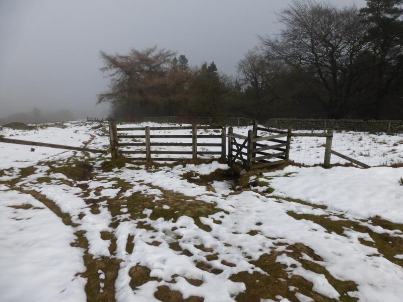
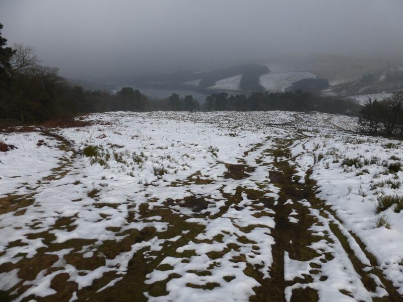
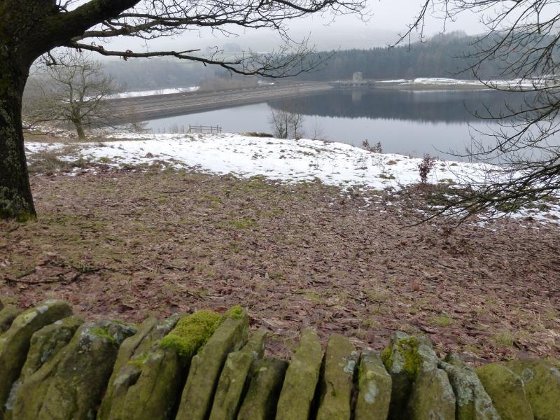
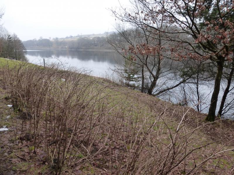
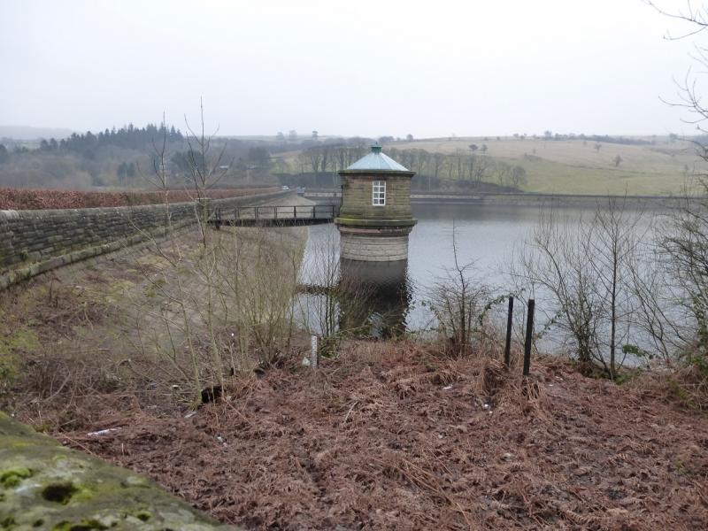
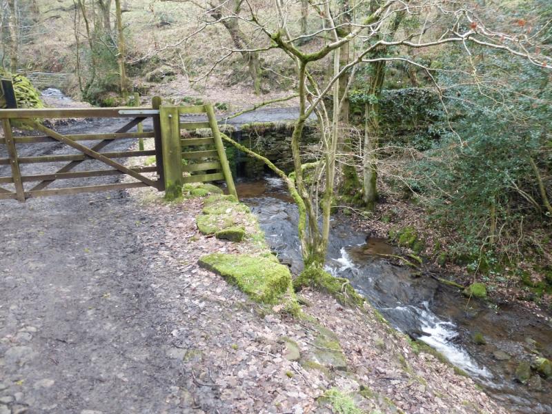
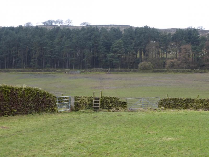
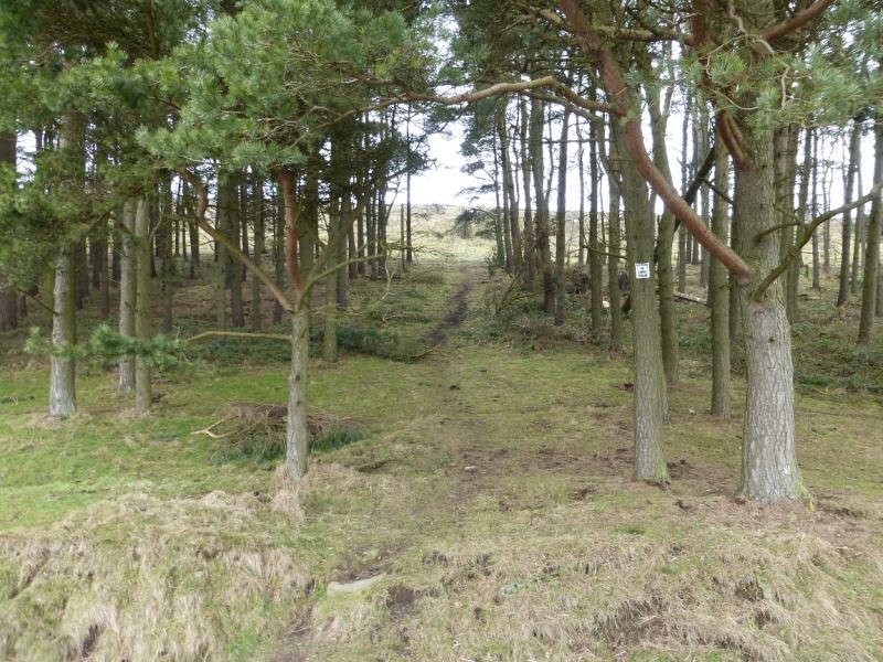
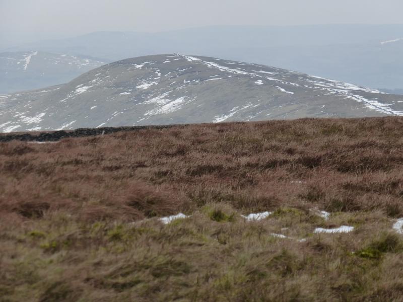
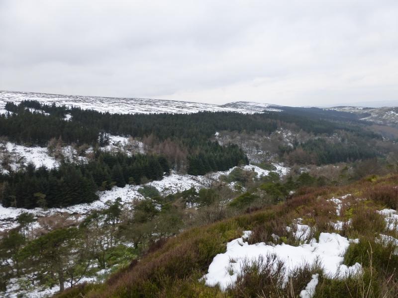
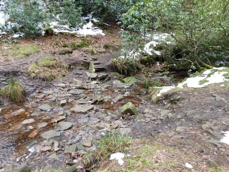
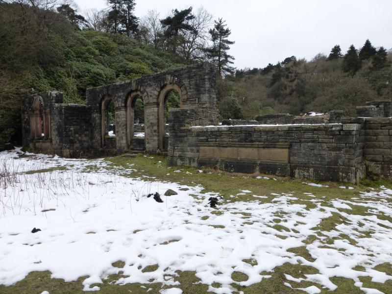
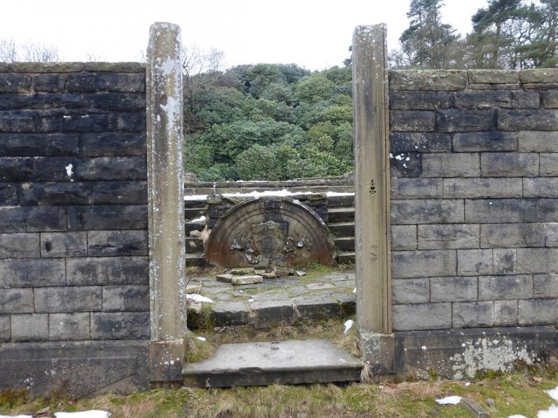
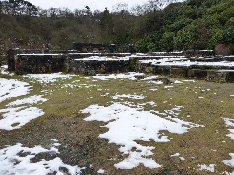
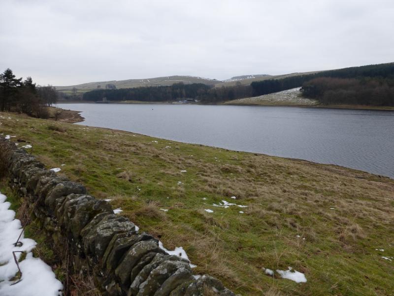
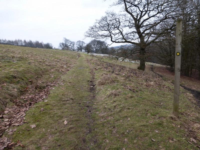
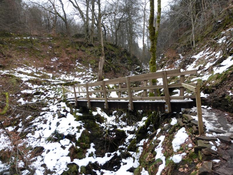
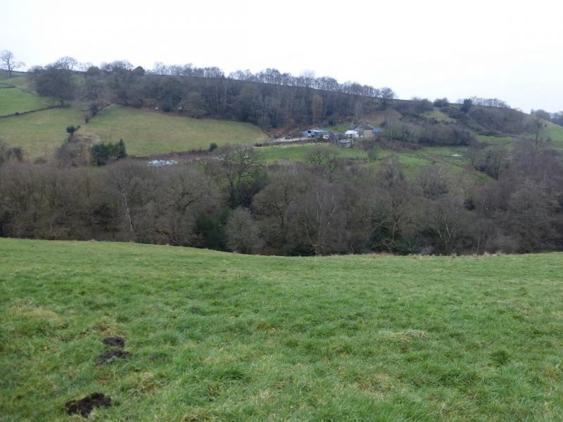
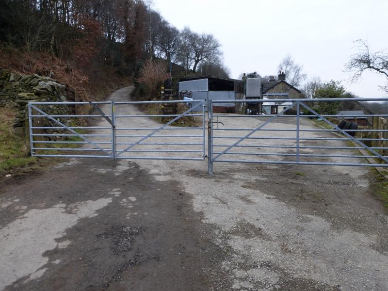
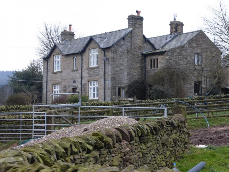
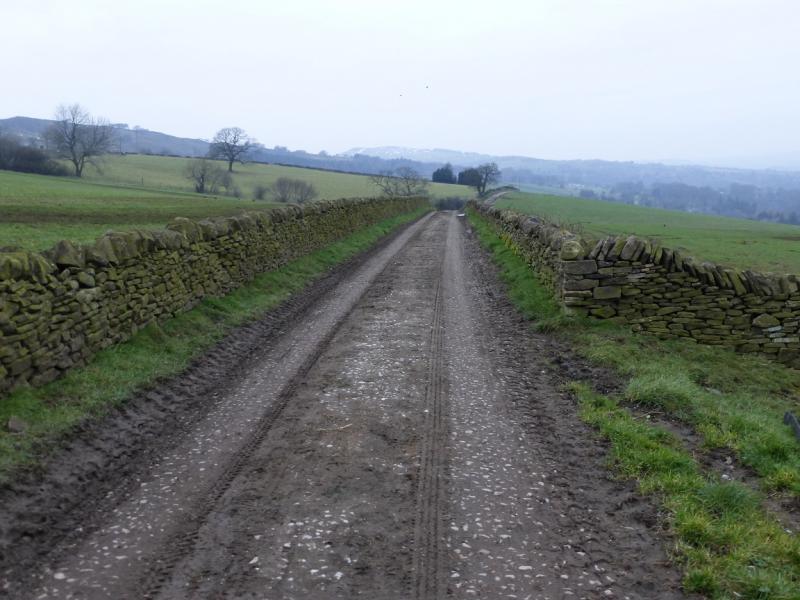
(3) Descend S, signed Stake Side, following a path by a wall. This crosses a broad col then ascends slightly to a gate in a wall and another sign post. Go left for Errwood and descend very gently by a wall. Lower down there is a sign for Shooter's Clough. Take this path which initially doubles back before descending into the pretty Shooter's Clough. Cross the stream then follow the path, signed for Errwood in places. Take a short detour when Errwood Hall is sign posted. This is an old ruin. Retrace the detour and continue down to the road by Errwood Reservoir. Walk N, along the road on the W side of the reservoir or use the path just off the road (on the left). Just before Errwood Dam take a signed path, Fernilee, which leads to a gate. Take the level path ahead which later descends to the reservoir. A little further, there is a choice of taking the Woodland Walk or the Waterside Walk. Take the Woodland Walk, muddy in places, and follow it above Fernilee Reservoir. Later the Waterside Walk climbs up to meet it. Soon after the path exits the wood on a rough track/road. Go right towards the dam. Just before Fernilee Dam, take the track going slightly W of N. Stay on this track. After about 1 km, it descends W to cross Mill Clough then climbs out almost due N. Go through a gate by a house, to reach a tarmac road, still climbing. When the road reaches a hairpin bend going left, follow the road to Overton Hall Farm, the first building. Turn right on to the track in front of the farm and follow it back to the start.
Notes
(a) This walk took place on 12th February, 2015, with a slightly shorter version on 10th February, 2015.
Photos - Hover over photo for caption. Click on to enlarge. Click on again to reduce.