Get Lost Mountaineering
You are here: England » Lincolnshire » County Walks
Rothwell to Lincolnshire Highest Point
Rothwell to Lincolnshire Highest Point
Start/Finish
Anywhere on the road out of Rothwell village leading to Thoreswayy before the first hill is reached after about 300 m. Rothwell is close to Caistor and Nettleton on the A46 Lincoln to Grimsby road.
Distance/Time
11 km About 2 – 3 hours
Peaks
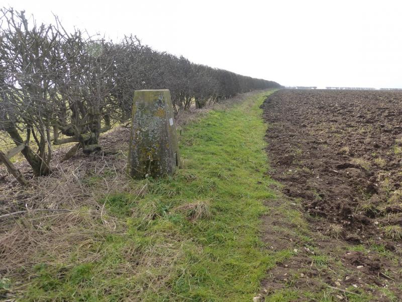
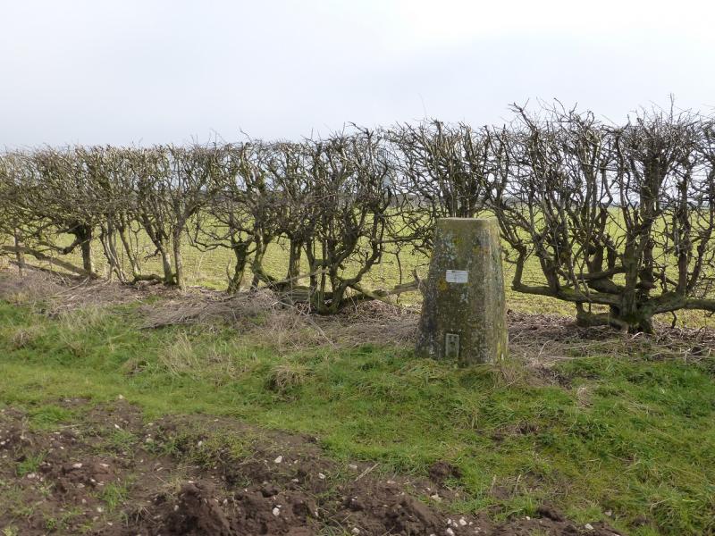
No obvious peaks as such but the trig point marking the highest point in Lincolnshire is at TF 121 965 and an altitude of 168 m.
Explorer 282: Lincolnshire Wolds North. OS 113: Grimsby.
Introduction
No one would claim that any part of Lincolnshire is mountainous but walks on its gentle rolling hills are enjoyed by many so here is one which goes to the highest point in the county.
Route
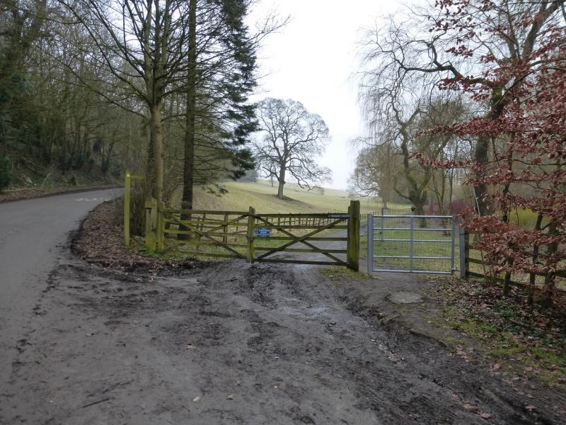
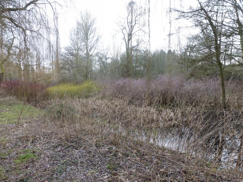
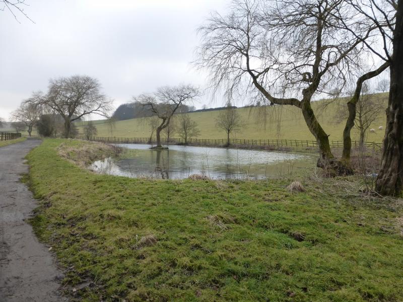
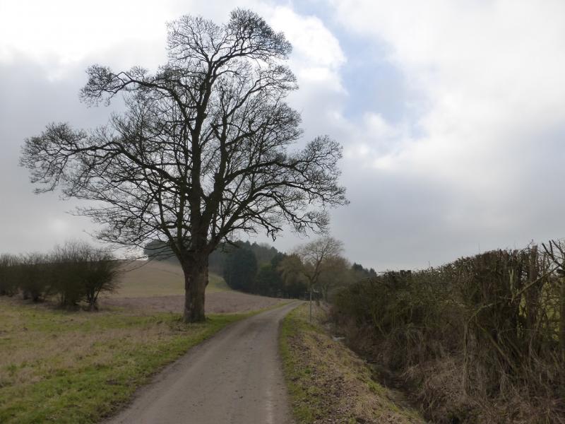
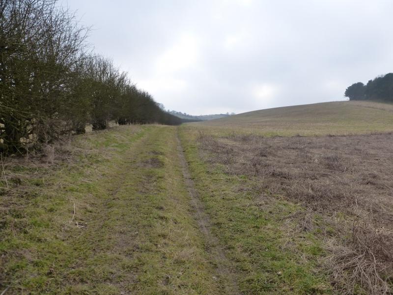
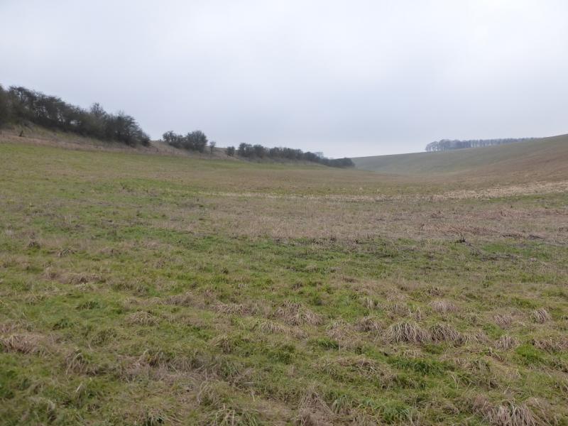
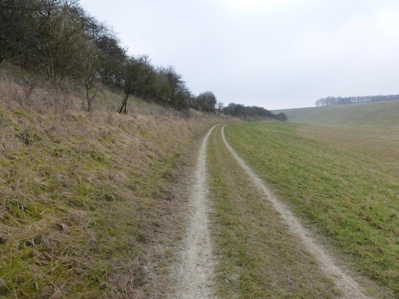
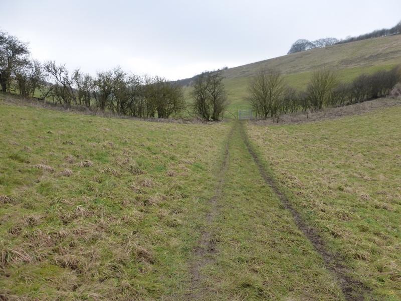
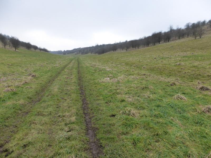
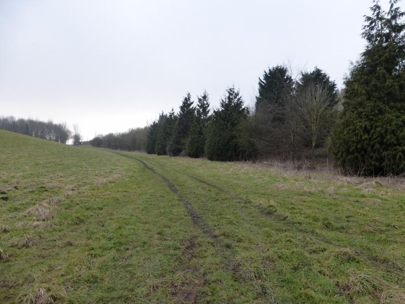
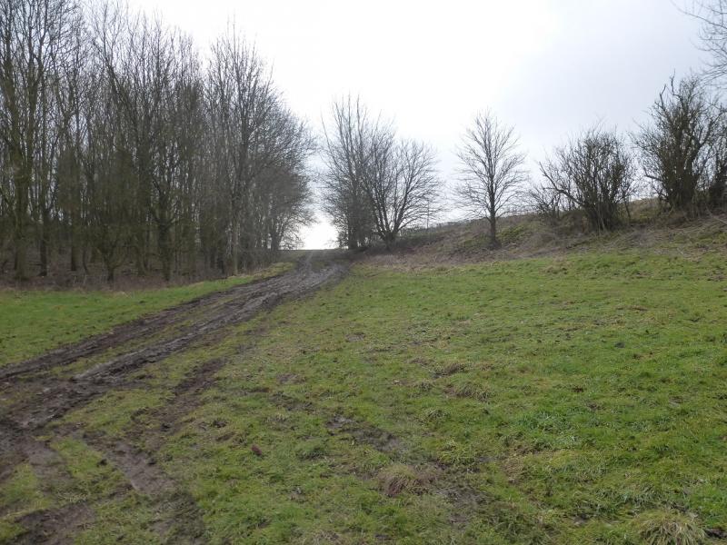
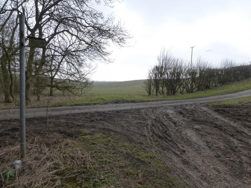
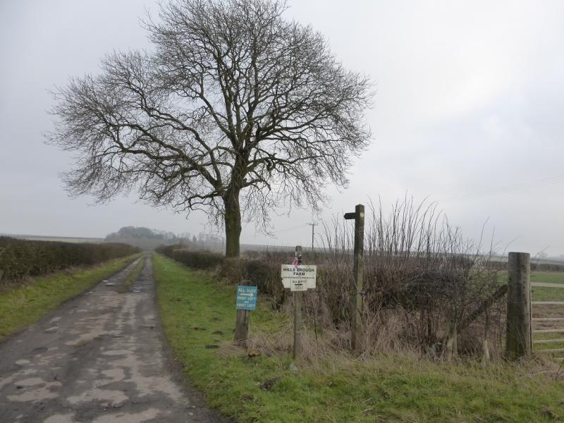
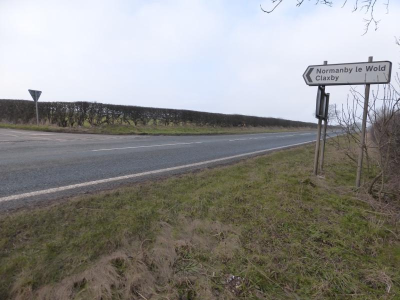
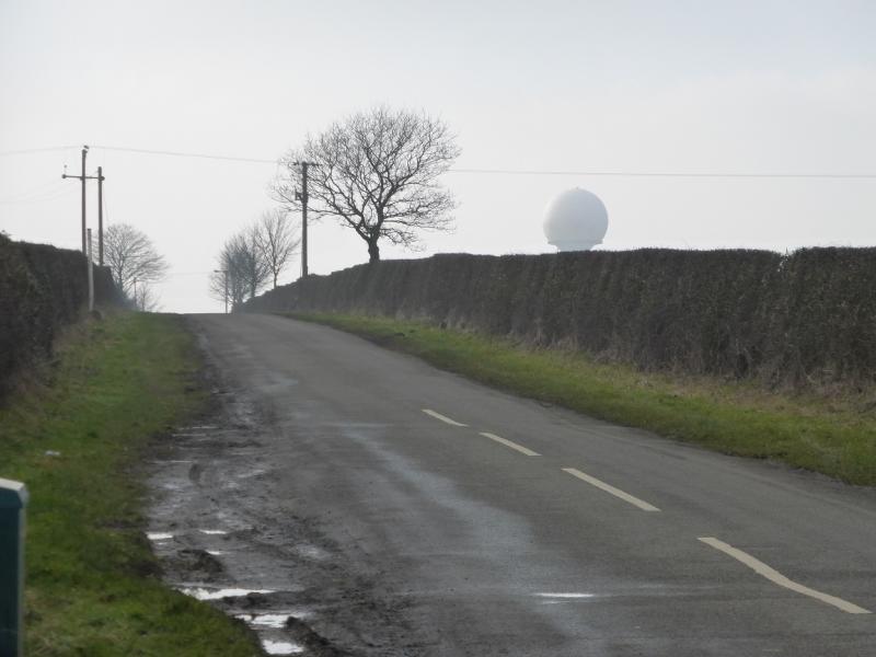
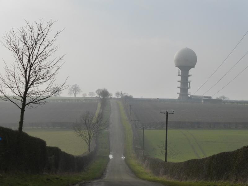
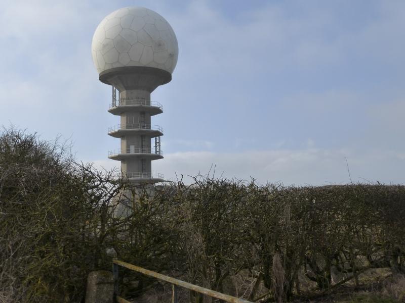
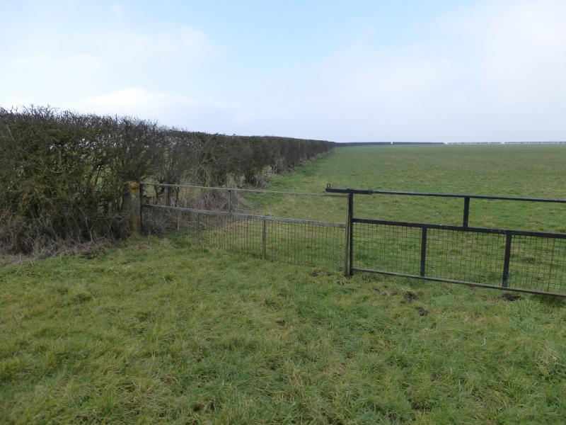
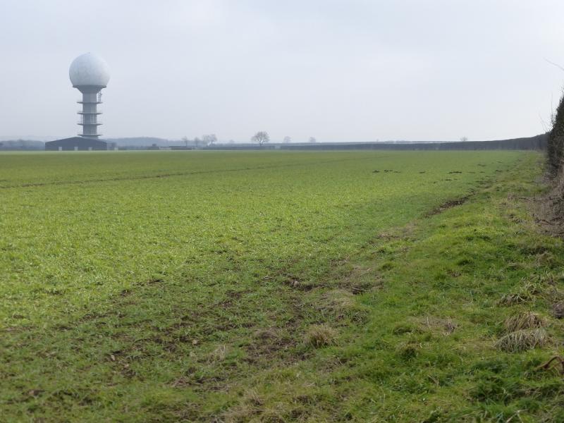
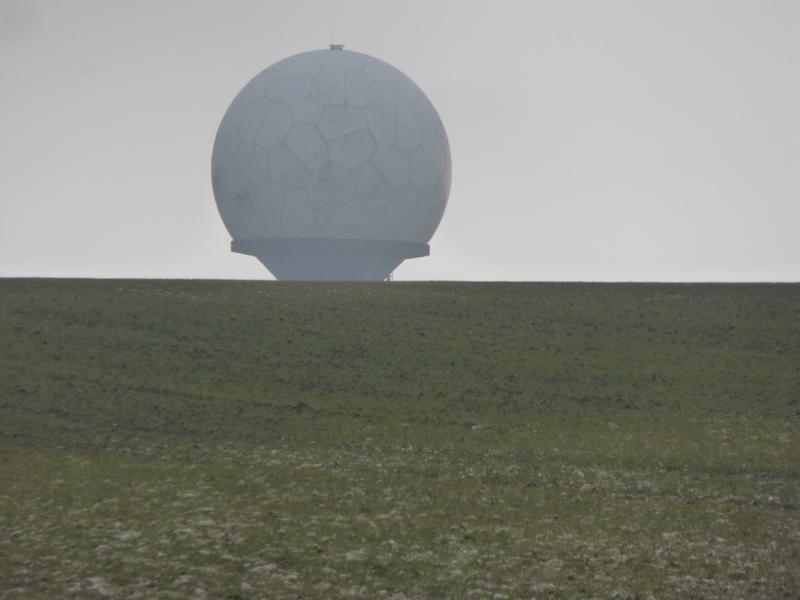
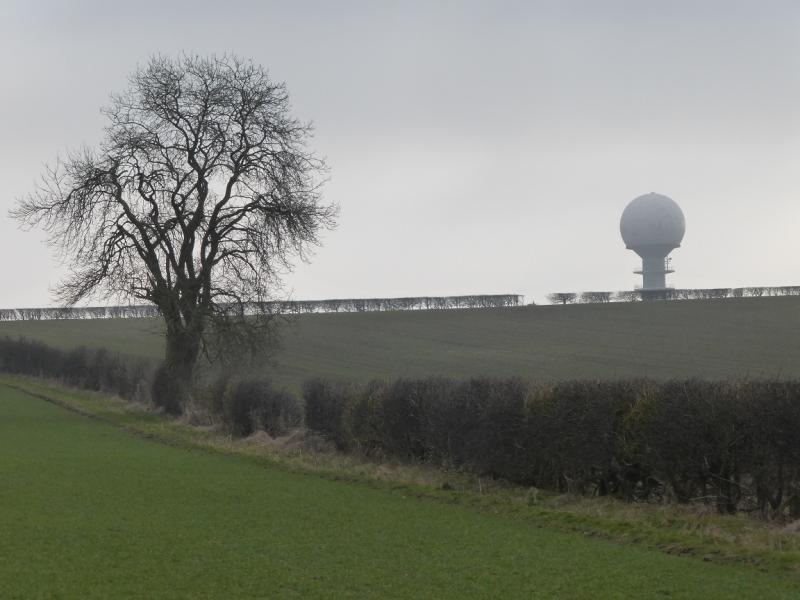
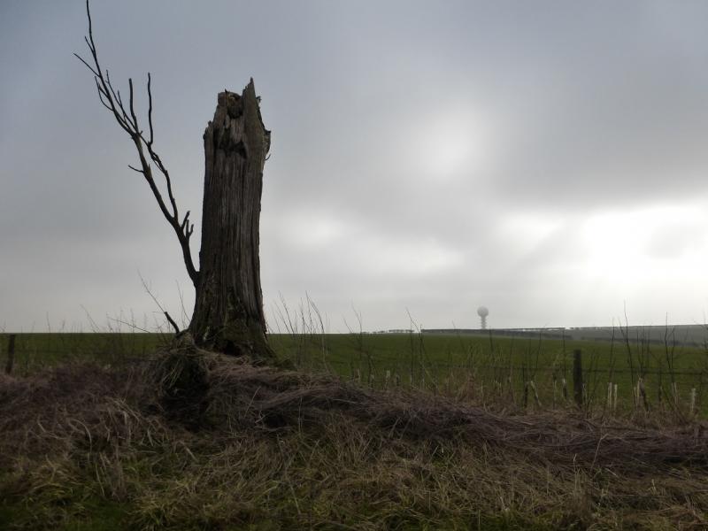
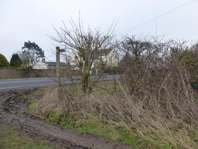
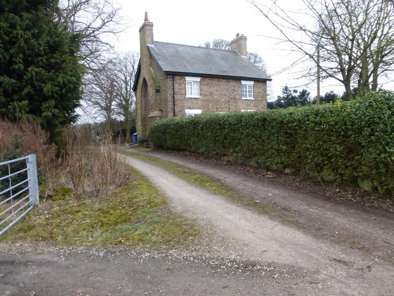
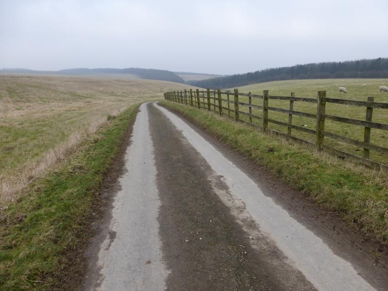
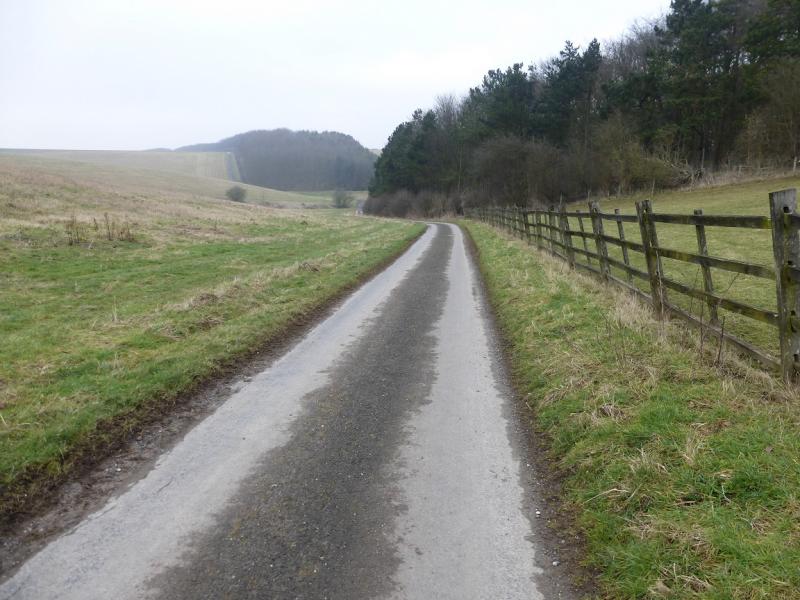
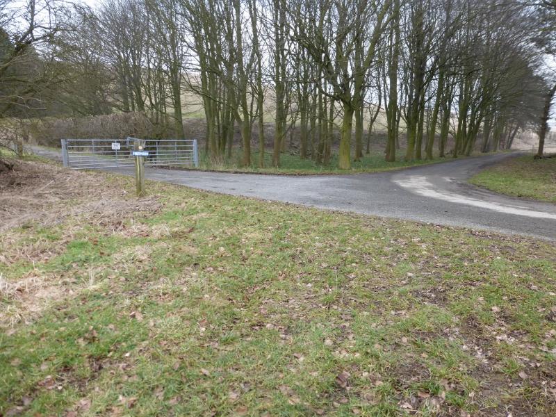
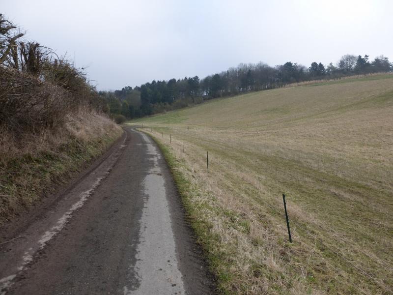
(1) Go through the gate on the right at the foot of the first hill. There is a pond (not that obvious) on the right. Walk up the track past the old tennis court (behind the conifers) and a second pond. Just after a large tree is a sign post for a path going left, off the track, and into the start of a shallow dry and grassy valley. The path turns right about 600 m after the sign then continues, ascending gently, before exiting between some trees to reach a tarmac track near Hills Brough Farm. Turn right, away from the farm (which is not visible) and soon reach the B1225. Go right then immediately left on to a minor road and follow this to the radio station which looks like a giant golf ball on a tee. Go past the golf ball then through the next gate on the right and follow a hedge to its end where there is a large gap in the hedge ahead. Go through the gap and turn left. About 40 m along another hedge is the trig point marking the highest point in Lincolnshire.
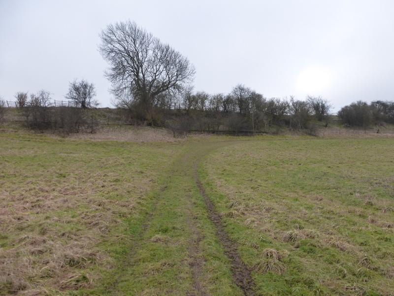
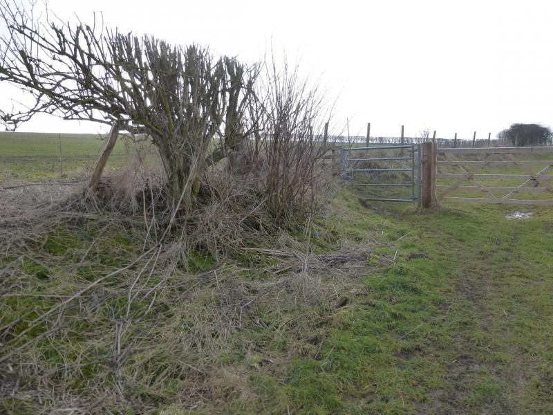
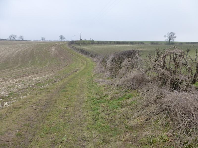
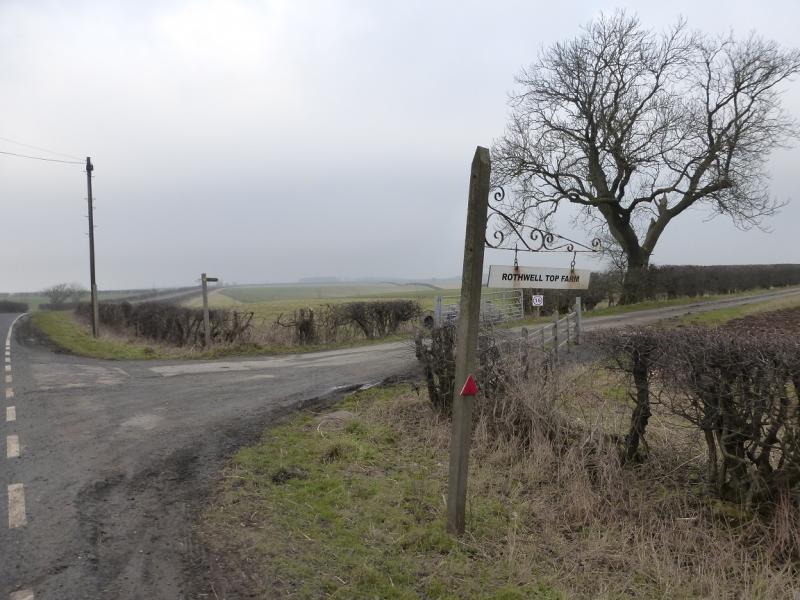
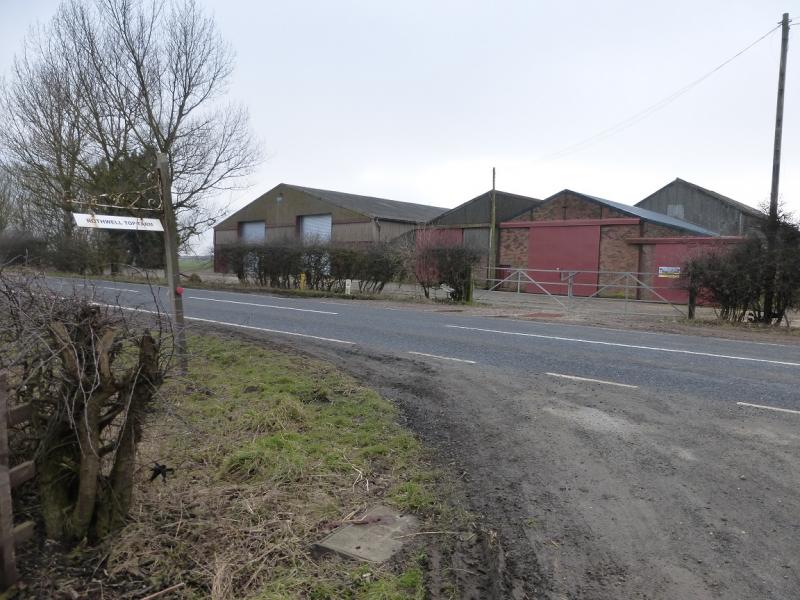
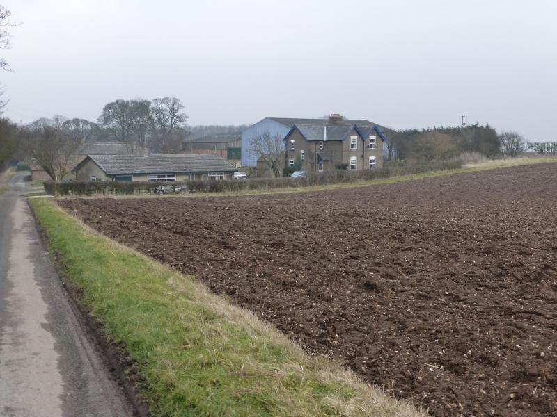
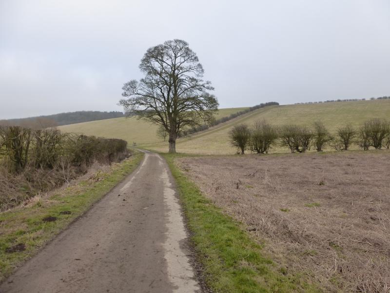
(2) From the trig point, walk NNW with a hedge on your left to reach another hedge. The right of way is on the other side of this hedge and a gate can be seen on it to the right. Turn right, walk along the hedge and just after the gate is a wide gap which is easily walked through to reach the right of way. Note that from leaving the road by the golf ball to joining this right of way, one is not on a right of way so tread warily! Follow thie right of way almost due E to reach the B1225 at Mount Pleasant. Turn left and reach the track, on the right, for Rothwell Top farm. There are some buildings on the B1225 opposite the start of this track. Walk down the track, past most of the buildings to reach a gate on the left just before the last house. Go through the gate and follow the path down to a right hand bend and then back to the start, rejoining the outward route at the large tree by the sign post at the bottom of the dry valley.
Notes
(a) This walk took place on 15th February, 2015.
(b) The walk can be shortened by nearly an hour by missing out the trig point section. When the B1225 is first joined, walk NNW along it for about 1 km, to reach the track to Rothwell Top Farm.
Photos - Hover over photo for caption. Click on to enlarge. Click on again to reduce.