Get Lost Mountaineering
You are here: England » Lake District » 2 Far Eastern Fells
Tarn Crag, Grey Crag, Harrop Pike, High Wether Howe & Seat Robert from Swindale
Tarn Crag, Grey Crag, Harrop Pike, High Wether Howe & Seat Robert from Swindale
Start/Finish
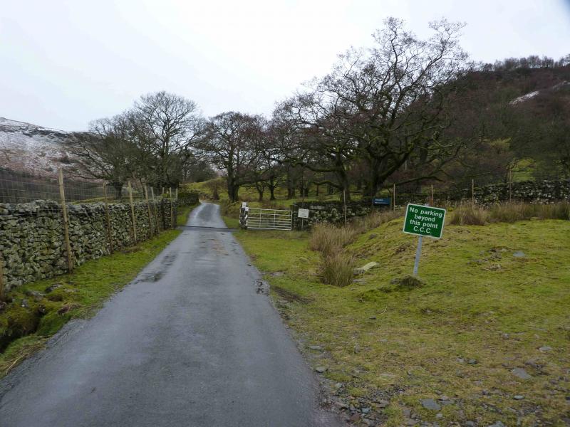
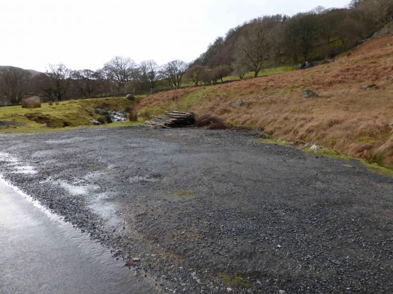
Small off road rough car parking area before Swindale Foot. From Penrith, take the A6 south to Eamont Bridge then turn off for Yanwath (Pooley Bridge road) then turn off south for Askham. Go through Butterwick then fork left at Bampton but do not cross the river into Bampton Grange. Instead follow the road on the SW side of the river for about a mile then take the right fork for Swindale. Follow this until the car parking is reached where there is a prominent notice stating there is no parking beyond this point.
Distance/Time
16 km About 6 - 7 hours
Peaks
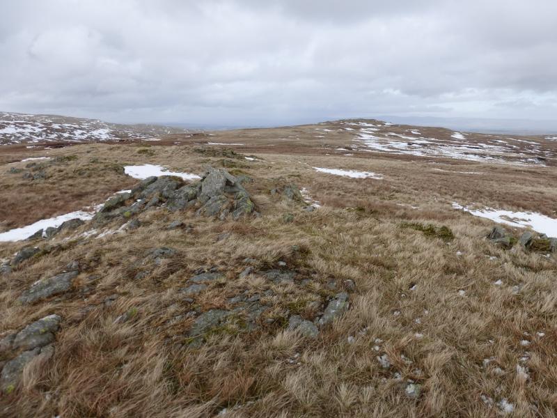
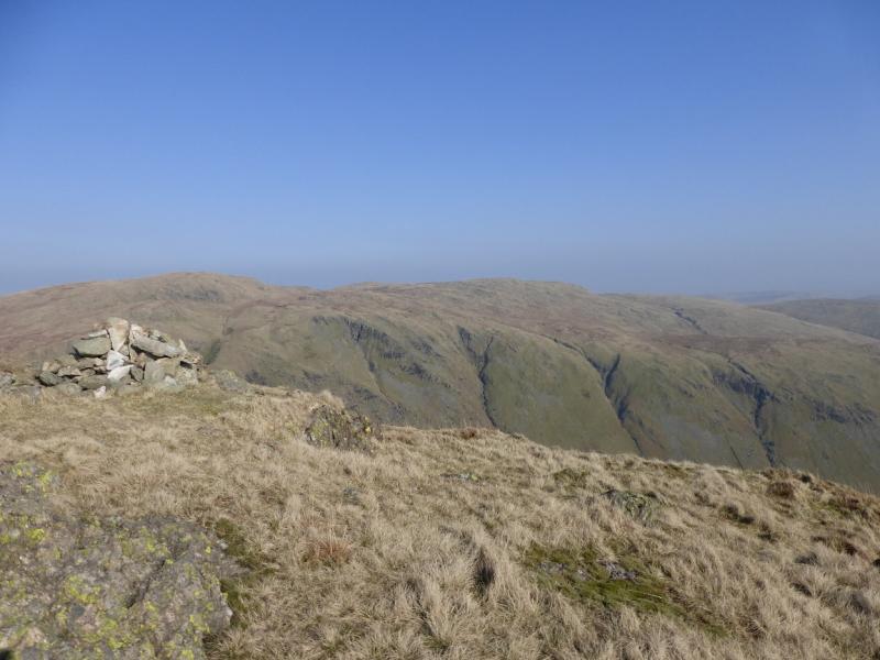
Tarn Crag, 664 m, NY 488 078.
Grey Crag, 638 m, NY 497 072.
Harrop Pike, 637 m, NY 501 078.
High Wether Howe, 531 m, NY 515 109.
Seat Robert, 515 m, NY 527 113. OS 1: 50 000, sheet 90.
OS 1: 25 000 Outdoor Leisure 5, English Lake District NE Area.
OS 1: 25 000 Outdoor Leisure 7, English Lake District SE Area.
Introduction
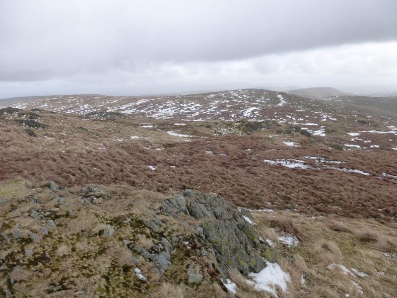
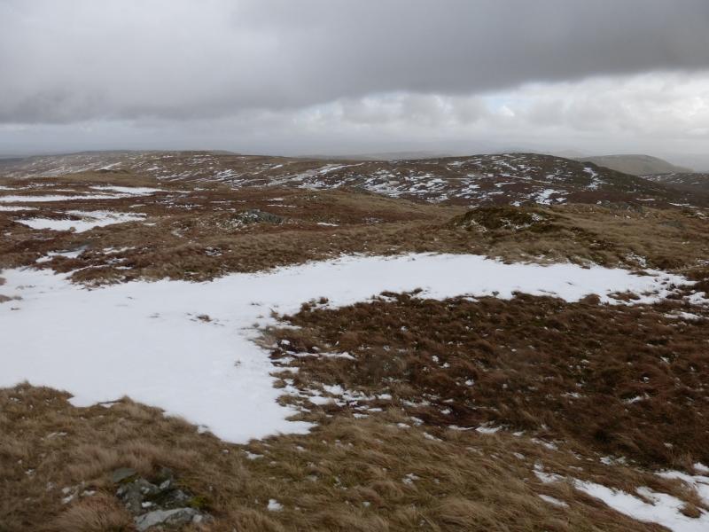
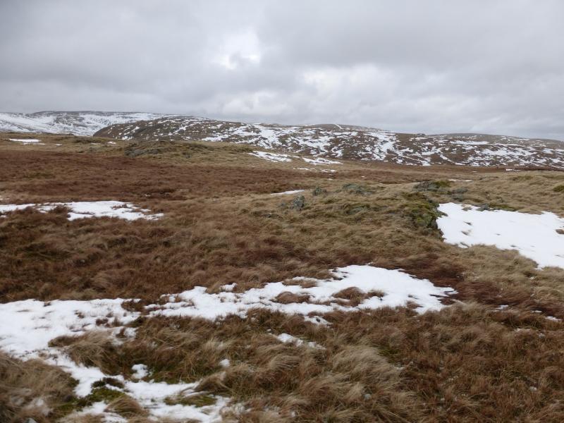
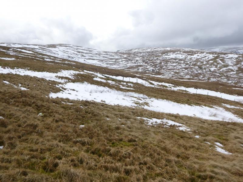
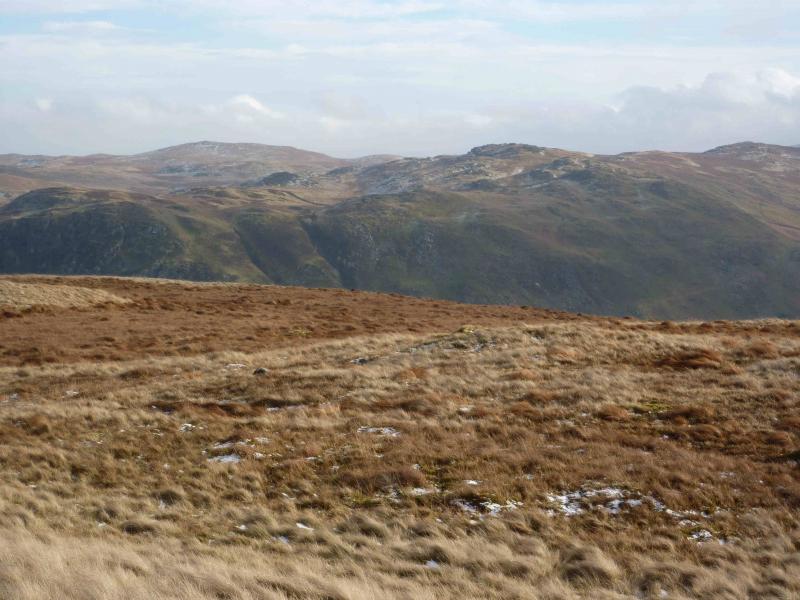
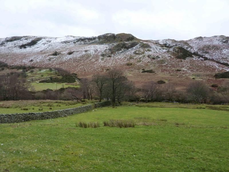
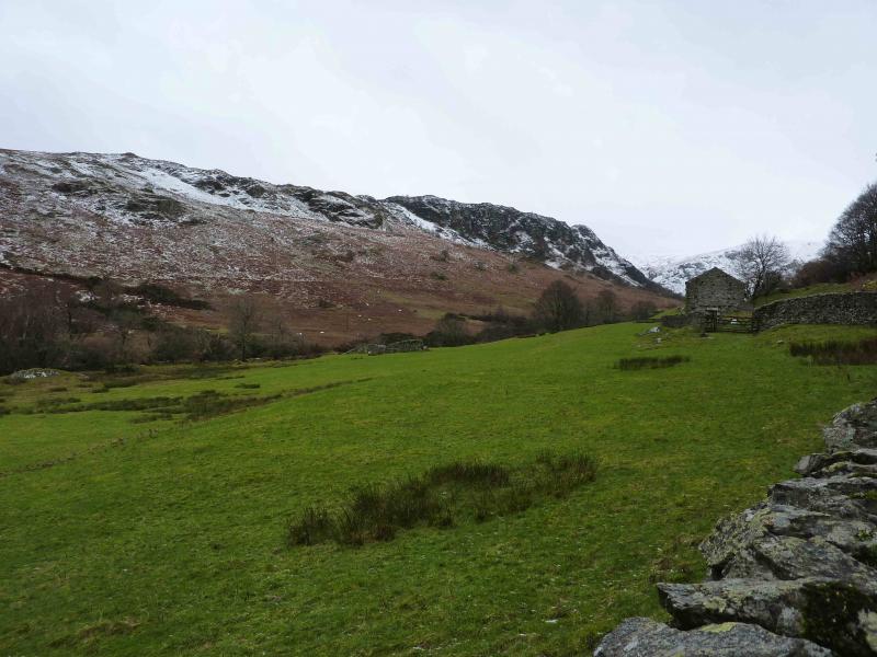
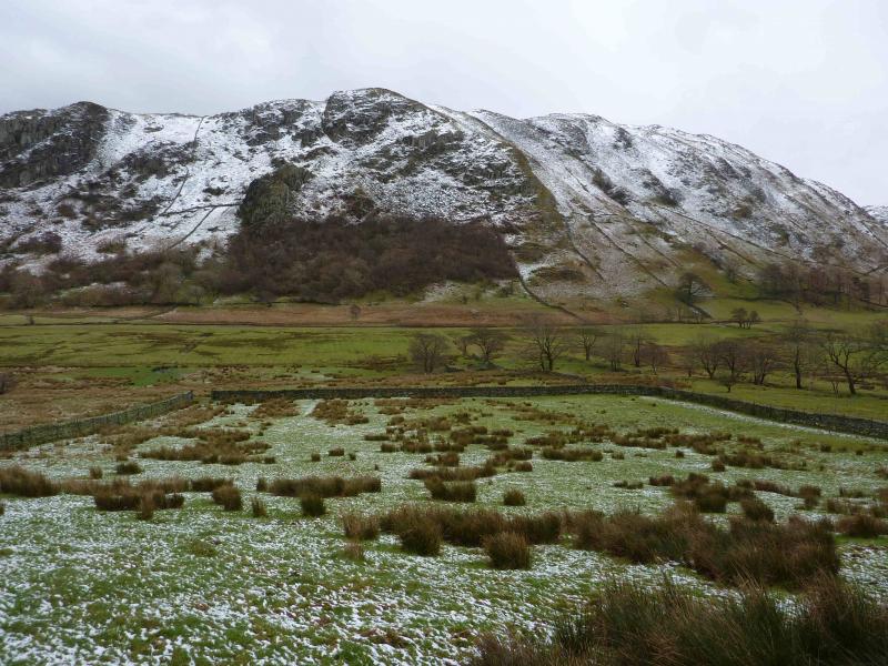
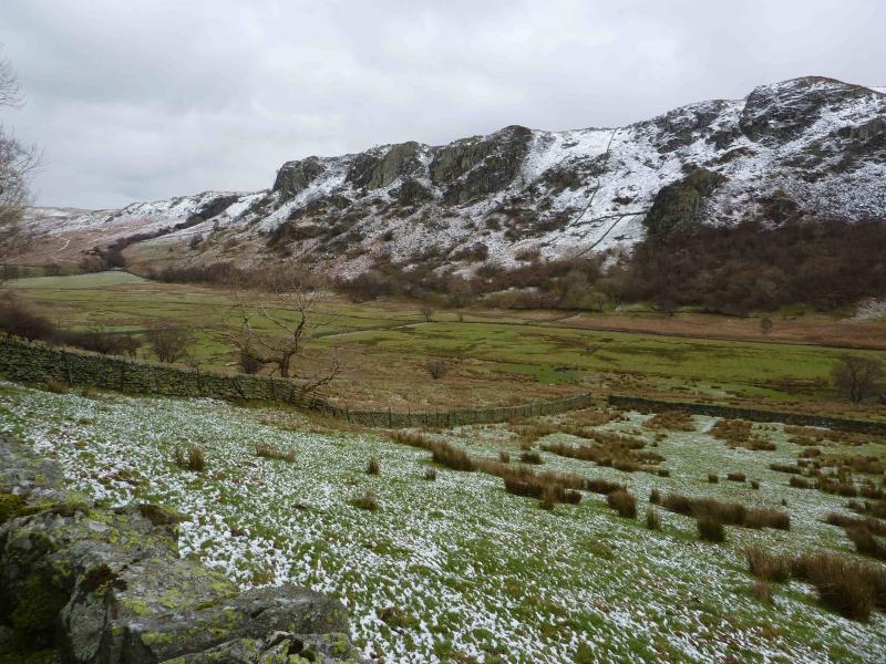
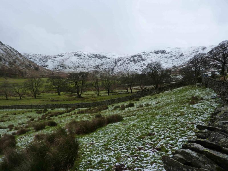
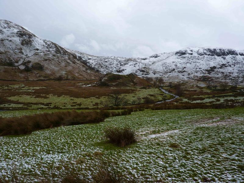
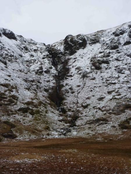
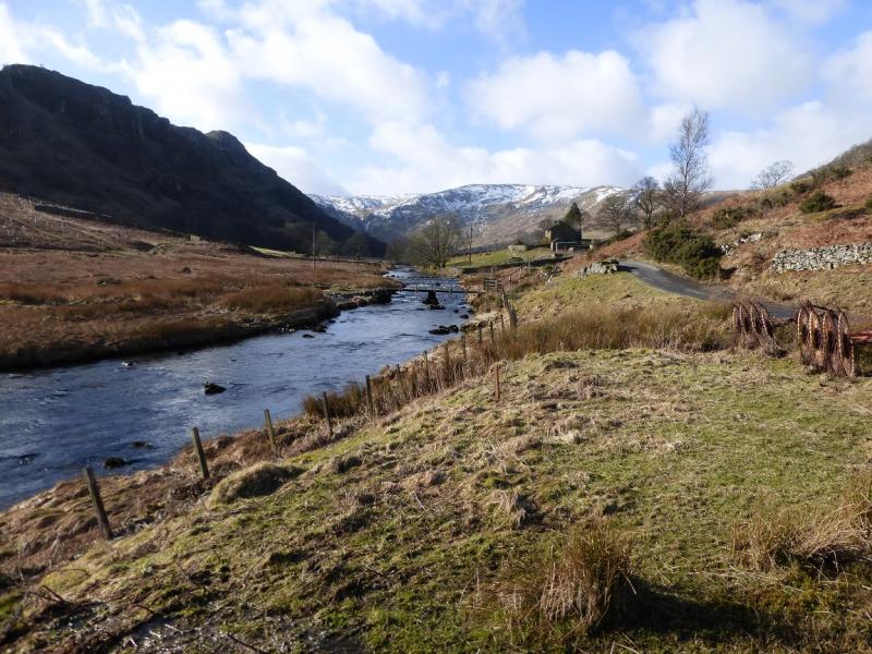
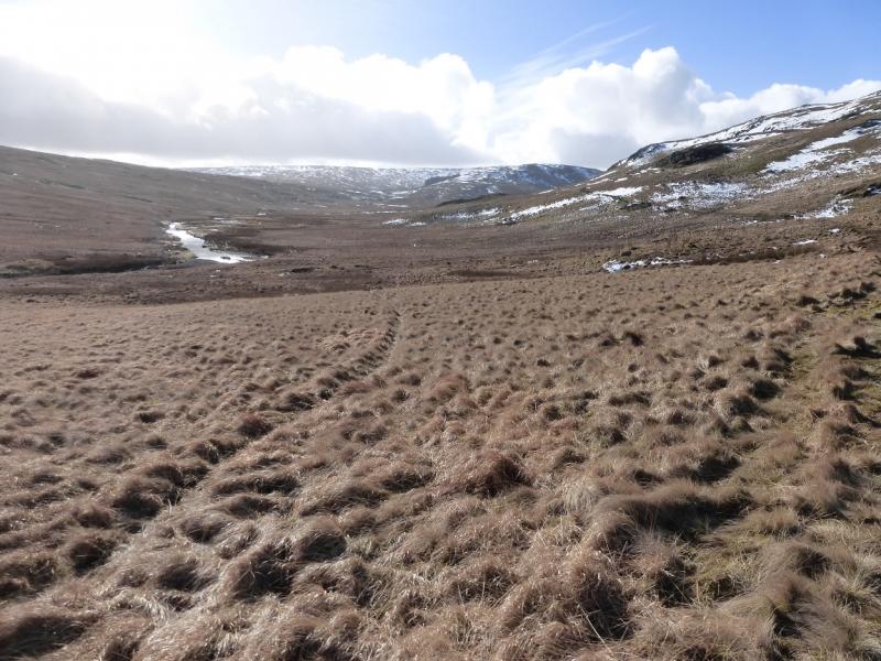
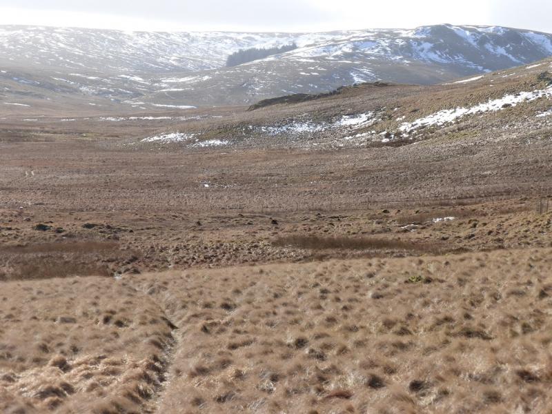
Swindale is a lovely unspoilt valley which has no tourist attractions whatsoever. This is a very pleasant walk but sections of it can be quite wet, especially in winter, so this walk is probably best attempted in either a summer dry spell or when the ground is frozen. Mosedale is very wild and desolate with few features so this walk is best tackled in clear weather. On a clear day, there are prominent views to Branstree and Selside Pike. Kidsty Pike and High Raise will also be seen. Looking east, the Howgills are well seen whilst to the north, Cross Fell is fairly obvious. Going up Brunt Tongue and descending from Harrop Pike is rough, tussocky grass and also quite boggy so progress may be slow.
Route
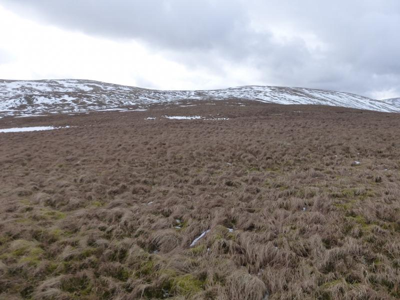
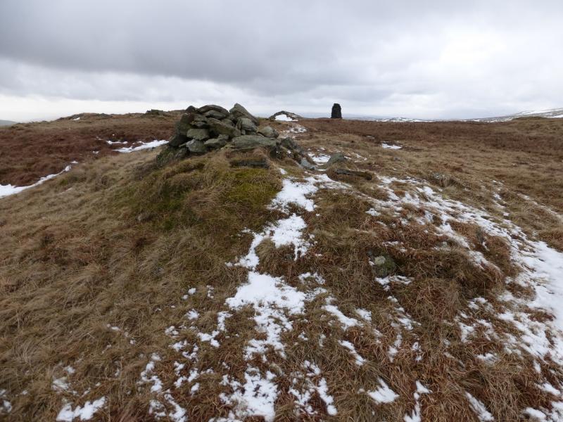
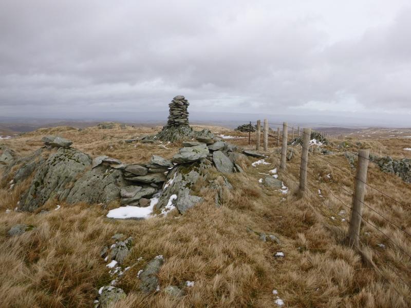
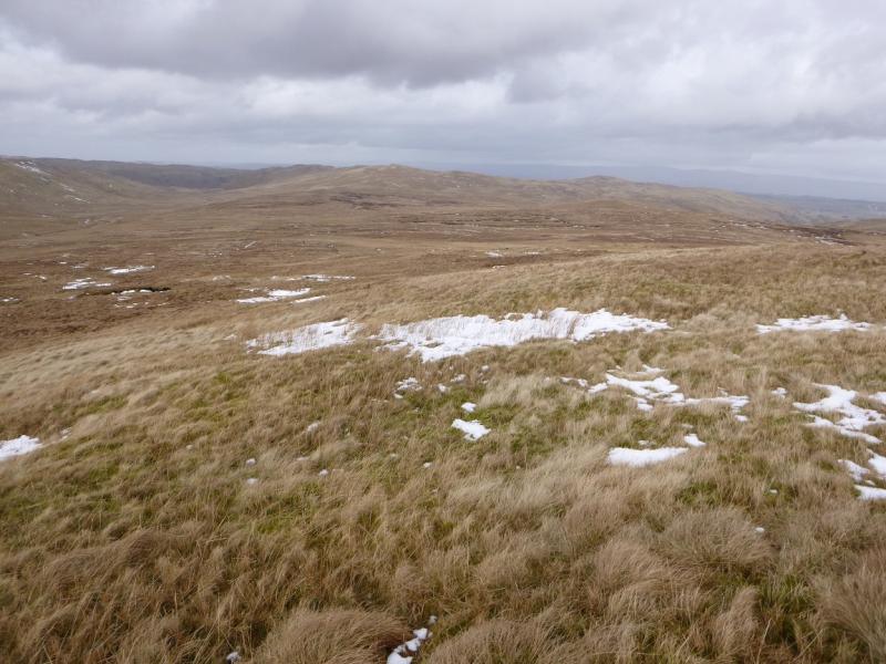
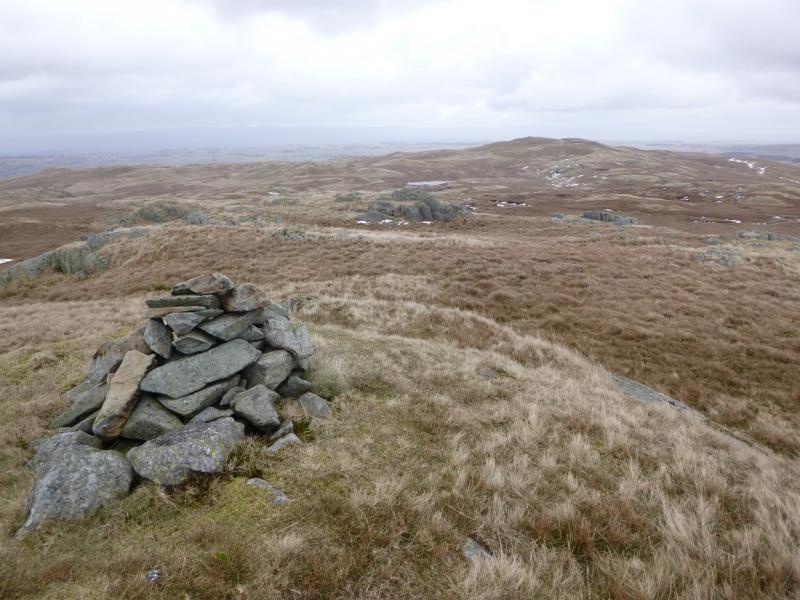
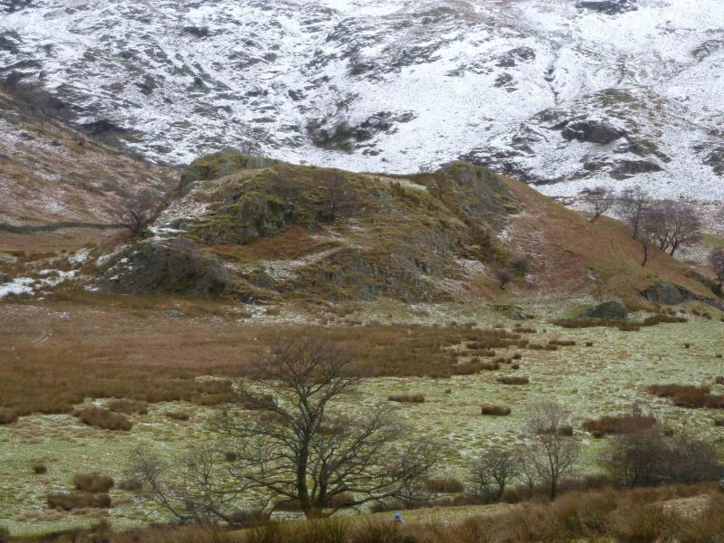
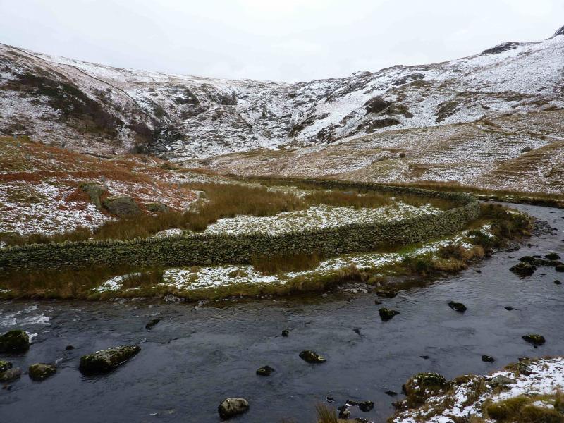
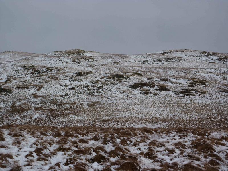
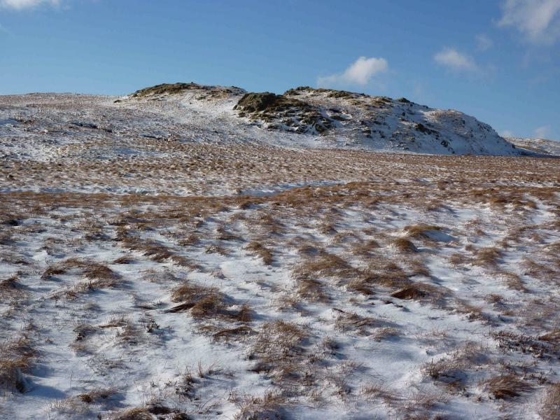
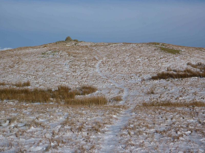
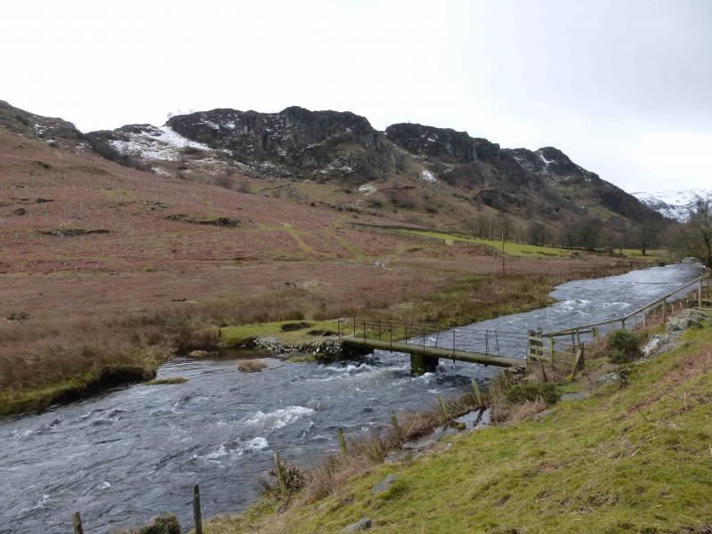
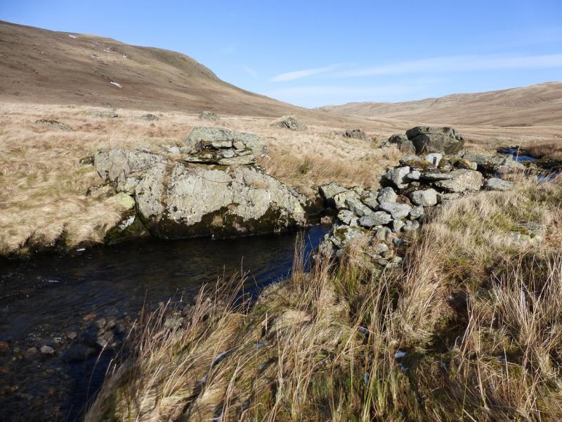
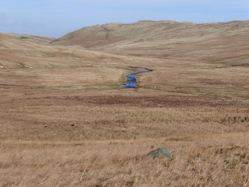
(1) Walk up the road in Swindale to its end then continue along the stony bridleway which soon becomes grassy, and often wet as it climbs out of Swindale. In places, the track resembles a ditch! When the “track” levels out, continue to follow it S well to the W of Mosedale Beck. The main track goes through a gate in a fence with no stile elsewhere. Continue on the main path/track and aim, roughly, for the foot of Brunt Tongue which is easily spotted, in good weather, by its small wood – the only wood around. When Mosedale Beck splits, take the right fork and follow it, with little in the way of a path, to the ruins of the old bridge. Unless it has been very wet, it is fairly easy to cross here or slightly upstream. Once across, pick a way up on to the crest heading SW towards Tarn Crag. An alternative is to cross the obvious bridge just before Mosedale Beck splits then cross Little Mosedale Beck to reach the foot of Brunt Tongue. The Brunt Tongue ridge is rough tussocky grass which is mainly pathless although there is an ATV track higher up but this eventually passes to the N of the summit. If clear, look for the fence on the crest and walk to it. A path leads from the gentle corner and heads SW to the medium cairn which marks the summit of Tarn Crag, 664 m. beyond which is a tall pillar cairn.
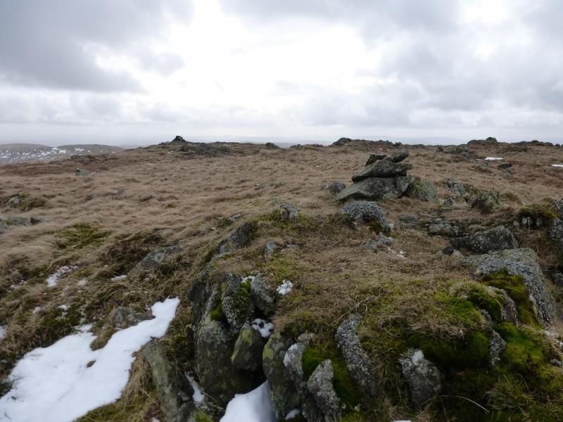
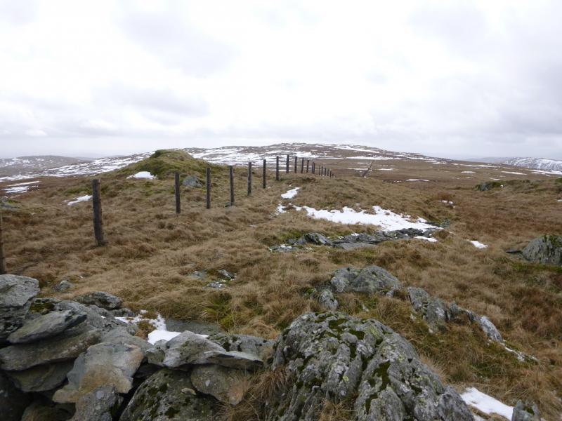
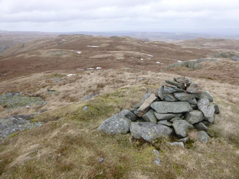
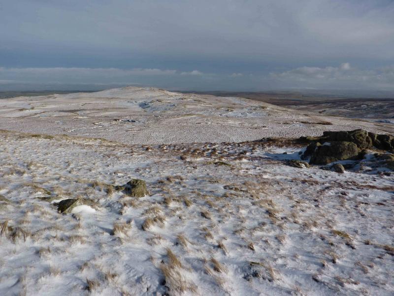
(2) Return to the fence and follow the path E then SE into a boggy col. Continue up to reach a right angle corner in the fence then walk S for about 300 m to reach a small cairn then a medium cairn which marks the summit of Grey Crag, 638 m.
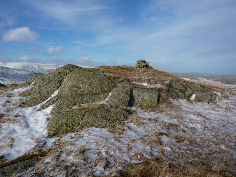
(3) Retrace to the fence corner and follow the fence and path NE, with little descent and re-ascent, to reach the tall pillar which marks the summit of Harrop Pike, 637 m.
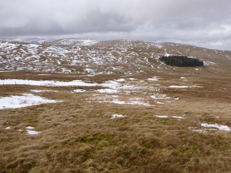
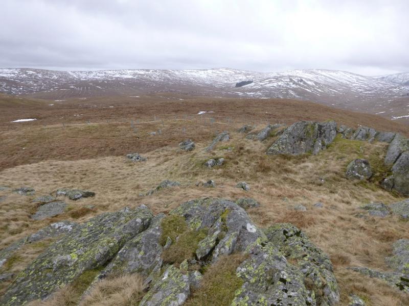
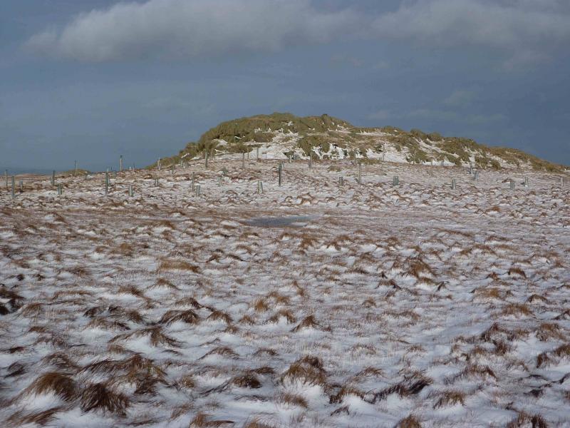
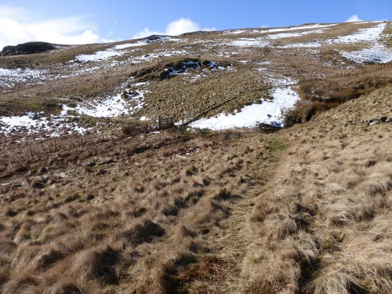
(4) Continue on the path, following the fence, for just under 1 km, until a fence goes off N. Follow this down with the best of the poor ground perhaps to the right. Lower down, the fence becomes broken. Leave it when it intersects with a grassy track coming up from the bridge across Mosedale Beck. Follow the track up but leave it just before it passes below Scam Matthew and walk N to the top directly ahead. Ascend easily to the small cairn which marks the summit of High Wether Howe, 531 m. Some trees have been planted just before the summit area.
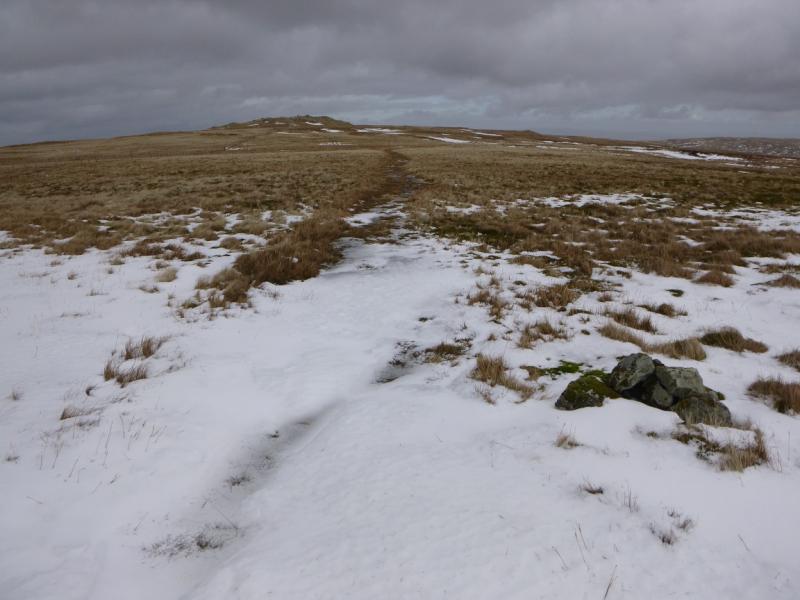
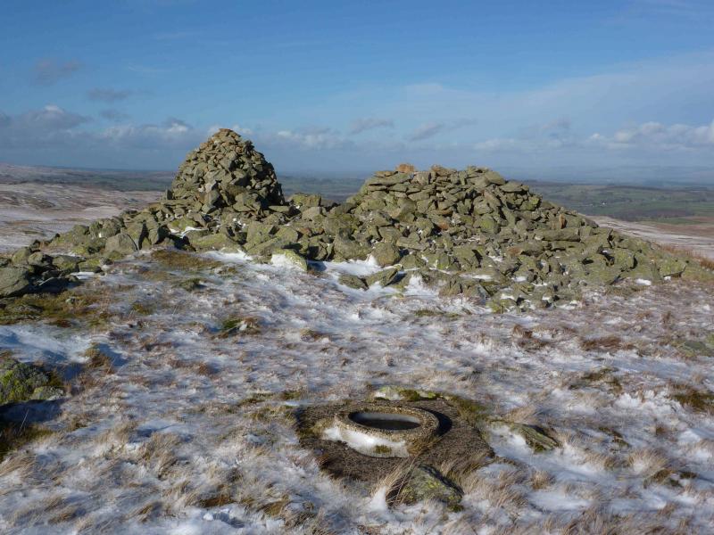
(5) Descend ENE and pick up one of the tracks. Follow it towards Seat Robert where a path, which branches off left, leads directly and gently to the large cairn, shelter cairn and the circular base of an old trig point which mark the summit of Seat Robert, 515 m.
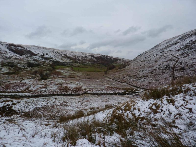
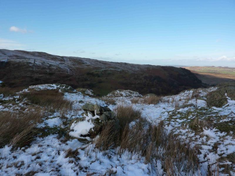
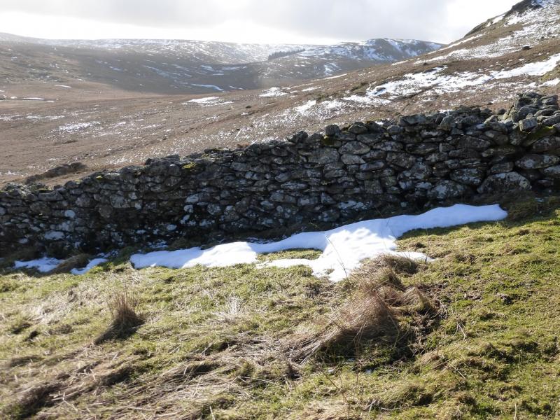
(6) The map shows a right of way running SE – NW which lies to the N of the summit but this is not that easy to locate, especially under snow, so walk roughly NNW to Glede Howe which has a small cairn on it. Continue in the same direction, initially aiming for what seems to be the end of the prominent wall to the W of Haskew Beck. The end is actually a corner. As this approached, follow a track/path which goes, to the right, through Waite Howes to reach an old cairn which is the start of the descent into Swindale. This route lies a short distance to the E of Gouthercrag Gill. The path/track, wet in places, leads down to a ford across the river but a short distance downstream is a footbridge which leads to the road and an easy stroll back to the start. Note that it can be very easy to stray to the E towards Great Ladstones which will mean cutting back across Mealhowe Gill where there is much sodden ground.
Notes
(a) This walk took place on 27th February, 2015.
Photos - Hover over photo for caption. Click on to enlarge. Click on again to reduce.


 from Brunt Tongue.JPG)