Get Lost Mountaineering
You are here: England » Lake District » 2 Far Eastern Fells
Wansfell Pike & Wansfell via Stockghyll Force from Ambleside
Wansfell Pike & Wansfell via Stockghyll Force from Ambleside
Start/Finish
Park anywhere in Ambleside centre. Free all day parking is extremely limited and difficult to find. There are several expensive Pay and Display car parks.
Distance/Time
12 km About 4 – 5 hours
Peaks
Wansfell Pike, 484 m, NY 394 041.
Wansfell (Baystones), 487 m, NY 403 051.
OS 1 : 50 000, sheet 90. OS 1 : 25 000 Outdoor Leisure 7, English Lake District SE Area.
Introduction
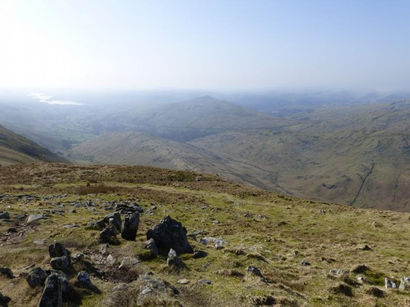
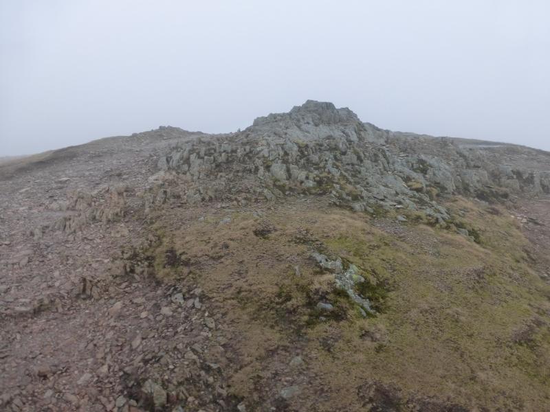
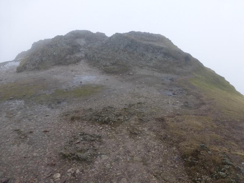
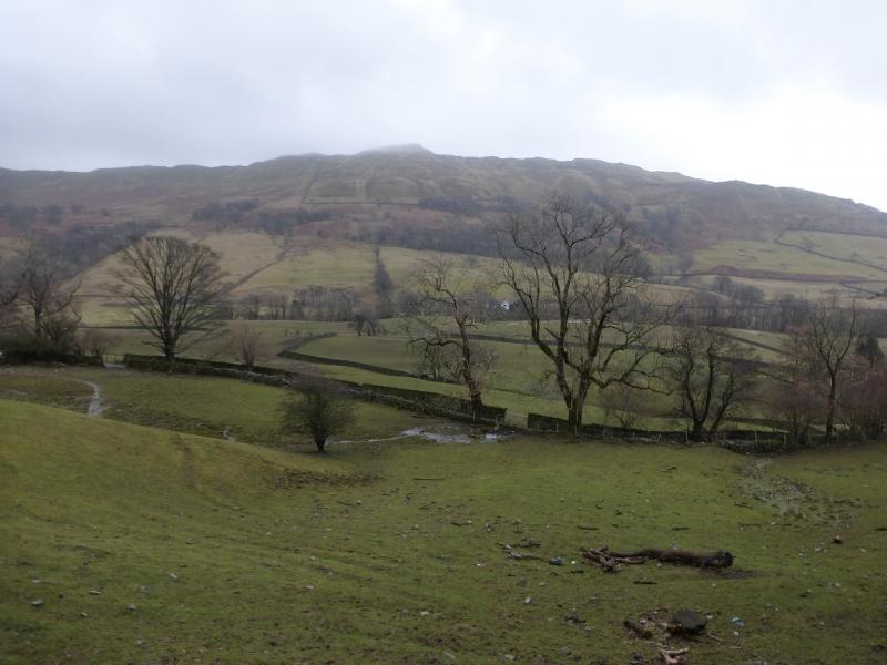
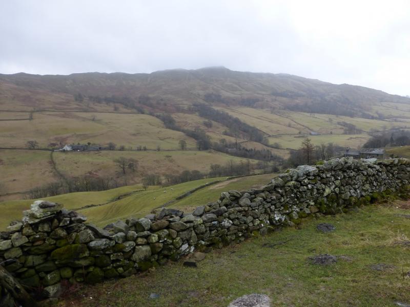
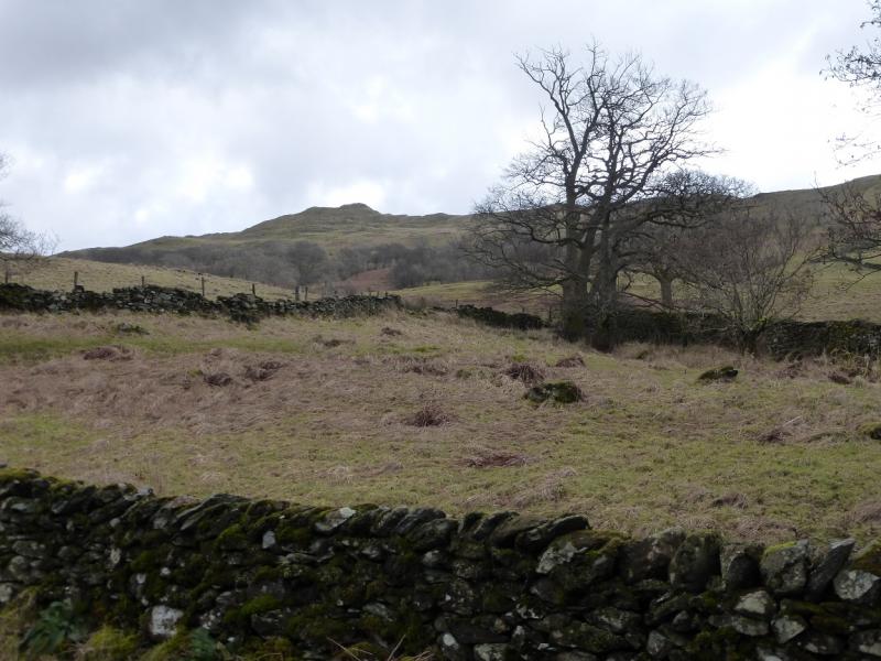
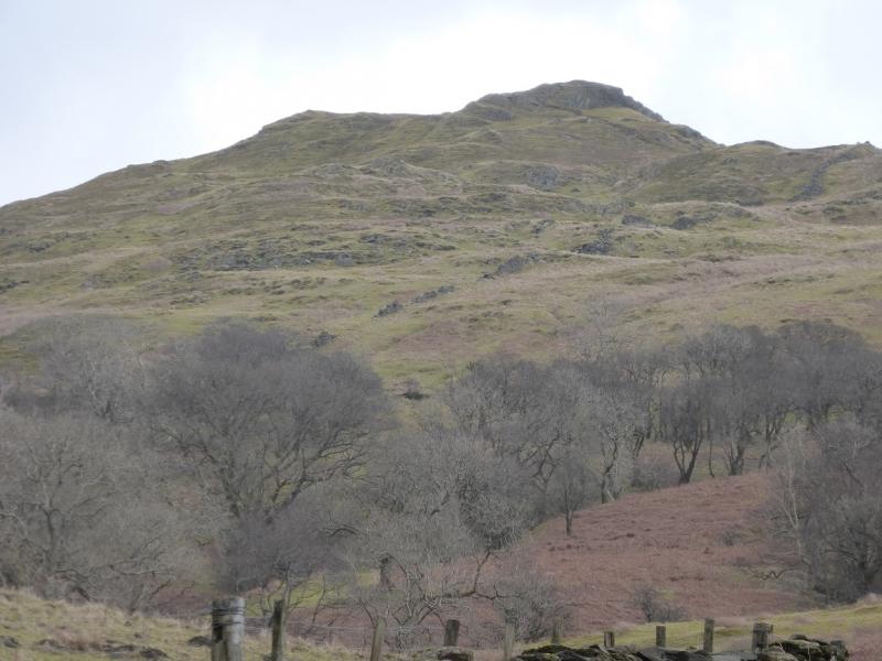
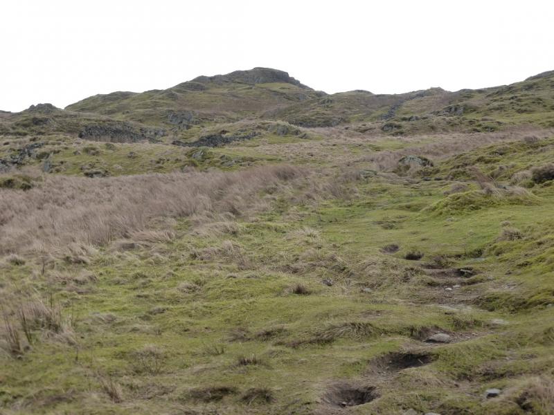
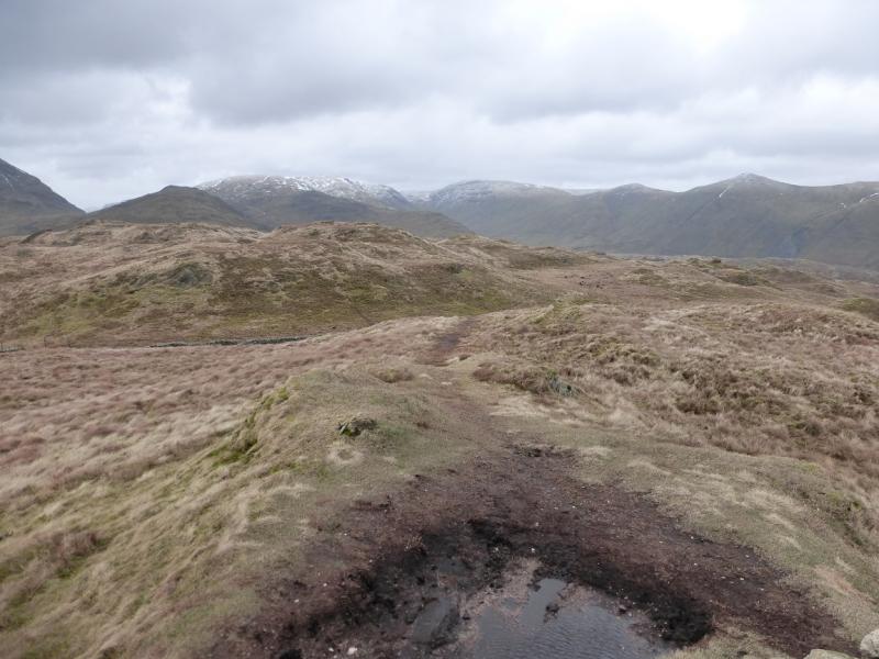
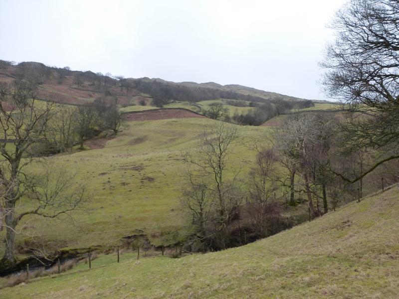
This is a pleasant walk – in places (!!!) – with excellent views on a clear day which include parts of the Fairfield and Kentmere Horseshoes, Red Screes, Caudale Moor, the Langdale Pikes and Windermere. The section from Wansfell Pike to Wansfell summit has some very wet and boggy sections. The middle part of Nanny's Lane is also very boggy. There seems to be some confusion as to the exact location of Wansfell summit. On OL7 (SE Lakes, the spot height of 487 m is shown at NY403 052. This spot height may be correct but it is not the summit which is about 150 m SSW, across a wall, at NY 403 051 and is in clear weather, so obviously, the highest point in the vicinity and also is the only top with a cairn. Unfortunately, some guide books have the summit in the wrong place so beware! Good old Wainwright, however, is spot on so go and buy his guides! Note that there is no cairn or trig point (shown on some maps) on the summit of Wansfell Pike. From Wansfell Pike the summit looks lower and from the summit, Wansfell Pike looks higher so, perhaps, some resurveying is needed on this hill.
Route
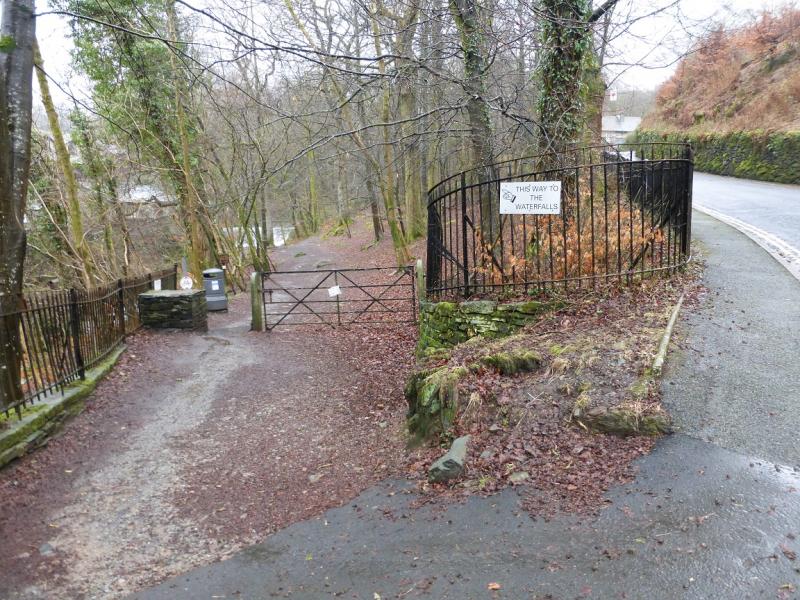
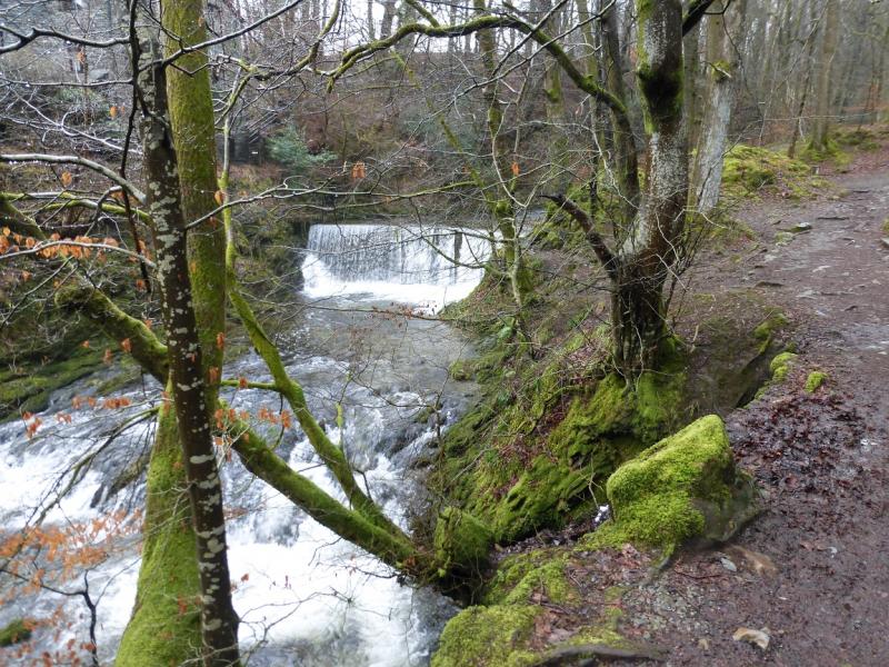
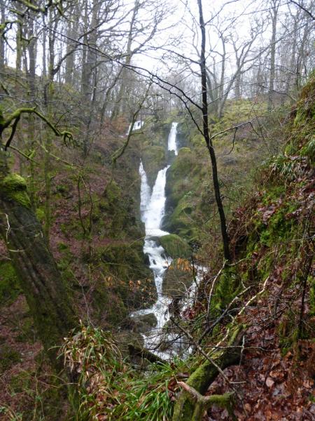
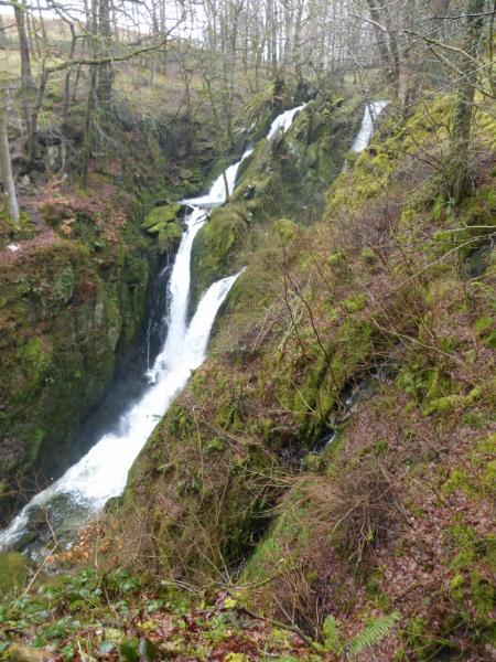
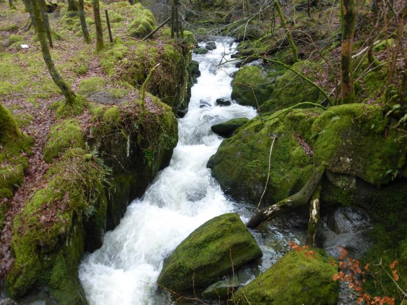
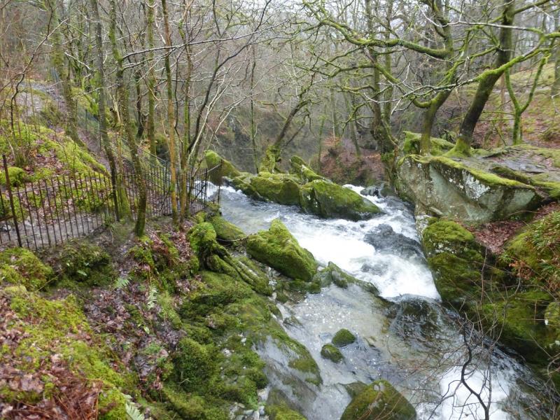
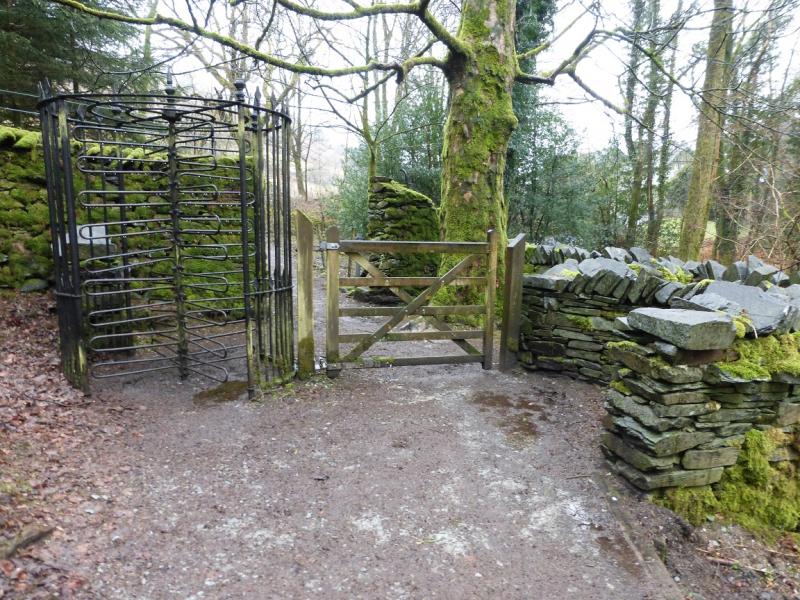
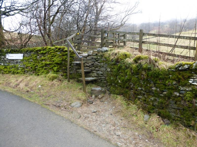
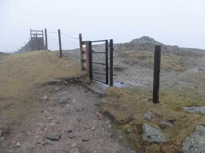
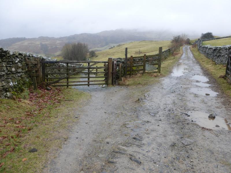
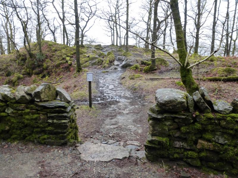
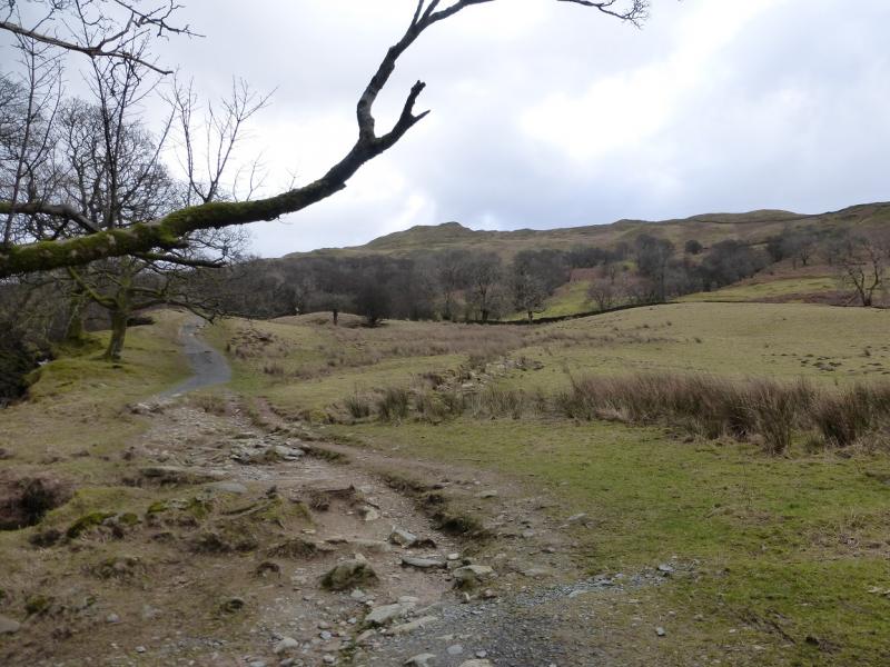
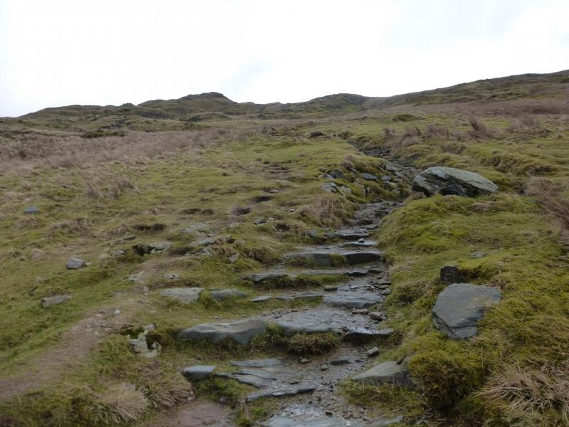
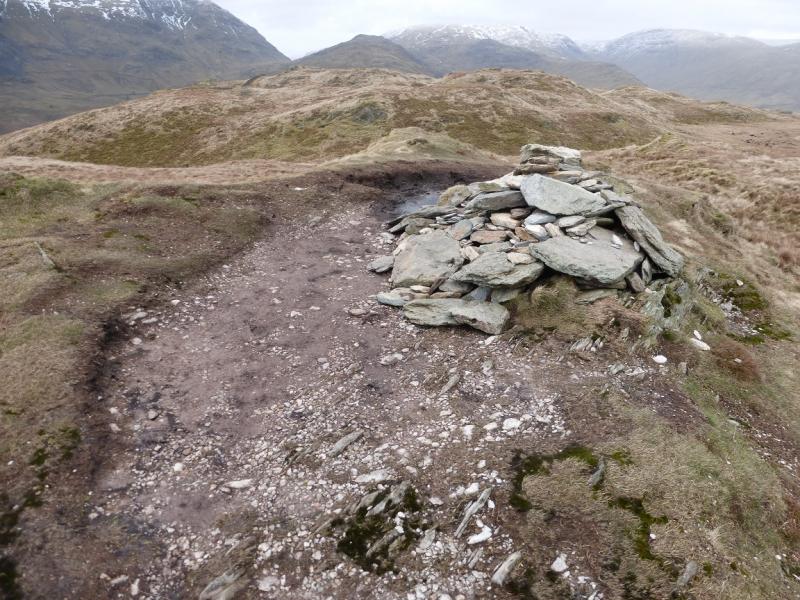
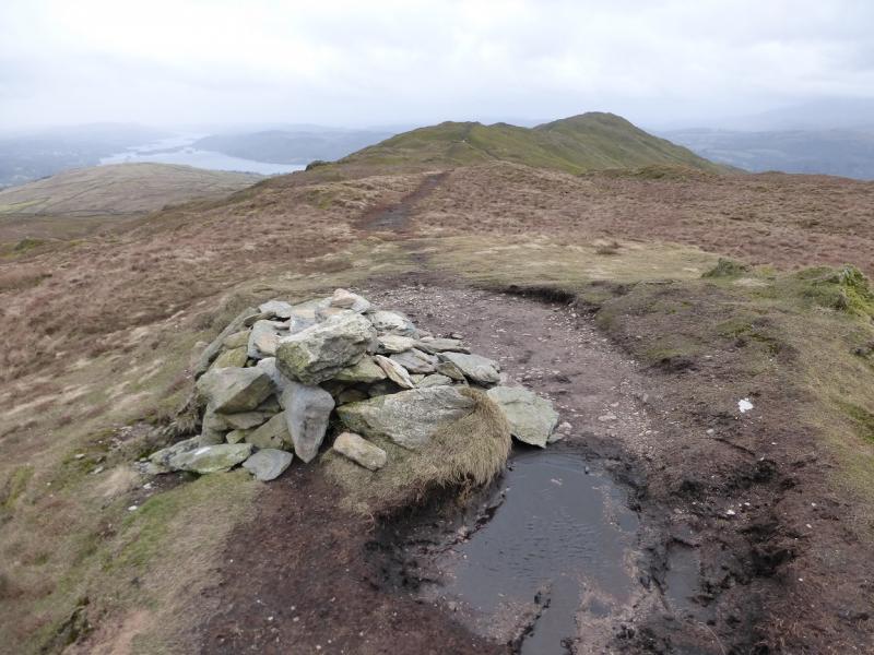
(1) Locate the Market Hall in Ambleside which is just below the obvious bend by the Salutation Hotel. Go down its left hand side then turn left on to an ascending road signed (on the railings) for Stock Ghyll and Wansfell Pike. Follow the road which soon looks down on Stock Ghyll (a stream). Continue until a signed path forks left off the road for Stock Ghyll waterfalls. Follow the path to the falls. The road needs to be rejoined by way of the signed Revolving Gate but there is a bridge just beyond the falls which many will want to visit then retrace to the gate. Continue up the road for about 500 m then look for some wooden steps on the right which are the start of the path up Wansfell Pike. Follow the obvious path up. It is steep in places but much work has been done on it in recent years. There is a large lowish cairn just below the top. From here, there is a choice of routes upwards with some scrambling available but not necessary if one stays on the path. Reach the summit area on, the path reaches a medium cairn which is the summit of Wansfell, 487where a fence becomes a wall and there is a small, modern gate. Go through this to the highest point where, surprisingly, there is no cairn but this is the summit of Wansfell Pike, 484 m.
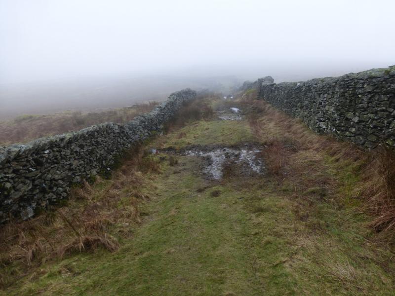
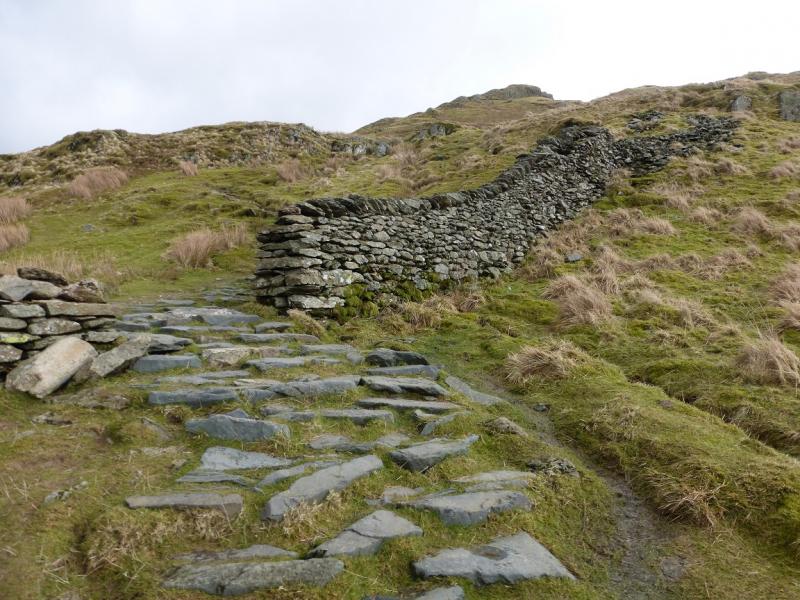
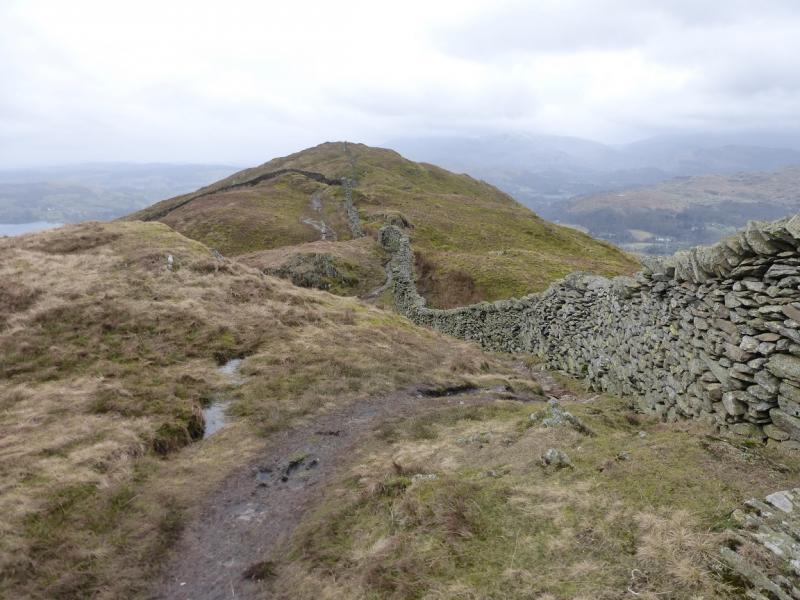
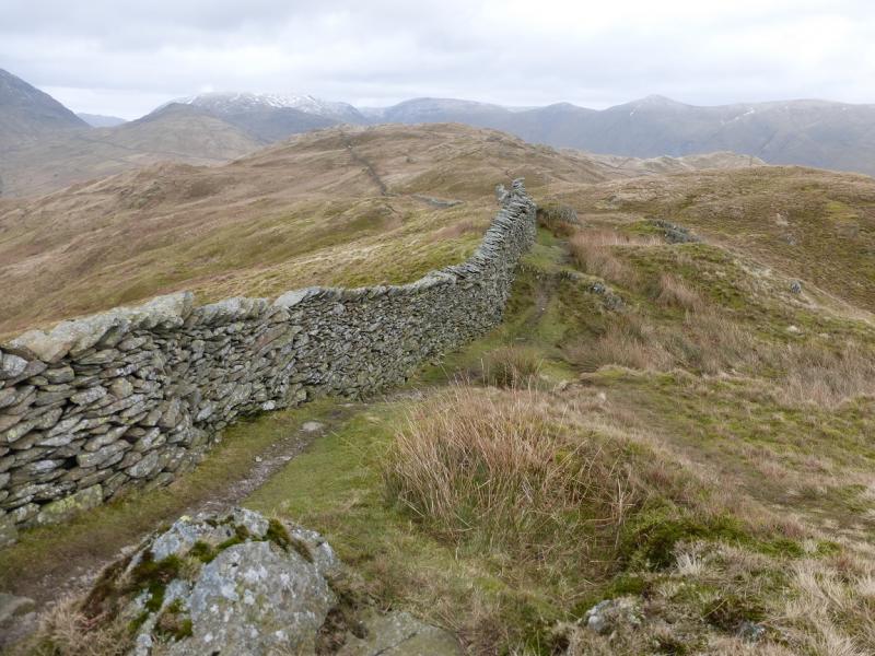
(2) Follow the wall, roughly NE, keeping it on your left. A path soon becomes apparent but it sometimes drifts away from the wall and there are some very wet, mossy and boggy sections. Another wall is crossed by a stile. Further on, the path reaches a medium cairn which is the summit of Wansfell, 487 m. A little further, the path descends to a broken wall where a slate sign says left for Kirkstone and right for Troutbeck if one needs a check in thick weather. m. A little further, the path descends to a wall where a slate sign says left for Kirkstone and right for Troutbeck if one needs a check in thick weather.
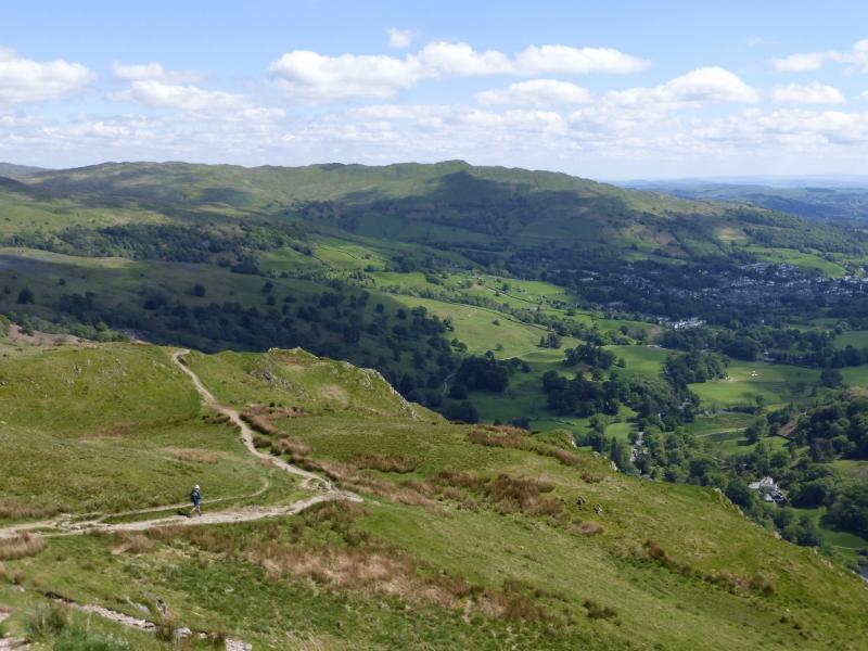
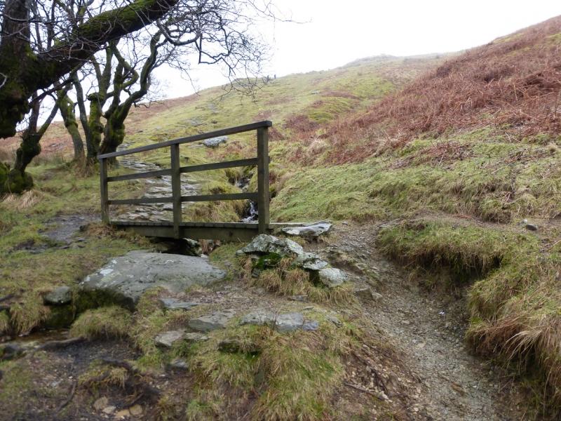
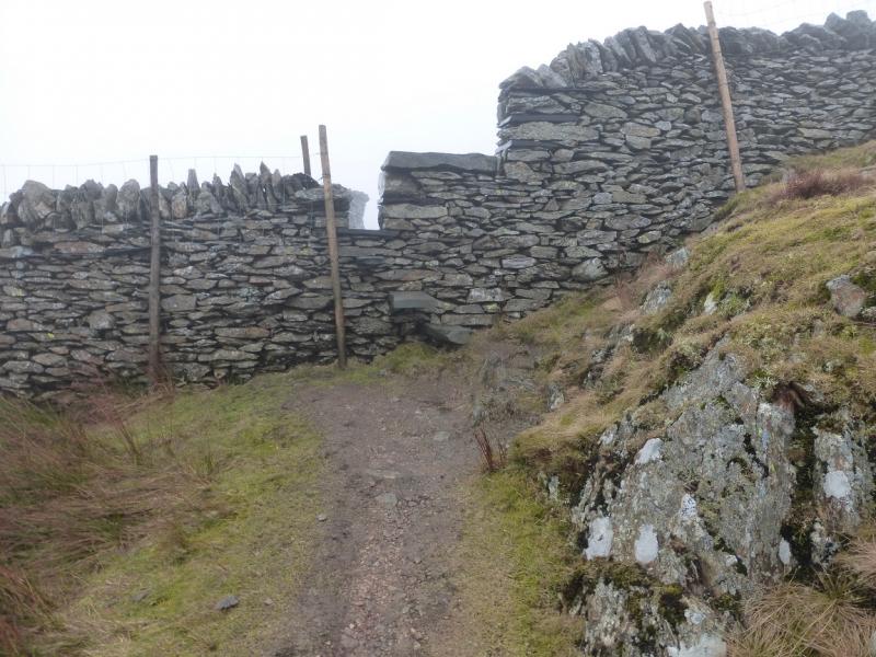
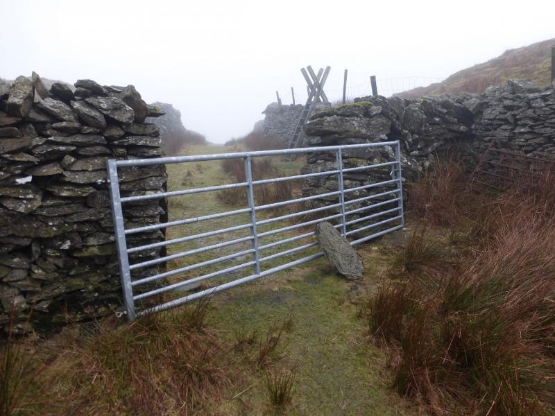
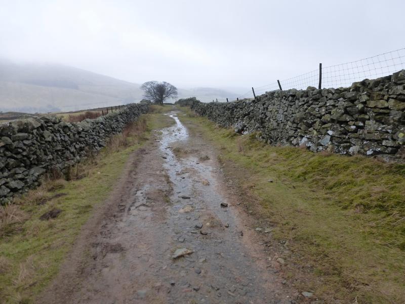
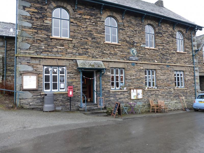
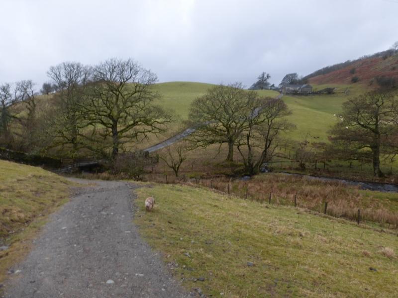
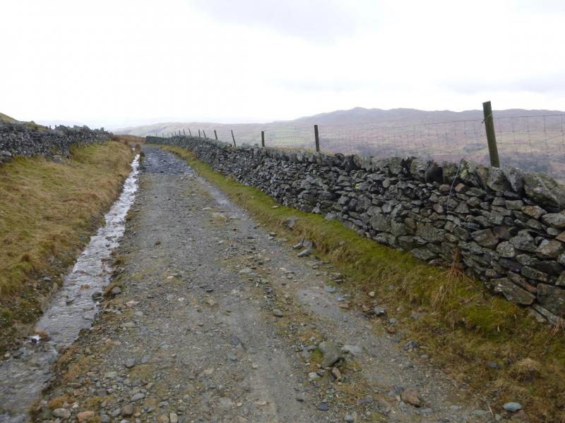
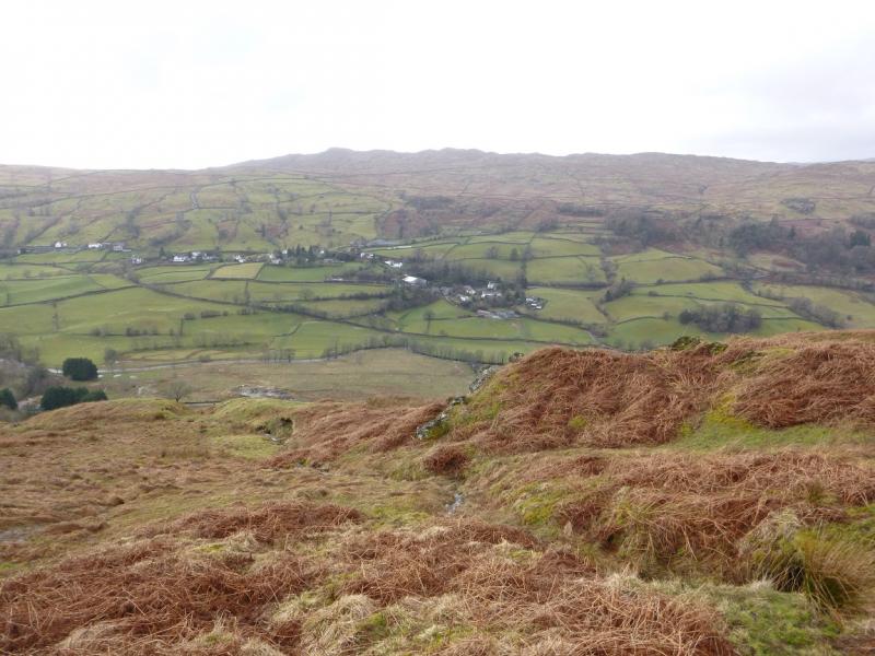
(3) From the summit cairn, take the obvious path going roughly due S, almost doubling back. This can be a little boggy but is easy to follow down and there is the odd small cairn here and there. Lower down, it splits just before a minor top. Go to the left and follow the path inside the wall until a stile is reached. Nanny's Lane starts on the other side and, to begin with, is in good condition, but soon deteriorates to a boggy lane but improves again lower down where it meets the direct route from Wansfell Pike to Troutbeck. Continue on the lane and follow it into Troutbeck where it joins the minor road through the village. Follow the road, roughly S, to Annie's Clock tearoom and shop which is very pleasant with very welcoming staff and is well worth stopping off at but, unfortunately, seems to be closed on Sundays and Mondays. Just past here, a tarmac road forks off right signed for Ambleside. This is Robin Lane. Follow this up; it soon becomes a gravel track. It climbs for some distance, gradually curving round more to the W. Go past a pillar which is above the track on the right. Soon after, the signed return track forks off left through a gate. Follow the new track down to cross a stream by a bridge then ascend gently to High Skelghyll Farm. Continue on the track which soon enters woodland. Further on, there is a sign for Jenkin Crag on the left; the detour is less than 100 m and there are fine views of Windermere. Continue on the track, ignoring any paths off left. Further on, the track becomes a road, at the entrance to Broad Ings, then descends into Ambleside.
Notes
(a) This walk took place on 28th February, 2015, and 1st March 2015.
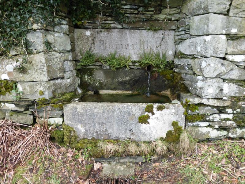
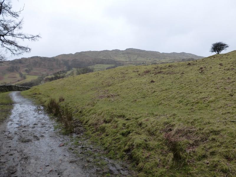
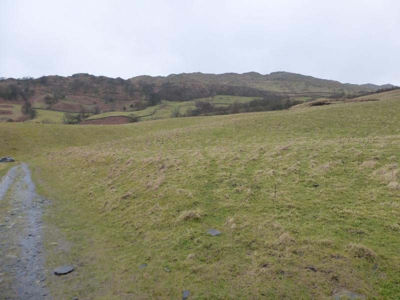
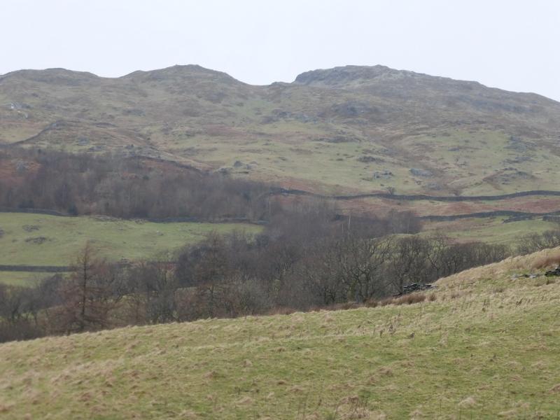
Photos - Hover over photo for caption. Click on to enlarge. Click on again to reduce.