Get Lost Mountaineering
You are here: England » Lake District » 5 Northern Fells
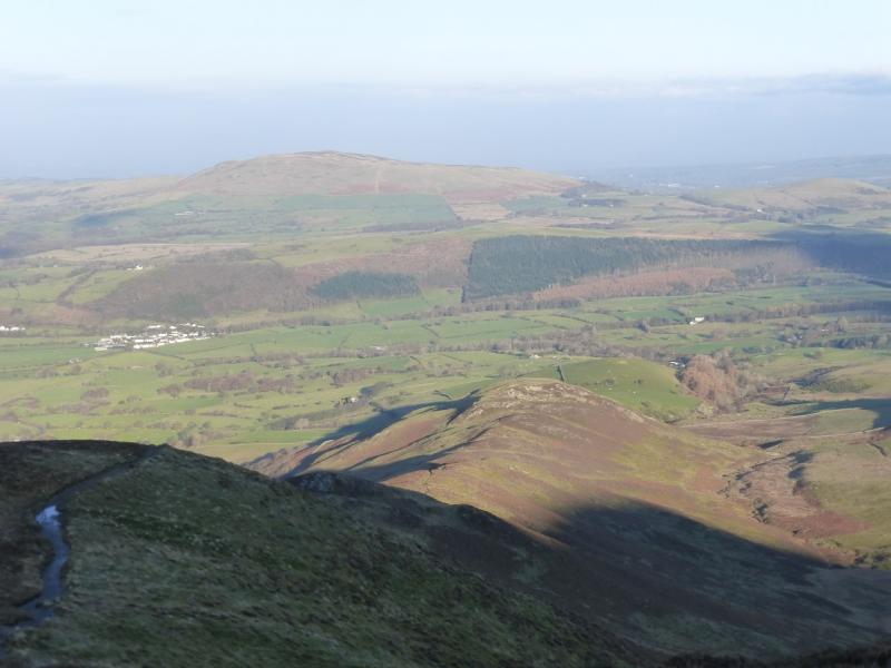
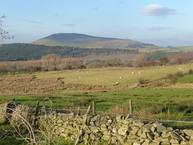
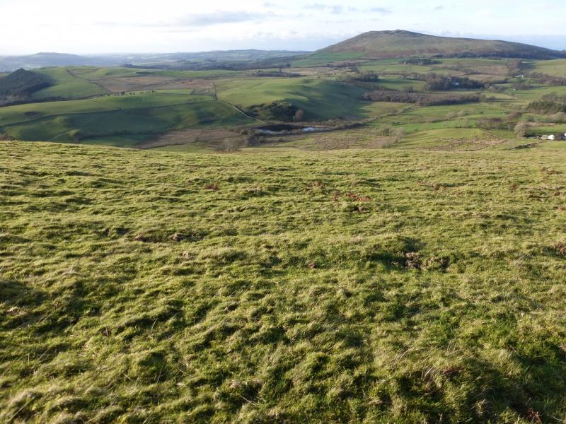
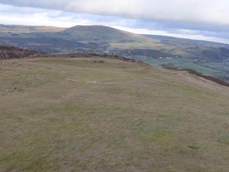
Binsey from near Fell End
Binsey from near Fell End
Start/Finish
Rough parking just inside the minor road to Fell End off the road from the Castle Inn to High Ireby at about NY 235 351. From Keswick, find the roundabout at the junction of the A66 and A591 (Carlisle). Take the A591. Follow it past the Applethwaite turnings, Dodd Wood and the Ravenstones Hotel. After about 6 miles from the A66, reach Kilnhill. Turn right just before the Castle Inn and follow it for just under 2 miles to a junction where a road goes north for High Ireby and Uldale. Within 300 m, take a minor road (almost hidden) on the left which is just after the right turning for Uldale. Park as soon as possible on the right where there is limited parking. If full, there is some rougher parking about 400 m further up the road. There is no parking at Fell End.
Distance/Time
4 km About 1 – 2 hours
Peaks
Binsey, 447 m, NY 225 355.
OS 1:50 000 Sheet 90. OL4 North Western Lakes
Introduction
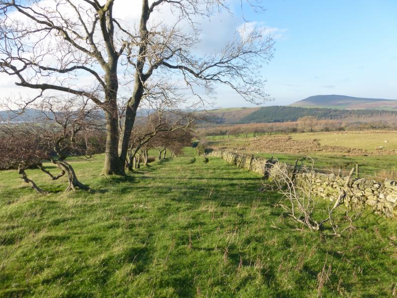
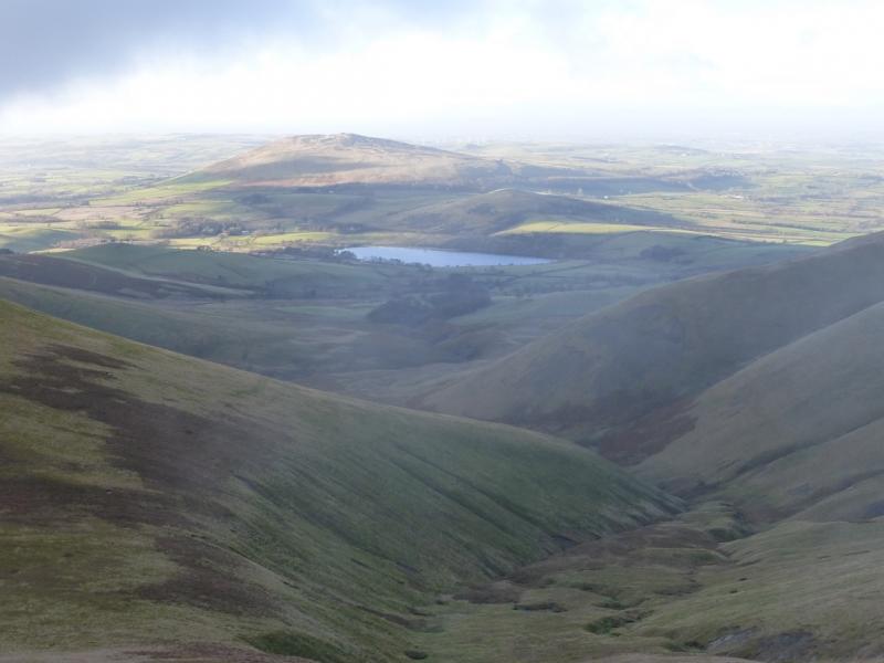
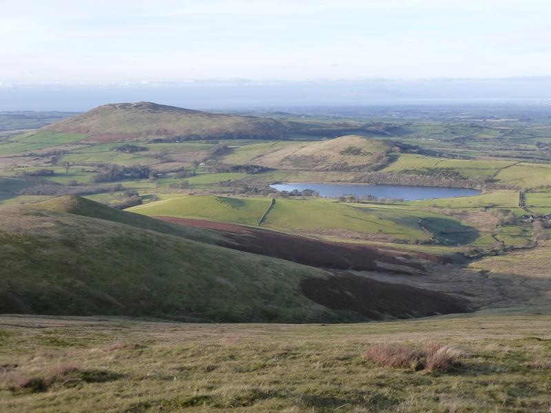
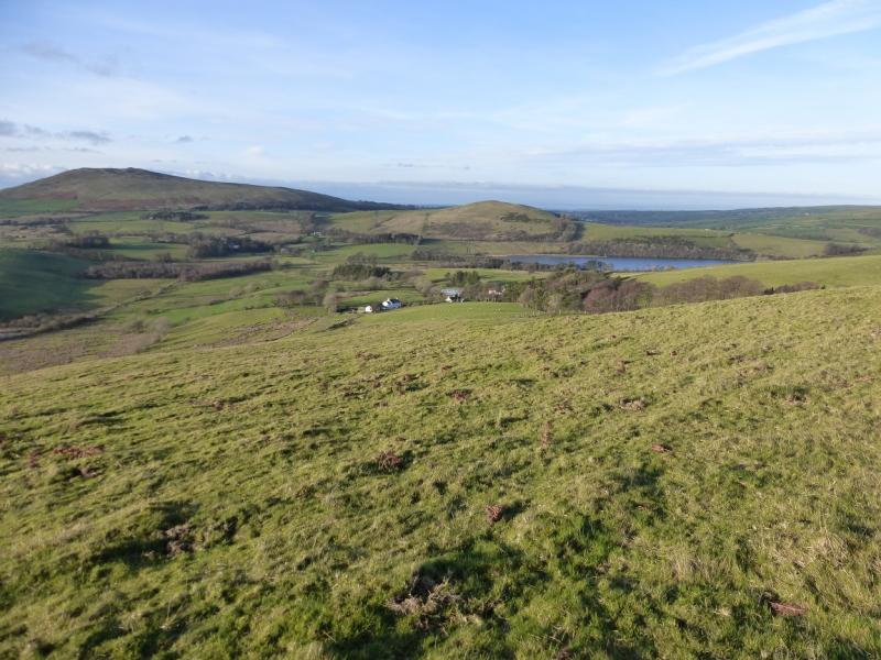
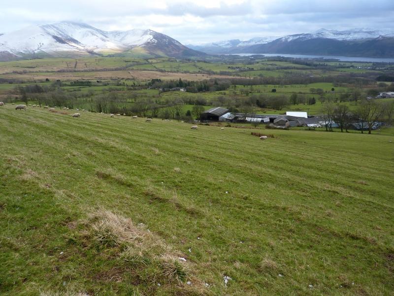
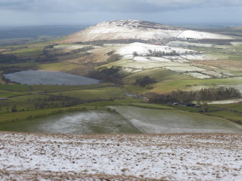
This is simple short walk but offers superb views of Skiddaw and the Great Sca Fell ranges not to mention further afield across Bassenthwaite to the Grisedale Pike range so save it for a clear day.
Route
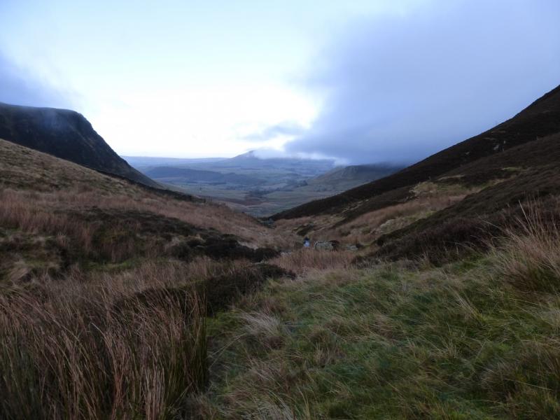
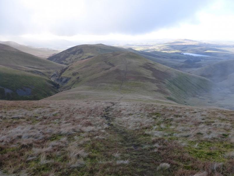
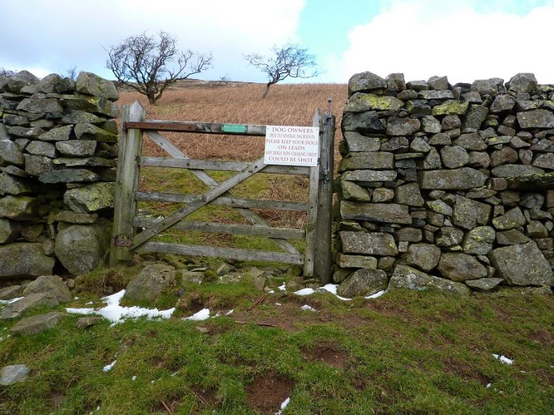
(1) Walk SW then W along the road to Fell End feeling grateful that you did not bring your car along this rough road! Just before the farmhouse, and set back slightly, is a sign post and access to the field behind the farm. Follow the sign for the public bridleway but aim for the small gate at the top of the field. Once through this, you are on the open fell and can head roughly N up rough, but easy, slopes which could have bracken lower down. A short ascent leads to flatter ground from where the summit area is clearly visible. Alternatively, contour around the open fell until a path or track is reached which goes up its W flank. One of these tracks passes just to the S of the summit area and is used for the descent. The top of the hill has several cairns, a shelter cairn and a trig point which marks the summit of Binsey, 447 m.
(2) Follow the above mentioned track ESE down to the minor road near its junction with the road to High Ireby.
Notes
(a) This walk took place on 2nd March, 2015.
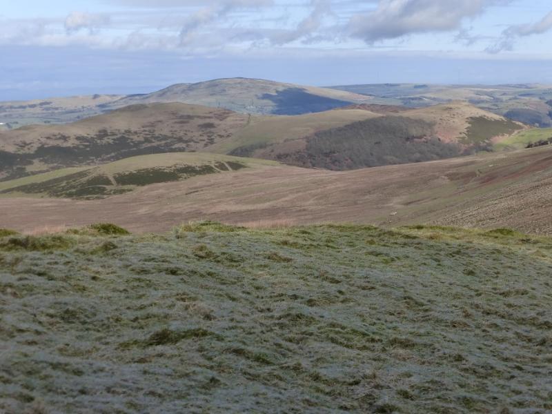
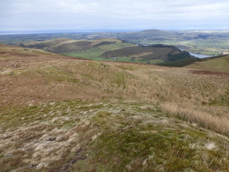
Photos - Hover over photo for caption. Click on to enlarge. Click on again to reduce.