Get Lost Mountaineering
You are here: Scotland » 03 North-west Argyll, Appin and Glencoe » Ballachulish & Connel to Loch Etive
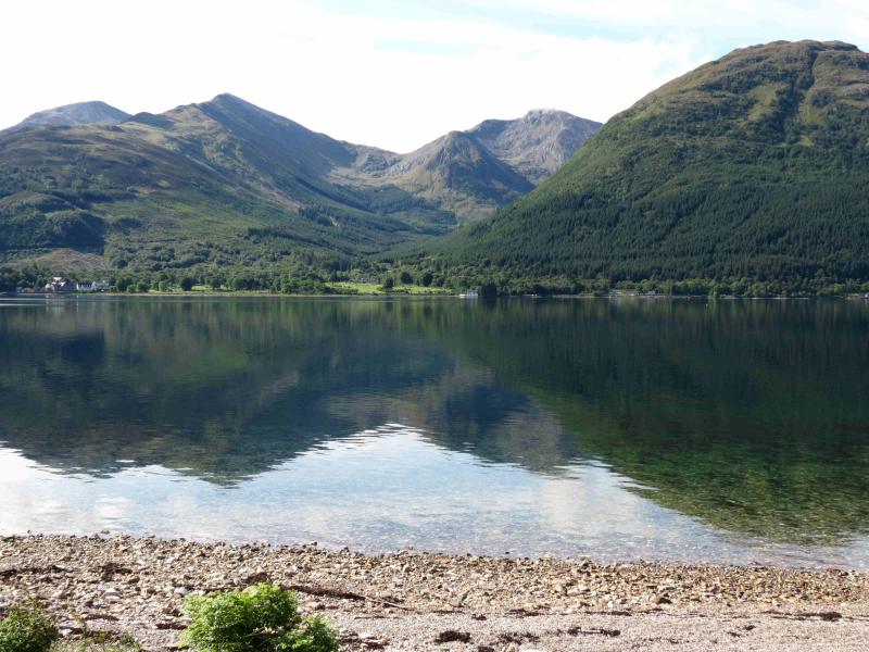
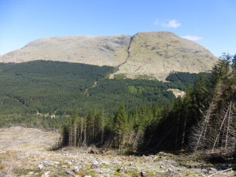
Beinn a' Bheithir
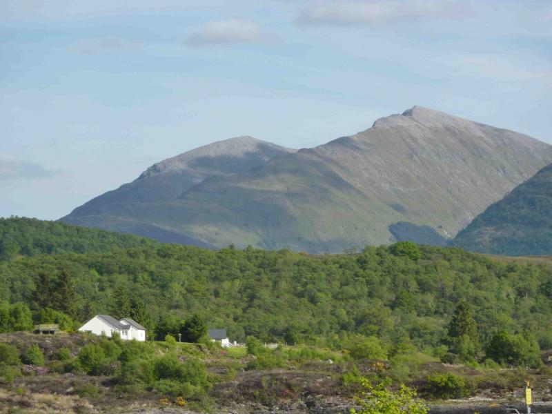
Beinn a' Bheithir from Ballachulish
Start/Finish
Car park at Tourist Information Office in Ballachulish which is signposted off the A82.
Distance/Time
17 km Approx 9 hours
Peaks
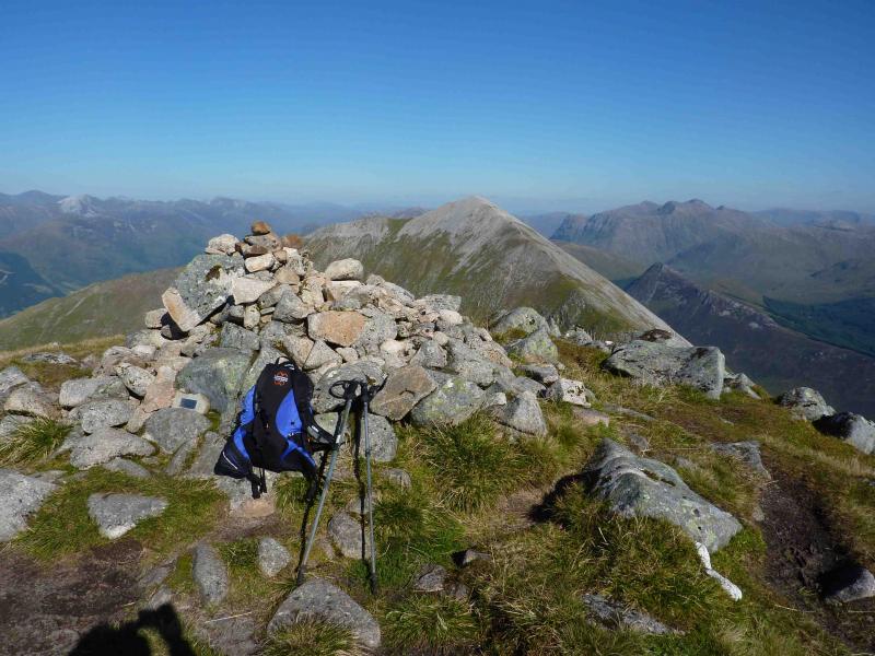
Sgorr Bhan, 947 m, NN 062 560.
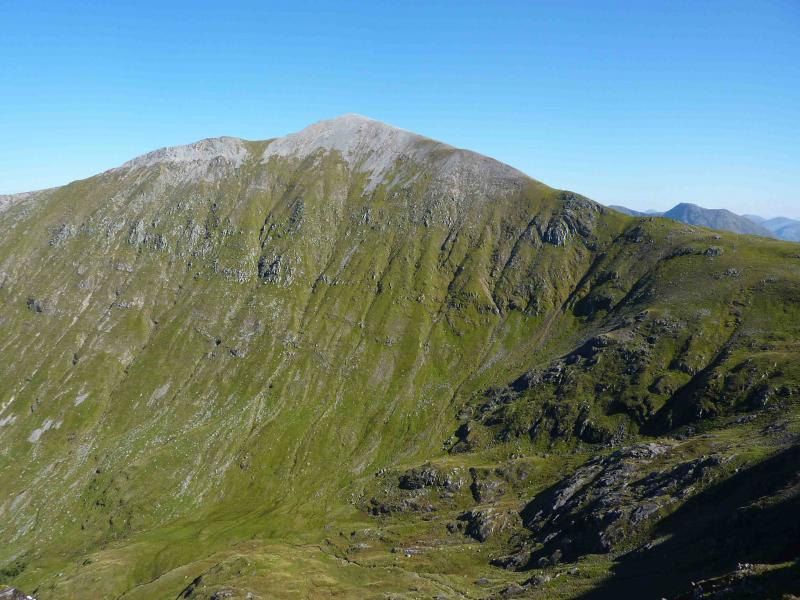
Sgorr Dearg, 1024 m, NN 056 558.
Sgorr Dhonuill, 1001 m, NN 040 555. OS Sheet 41.
Introduction
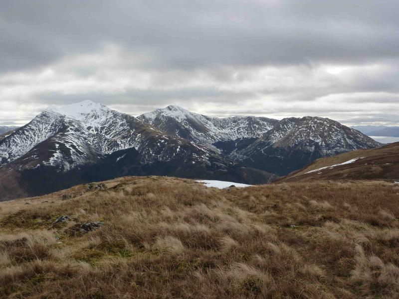
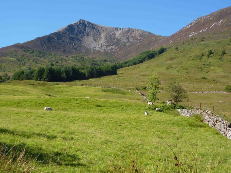
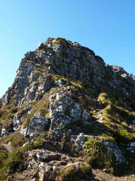
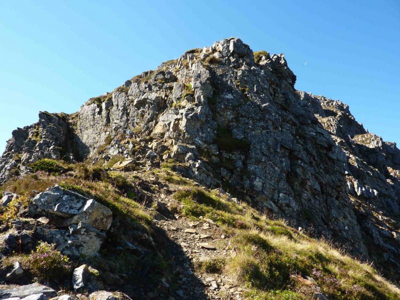
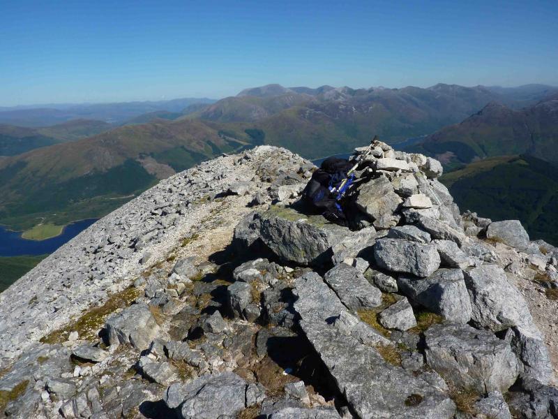
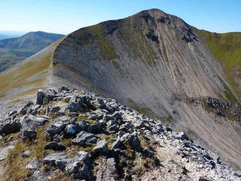
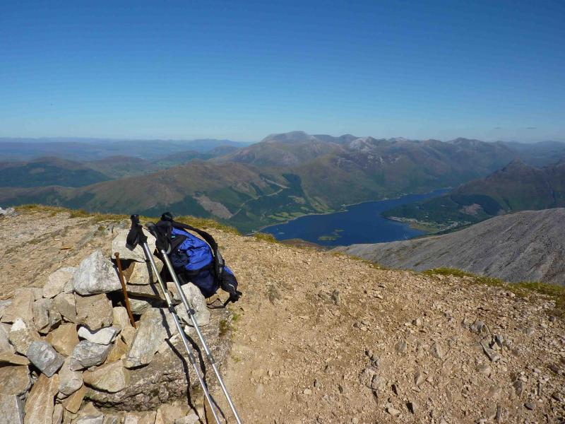
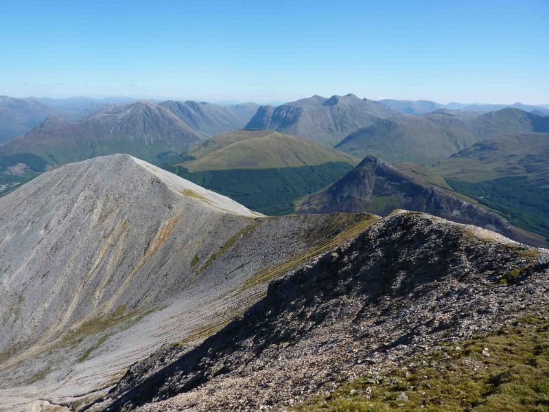
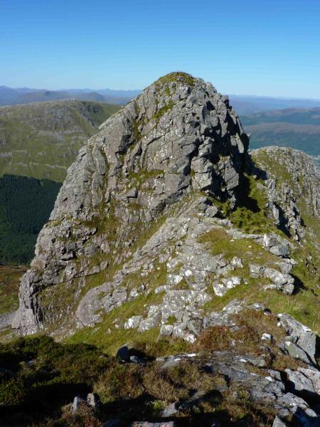
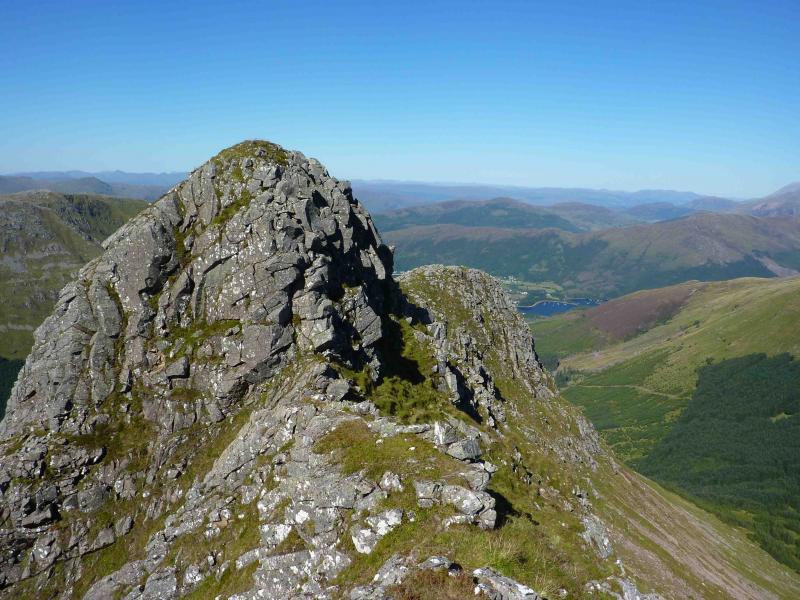
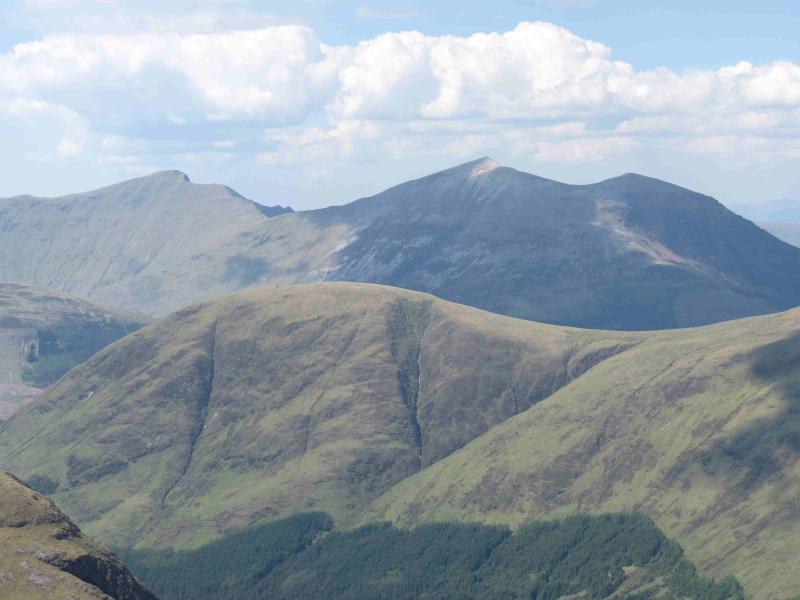
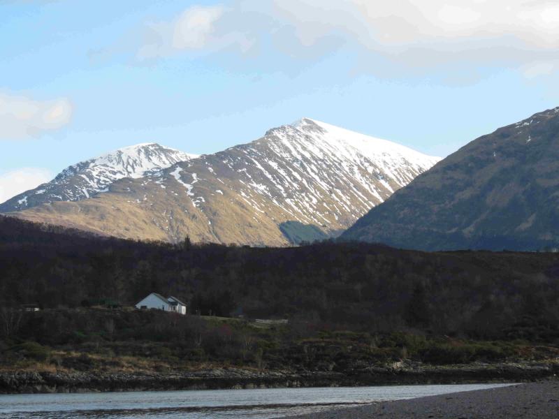
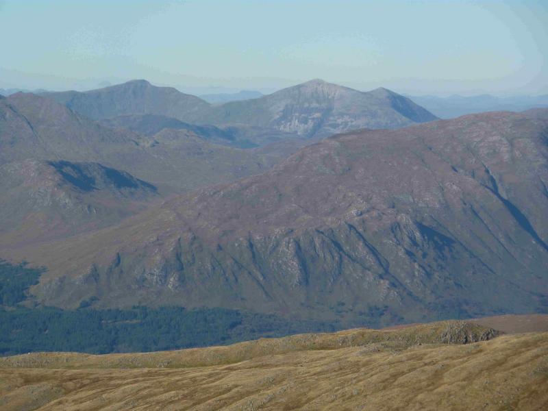
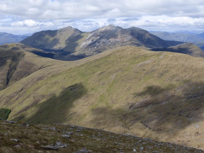
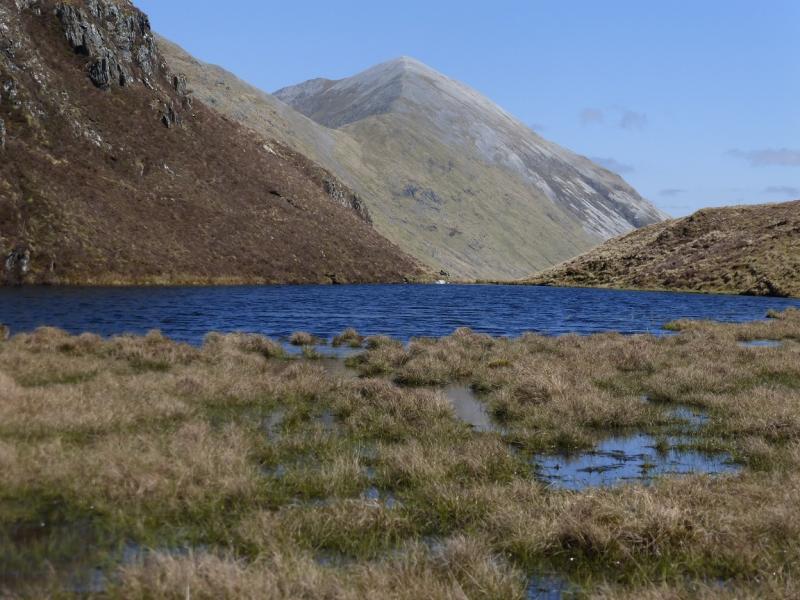
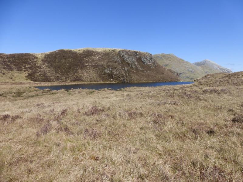
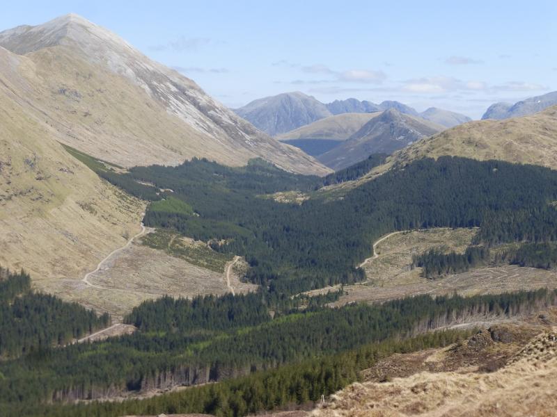
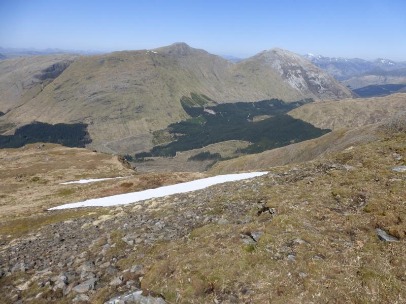
Beinn a' Bheithir dominates the view when driving S from Onich to Ballachulish. The views from the summit are outstanding with Ben Nevis, the Mamores, the Aonach Eagan, Bidean nam Bian, the mountains across Loch Linnhe and many more hills in sight. The approach up Sgorr Bhan involves 3 rocky steps which should be well within the capability of a competent scrambler. The rocky ridge which juts out so prominently from the ridge between Sgorr Dearg and Sgorr Dhonuill and is well seen from Ballachulish bridge is included in this walk.
Route
(1) Walk out of the car park on to the road and turn right past the hardware store. Turn left past the Co-op and playing fields. Cross the river and turn left to go past the school. Walk to the end of the road and continue on the track through some gates. Just after a rusty old gate, look for a path on the right going up towards the obvious ridge. Follow this path up the hillside. It is good in places with the odd boggy patch but the going improves as height is gained and the ridge becomes more defined. As the ridge becomes increasingly more rocky, three rock steps are encountered with the second being the most difficult but none are worse than moderate scrambles when dry. At each step, there seems to be an avoiding path going off to the left. Once the rocky steps are passed, the going becomes much easier and soon the large summit cairn of Sgorr Bhan, 947 m, is reached.
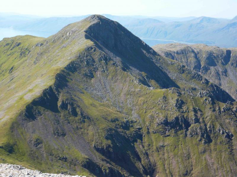
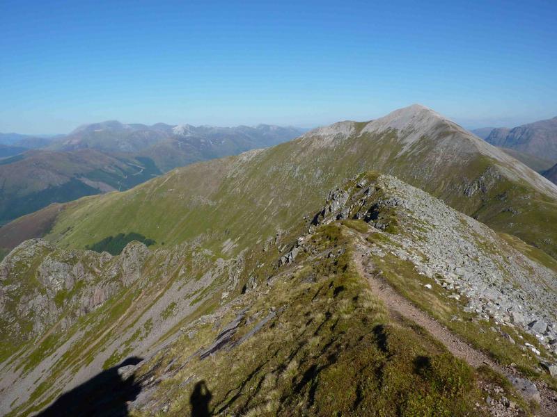
(2) Descend SW on an obvious path along the scenically attractive curving ridge to reach a bealach then ascend to the large summit cairn of Sgorr Dearg, 1024.
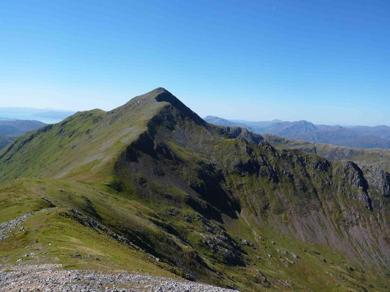
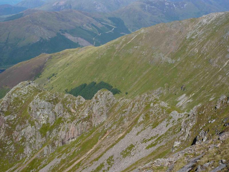
(3) Descend WSW, still on a good path, to a grassy bealach. Go to the right hand (N) edge and ascend a few metres to locate a faint path which traverses around the NE corrie of Sgorr Dhonuill to reach the N ridge coming off the E ridge of Sgorr Dhonuill. Walk N along this well defined ridge. The obvious tower is most easily climbed by traversing below it on the right (E) then ascending from the N by a route which is little more than a path. N of the tower are a few more summits, the last sporting a small cairn before the ridge plunges to the glen. This is the rocky ridge which juts out so prominently when viewed from the area of the Ballachulish bridge. Retrace back along the ridge to join the E ridge of Sgorr Dhonuill and ascend the well defined path to reach the large summit cairn of Sgorr Dhonuill, 1001 m.
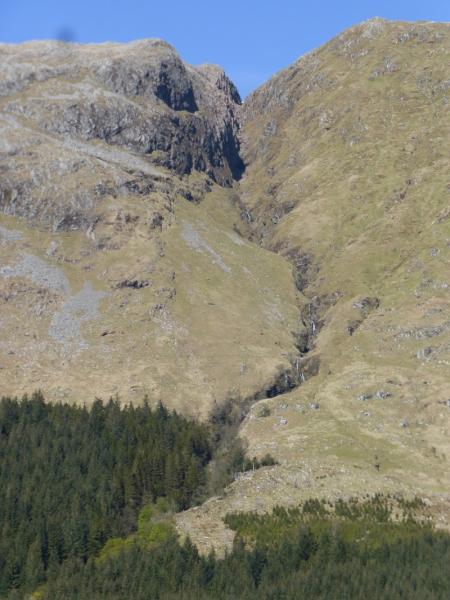
(4) Descend W on an obvious path, level at first, keeping close to the right hand (N) edge. The path becomes faint in places but the edge is a good guide. Soon it starts to drop off the ridge and heads towards an obvious wide sandstone scree gully. Descend the gully with caution as it is now quite loose and unstable. Reach more grassy terrain and follow the path, faint in places, down and into the forest to join a track. Follow the track on the right (E) of the river and follow this down and round (E) to reach the A82 road just before the church at NN 067 585. Follow the road back to the start.
Notes
(a) This walk took place on 2nd September, 2010.
Photos - Hover over photo for caption. Click on to enlarge. Click on again to reduce.