Get Lost Mountaineering
You are here: England » Lake District » 1 Eastern Fells
Gowbarrow via Aira Force, Norman Crag & NW Flank from Aira Force Car Park
Gowbarrow via Aira Force, Norman Crag & NW Flank
from Aira Force Car Park
Start/Finish
Main Aira Force car park about 100 m east of the junction of the A5091 and A592 (re-opened March 2014). The junction is about 2 miles east of Glenridding on the A 592. If it is full there are two smaller car parks some way up the A5091 towards Dockray. All car parks are owned, as is Aira Force, by the National Trust so there wil be charges for non-members. There are toilets in the main bottom car park.
Distance/Time
6 km About 2 - 3 hours
Peaks
Gowbarrow Fell, 481 m, NY 407 218.
OS 1: 50 000 , Sheet 90. OS 1: 25 000 Outdoor Leisure 5, English Lake District NE Area.
Introduction
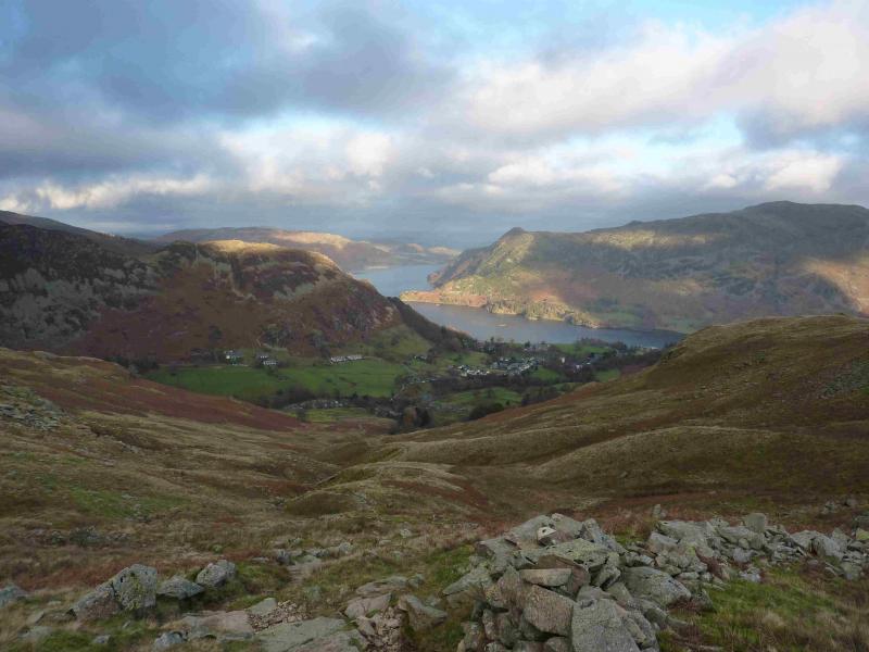
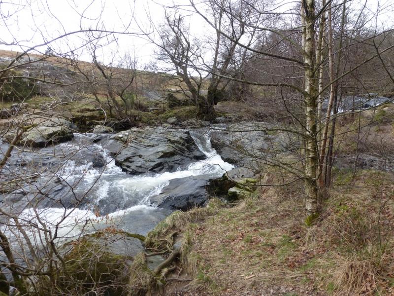
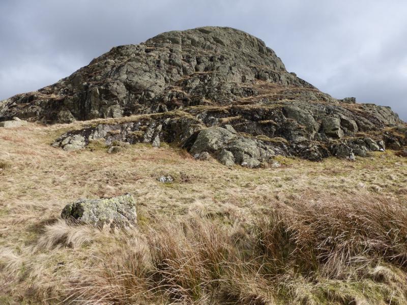
This is a shortish walk, ideal for a mid-winter's day and is a variation on the more scenic of the two previously posted walks up Gowbarrow. There are no steep sections although there are scrambling opportunities on Norman Crag and the return path may seem exposed to some in places. On a clear day, views are extensive and include Place Fell (across Ullswater), Glenridding Dodd and Sheffield Pike and others nearby. The route includes the most interesting sections of Aira Force Beck. This walk is best kept for a clear day to enjoy the views. The section alongside Aira Force Beck is best in winter as one can see much more of the beck and falls when there are no leaves on the trees. Note that this route involves climbing over two stone walls, each about 1.5 m high. If you cannot do this without causing any damage, however slight, to the walls then this route should be avoided.
Route
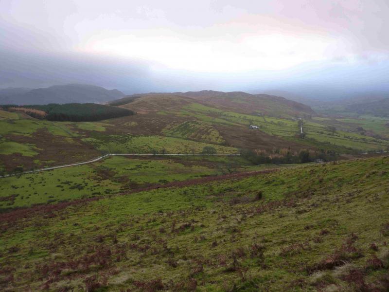
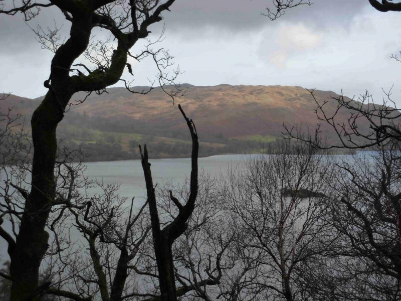
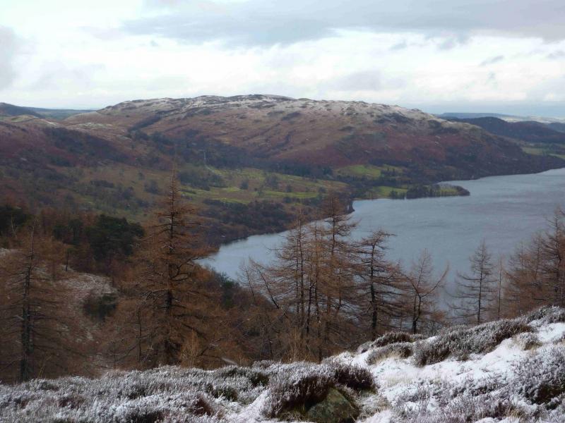
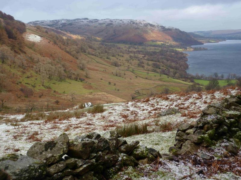
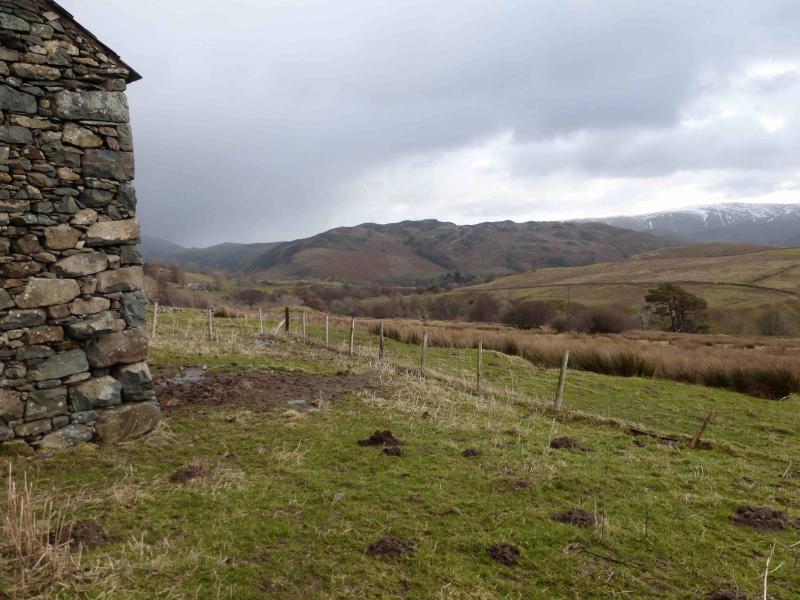
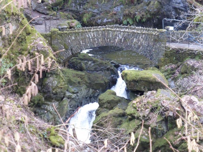
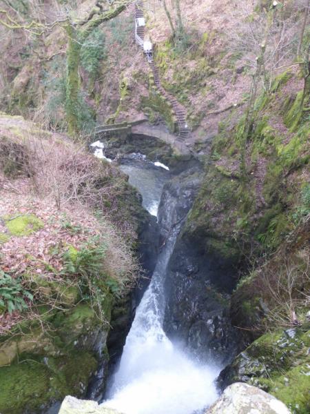
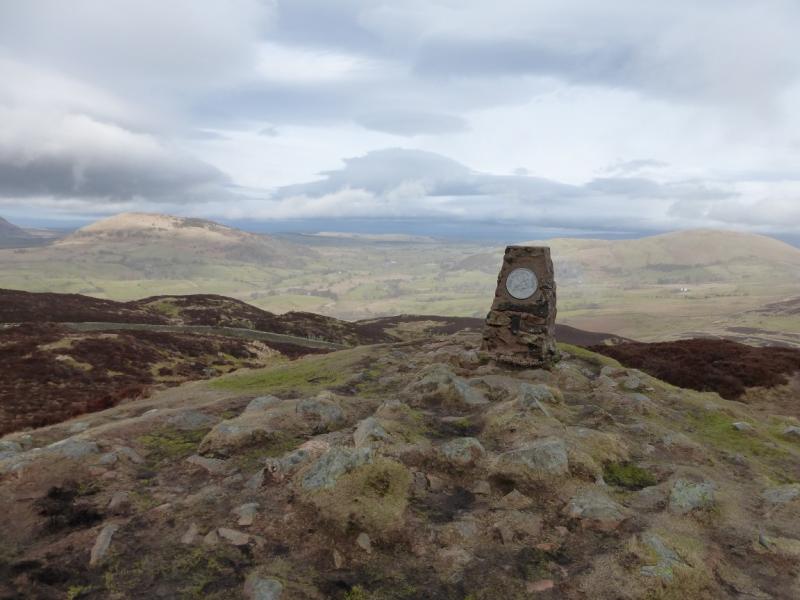
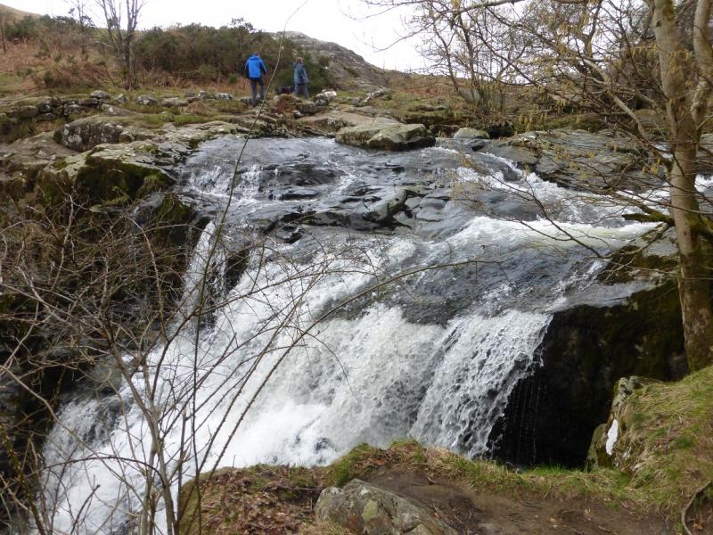
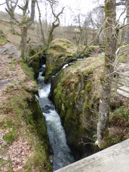
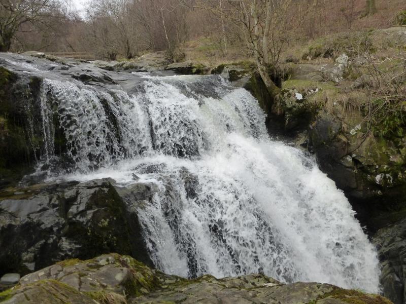
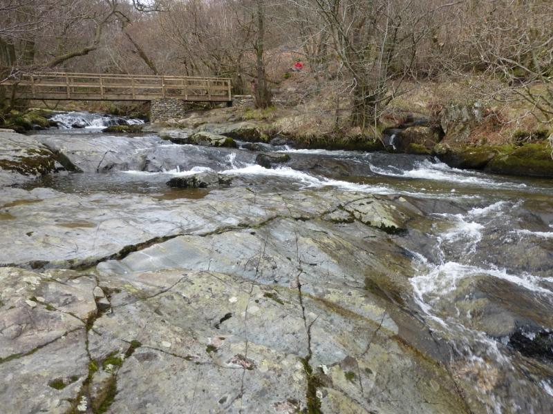
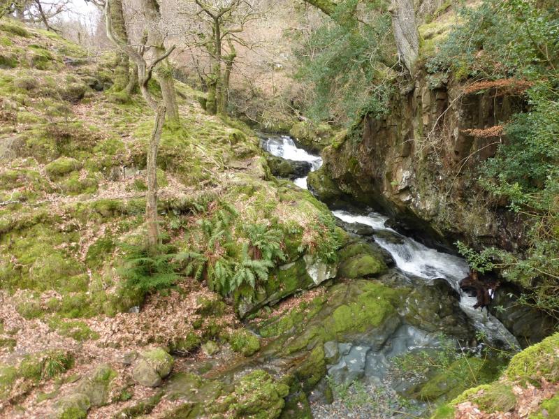
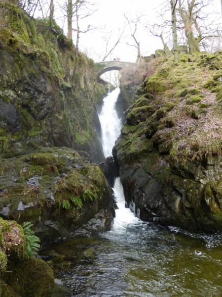
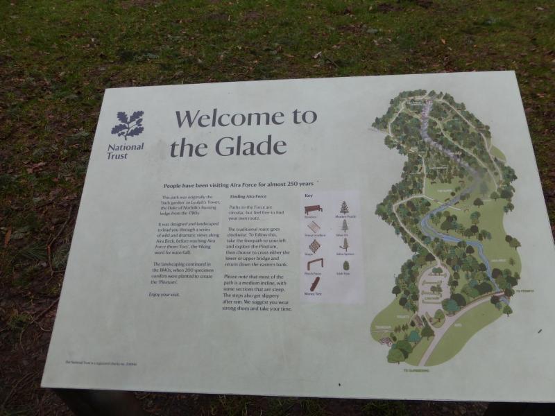
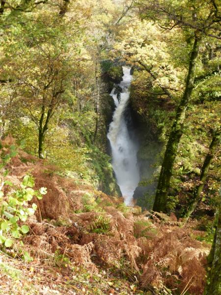
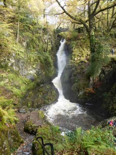
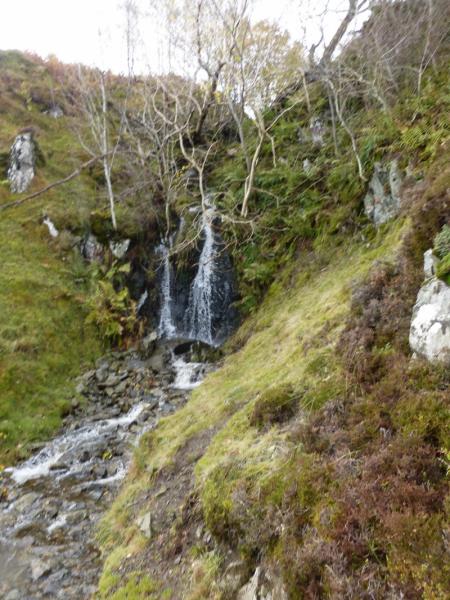
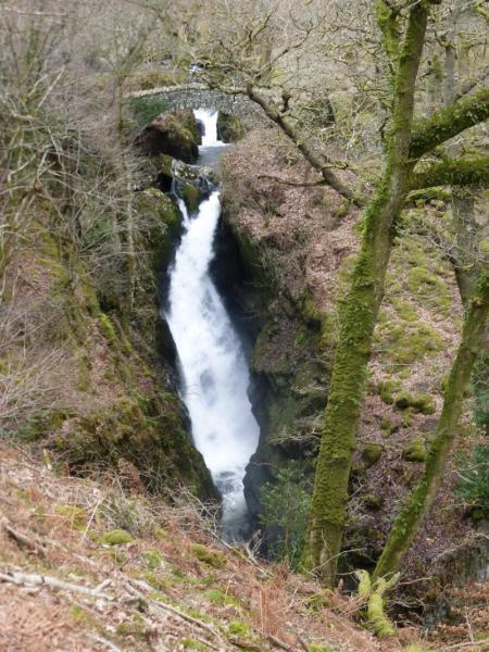
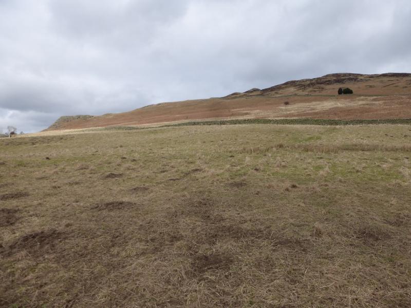
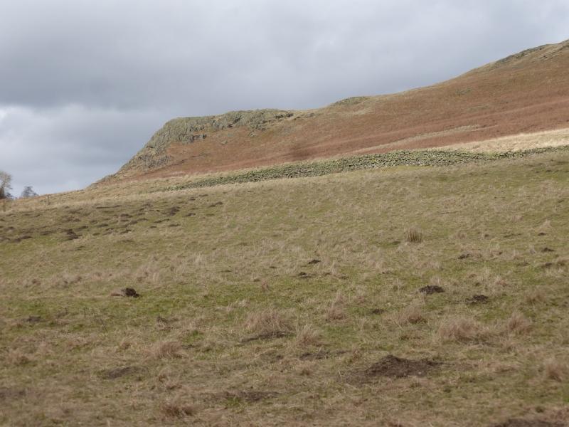
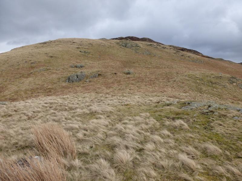
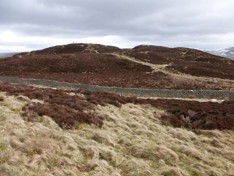
(1) From the bottom main car park, walk up the obvious path to reach a grassy area known as The Glade where there is a useful notice and map of the paths on both sides of Aira Force Beck. Take the path going left which soon follows the beck which will be on your right. Soon reach a stone bridge over the beck from where one can look up the impressive Aira Force main waterfall. Continue to the second stone bridge then continue up either side of the stream. If going up the left hand side, the next bridge up will need to be crossed. Continue until the bottom of a wood is reached at a wall. Continue ahead for about 400 m on the path signed for Dockray until the obvious Norman Crag is reached. This is well seen on the approach. The crag offers many scrambling possibilities but these can be avoided by the grass on its right, S, side. Once above the crag, continue up the grassy ridge to the first wall. Beyond this, the ground becomes more heathery but try to stay on the crest where there is a faint path. The hummocky ridge gradually curves around to the SE and the second wall has to be crossed to reach the main path which continues easily to reach the trig point which marks the summit of Gowbarrow Fell, 481 m.
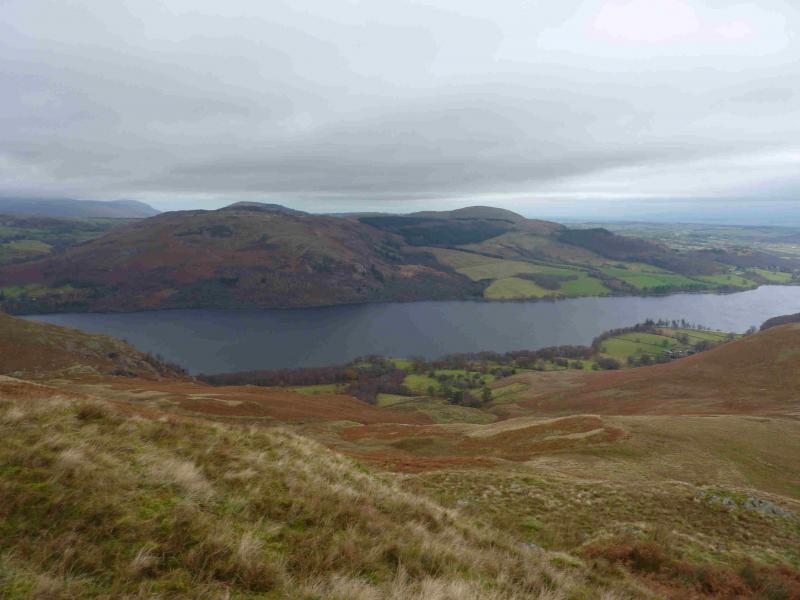
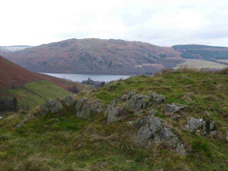
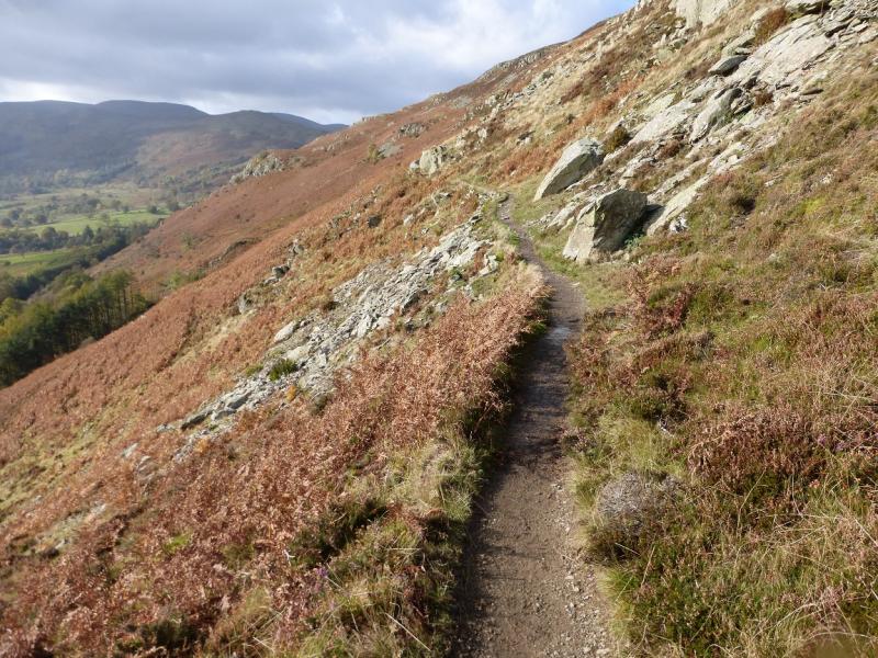
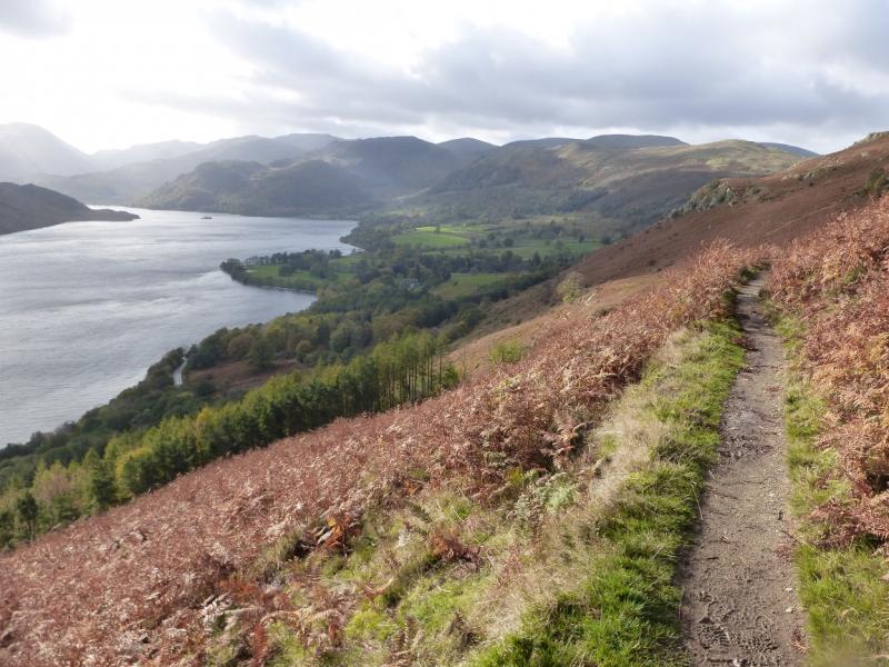
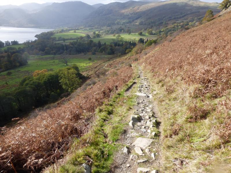
(2) Descend roughly E on an obvious path directly from the summit but there is now a new path further to the left which is best reached by retracing slightly from the summit then following it down. The path is very obvious and goes E then S giving good views across Ullswater before turning W. The path crosses the foot of a small waterfall without difficulty and has a gentle gradient but there are a few places where there is a significant drop on the left (lake side). At one point, a short detour of about 30 m, takes one to a cairn which is a splendid viewpoint. Return to the main path after this diversion. Follow the path down to where it splits. Fork left through a narrow gate and follow this path down to the bottom bridge, across which is The Glade. Walk easily back to the car park.
Notes
(a) This walk took place on 5th March, 2015.
Photos - Hover over photo for caption. Click on to enlarge. Click on again to reduce.