Get Lost Mountaineering
You are here: England » Lake District » 2 Far Eastern Fells
Branstree, Selside Pike & Hare Shaw from Swindale
Branstree, Selside Pike & Hare Shaw from Swindale
Start/Finish
Small off road rough car parking area before Swindale Foot. From Penrith, take the A6 south to Eamont Bridge then turn off for Yanwath (Pooley Bridge road) then turn off south for Askham. Go through Butterwick then fork left at Bampton but do not cross the river into Bampton Grange. Instead follow the road on the SW side of the river for about a mile then take the right fork for Swindale. Follow this until the car parking is reached where there is a prominent notice stating there is no parking beyond this point.
Distance/Time
15 km About 5 - 6 hours
Peaks
Branstree, 713 m, NY 478 100.
Selside Pike, 655 m, NY 490 112.
Hare Shaw, 503 m, NY 497 132. OS 1: 50 000, sheet 90.
OS 1: 25 000 Outdoor Leisure 5, English Lake District NE Area.
OS 1: 25 000 Outdoor Leisure 7, English Lake District SE Area.
Introduction
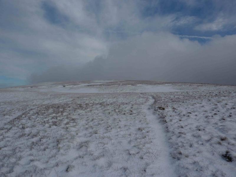
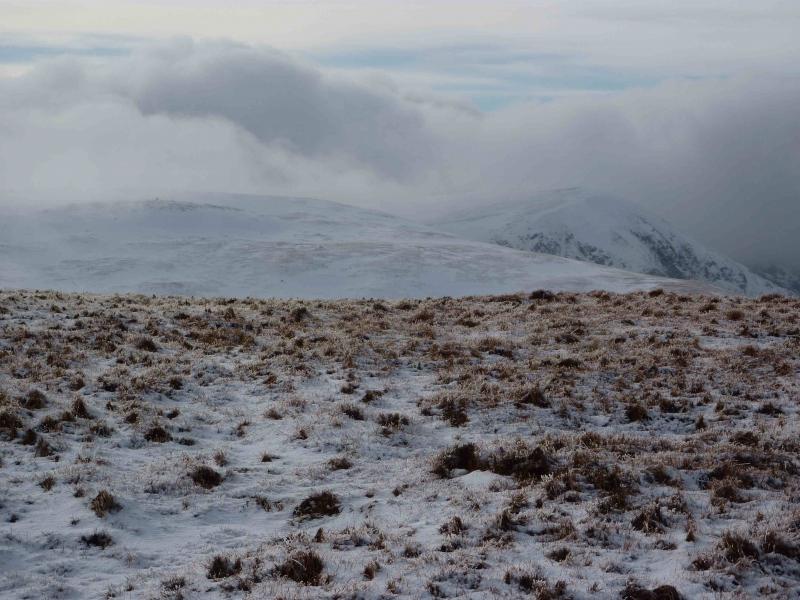
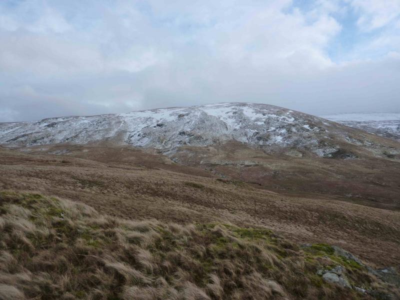
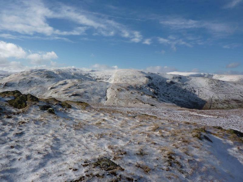
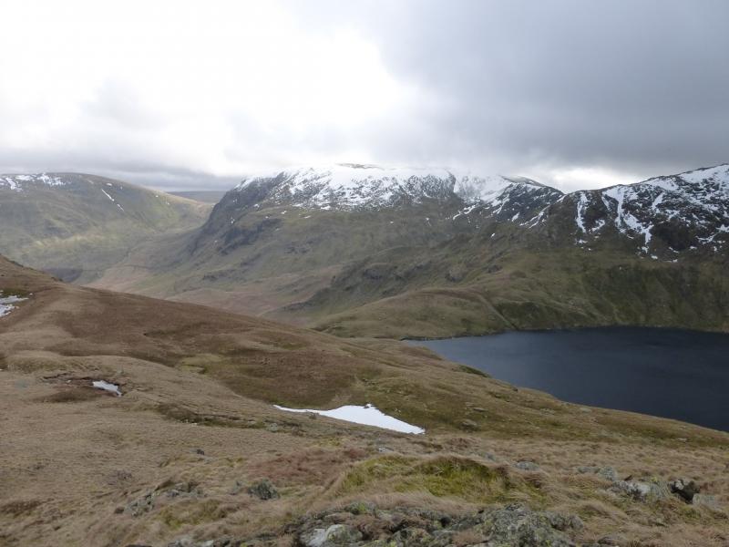
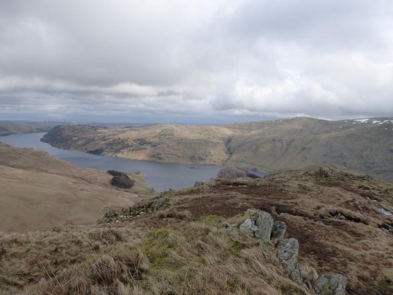
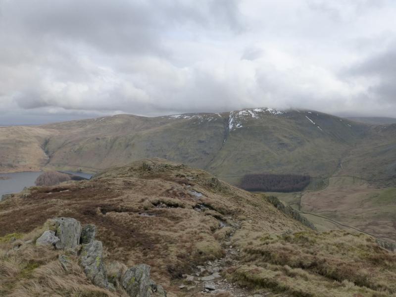
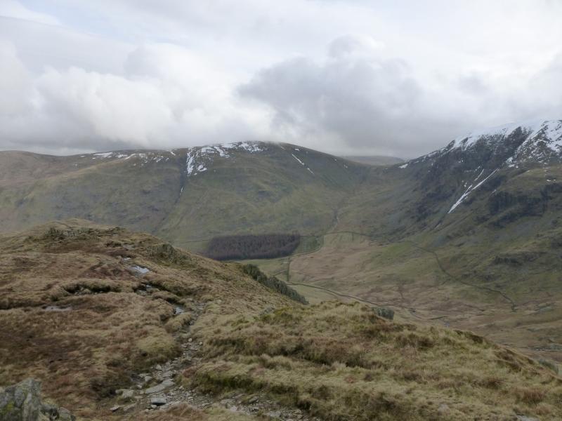
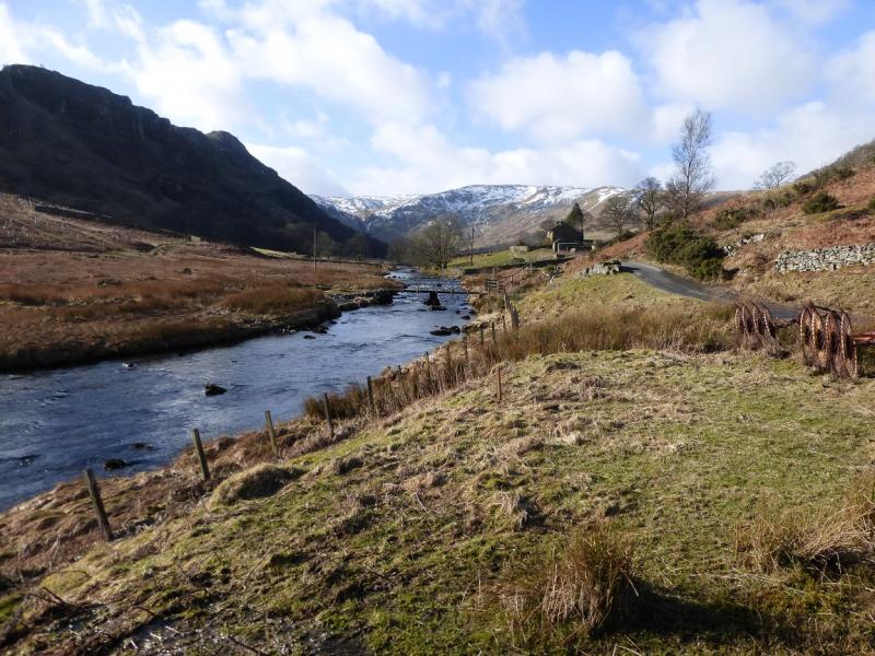
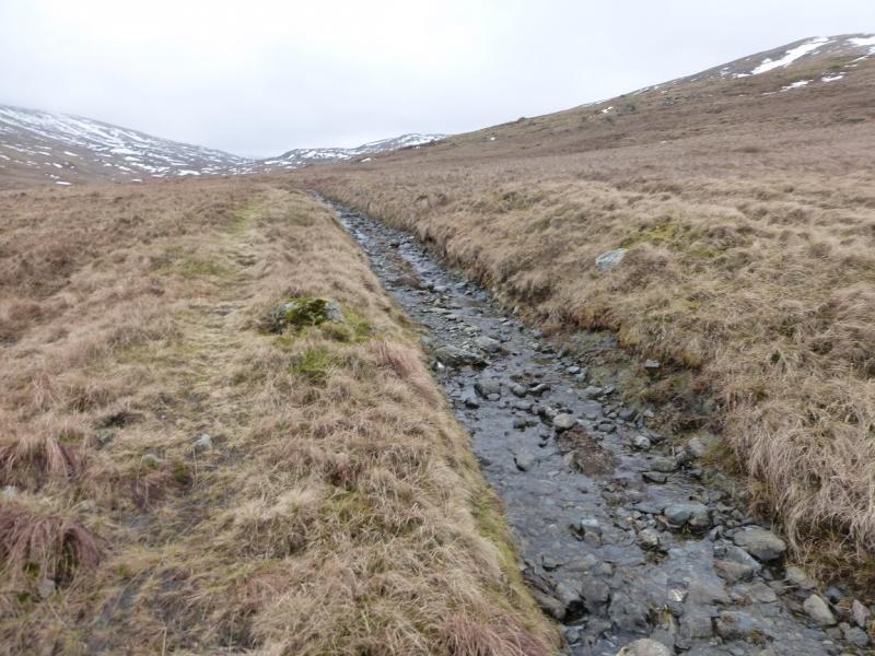
Swindale is a lovely unspoilt valley which has no tourist attractions whatsoever. This is a very pleasant walk but sections of it can be quite wet, especially in winter, so this walk is probably best attempted in either a summer dry spell or when the ground is frozen. Mosedale is very wild and desolate with few features so this walk is best tackled in clear weather. On a clear day, the views are excellent especially to nearby fells such as Harter Fell, Tarn Crag and Wether Howe but the finest views are towards High Street and especially the rough Crag and Long Stile ridge, Kidsty Pike and High Raise. The length of this walk is ideal for a short winter's day and it is not too demanding in winter conditions as there are no steep slopes or crags to worry about.
Route
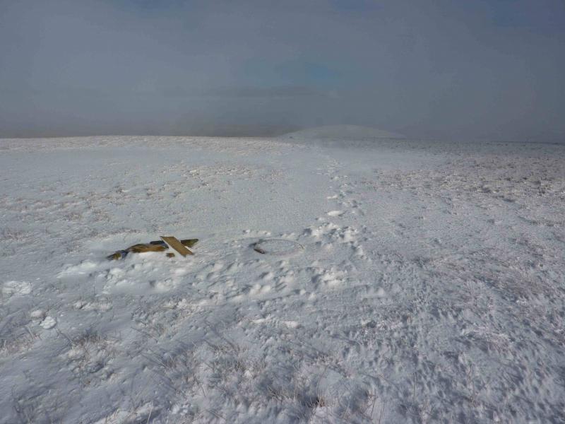
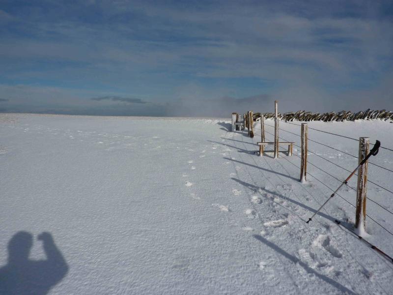
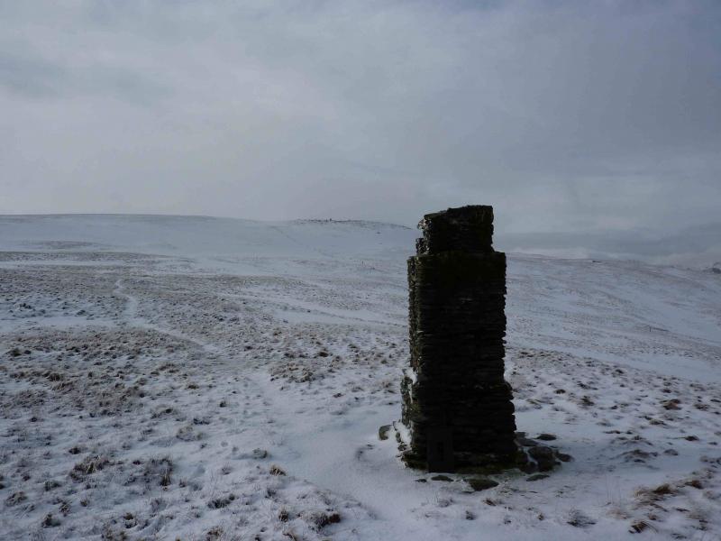
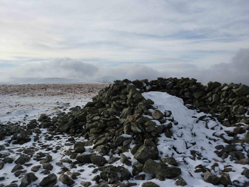
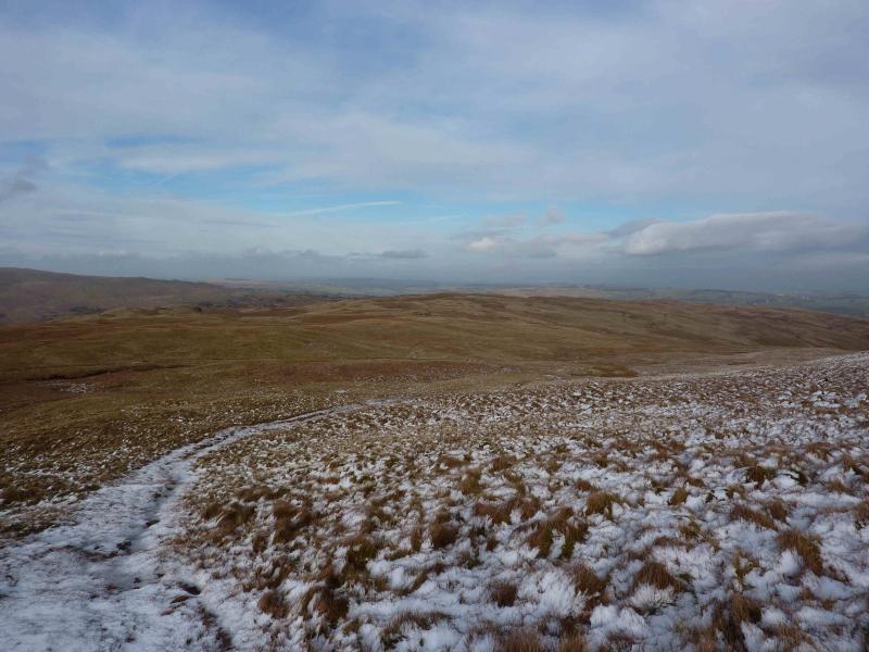
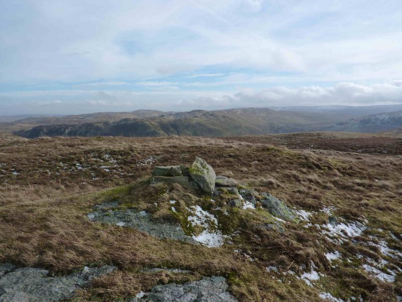
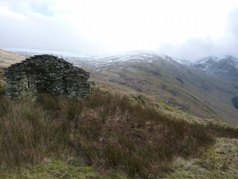
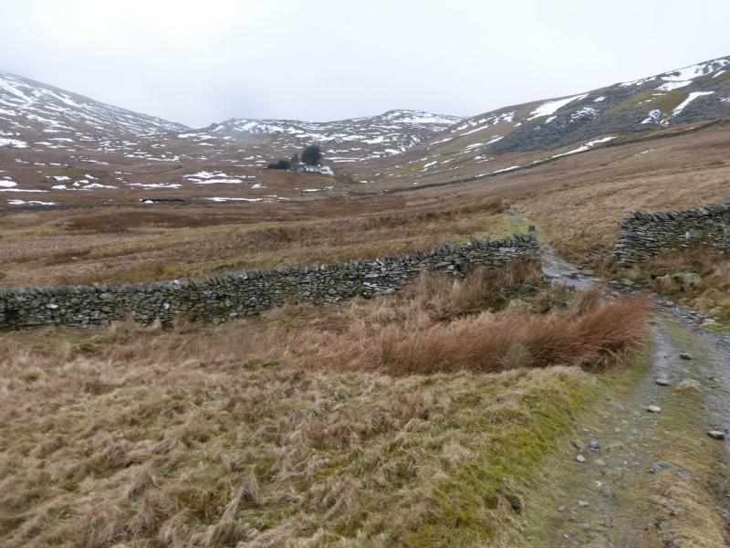
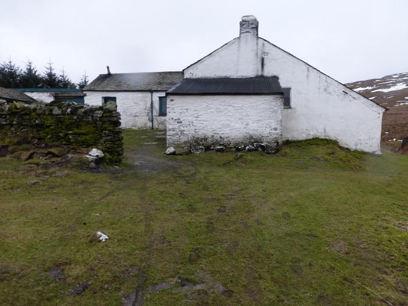
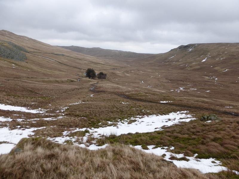
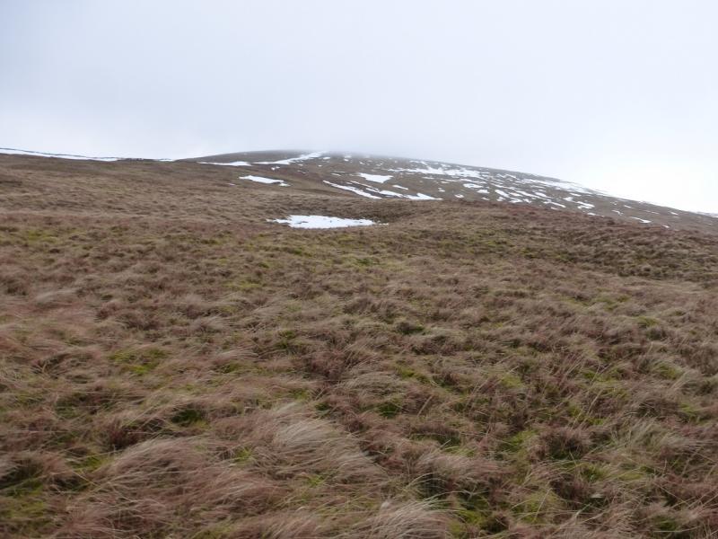
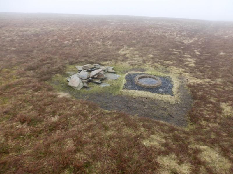
(1) Walk up the road in Swindale to its end then continue along the stony bridleway which soon becomes grassy, and often wet as it climbs out of Swindale. In places, the track resembles a ditch! When the “track” levels out, continue to follow it S, keeping well to the W of Mosedale Beck. The main track goes through a gate in a fence with no stile elsewhere. Continue on the main path/track and aim, roughly, for the foot of Brunt Tongue which is easily spotted, in good weather, by its small wood – the only wood around. When Mosedale Beck splits, take the right fork and follow the path until it joins a good track coming from the main bridge across Mosedale Beck. The track leads to Mosedale Cottage. A wide and shallow stream is crossed close to the cottage and this might need a detour upstream after heavy rain. Mosedale Cottage is now a bothy under the care of the Mountain Bothies Association. It is in good condition and is the only decent shelter on this walk. On 6/3/15, there were even armchairs in one of the rooms. There is a “toilet” of sorts off the yard. Continue past the cottage and follow a rough ATV track W up the ridge ahead. This can become difficult to follow higher up. One can gradually curve around more to the NW and a wall will be met which leads to the summit. There is a path on both sides but the more obvious one is on W side of the wall. The wall leads to a fence/wall junction. About 30 m beyond is a tiny cairn which marks the summit of Branstree, 713 m. There is also a circular base stone nearby. Note that a heavy snow fall may hide the cairn!
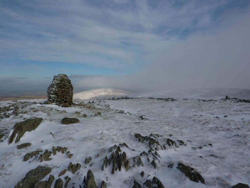
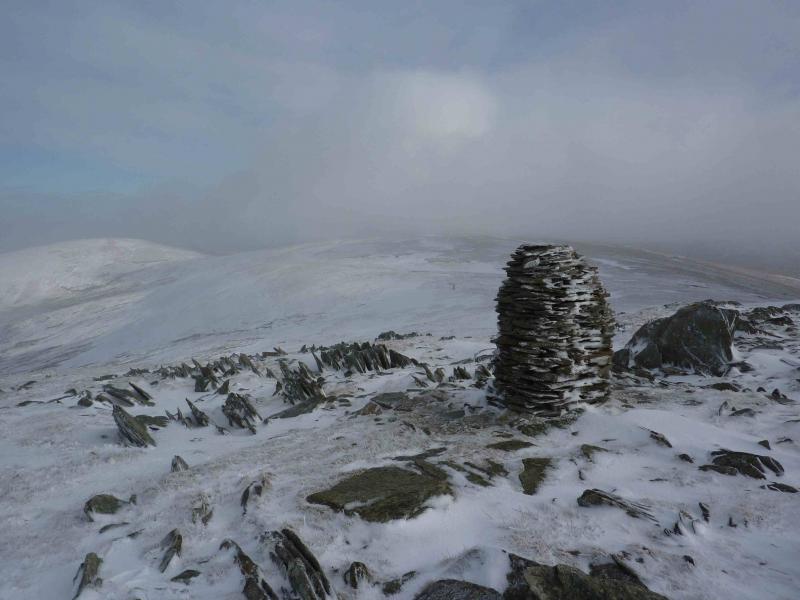
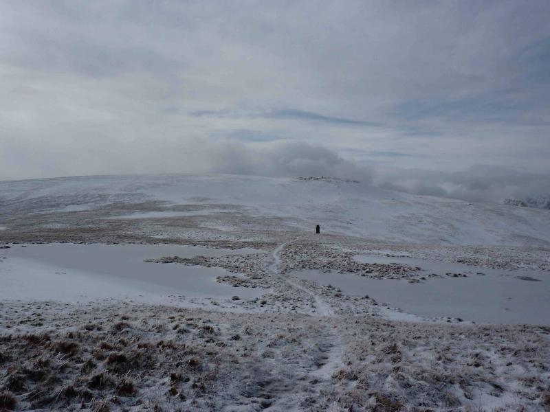
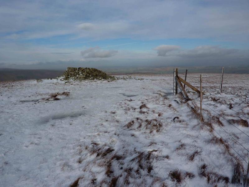
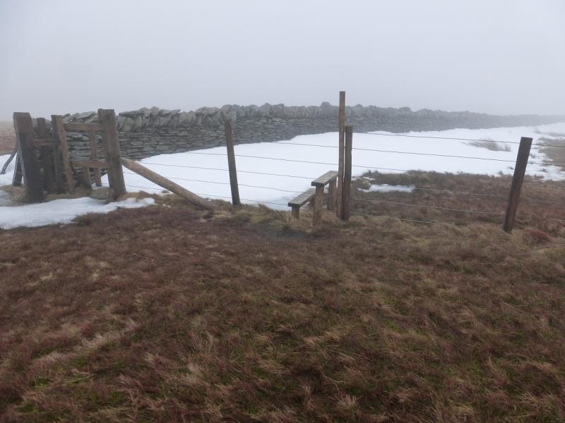
(2) The fence going right, NE, can be followed to the summit of Selside Pike but this is not the best route. From the summit, descend roughly NE to a large stone pillar cairn then continue, more easterly to a second cairn then cross the fence (on your right) to reach a tall pillar cairn. From here a path leads up on to the unnamed top where there is a tiny cairn. Descend NNE to a broad, but boggy col, driest to the right, then follow the path and the fence again up to the fence corner just short of a large shelter cairn which marks the summit of Selside Pike, 655 m.
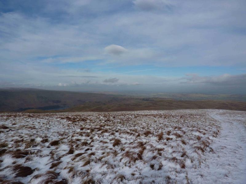
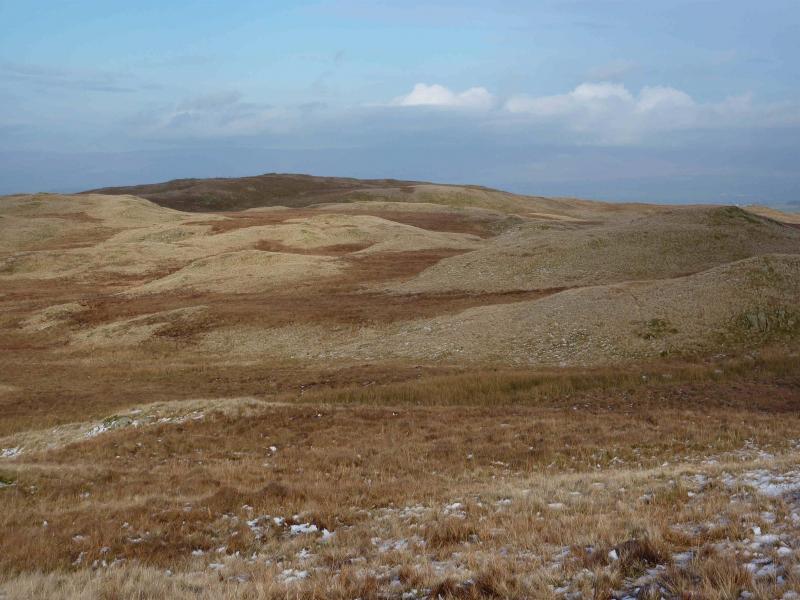
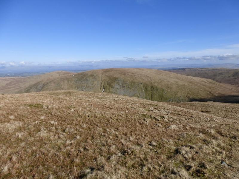
(3) There are various paths and tracks off Selside Pike so choose the one nearest to NNE and follow it down Selside End to cross the Old Corpse Road by a wooden post. The summit of Hare Shaw sits on a long ridge and is not distinctive from the summit of Selside Pike but becomes more obvious as one descends Selside End. From the wooden pole, continue roughly NNE again with a choice of paths. The terrain undulates slightly but there is no steepness and Hare Shaw becomes more obvious the closer one gets. A final gentle ascent leads to a small cairn which marks the summit of Hare Shaw, 503 m.
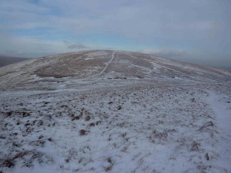
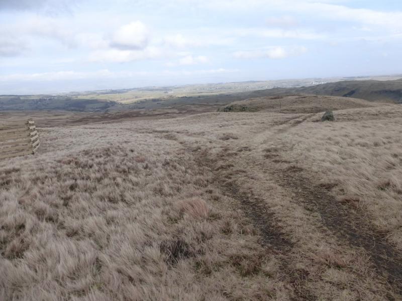
(4) Continue along the grassy and undulating ridge, heading NE over Powley's Hill and on to Long Rigg. There is a fairly obvious ATV track along the ridge. Later on, between a small wooden fence enclosure, on the left, and a single small boulder, on the right, the track splits. Take the right fork and go right at any further junctions and you will find yourself on a track leading down to the road in Swindale to the N of Gouther Crag. Walk back along the road to the start.
Notes
(a) This walk took place on 6th March, 2015.
Photos - Hover over photo for caption. Click on to enlarge. Click on again to reduce.