Get Lost Mountaineering
You are here: England » Lake District » 2 Far Eastern Fells
Wansfell Pike via Stockghyll Force and Hundred's Road from Ambleside
Wansfell Pike via Stockghyll Force and Hundred's Road
from Ambleside
Start/Finish
Park anywhere in Ambleside centre. Free all day parking is extremely limited and difficult to find. There are several expensive Pay and Display car parks.
Distance/Time
8 km About 3 - 4 hours
Peaks
Wansfell Pike, 484 m, NY 394 041. OS 1 : 50 000 , sheet 90.
OS 1 : 25 000 Outdoor Leisure 7, English Lake District SE Area.
Introduction
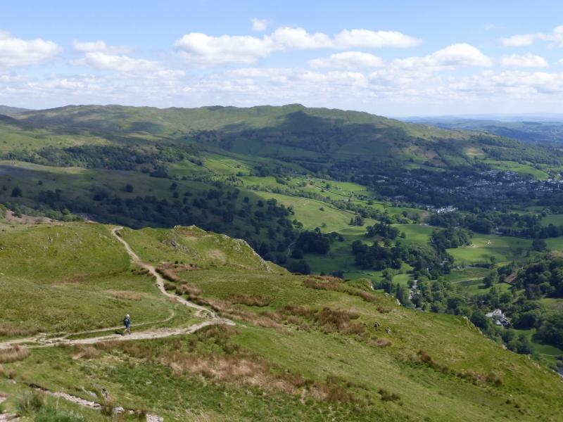
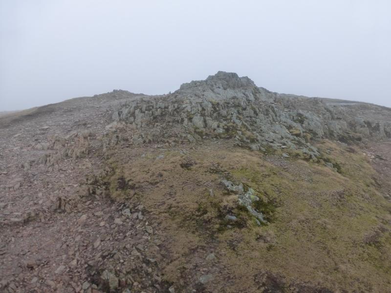
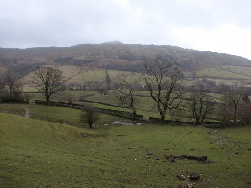
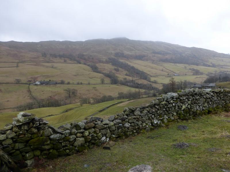
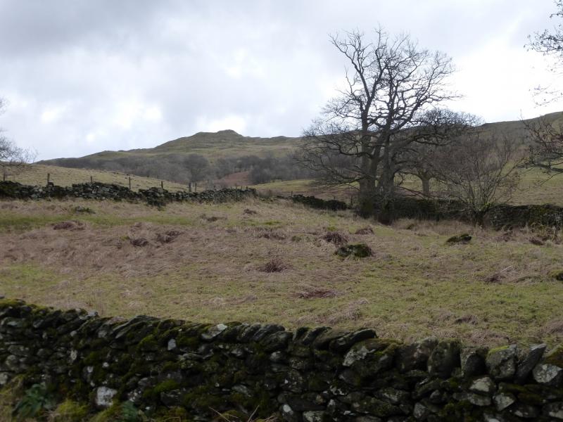
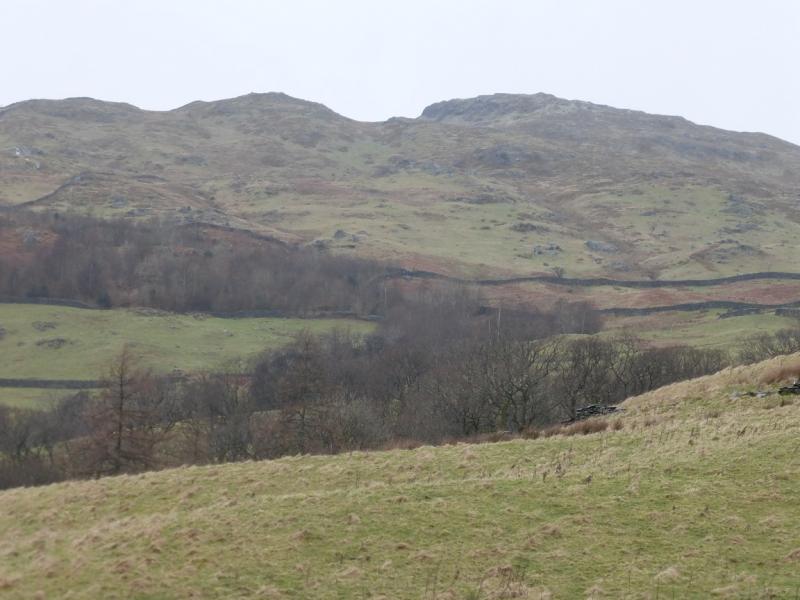
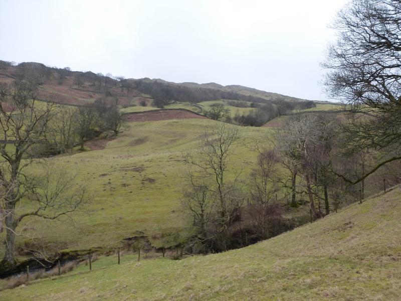
This is probably the shortest circuit which includes Wansfell Pike. It is a pleasant walk – in places (!!!) – with excellent views on a clear day which include parts of the Fairfield and Kentmere Horseshoes, Red Screes, Caudale Moor, the Langdale Pikes and Windermere. Note that there is no cairn or trig point (shown on some maps) on the summit of Wansfell Pike. It would seem to be an ideal place for a viewfinder cairn. There is a very boggy section on this walk from a gate on the descent to the lane known as Hundred's Road; this lane is also boggy in places.
Route
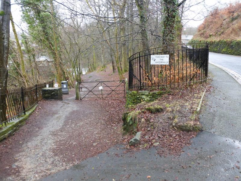
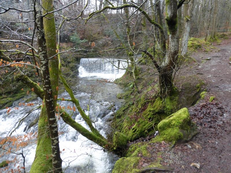
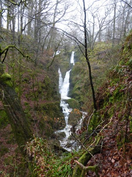
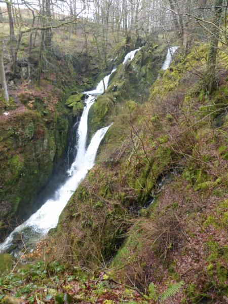
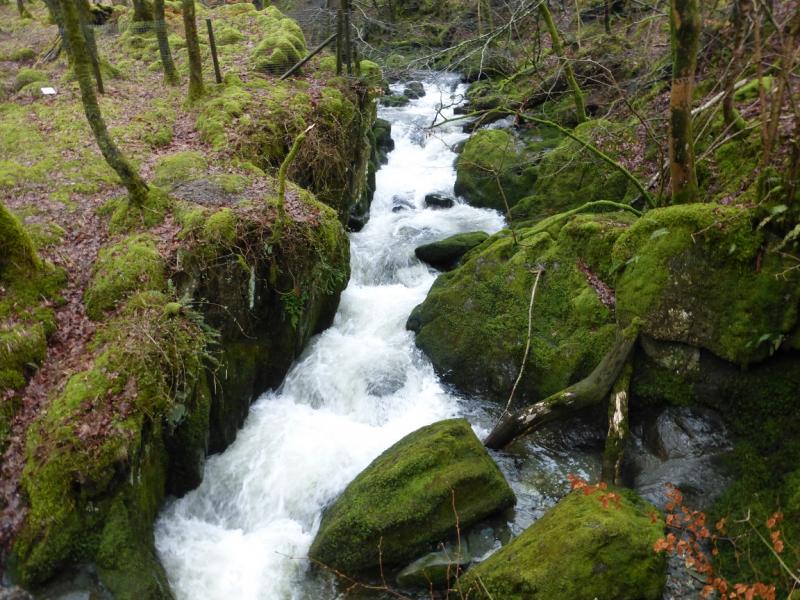
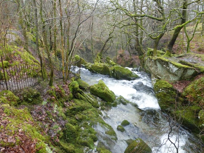
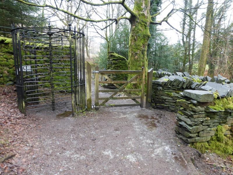
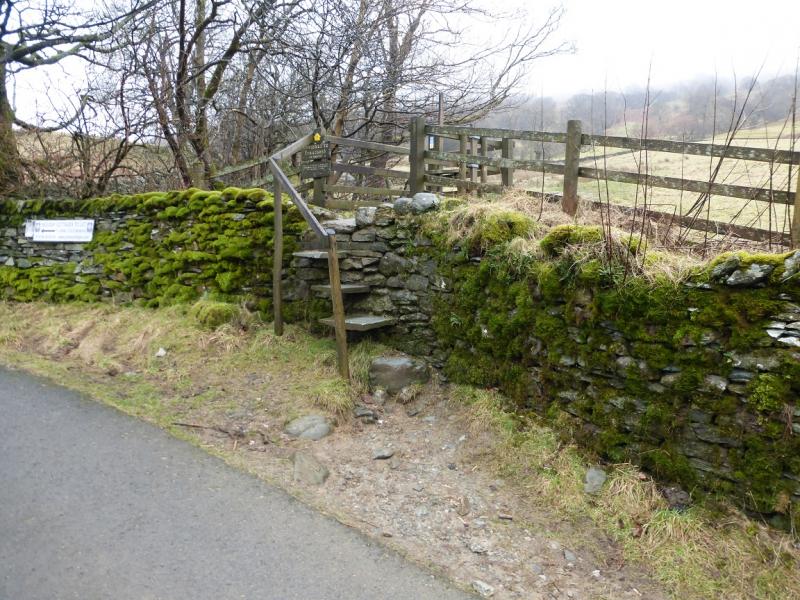
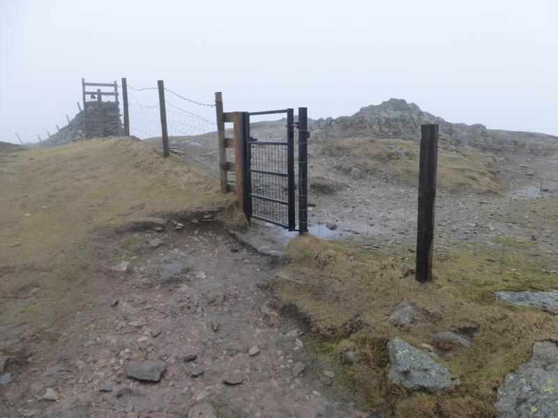
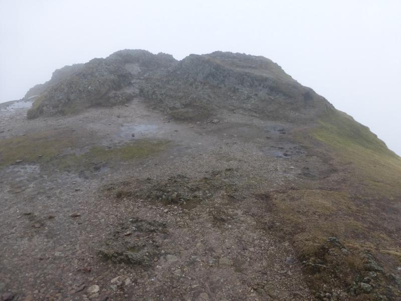
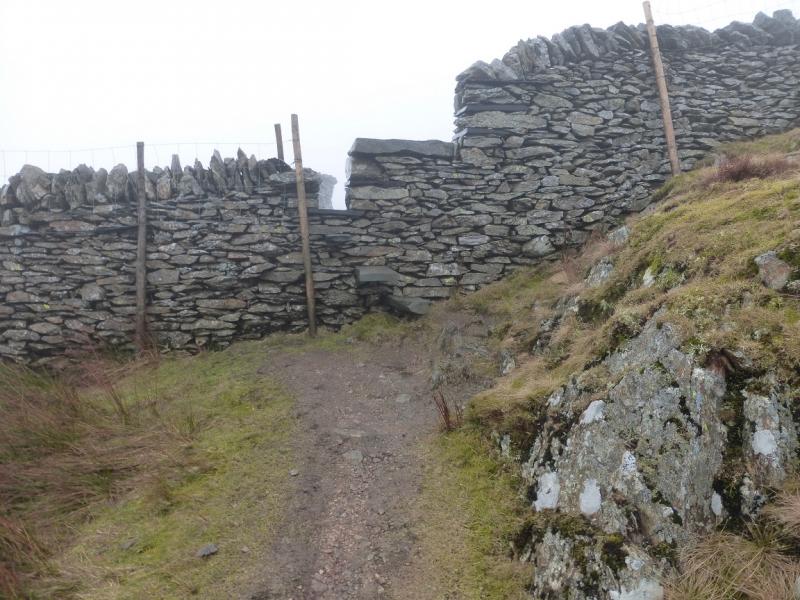
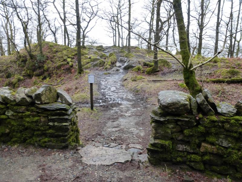
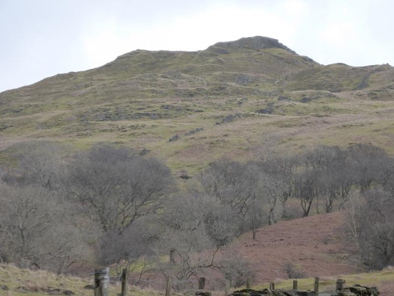
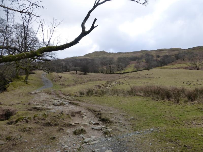
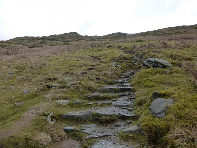
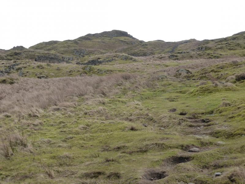
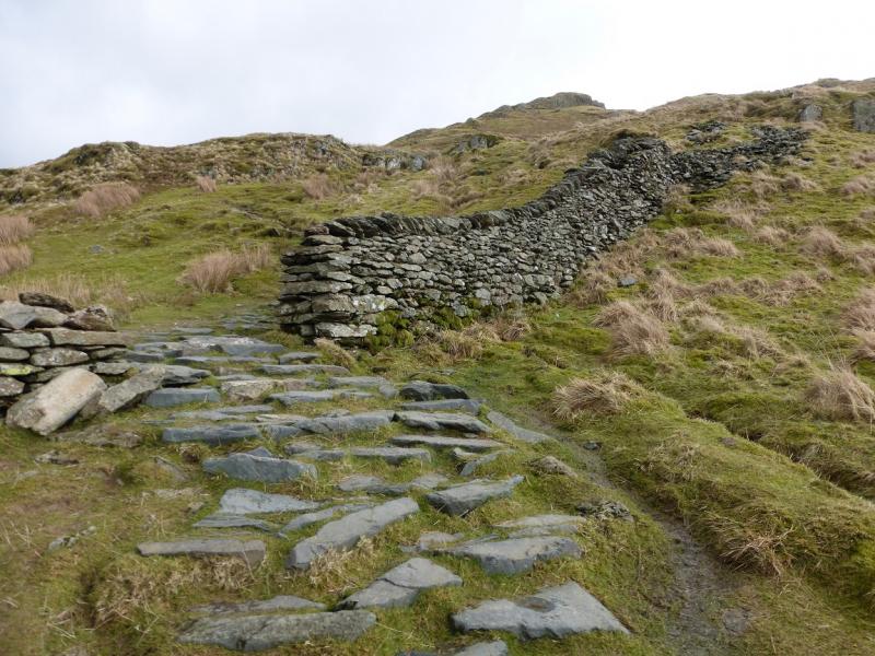
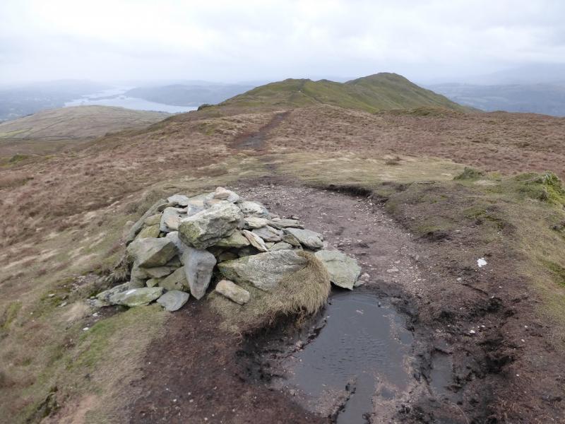
(1) Locate the Market Hall in Ambleside which is just below the obvious bend by the Salutation Hotel. Go down its left hand side then turn left on to an ascending road signed (on the railings) for Stock Ghyll and Wansfell Pike. Follow the road which soon looks down on Stock Ghyll (a stream). Continue until a signed path forks left off the road for Stock Ghyll waterfalls. Follow the path to the falls. The road needs to be rejoined by way of the signed Revolving Gate but there is a bridge just beyond the falls which many will want to visit then retrace to the gate. Continue up the road for about 500 m then look for some wooden steps on the right which are the start of the path up Wansfell Pike. Follow the obvious path up. It is steep in places but much work has been done on it in recent years. There is a large lowish cairn just below the top. From here, there is a choice of routes upwards with some scrambling available but not necessary if one stays on the path. Reach the summit area where a fence becomes a wall and there is a small, modern gate. Go through this to the highest point where, surprisingly, there is no cairn but this is the summit of Wansfell Pike, 484 m.
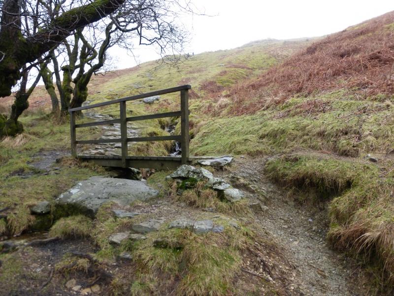
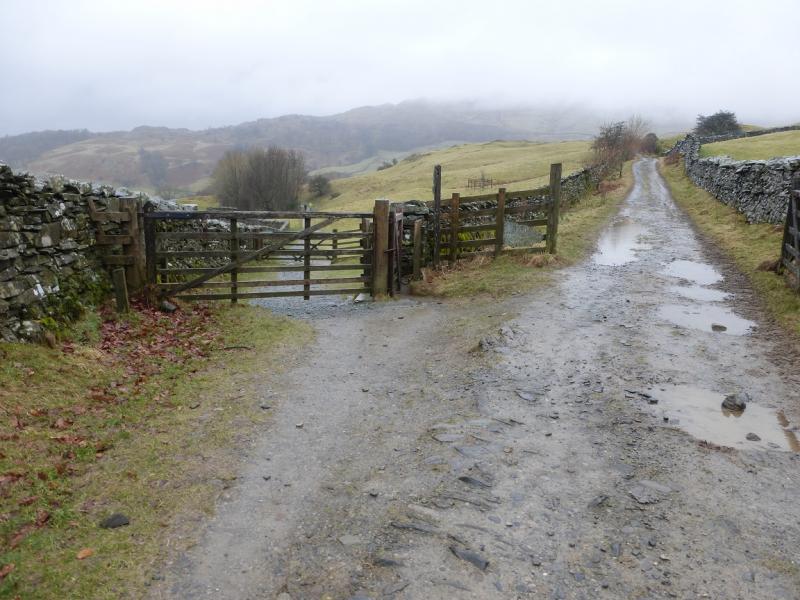
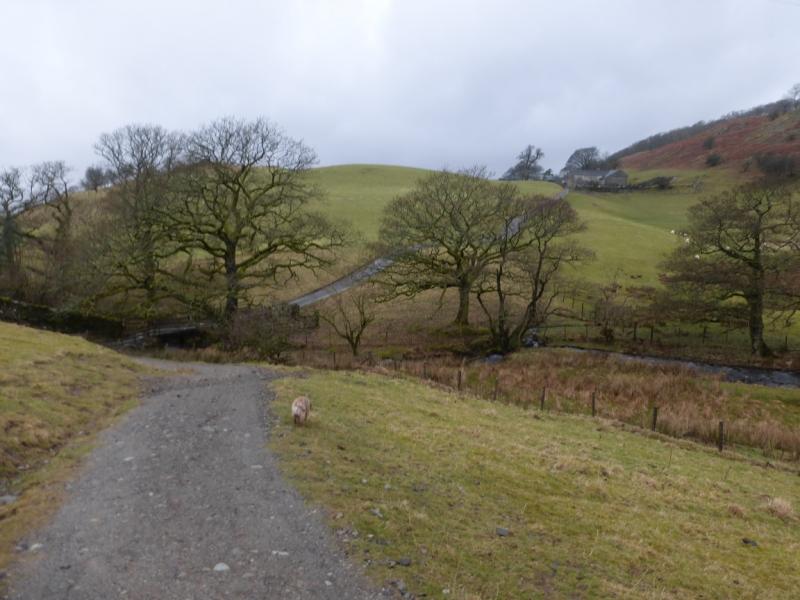
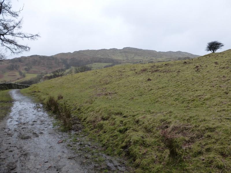
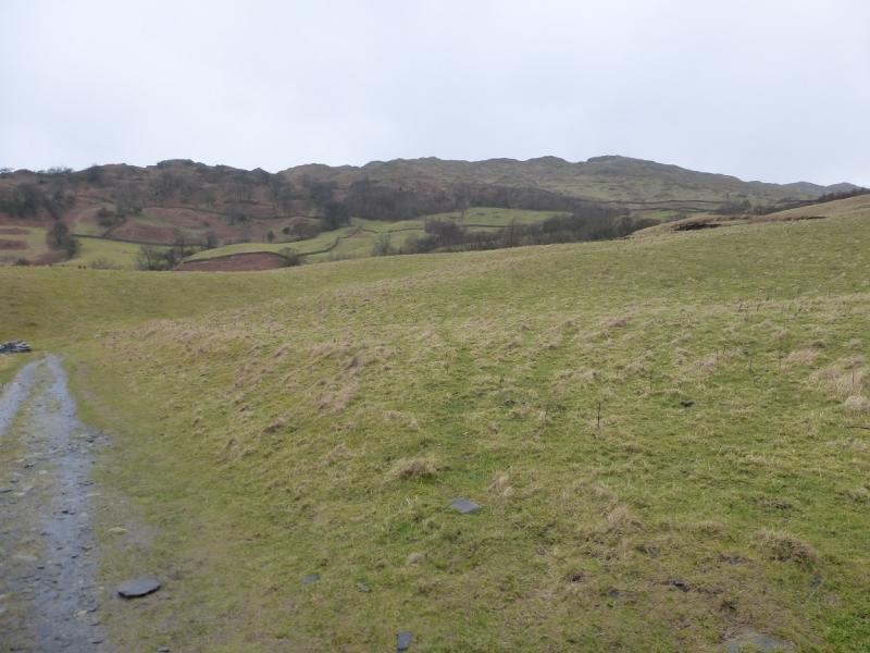
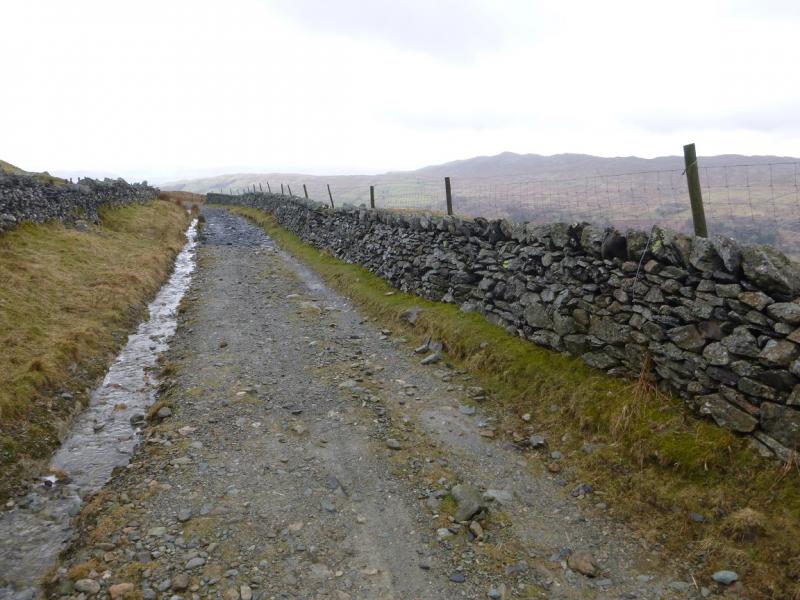
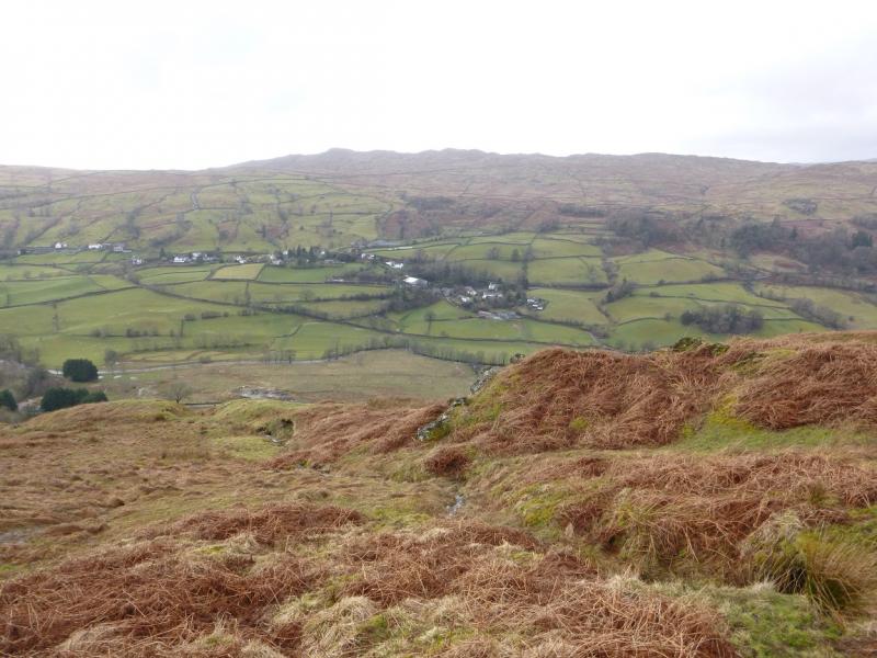
(2) From the highest point, an obvious path goes roughly E descending gently for the most part. The only boggy section has “decking” across it. Beyond here, a gate is reached where the path splits. The main path goes ahead here and leads to Troutbeck village. This route, however, goes right after passing through the gate. The boggy path initially follows the wall but gradually diverges left. There are some “stepping stones” in some of the boggy sections but it is still quite unpleasant in wet conditions. Eventually, the path reaches a well defined lane which is Hundred's Road. This is not much better, though, and in wet conditions holds some very large puddles. In mist, the lane seems to go on forever! Eventually, it becomes Robin's Lane where a reverse right fork takes one through a gate on to a good, gently descending path/track. Follow the new track down to cross a stream by a bridge then ascend gently to High Skelghyll Farm. Continue on the track which soon enters woodland. Further on, there is a sign for Jenkin Crag on the left; the detour is less than 100 m and there are fine views of Windermere. Continue on the track, ignoring any paths off left. Further on, the track becomes a road, at the entrance to Broad Ings, then descends into Ambleside.
Notes
(a) This walk took place on 9th March 2015.
Photos - Hover over photo for caption. Click on to enlarge. Click on again to reduce.