Get Lost Mountaineering
You are here: England » Lake District » 5 Northern Fells
Bowscale Fell via Bowscale Tarn, Bannerdale Crags & Souther Fell from Mungrisdale Village
Bowscale Fell via Bowscale Tarn, Bannerdale Crags & Souther Fell from Mungrisdale Village
Start/Finish
Mungrisdale village which is on the minor road to Caldbeck about 2 m north from the A66. From the A66 Keswick to Penrith road, the minor road for Caldbeck and Mungrisdale is about 7 miles East of Keswick and about 10 miles west of Penrith. There is car parking opposite the village hall and down the lane by the phone box but you must park on the opposite side of the lane to the phone box. In 2014, it was £2 a day in both spots.
Distance/Time
12 km About 4 – 5 hours
Peaks
Bowscale Fell, 702 m, NY 333 306.
Bannerdale Crags, 683 m, NY 335 291.
Souther Fell, 522 m, NY 355 291. OS 1:50 000, Sheet 90. OL5 North Eastern Lakes
Introduction
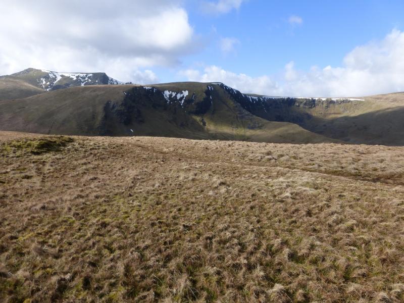
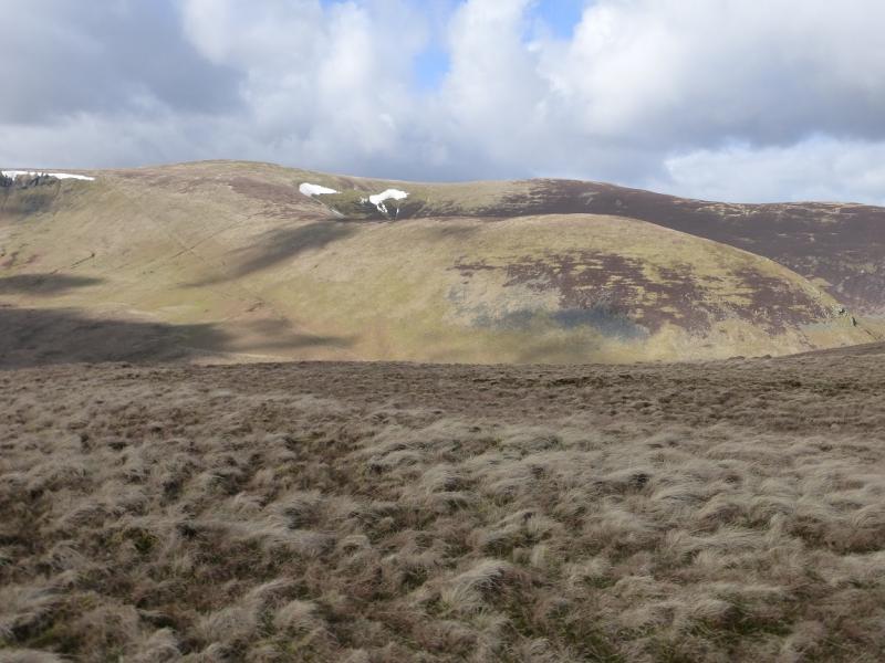
This is a fine walk and has excellent views on a clear day especially to Blencathra, Skiddaw, Knott, Carrock Fell and High Pike. Cross Fell may also be seen to the east as well as the Lakeland fells south of the A66. The closest of these is Great Mell Fell. Much of the walk is on high moorland which, apart from the odd wet section, is pleasant to walk. The descent off Bannerdale Crags is mainly down rough grassy slopes. Navigation is relatively straightforward even in mist as there are paths much of the way except on the higher part of Bowscale Fell where navigation can be “challenging” in thick mist although there are several cairns. The track to Bowscale Tarn is very good and easy to follow.
Route
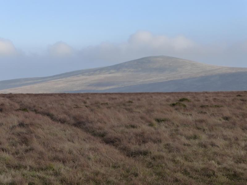
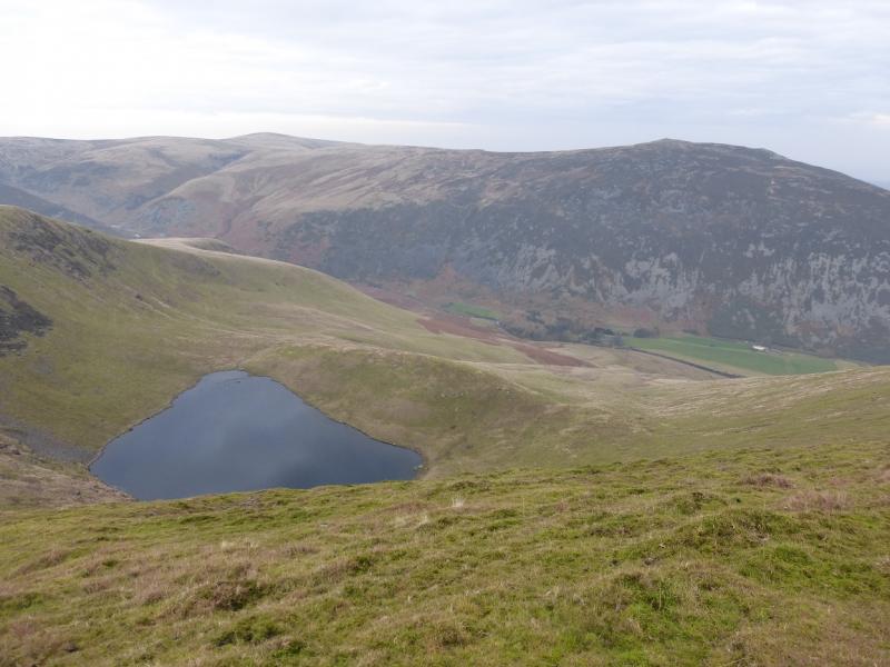
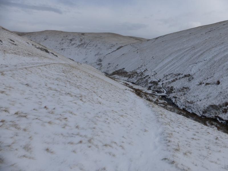
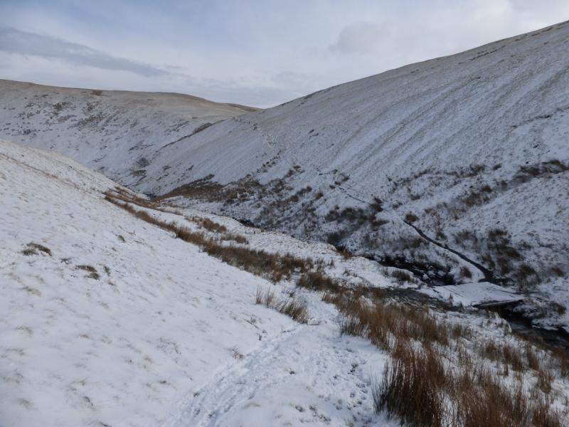
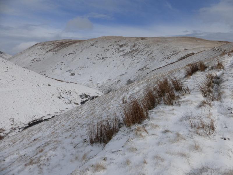
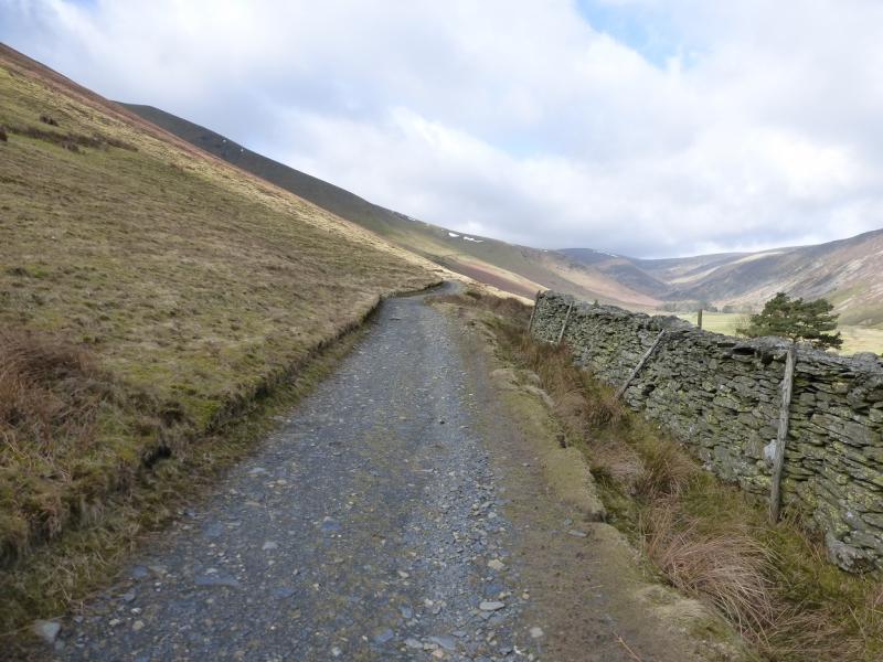
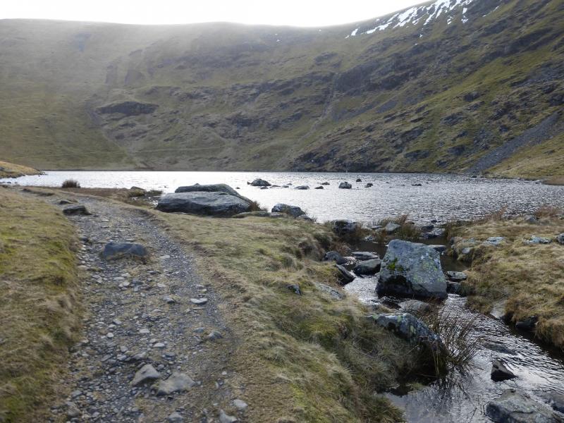
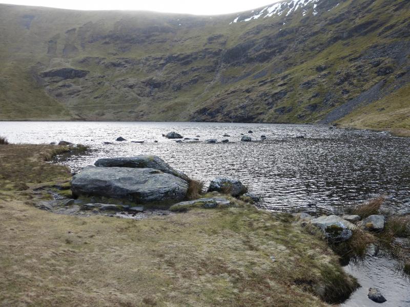
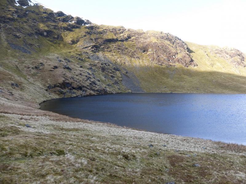
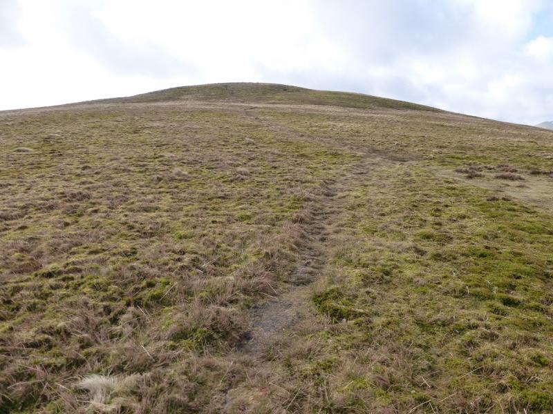
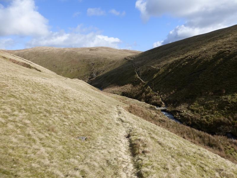
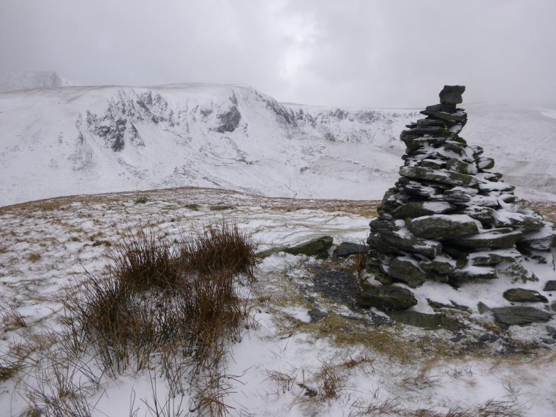
(1) From Mungrisdale village, walk north along the road to the hamlet of Bowscale. A good track goes left, W, and shadows the River Caldew. This easy to follow track goes all the way to Bowscale Tarn. The usual path goes right just before the tarn and ascends on to the lower part of the N ridge of Bowscale Fell. A better alternative is to take the obvious path going left around the tarn. This becomes quite faint once it starts to gain height so one then has to pick a way up to the N ridge of Bowscale Fell. In places, the slopes above the tarn are steep so care is needed. In winter, cornices can form on the edge of the N ridge which can also be a problem. Those who worry about such things should take the path on the right before the tarn! Once on the N ridge, a path leads gently up to a top with a cairn and about 200 m further is the large shelter cairn which marks the summit of Bowscale Fell, 702 m.
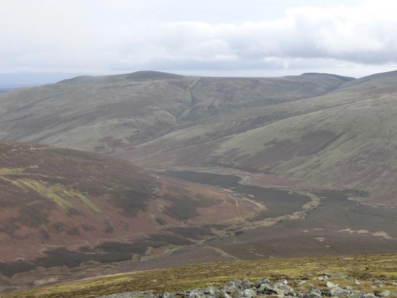
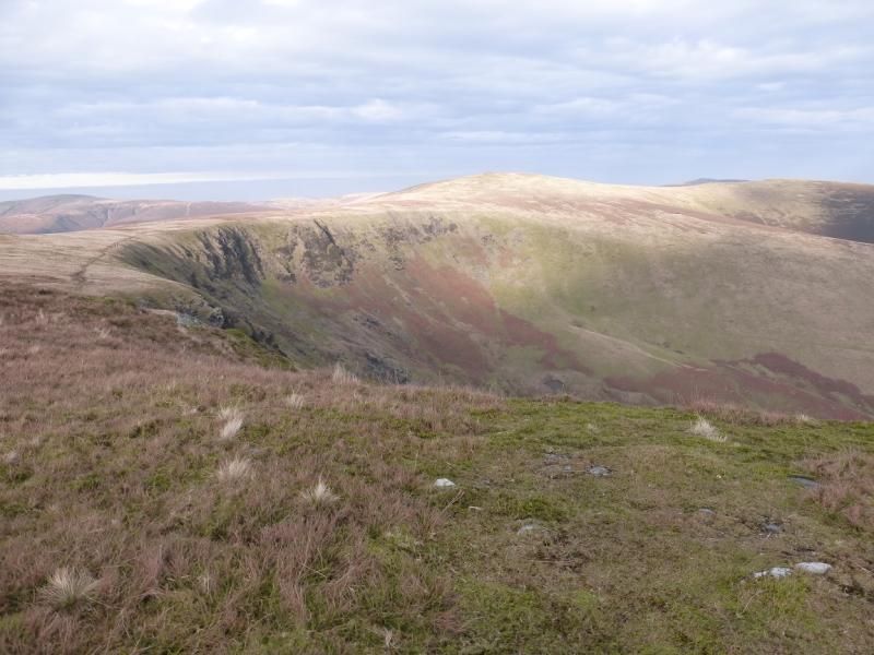
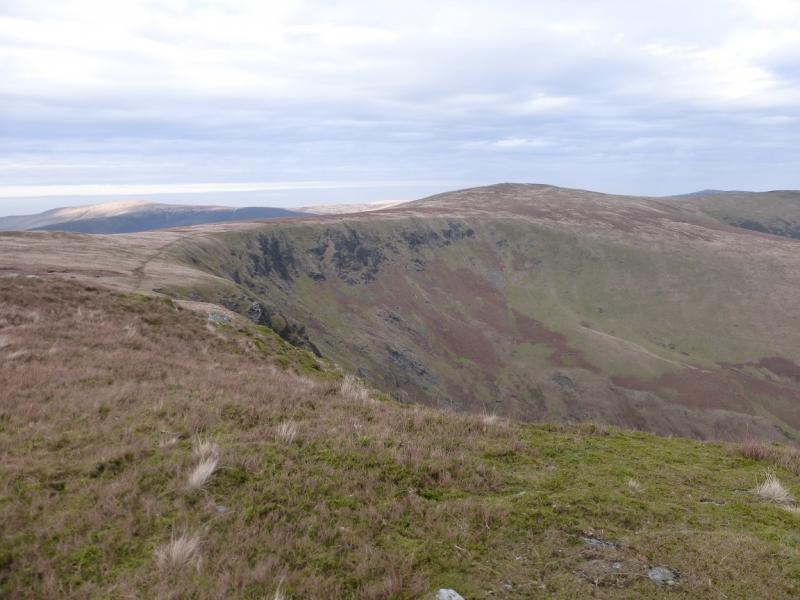
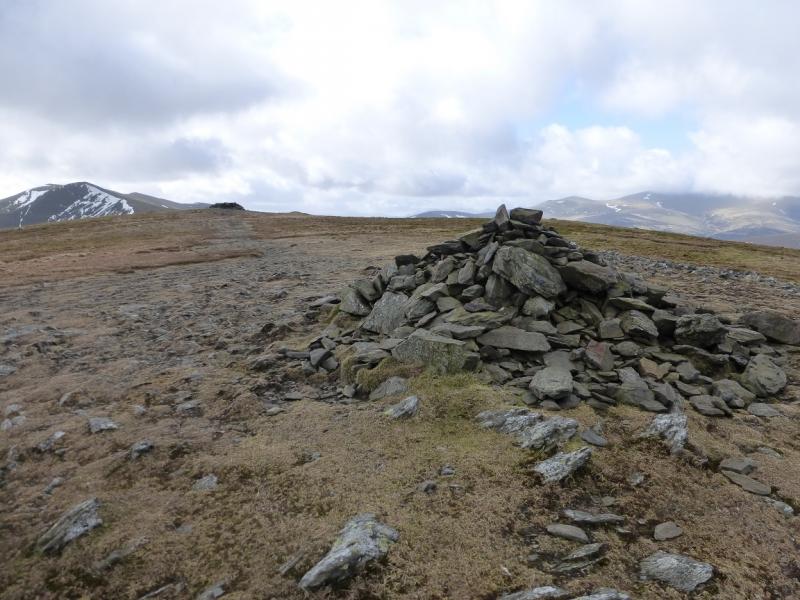
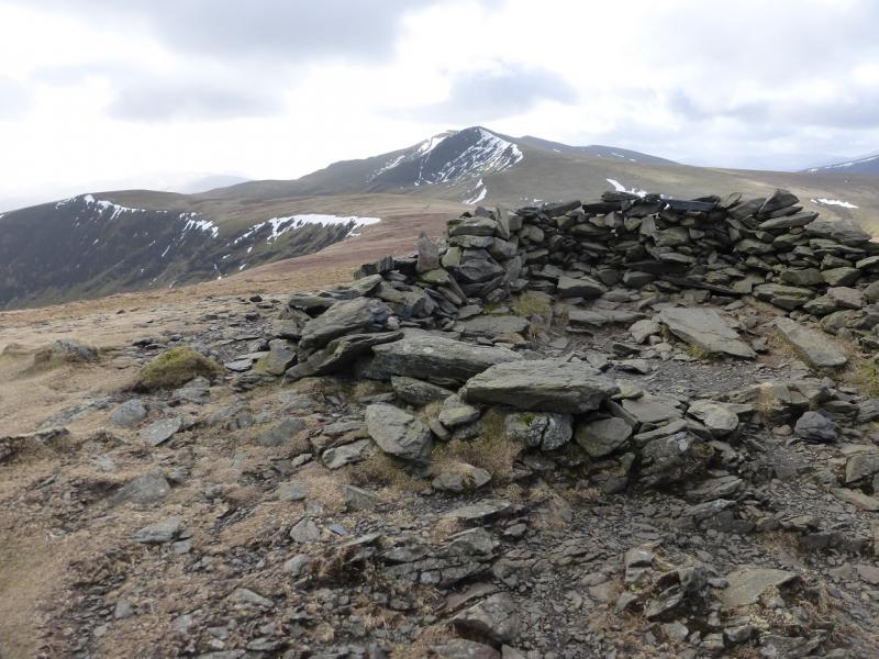
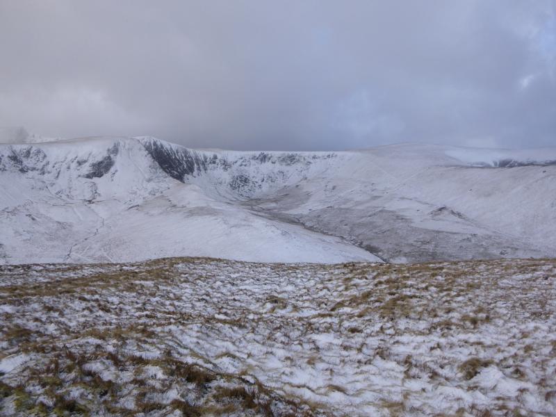
(2) There is no obvious path from the summit so walk roughly SSE and soon pick up a path which continues, with hardly any descent, over some wet and boggy ground before reaching the edge of Bannerdale Crags where there are steep drops on the left, N. In mist, stay with the main path from Bowscale Fell, ignoring all others. There are various paths along the edge of the crags. All lead to a cairn. This is not the summit which is about 200 m W up a very gentle grassy path. It is smaller than the edge cairn but this is the summit of Bannerdale Crags, 683 m.
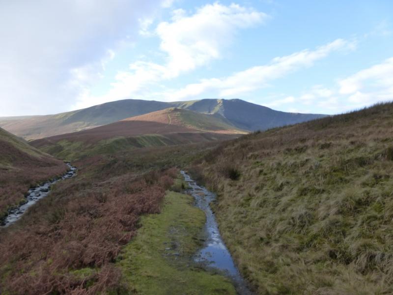
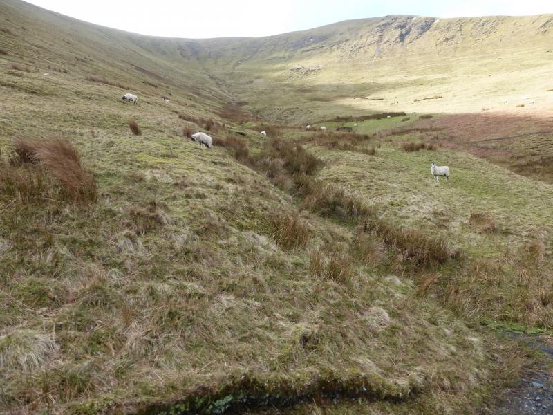
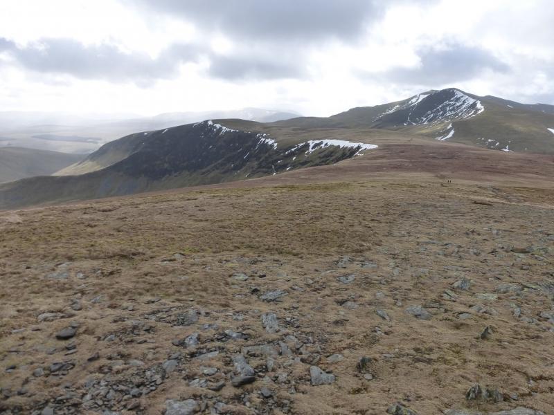
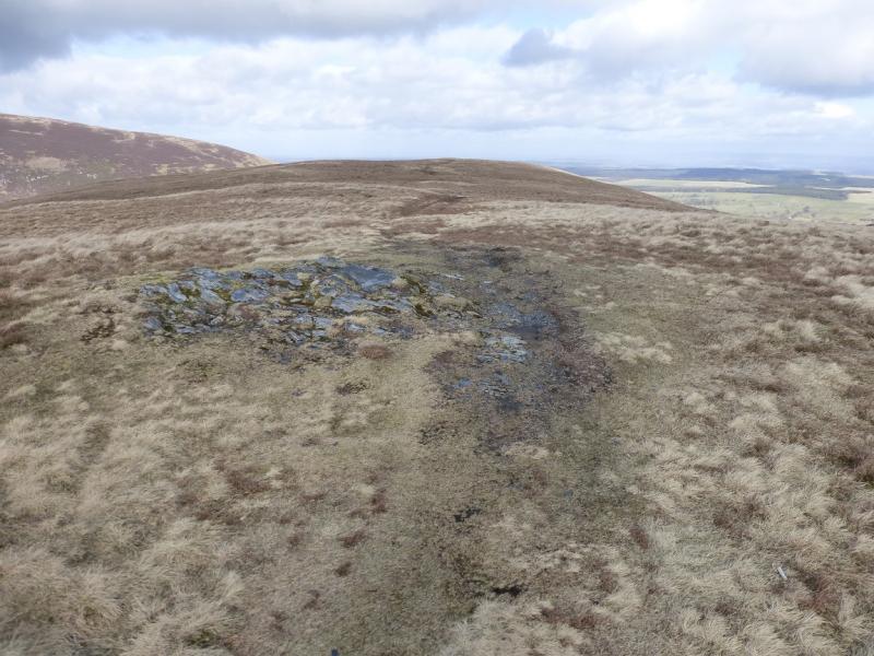
(3) Return to the edge cairn and follow a faint path along the edge going roughly S. Continue S, leaving the edge, and pick a way down the rough grassy, but not difficult, slopes of White Horse Bent. When lower down, drift to the W for some superb views of Sharp Edge and Foule Crag on Blencathra. At the bottom of White Horse Bent is a good track and a path leaves this to cross a flat wooden bridge over the River Glenderamackin from where an easy angled path leads up on to the crest of Souther Fell at its S end to join the main path from Mousthwaite Comb. Walk N along the crest. There is a cairn to the N of the first top (495) which seems to have no significance other than perhaps being a view point. Continue over another easy top then on to the third top which is the highest but, on 10/3/15, there was no cairn. However, this is the summit of Souther Fell, 522 m.
(4) Continue along the crest, initially descending gently on an obvious path. This steepens lower down the nose and can be slippery when wet or under snow. There are some very small crags but these are easily avoided. Eventually reach a wall about 100 m from the road and the Mill Inn. The wall is topped with barbed wire and there is a notice saying there is no public access across the short field and “Please Keep Out”. The adjacent field, to the right, is similarly “guarded” but has no notice so either enter this field and exit by the gate near the houses or do not enter the field and walk along the wall for some distance until it meets the road.
Notes
(a) This walk took place on 10th March, 2015.
(b) An alternative approach to Bowscale Fell is along its E ridge which is climbed directly from Mungrisdale. Details of this are in other posted walks for Bowscale Fell.
Photos - Hover over photo for caption. Click on to enlarge. Click on again to reduce.