Get Lost Mountaineering
You are here: England » Lake District » 2 Far Eastern Fells
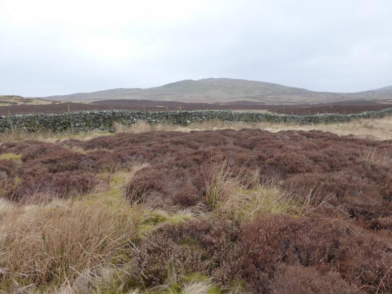
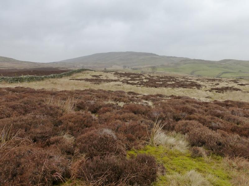
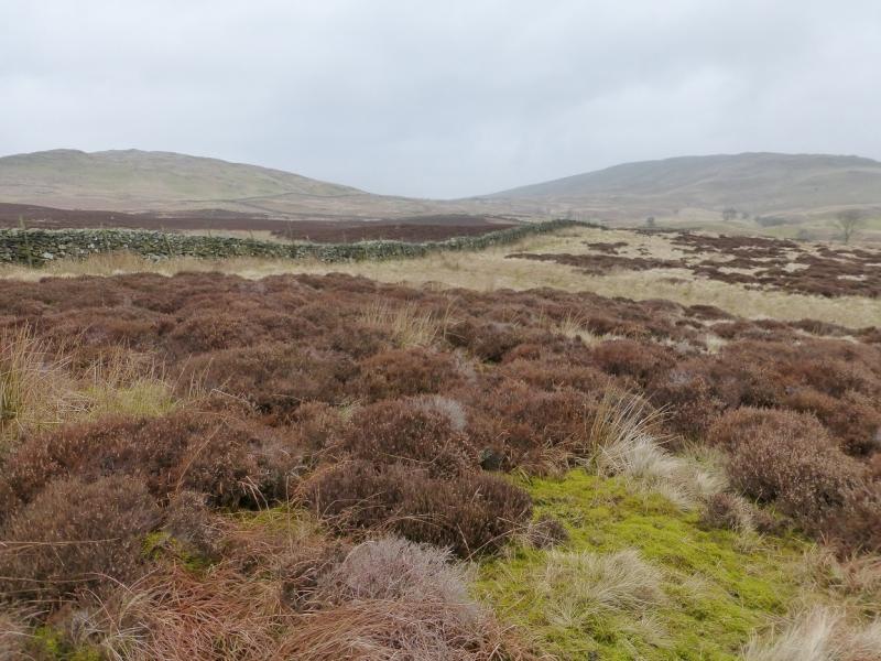
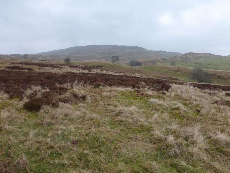
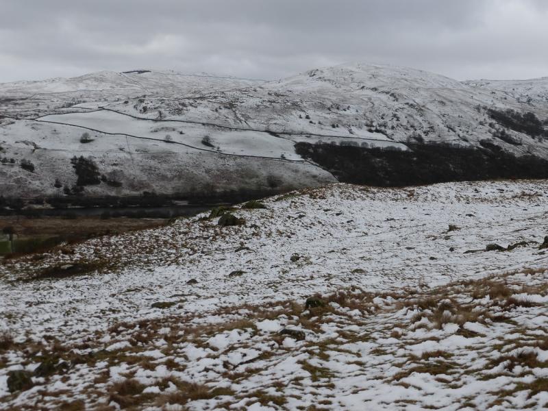
Sour Howes & Sallows from near Browfoot
Sour Howes & Sallows from near Browfoot
Start/Finish
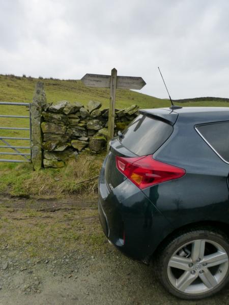
Somewhere on the upper part of Browfoot Lane between Browfoot and the end of the lane at NY 448 004. Parking is very limited and one may have to park between Browfoot and Staveley. From Staveley, between Kendal and Windermere, follow signs out of the village for Kentmere heading up the west side of the River Kent. When the road for Kentmere crosses the river, stay on the west side and continue uphill to Browfoot where the road turns left, west, and soon ends in about half a mile at a track going left and right. It should be easy to turn round here unless others have parked inconsiderately.
Distance/Time
11 km About 3 - 4 hours
Peaks
Sour Howes, 483 m, NY 428 032.
Sallows, 516 m, NY 437 039.
OS 1 : 50 000 , sheet 90. OS 1 : 25 000 Outdoor Leisure 7, English Lake District SE Area.
Introduction
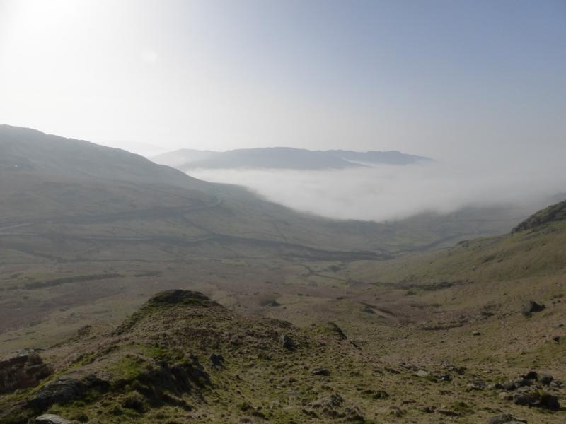
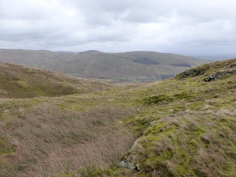
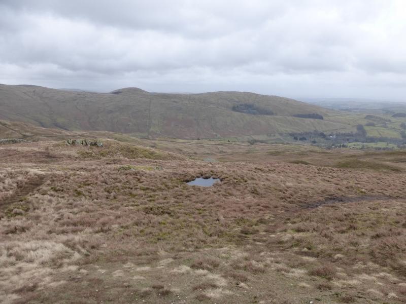
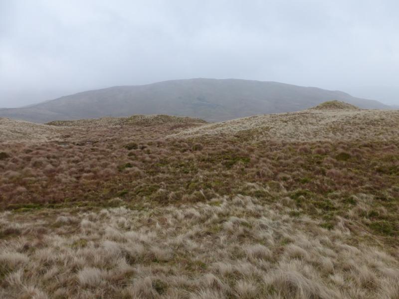
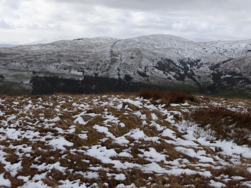
At first glance, this looks like a simple and straightforward walk but these two hills are quite featureless and there are no really obvious summit cairns. On Sour Howes there are several minor tops too which can make navigation awkward in mist. Park Beck is crossed at a ford on the usual return but after rain, the water can be very fast flowing and over knee high and many will not wish to cross, necessitating either a significant detour upstream or an even longer detour via Kentmere village! Those who do not cross are likely to get very wet in such conditions even if they stay on their feet! Having said all that, the potential for views is considerable with Wansfell, the Kentmere Fells, and parts of the Fairfield range visible.
Route
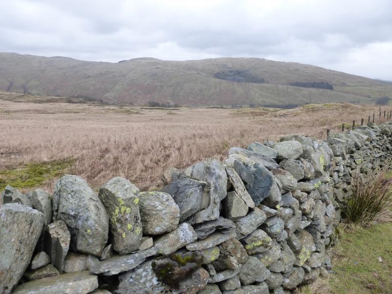
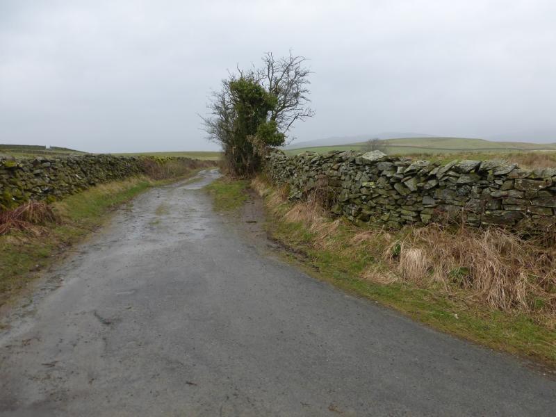
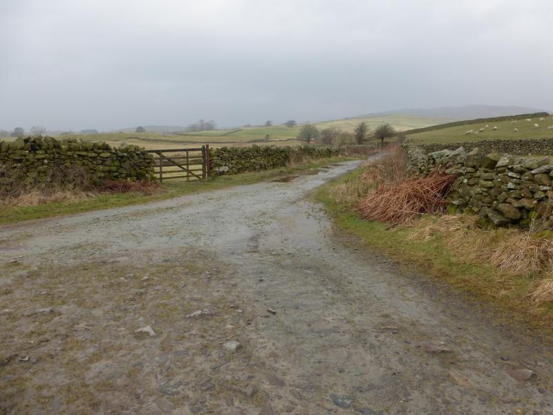
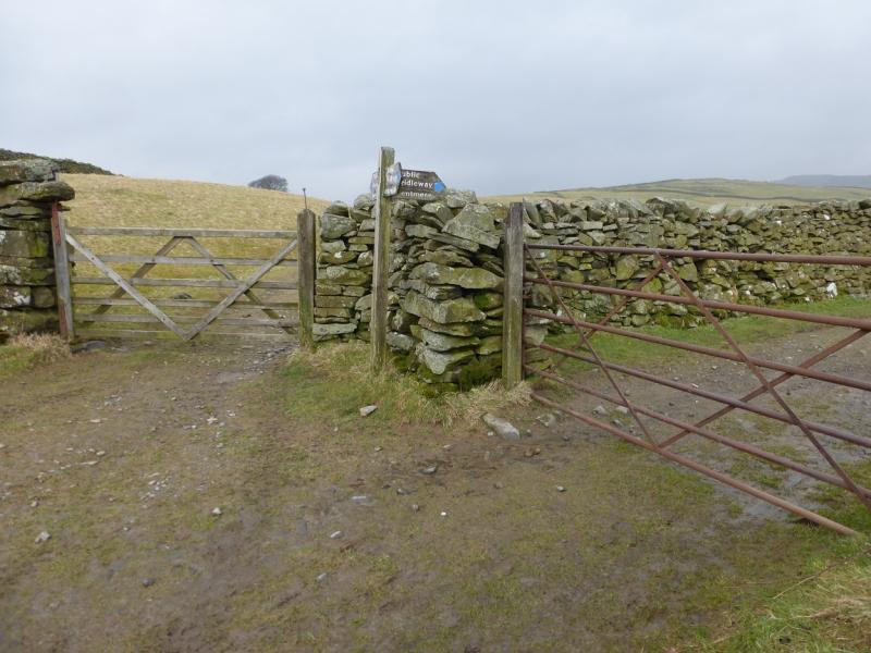
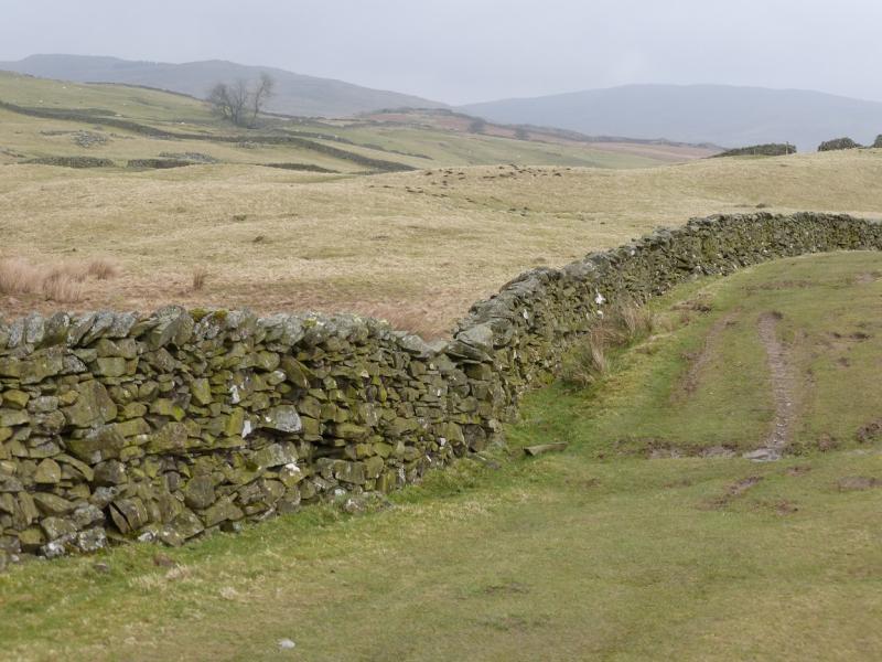
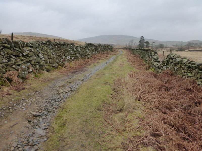
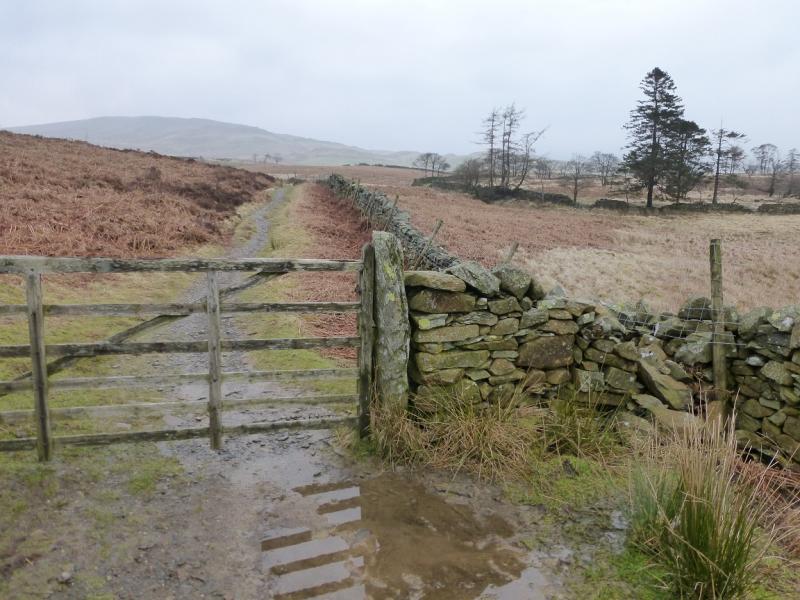
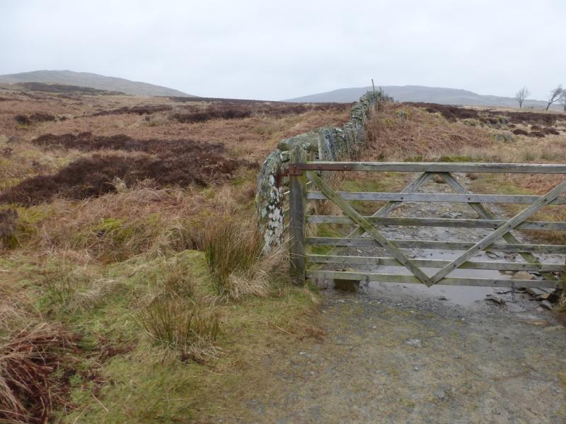
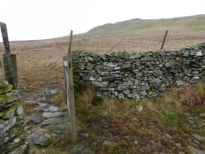
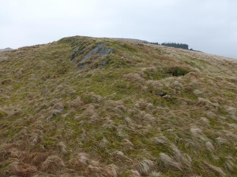
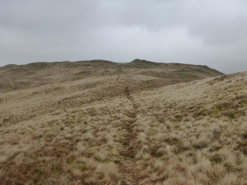
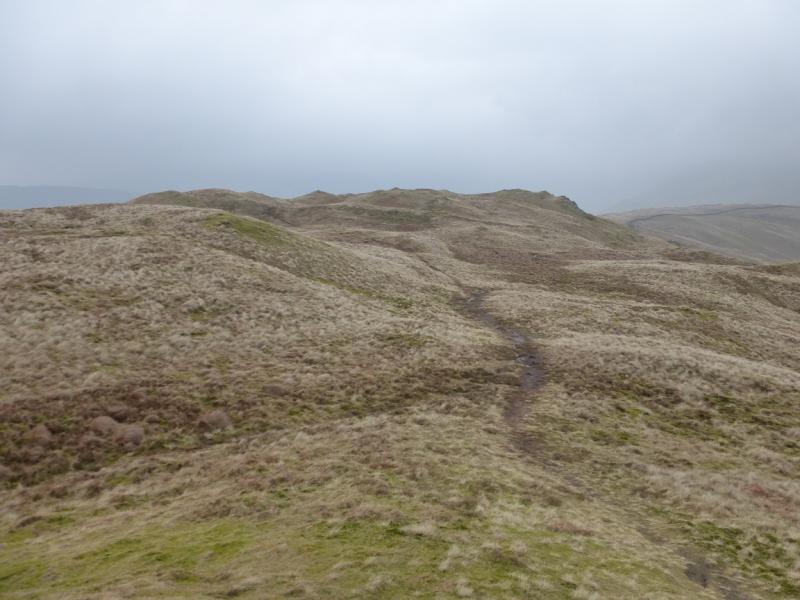
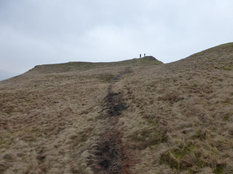
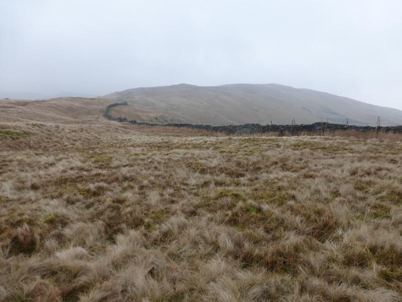
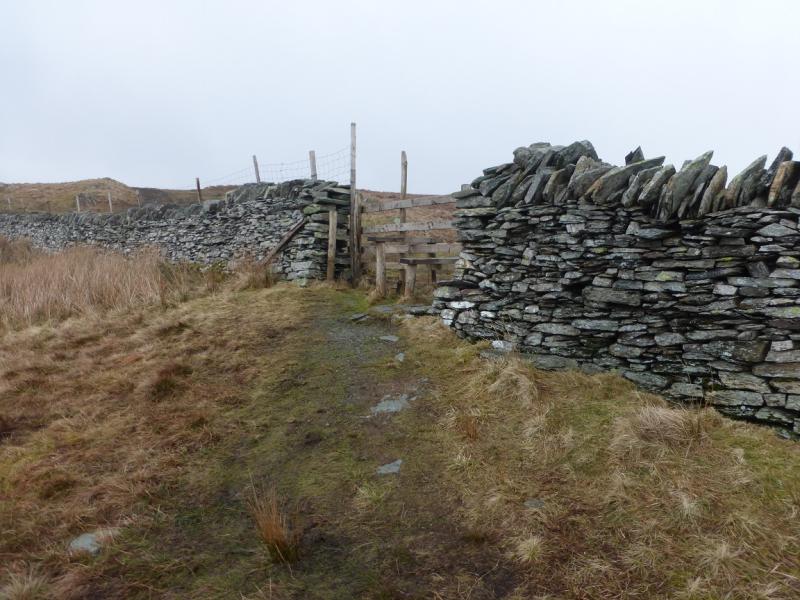
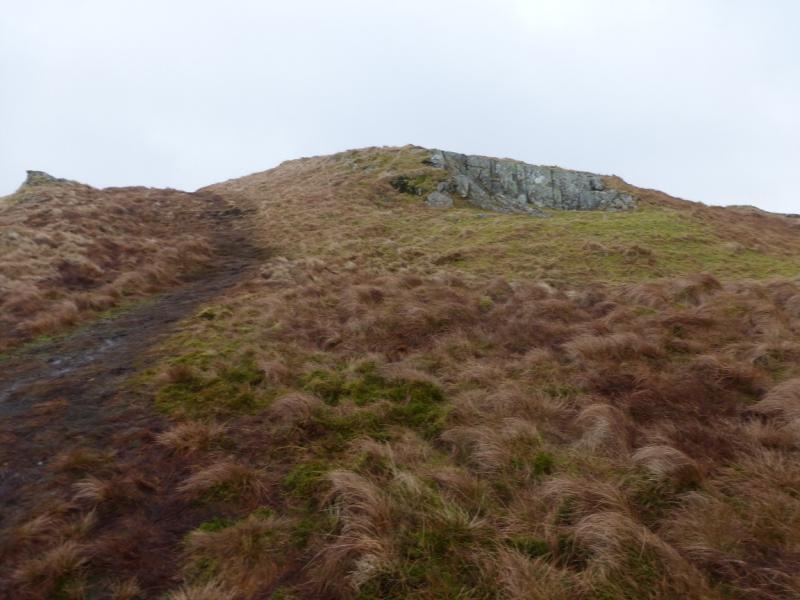
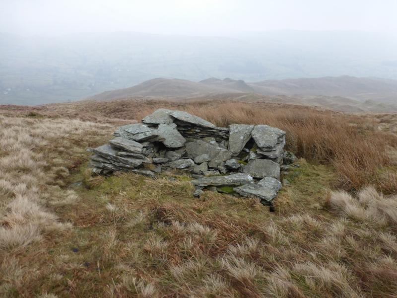
(1) From the top of Browfoot Lane, go right, NW, along a good track. In about 500 m, reach a T junction and go right. After about 600 m, reach another T junction where there is a triple sign post. Follow the Kentmere sign which is initially on a not very obvious grassy track. A stone wall is on your left. Further on, there will be a wall on both sides then just on your right. Further on still, a gate is reached after which it will be on your left again. Continue following the wall on the track but leave the main track/path and follow another fainter one closer to the wall. Reach a corner where the wall goes left. Stay with the wall to the next corner where the wall goes right. Cross the wall at this corner through a gate which is not obvious until quite close then head WNW uphill, on a faint path which soon disappears, to reach the top of Capple Howe where there are a few stones which hardly constitute a cairn. A path goes from here to the left corner of the obvious newly planted conifer wood. Go through the broken wall on to a rough grassy track but leave it immediately to cross the fence then follow a path which weaves between the many false tops to reach a low conical mound, the top of which is the summit of Sour Howes, 483 m. There is hardly a cairn. It looks like a pocketful of small flat pieces of slate! The summit is little higher than the other tops near by.
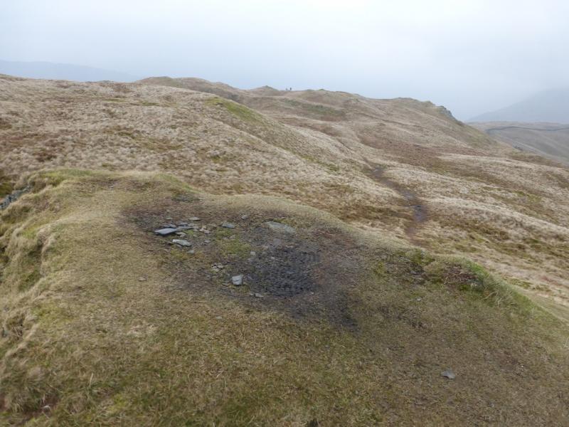
(2) Follow the path going N, with little descent, which becomes more like a track and slowly converges with the wall. Follow this to a fence and stile over the wall which is crossed before ascending almost due E up gentle slopes to a top with no cairn which is the summit of Sallows, 516 m. The top is like a low mound about 20 m long. Just before the top, another path comes in on a reverse left fork.
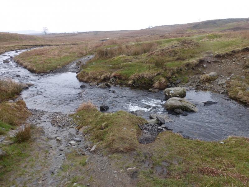
(3) The usual route of descent would be to follow the gentle ridge line, roughly SE towards Long Crag then go due S to reach an old boggy quarry track which leads down to a gate just before a ford over Park Beck. In wet conditions, this cannot be crossed and stay dry. In very wet conditions, it cannot be crossed safely. In this case, it would be better to walk due S from Sallows summit and cross the Park Beck tributaries much higher up. This route will take you through the area labelled as Wardless on the OL map. Continue S and the wall from the outward track to Capple Howe will be met. This can be followed down to the outward Kentmere track then the outward route retraced. Alternatively, retrace from Sallows back to the wall and follow it down and round below Sour Howes and Capple Howe. Note there is another path descending on the approach side of Park Beck which crosses the beck about 200 m further. There is no bridge here either and the beck will be just as difficult to cross in spate conditions.
Notes
(a) This walk took place on 11th and 12th March 2015.
Photos - Hover over photo for caption. Click on to enlarge. Click on again to reduce.