Get Lost Mountaineering
You are here: England » Yorkshire Dales » Western Area
Ingleborough via Juniper Gulf, Simon Fell, Gaping Gill, Trow Gill & Ingleborough Cave from Clapham
Ingleborough via Juniper Gulf, Simon Fell, Gaping Gill, Trow Gill & Ingleborough Cave from Clapham
Start/Finish
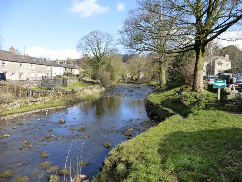
Clapham village which is situated just off the A65 Skipton to Kendal road. Clapham is between Settle and Ingleton. There is a National Park car park, with toilets, in the village near the stream. This is about £4 a day (2015). Out of season, there is free on road parking by the stream but this soon gets taken, even in March! Please do not park in a way which irritates the local residents.
Distance/Time
16 km About 5 – 6 hours
Peaks
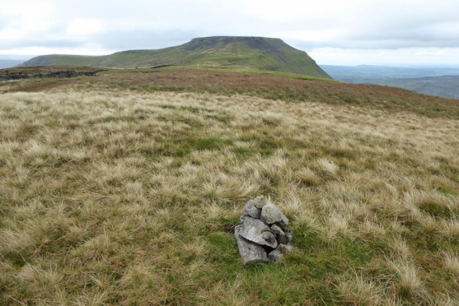
Simon Fell, SW Cairn, c 630 m, SD 759 749.
Simon Fell (highest point), 650 m, SD 754 752.
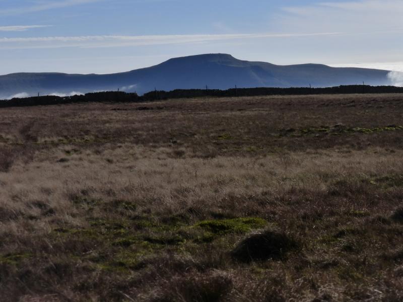
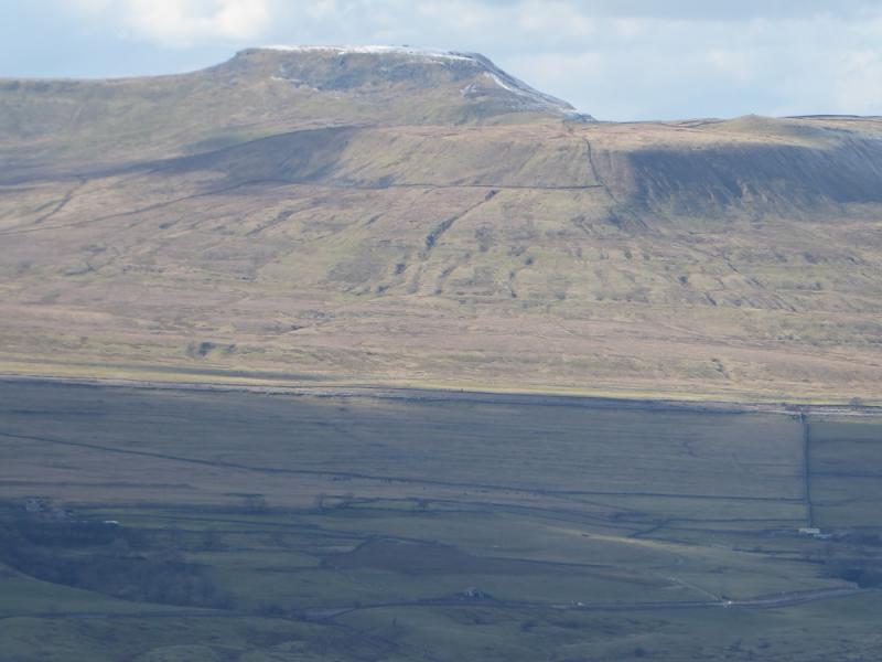
Ingleborough, 724 m, SD 741 746. OL2 Yorkshire Dales: Western Area.
Introduction
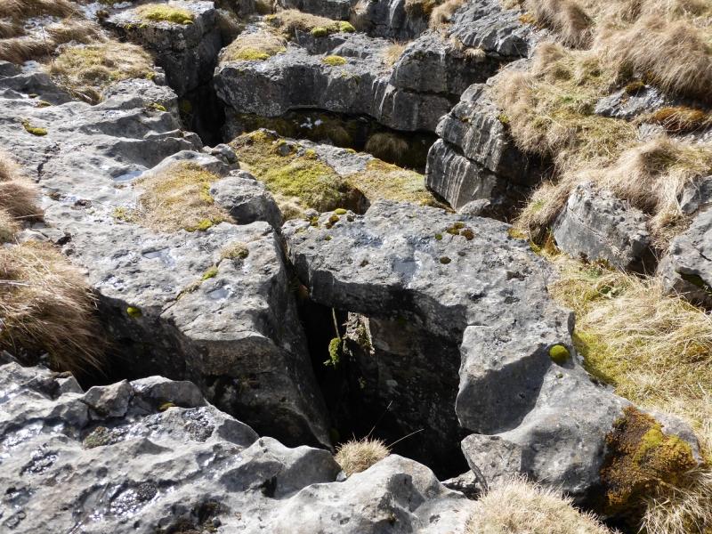
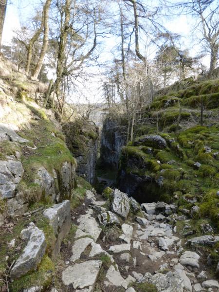
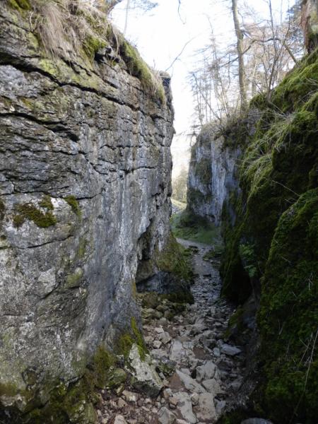
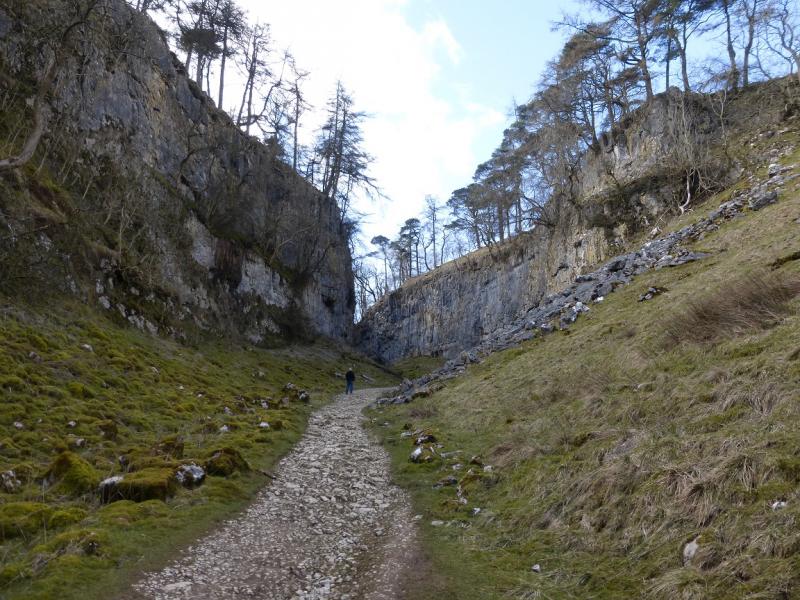
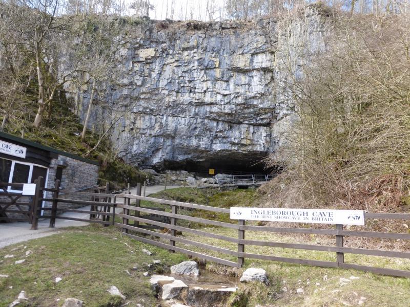
Ingleborough is one of the famous “3 Peaks” with Pen-y-Ghent and Whernside being the other two. This route takes in more than just Ingleborough. Juniper Gulf is not that easy to find but is well worth looking for as it it is a very narrow rocky cleft in the ground. Gaping Gill is very well known being, allegedly, large enough to hold York Minster. Trow Gill is a very high, dry limestone gorge. Ingleborough Cave claims to be the finest show cave in the UK. Some may disagree with that but it is, nonetheless, a very fine show cave. Allow extra time (and an entry fee!) if you wish to go around the cave – this route goes past the entrance. It may be wise to check beforehand if the cave is open if you wish to go round it. Some of this route is not on official rights of way but many people have taken this route and it seems to be tolerated by the local land owners.
Route
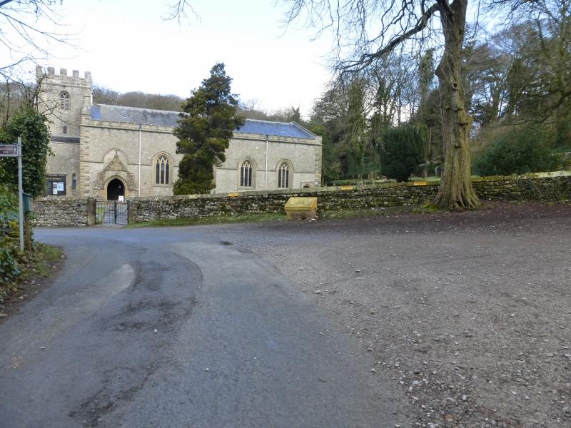
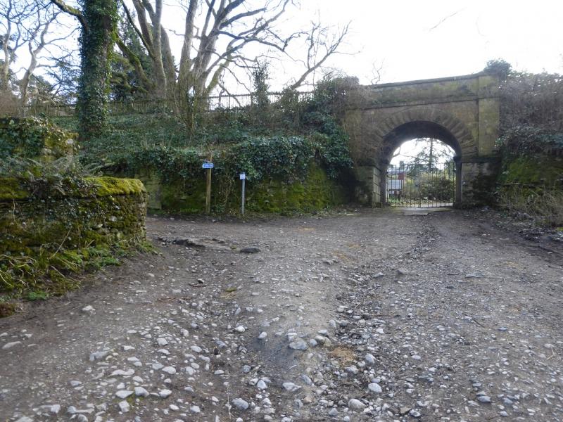
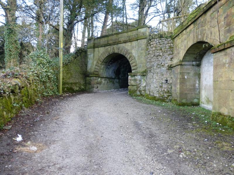
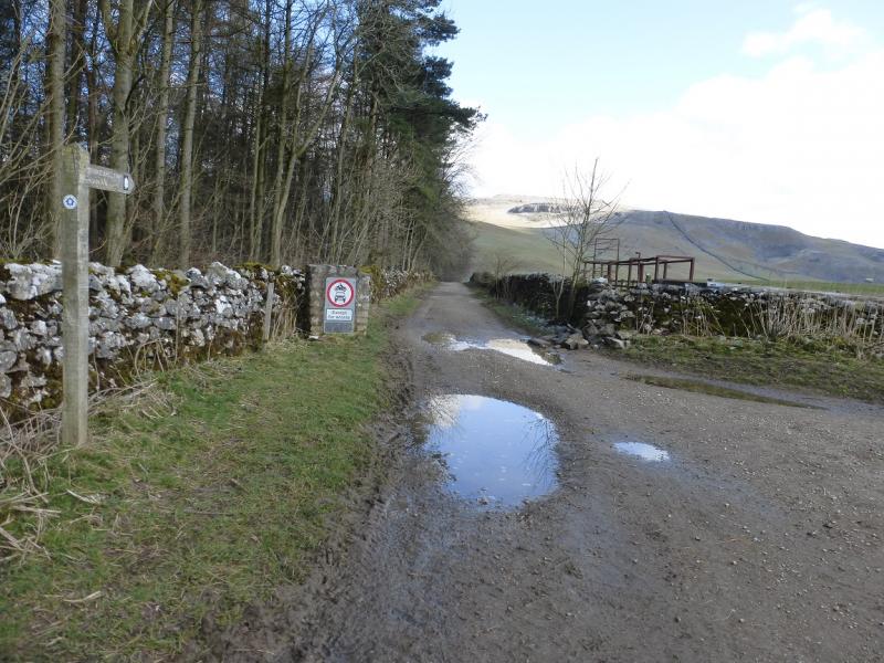
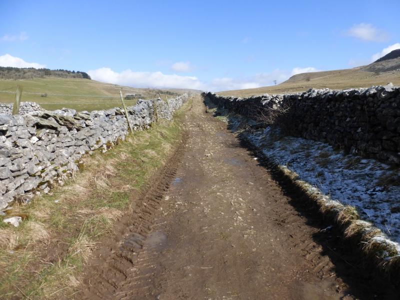
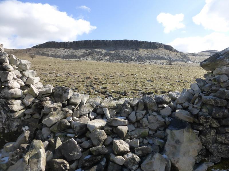
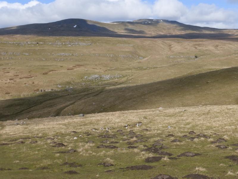
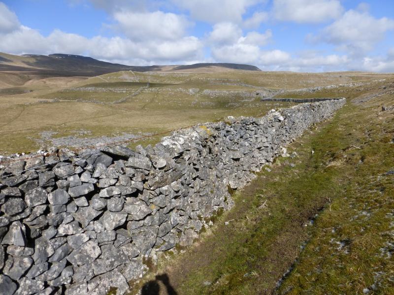
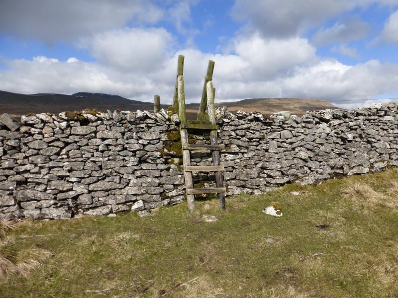
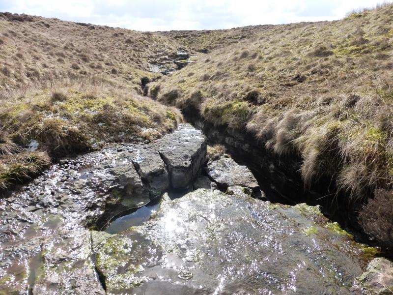
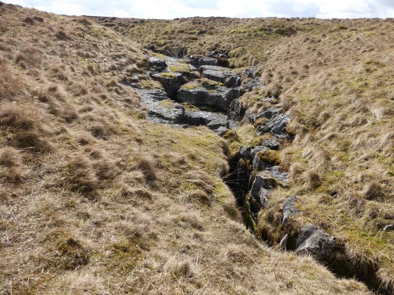
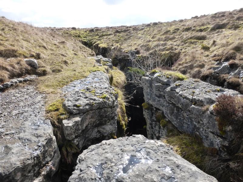
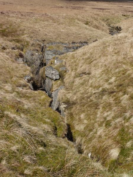
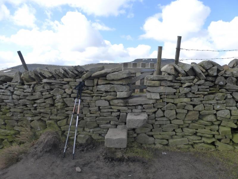
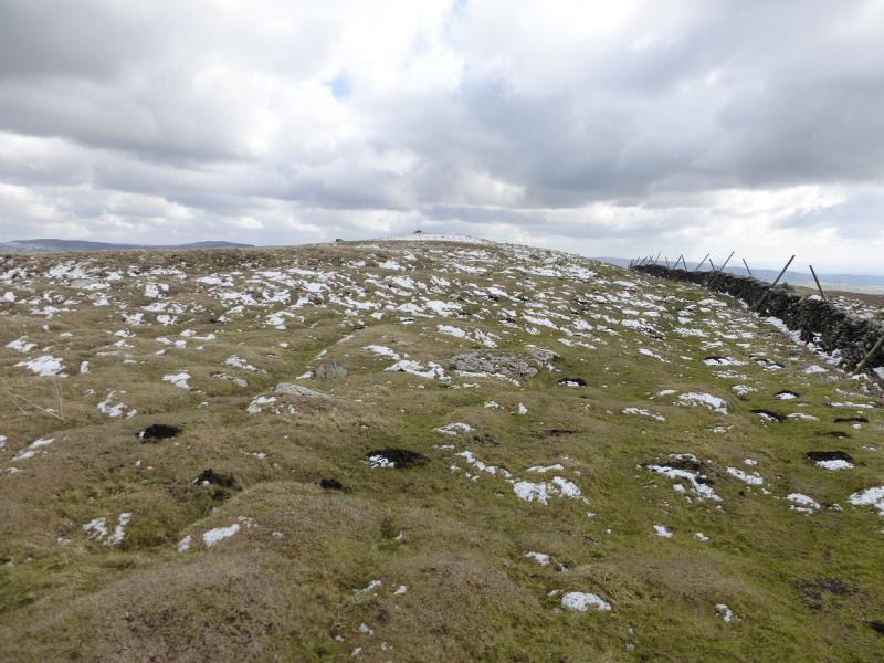
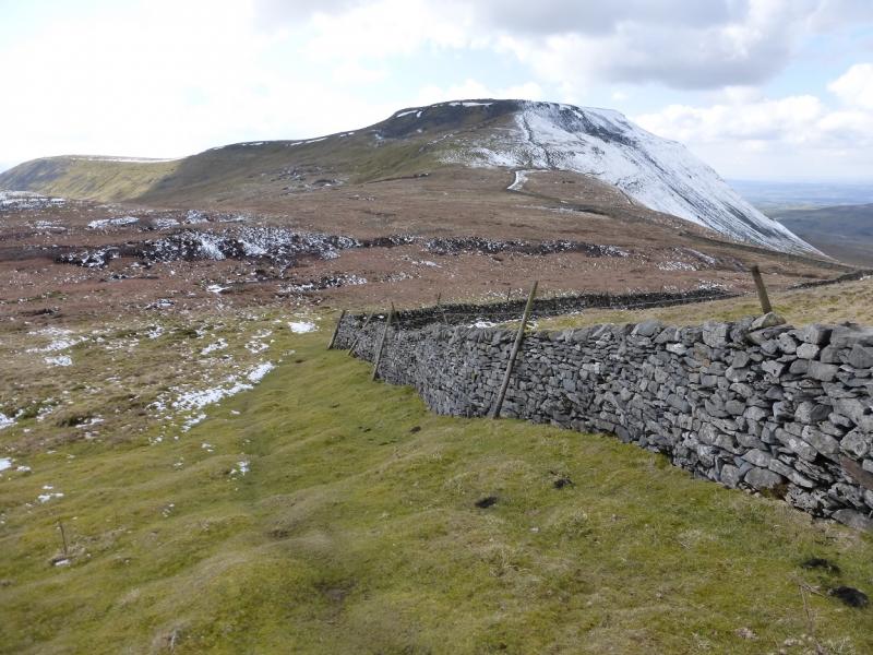
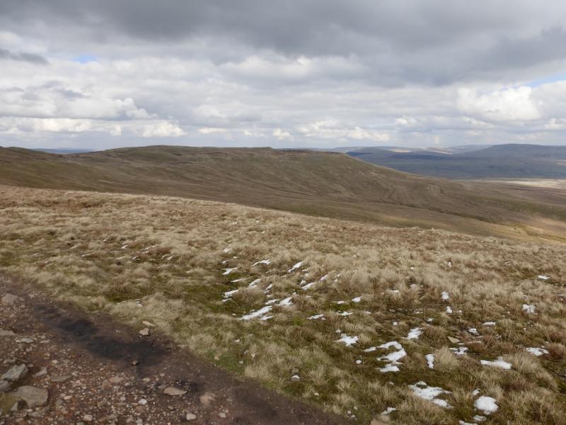
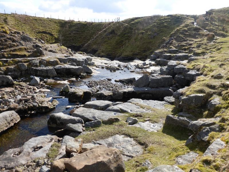
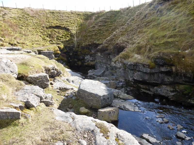
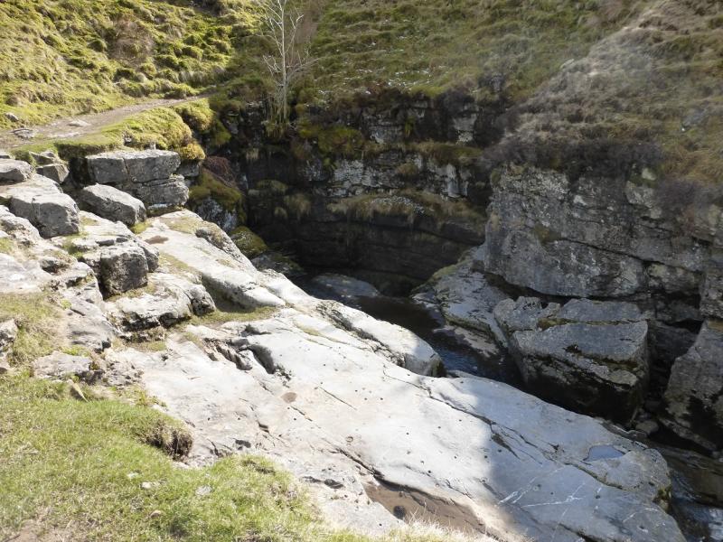
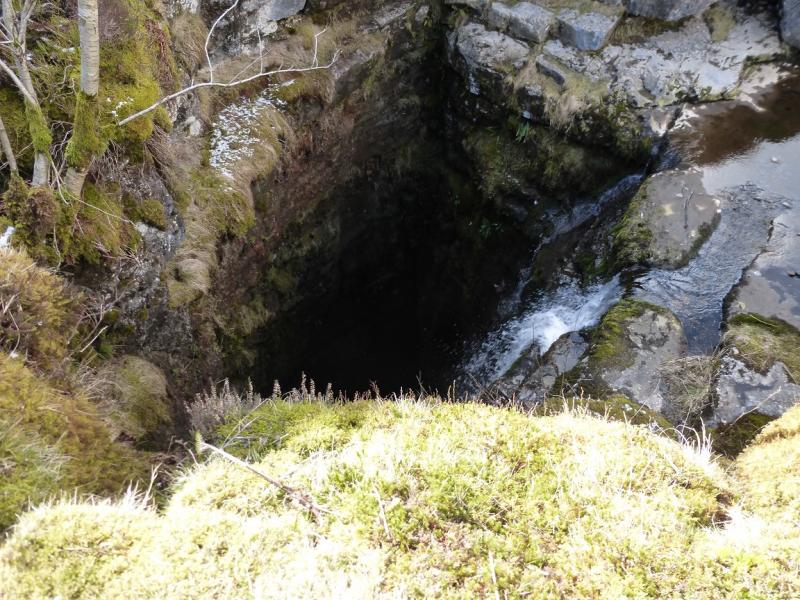
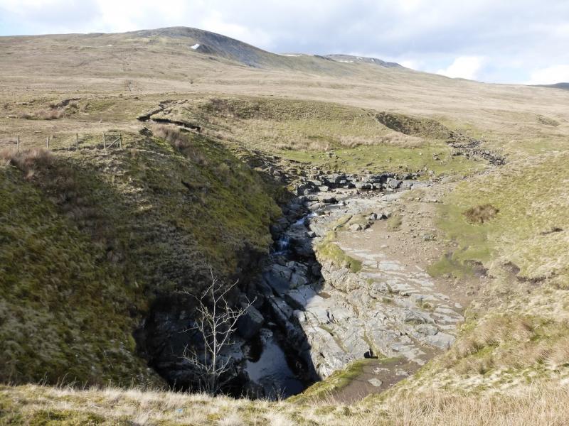
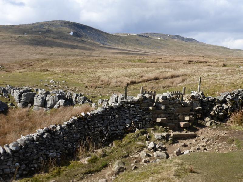
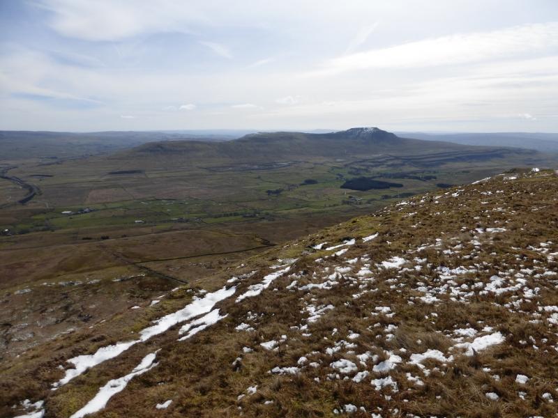
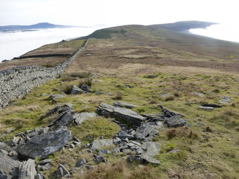
(1) Walk up the road on the E side of Clapham Beck (which will be on your left). At the church, go right then left just before an arch. Follow the rough lane up and through a long tunnel. Continue with a wood on the left. At the end of this wood the track splits. Go left, N, with the wood still on the left. This is Long Lane. Follow the undulating track as it passes under Thwaite Scars (to the right). Soon after, Ingleborough Cave will be seen across Clapham Beck which is well below you. Further on, opposite Trow Gill (across Clapham Beck) the lane goes through a gate then goes E/ENE to soon reach another gate. A wall goes roughly N here. Shadow this either by its side or up the bank to the right. A more obvious path soon appears then fades again. Continue up through some eroded limestone pavements to reach another wall going NE. Follow this to a stile just past the almost square enclosure. Cross over and continue on a reasonable path. When the first limestone pavement is reached, go around it on the left then head N to intersect with a meandering stream. Follow this downstream to Juniper Gulf which is not seen until very close. It is essentially a rocky cleft in the ground. It is quite deep so be careful but the cleft is narrow enough in places to place a foot on either side. The stream vanishes underground at the end of the cleft. From Juniper Gulf, head N, across rough ground, to intersect with the main path coming from Horton-in-Ribblesdale. Follow the path up until it crosses a wall. Don't cross but follow a faint path up the side of the wall. Easily cross a wall at the left hand corner then go right and soon reach the medium cairn which marks the summit of Simon Fell, SW Cairn, c 630 m.
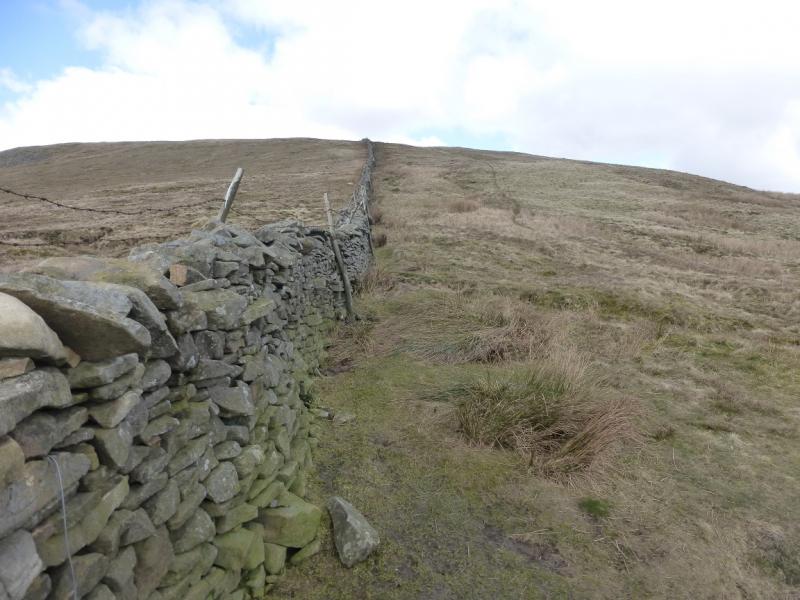
(2) Return to the corner and cross the wide stile. Continue along the wall then cross another stile which is just before another stile by a gate. But don't cross this stile. Turn left, slightly uphill, and follow the wall, on an obvious path, to the highest point on Simon Fell where there is a tiny cairn just off the path on the right which marks the true summit of Simon Fell (highest point), 650 m.
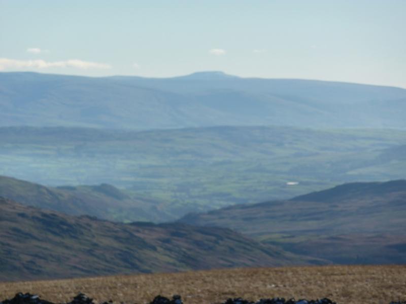
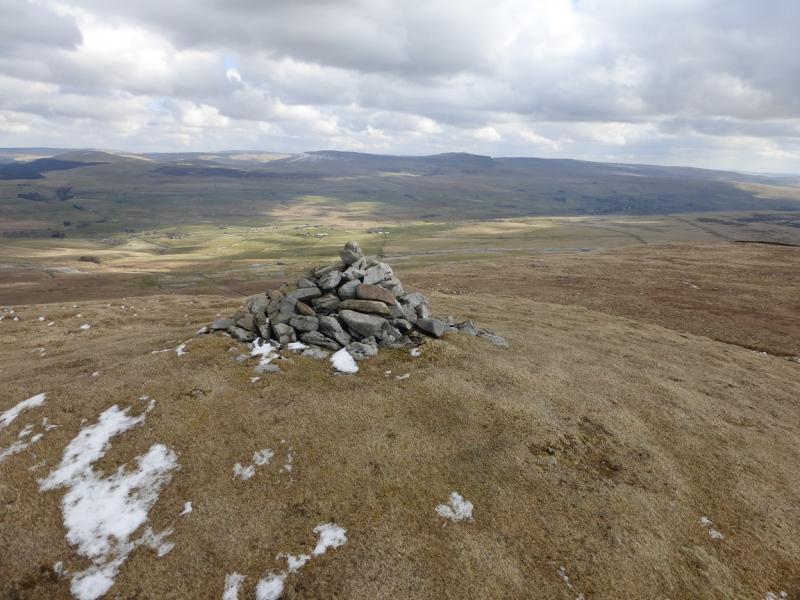
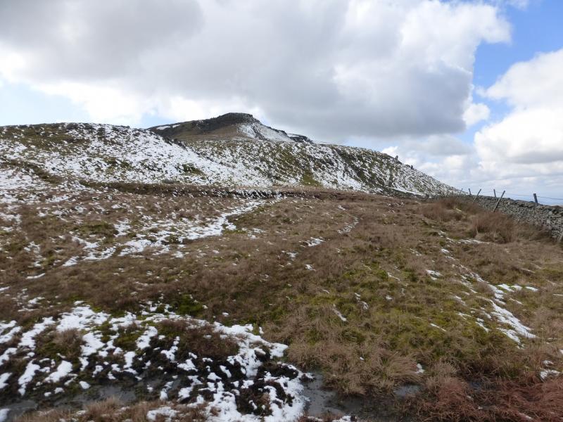
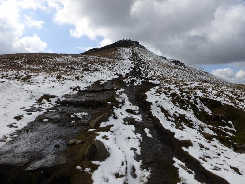
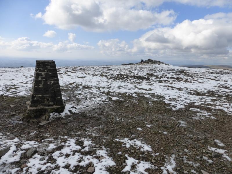
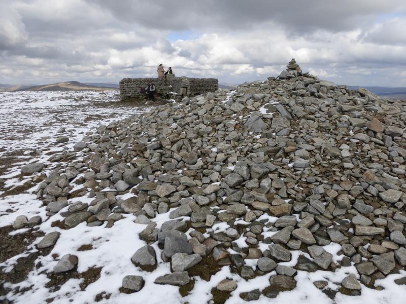
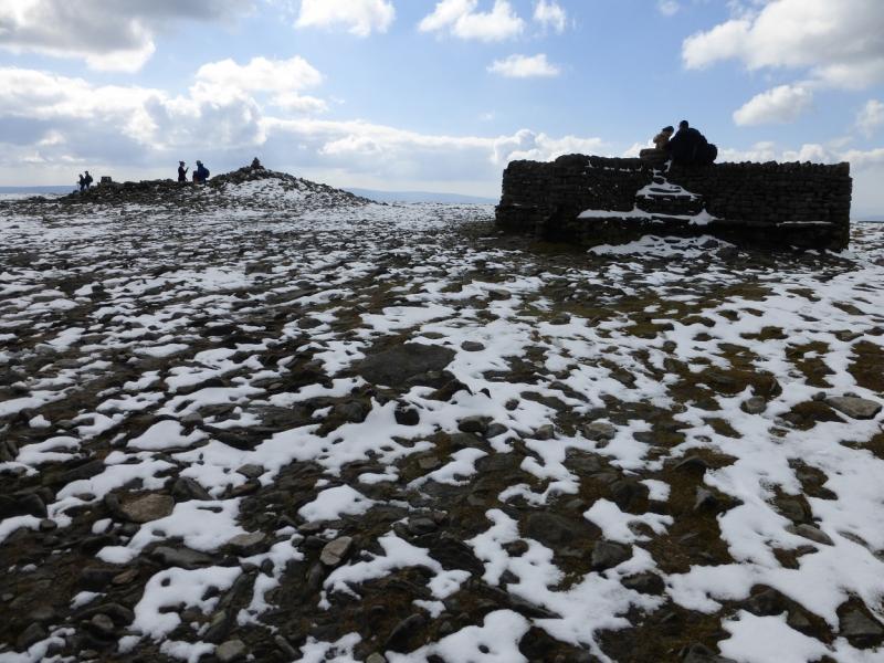
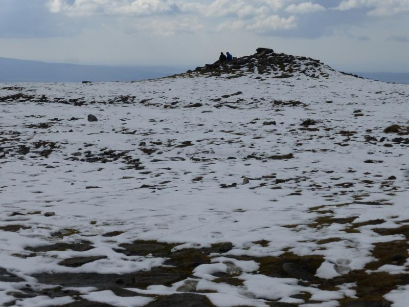
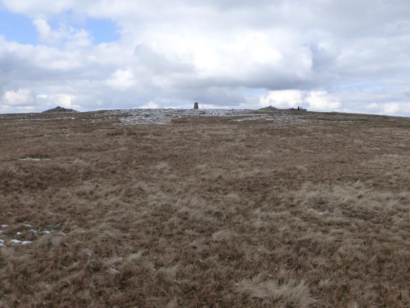
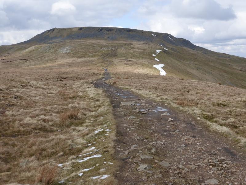
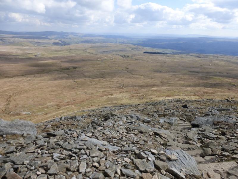
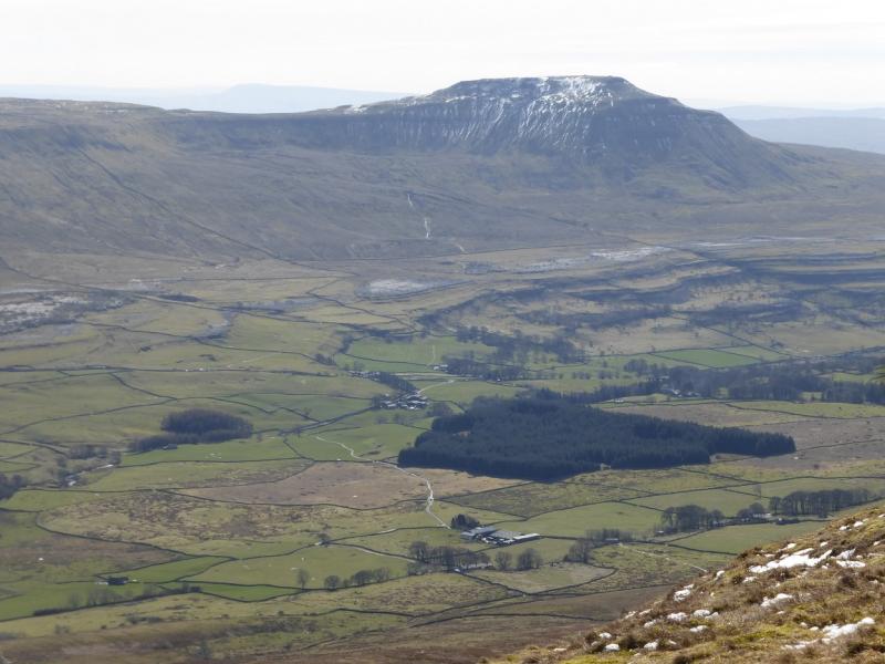
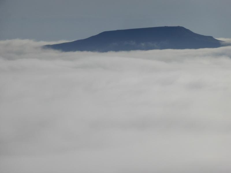
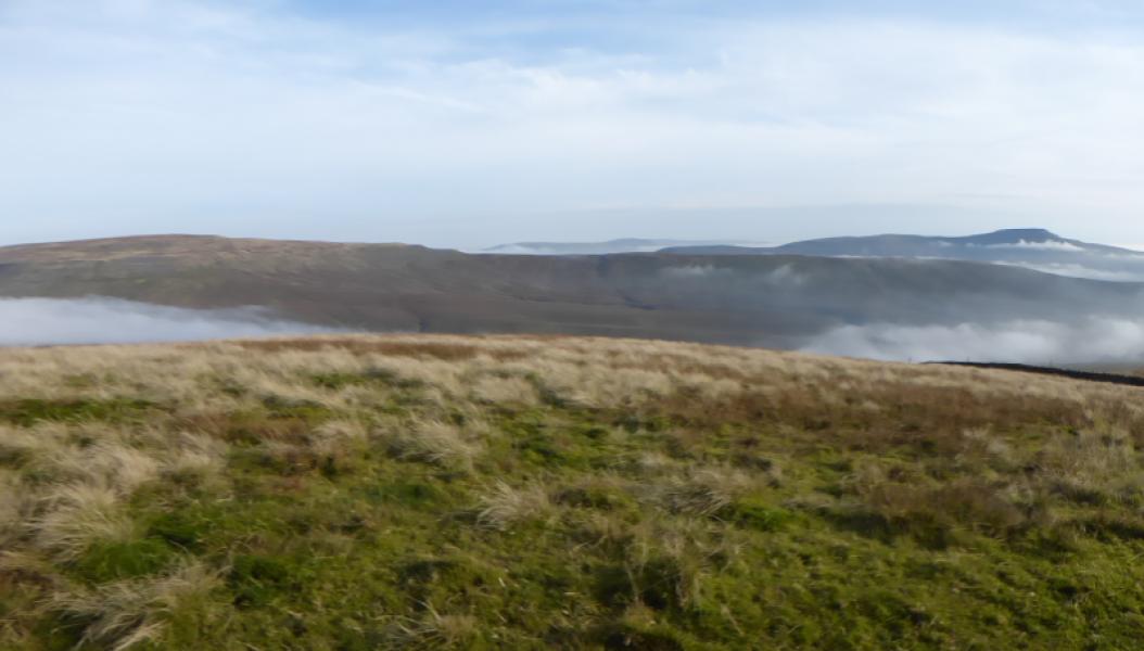
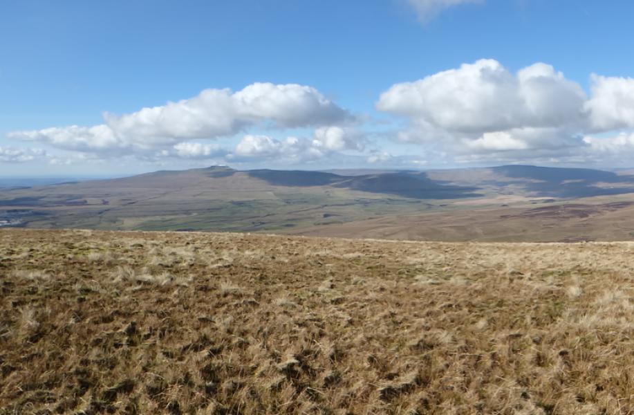
(3) Continue alongside the wall with hardly any descent until the main path from Chapel-le Dale joins in as a reverse right fork. Go through a gate and start ascending the mainly slabbed path up Ingleborough. Higher up, the path from Horton joins as a reverse left fork. Note this as it will be used for the descent. Continue up to reach the eastern end of the extensive stony Ingleborough plateau. Follow the “path” continuation along the edge of the plateau, heading west. In clear weather the summit area will be very obvious but it would have to be very misty not to see it at all however be careful in thick mist. The summit area comprises a cross shelter cairn, a trig point and two mounds of which the most westerly one is the highest point (higher than the trig point) and so is the summit of Ingleborough, 724 m.
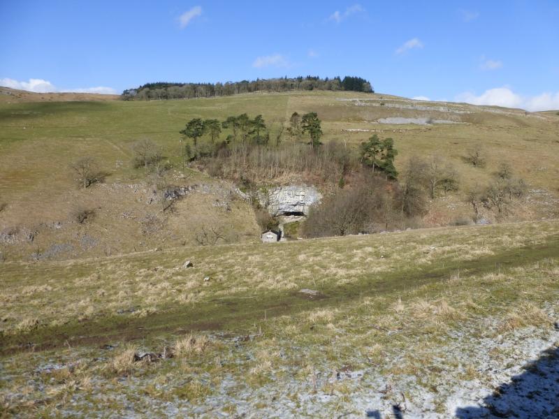
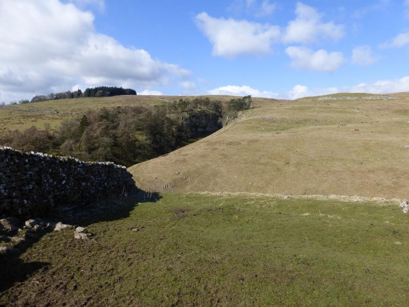
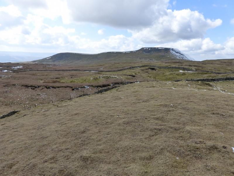
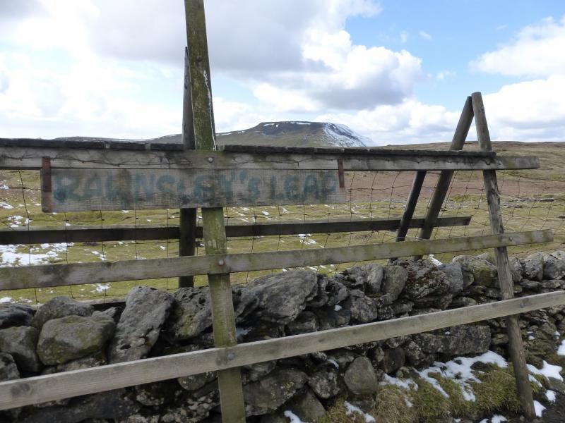
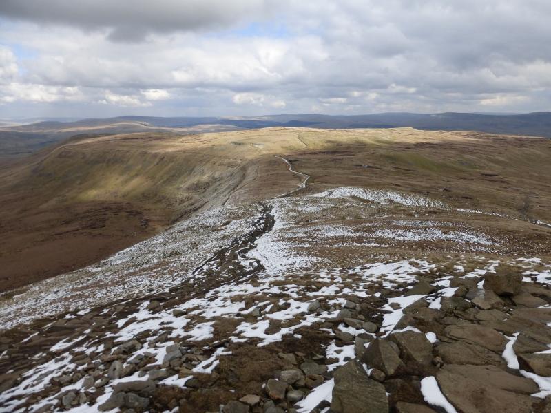
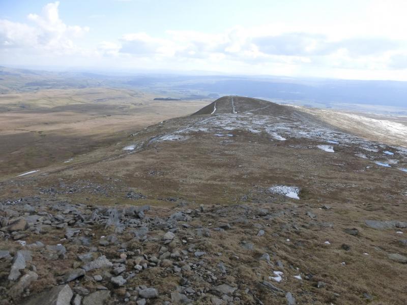
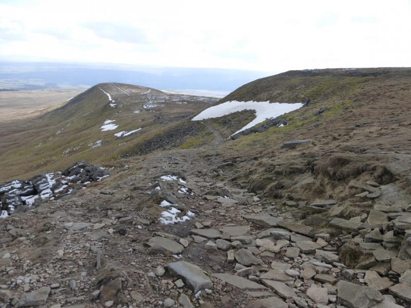
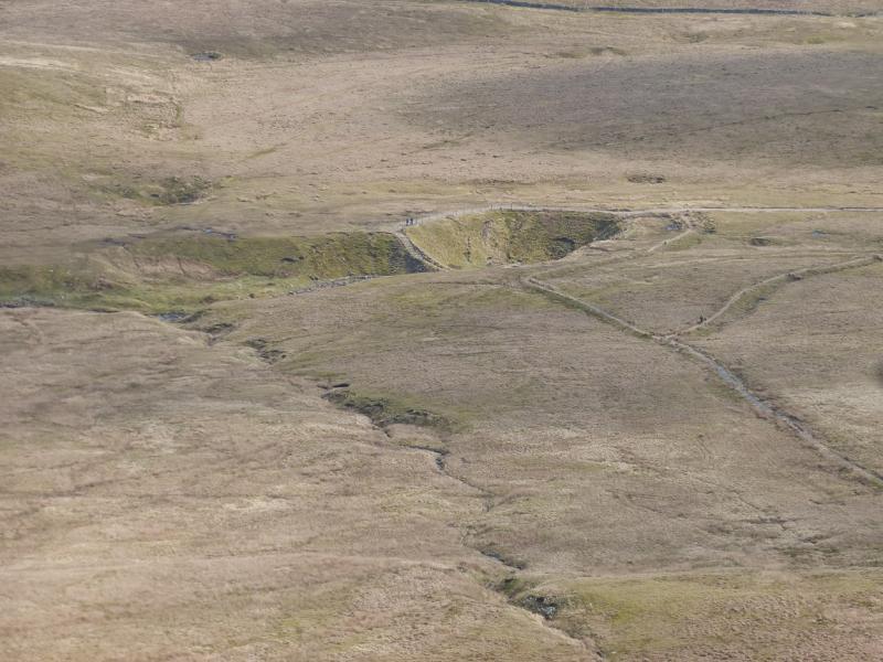
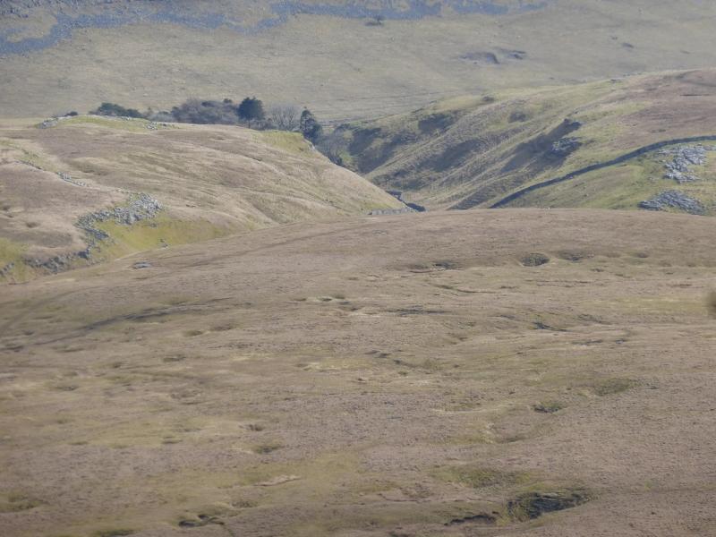
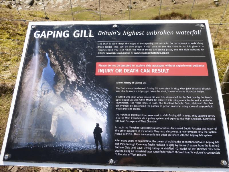
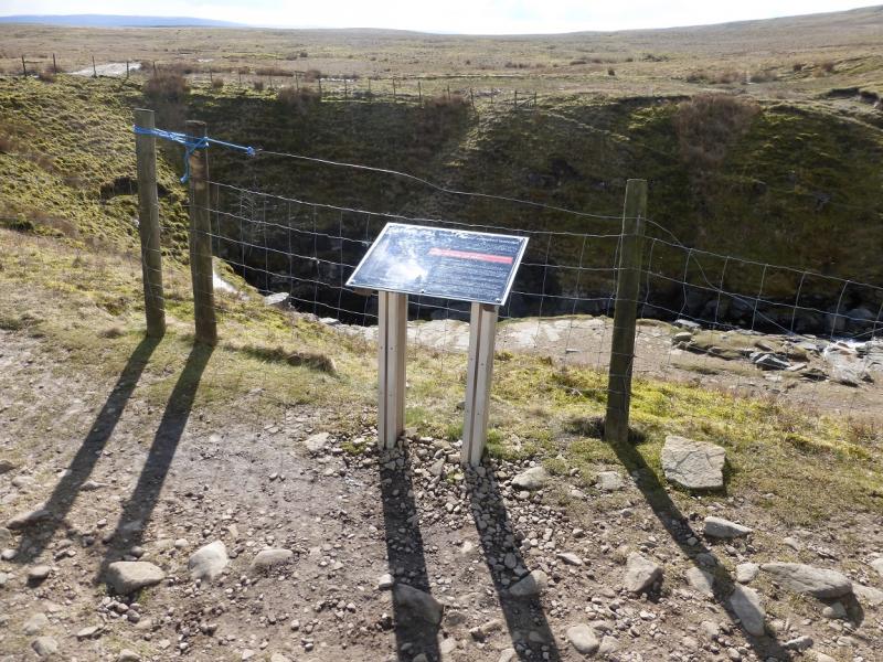
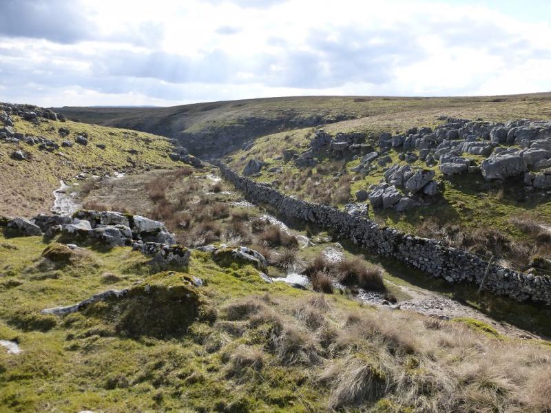
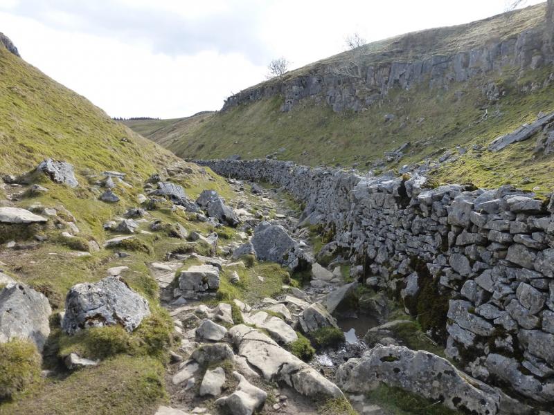
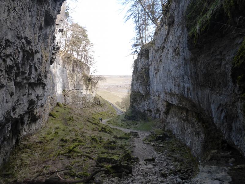
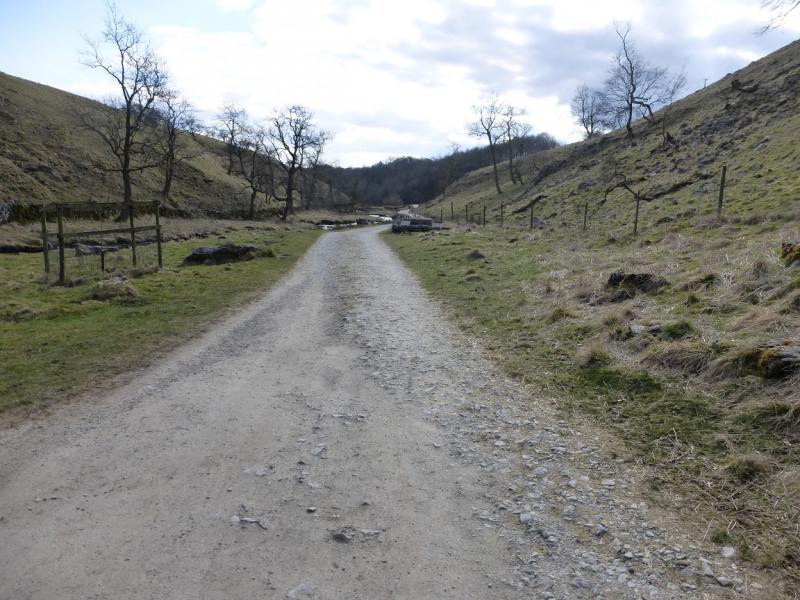
(4) Walk E from the summit to the edge of the plateau to find a cairn and a path which drops off the plateau and goes S to Little Ingleborough where the path splits. Take the left fork going SE and descend steeply on a stepped path which becomes stepped slabs lower down. This path leads to Gaping Gill where Fell Beck goes into a hole about 100 m deep. The area around Gaping Gill is only partially fenced off so be very careful as a path goes to a very exposed position. Falling into the hole would be fatal given the drop so don't get too close to the edge. Continue S, on the obvious path which enters a dry limestone valley after crossing a wall. The path follows a wall down the valley and is quite stony. Almost at the bottom, high limestone cliffs appear on both sides. This is Trow Gill. Continue down and follow the path which soon reaches the entrance to Ingleborough cave. Refreshments are available here if it is open. Continue past the cave on the obvious vehicle track and follow it back to Clapham. When almost in the village, the path becomes a toll path and you may be charged for using it. The alternative is to take the right of way to join the Old Road then into Clapham.
Notes
(a) This walk took place on 25th March, 2015.
(b) Omitting Simon Fell would save almost an hour. To do this just stay on the path from Horton-in-Ribblesdale and follow it up Ingleborough.
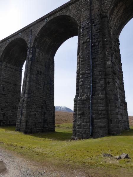
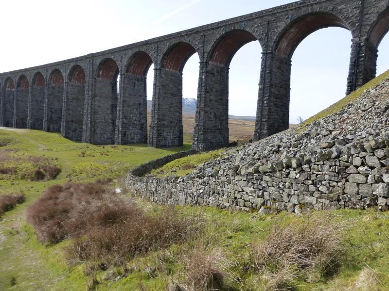
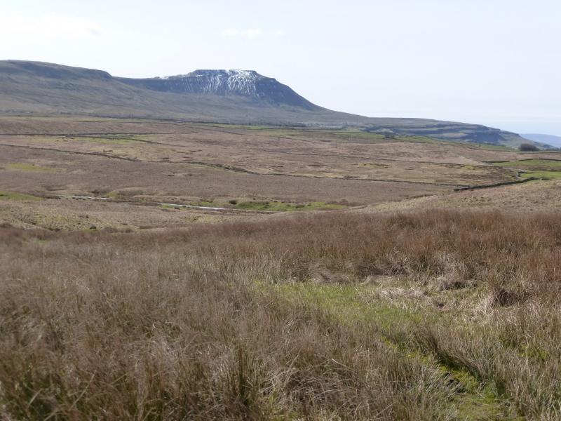
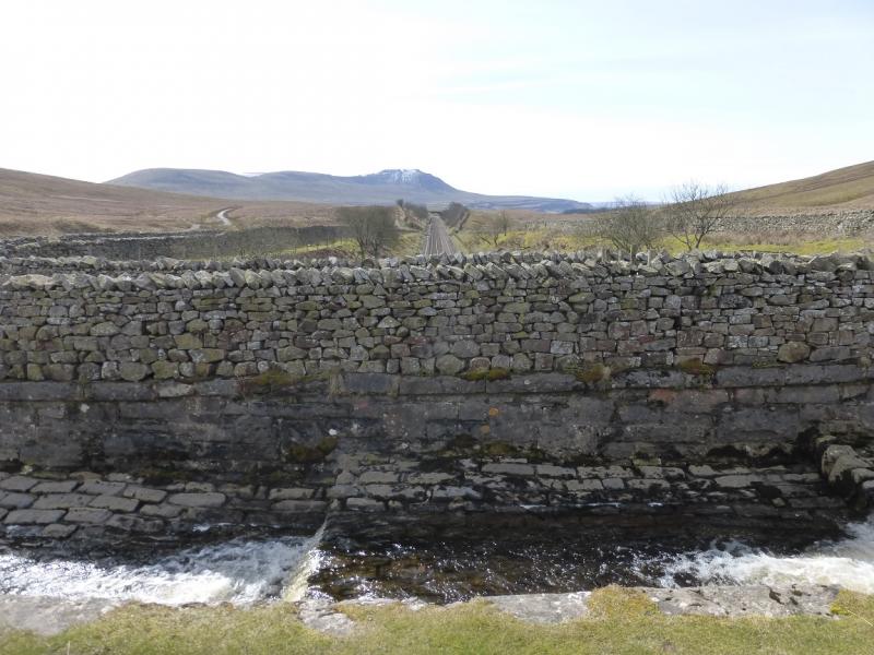
Photos - Hover over photo for caption. Click on to enlarge. Click on again to reduce.