Get Lost Mountaineering
You are here: England » Yorkshire Dales » Western Area
Whernside via Blea Moor from Ribblehead
Whernside via Blea Moor from Ribblehead
Start/Finish
Ribblehead which is about 5 miles north east up the B6255 road (to Hawes) from Ingleton which, itself, lies on the A65 road from Skipton to Kendal. There are various parking places near Ribblehead but these can soon fill up at busy times. There is a pub at Ribblehead for those in need of refreshments. There is also a train station as Ribblehead sits on the famous Settle to Carlisle line. The walk is only slightly extended if starting from the station and some will prefer to travel in by train.
Distance/Time
12 km About 4 – 5 hours
Peaks
Whernside, 736 m, SD 738 814. OL2 Yorkshire Dales: Western Area
Introduction
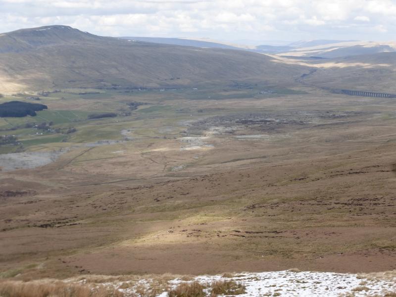
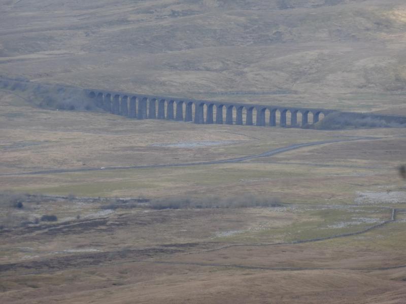
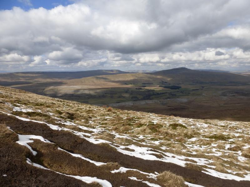
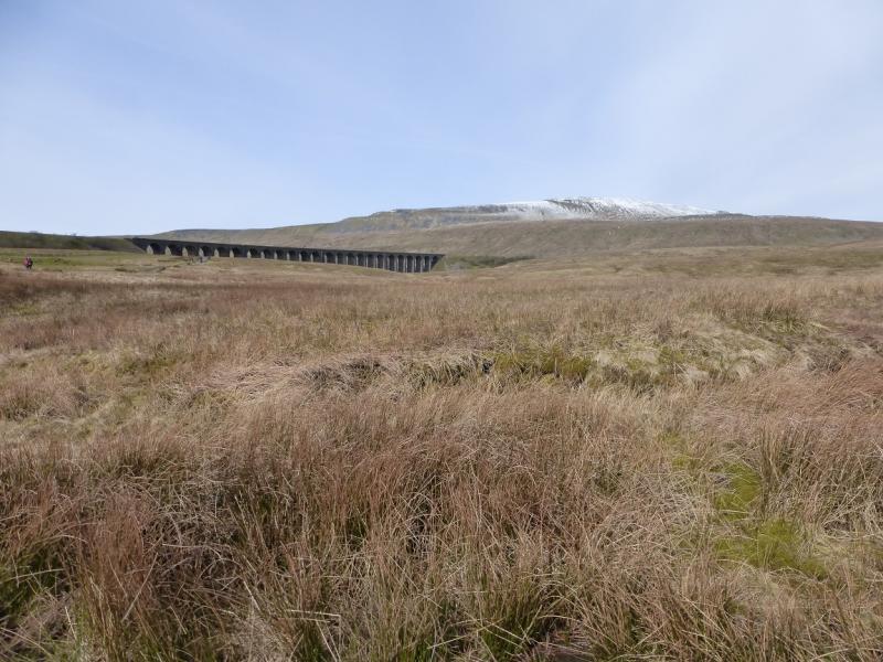
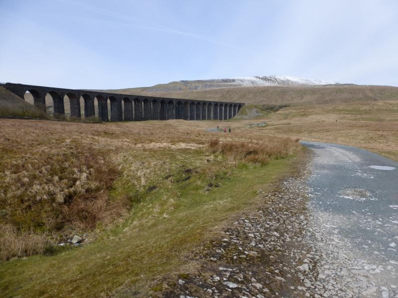
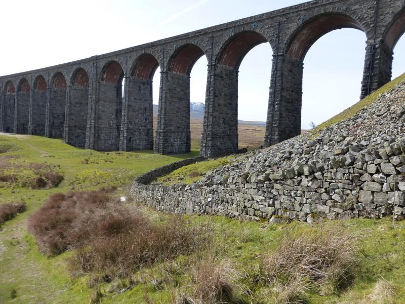
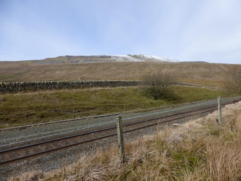
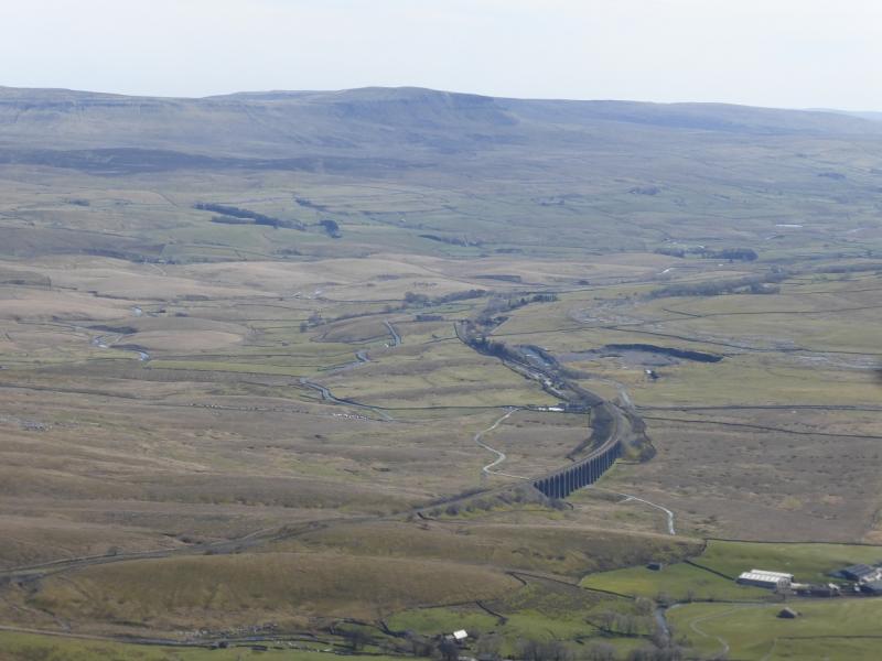
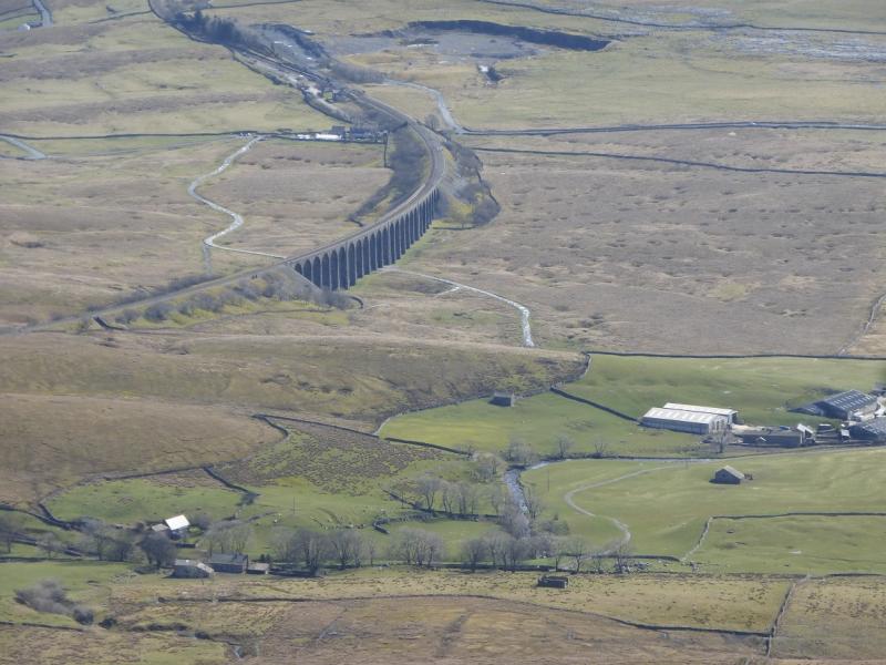
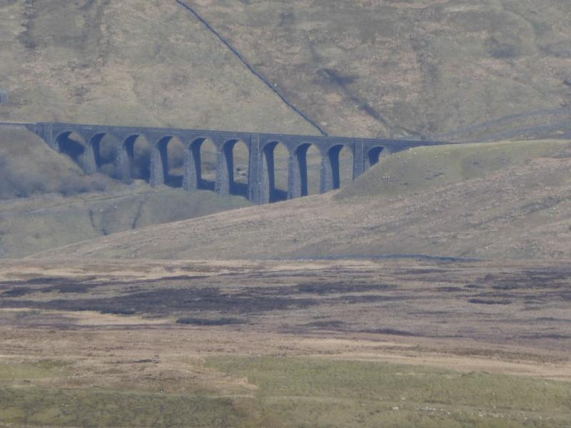
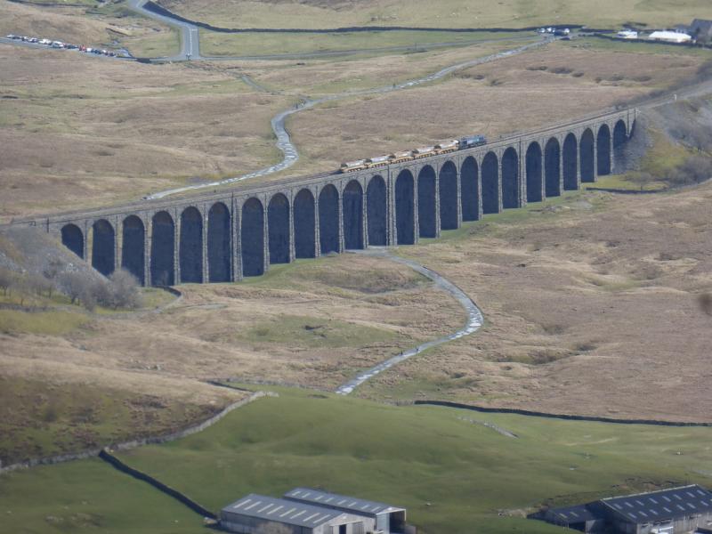
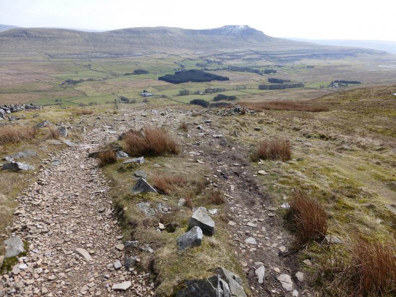
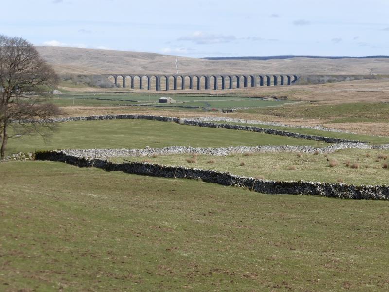
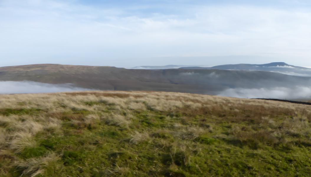
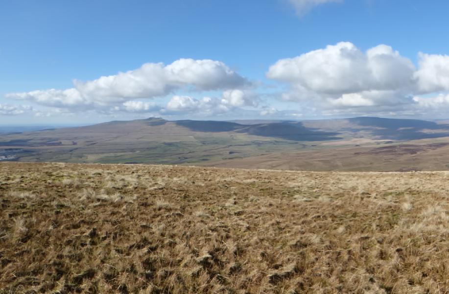
Whernside is the highest of the famous “3 Peaks” with Pen-y-Ghent and Ingleborough being the other two. This route offers a pleasant circuit and the path has been significantly improved in recent years. There are fine views in all directions including Pen-y-Ghent, Ingleborough, Great Coum and the Howgills but, for many, the highlight of the walk is Ribblehead Viaduct on the Setlle to Carlisle line. You are likely to see several trains during your walk. If you are lucky, you may even see a steam train!
Route
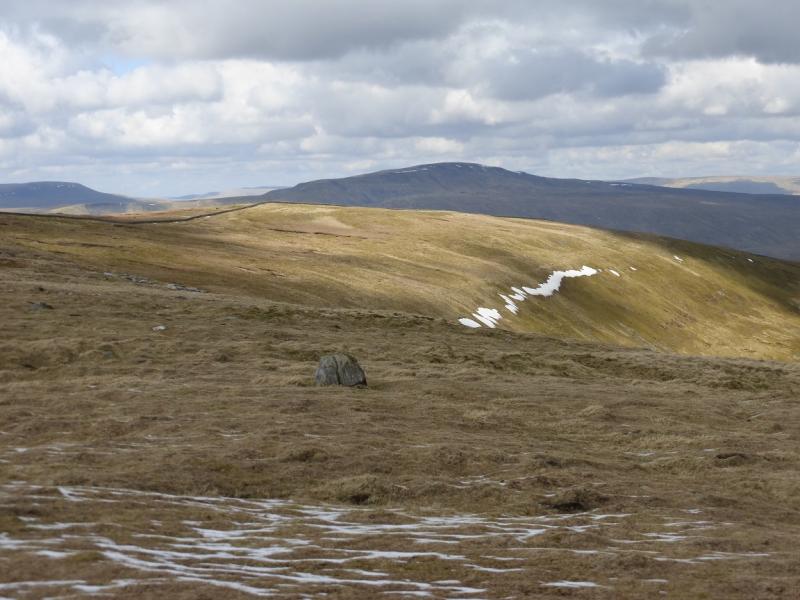
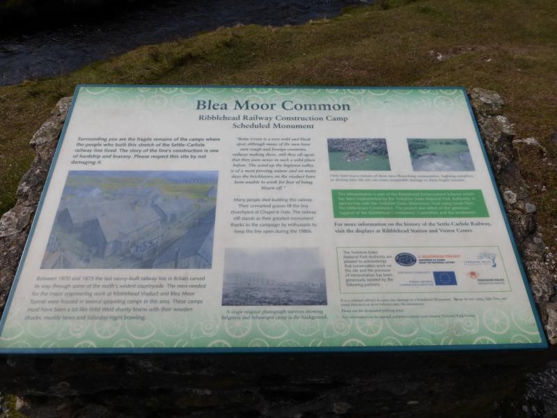
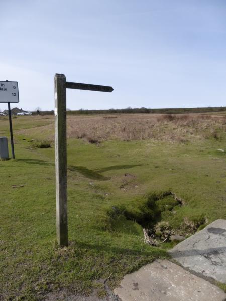
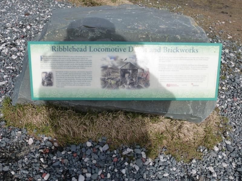
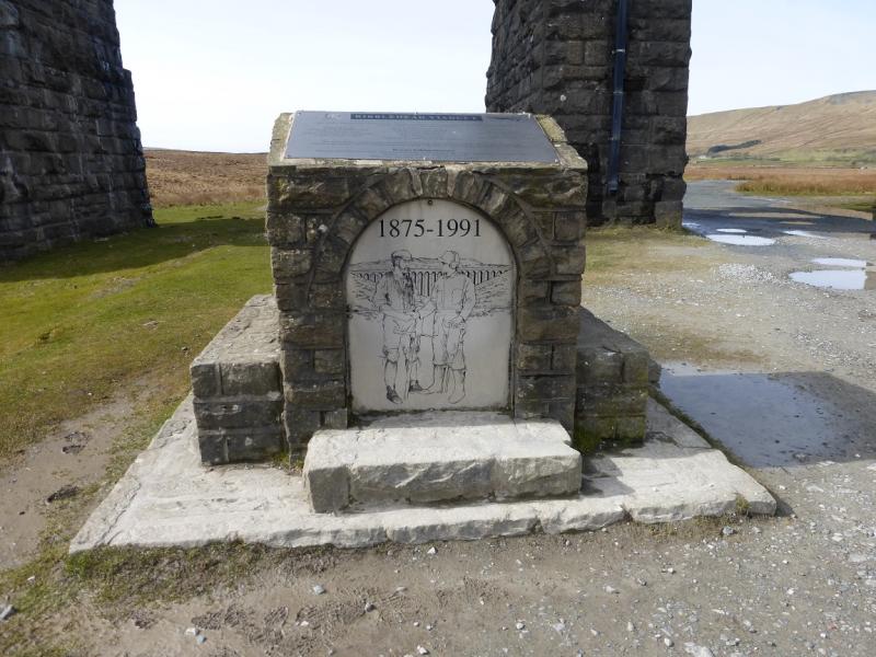
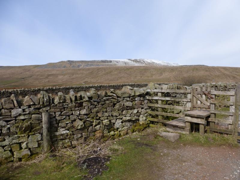
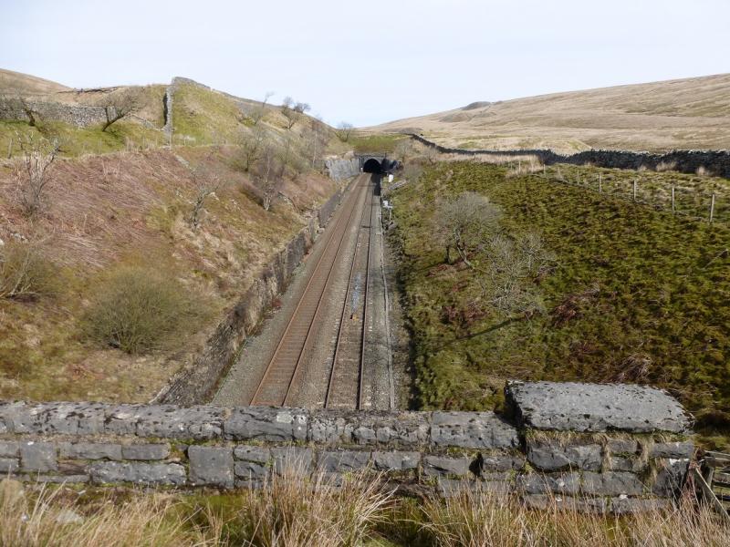
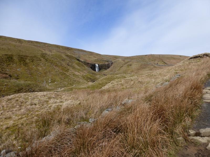
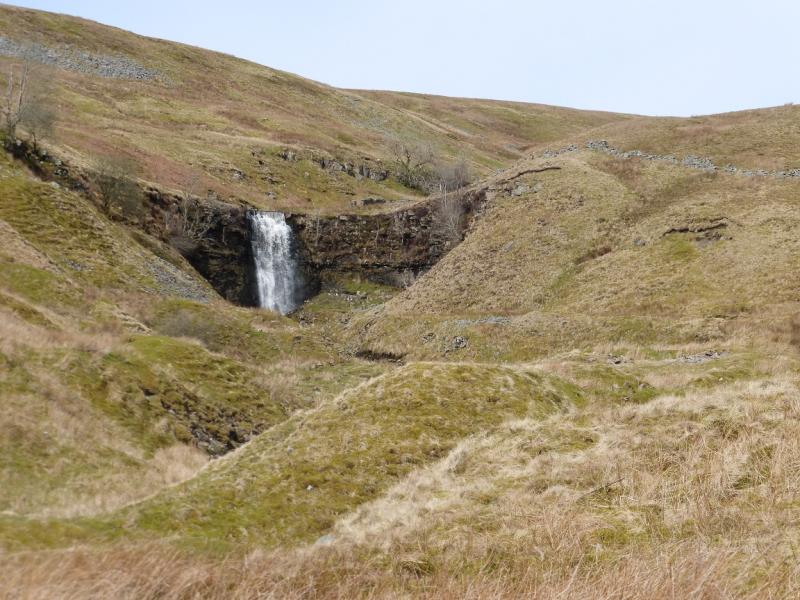
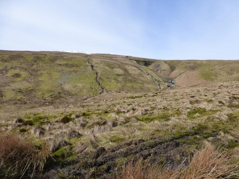
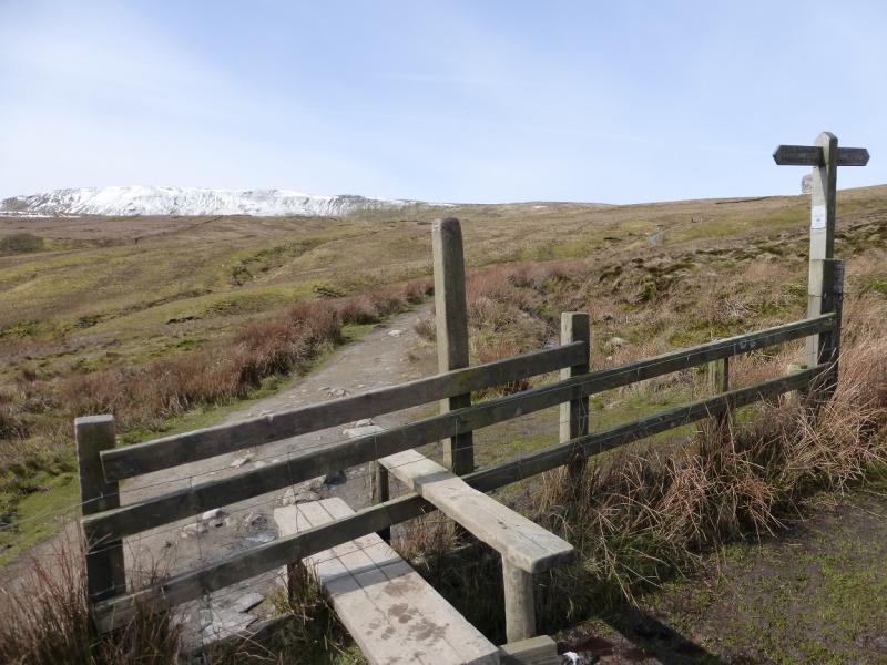
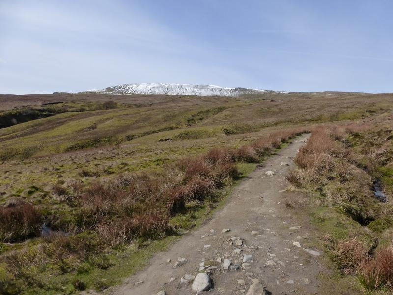
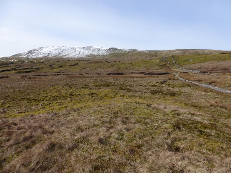
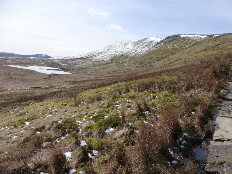
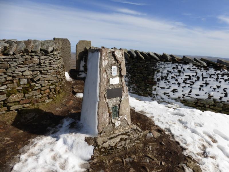
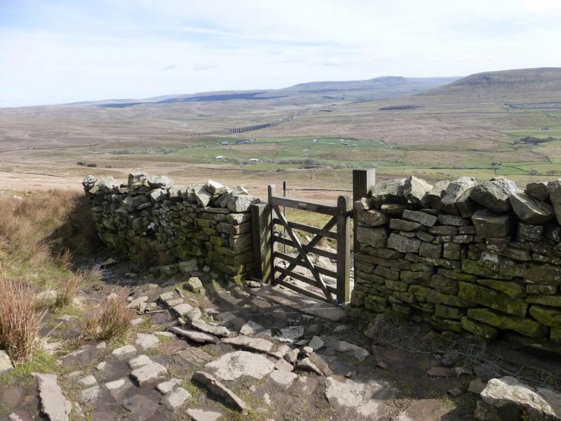
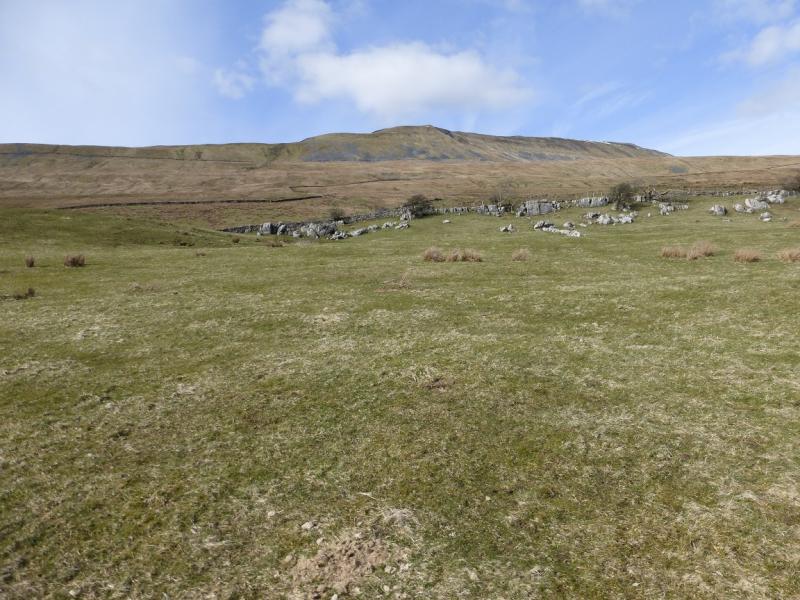
(1) Take one of the obvious paths to the viaduct (it depends on where you are parked) which is named as Batty Moss Viaduct on the map. It is worth wandering around under the arches for a few minutes and reading the plaques. Take the path to the E of the railway which ascends gently and is fairly obvious (the railway will be on your left). Continue on the good path, heading roughly N. About 2 km from the viaduct, the path crosses the railway on a substantial bridge before ascending NNW up Slack Hill. Force Gill waterfall should be seen from this ascent. In under 1 km, a junction is reached. Go left, over the stile, and follow the obvious path almost due E across Grain Ings. The path gradually curves around to join the N ridge of Whernside above Greensett Moss Tarn. Go S along the ridge and soon reach the trig point which marks the summit of Whernside, 736 m. This lies behind the wall running along the ridge and it is a tight squeeze to get through the narrow gap.
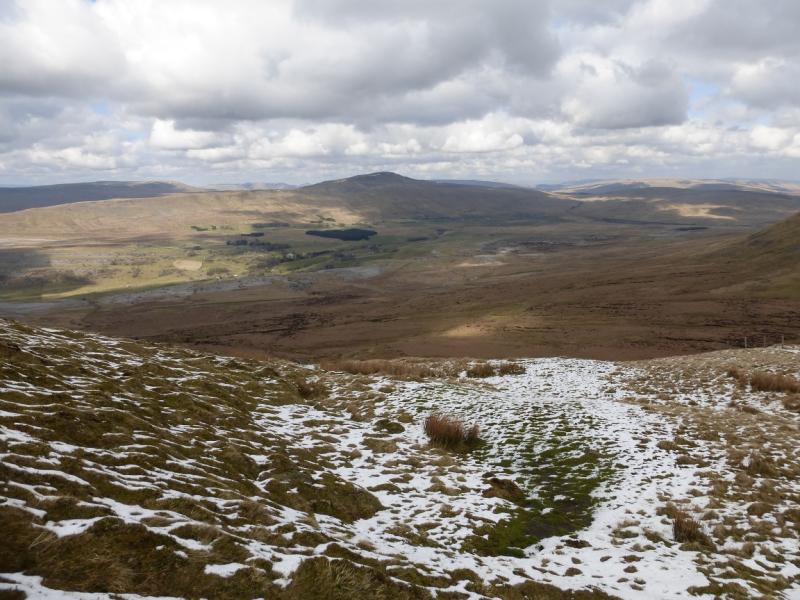
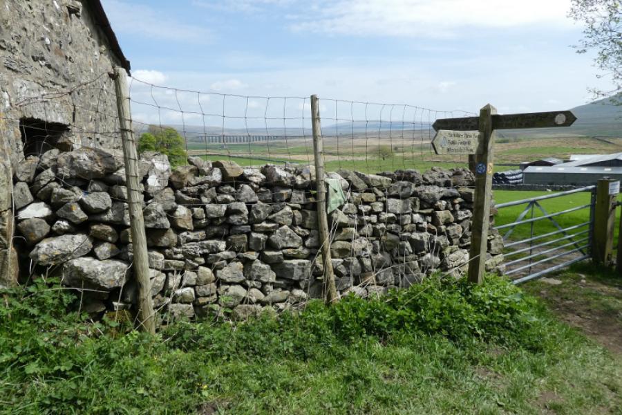
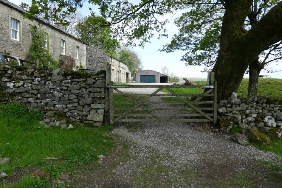
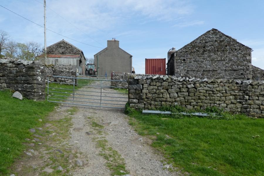
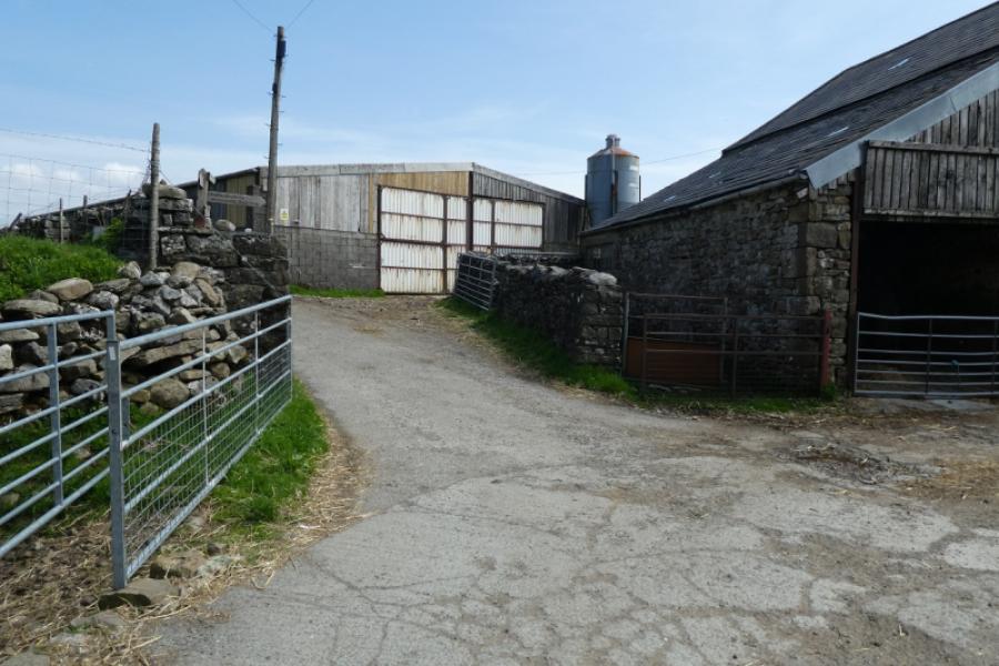
(2) Continue along the crest for just over 1 km to reach a dip in the ridge where the obvious path leaves the crest and descends SSE. (There is only a faint path continuing along the crest.) The descent path is slabbed in places and some will find it hard on the knees. Follow it down towards Bruntscar. At the bottom, go left, roughly ENE to Broadrake then Ivescar. There are signs but they are not that obvious. Continue, still going ENE, to Winterscales farm. About here, the path/track goes E then N before soon reaching the railway at a bridge which leads to the outward route. Turn right and soon reach Ribblehead Viaduct and the start.
Notes
(a) This walk took place on 2nd April, 2015, and many times before.
(b) An alternative route is possible for the final section of the return. On the ENE track, look for a sign saying Winterscales Beck (right turn) at Ivescar. Then either follow the track all the way to Winterscales Beck then go loeft to reach the bridge at Gunnerfleet Farm. Cross over the beck and follow the track which passes under the viaduct. There is another alternative! Just after leaving Ivescar, there is a footpath sign which cuts out a big corner if the track were followed but the path is not that distinct and goes over a very minor hill.
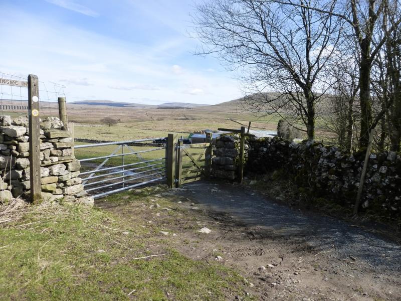
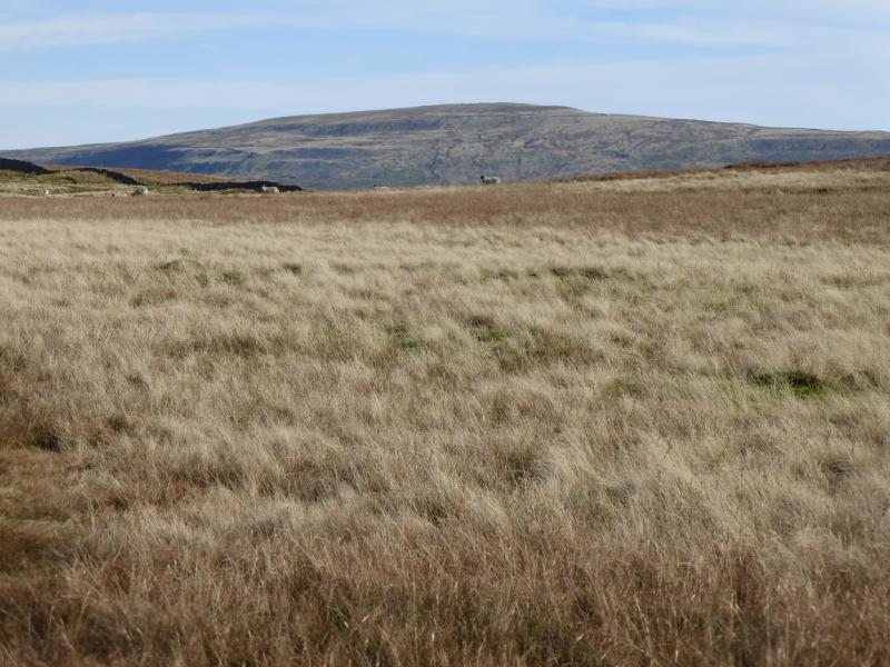
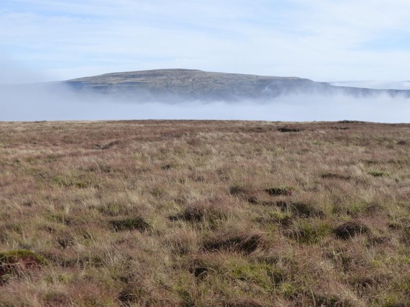
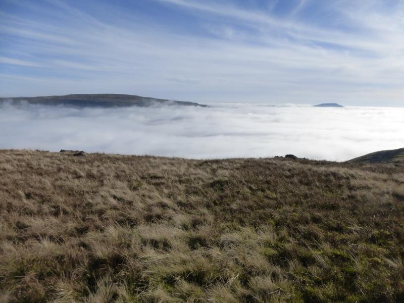
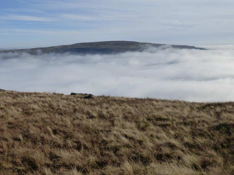
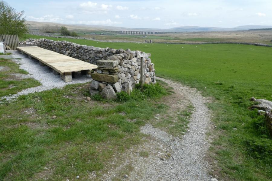
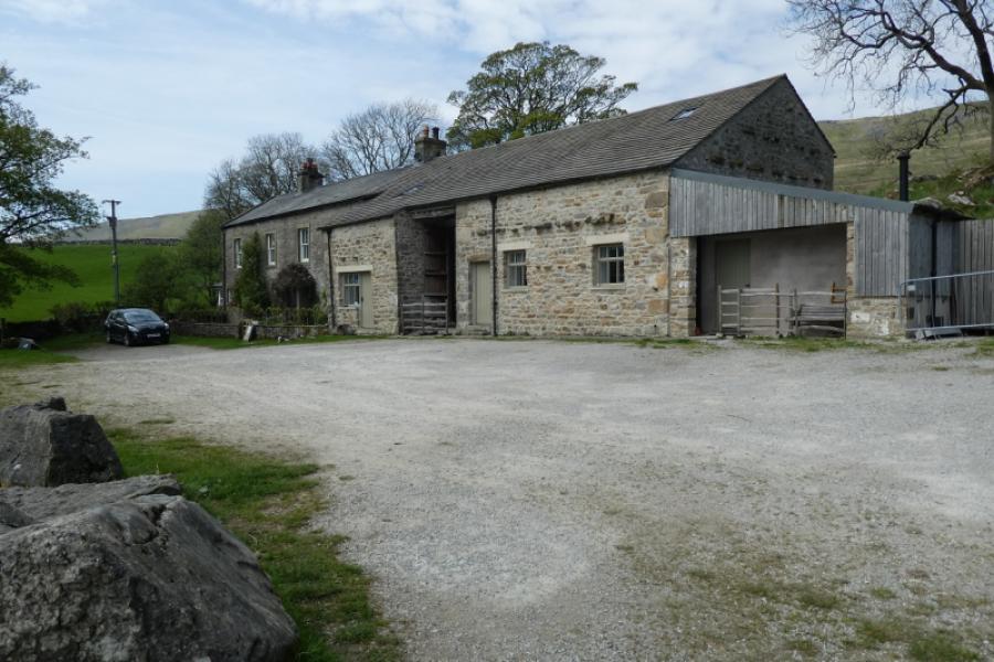
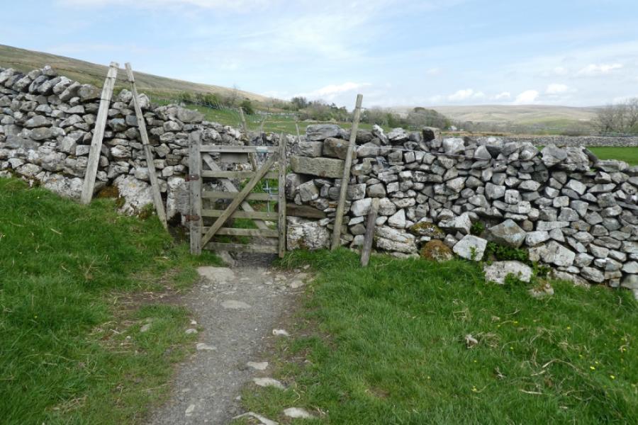
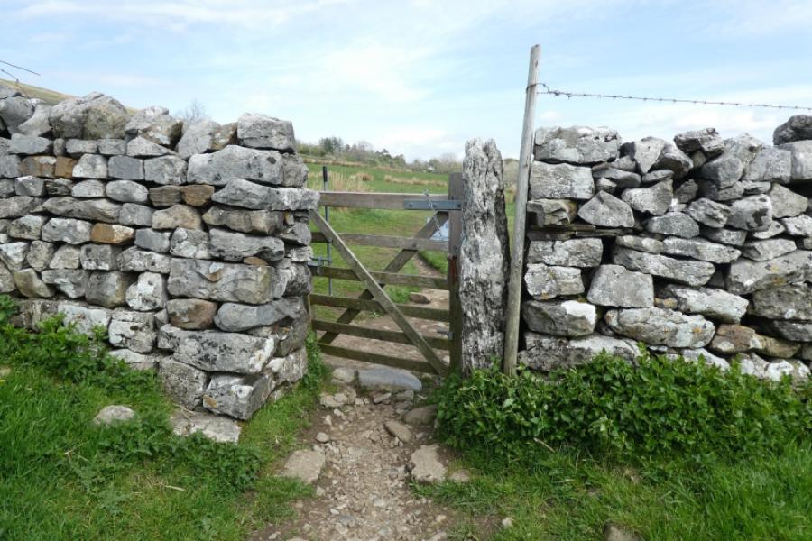
Photos - Hover over photo for caption. Click on to enlarge. Click on again to reduce.