Get Lost Mountaineering
You are here: England » Lake District » 3 Central Fells
High Rigg from Legburthwaite
High Rigg from Legburthwaite
Start/Finish
Either the small free parking area by the phone box or the larger pay car park in the Recreation Hall grounds. Legburthwaite is on the junction of the A591 Ambleside to Keswick Road and the B6322 road through St. John's in the Vale. The parking is a very short distance up the B road. There is a United Utilities about 400 m north up the Vale but this is in a poor state of repair, the toilets (on 1st April, 2015) were filthy, it was expensive and looked an insecure place to leave a car.
Distance/Time
11 km About 3 - 4 hours
Peaks
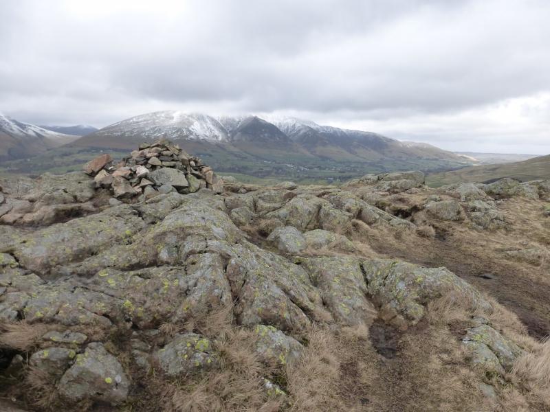
High Rigg, 354 m, NY 309 220. OS 1: 50 000 , Sheet 90.
OS 1: 25 000 Outdoor Leisure 5, English Lake District NE Area.
Introduction
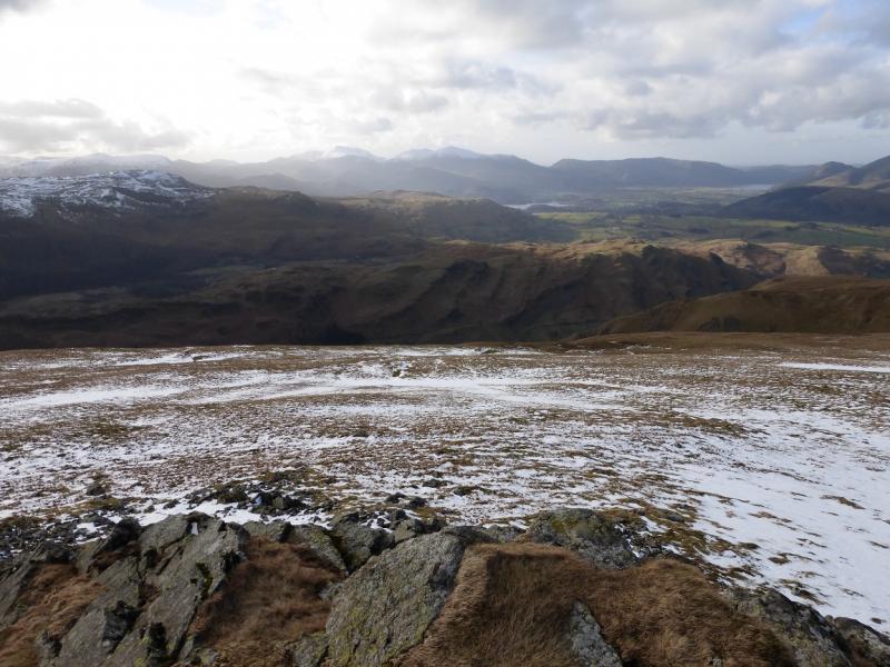
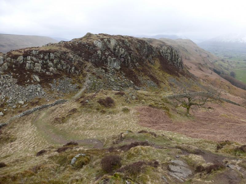
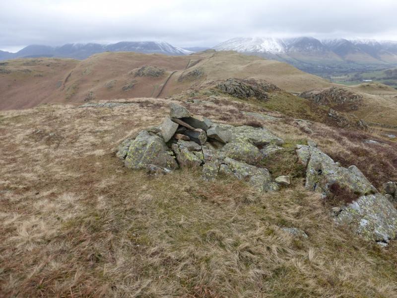
This is a short walk, ideal for a mid-winter's day. There are excellent views of Skiddaw, Blencathra, Clough Head and the Helvellyn range to the S. The ridge is undulating but the ground is very pleasant to walk on and this is a walk not to be rushed.
Route
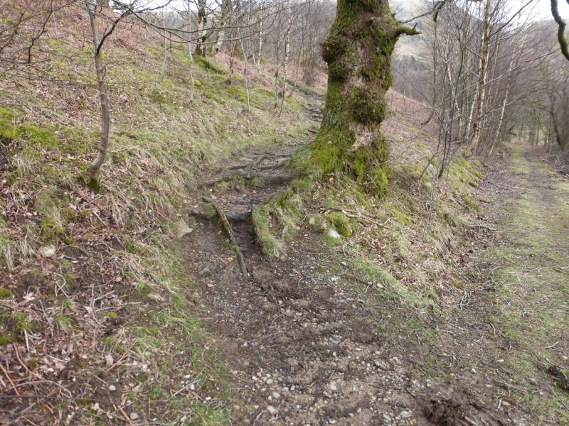
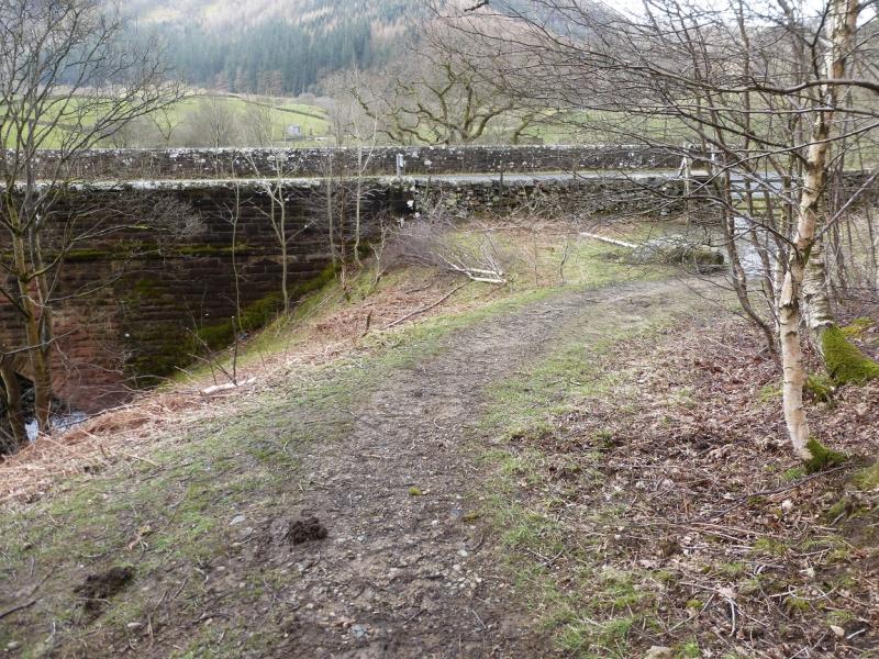
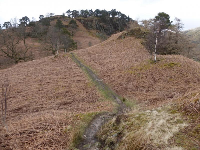
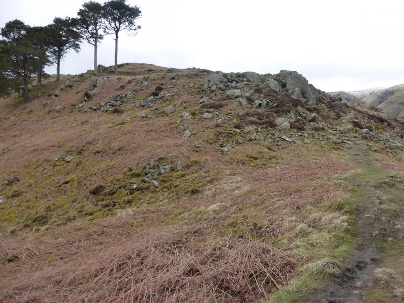
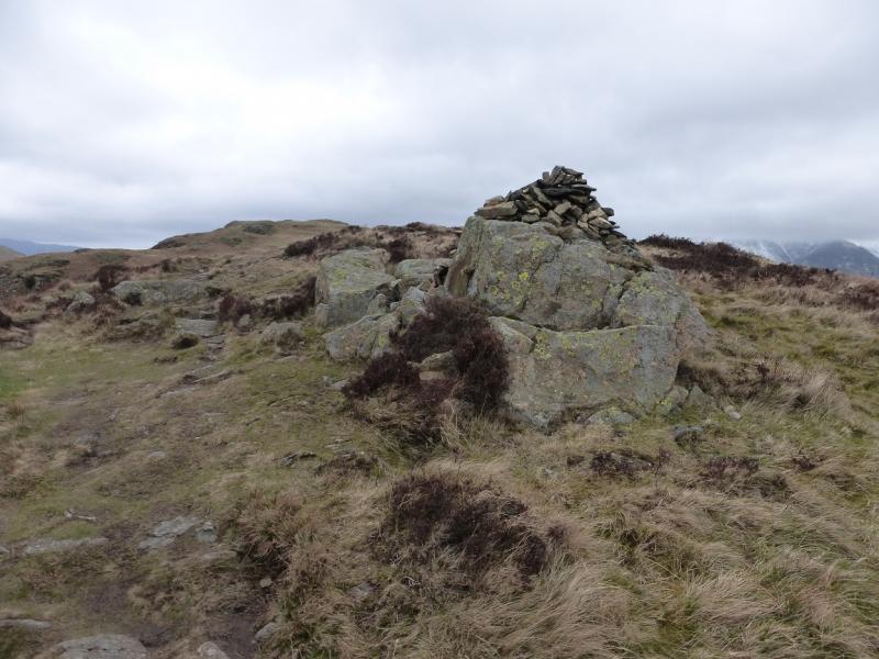
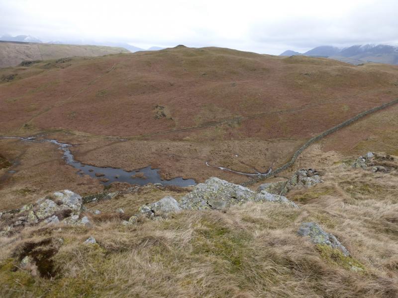
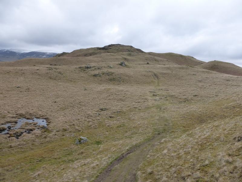
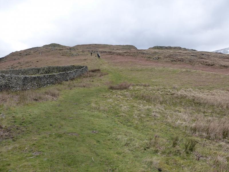
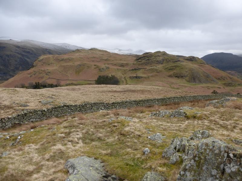
(1) From the phone box, walk up the B road in the Vale to the United Utilities car park. Go through this and take the old road to join the main A591. Walk a short distance towards Keswick, N, cross a bridge then cross a stile which gives access to a path. Follow the path for a short distance and take the first path going left. This is the ascent path. Follow it up. It weaves around a fair bit and avoids some of the many tops but these could easily be included. There is a cairn on the first significant top (S Top) then one on a higher top (Middle Top) before a final ascent leads to a medium cairn which is the summit of High Rigg, 354 m.
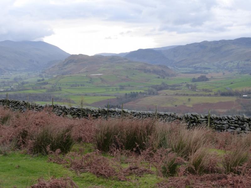
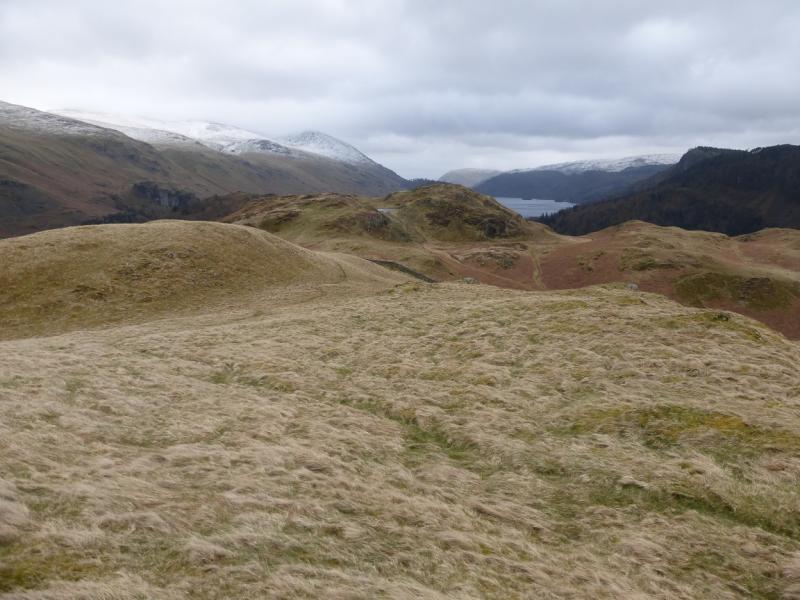
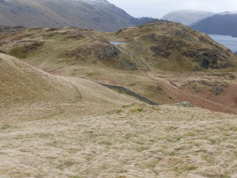
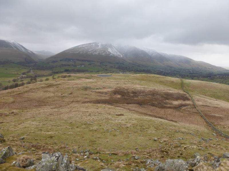
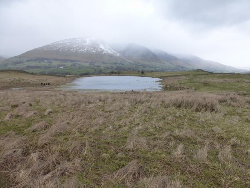
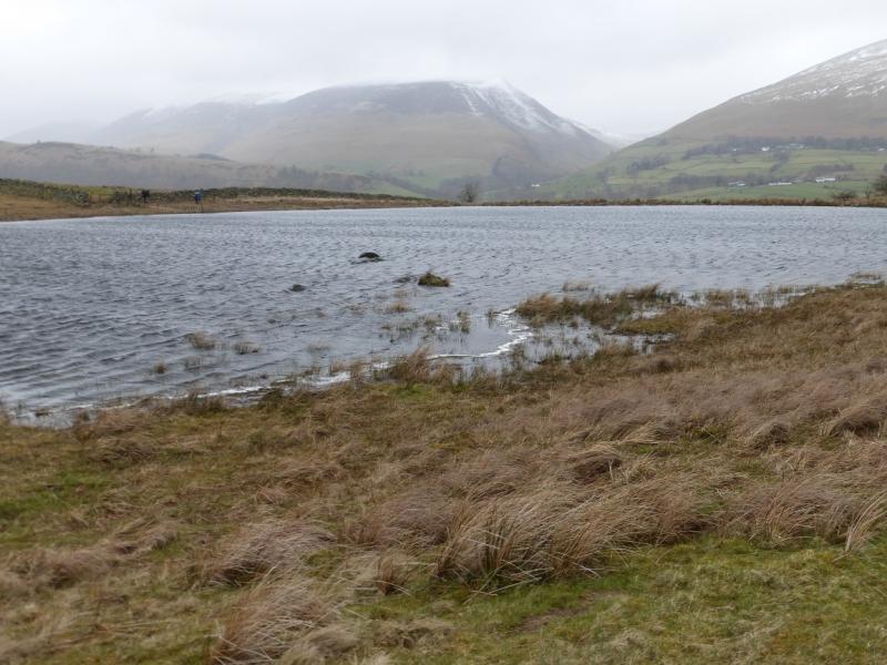
(2) If the only objective is to reach the summit then the best return is by the route of ascent. To continue, descend roughly N on the main path but when it splits fork left and follow the path down to the track and some trees. Once on the track, go right then left through a gate to gain the lower slopes of Low Rigg. A more direct and steeper descent is possible if one goes straight ahead rather than forking left. One would then go left when the track is reached. Follow a path up Low Rigg to reach a wall just below the summit. Unfortunately, there is no stile but a fairly obvious point where people have climbed over. Continue easily to the cairn on the summit. Descend N and head for Tewet Tarn which will be obvious in clear weather. When the tarn is reached go E and pick up a path which retraces but on the E side of the Low Rigg crest which cuts down on the amount of reascending. This path leads to the minor road at St' John's Church. Turn left and walk past the graveyard. Soon after, a signed path goes off right. Take this and follow it all the way back, past Low Bridge End Farm (where teas are available) to reach the stile on the main road used earlier. Go left and retrace the outward route.
Notes
(a) This walk took place on 1st April, 2015.
(b) Missing out Tewet Tarn would save about 35 minutes. In this case, descend E from Low Rigg, over the wall, to the return path.
(c) Missing out Low Rigg and Tewet Tarn would save at least an hour. In this case, walk E along the track, past the church and graveyard to pick up the path soon after.
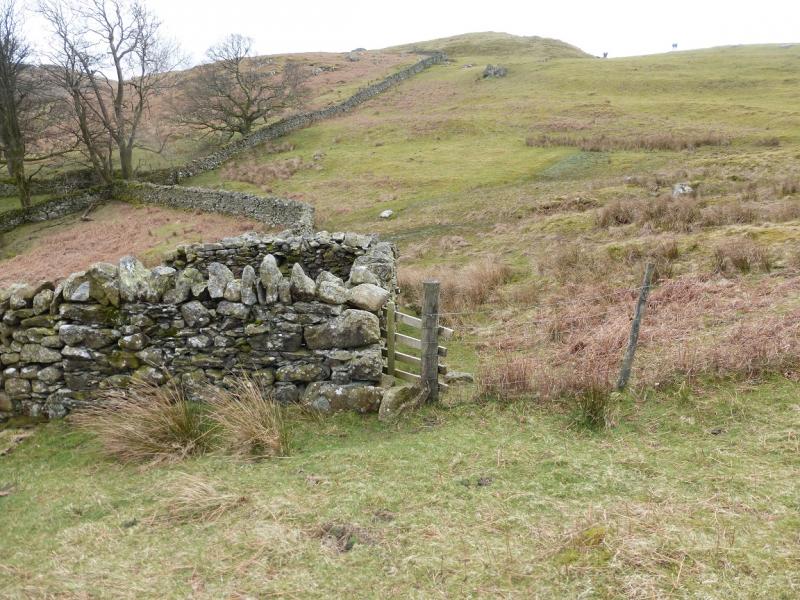
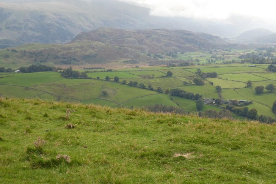
Photos - Hover over photo for caption. Click on to enlarge. Click on again to reduce.