Get Lost Mountaineering
You are here: England » Lake District » 1 Eastern Fells
Middle Dodd, Red Screes, Caudale Moor, Stony Cove Pike & Hartsop Dodd from Harstop from Cow Bridge Car Park by Brothers Water
Middle Dodd, Red Screes, Caudale Moor, Stony Cove Pike & Hartsop Dodd from Harstop from Cow Bridge Car Park by Brothers Water
Start/Finish
Cow Bridge car park which is at the NW corner of Brothers Water which is between Hartsop and Patterdale at the foot of Kirkstone Pass on the A592 road from Windermere to Penrith. The Kirkstone Pass road can be closed in Winter conditions so the start may have to be reached from the Penrith side. In summer, this car park can fill up quite early.
Distance/Time
14 km About 6 – 7 hours
Peaks
Middle Dodd, 654 m, NY 397 096.
Red Screes, 776 m, NY 396 088.
Caudale Moor, c 750 m, NY 414 101.
Stony Cove Pike, 763 m, NY 418 100.
Hartsop Dodd, 618 m, NY 411 118. OS 1: 50 000 , Sheet 90.
OS 1: 25 000 Outdoor Leisure 5, English Lake District NE Area.
OS 1: 25 000 Outdoor Leisure 7, English Lake District SE Area.
Introduction
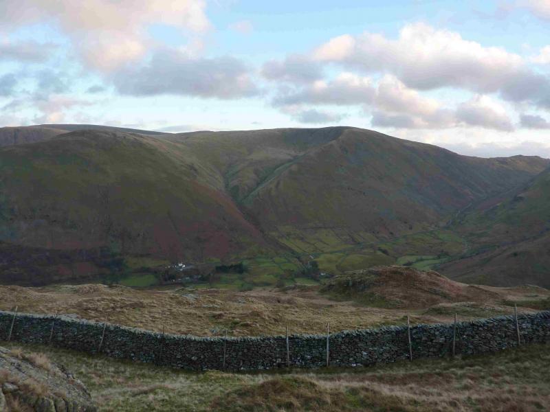
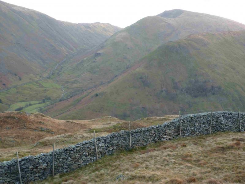
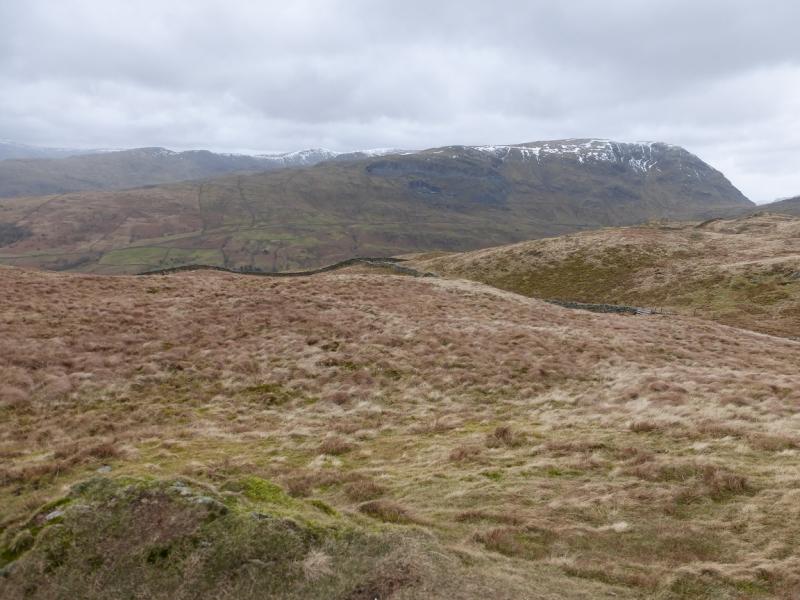
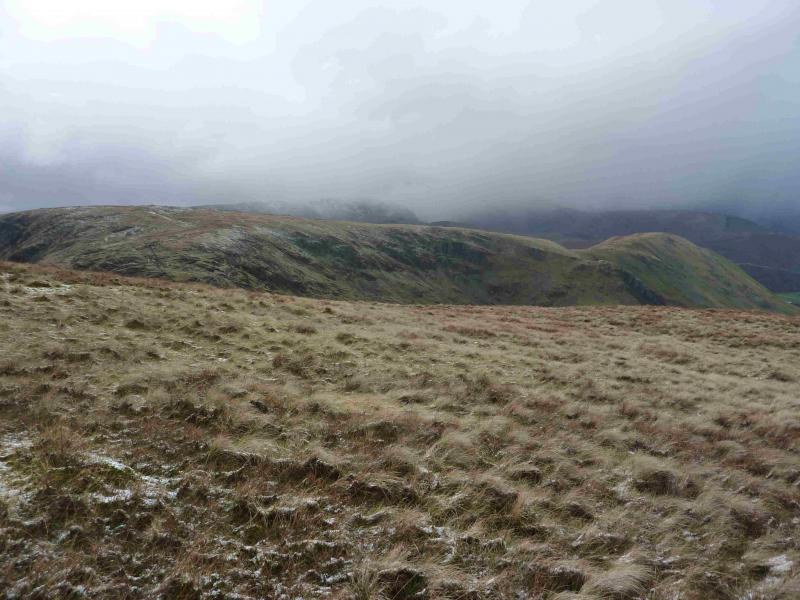
This is a fairly strenuous walk but it can be completed during a mid-winter's day. Parts of the route, especially the ascent of Middle Dodd, the descent of Red Screes and the descent of Hartsop Dodd are quite steep and would only be for the experienced under winter conditions. This is one of the few routes which covers two of the Lake District regions as defined by Wainwright. It starts in the Eastern Fells and finishes in the Far Eastern Fells. As it starts in the Eastern fells it will be located in that section. The views are superb on a clear day. Most of the Fairfield range is well seen and beyond to Helvellyn, most of the High Street range is well seen plus Windermere to the south. Glimpses of Blencathra and Cross Fell will be seen on a clear day.
Route
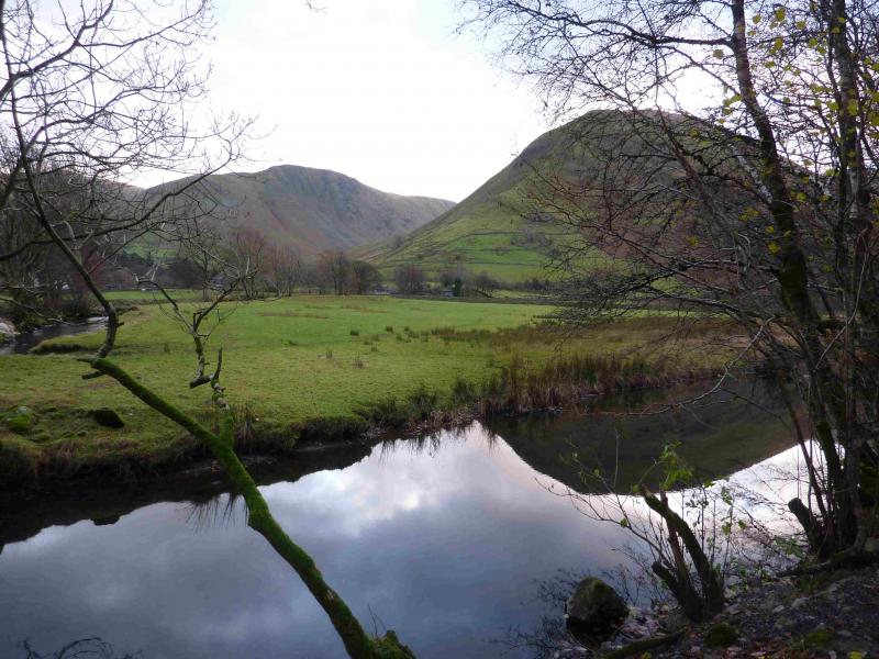
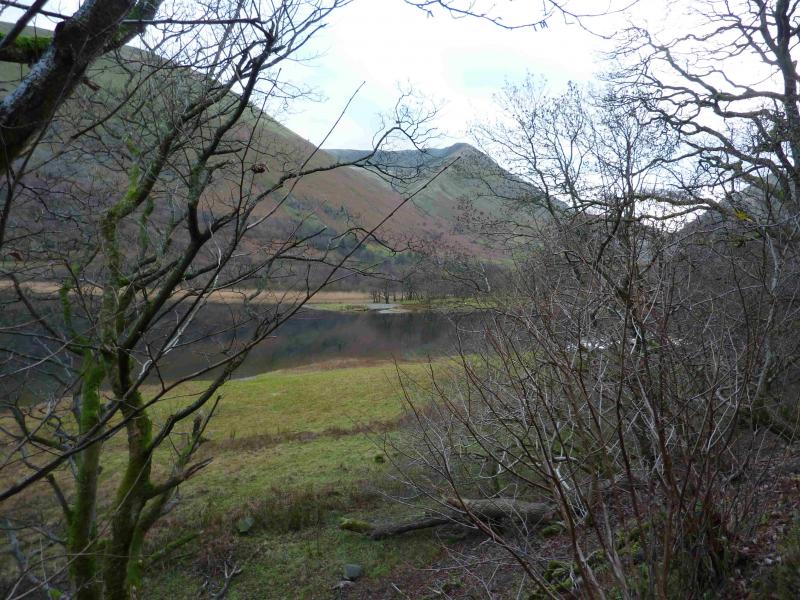
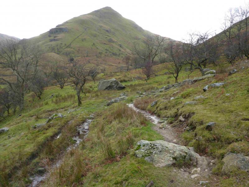
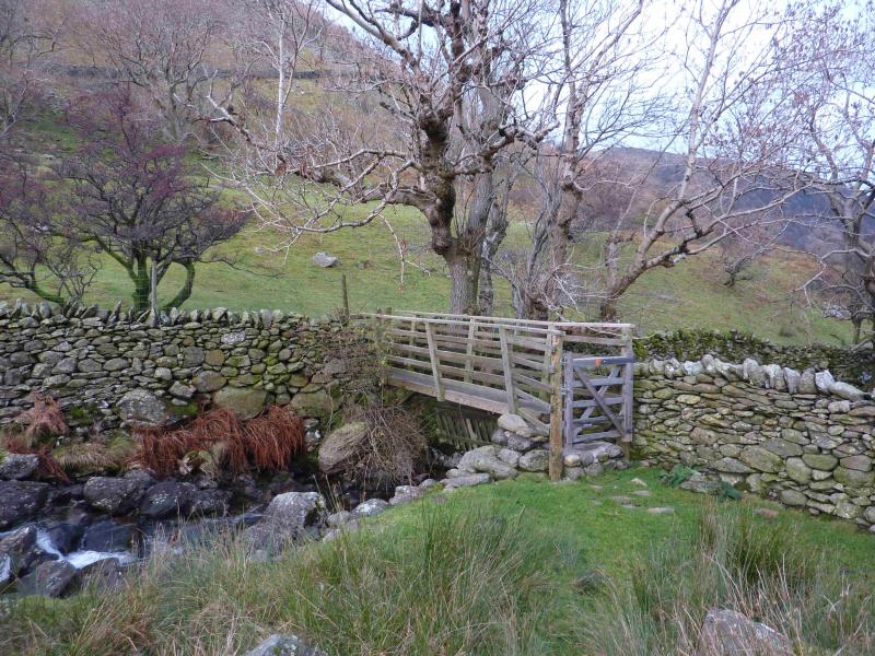
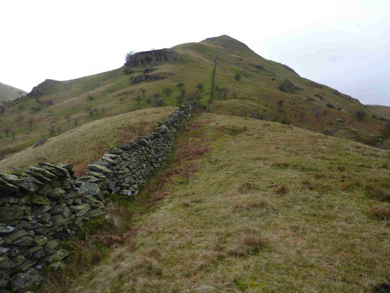
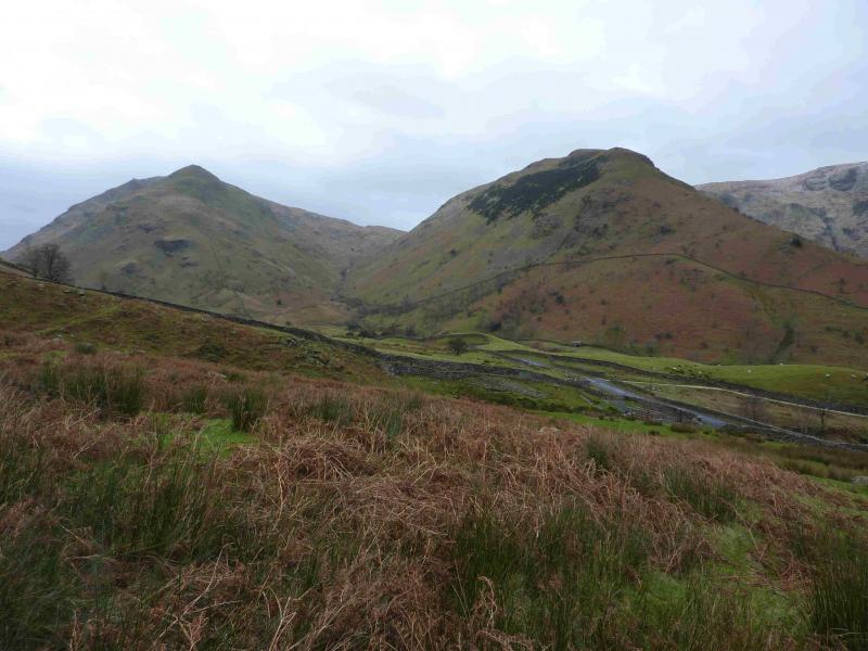
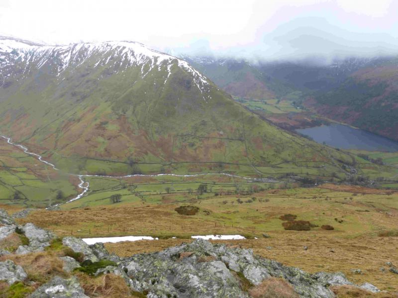
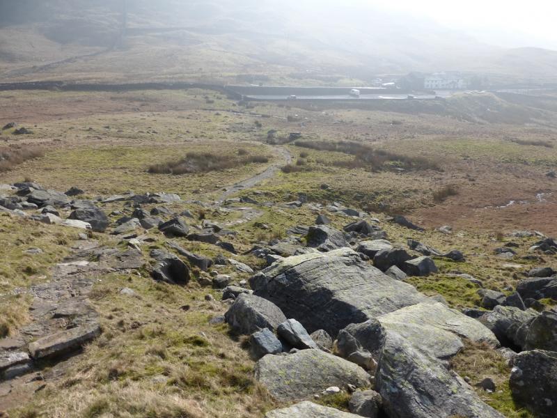
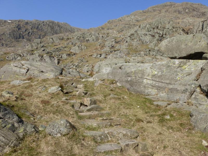
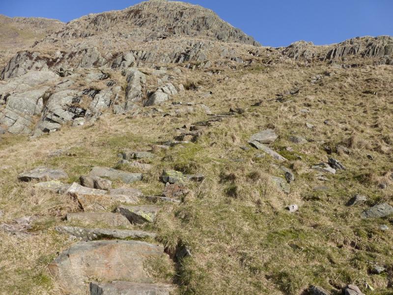
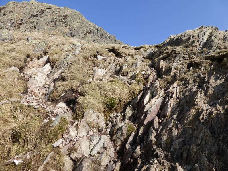
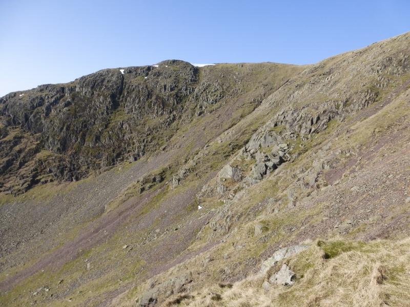
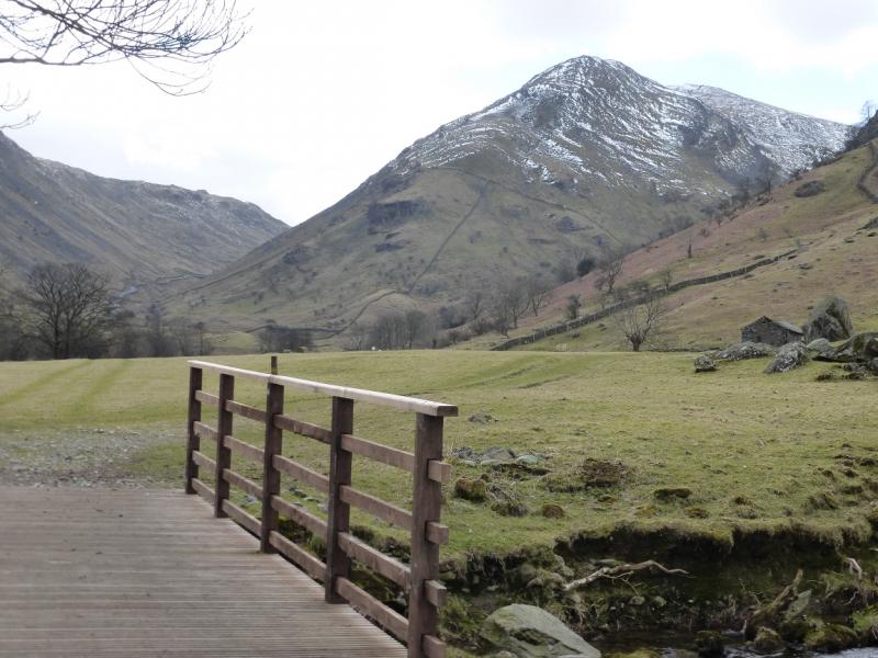
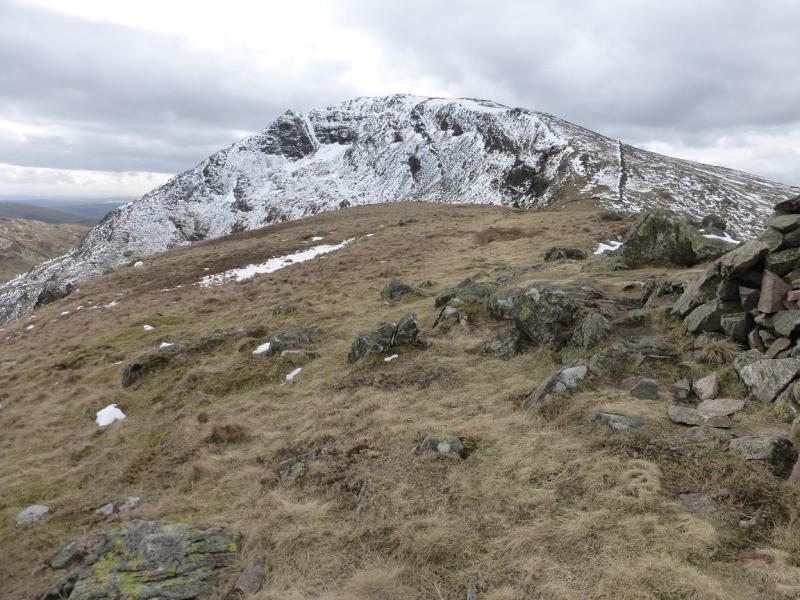
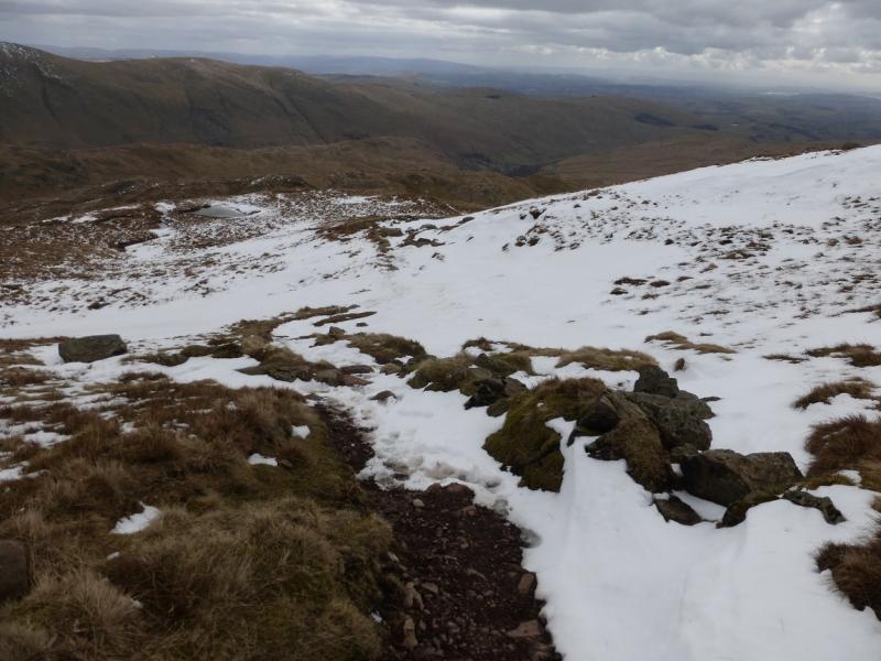
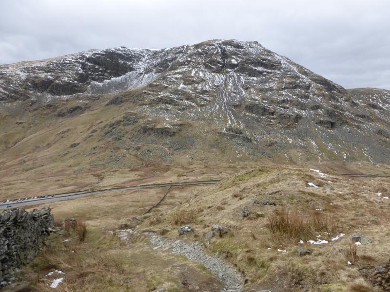
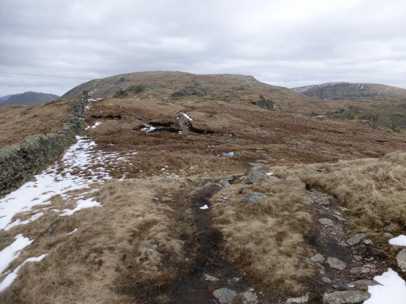
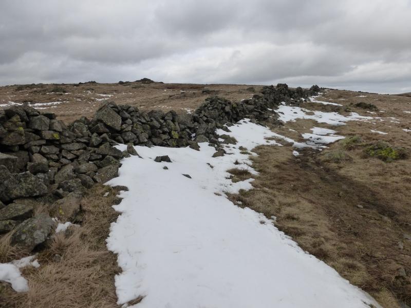
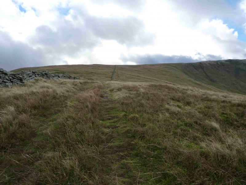
(1) From the car park, walk along the track behind Brothers Water. Continue beyond the end of the lake and go past Hartsop Hall. At the foot of Scandale Pass, cross a narrow footbridge (not seen until close) over Caiston Beck then aim for the foot of the N ridge of Middle Dodd which has a wall running up it. Walk by the wall, broken in places, where there is no path initially. A path appears after a cross wall and this can be followed up the steep ridge. The two obvious crags are easily by passed to their right and the path, now more distinct continues up the ridge often on the left of the crest. Eventually the angle eases and a medium cairn is reached which marks the summit of Middle Dodd, 654 m, which is really only a shoulder of Red Screes.
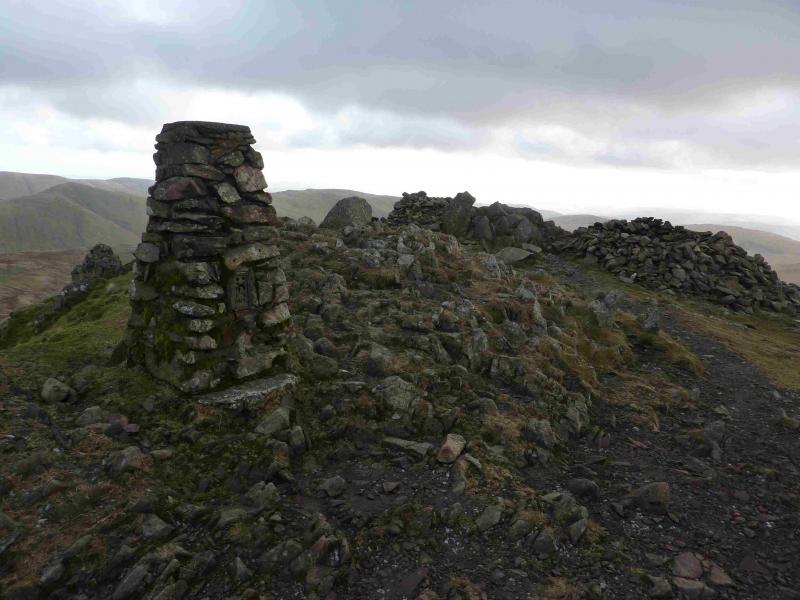
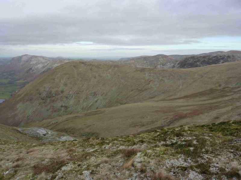
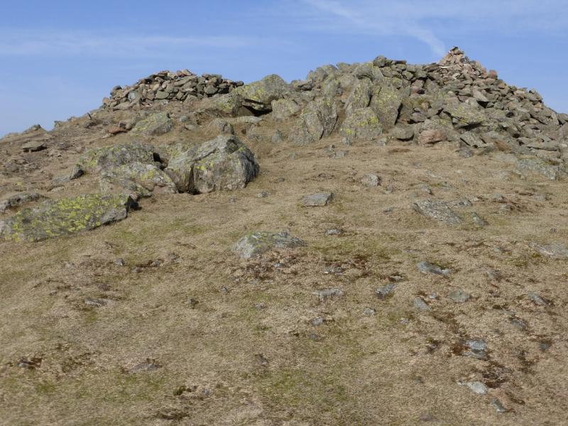
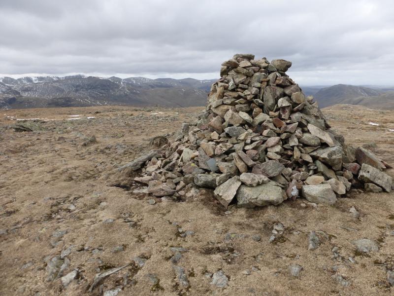
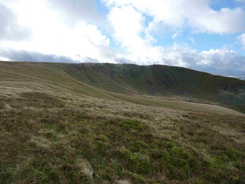
(2) Continue along the crest, with hardly any descent, then ascend easily to the traditional stone trig point and adjacent cairn which mark the summit of Red Screes, 776 m. A small tarn lies to the W.
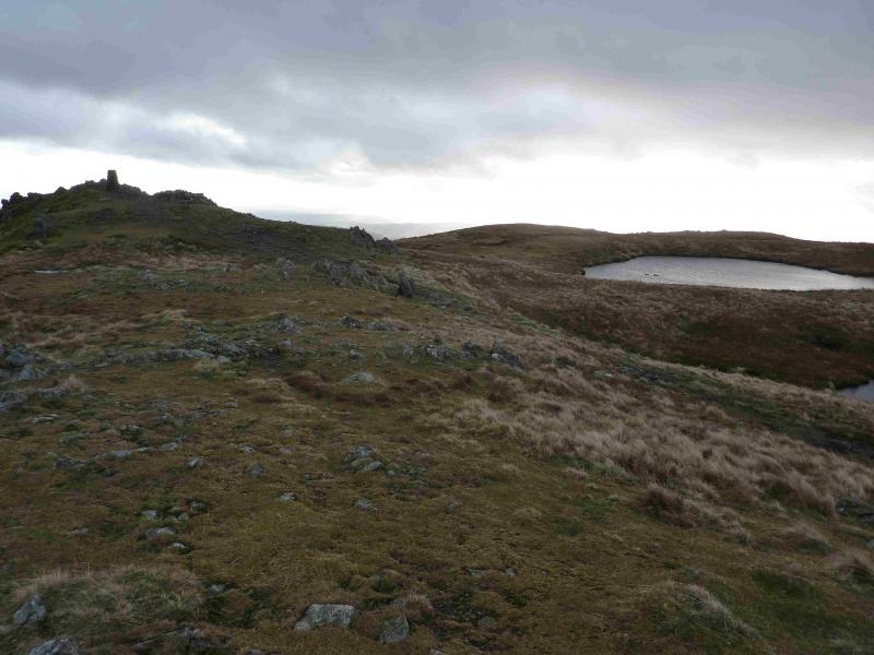
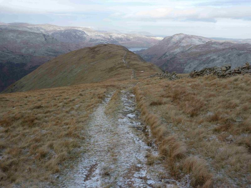
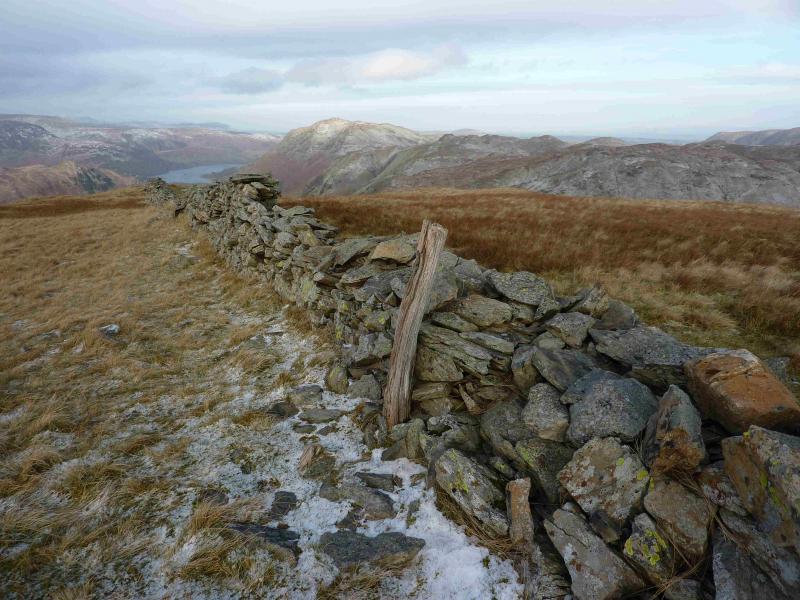
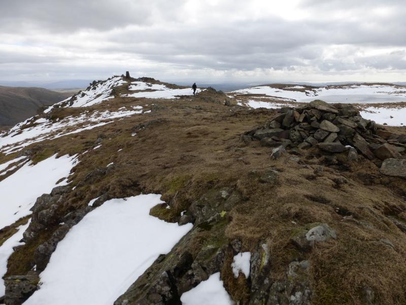
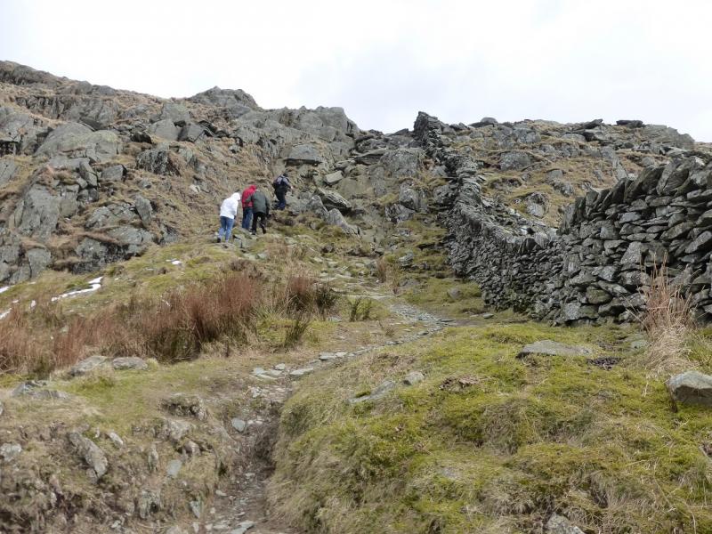
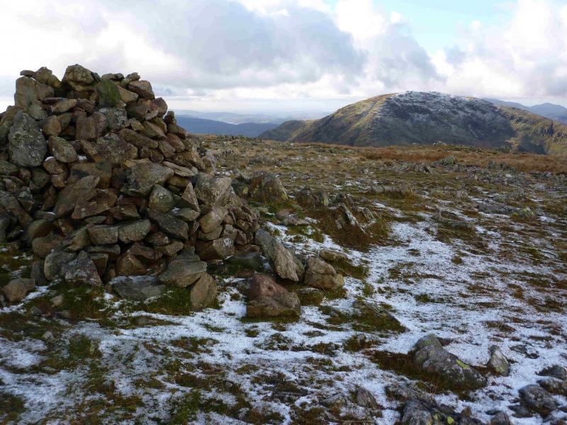
(3) From the summit descend SE on a reasonably obvious path. This winds its way down the steep side of Red Screes. There are some short rocky sections but not serious enough to call it a scramble. Lower down, the path is stepped. Eventually, reach the Kirkstone Pass Inn where some may wish to stop for “refreshments”. At the N end of the inn, is a signpost pointing the way up to Caudale Moor via St. Raven's Edge. Follow the obvious path which picks its way, easily, through some rocky sections. Once the crest is reached, a wall can be followed. When the wall goes E, cross it and walk about 150 m N to reach a large cairn which marks the summit of Caudale Head, c 750 m. This is also known as John Bell's Banner and also lies about 150 m SW of a moorland tarn.
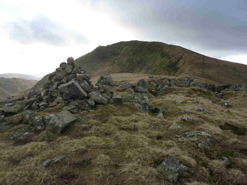
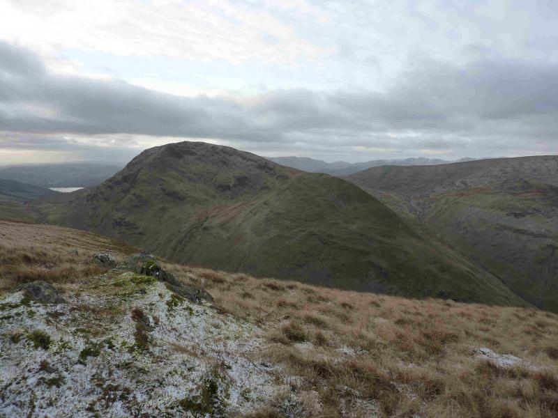
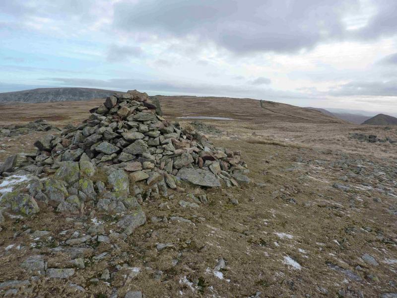
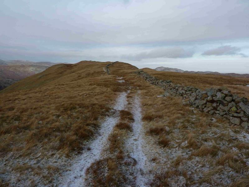
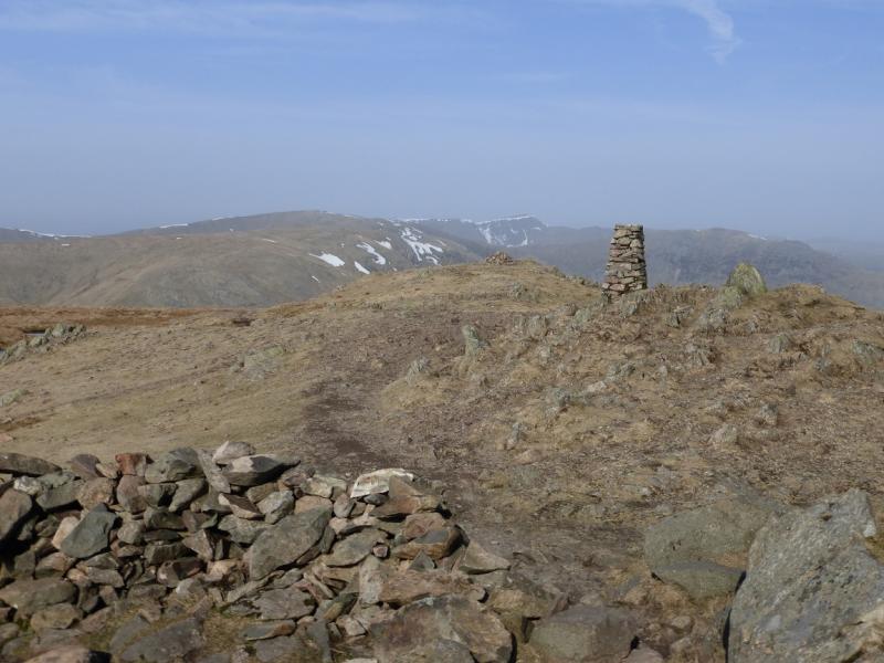
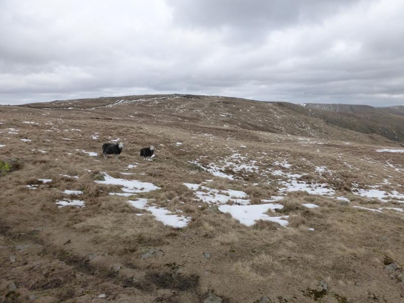
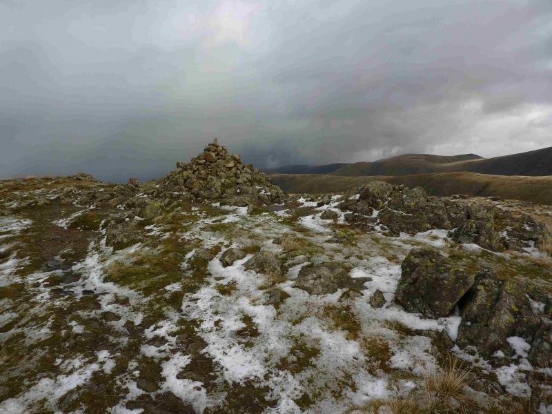
(4) Retrace back to the wall then follow it, on a good but sometimes boggy path, E, up on to the summit area where it meets another wall. Turn left, N, and soon reach, on the right of the wall, a medium cairn which marks the summit of Stony Cove Pike, 763 m.
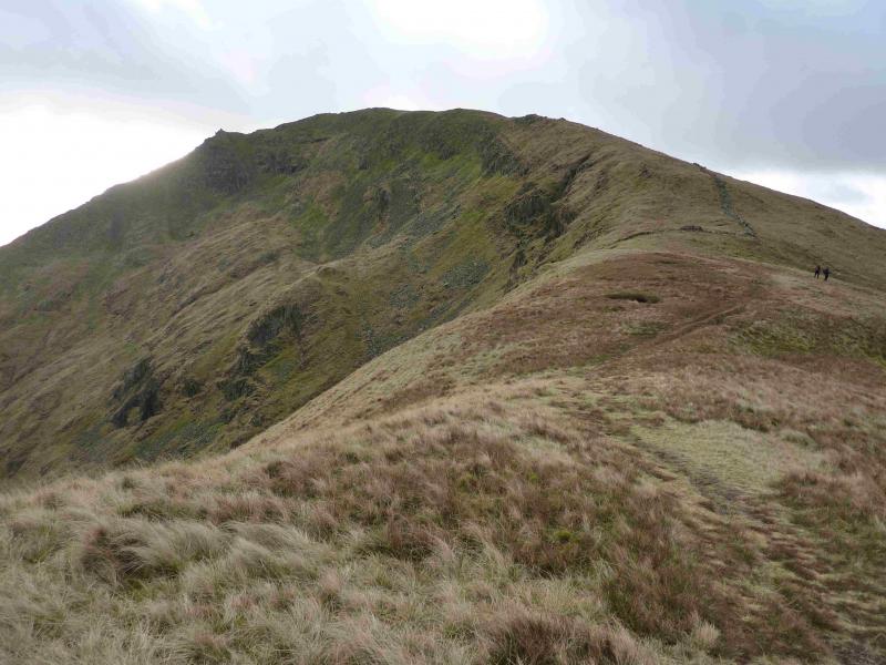
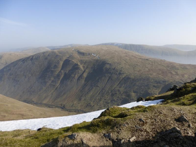
(5) Follow the wall N. There is a reasonable path on its left. This leads gently down to a long grassy col then gently ascends to reach a medium cairn which seems to mark the summit of Hartsop Dodd, 618 m. although an isolated old fence post on the wall appears to be the highest point.
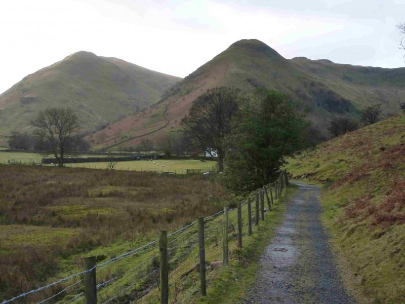
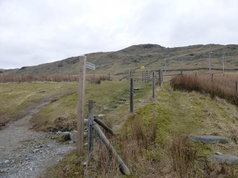
(6) Descend slightly W of N, on an obvious path, which goes down the nose of Hartsop Dodd. This is quite steep in places and is only for the experienced under winter conditions. The ridge leads to a cross wall which can be followed down, N, to the bridge over Hayeswater Gill. Cross over. Turn left on the track and go through a gate to the Hartsop car park. Continue down the road, through Hartsop village to the main road. Turn right and soon reach Cow Bridge.
Notes
(a) This walk took place on 28th March, 2015.
Photos - Hover over photo for caption. Click on to enlarge. Click on again to reduce.


![]()
![]()