Get Lost Mountaineering
You are here: England » Lake District » 2 Far Eastern Fells
Sour Howes & Sallow from Troutbeck
Sour Howes & Sallow from Troutbeck
Start/Finish
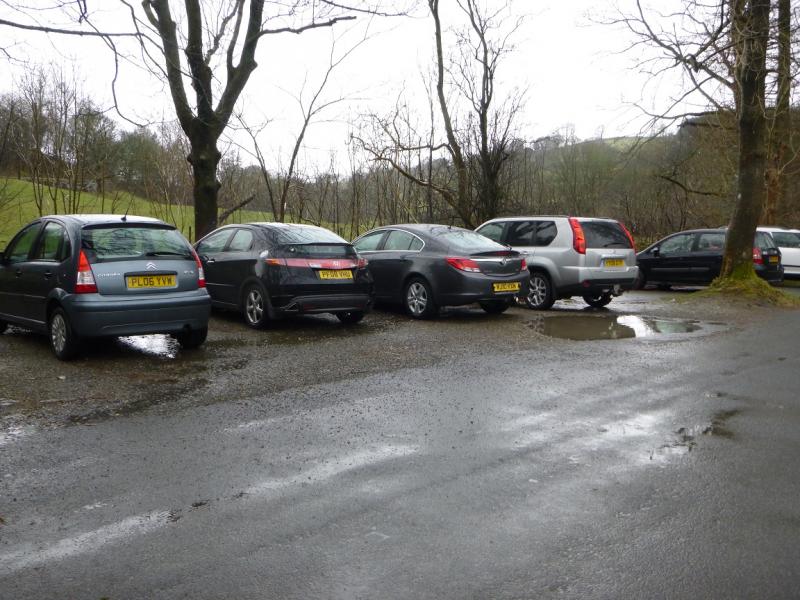
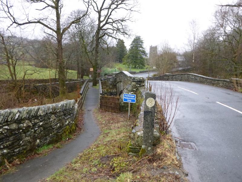
Parking spots (about 5) just up the minor road to Troutbeck village which is just south of Troutbeck Church on the A592 Windermere to Ullswater Road. The minor road is signed for Troutbeck. If these parking spots have gone, there is one more about 150 m further up the minor road. Failing that, one will have to park slightly further afield, either in Troutbeck village or on the A592.
Distance/Time
8 km About 3 hours
Peaks
Sour Howes, 483 m, NY 428 032.
Sallows, 516 m, NY 437 039. OS 1 : 50 000 , sheet 90.
OS 1 : 25 000 Outdoor Leisure 7, English Lake District SE Area.
Introduction
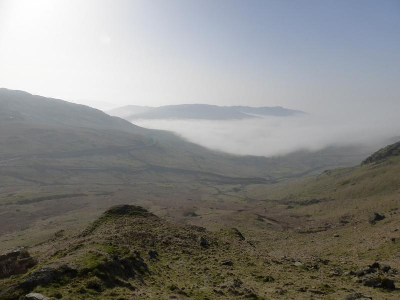
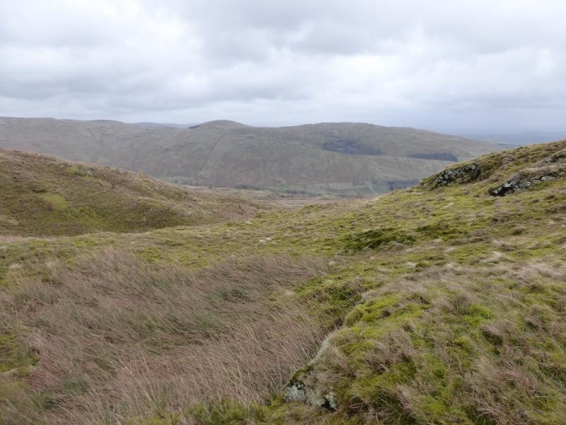
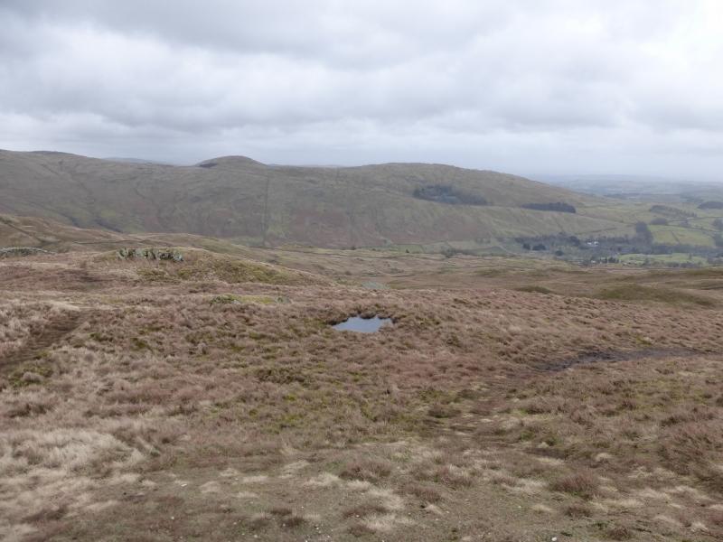
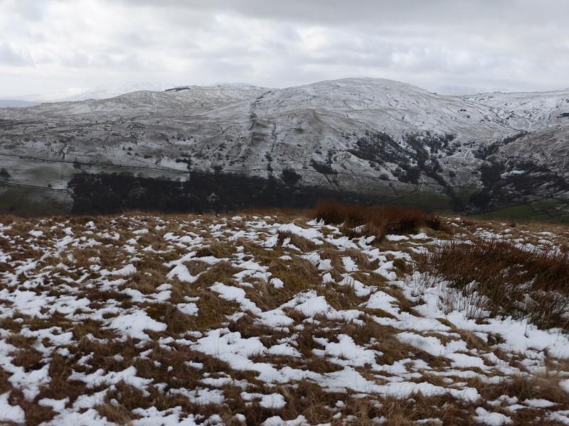
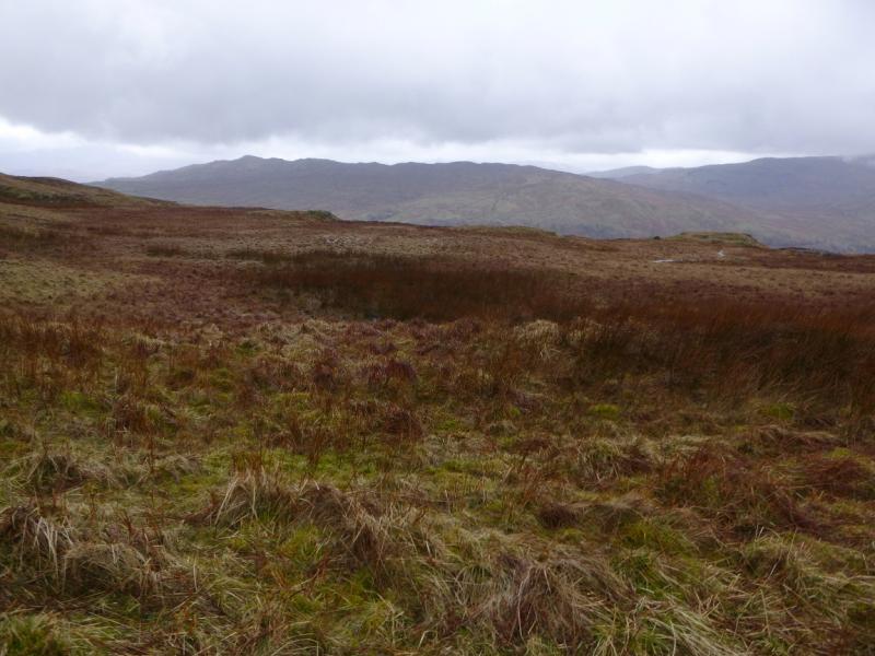
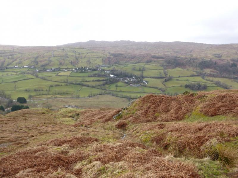
This is a straightforward walk which uses good tracks and reasonably obvious paths all the way. Neither summit is cairned but, even in mist, navigation should not be too difficult. The views are very good with Wansfell, the Kentmere Fells, and parts of the Fairfield range visible. This is a shorter, cleaner and much easier approach to these two hills than the route from Browfoot in Kentmere. These hills should not pose any problems in winter conditions except that snow may hide parts of the path.
Route
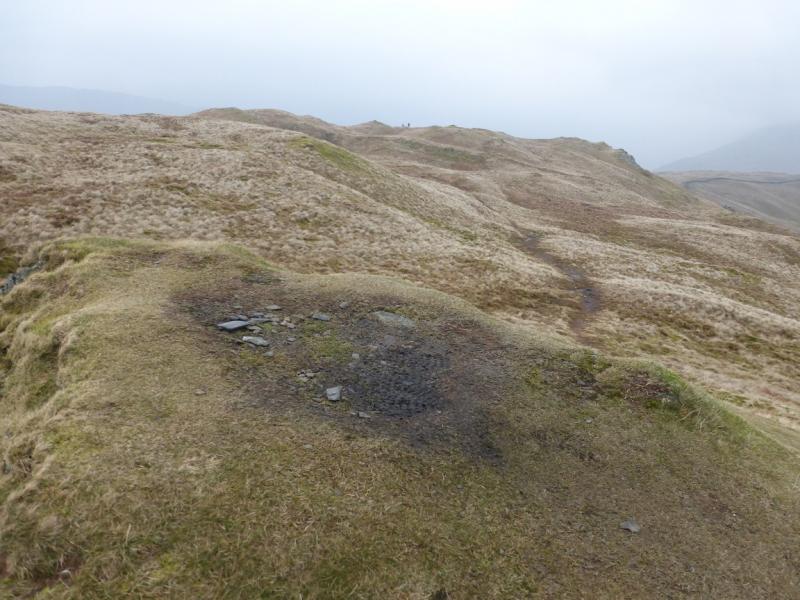
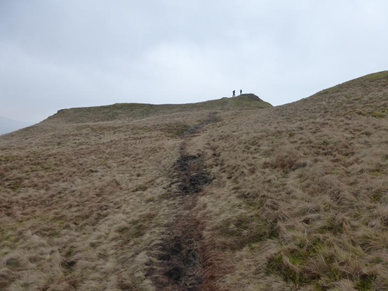
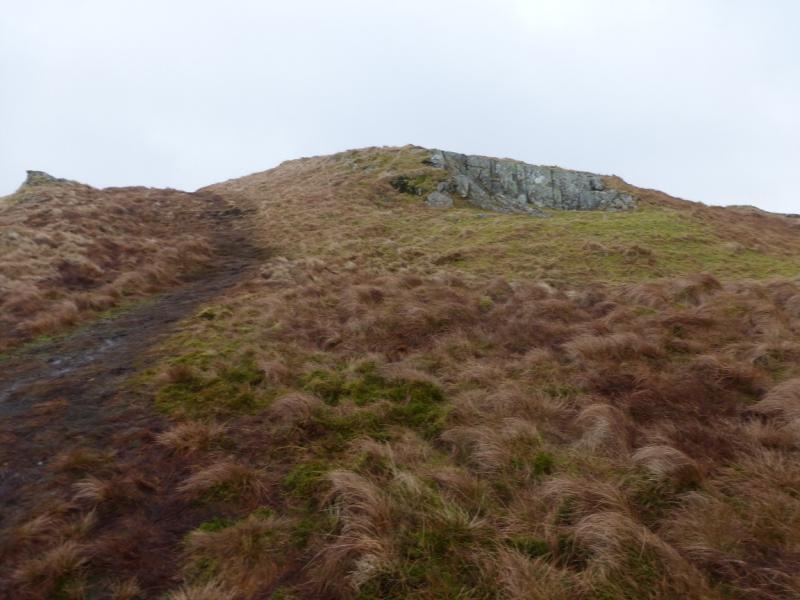
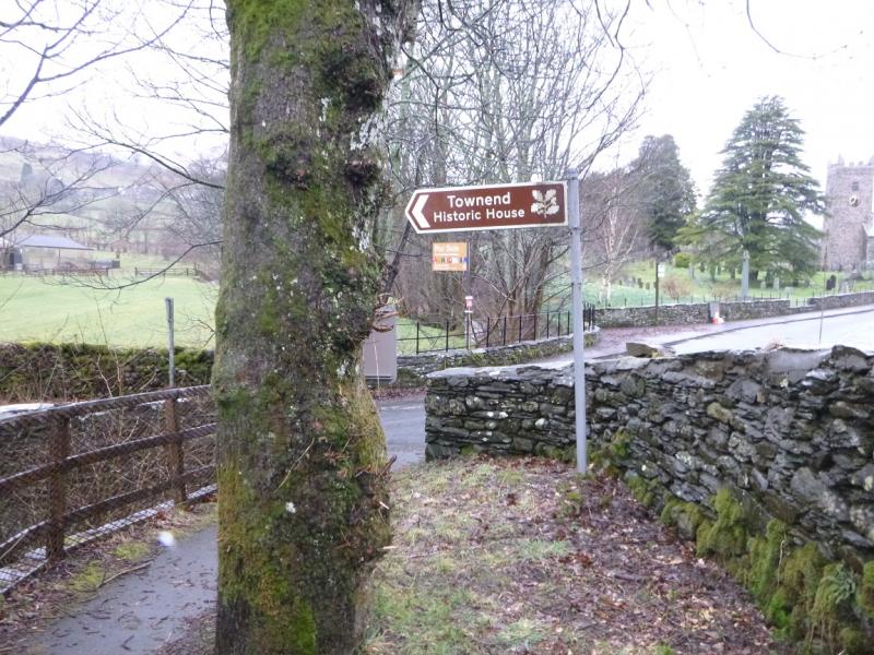
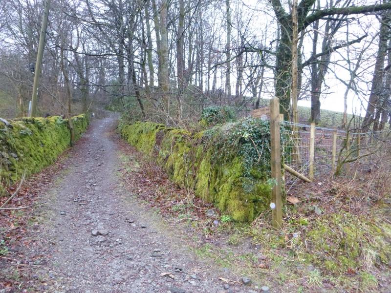
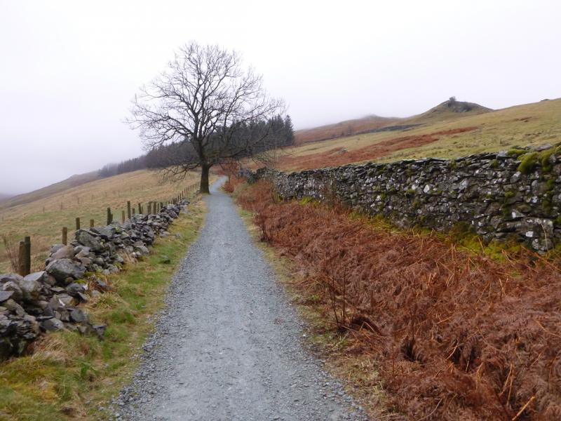
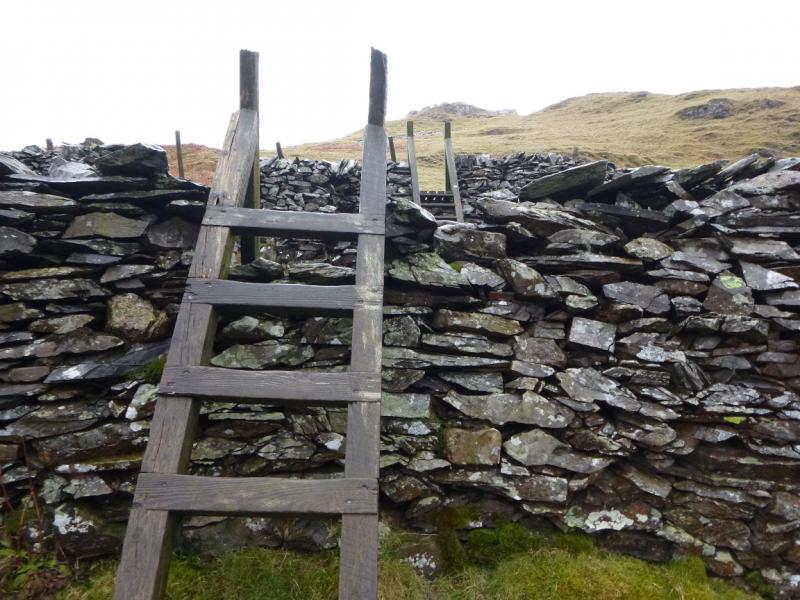
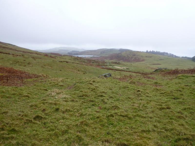
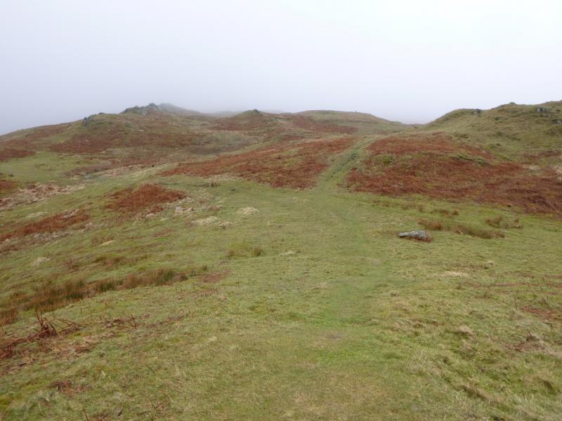
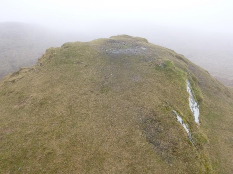
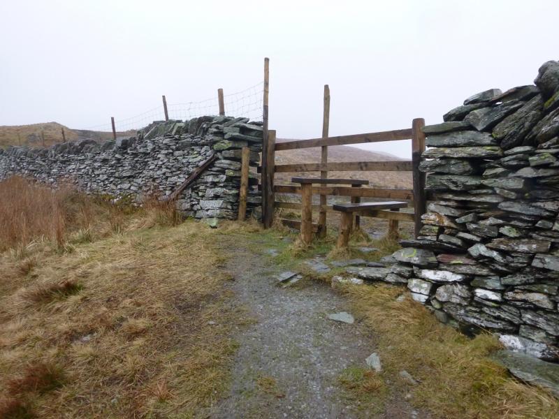
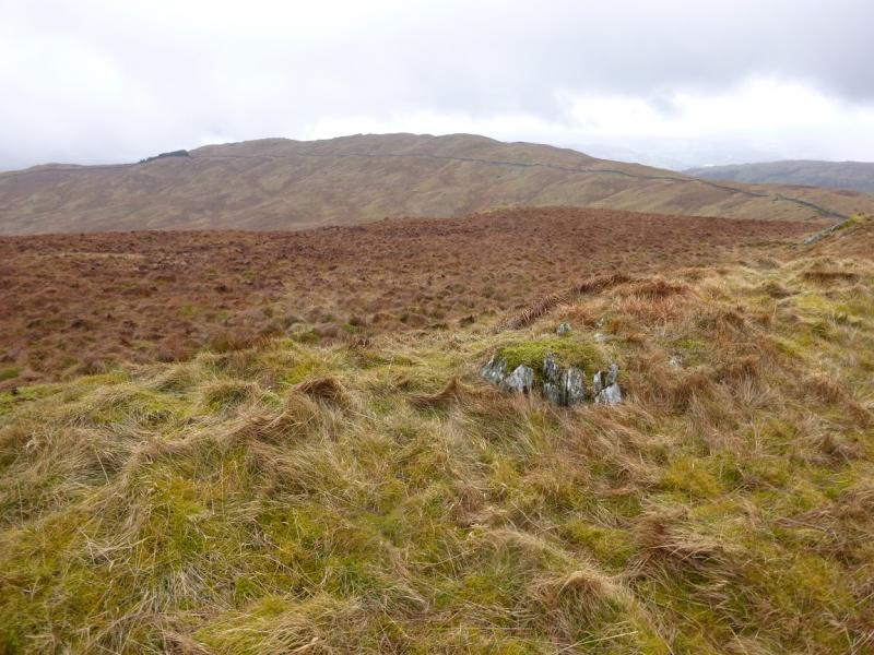
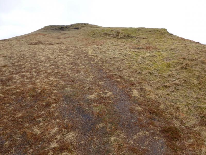
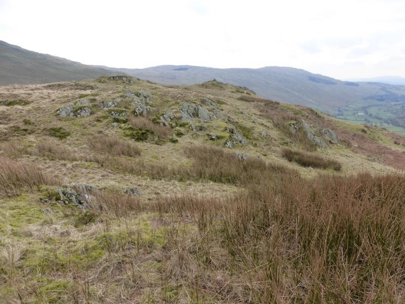
(1) From the junction of the minor road, S of the church, with the A592, walk towards Windermere. After about 50 m, take the public bridleway on the left. Follow this up, past the houses and head roughly N once past them. Go past a reverse right fork track and continue towards an obvious conifer wood. Just before the wood, there is a stile. Cross over and walk up the path to the next stile which is actually one of two either side of another track. Cross both stiles. The second one has no descent as the ground is higher on its far side. Continue on the path which winds its way between the various tops until it passes just to the left of a mound about 10 m high. Go up this to the small flat top where there is no cairn but may be a handful of small stones. This is the summit of Sour Howes, 483 m.
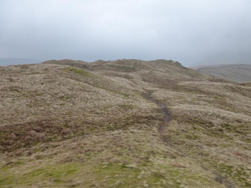
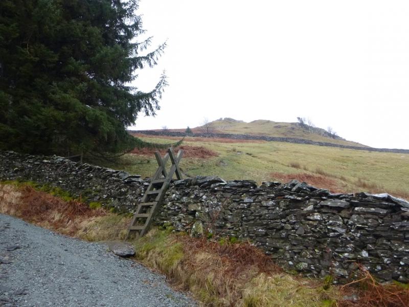
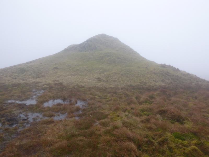
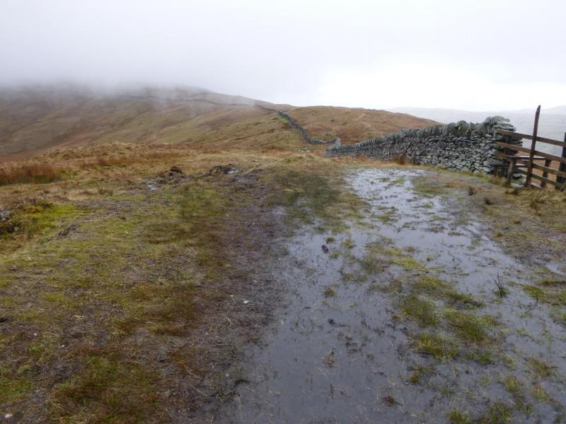
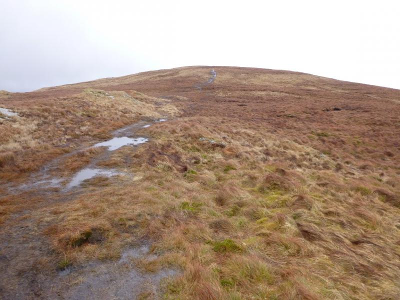
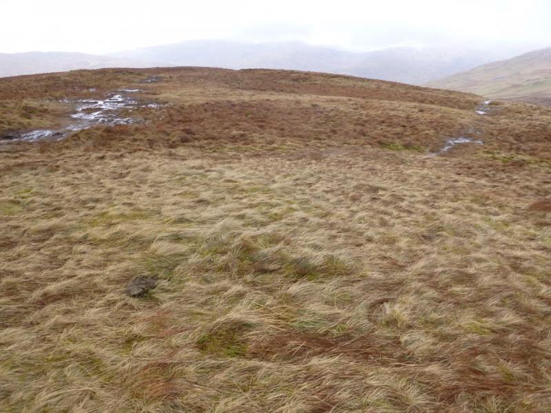
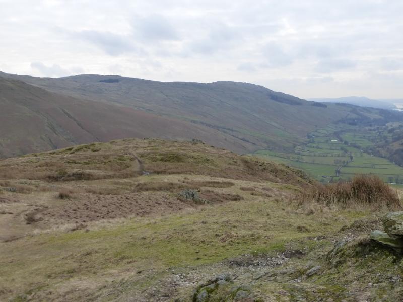
(2) Return to the path which now heads roughly N, with little descent. In places it becomes more like a track and slowly converges with a wall on the right. The path is now beginning to curve around to the E. Follow the path to a fence and stile over the wall which is crossed before ascending almost due E up gentle slopes to a top with no cairn which is the summit of Sallows, 516 m. The top is like a low mound about 20 m long. Just before the top, another path comes in on a reverse left fork which will be the descent route to Garburn Pass.
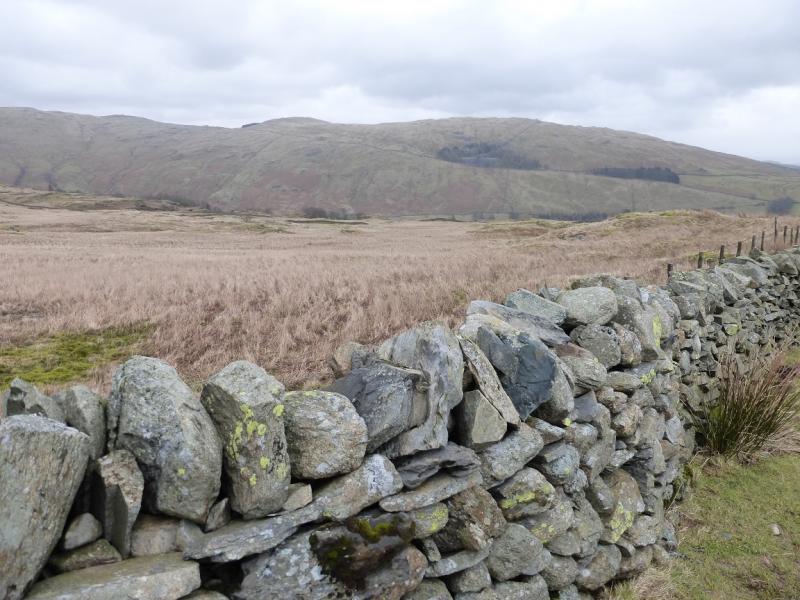
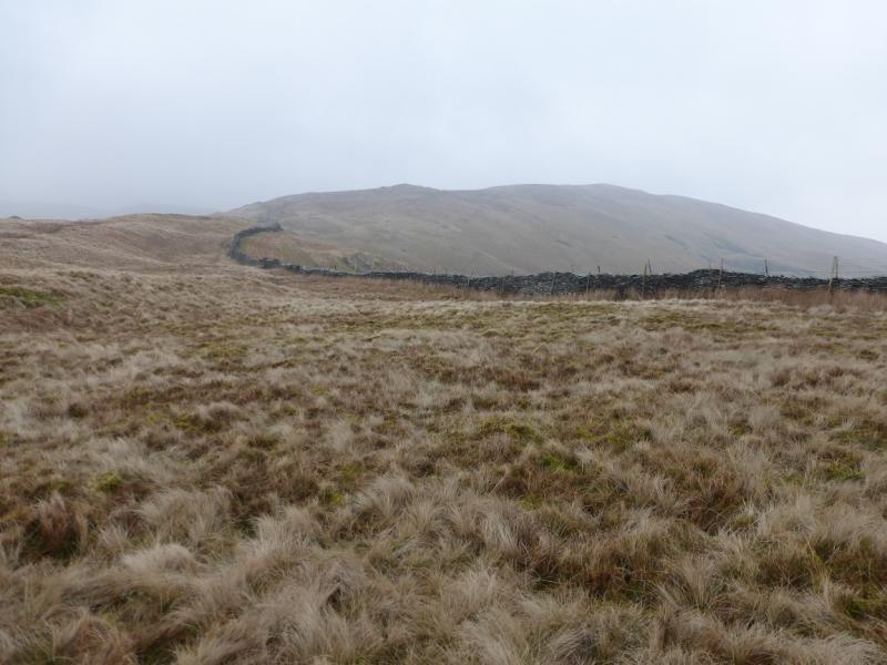
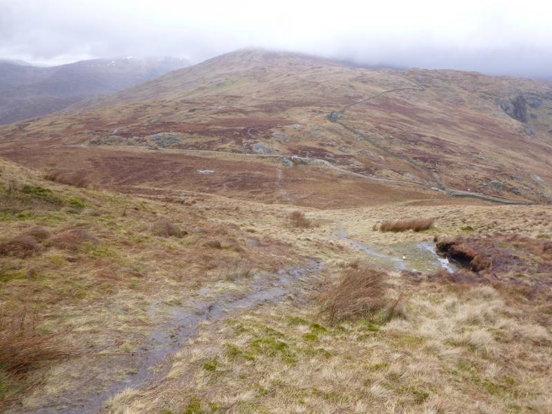
(3) Take the path to Garburn Pass and follow it down. A barbed wire fence blocks progress just before the track over the pass which runs from Kentmere to Troutbeck. Either cross the fence here and gain the track then walk W or follow the path left, W, inside the fence, for about 200 m, to a corner where a short section of fence has no barbed wire and gain the track there. Follow the track SW, curving around to S. Take the right fork at each of the two track junctions and soon reach the stile after the conifer wood which was used on the outward route. From here, retrace down the track back to the start.
Notes
(a) This walk took place on 28th March 2015.
Photos - Hover over photo for caption. Click on to enlarge. Click on again to reduce.