Get Lost Mountaineering
You are here: England » Lake District » 2 Far Eastern Fells
Wansfell & Wansfell Pike via Hundred's Road from Troutbeck
Wansfell & Wansfell Pike via Hundred's Road from Troutbeck
Start/Finish
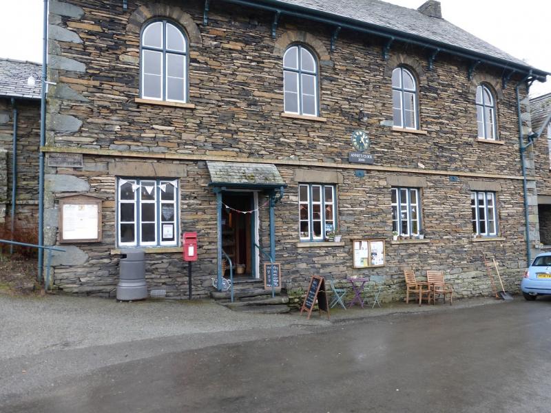
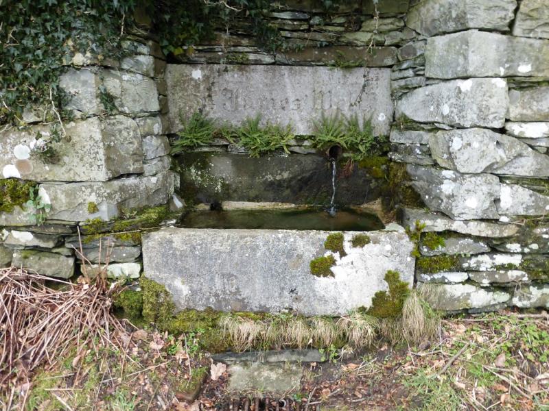
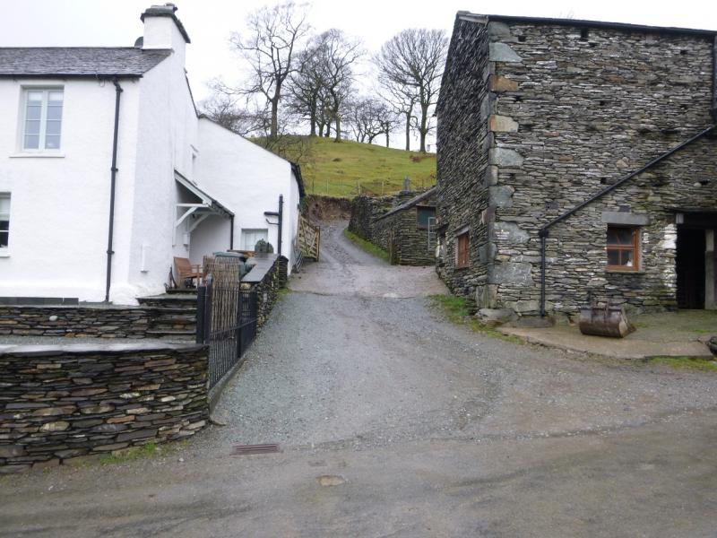
Park in Troutbeck village which is off the A592 Windermere to Ullswater road about 2 miles from the roundabout outside Windermere. Parking is quite limited in the village so be sensible and considerate about where you park. Try to park as close to the south end of the village (the Annie's Clock/cafe end) as possible.
Distance/Time
8 km About 3 hours
Peaks
Wansfell (Baystones), 487 m, NY 403 051.
Wansfell Pike, 484 m, NY 394 041. OS 1 : 50 000 , sheet 90.
OS 1 : 25 000 Outdoor Leisure 7, English Lake District SE Area.
Introduction
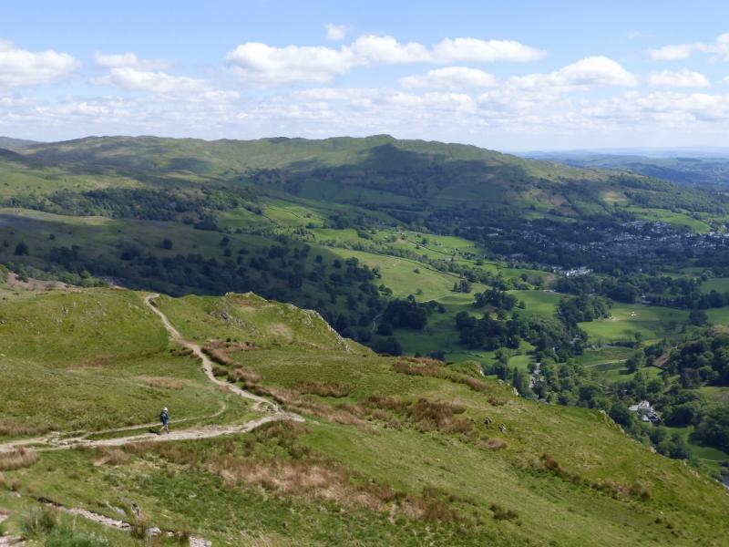
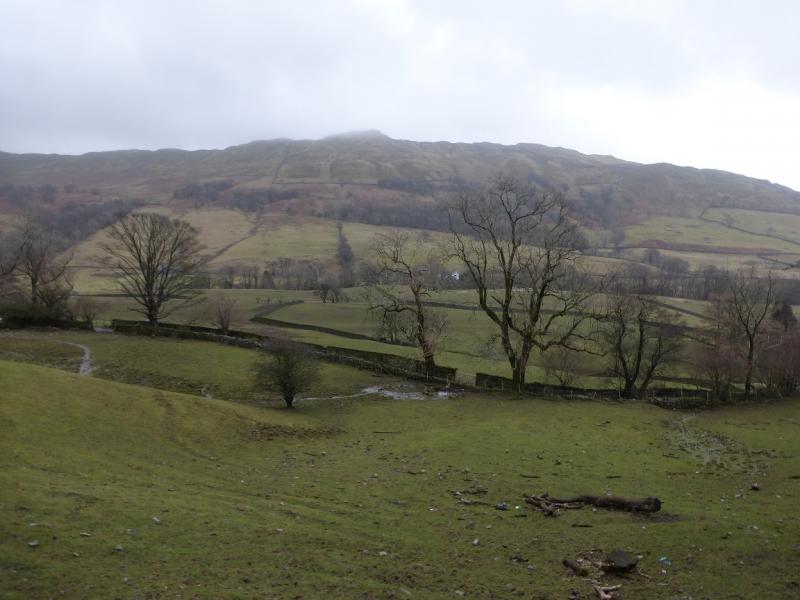
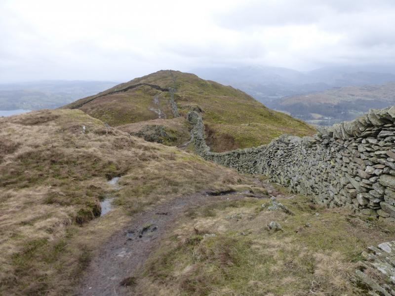
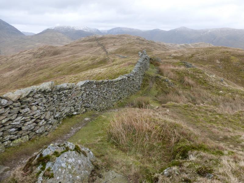
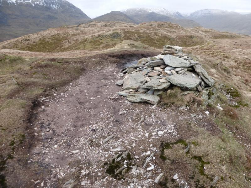
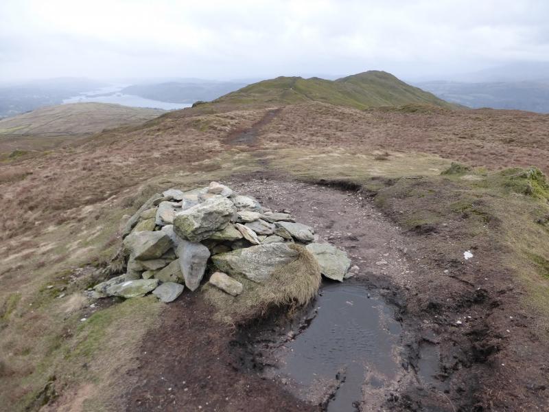
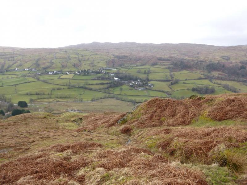
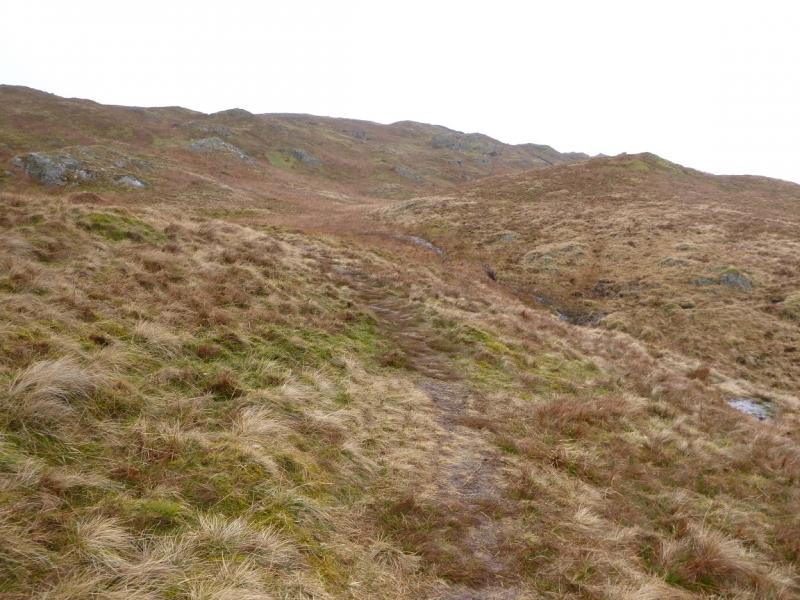
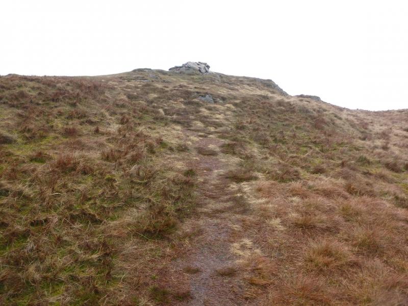
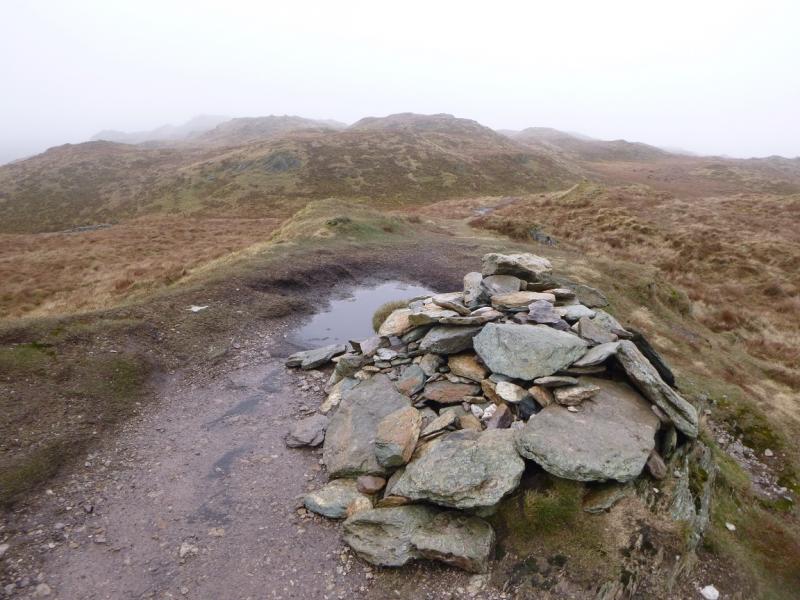
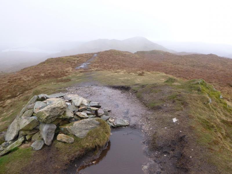
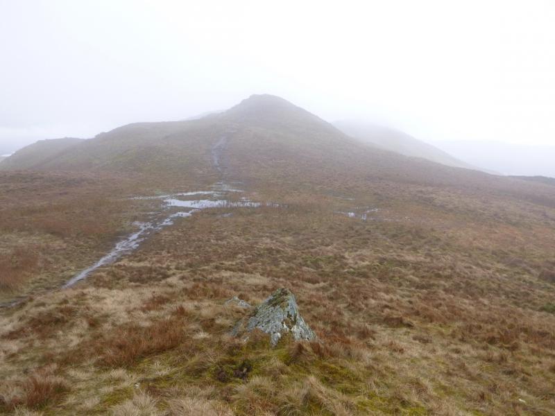
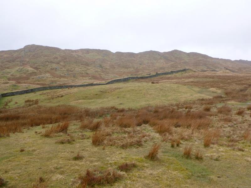
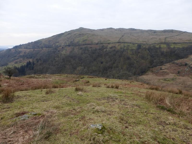
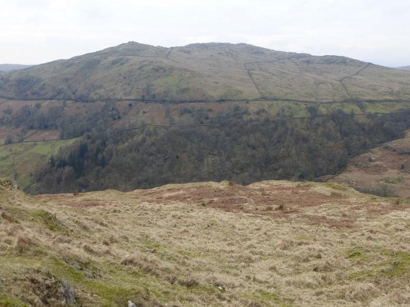
This is a pleasant circuit of Wansfell and Wansfell Pike with excellent views on a clear day which include parts of the Fairfield and Kentmere Horseshoes, Red Screes, Caudale Moor, the Langdale Pikes and Windermere. The middle part of Nanny's Lane is boggy. The section from Wansfell summit to Wansfell Pike has some very wet and boggy sections but they are avoidable by mini detours. There is also a very boggy section on this walk from a gate on the descent to the lane known as Hundred's Road which is also boggy in places. There seems to be some confusion as to the exact location of Wansfell summit. On OL7 (SE Lakes, the spot height of 487 m is shown at NY403 052. This spot height may be correct but it is not the summit which is about 150 m SSW, across a wall, at NY 403 051 and is in clear weather, so obviously, the highest point in the vicinity and also is the only top with a cairn. Unfortunately, some guide books have the summit in the wrong place so beware! Good old Wainwright, however, is spot on so go and buy his guides! Note that there is no cairn or trig point (shown on some maps) on the summit of Wansfell Pike. It would seem to be an ideal place for a viewfinder cairn. From Wansfell Pike the summit looks lower and from the summit, Wansfell Pike looks higher so, perhaps, some resurveying is needed on this hill. The cafe at Annie's Clock is very pleasant and serves homemade food.
Route
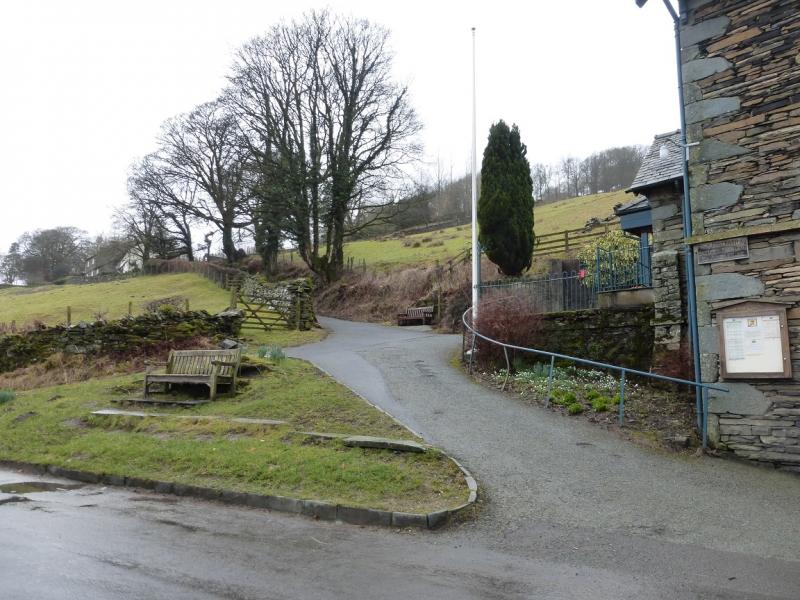
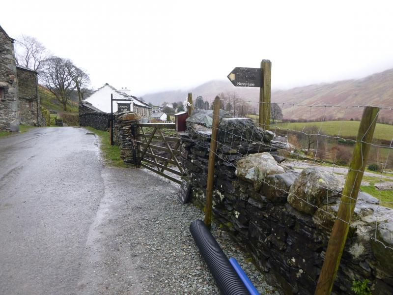
(1) From the Annie's Clock end of Troutbeck village, walk N, up the road, to Lanefoot where there is a sign pointing left for Nanny Lane. Follow the track up. It is moderately steep for some distance before the gradient eases. Reach a stile which is the route for a direct ascent of Wansfell Pike from Troutbeck but this route continues ahead on Nanny Lane which is now quite boggy for some distance before becoming a good path. Soon after, reach another stile which is the start of the path up to Wansfell summit. Follow this path, wet in places. It initially shadows the wall then heads N, effectively cutting a corner of the wall. As the wall becomes close again, a small cairn is reached which is the summit of Wansfell, 487 m.
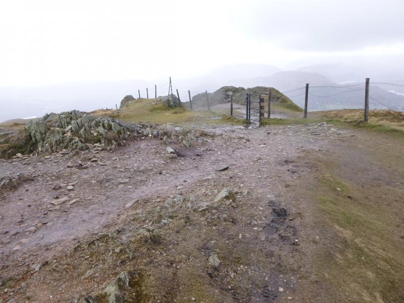
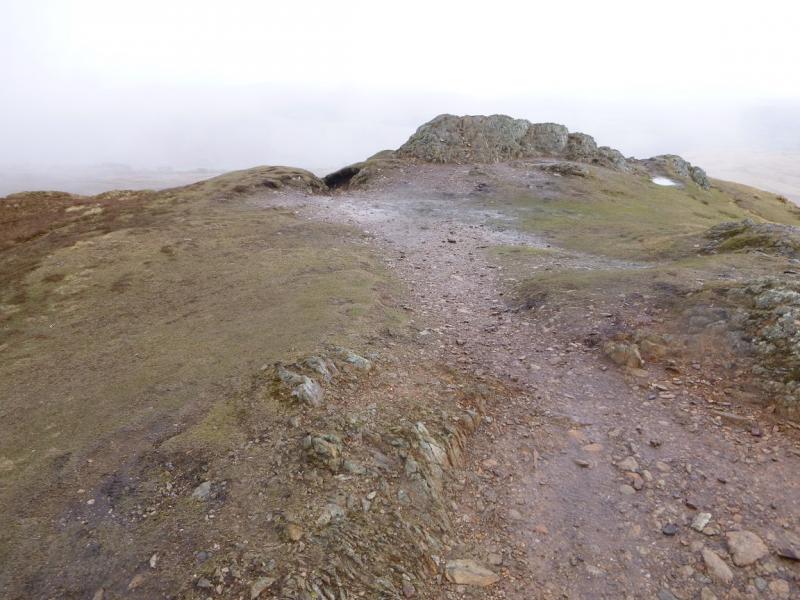
(2) From the cairn, follow the path, roughly S. A few boggy hollows and a wall are crossed before the path reaches the top of Wansfell Pike where there is a small gate and a crag which seems to be the highest point close by. This is the summit of Wansfell Pike, 484 m.
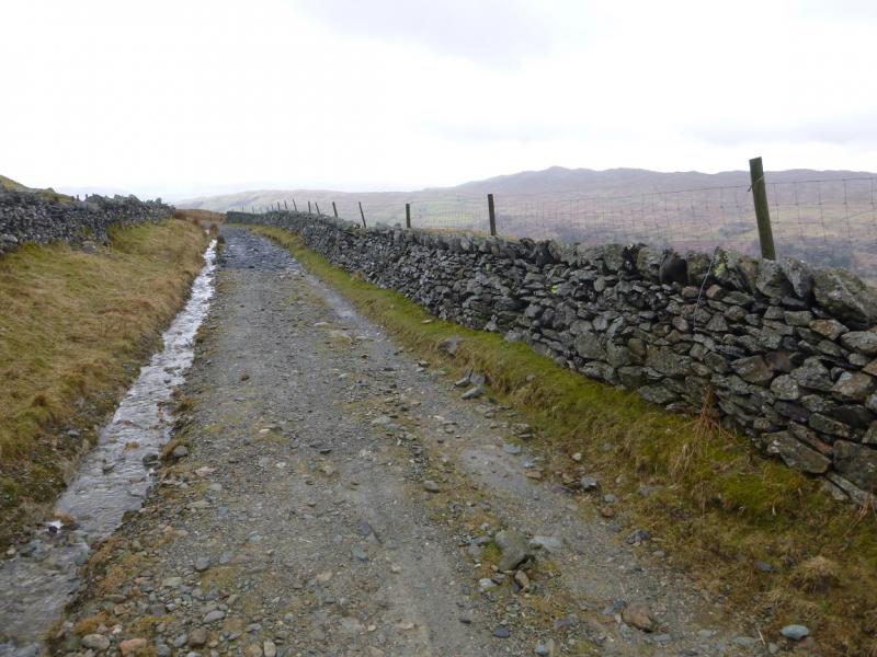
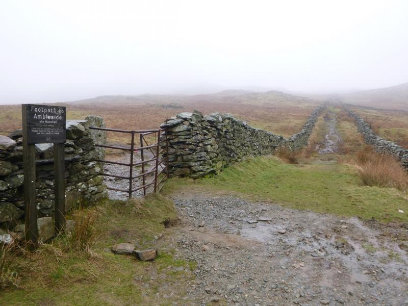
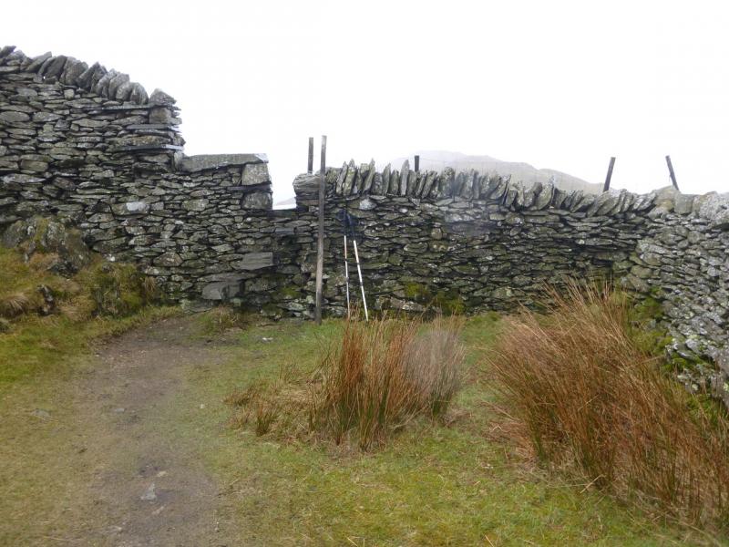
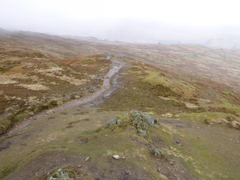
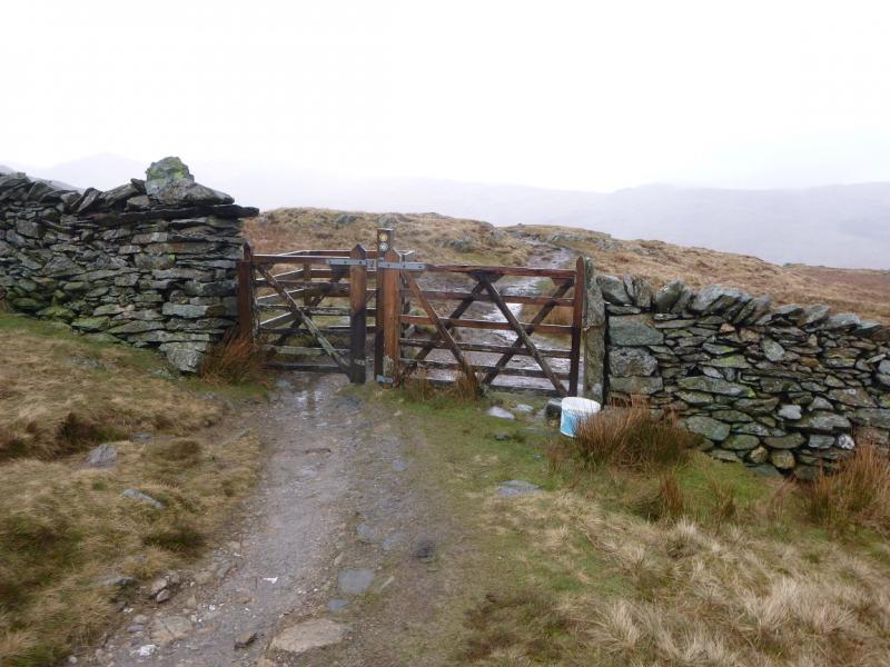
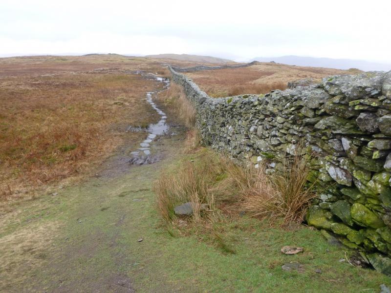
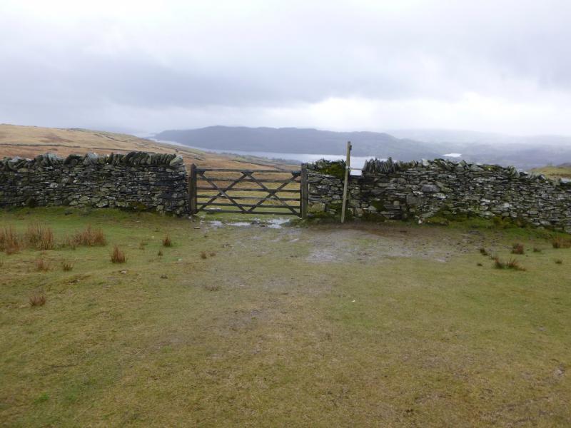
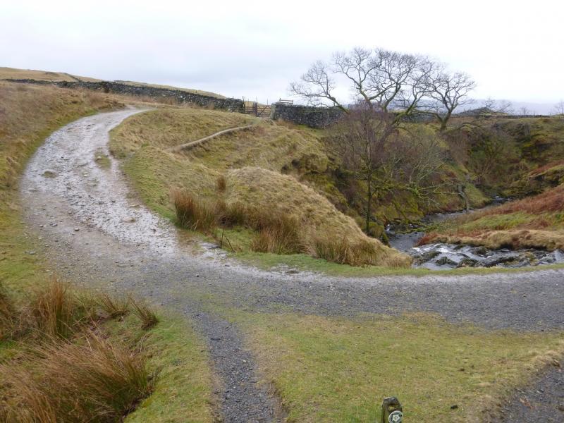
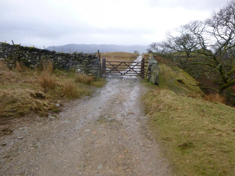
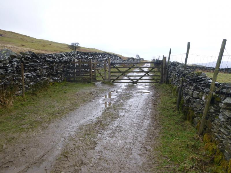
(3) From the highest point of Wansfell Pike, an obvious path goes roughly E descending gently for the most part. The only boggy section has “decking” across it. Beyond here, a gate is reached where the path splits. The main path goes ahead here and leads to Troutbeck village. This route, however, goes right after passing through the gate. The boggy path initially follows the wall but gradually diverges left. There are some “stepping stones” in some of the boggy sections but it is still quite unpleasant in wet conditions. Eventually, the path reaches a well defined lane which is Hundred's Road. This is not much better, though, and in wet conditions holds some very large puddles. In mist, the lane seems to go on forever! Eventually, it becomes Robin's Lane where a signed reverse right fork points the way to Ambleside but this route stays on the main track which can be followed down and back into Troutbeck village.
Notes
(a) This walk took place on 29th March 2015.
Photos - Hover over photo for caption. Click on to enlarge. Click on again to reduce.