Get Lost Mountaineering
You are here: Scotland » 03 North-west Argyll, Appin and Glencoe » Ballachulish & Connel to Loch Etive
Beinn Bhreac & Beinn Molurgainn
Beinn Bhreac and Beinn Molurgain from Gleann Salach road
Start/Finish
The high point, at a height of about 150 m, of the road N through Gleann Salach about 1 km N of where it leaves the North Connel to Bonawe road on the N side of Loch Etive. Look for the telegraph poles coming towards the road about where a rough track goes off to the right through a rusty old gate. There is some limited parking on the left in a “parking bay” which seems to have been dug out of the hill by a mechanical digger.
Distance/Time
13 km Approx 7 hours.
Peaks
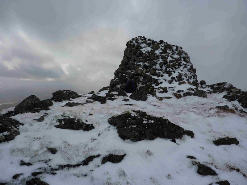
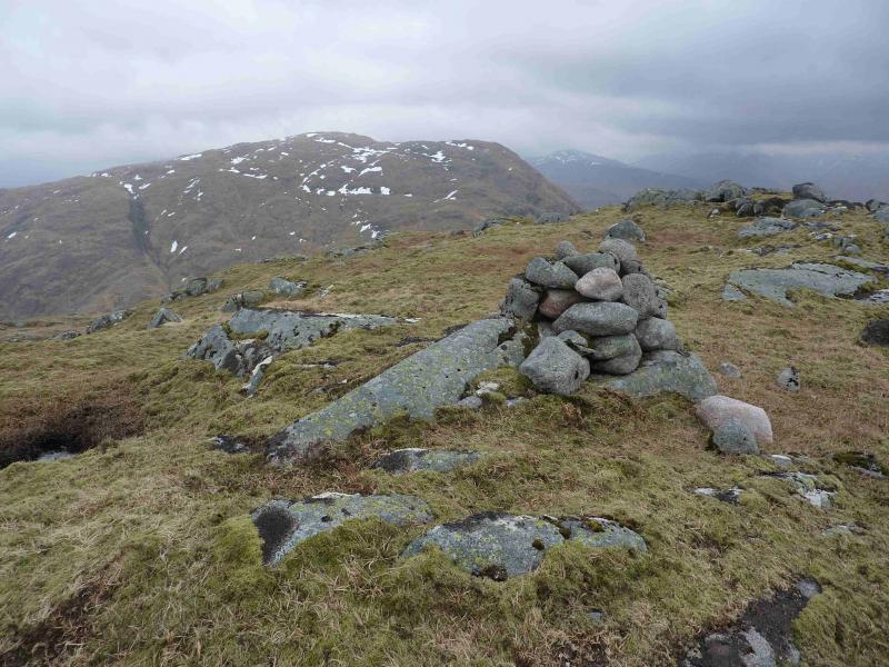
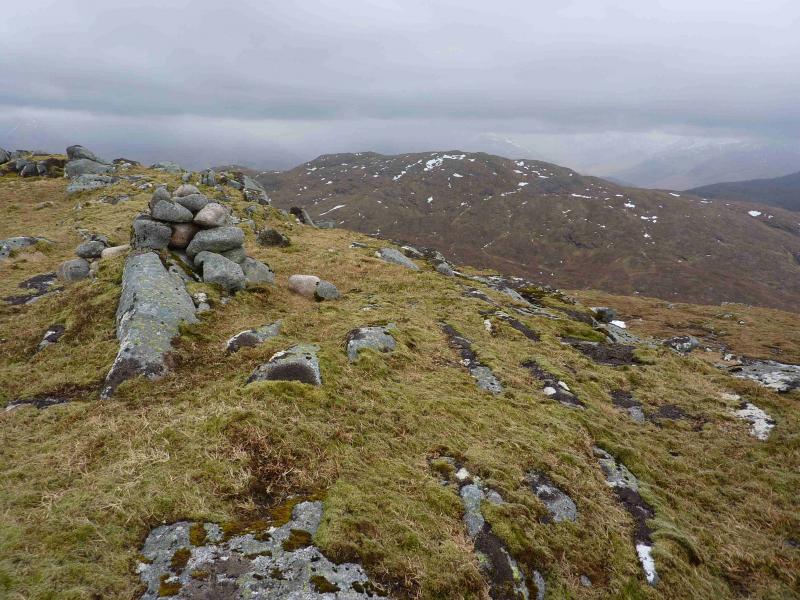
Beinn Bhreac, 726 m, NN 008 408.
Beinn Molurgain, 690 m, NN 019 400. OS sheets 49 and 50.
Introduction
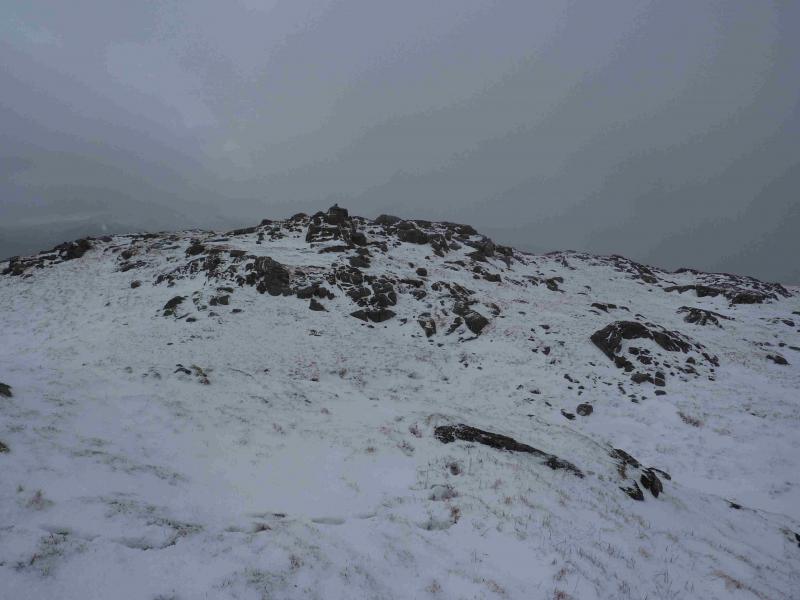
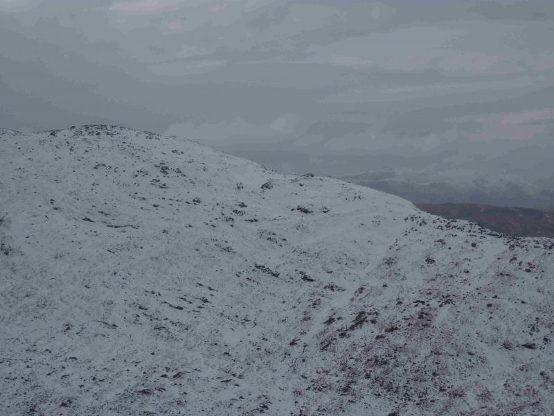
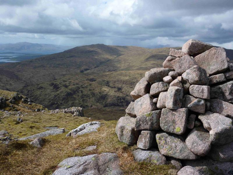
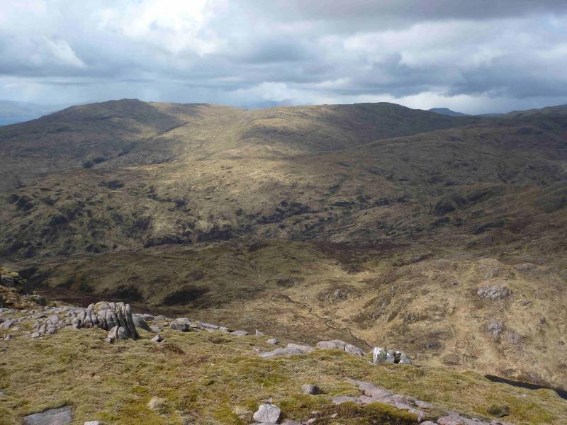
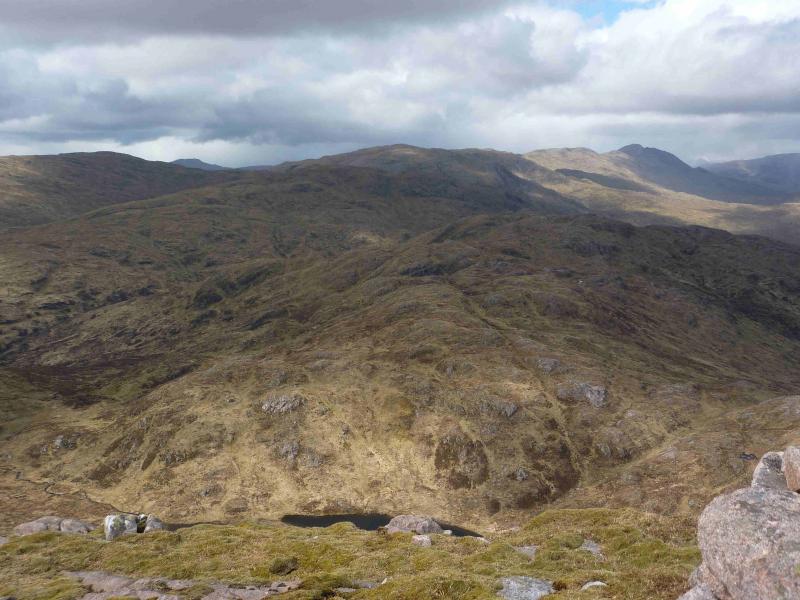
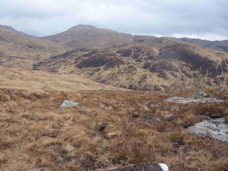
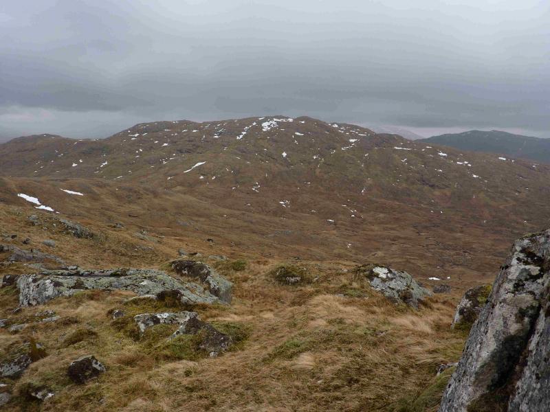
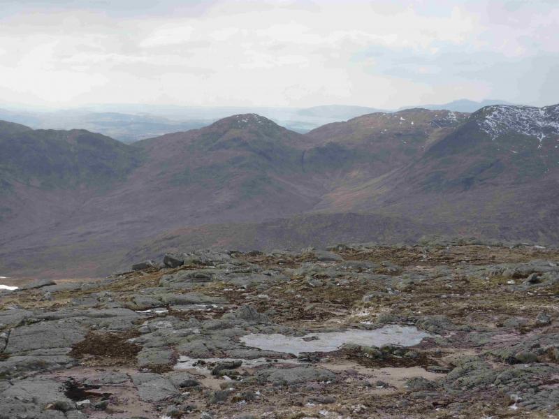
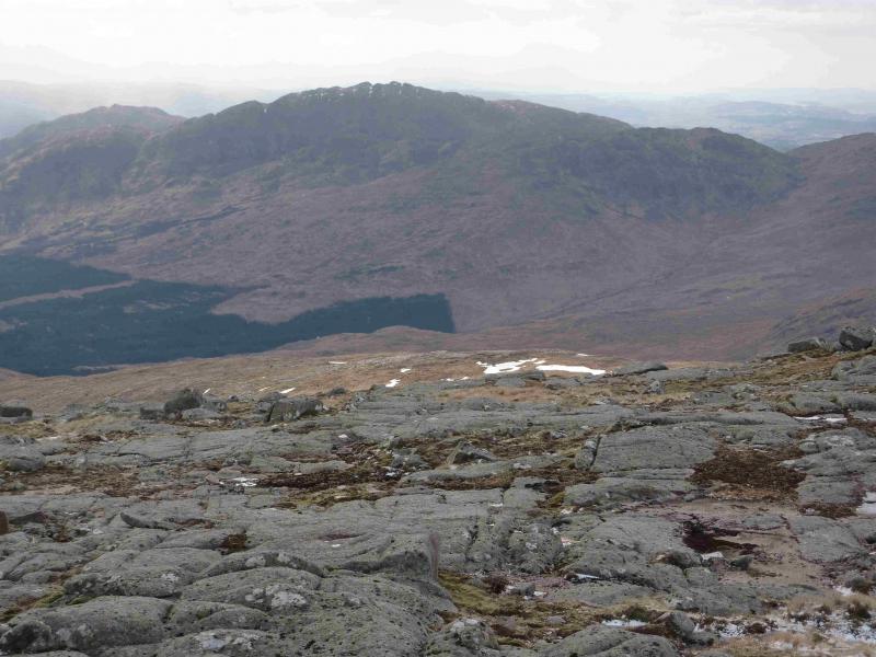
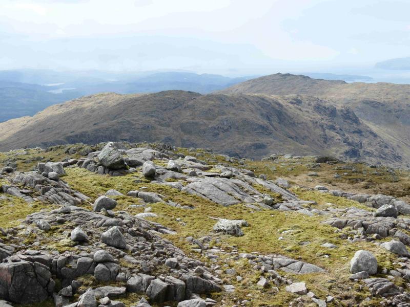
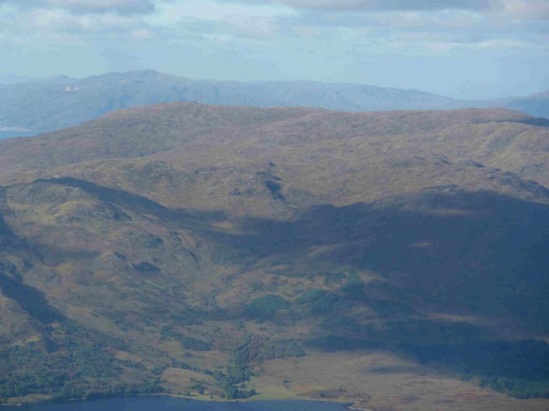
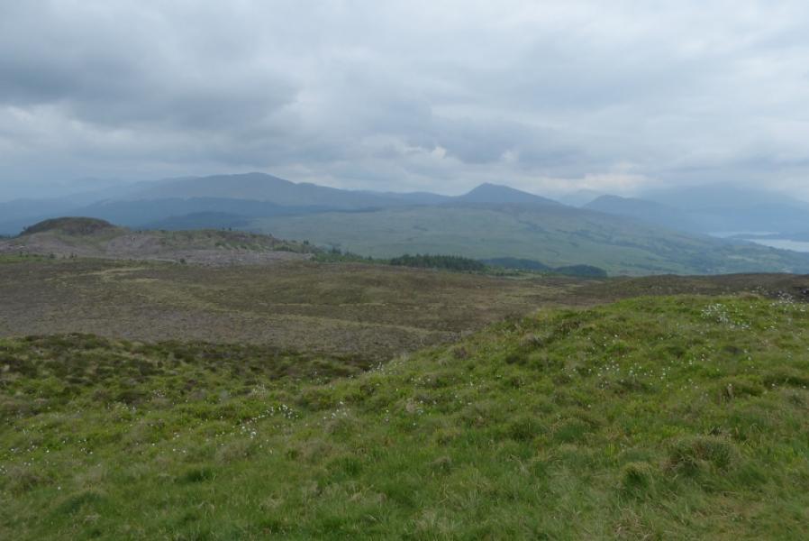
This is quite a strenuous circuit with much rough walking over quite complex pathless terrain which is difficult to navigate in mist and harder still in mist and snow. On a clear day there are very good views to Creach Bheinn, Beinn Sgulaird, the Glen Etive hills as well as to Ben Cruachan.
Route
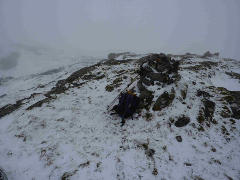
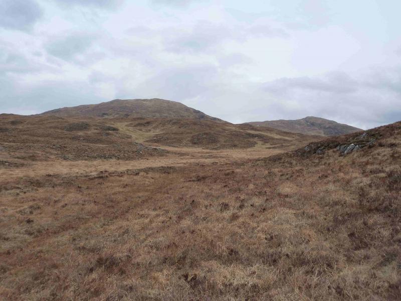
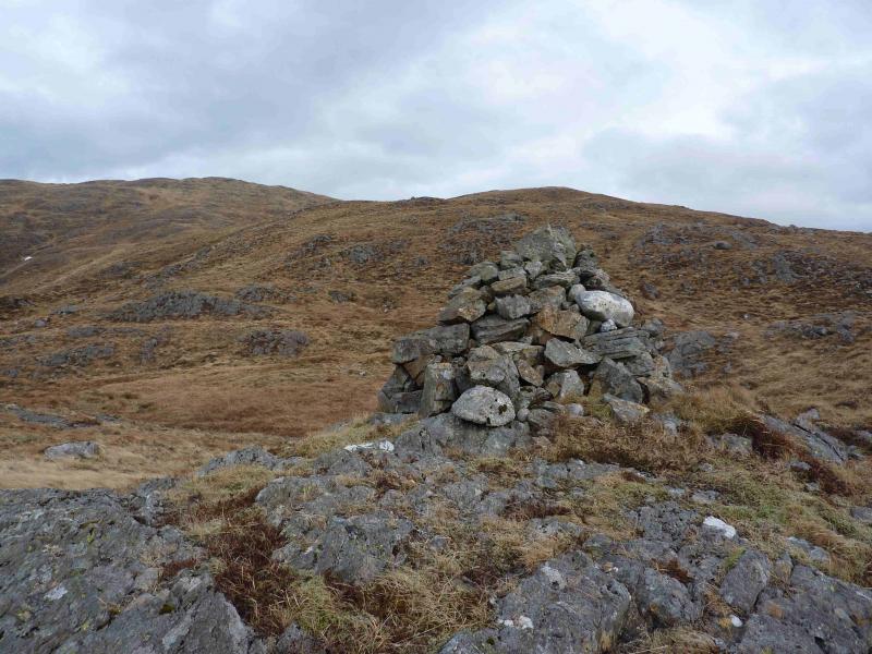
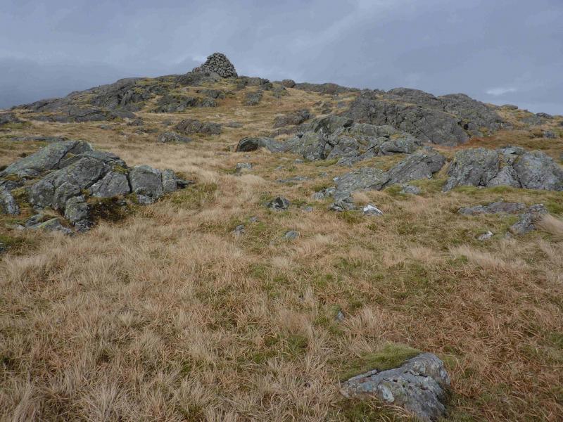
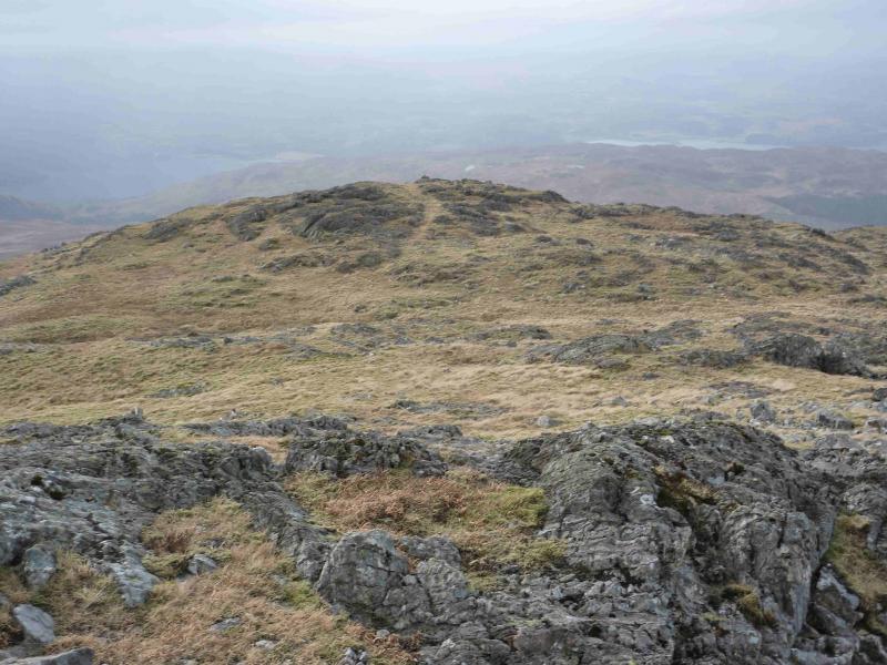
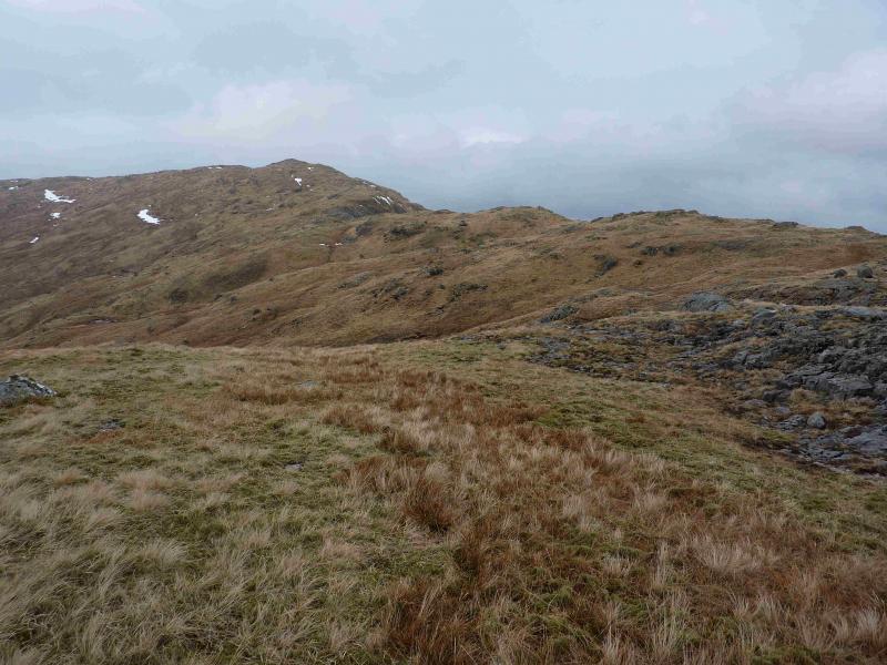
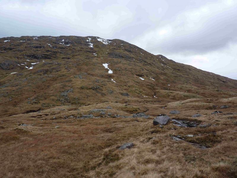
(1) Go through the gate and follow the ATV track which soon runs alongside a fence for a while and generally heads N avoiding most of the ups and downs of the undulating ridge heading N. Just after descending into an obvious wide grassy hollow, the track splits. The left hand fork, climbs steeply and goes roughly up the centre of the ridge to end at a low fence where there is no stile or gate. The fence runs E – W and descends W to a moorland lochan shown on the map at about NM 989 389. From here, the fence has to be climbed over and the complex undulating ridge followed roughly N to the large cairn which is the summit of Beinn Bhreac's W top, 708 m, This is marked on the 1992 OS sheet 49 map as Beinn Bhreac but it is not the summit! The right hand fork stays lower, initially passing a large boulder to reach the above fence well to the E at a gate. From here one can climb roughly NNW up complex terrain to the large cairn on the W top. From the cairn, head NNE along a broad undulating ridge for about 700 m then turn E and descend into a bealach. From there, climb roughly ENE up a knobbly ridge for about 1 km to reach a small cairn which is the true summit of Beinn Bhreac, 726 m.
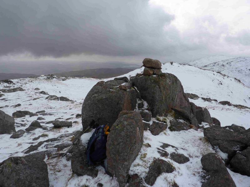
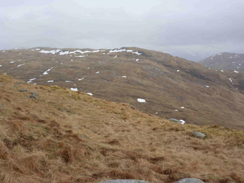
(2) From the summit, descend roughly E, along an obvious ridge for about 500 m until the ridge levels out then descend roughly SE into a broad bealach and climb out SE on the other side, up easy slopes to reach the small cairn which is the summit of Beinn Molurgain, 690 m. A slightly lower cairned top lies just to the SW across a shallow dip.
(3) From the summit, descend roughly WSW to reach the burn flowing from the bealach crossed before ascending Beinn Molurgain. Cross the burn and follow its W bank down. When a high deer fence is reached, follow it roughly W, with some ascending, crossing the Eas na Gearr (which flows from the bealach between the two tops of Beinn Bhreac. Eventually the deer fence meets the low fence encountered on the walk in. Go through the “gate” and traverse roughly SSW to reach the outward track which can be followed back to the start.
Notes
(a) This walk took place on 11th March, 2011 and 9th March, 2013.
Photos - Hover over photo for caption. Click on to enlarge. Click on again to reduce.