Get Lost Mountaineering
You are here: England » Peak District » Kinder, Brown Knoll & South Head from Hayfield
Kinder Low End, Kinder Scout, Kinder Plateau, Kinder Downfall, NW Trig Pt. & Sandy Heys from Hayfield campsite or Bowden Bridge car park
Kinder Low End, Kinder Scout, Kinder Plateau, Kinder Downfall, NW Trig Pt. & Sandy Heys
from Hayfield campsite or Bowden Bridge car park
Start/Finish
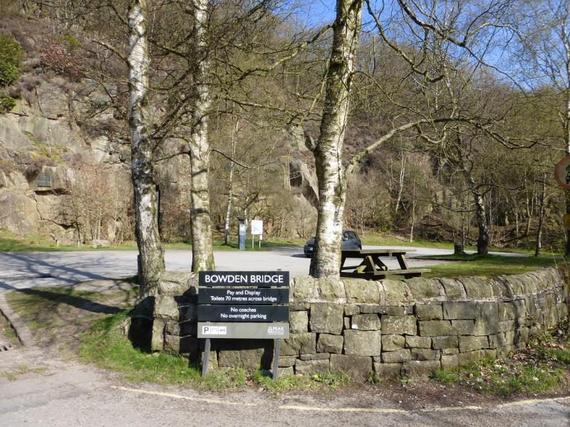
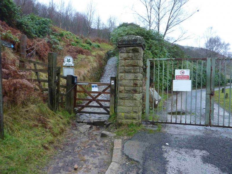
Hayfield campsite or Bowden Bridge car park. If coming from the south or east, take the A619 from Chesterfield to Baslow before picking up the A623 signed for Manchester. Those approaching from Buxton, on the A6, will meet this route at a roundabout just before Chapel-en-leFrith. Soon after, take the A624 signed for Glossop. Continue on this road until the right turn into Hayfield village is reached. Turn in then go left and pass the church before crossing the river then follow the road on the N side of the river until past the Sportsman pub. Soon after there is a right turn, over a bridge, for the campsite. There are public toilets just across this bridge. The Bowden Bridge car park is a little further along the road after this turning. Those approaching from Glossop should fork left on the one way street into the village until the above route is joined. There are a few signs in the village for the campsite which may help.
Distance/Time
13 km About 4 hours
Peaks
Kinder Low, 633 m, SK 079 870.
Kinder Scout 1, 636 m, SK 084(62) 875(37)
Kinder Scout 2, 636 m, SK 086(22) 875(49)
Kinder NW Trig Point, 624 m, SK 077 894.
OS Outdoor Leisure 1: Dark Peak. OS 110 (1:50 000).
Introduction
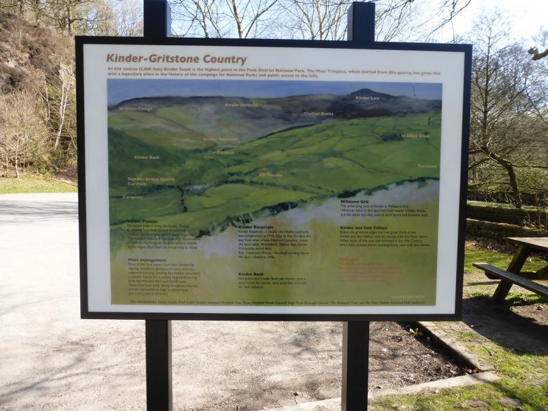
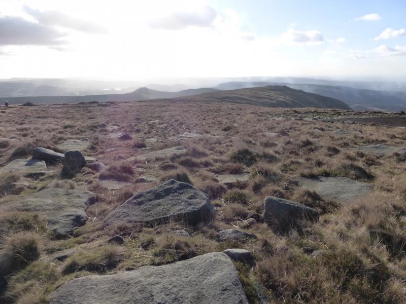
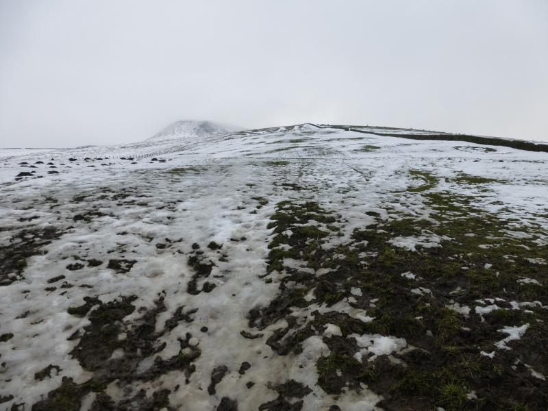
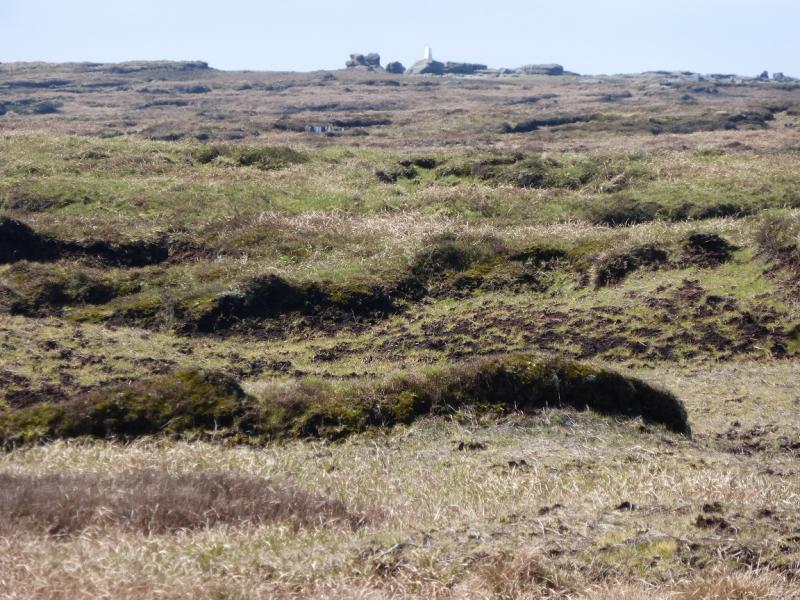
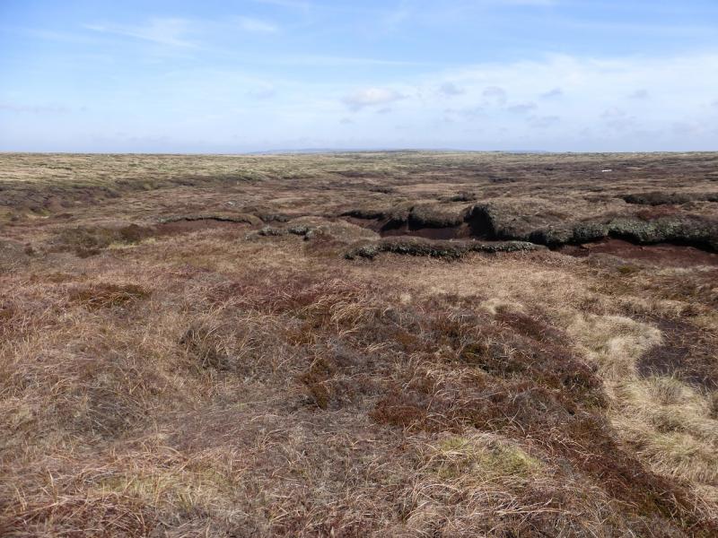
This is a lovely walk but the section from Kinder Low to Kinder Scout then to Kinder Downfall across the Kinder plateau is over boggy peaty ground so is best tackled either when the ground is frozen hard or when it has been baked dry by the summer sun when walking on the plateau can be a real pleasure. The path up the steep section of Kinder Low End has been constructed and is one of the finest paths in the Peak District. It knocks spots off the over romanticised Jacob's Ladder. Finding Kinder Scout will need a compass bearing or GPS as the small cairns are not visible until quite close. In clear weather, finding them should not be difficult. In mist, many find that navigation can be very challenging on the plateau but many people go wrong because they over elaborate so aim to keep it simple. From either summit of Kinder Scout, simply walk north until the river system of the River Kinder is reached then follow it to Kinder Downfall – initially north then west. The plateau can be very slow going under deep, drifted snow and this could add 2 – 3 hours to the route.
Route
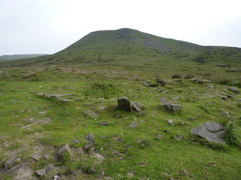
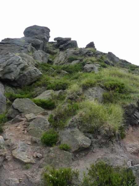
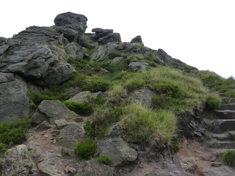
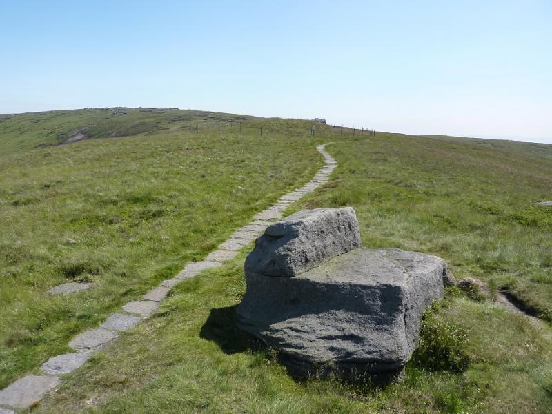
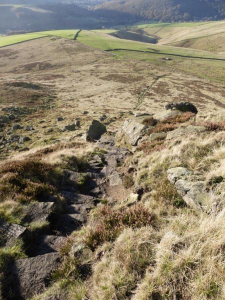
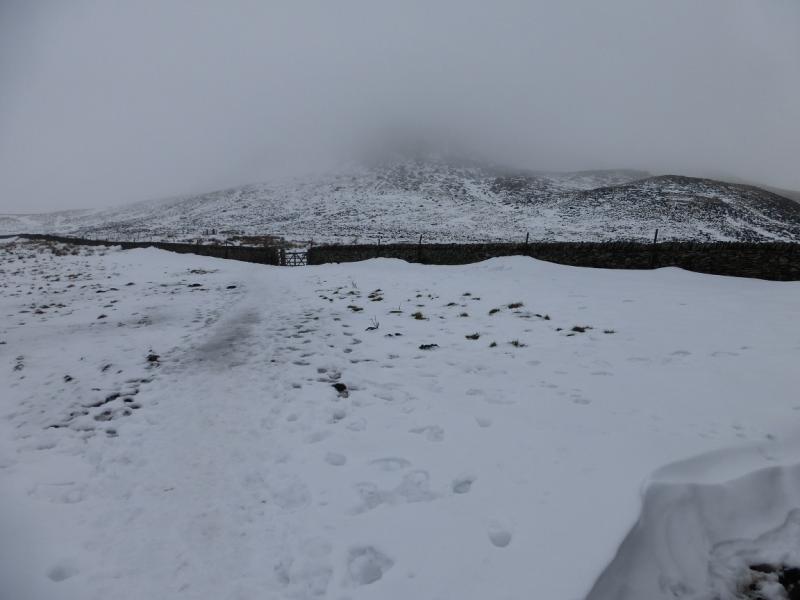
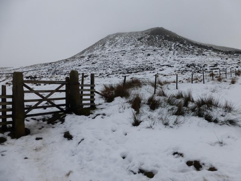
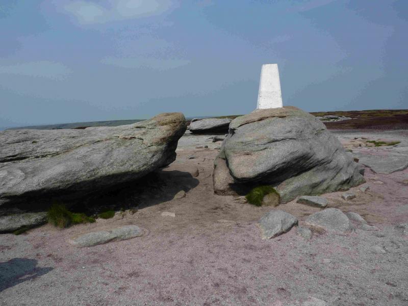
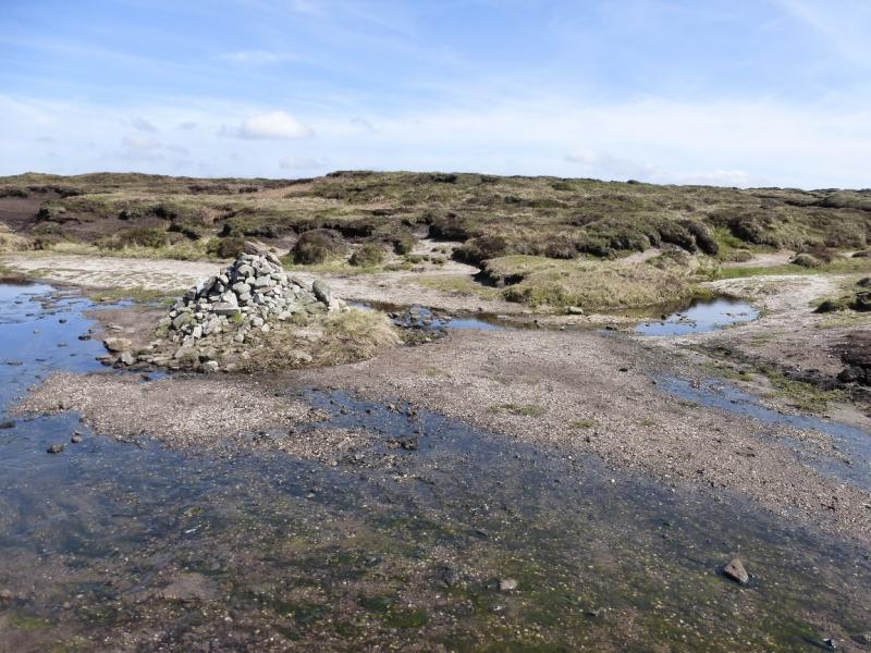
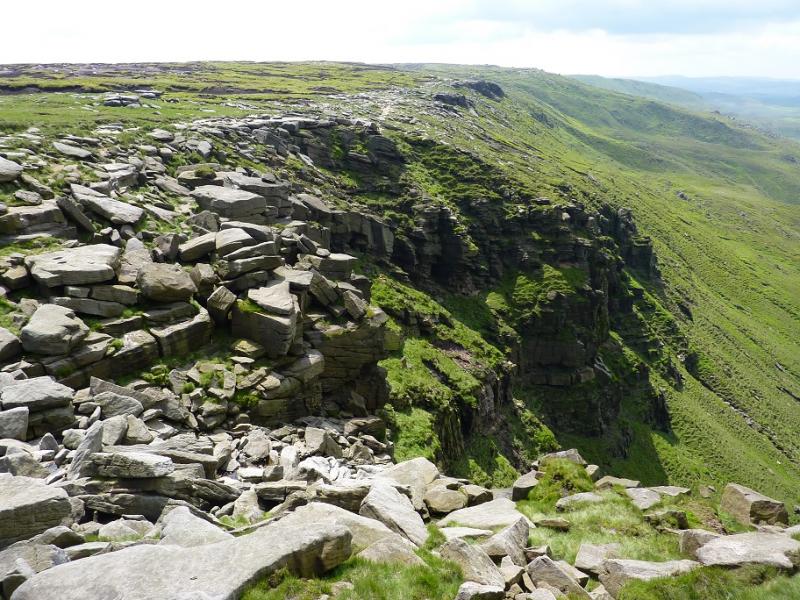
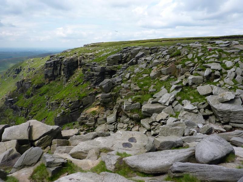
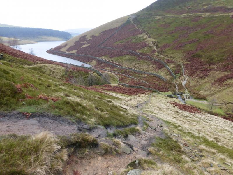
(1) From the bridge by the public toilets, turn left (camp site is right) and walk up the minor road with the river on the left. Soon the river is on the right. Keep going ahead at junctions, aiming for Tunstead House which is signposted. Walk up the track which goes around the right hand side of the buildings before heading E up a green lane. Follow this, shadowing a wall on the right, crossing stiles and passing through gates. Finally cross the wall on the right near to the National Trust sign, just past the wall. Walk up the side of the same wall, soon passing through another gate, before a path goes off to the right aiming for the obvious nose of Kinder Low End. A lovely engineered path takes over for the steep section. When the path levels out, continue. It soon becomes a slabbed path. Ignore another slabbed path going off right but remember it for later. Soon some cairns appear. Follow them until a very large cairn is reached. Turn right here and within 40 m, reach the trig point of Kinder Low, 633 m which stands on a boulder.
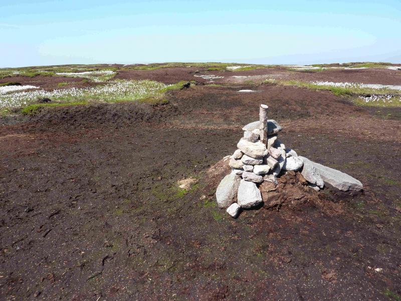
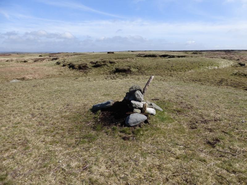
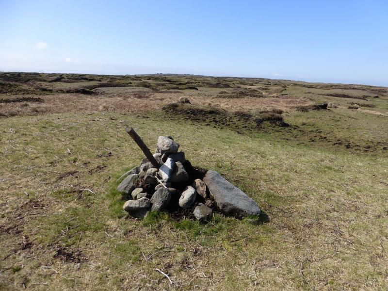
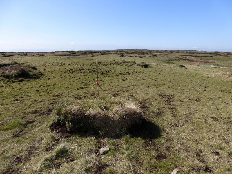
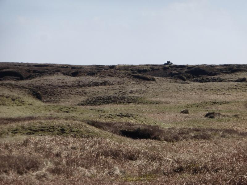
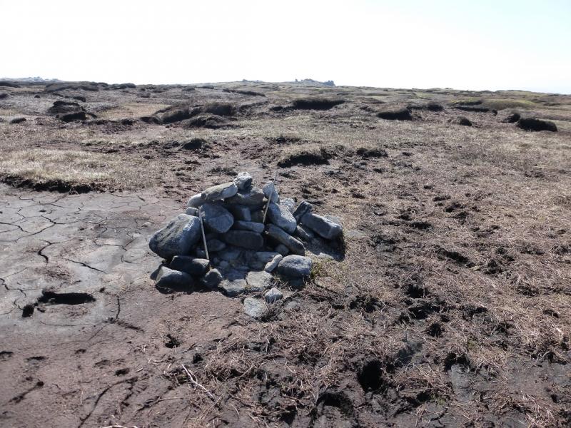
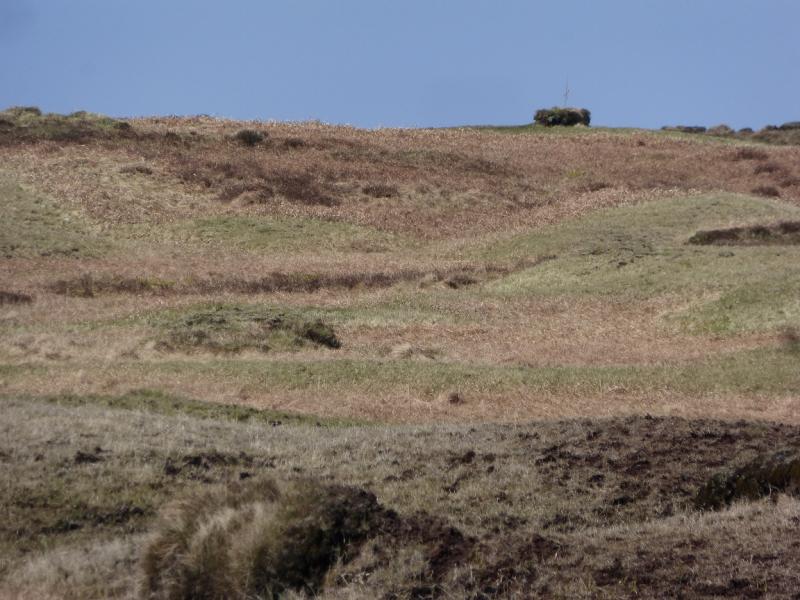
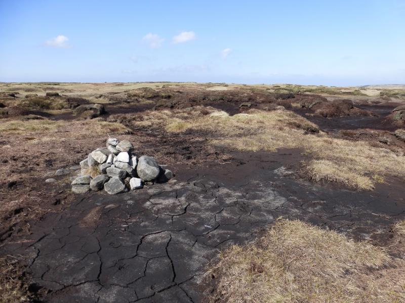
(2) Take a bearing for Kinder Scout, about 50 degrees or roughly NE, and try to follow it although some detours will be necessary because of the ground. It is about 500 m to the small cairn, with a pole in it on 20/4/15, which may mark the highest point of Kinder Scout, 636 m although the slightly larger all stone cairn about 300 m further may well be the true high point. Both seem about the same height on the ground but the second one more closely matches the “official” location of the highest point. For this reason the ten figure grid references (correct to within 5 m) are given as taken at the cairns. The distinctive outcrop of Pym Chair can be seen almost due S of the second cairn on a clear day. There is a small “peat cairn” near to the W summit cairn from which the Kinder Low Trig point is visible.
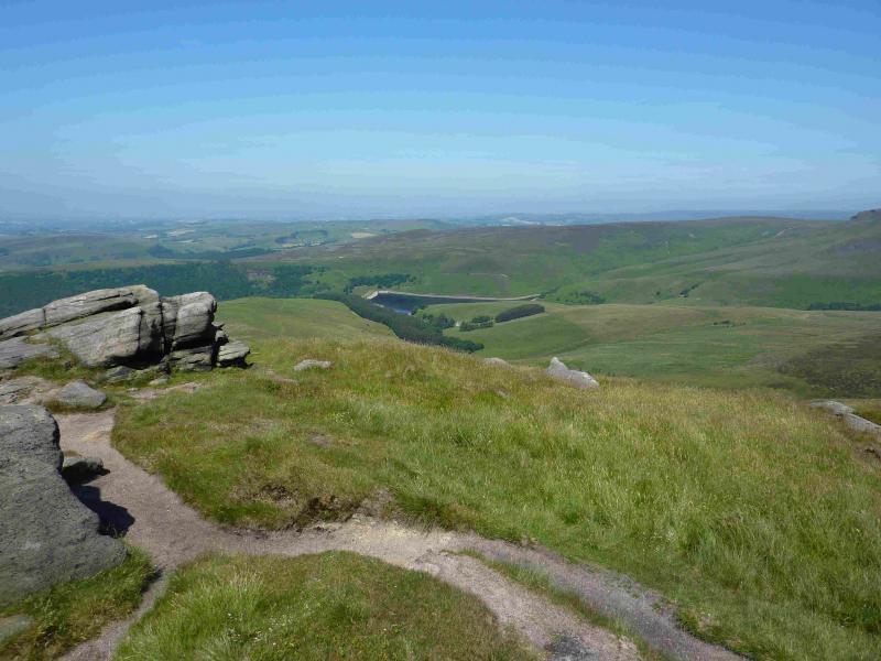
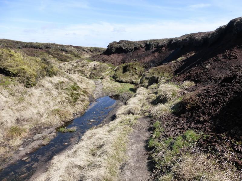
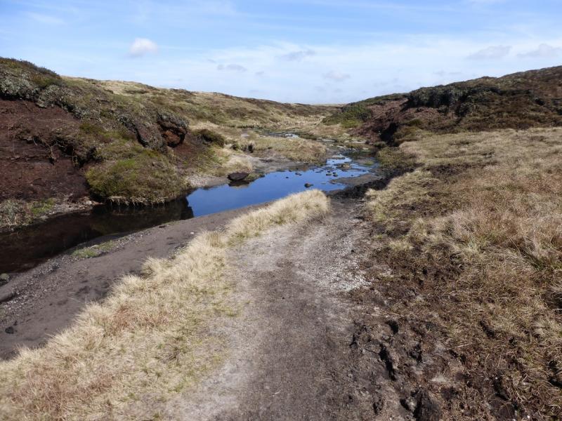
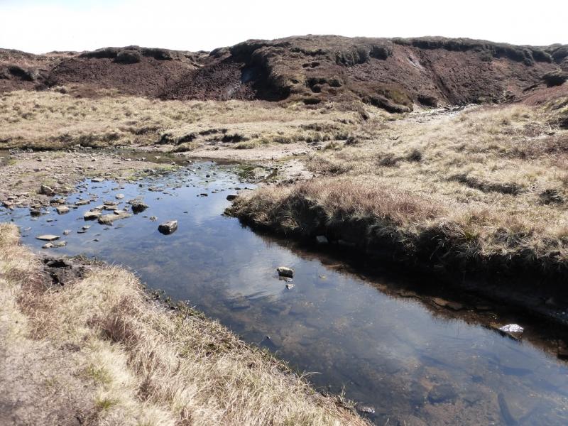
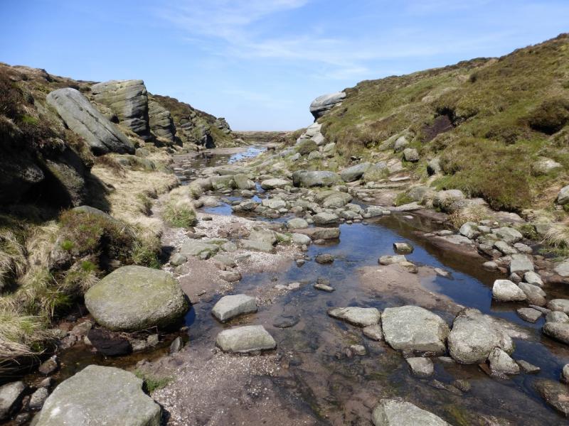
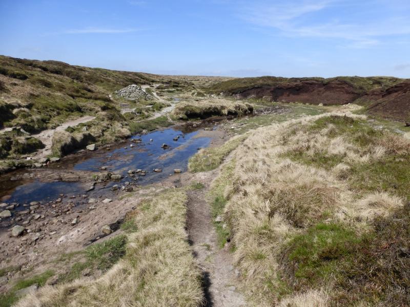
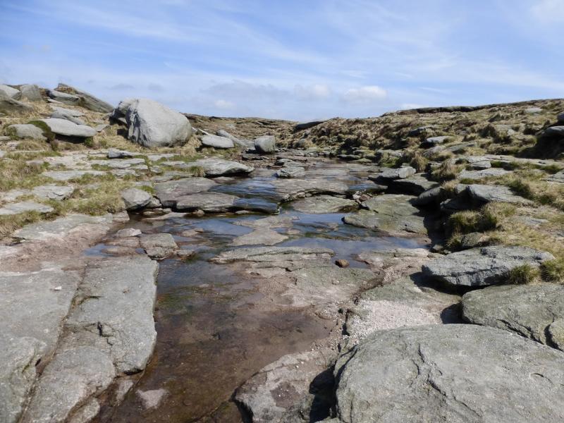
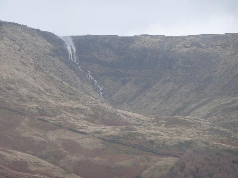
(3) From either summit, simply walk N to enter the River Kinder catchment. Follow any stream heading roughly N and soon it will become the widening River Kinder. It passes between large outcrops known as Kinder Gates before curving around to the W to reach Kinder Downfall. If the path on the S side of the river has been followed then the river will need to be crossed near to the Downfall. This is not a problem in a dry spell. In a wet spell, it might be best to stay on the opposite bank where the path is fainter to avoid crossing the river. Note that the ground on the plateau is very featureless, more so in mist and much more so in mist and under deep snow when the river may be frozen solid!
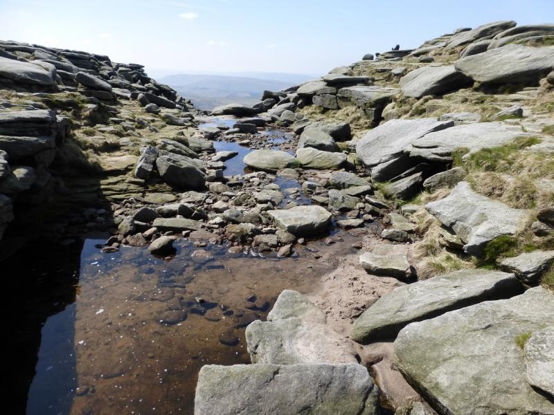
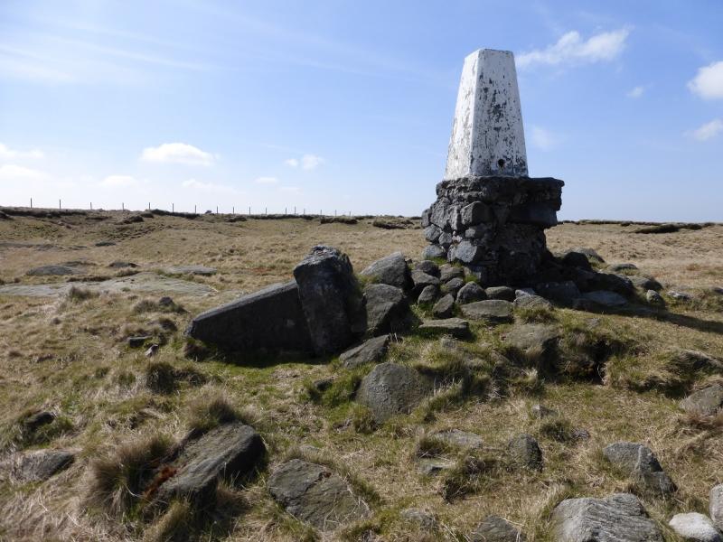
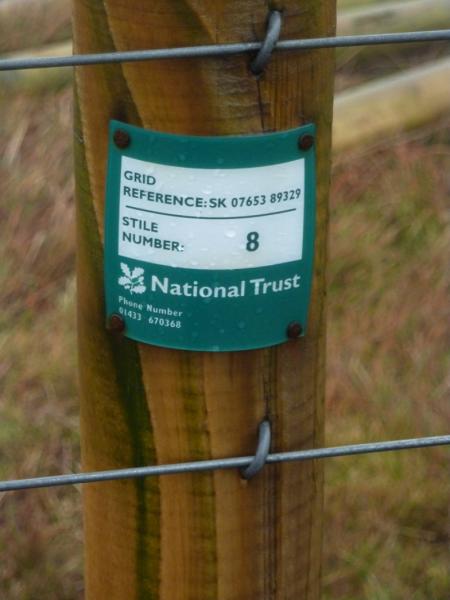
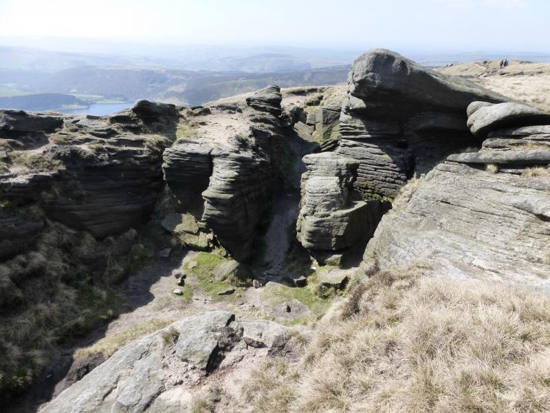
(4) From Kinder Downfall, follow the path going W/WNW which passes some interestingly shaped rocks and crosses a fence at a gate. Leave the edge path here and follow the fence which soon turns left at an obvious corner. This fence passes within 40 m of the trig point of Kinder NW, 624 m, which is on the right. There is a stile, labelled Stile 8, over the fence. The trig point is not a summit as there is obvious higher ground nearby. If the Trig Point can not be seen from the fence, walk at 1 o'clock for about 40 m. Retrace back to the fence then back along to the edge path.
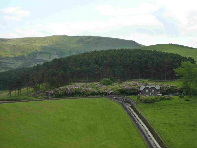
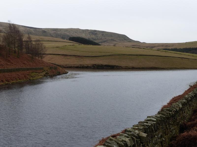
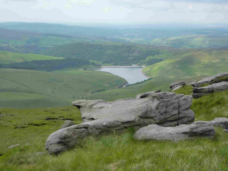
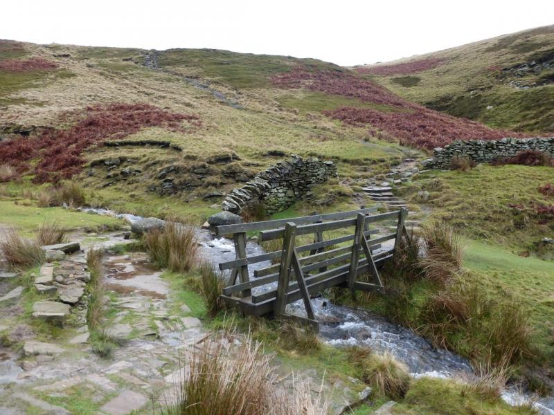
(5) When the edge path turns 90 degrees right, you are at the top of the Sandy Heys ridge. Follow the path down this ridge to reach the bridge at the foot of William Clough. Follow the path by the reservoir, keeping the water on your left, to pass the dam then descend to the private water road. Follow this to the public road then continue back to the start.
Notes
(a) This walk took place on 20th April, 2015.
(b) The campsite at Hayfield is very pleasant and well equipped. It is owned by the Camping and Caravanning Club. The rates for members, about £7 less per night, are very much below those for non-members. It may be worth joining as it only takes about six nights to break even.
Photos - Hover over photo for caption. Click on to enlarge. Click on again to reduce.