Get Lost Mountaineering
You are here: England » Peak District » Kinder, Brown Knoll & South Head from Hayfield
The Knott, Mill Hill, Kinder (NW, Downfall & Low), Edale Cross, Brown Knoll, South Head & Mount Famine from Hayfield
The Knott, Mill Hill, Kinder (NW, Downfall & Low), Edale Cross, Brown Knoll, South Head & Mount Famine from Hayfield
Start/Finish
Hayfield village. If coming from the south or east, take the A619 from Chesterfield to Baslow before picking up the A623 signed for Manchester. Those approaching from Buxton, on the A6, will meet this route at a roundabout just before Chapel-en-le-Frith. Soon after, take the A624 signed for Glossop. Continue on this road until the right turn into Hayfield village is reached. Park anywhere in the village but a good spot is just up Kinder Road. From the south (Chapel) turn in then go left and pass the church before crossing the river then follow the road on the N side of the river. This is Kinder Road. Those approaching from Glossop should fork left on the one way street into the village until the above route is joined. It is probably best to drive up the narrow Kinder Road for a short distance until the start of the Snake Path is reached. Park, on the road, near here. It may be a good idea to turn round, once the Snake Path is located, and park a little lower down the road.
Distance/Time
16 km About 6 hours
Peaks
The Knott, 454 m, SK 046 893.
Mill Hill, 544 m, SK 061 504.
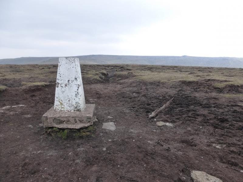
Kinder NW Trig Point, 624 m, SK 077 894.
Kinder Low Trig Point, 633 m, SK 079 870.
Brown Knoll, 569 m, SK 083 851.
South Head, 494 m, SK 061 845.
Mount Famine, c 470 m, SK 056 849.
OS Outdoor Leisure 1: Dark Peak. OS 110 (1:50 000).
Introduction
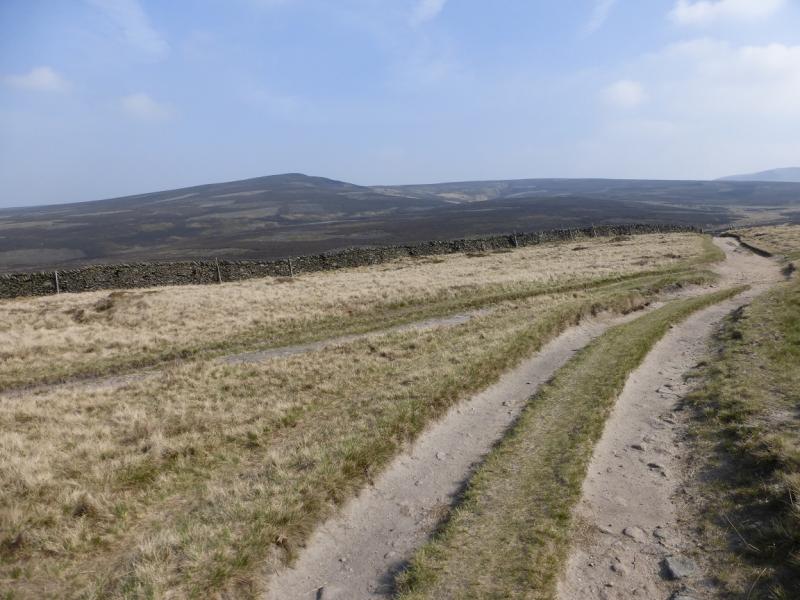
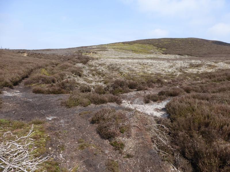
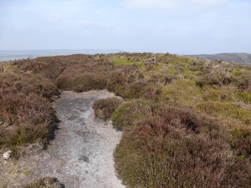
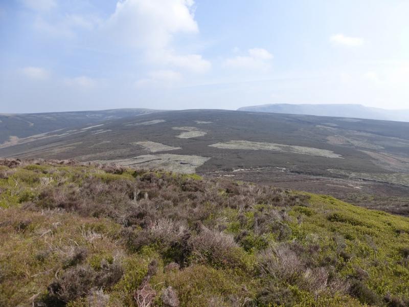
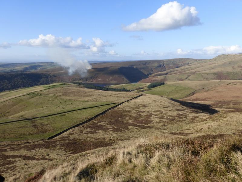
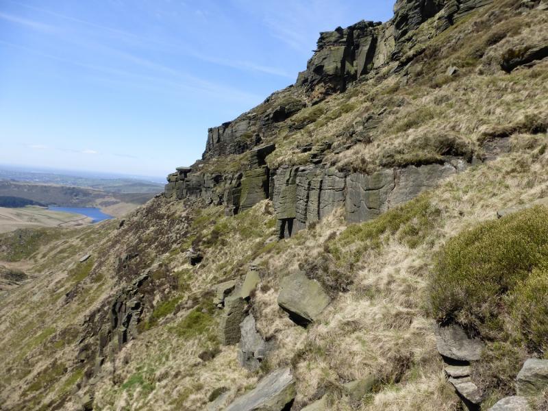
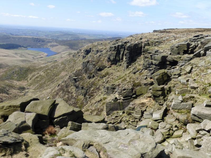
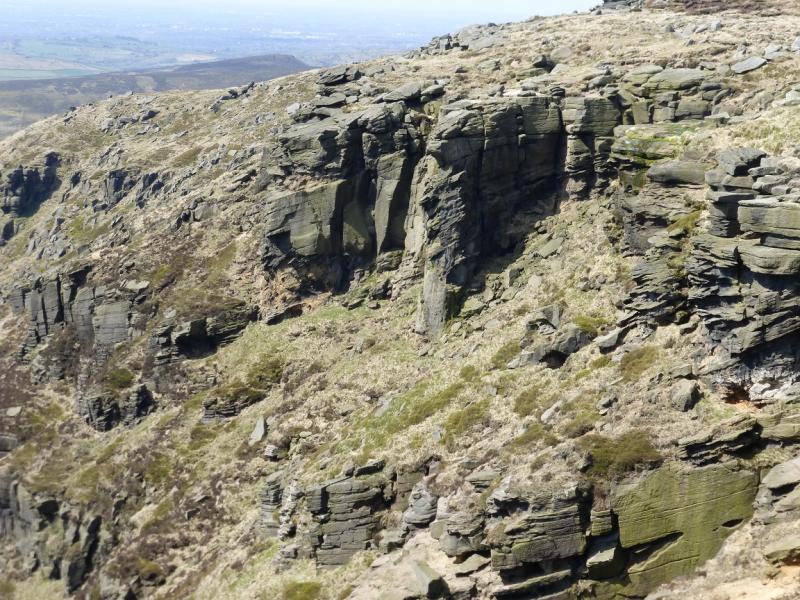
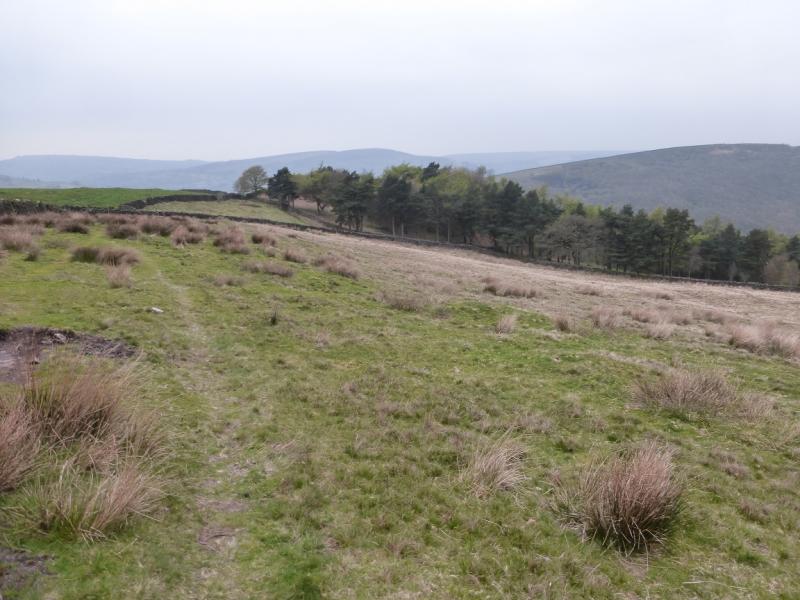
This is a very pleasant ridge and edge walk. It is probably the largest sensible horse shoe which can be walked from Hayfield. It takes in The Knott, Mill Hill much of the western edge of Kinder including the NW Trig Point, Kinder Downfall (which often blows back in a strong westerly!) and Kinder Low Trig Point before returning via Edale Cross then over Brown Knoll, South Head and Mount Famine. Apart from the final part of the ascent of The Knott, most paths are good and fairly easy to follow although some can be boggy. There are many unusual rock formations on the edge of Kinder which also provide good shelter, if needed, for lunch. Most height is gained during the ascent of The Crook and Mill Hill before using the engineered Pennine Way to ascend on to the edge of the Kinder Plateau where the route takes in Kinder NW Trig Point, Kinder Downfall and its cliffs and the smaller Red Brook gully. The path then continues, along the western edge, to Kinder Low Trig Point before descending to Edale Cross on the west side of Swine's Back rocks. The Kinder plateau, in mist, is no place for the inexperienced navigator though. It can be very easy to get lost even on the edge. However, the route from Mill Hill to the NW corner of Kinder and the path along the edge are both easy to navigate, even in mist but the minor diversions to Kinder NW Trig Point and Kinder Low Trig Point can be taxing in mist. For these reasons, this walk is best kept for a clear day.
Route
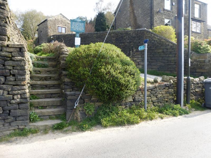
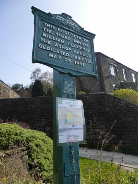
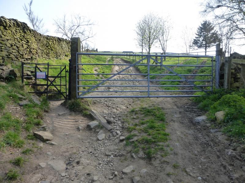
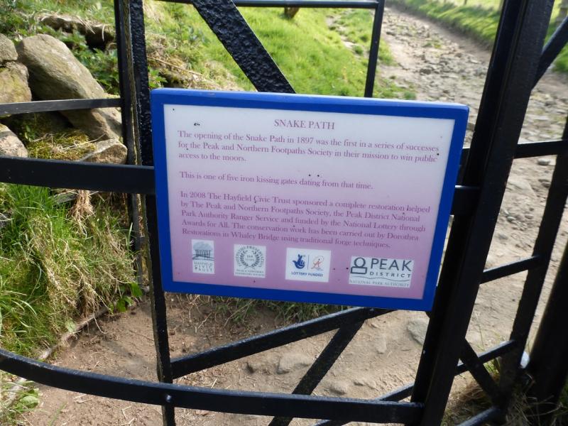
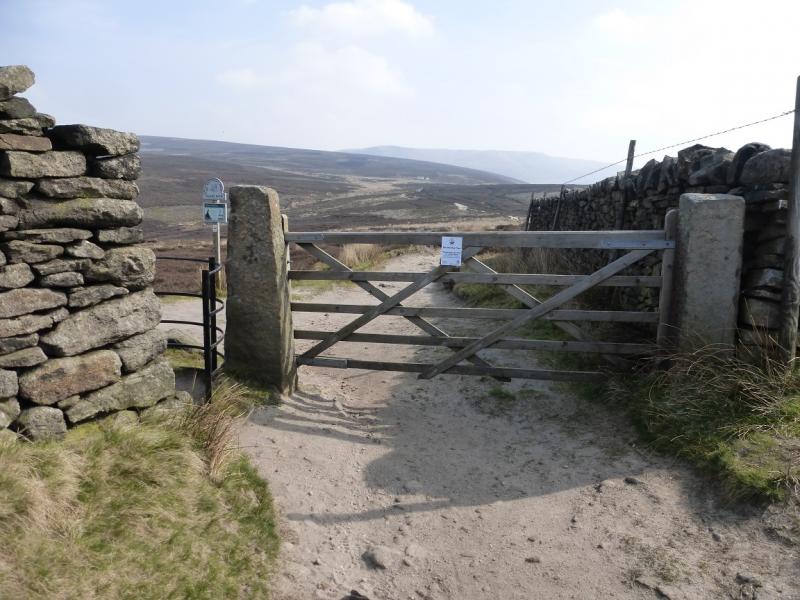
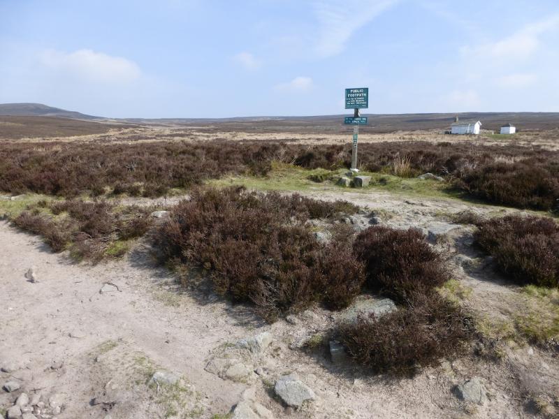
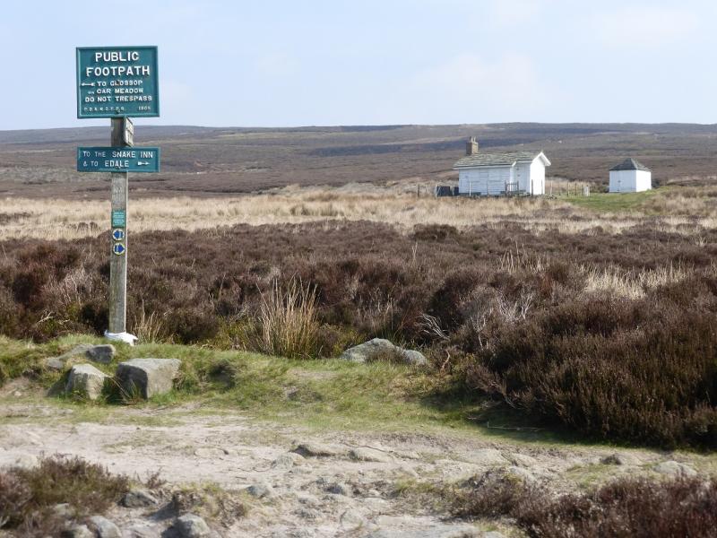
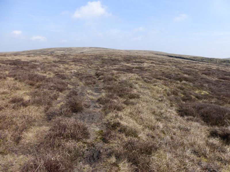
(1) Walk up Kinder Road to the signed start of the Snake Path (on the left). Follow the path/track through 5 iron kissing gates until a sign post is reached not far from the white shooting cabin on Middle Moor. The signs point in 3 directions but take the faint path not signed which seems to head straight for The Knott. This goes over a slight rise to reach an unamed stream across which one should be able to see the start of a line of grouse butts. Cross the stream and follow the path up through the grouse butts which are numbered. A rough track is crossed between 8 & 9. Soon after, the path becomes too faint to follow so pick a way up through the rough, but short lived, ground to reach the heathery summit (no cairn) which is the top of The Knott, 454 m. If one wishes to walk to the white shooting cabin (2 buildings) then take the track passing in front of them and follow this up to reach the same stream, but higher up, then pick a way, over rough and wet ground, to the line of grouse butts.
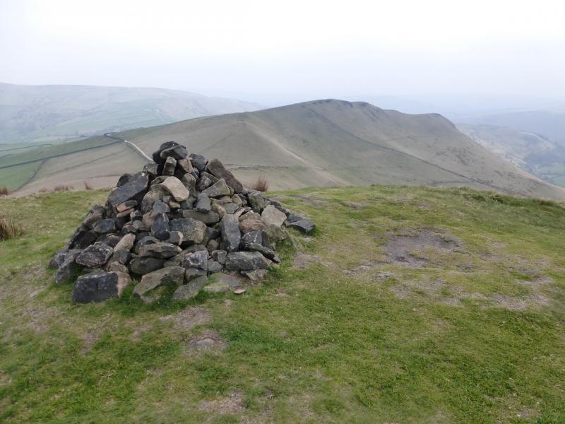
(2) A path goes roughly W down The Knott but becomes faint in the col below. Continue ahead, aiming for the line of grouse butts going up the W side of Leygatehead Moor. The first grouse butt reached should be number 3. Follow the line of grouse butts up on a fairly obvious path/track which gets fainter higher up. At about a wooden grouse butt, cross over the shallow peaty gully where there is a more obvious path and follow it up Leygatehead Moor. It is faint in places but the route is fairly obvious. Higher up, the heather gives way to grass and one soon reaches the large cairn which is the summit of Mill Hill, 544 m. The wide and obvious Pennine Way is the other side of the cairn.
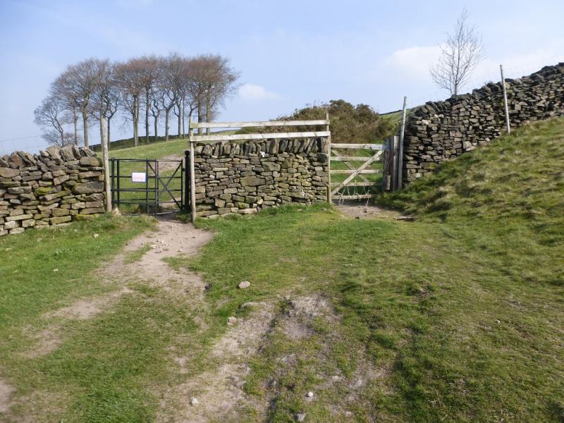
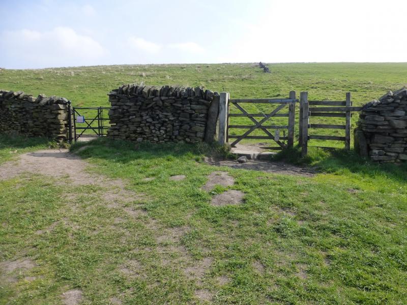
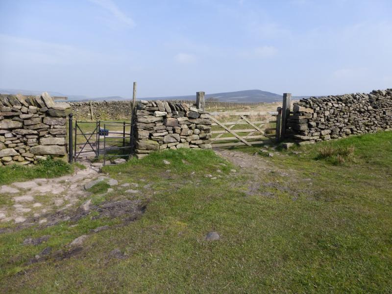
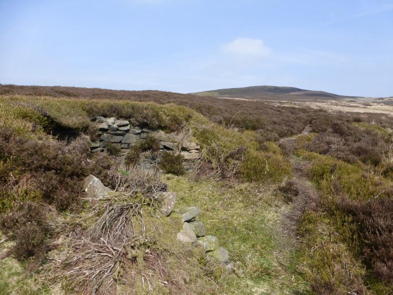
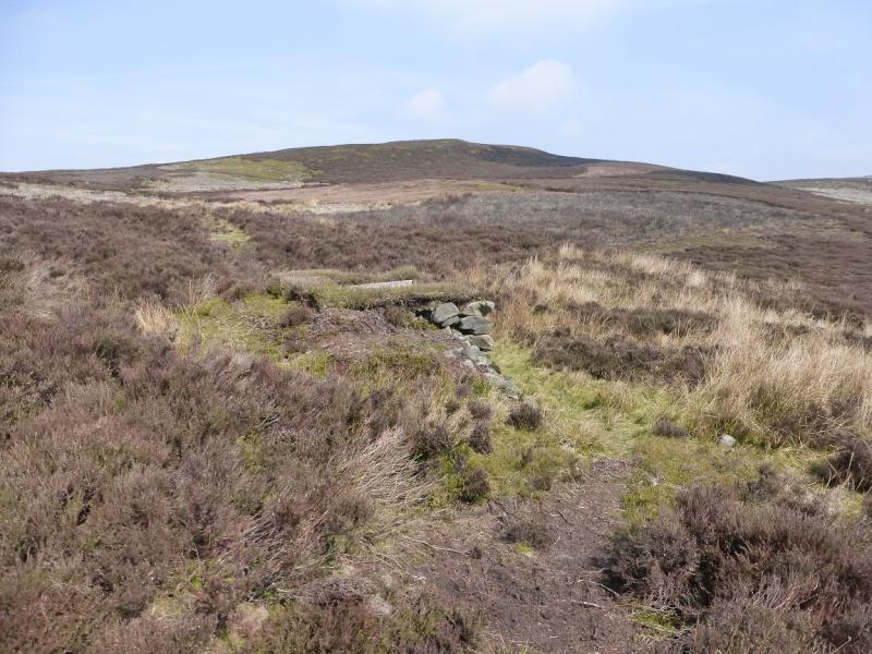
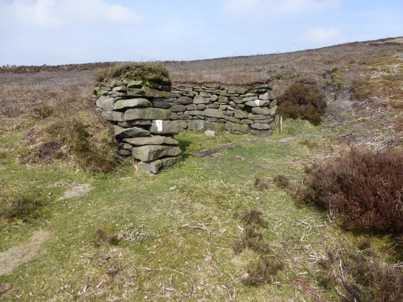
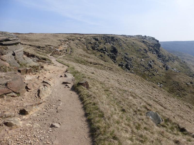
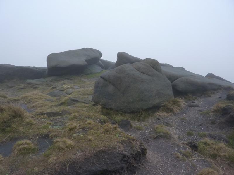
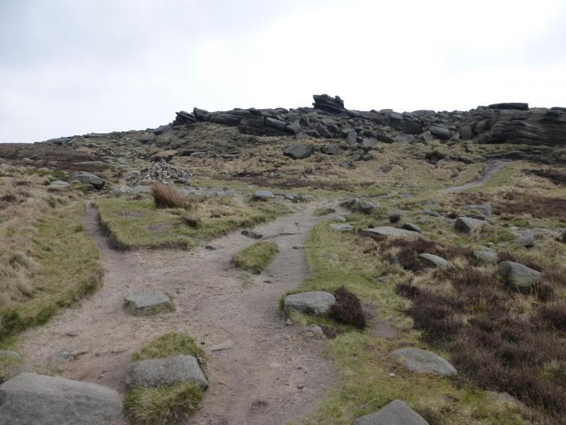
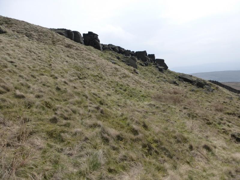
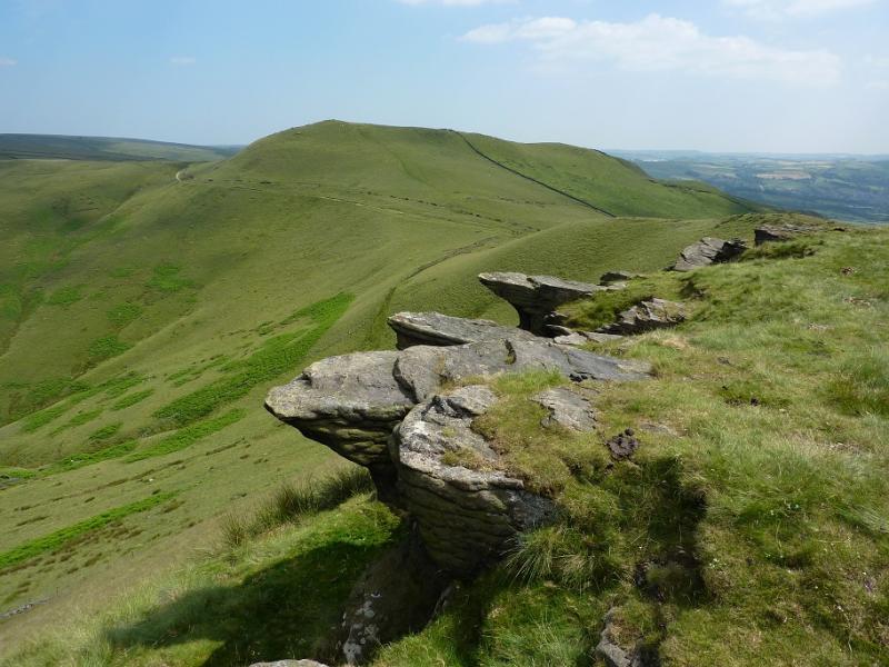
(3) Continue right, SE, on the Pennine Way. In clear weather, the NW corner of Kinder should be very prominent ahead. The now gravel path, soon to become slabbed again, continues to a sign post indicating routes to Hayfield, the Snake Path as well as the Pennine Way. It soon leads up, steeply in places, on to the NW corner of Kinder. The steepness ends at a large cairn. Follow the obvious path, along the edge, generally S to SE. If the weather is bad, there are some useful rocks to shelter behind and, on the right of the path, there is a rocky groove which offers the best shelter. Continue on the path, gradually ascending. Kinder NW Trig Point lies off this edge path and is on the Kinder Plateau. Follow the edge path to a “summit” by an outcrop after which the path descends. A fence, visible much of the way from the NW corner should be seen to the left. In clear weather, the trig point itself may be seen. If not walk to the fence and follow it shadowing the edge. There are a few stiles but one is about 40 m from the trig point which is slightly to the right. This is actually labelled as Stile 8 and has its grid reference of SK 07653 89329. on it. Note that Kinder NW Trig Point, 624 m is not the highest point in this area. In thick weather, the fence may not be seen from the path “summit” so, if you are sure you are in the right place (!), walk at 1 o'clock from the “summit” to meet the fence then follow it to Stile 8. If you cannot see the Trig Point – it is white and does not stand out in mist – from Stile 8 then also walk at about 1 o' clock for about 40 m. An even surer way to reach Stile 8, although slightly longer, is to stay on the edge path until a fence crosses it then follow this fence up and left to Stile 8.
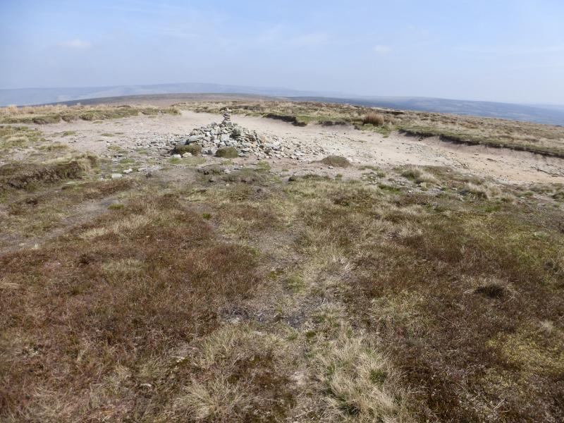
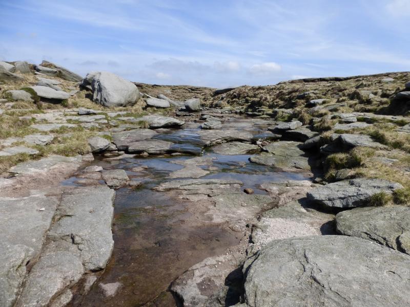
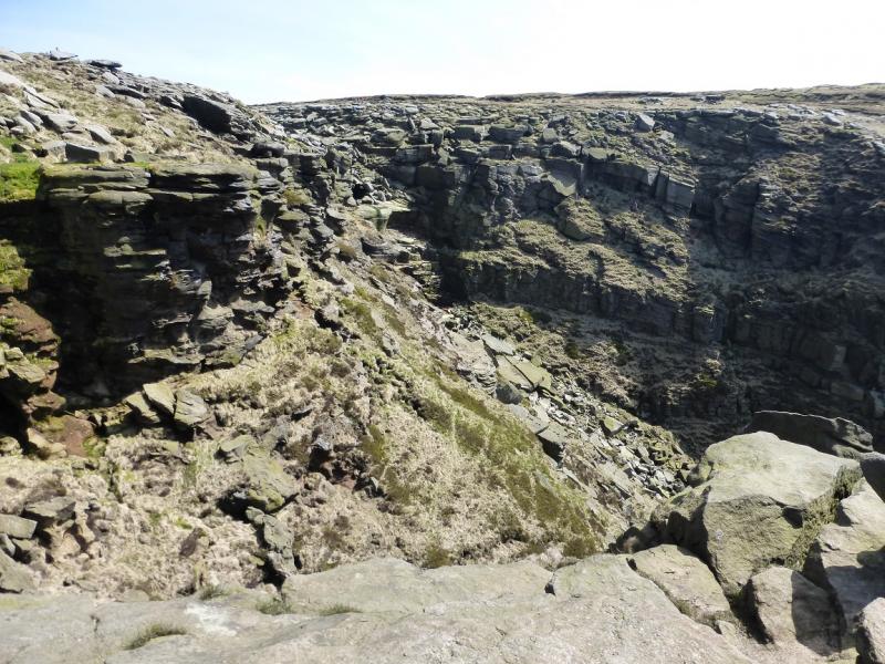
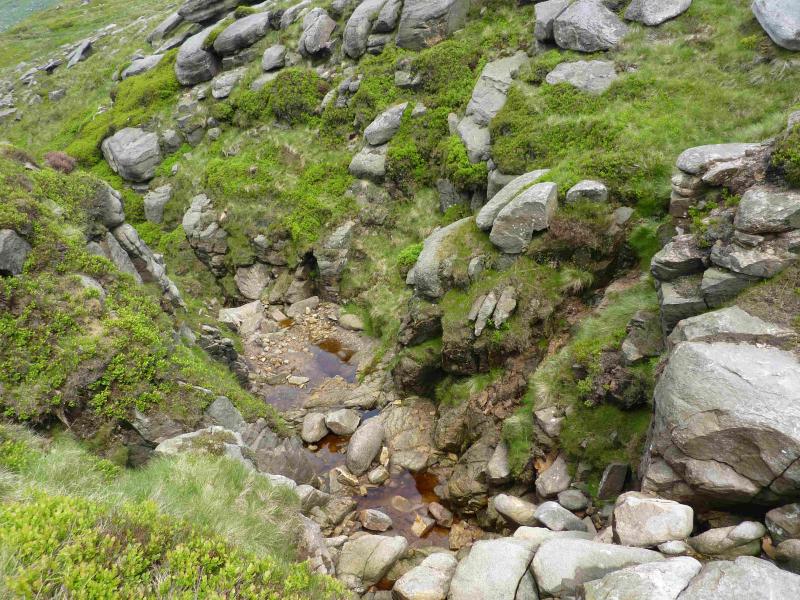
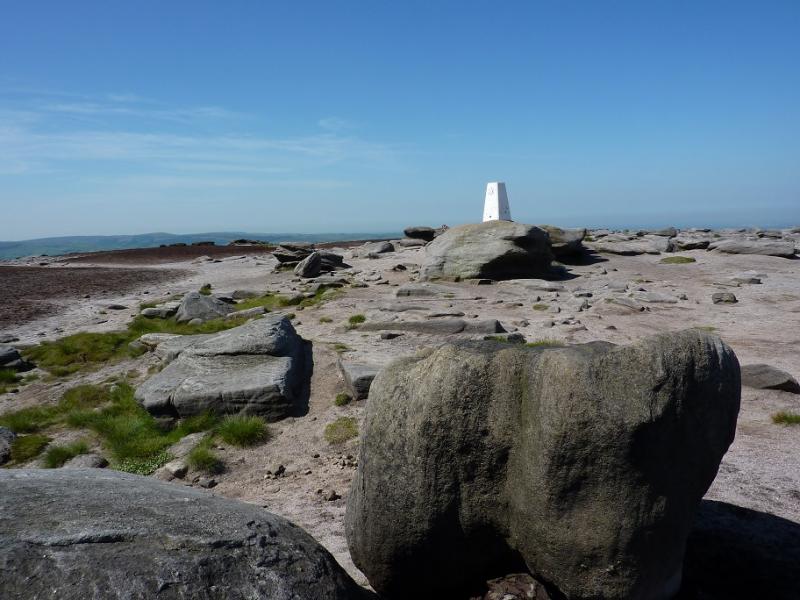
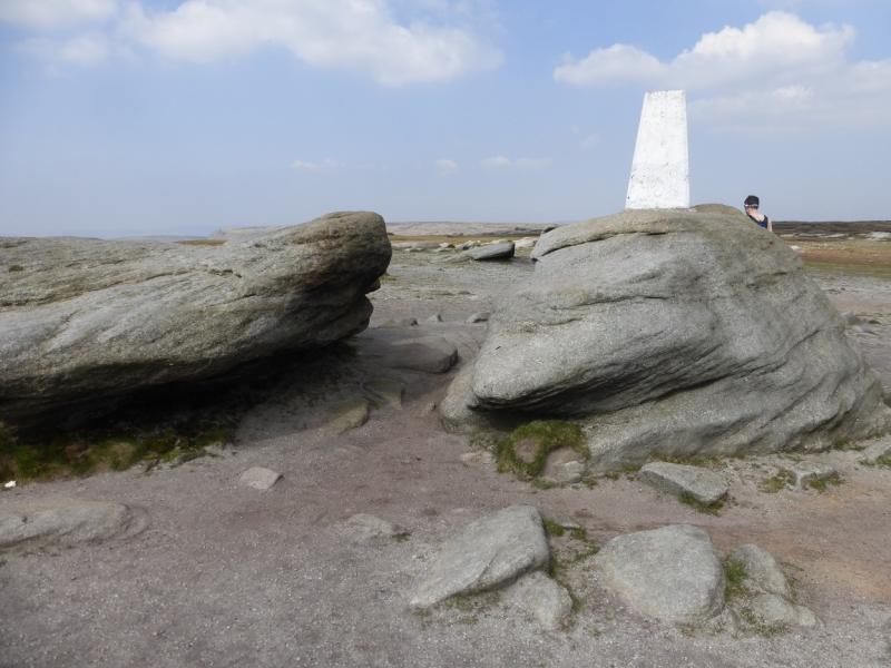
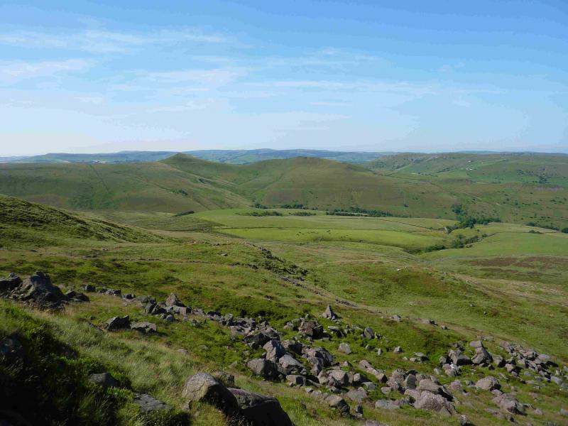
(4) From the trig point return to the stile then follow the fence back to the edge path. It turns at right angles then meets the edge path soon after and this can be followed to the downfall. In just over 2 km from the NW corner, the edge path cuts into the plateau to reach Kinder Downfall with cliffs either side. Cross the River Kinder easily and follow the edge path again, this time S, for about 1 km, to reach Red Brook which is a smaller version of Kinder Downfall. Continue along the edge, still on a fairly distinctive path which gradually starts to gain height. Kinder Low is about 1 km S of Red Brook. When the path splits below a rocky area, fork left (an old fence may be seen further left) and follow a path which soon leads to the trig point which is Kinder Low, 633 m. The Trig Point sits on a low rocky outcrop. Some people describe the landscape here as lunar.
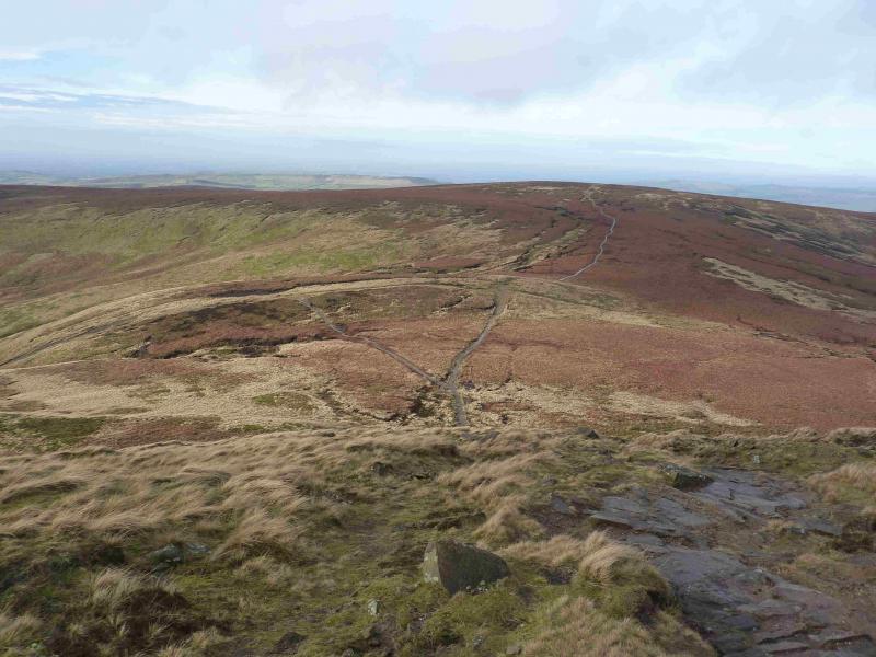
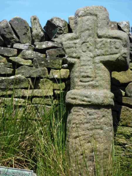
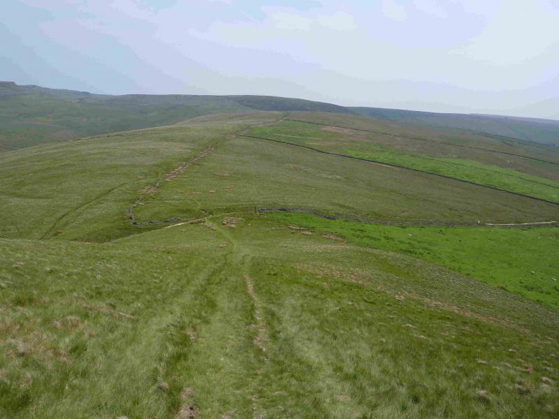
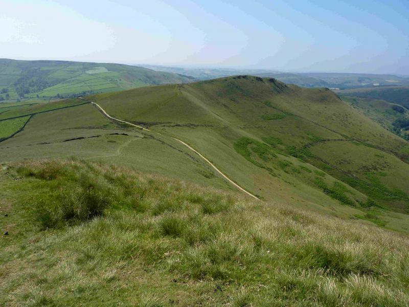
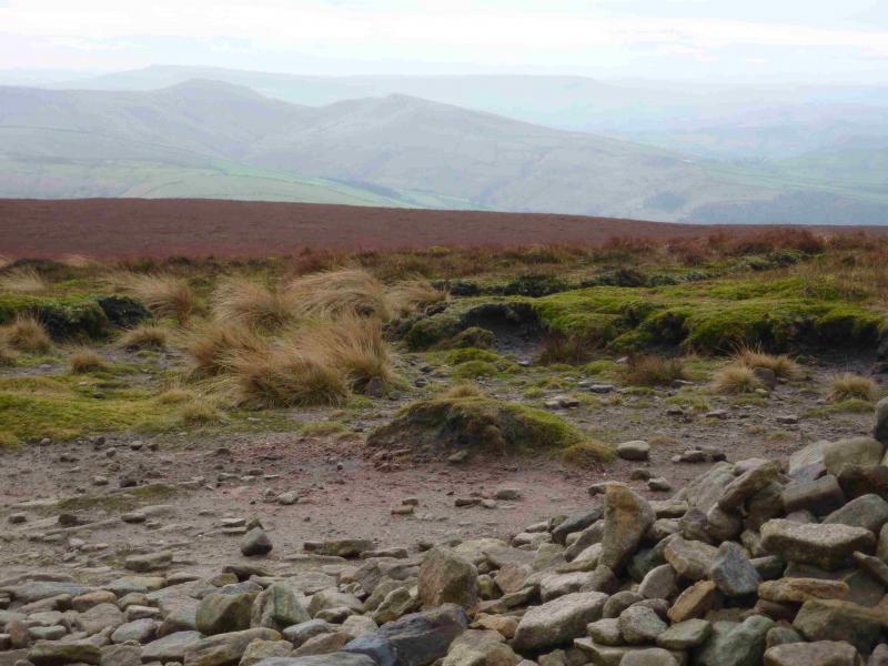
(5) Walk SW to the obvious very large cairn and follow the edge path S then SW heading for the Kinder Low End spur. The path has well spaced smaller cairns, easily seen in clear weather but too far apart in mist. The path leads to a slabbed path. When on this slabbed path, take the turn off left on to another slabbed path which passes below Swine's Back rocks (on your left). The slabs become a normal path about here which continues down to reach a very wide path at Edale Cross. The cross is behind the wall to the west. Turn left (towards Jacob's Ladder and Edale) to reach a sign pointing left for the Pennine Way. About here, a slabbed path goes right, S, towards Brown Knoll. Walk up the slabbed path to its highest point then leave it to ascend SE to reach a trig point (often in a bog) which is the summit of Brown Knoll, 569 m. Many leave the slabbed path too soon and have to endure a more boggy ascent.
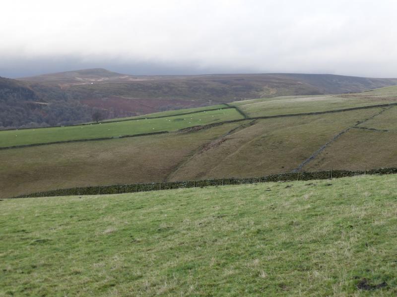
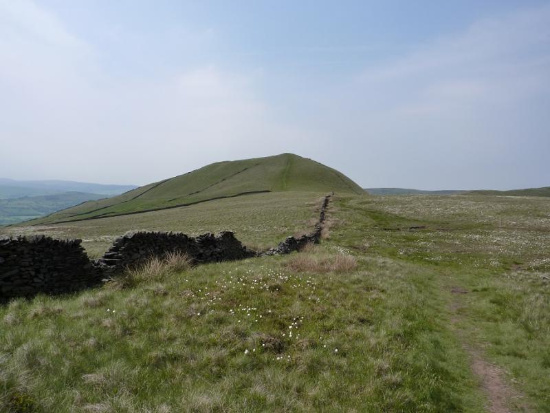
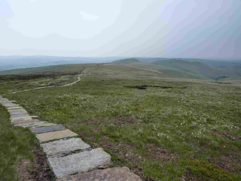
(6) Descend roughly W to rejoin the slabbed path. A broken wall and low fence will have to be crossed. Pass hill 489 and continue, following a wall. The slabbed path will run out at some stage but the wall is still there as a guide. The path eventually goes through a gap in the wall and reaches a main path. Cross this and follow the fainter grassy path up to the medium cairn of South Head, 494 m.
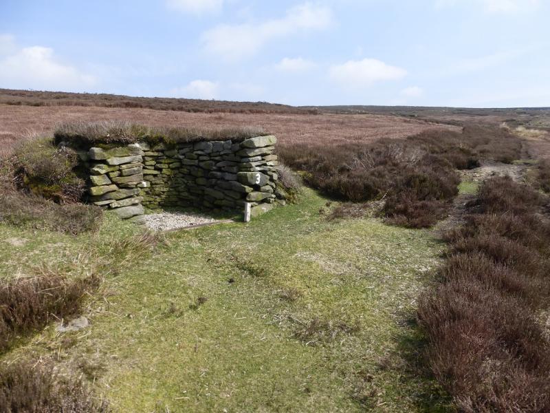
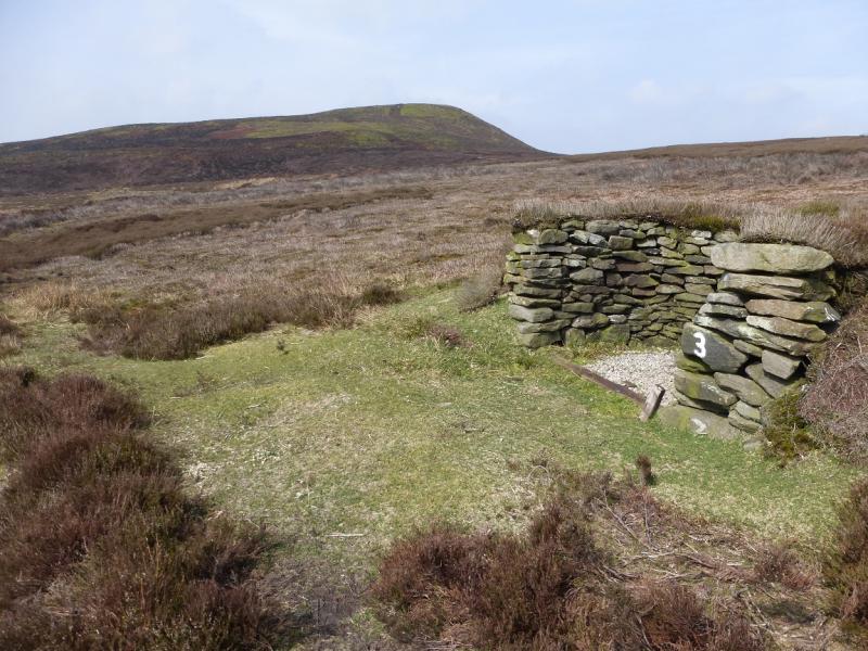
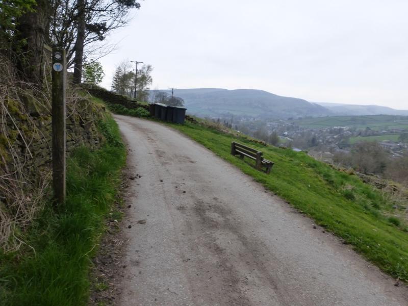
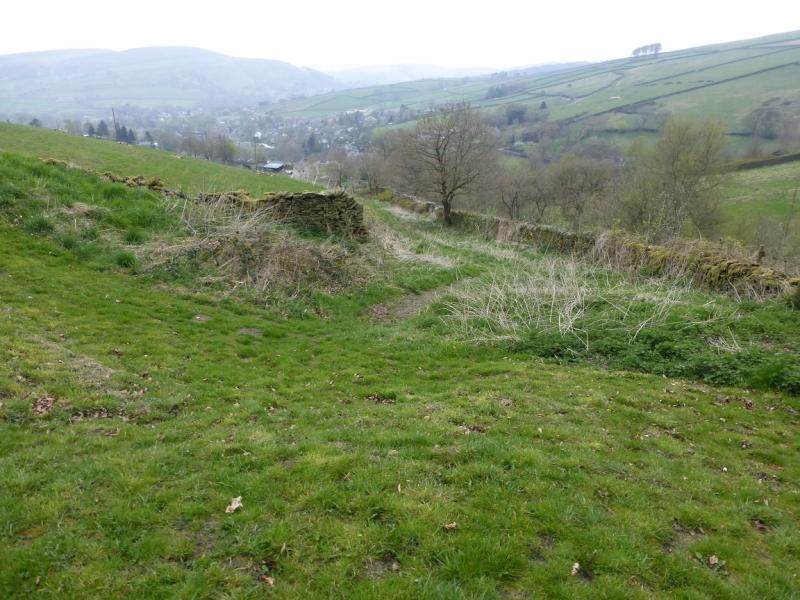
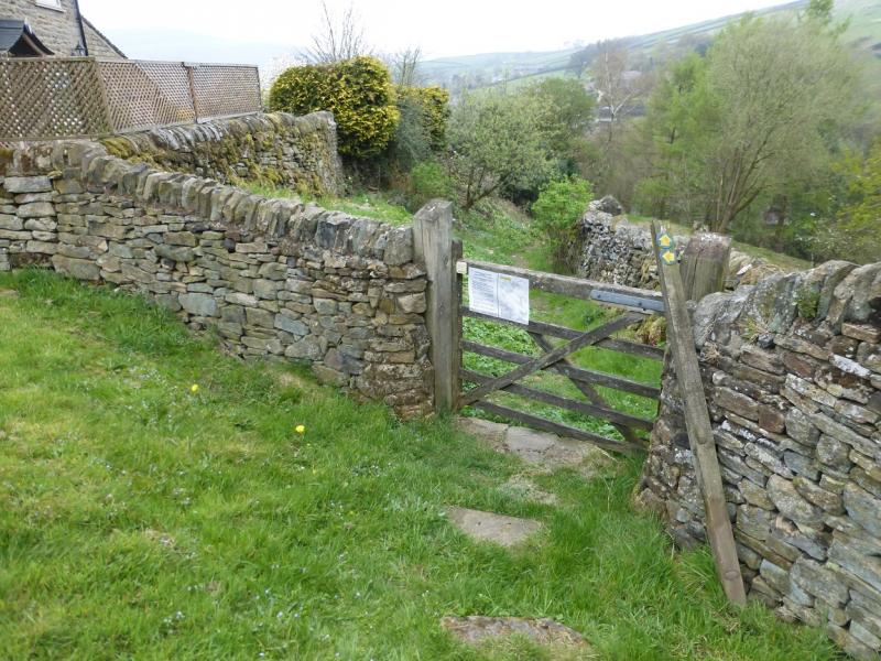
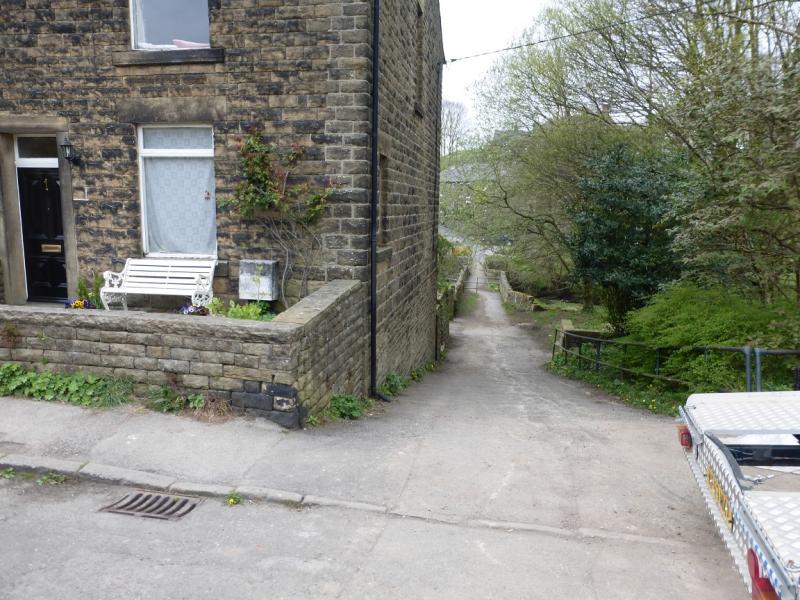
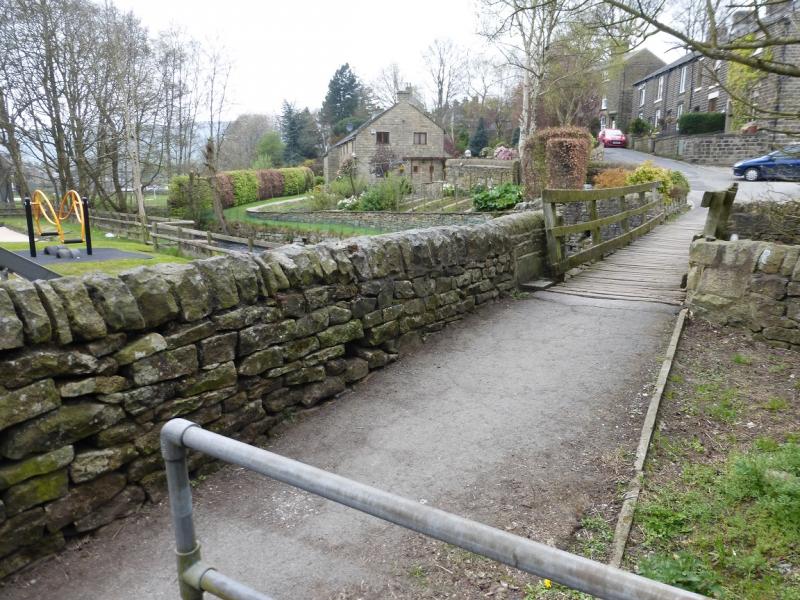
(7) Descend, on a faint path, roughly W to rejoin the main path recently crossed. Follow this for a short distance before turning right up a rough grassy track. This soon becomes a path and leads up on to Mount Famine, 470 m, where there is no cairn. Continue on the path which leaves the wall to follow the edge before coming back to the wall later on. Descend, with a short steep section, crossing a high stile at some stage. Continue along the crest and walk along the top of Elle Bank Wood. Soon the camp site will be seen below. Keep going. A little height will be lost but the wall is still above you on the left. Rhododendrons will appear on your right. Eventually, a reverse right fork is reached. Only take this if you are returning to the camp site otherwise continue ahead, ascending slightly. Reach a stone stile on the wall above. Cross over and head for the track ahead. Follow this down and round a bend. Soon after, fork right on to a descending footpath by a sign post. Follow this path down to reach a road on the S side of the river. Walk downstream then take the path on the right before the first house. This goes past a children's playground then crosses the river. Reach a road and follow it left, towards Hayfield. Just after a row of houses, on the right, a short path goes up to Kinder Road.
Notes
(a) This walk took place on 24th April, 2015.
(b) The camp site at Hayfield is very pleasant and well equipped. It is owned by the Camping and Caravanning Club. The rates for members, about £7 less per night, are very much below those for non-members. It may be worth joining as it only takes about six nights to break even.
Photos - Hover over photo for caption. Click on to enlarge. Click on again to reduce.