Get Lost Mountaineering
You are here: Scotland » 11 Kintail and Glen Affric to Loch Ness » Glen Affric to Loch Duich
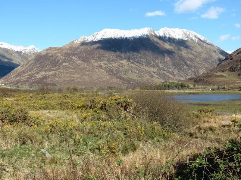
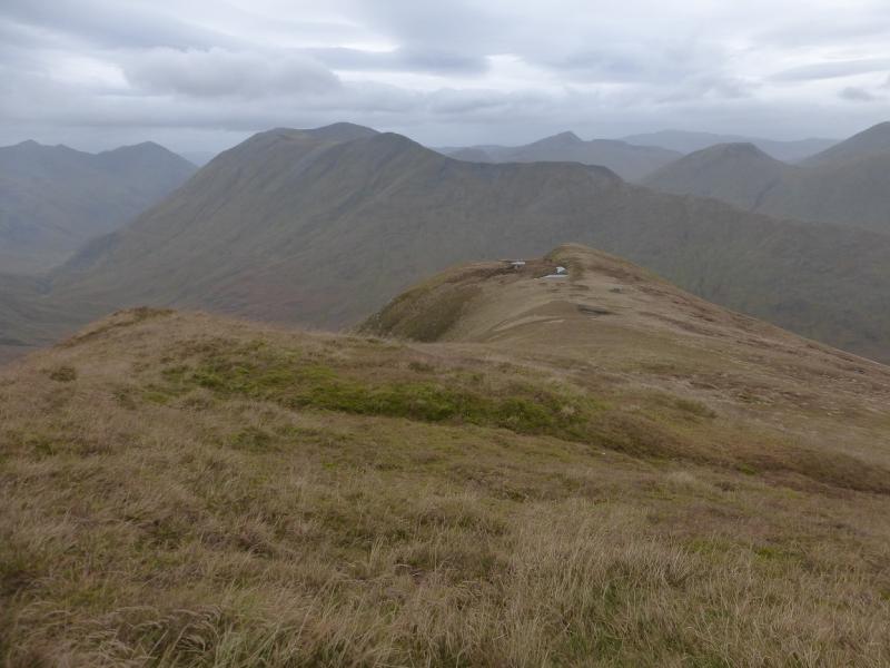
Beinn Fhada from Morvich near Shiel Bridge
Beinn Fhada from Morvich near Shiel Bridge
Start/Finish
Falls of Glomach car park/National Trust Ranger Office at Morvich near Shiel Bridge. This is just before the Caravan Club Site where some camping is available and the facilities, including Wi-Fi, are very good. Morvich is a right turn just before the causeway at Shiel Bridge. There is also a turning after the causeway. Shiel Bridge is about 15 miles east of the Kyle of Lochalsh on the A87 road to Invergarry.
Distance/Time
19 km About 9 -10 hours (under snow)
Peaks
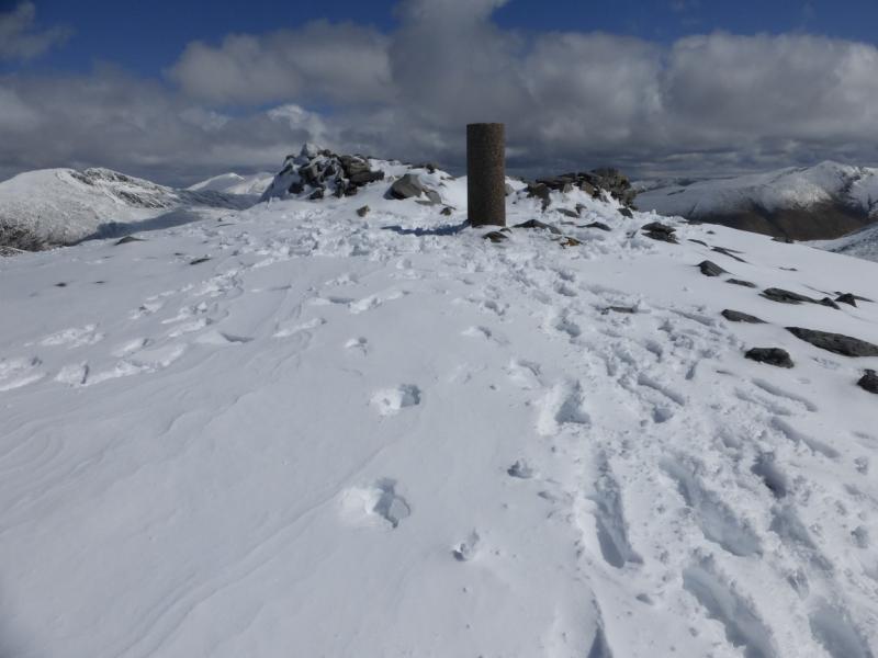
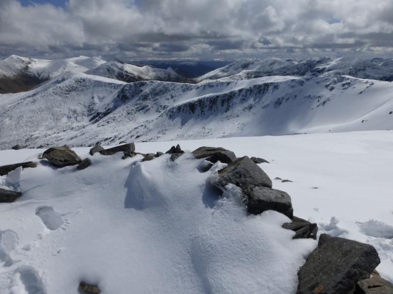
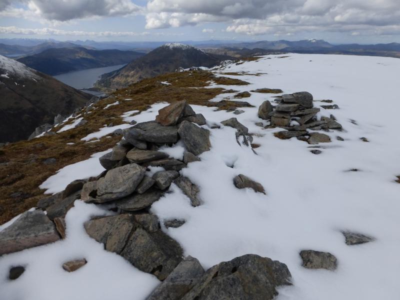
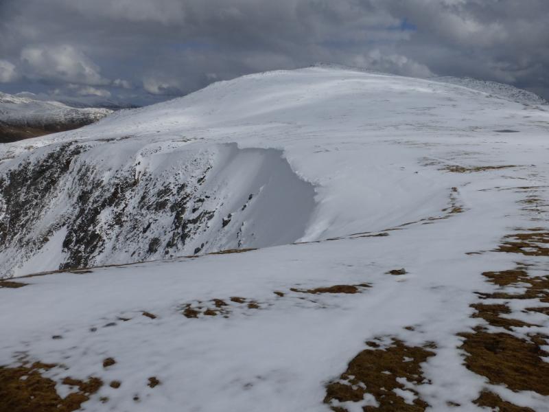
Beinn Fhada (Ben Attow), 1032 m, NH 018 192.
Sgurr a' Dubh Doire, 962 m, NH 034 185.
Meall an Fhuarain Mhoir, 954 m, NG 999 196.
Introduction
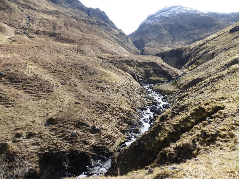
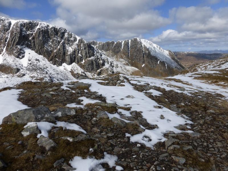
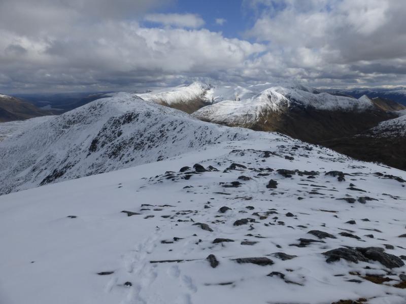
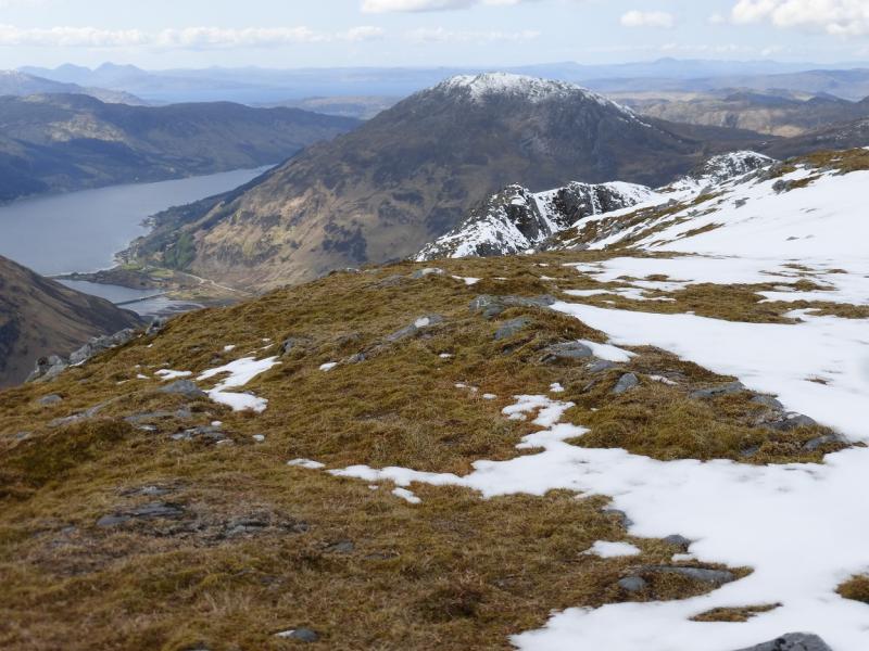
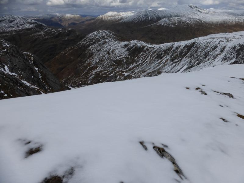
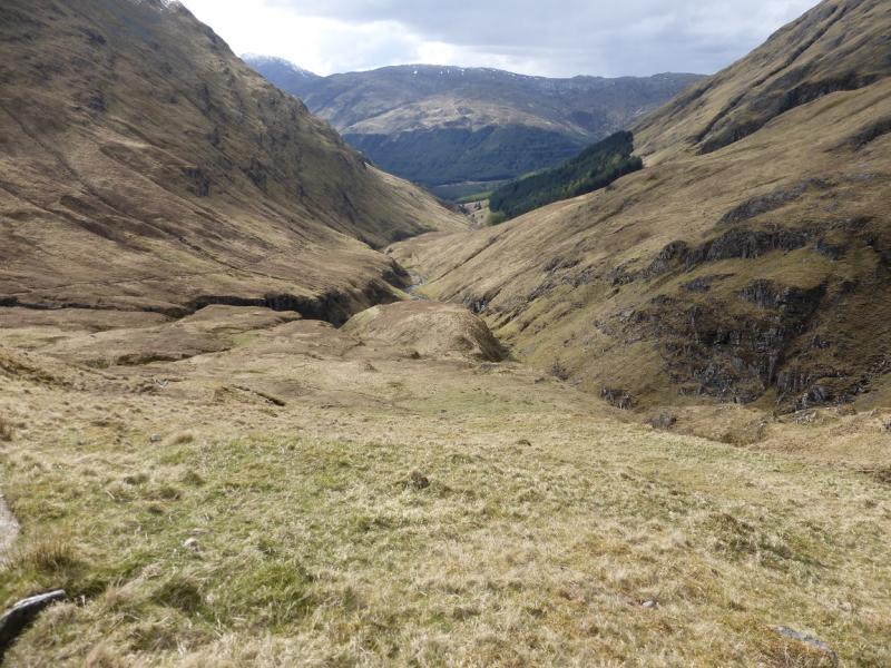
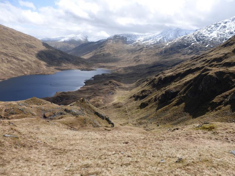
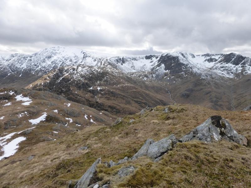
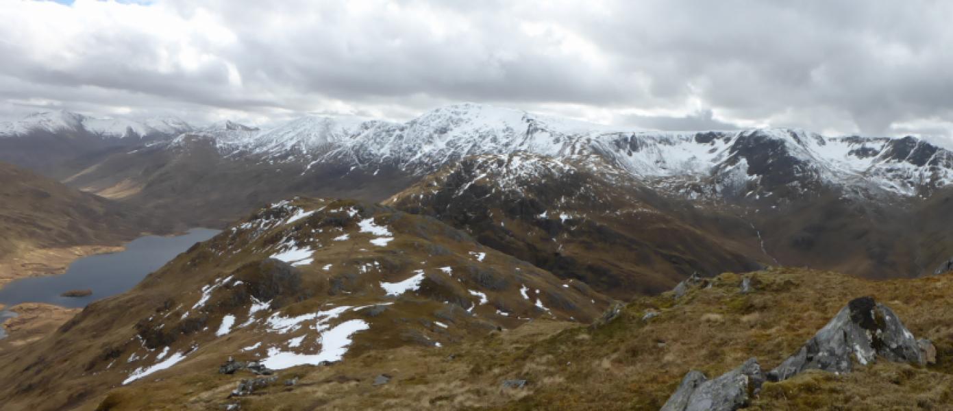
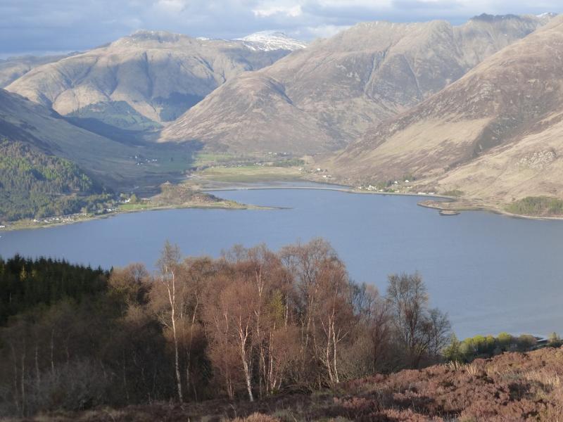
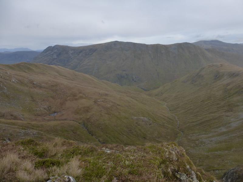
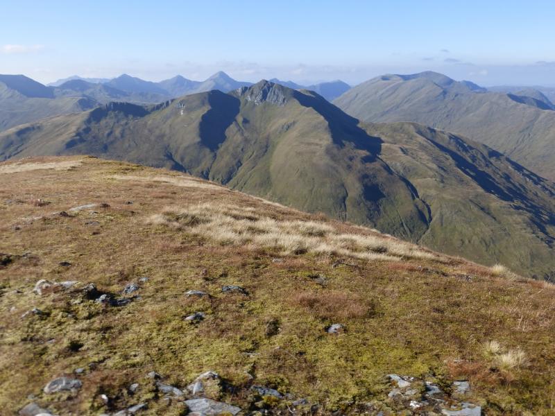
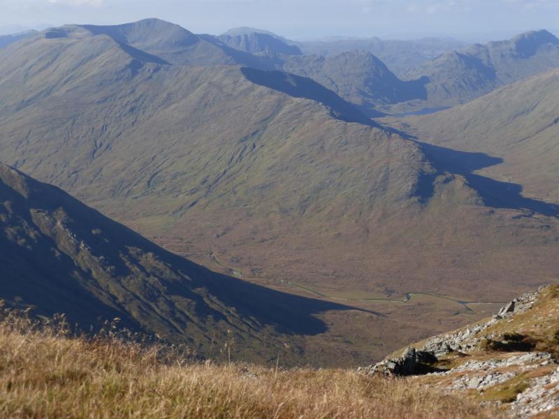
This is a longish walk which is tough in places. It can be noticeably shortened by omitting the subsidiary tops and just visiting the main summit but this would also lessen the enjoyment of the walk as some of the views would be lost. There are superb views which include the Five Sisters, the Three Brothers (continuation of the Five Sisters to the east), Ciste Dhubh, Mullach Fraoch-choire, Sgurr Gaorsaic and Sgurr nan Ceanthreamhnan, Glen Affirc, Mam Sodhail and Carn Eighe, A' Ghlas-bheinn and Sgurr an Airgid so save this walk for a clear day! Note that there is a stream crossing which can be very difficult after rain when this route is not recommended.
Route
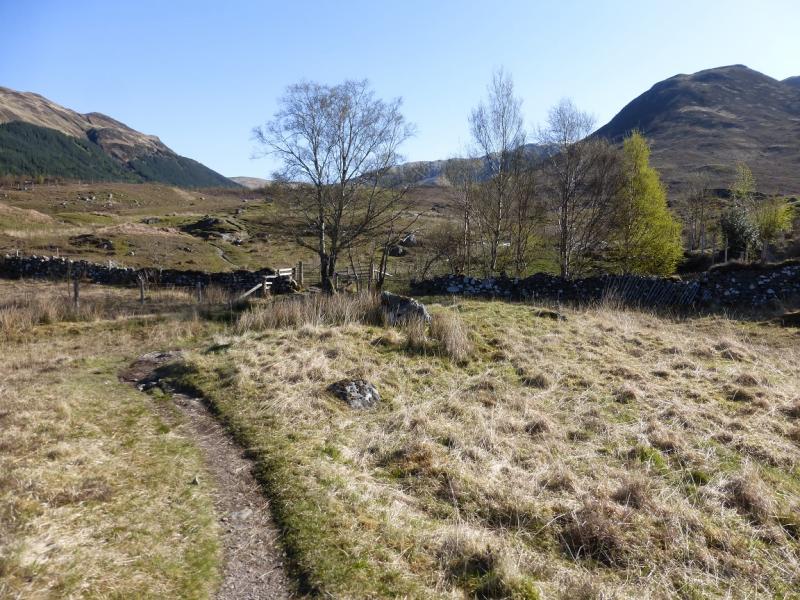
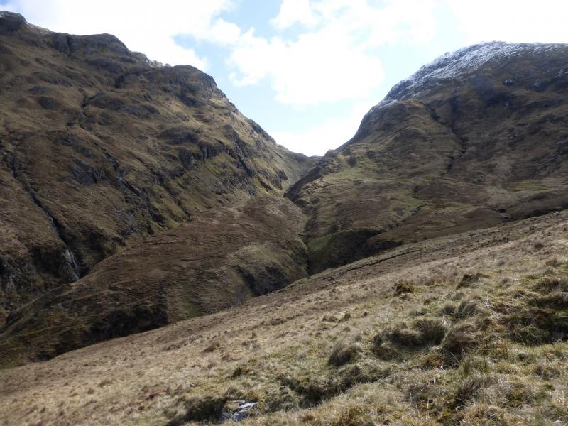
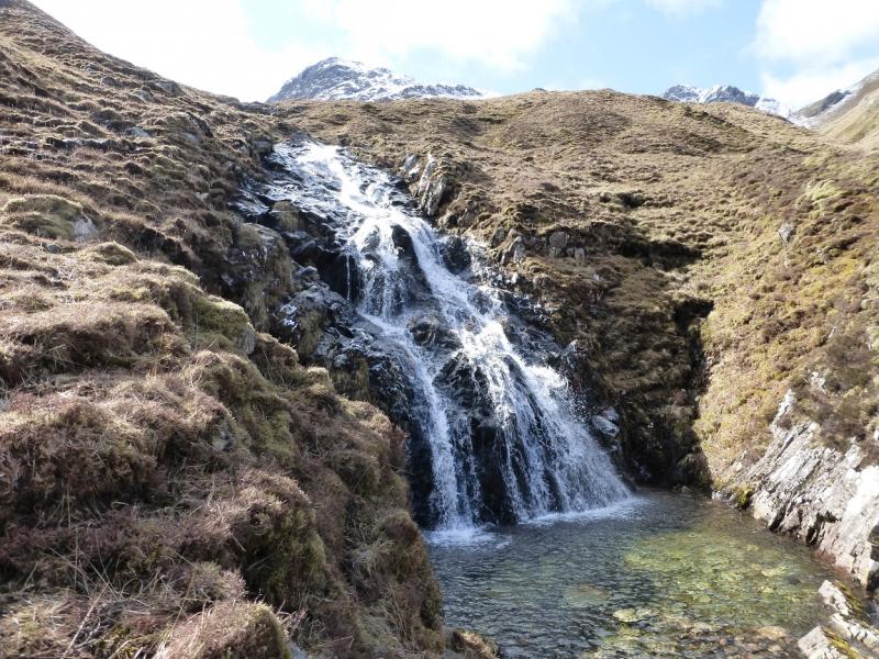
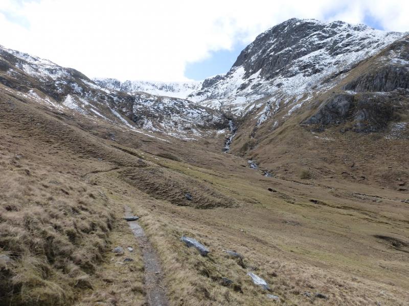
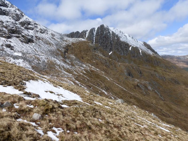
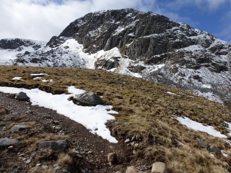
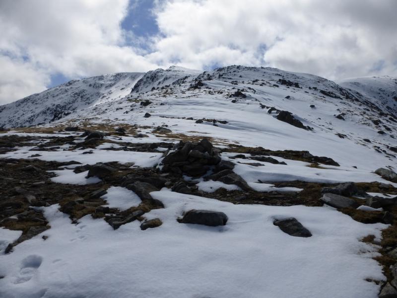
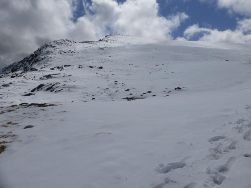
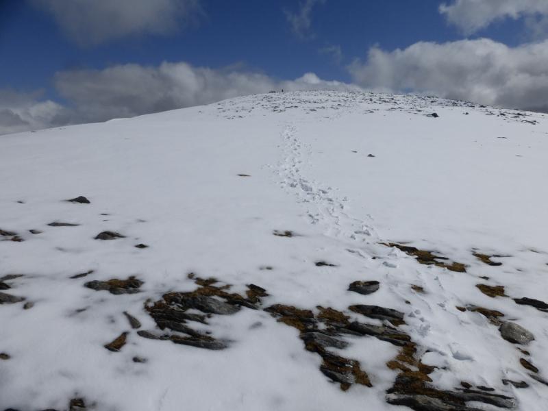
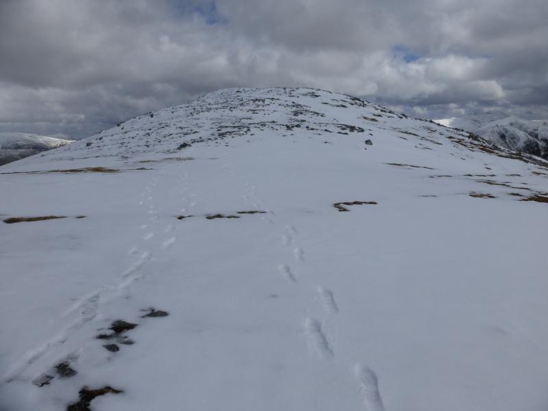
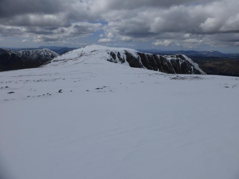
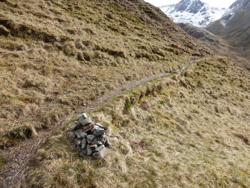
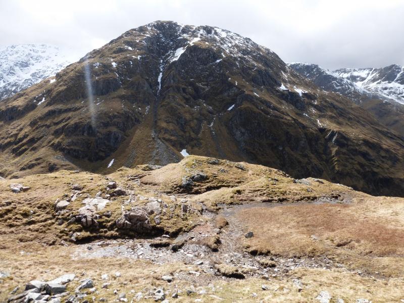
(1) From the car park, walk up the road to its end. Cross the bridge on to a track then, soon after, take the signed path for the Falls of Glomach which passes to the N of the Beinn Bhuidhe ridge. When the route for the Falls of Glomach goes left (signed), continue on the main path which heads up towards the Bealach an Sgairne between A' Ghlas-bheinn and Beinn Fhada. In just under another 2 km, the troublesome stream is reached. If you can cross, continue up the path towards the bealach but you are not going that far. After about 500 m and lots of bends, there is a path going off right, S, at a small cairn. Take this path which soon crosses (easily) a small gorge then descends before working its way up the corrie. Further on it zig zags up on to the N ridge of Beinn Fhada between Meall a' Bhealaich and the summit. There is a cairn where the ridge is joined. Continue up easy slopes to reach a large cairn and a trig point which mark the summit of Beinn Fhada (Ben Attow), 1032 m. If not going to the subsidiary tops then retrace the route of ascent.
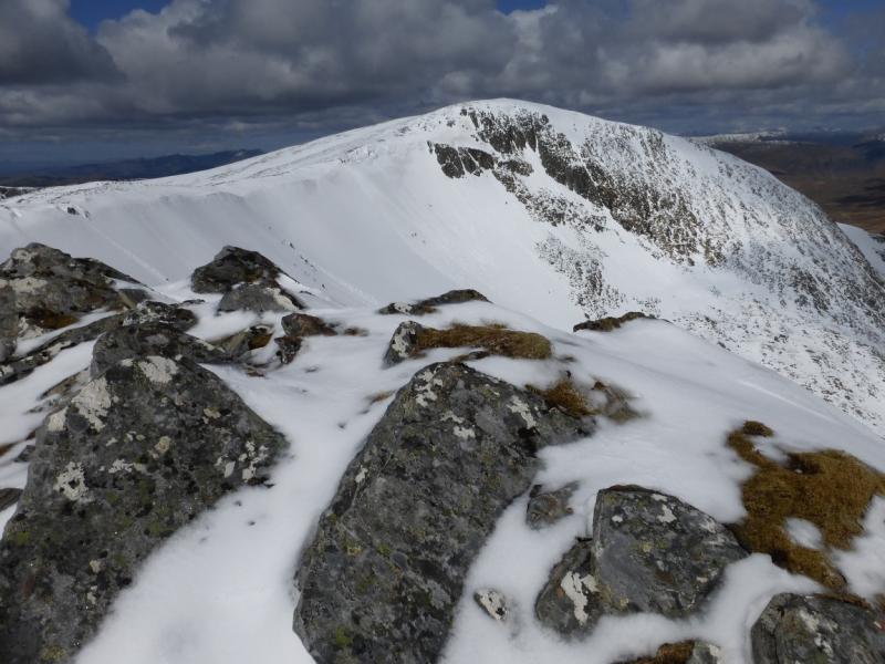
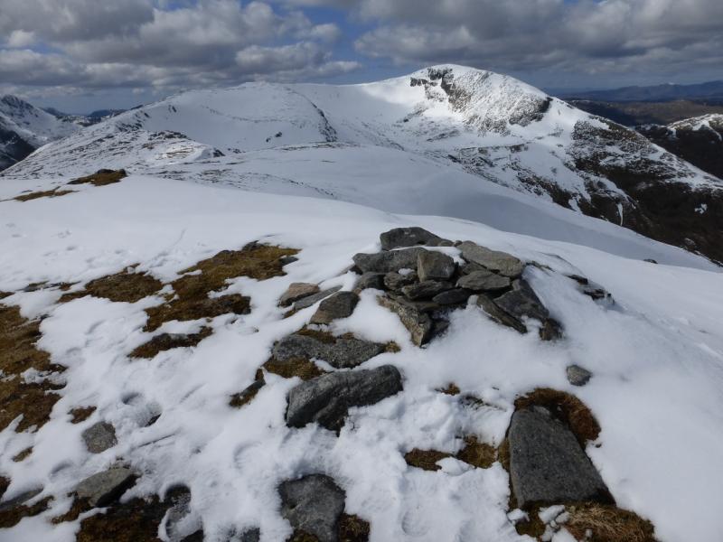
(2) Descend S, gradually curving around to the E, to reach a well defined but broad ridge which goes over a minor top, descends to a bealach then ascends to a top with a small cairn which marks the summit of Sgurr a' Dubh Doire, 962 m, NH 034 185. There is a fine view down Glen Affric from here. It is about 2.5 km from the main summit to here.
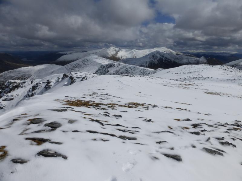
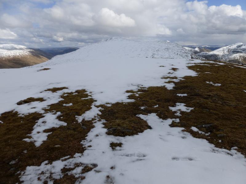
(3) Retrace along the ridge but traverse Beinn Fhada on its SW side. This plateau is the Plaide Mhor. Once on the “crest” between Beinn Fhada and Meall an Fhuarain Mhoir, descend gentle slopes,WNW, to reach a shallow bealach then ascend up to a small cairn perched above the steep slopes down into Gleann Lichd. This is Meall an Fhuarain Mhoir, 954 m. It is nearly 5 km from Sgurr a' Dubh Doire to Meall an Fhuarain Mhoir.
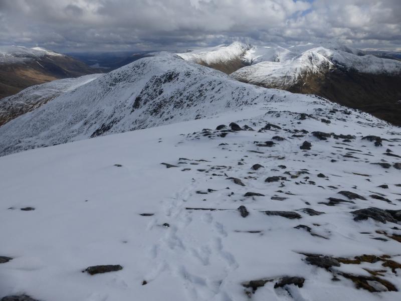
(4) Retrace towards Beinn Fhada but follow the edge of the corrie from the bealach, heading E then curving around to the N to join the ridge between Beinn Fhada and Meall a' Bhealaich where the outward path should be rejoined. Follow this down to the cairn where the zig zags start then retrace the outward route.
Notes
(a) This walk took place on 1st May, 2015.
(b) Omitting the two subsidiary tops saves about 2- 3 hours.
(c) In wet weather, the awkward river crossing can be avoided by starting at Dorusduain. This approach is described for Sgurr Gaorsaic.
Photos - Hover over photo for caption. Click on to enlarge. Click on again to reduce.