Get Lost Mountaineering
You are here: Scotland » 11 Kintail and Glen Affric to Loch Ness » Glen Affric to Loch Duich
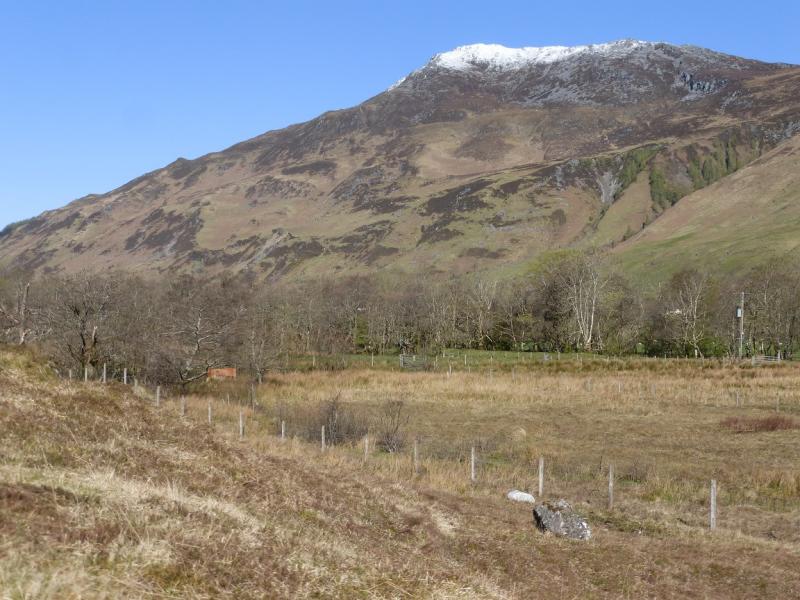
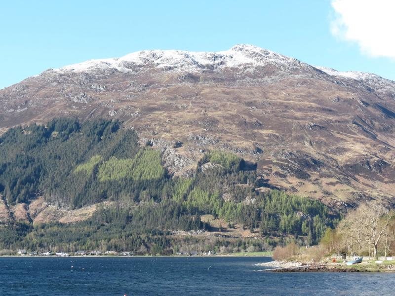
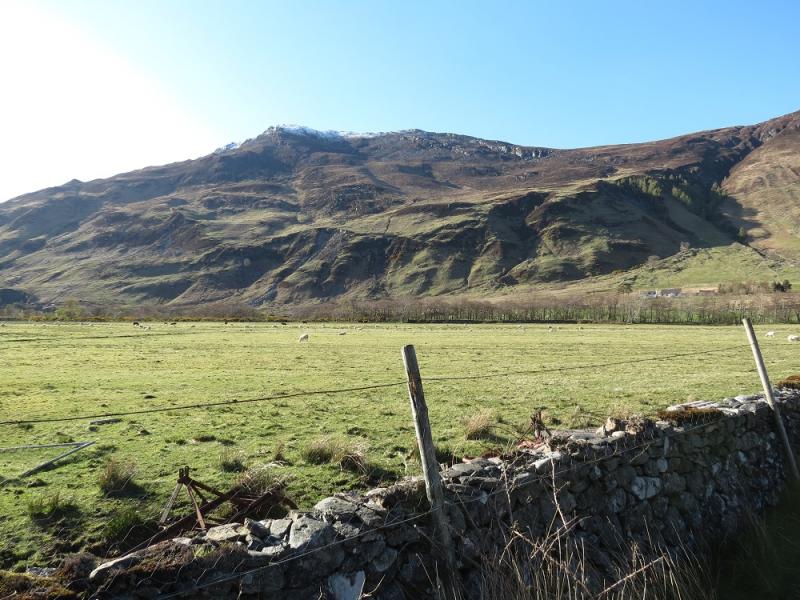
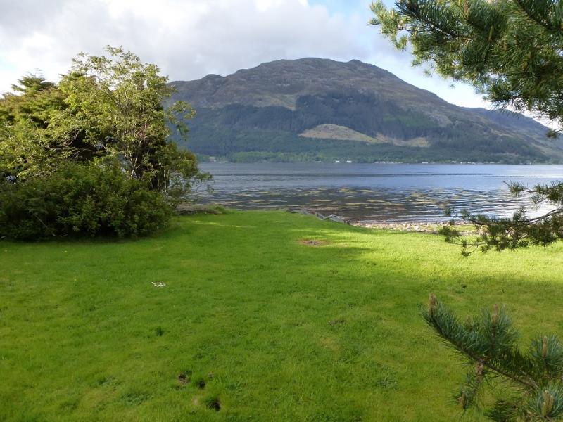
Sgurr an Airgid from near Shiel Bridge causeway
Sgurr an Airgid from near Shiel Bridge causeway
Start/Finish
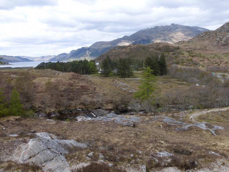
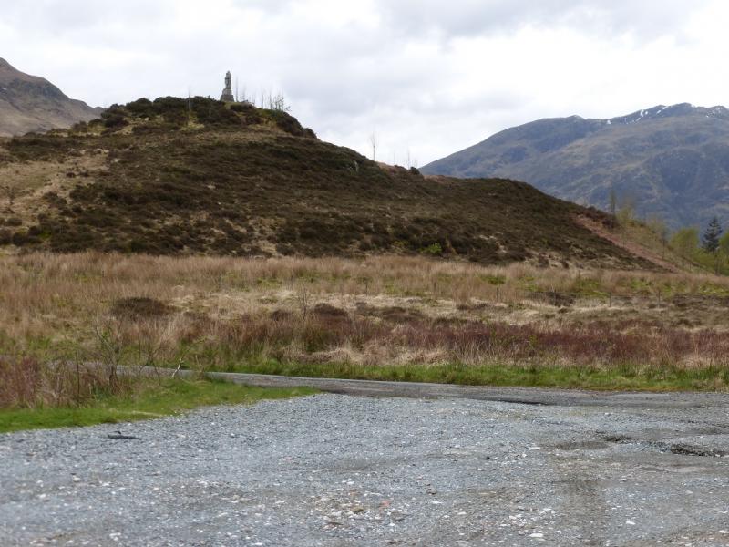
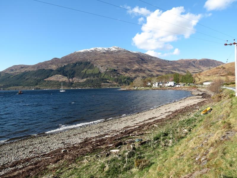
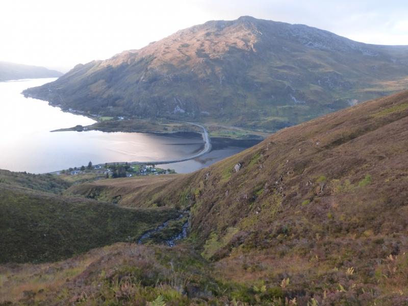
Large verge car park next to cemetery entrance which is just up the minor road to Morvich on the western end of the causeway at Shiel Bridge. Shiel Bridge is about 15 miles east of the Kyle of Lochalsh on the A87 road to Invergarry. This minor road leads to the Caravan Club Site where some camping is available and the facilities, including Wi-Fi, are very good.
Distance/Time
9 km About 4 -5 hours
Peaks
Sgurr an Airgid, 841 m, NG 940 227.
Sgurr an Airgid, W Top, 806 m, NG 937 228. OS sheet 33.
Introduction
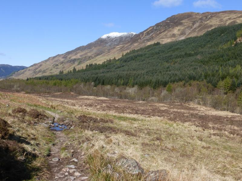
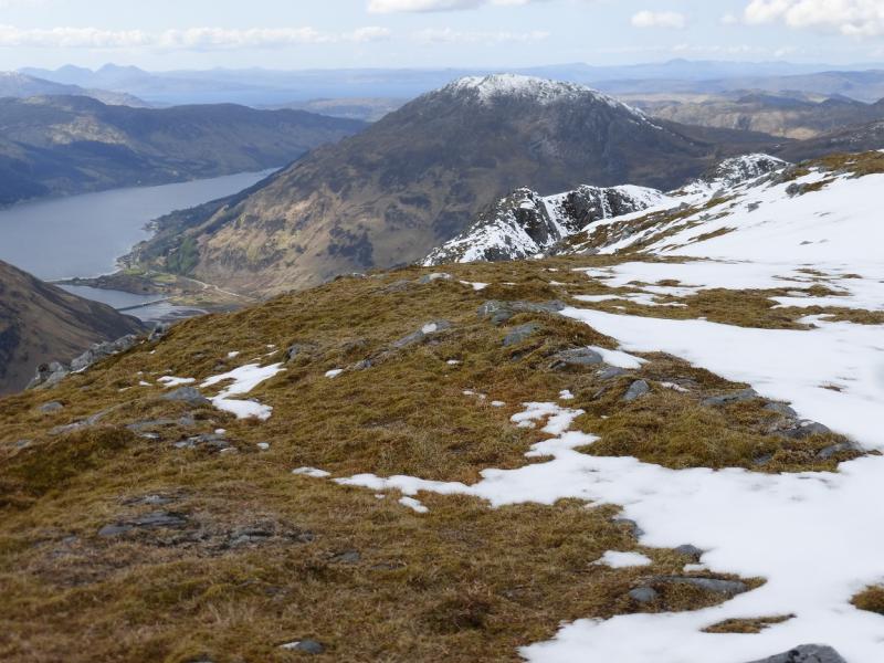
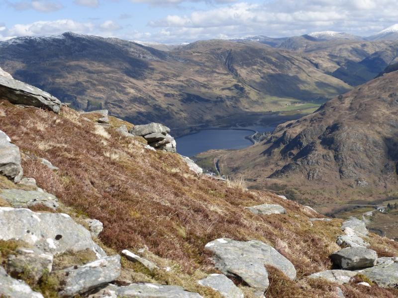
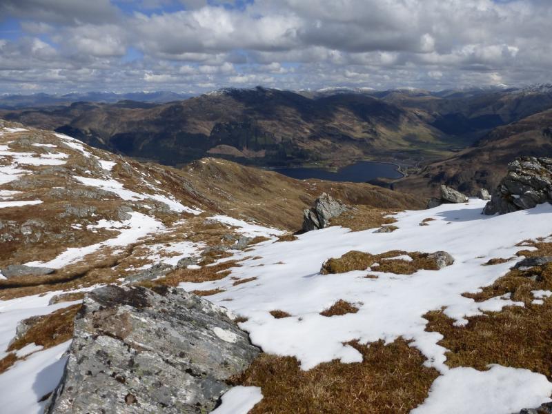
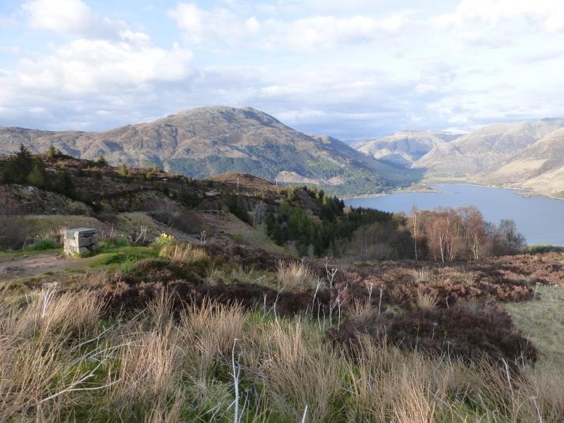
This is a pleasant walk with a good path or track almost all the way although there can be some short boggy sections. As the route starts from sea level, it can involve more ascent than many Munros! It is a superb viewpoint, especially for Beinn Fhada, A' Ghlas-bheinn, Carnan Cruithneachd, Sgurr Mhic Bharraich, The Saddle and parts of the Five Sisters. On a clear day, there are good views to the west including Skye and Beinn Sgritheall. A short detour to the W Top is described as this gives even better views out to the west.
Route
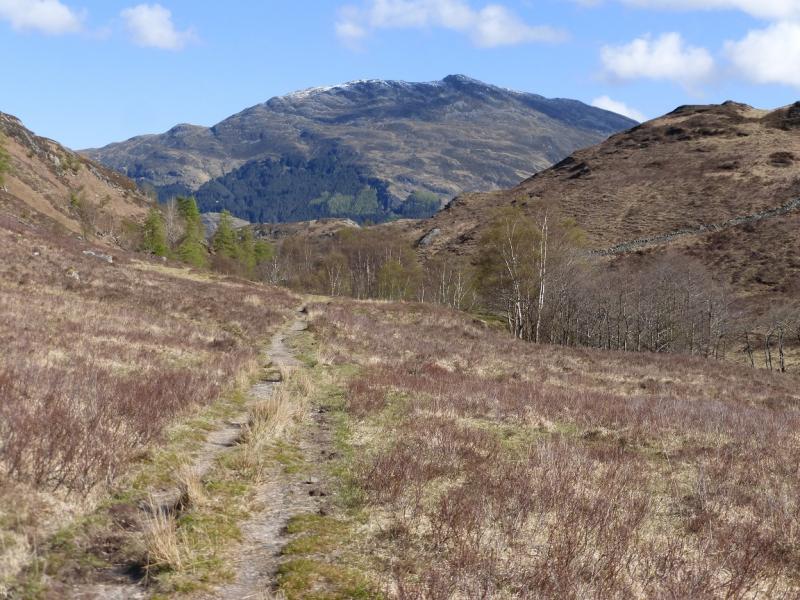
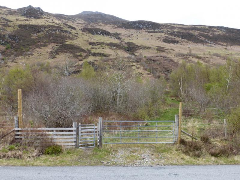
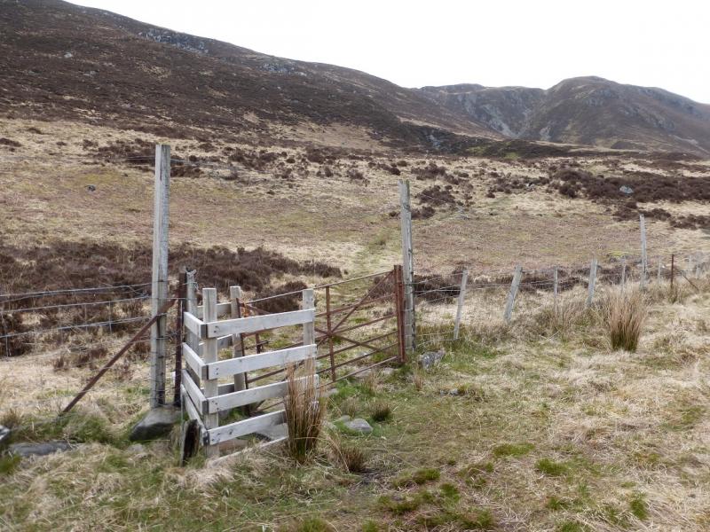
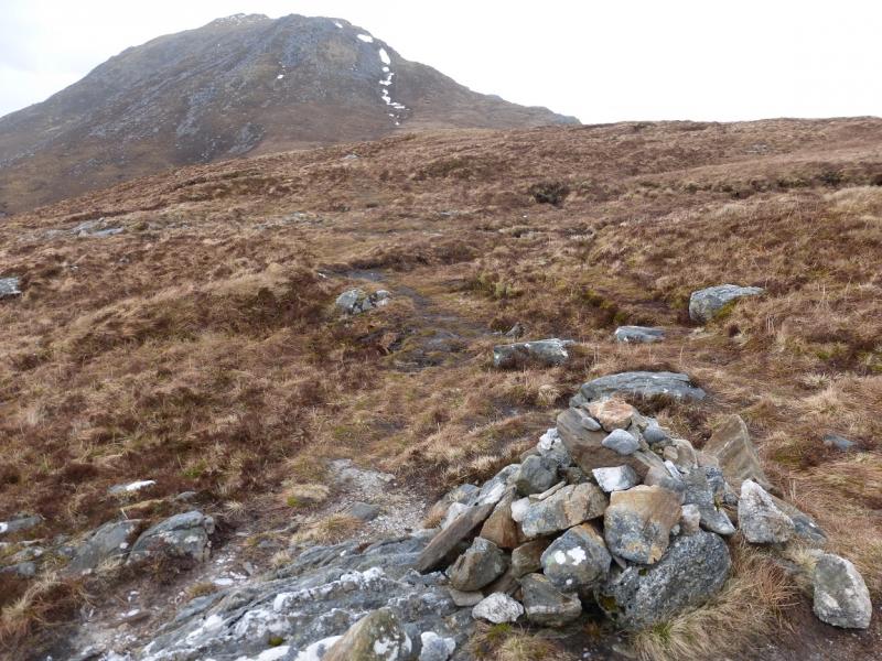
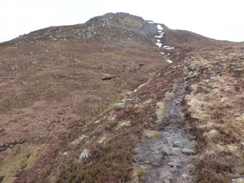
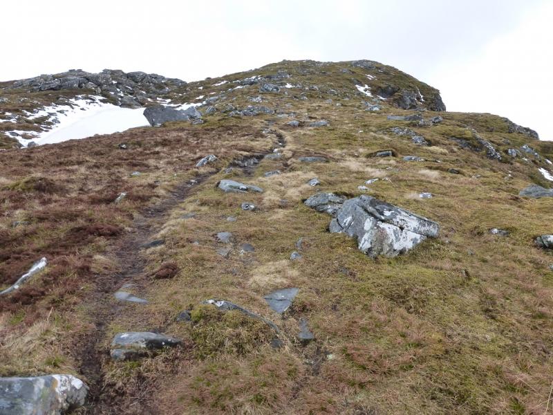
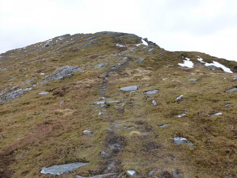
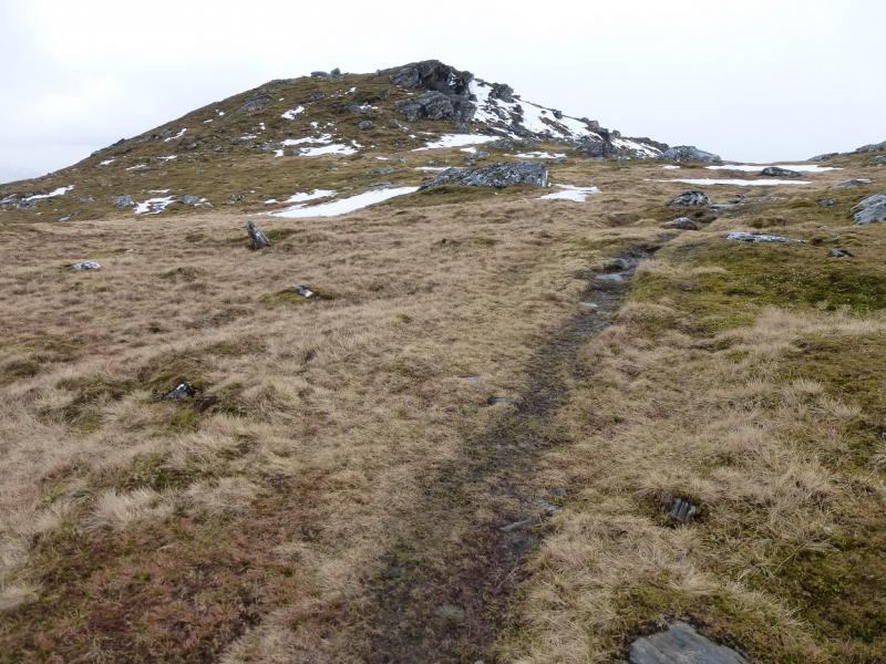
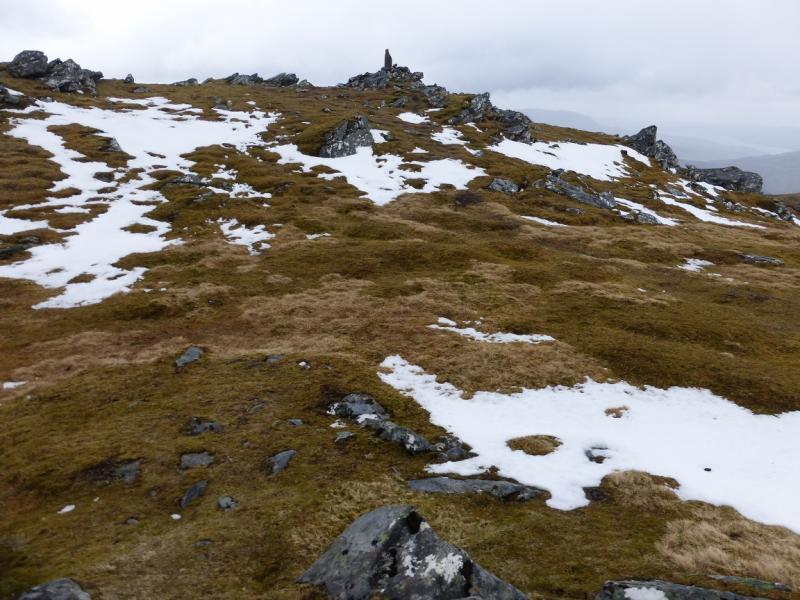
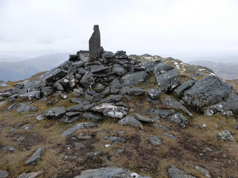
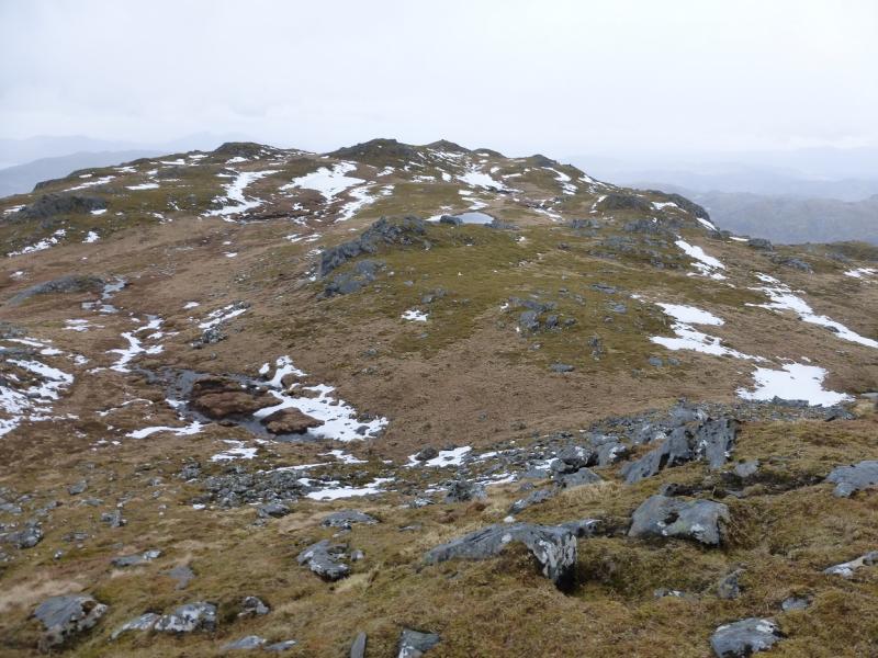
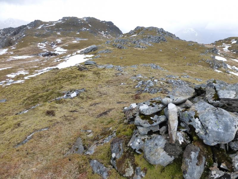
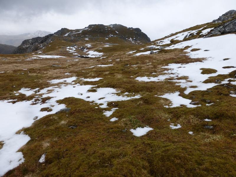
(1) Opposite the cemetery parking area (large gravel verge) is a gate which is where the route starts. Follow the track up until it becomes a path. Cross a fence by a gate then continue up almost to the edge of a very large gully. The path zig-zags a lot and is not so obvious as it finally ascends on to the broad ridge between Sgurr an Airgid and Beinn Bhuidhe. Follow the path along the ridge, heading roughly E. The path almost reaches the summit, ending about 200 m to its N where the ground becomes quite bouldery but easy to negotiate. Pick a way up through the bouldery area and reach a flat area about 100 m from the summit cairn which seems to have a prominent finger rock in it but this is actually the remains of a circular trig point which may have disappeared completely if this walk is attempted much after 2015. The cairn and trig point mark the summit of Sgurr an Airgid, 841 m.
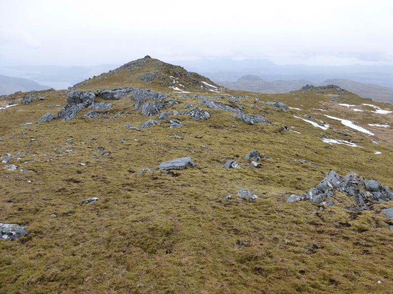
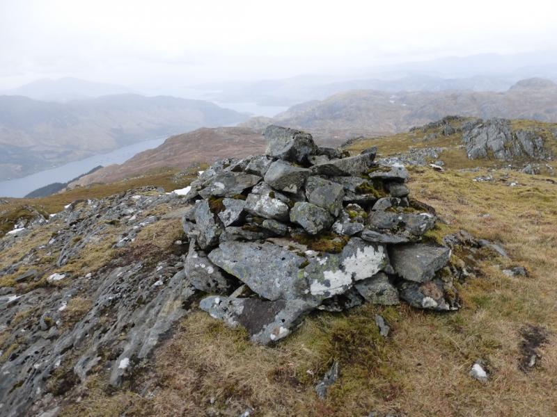
(2) The W Top lies about 400 m WNW of the summit and is obvious in clear weather. There are hints of paths across the uneven area in between which also holds a small lochan. A medium cairn marks the summit of Sgurr an Airgid, W Top, 806 m.
(3) Either retrace to the main summit or traverse to its N side to regain the outward path and follow it back to the start. Be careful when the path leaves the crest as it is not so obvious around this area.
Notes
(a) This walk took place on 5th May, 2015.
(b) Omitting the W Top saves about 30 – 40 minutes but at the cost of losing some good views.
Photos - Hover over photo for caption. Click on to enlarge. Click on again to reduce.